Mori Atlas logo
Nearby park discovery

Mapping regional park distribution and surrounding conservation landscapes in Alberta

Protected Areas and Geographic Landscapes Near Richardson Lake Migratory Bird Sanctuary

This geographic overview tracks protected lands and significant natural sites situated within the regional proximity of Richardson Lake Migratory Bird Sanctuary. By examining these nearby boundaries and landscape contexts, users can analyze the distribution of boreal wetlands and riparian zones across the surrounding terrain of northern Alberta.

Related tags

migratory bird sanctuaryboreal wetlandwaterfowl refugeImportant Bird AreaPeace-Athabasca Delta

A boreal lake sanctuary in northeastern Alberta, anchoring a key migratory waterfowl corridor within the Peace-Athabasca Delta.

Richardson Lake Migratory Bird Sanctuary

Richardson Lake Migratory Bird Sanctuary is a federally protected bird sanctuary in the remote northeastern corner of Alberta, Canada, encompassing Richardson Lake and the adjacent stretches of the Athabasca River floodplain. Established in 1949 on the initiative of naturalist J. Dewey Soper, the sanctuary was created to safeguard breeding, staging, and migratory habitat for waterfowl in one of the most important wetland complexes of the western boreal plains. The protected area lies within the Peace-Athabasca Delta, a vast freshwater wetland system recognized internationally by BirdLife International as an Important Bird Area. The sanctuary overlaps with the Richardson Wildland Provincial Park, forming a layered conservation landscape of boreal forest, open water, sedge meadows, and shallow shoreline habitat that supports an unusually rich diversity of ducks, geese, swans, shorebirds, gulls, and terns. Beyond its ecological role, the sanctuary is significant as a case study in how large-scale hydroelectric development can reshape bird habitat: the construction of the W. A. C. Bennett Dam on the Peace River in 1968 altered downstream hydrology, lowered average water levels in the area, and reduced the quality and extent of waterfowl habitat. The sanctuary thus stands both as a refuge and as a long-term record of the intersection between boreal wetland conservation and upstream river management.

Location
Canada
Park type
Wildlife reserve
Established
1949
Area
108 km²
Richardson Lake Migratory Bird Sanctuary Atlas
Regional park map

See the ranked park cluster in its geographic setting

Nearby parks around Richardson Lake Migratory Bird Sanctuary

This regional map shows the same 20 nearby parks ranked below around Richardson Lake Migratory Bird Sanctuary. Select a ranked marker to highlight that park’s boundary where boundary data is available.
Reference park: Richardson Lake Migratory Bird SanctuaryRanked nearby parkSelected boundary: Richardson Lake Migratory Bird Sanctuary20 nearby parks shown
20 nearby parks

Distance-ranked conservation areas across the northern Alberta regional landscape

Parks and Protected Areas Geographically Near Richardson Lake Migratory Bird Sanctuary

Browse protected areas ranked by straight-line geographic separation from Richardson Lake Migratory Bird Sanctuary to examine surrounding regional park geography. Compare recorded environmental characteristics and country context to evaluate how adjacent wetland and boreal habitats connect across the broader terrain.
National parkNorthwest Territories
8.1 km away#1 closest

Northwest

Wood Buffalo National Park: Mapped Protected Landscape and Geographic Context

Explore Canada's Wood Buffalo National Park mapped boundaries.

Wood Buffalo National Park serves as a critical protected area, offering a detailed view of its mapped boundaries and regional geographic setting within Northwest Territories. As a national park, it represents a significant natural landscape to explore. This entry provides structured information ideal for understanding the park's specific location and its role in the broader atlas of protected lands.

Area
44,741 km²
Established
1922
IUCN
II
Visitors
2.4K annual
National parkNorthwest Territories
About 493 km away#2 closest

North

Thaidene Nëné National Park Reserve: Northwest Territories National Park Atlas Overview

Mapped geography and protected landscape context.

Investigate Thaidene Nëné National Park Reserve, a key national park within the Northwest Territories. This detailed entry focuses on its protected area status, mapped geographic boundaries, and regional landscape context, crucial for understanding its role in the broader atlas of conservation lands.

Area
14,070 km²
Established
2019
IUCN
II
Relief
Highland
National parkSaskatchewan
521 km away#3 closest

Southeast

Prince Albert National Park: Saskatchewan National Park and Protected Area Geography

Mapped Landscape Boundaries and Regional Natural Terrain Context

Prince Albert National Park represents a distinct national park entity within Saskatchewan, vital for understanding regional geography and protected landscapes. This page offers detailed insights into its mapped boundaries and the surrounding natural terrain. It is designed to help users comprehend the park's specific protected area identity and its contribution to the broader geographic atlas of Canada's natural spaces.

Area
3,874 km²
Established
1927
IUCN
II
Visitors
287.4K annual
National parkAlberta
526 km away#4 closest

South

Elk Island National Park: National Park Protected Landscape and Alberta Geography

Discover the mapped terrain and protected boundaries.

Elk Island National Park, a designated national park in Alberta, Canada, offers a distinct protected landscape for geographic exploration. This detail page focuses on its mapped boundaries, regional setting within Western Canada, and the specific natural terrain that constitutes its protected area. Users can gain a structured understanding of Elk Island National Park's role as a conserved natural entity, ideal for atlas-based discovery and geographic context.

Area
194 km²
Established
1913
IUCN
II
Visitors
401.9K annual
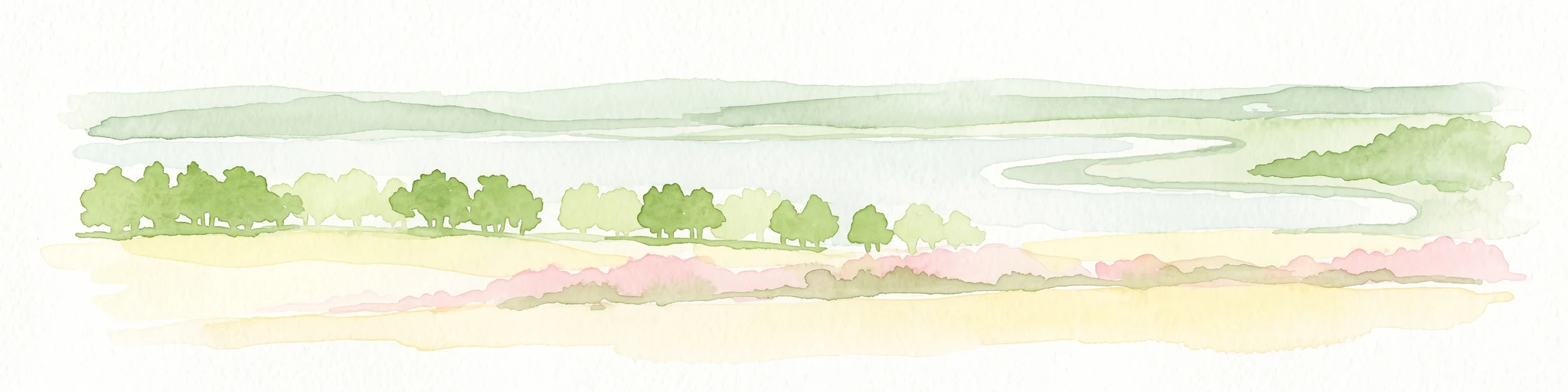
A minimalist watercolor illustration showing a light blue lake, green trees, and soft yellow ground.
Wildlife reserveAlberta
596 km away#5 closest

Southwest

Saskatoon Lake Migratory Bird Sanctuary: Protected Wetland Landscape in Alberta

Geographic overview of sanctuary boundaries and habitat zones

Examine the territorial footprint and environmental setting of Saskatoon Lake Migratory Bird Sanctuary. This site highlights the intersection of shallow aquatic basins and boreal parkland vegetation, providing a deep look into protected areas within the Grande Prairie region of Alberta.

Area
11.5 km²
Established
1948
IUCN
III
Wildlife reserveSaskatchewan
626 km away#6 closest

South

Scent Grass Lake Migratory Bird Sanctuary: Regional Geography and Wetland Protected Area Maps

Key waterfowl breeding and molting ground in Saskatchewan.

Examine the ecological significance of Scent Grass Lake Migratory Bird Sanctuary, a critical wildlife reserve within the Saskatchewan Aspen Parkland. This protected area offers essential open water and sedge marsh environments for migratory waterfowl, serving as a vital staging and breeding site that maintains regional habitat stability in the Canadian prairies.

Area
6.47 km²
Established
1948
IUCN
IV
Relief
Lowland
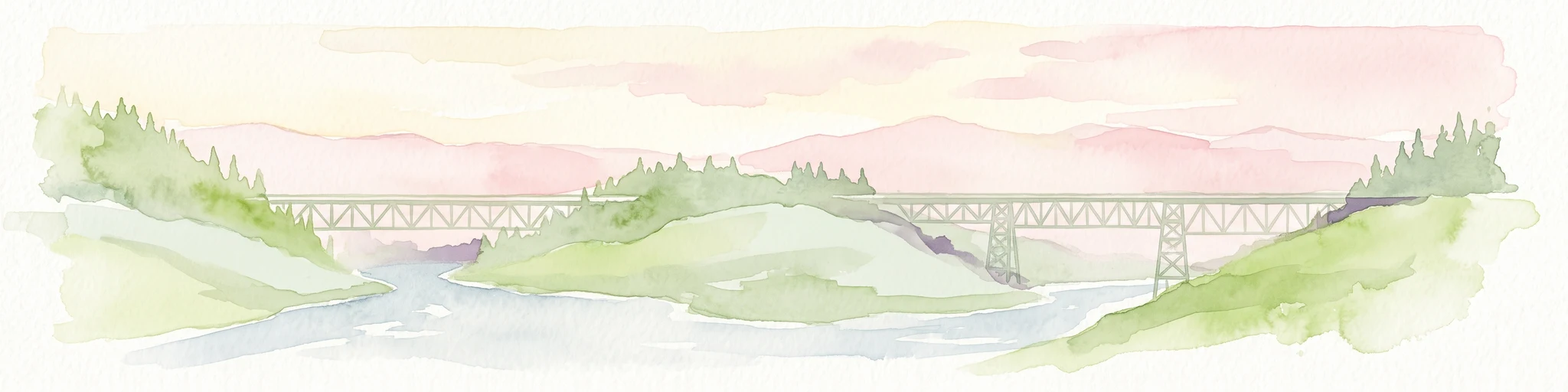
Watercolor painting of a long truss bridge spanning a river winding through a valley with hills and trees in the background.
State or regional parkBritish Columbia
About 628 km away#7 closest

West

Kiskatinaw Provincial Park: A Protected Landscape Along the Historic Alaska Highway

Geography and heritage in the Peace River region of British Columbia

Kiskatinaw Provincial Park encompasses a distinctive horseshoe meander of the Kiskatinaw River, creating a deep gorge carved into the terrain of northeastern British Columbia. This protected area serves as a focal point for understanding both the river geomorphology of the Peace River Country and the engineering history of the original Alaska Highway, exemplified by the iconic 1942 wooden trestle bridge.

Area
0.58 km²
Established
1962
IUCN
II
Relief
Upland
Wildlife reserveSaskatchewan
About 646 km away#8 closest

Southeast

Thickwood Hills National Wildlife Area: Geography and Protected Landscape Analysis

A study of transitional Saskatchewan prairie and aspen ecosystems

Located northeast of Blaine Lake, this Canadian wildlife reserve encompasses a precise 299-hectare footprint. The site serves as a vital example of regional conservation, maintaining wetlands and native grasslands that define the transition between open prairie and northern boreal forest landscapes.

Area
2.99 km²
Established
2025
IUCN
IV
Relief
Lowland
Wildlife reserveAlberta
696 km away#9 closest

South

Red Deer Migratory Bird Sanctuary: Geographic Overview and Protected Wetland Map

Aspen Parkland terrain in central Alberta, Canada

The Red Deer Migratory Bird Sanctuary preserves a key wetland corridor defined by the Gaetz Lakes oxbows. This protected reserve offers a look at the native Aspen Parkland ecoregion, blending shrubland and forest patches that provide essential sanctuary for migratory waterfowl. The mapped area illustrates how this federal reserve maintains a natural landscape mosaic amidst the surrounding urban geography of central Alberta.

Area
1.3 km²
Established
1924
Water
Major water bodies
National parkAlberta
704 km away#10 closest

Southwest

Jasper National Park National Park: Mapped Protected Landscape and Alberta Geography

Explore Alberta's regional park context and natural terrain.

Jasper National Park is a key protected national park in Alberta, Canada, offering extensive natural landscapes. This park page details its precise geographic location, outlines its protected boundaries, and provides context within the regional geography of Western Canada. Discover the mapped terrain and the park's significance as a protected area within a broader atlas perspective.

Area
10,878 km²
Established
1907
IUCN
II
Visitors
2.4M annual
State or regional parkBritish Columbia
About 707 km away#11 closest

West

Jackpine Remnant Provincial Park: Protected Boreal Landscape and Regional Map Context

Conservation and terrain data for the Fort Nelson region

Jackpine Remnant Provincial Park provides a critical study in northern conservation geography. Located in the Fort Nelson area of British Columbia, this 148-hectare site protects a rare stand of jack pine trees. Its mapped boundaries and boreal forest terrain offer a focused look at small-scale protected landscapes and their significance within the broader regional ecosystem of the Canadian north.

Area
1.48 km²
Established
2001
IUCN
II
Relief
Lowland
State or regional parkBritish Columbia
About 709 km away#12 closest

West

Maxhamish Lake Provincial Park and Protected Area: Mapping Northern British Columbia Wilderness

Boreal lake ecosystems and protected indigenous heritage lands

Spanning over 27,500 hectares, Maxhamish Lake Provincial Park and Protected Area is a remote boreal refuge characterized by its central lake and extensive coniferous forests. This park provides a critical habitat for moose, deer, and cold-water fish species while maintaining deep ties to the Fort Nelson First Nation and Acho Dene Koe. Its geography reveals a distinct northern basin, offering insight into the ecological character and protected landscape features of northeastern British Columbia.

Area
275.16 km²
IUCN
II
Water
Major water bodies
Season
Seasonal
State or regional parkBritish Columbia
About 712 km away#13 closest

West

Pink Mountain Provincial Park: Regional Geography and Protected Alpine Landscapes

Muskwa Foothills terrain and scientific conservation history.

Situated in the eastern foothills of the Rocky Mountains, Pink Mountain Provincial Park is defined by its transition from forested valleys to high-altitude tundra. This protected area stands as a unique ecological corridor, preserving major Mesozoic fossil sites and providing a habitat for diverse northern wildlife species that thrive in the cold-adapted vegetation of the Muskwa Foothills.

Area
0.98 km²
Established
1999
IUCN
II
Relief
Mountain
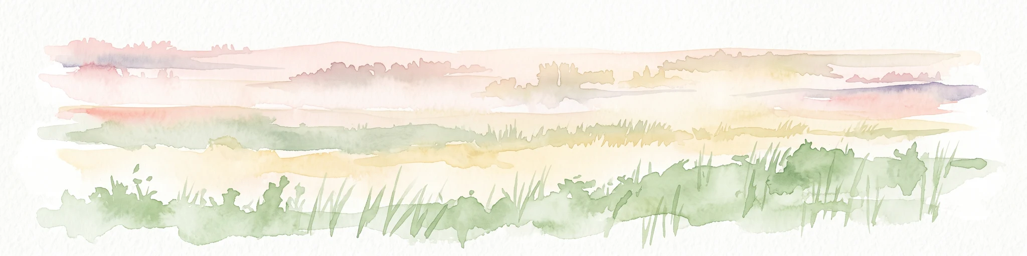
A horizontal watercolor painting depicting a soft-focus prairie landscape with grasses and rolling hills.
Wildlife reserveAlberta
About 719 km away#14 closest

South

Spiers Lake National Wildlife Area: Mapping Native Grasslands in Central Alberta

A federally managed reserve for rare prairie flora and bird populations.

Located in the County of Stettler, Spiers Lake National Wildlife Area protects one of the remaining fragments of native fescue prairie in Alberta. The reserve provides essential habitat for rare plants and grassland birds, offering a focused look at the original prairie matrix before agricultural conversion. It is a key example of Canadian federal conservation policy preserving vanishing grassland biodiversity.

Area
0.64 km²
Established
1982
IUCN
Ia
Scope
Terrestrial
State or regional parkBritish Columbia
735 km away#15 closest

West

Graham-Laurier Provincial Park: Protected Boreal Landscape and Geographic Context

Remote wilderness exploration in the Peace River region

Graham-Laurier Provincial Park represents a massive, intact wilderness area in northeastern British Columbia. Defined by boreal forests, undulating ridges, and the cascading waters of Christina Falls, this region serves as a crucial natural refuge within the Muskwa-Kechika Management Area. Access is centered on rugged forest service roads and backcountry trails, making the area a primary destination for self-reliant exploration and terrain study.

Area
999.82 km²
Established
1999
IUCN
II
Relief
Mountain
State or regional parkBritish Columbia
743 km away#16 closest

West

Redfern-Keily Provincial Park: A Deep Dive into Muskwa Ranges Protected Geography

Remote Glacial Landscapes and Northern Wilderness Terrain

Redfern-Keily Provincial Park encompasses a significant stretch of remote wilderness in the Muskwa Ranges of northeastern British Columbia. Anchored by the eight-kilometer Redfern Lake and surrounding glaciers like the Ithaca and Achaean, the area serves as a primary example of intact boreal and subalpine geography. The terrain offers a rugged look at high-elevation ecosystems and glacial history within the Muskwa-Kechika Management Area.

Area
807.12 km²
Established
1999
IUCN
II
Relief
Mountain
Protected areaSutherland
744 km away#17 closest

Southeast

Zugvogelschutzgebiet Sutherland: Regional Geography and Protected Area Context

Historic migratory bird habitat in the Saskatchewan prairie landscape

The Zugvogelschutzgebiet Sutherland protected area serves as an important migratory refuge on the Canadian Prairies. While the site integrates diverse land uses including a zoo and research facilities, its remaining native grasslands continue to provide essential feeding and resting grounds for geese, swans, and ducks. This analysis maps the sanctuary within its broader regional context.

Area
1.3 km²
Established
1924
Relief
Lowland
Climate
Temperate
Wildlife reserveSaskatchewan
About 753 km away#18 closest

Southeast

St. Denis National Wildlife Area: Geographic Profile and Protected Prairie Landscape

A research-focused wildlife reserve in central Saskatchewan.

St. Denis National Wildlife Area represents a critical nexus for prairie ecology, defined by its dense network of shallow ponds and native grassland communities. As a dual-designated National Wildlife and Research Area, this site offers a clear window into the delicate balance of wetland habitats, saline soil conditions, and agricultural landscape integration across Saskatchewan.

Area
3.6 km²
Established
1967
IUCN
IV
National parkNorthwest Territories
759 km away#19 closest

Northwest

Nahanni National Park Reserve National Park: Protected Landscape and Geographic Mapping

Explore the mapped terrain and protected area boundaries in Northwest Territories.

Navigate the protected landscape of Nahanni National Park Reserve, a designated national park within the Northwest Territories. This entry provides detailed insight into the park's mapped geographic boundaries and its role as a significant protected area. Understanding its place within the regional atlas allows for a deeper appreciation of its natural terrain and conservation significance, offering factual context for geographic exploration.

Area
30,050 km²
Established
1972
IUCN
II
Visitors
1.1K annual
Wildlife reserveSaskatchewan
About 761 km away#20 closest

Southeast

Raven Island National Wildlife Area: Geographic Overview and Protected Island Landscape

Essential conservation geography within Saskatchewan

Located in the saline prairie basins of central Saskatchewan, Raven Island National Wildlife Area is a 112-hectare protected habitat. This site plays a strategic role in the Lenore Lake migratory bird complex, preserving crucial island breeding grounds within a gentle prairie landscape. Explore the physical boundaries and ecological context of this Canadian wildlife reserve.

Area
1.12 km²
Established
1982
IUCN
IV
Scope
Terrestrial
Distance methodology

Geographic measurements, not driving distances

How nearby park distances are calculated

Distances use park boundaries whenever the available geometry allows it. When one or both boundaries are missing, the mapped park locations provide a clearly labelled estimate. Every value represents straight-line geographic separation and does not use roads or routing.

Boundary distance

Calculated between the nearest points of both park boundaries.

Location-to-boundary estimate

Estimated from one mapped park location to the nearest boundary of the other park.

Mapped-location estimate

Estimated between the mapped locations of both parks.

MoriAtlas Explorer

Explore the Boreal Geography of Richardson Lake Migratory Bird Sanctuary

Examine the mapped boundaries and natural terrain of this significant Alberta wildlife reserve. Gain deeper insight into the protected landscape features and waterfowl staging habitats that define this crucial boreal sanctuary through MoriAtlas data.