Mori Atlas logo
Country parks

Discover the geographic distribution of Mongolia's protected lands and natural heritage.

Mongolia National Parks: Browse Protected Areas and Mapped Landscapes Across the Country

Embark on a geographic exploration of Mongolia by browsing its diverse national parks and protected areas. This atlas-focused list allows you to trace the mapped boundaries of protected landscapes, from vast steppes to mountain ranges, offering a clear view of conservation efforts across the nation. Understand the country's unique natural terrain and the extent of its preserved natural areas for comprehensive geographic discovery.

Related tags

landlocked countryeast asiasteppenomadic culturemongol empire

Trace the geographic spread of Mongolia's diverse conservation landscapes, from vast steppe ecosystems to high alpine mountain ranges.

Explore National Parks and Protected Areas Across Mongolia: Your Comprehensive Park List

Browse a complete index of Mongolia's national parks, nature reserves, and other protected areas, encompassing its vast steppe regions, desert landscapes, and significant mountain ranges. Uncover the distribution of conservation efforts across this unique East Asian country, providing valuable insights into its varied terrain and vital ecosystems for atlas-style discovery.

Showing 1 to 20 of 34 parks

Loading results
National parkKhövsgöl ProvinceMountain

Lake Khövsgöl National Park

Highland taiga and ancient freshwater basin in Khövsgöl Province

Analyze the complex geography of Lake Khövsgöl National Park, which protects a massive, ultraoligotrophic waterbody surrounded by the rugged Sayan Mountains. The area serves as a vital ecological transition zone, containing diverse alpine, forest, and aquatic terrains that form a central part of Mongolia's natural heritage.

2,760 km²AlpineRemote accessWater-dominated
Protected areaDornod Province

Buir Lake

Mapping the transboundary freshwater wetlands of Dornod Province

Buir Lake occupies a expansive depression in the eastern Mongolian steppe, characterized by its shallow seasonal hydrology and fringing marshlands. This protected area serves as a primary geographic feature within Dornod Province, linking regional steppe systems and migratory bird corridors. The site offers a clear look at the interplay between water and grassland in a unique transboundary setting.

2004Water-dominated
National parkUvs Province

Khyargas Lake National Park

A comprehensive look at saline and freshwater steppe ecosystems.

Khyargas Lake National Park, situated in Uvs Province, offers a rare glimpse into the saline and freshwater lake systems of the Mongolian steppe. This protected area encompasses an endorheic basin characterized by its wide, open shoreline and unique ecological contrast. Use our atlas to analyze the mapped terrain and the expansive, undisturbed wetlands that define this notable region of western Mongolia.

3,328 km²2000AridAccess unknown
National parkÖmnögovi ProvinceMountain

Gobi Gurvansaikhan National Park

Mapped terrain and regional geography of this Mongolian protected area.

Navigate the atlas-focused details of Gobi Gurvansaikhan National Park, a key protected area situated in Ömnögovi Province. This entry provides essential geographic context, detailing the park's mapped boundaries and its role within the regional landscape. Understand the distinct terrain and environmental geography that define this Mongolian national park, offering a structured foundation for atlas-based discovery and learning about conservation landscapes.

27,000 km²1993AridModerate access
National parkTöv Province

Gorkhi-Terelj National Park

Explore the geographic context and park boundaries.

Gorkhi-Terelj National Park is a designated national park offering rich opportunities for geographic exploration and protected landscape discovery. This entity page provides detailed insights into its mapped boundaries and its position within the regional geography of Töv Province. Understand the specific landform and terrain characteristics that define this protected natural area, central to understanding Mongolia's conservation landscapes.

2,920 km²1993BorealModerate access
National parkArkhangai ProvinceMountain

Khorgo-Terkhiin Tsagaan Nuur National Park

A protected highland landscape in Arkhangai Province

Explore the distinct physical geography of Khorgo-Terkhiin Tsagaan Nuur National Park, where the extinct Khorgo volcano borders a vast freshwater lake. This protected area offers a look at the mosaic of birch forest and alpine slopes within the Khangai range. The mapping of this central Mongolian site reveals how volcanic activity and mountain hydrology converge to shape its unique natural horizon.

AlpineWater-dominated
National parkZavkhan ProvinceMountain

Tarvagatai Nuruu National Park

Unique steppe-to-forest transition and mountainous terrain.

Tarvagatai Nuruu National Park represents a critical protected area within Mongolia's Zavkhan Province, noted for its expansive mountainous terrain and significant ecological diversity. The park's landscape is defined by the Tarvagatai Range, featuring flat-topped ridges, glacial valleys, and dramatic elevation changes. It masterfully showcases the transition from semi-arid steppe to dense coniferous forests, highlighting a visually striking ecological boundary anchored by the prominence of Mount Otgontenger, the highest peak in the Khangai Mountains.

5,467 km²2000BorealRemote access
National parkBayan-Ölgii ProvinceMountain

Altai Tavan Bogd National Park

Explore mapped geography and protected terrain.

Altai Tavan Bogd National Park, situated in Mongolia's Bayan-Ölgii Province, offers a detailed view of a significant protected natural area. This park is defined by its mountainous geography, forming a key part of the Altai range. Users can explore its mapped boundaries and understand its role as a protected landscape within the western Mongolian atlas.

6,362 km²1996IIMinor water
Protected areaUvs Province

Airag Lake

Hydrological features within the Uvs Province regional landscape

Airag Lake serves as a critical freshwater habitat in the Uvs Province of western Mongolia. This detailed overview covers the lake's shallow basin, its seasonal thermal patterns, and the outflow canal connecting it to the broader Great Lakes Depression system, providing an essential look at this unique steppe wetland environment.

143.3 km²1999
Nature reserveDornod Province

Mongol Daguur

Protected landscape boundaries within Dornod Province

An authoritative overview of the Mongol Daguur protected area, focusing on its role as a core element of the Daurian landscape. Discover the spatial distribution of its steppe habitats, wetland systems, and mountain-grassland terrain that define this eastern Mongolian region.

156 km²1998TemperateRemote access
Biosphere reserveUlaanbaatarMountain

Bogd Khan Uul Biosphere Reserve

Highland ecosystems and forest steppe in the Khentii Mountains.

Rising directly south of Ulaanbaatar, Bogd Khan Uul Biosphere Reserve protects a compact mosaic of habitats including larch forests, Siberian pine stands, and alpine rock. The reserve serves as a critical geographic marker, illustrating the rapid shift from urban fringes to subalpine wilderness while maintaining a history of sacred environmental protection that informs its current status as a biosphere reserve.

673 km²1996BorealMinor water
National parkKhentii ProvinceMountain

Onon-Balj National Park

Explore unique geography and diverse ecosystems at a steppe-forest transition.

Onon-Balj National Park safeguards a critical river valley area in Khentii Province, Mongolia, marking an important ecological transition zone between Siberian forests and the Daurian steppe. Discover the park's mapped landscape, characterized by mid-sized mountains and riparian habitats along the Onon and Balj rivers. This protected area offers insights into regional geography, biodiversity, and the unique natural heritage of northern Mongolia.

4,158 km²2000AridRemote access
National parkTöv ProvinceMountain

Hustai National Park

Steppe, mountain, and riverine ecosystem mapping

Hustai National Park serves as a landmark conservation site in Töv Province, protecting a distinct gradient between the Khustai mountain ridges and the surrounding Mongolian plains. The area is defined by its role in steppe ecology, featuring varied slopes, riverine woodlands, and expansive grasslands that support a unique assembly of wildlife within the broader central Mongolian region.

506 km²2003IIMinor water
National parkMongoliaMountain

Khorgo-Terkhiin Tsagaan Nuur National Park

Mapping volcanic terrain and migratory bird habitats in the Khangai Mountains.

This protected area features the dramatic remnants of the Taryatu-Chulutu volcanic field, centered on the extinct Khorgo volcano and the deep waters of Terkhiin Tsagaan Lake. The park provides an essential refuge for avian populations in its western marshlands, contrasting with the surrounding forest steppe. Explore the unique topography and ecological boundaries of this significant Mongolian conservation landscape.

8 km²1965AridII
Protected areaArkhangai Province

Ögii Lake

Freshwater basin and wetland geography in Arkhangai Province

Ögii Lake represents a pivotal protected landscape in central Mongolia, defined by its 25 square kilometer surface area and gentle, shallow underwater topography. This site functions as an ecological nexus for migratory waterbirds and is essential for understanding the transition between open grassland and the mountainous terrain of the Khangai region.

25.7 km²2006Access unknownWater-dominated
Protected areaBayankhongor Province

Valley of the Lakes

A vast depression defined by saline lake chains and arid steppe ecosystems.

Stretching between the Khangai and Gobi-Altai mountain systems, the Valley of the Lakes features a complex mosaic of solonchak soils, takir flats, and barchan sand dunes. This protected area is recognized for its internationally significant wetland habitats and its role as a key geographic link in the Central Asian migratory flyway.

456 km²1998Water-dominated
Wildlife reserveKhentii ProvinceMountain

Khan Khentii Strictly Protected Area

Eastern Mongolia wilderness and Khentii mountain terrain

Explore the expansive reaches of Khan Khentii Strictly Protected Area, a cornerstone of Mongolian conservation. This reserve shields intact taiga forests, river valley habitats, and the historic Burkhan Khaldun mountain from industrial activity, preserving one of the most significant mountain wilderness regions in the province of Khentii.

12,270 km²1992BorealRemote access
National parkBayan-Ölgii ProvinceMountain

Tsambagarav Uul National Park

Explore its geographic context and park boundaries.

Tsambagarav Uul National Park offers a detailed look at a significant protected landscape situated in Mongolia's western Bayan-Ölgii Province. This national park's boundaries are mapped to provide context within the broader Altai Mountains region. Users can explore the park's geographic setting, understanding its contribution to the protected natural areas of western Mongolia and its significance for regional landscape studies.

1,110 km²2000AlpineII
National parkMongoliaMountain

Khogno Khan National Park

Explore its mapped terrain and regional geographic context.

Khogno Khan National Park is a designated national park offering a specific focus for protected landscape discovery. Users can explore its geographic placement within Mongolia and understand its role as a mapped natural area. The park's identity as a protected territory provides critical context for those interested in the atlas of East Asian landscapes and regional geography, highlighting a distinct area for geographic study.

841 km²2003II
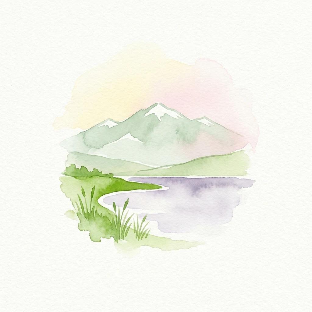
Watercolor painting showing a lake surrounded by mountains with snow-capped peaks
National parkMongoliaMountain

Har Us Nuur National Park

Explore the geography and atlas context of this national park.

Har Us Nuur National Park is a designated national park offering a unique protected landscape within Mongolia. This page provides context for exploring its geographic features, mapped boundaries, and its significance within the broader atlas of protected areas in East Asia. Understanding Har Us Nuur National Park contributes to a structured appreciation of Mongolia's natural terrains and regional conservation landscapes.

8,503 km²1997AridMajor water bodies
Other countries

Explore Broader East Asian and Central Asian Protected Landscapes, Tracing Geographic Connections Beyond Mongolia's Steppe

Discover Nearby Countries with National Parks and Protected Areas from Mongolia

Continue your national park exploration by browsing other countries in the broader East Asian and Central Asian regions, identifying their unique protected areas and conservation landscapes. Expanding beyond Mongolia provides valuable comparative geographic context for mapping diverse ecosystems and understanding regional park distribution across the MoriAtlas.

Russia: National Parks and Protected Areas Atlas for Geographic Exploration

Investigate Russia's extensive network of national parks and protected areas through a structured geographic lens. This atlas entry point allows for detailed exploration of mapped landscapes and conservation zones, highlighting their regional context and distribution across the vast Russian Federation. Understand the breadth of protected natural territories from a country-wide perspective, facilitating deeper geographic discovery.

111 parks

China National Parks and Protected Areas: Geographic Atlas Exploration

Access a structured overview of China's national parks and protected areas. This geographic atlas entry provides essential context for understanding the distribution and landscape features of protected natural areas throughout the country, supporting detailed map exploration and regional geographic research.

34 parks

South Korea National Parks and Protected Landscapes: Geographic Discovery

Delve into the protected lands of South Korea, understanding their geographic placement and ecological context. This section of the atlas provides a comprehensive view of national parks and conservation areas, enabling users to explore the country's natural terrain and landscape patterns. It serves as a gateway to understanding the nation's commitment to conservation through structured geographic data and map exploration.

21 parks

Explore Protected Natural Landscapes of Bangladesh: National Parks and Reserves

Navigate the geography of Bangladesh through its network of national parks and protected areas. This resource provides a structured approach to understanding the distribution of conservation landscapes, their mapped boundaries, and the regional context of their natural terrain. Discover the unique geographic features that define Bangladesh's protected lands, from the Sundarbans mangroves to the Chittagong Hill Tracts, offering a foundation for detailed exploration.

19 parks

National Parks and Protected Areas of Kyrgyzstan: Mapped Geographic Explorer

Access a structured geographic overview of Kyrgyzstan's national parks and protected areas. Understand the distribution of these vital conservation landscapes across the country's dramatic mountain terrain. This atlas-style resource helps you explore the natural boundaries and regional context of protected areas within Kyrgyzstan, offering a clear entry point for geographic discovery.

17 parks

Nepal National Parks and Protected Areas: Geographic Atlas Overview

Access a structured atlas of Nepal's national parks and protected areas, focusing on their geographic scope and distribution. This resource facilitates understanding the country's varied natural terrain, from alpine ecosystems to mountainous protected areas. Discover the mapped boundaries of conservation landscapes, providing a clear geographic context for each protected region within Nepal.

12 parks

Bhutan's National Parks and Protected Areas: Mapped Geographic Overview

Bhutan's commitment to conservation is reflected in its network of national parks and protected areas, nestled within the dramatic Himalayan geography. This destination offers an atlas-style view of these significant natural landscapes, highlighting their geographic distribution and mapped boundaries. Users can navigate this structured data to understand the regional context of protected lands across the Kingdom of Bhutan.

11 parks

North Korea's National Parks and Protected Areas: A Geographic Atlas Exploration

Navigate the protected natural areas of North Korea using a geography-focused atlas. This exploration tool highlights the geographic distribution of national parks and other protected lands, providing mapped context for their location and regional significance. Understand the natural terrain and landscape features that characterize these important conservation areas within East Asia.

1 park

Protected area types

Continue Exploring Mongolia's Protected Area Classifications and Landscapes

Deepen your understanding of Mongolia's conservation efforts by continuing to explore its specific park designation groups. This route offers a structured pathway to compare and contrast the geographic characteristics and mapped extents of various national parks and protected lands, revealing the nuances of protected area management across the nation's vast steppe and mountain ecosystems.

Mongolia Protected Area Designations
MoriAtlas Explorer

Continue Searching Mongolia's Protected Areas and Natural Landscapes

Advance your exploration of Mongolia's protected areas by continuing to refine your search. Understand the nuances of park geography, environmental characteristics, and regional distribution. This focused approach to comparing protected lands across the country provides a structured pathway to discovering detailed information about Mongolia's natural landscapes and conservation initiatives.

Global natural geography