Mori Atlas logo
Heath95 represented parks17 countries

Analyzing the vegetation patterns, soil dynamics, and wildlife roles across diverse heathlands

Heath Habitat in National Parks and Protected Areas: Ecological Processes and Global Distribution

Heath habitat exists as an open, dwarf-shrub ecosystem defined by acidic, nutrient-poor soils and specific climate conditions. Across national parks worldwide, these settings provide essential niches for ground-nesting birds, specialized pollinators, and diverse insects. Understanding these habitats requires examining the complex interactions between physical landscape constraints, such as fire and wind, and the living communities that inhabit them.

Related tags

heath habitatshrublandpark habitatsprotected ecosystems
Habitat setting

How acidic podzols, oceanic climates, and water dynamics shape dwarf-shrub ecosystems

Environmental conditions of heath habitat in national parks and protected areas

Heath habitat in national parks and protected areas is an open dwarf-shrub ecosystem defined by acidic, nutrient-poor soils in cool, windy, or seasonally dry climates. Hydrological fluctuations and acidic podzols limit taller forest growth, allowing specialized low-growing communities and unique wildlife to thrive in open landscapes.

Habitat definition

Heath habitat is open dwarf-shrub habitat on acidic nutrient-poor soils in cool, wet, windy, or seasonally dry settings. The category describes a broad ecological pattern, so local examples may contain several communities and transitional zones.

The boundary can move over time as fire, flooding, grazing, succession, erosion, or climate alters the balance among vegetation types. It can also be gradual, creating ecotones with characteristics of shrubland, peatland, alpine meadow. These dynamic edges should not be mistaken for poor-quality or incomplete habitat.

A consistent definition also prevents broad scenery terms from being mistaken for evidence that the habitat occupies an entire park.


Climate relationship

Often oceanic or montane climates with cool temperatures, wind, and variable seasonal moisture. Climate controls productivity, water availability, disturbance, and the timing of biological activity.

The habitat can also influence its own microclimate by changing shade, humidity, wind, snow retention, evaporation, and soil temperature. Loss of canopy, peat, surface water, or ground cover may therefore amplify climatic stress. These feedbacks connect the habitat pages directly with the climate-zone pages without making them interchangeable.

Local refuges may buffer short-term extremes, but sustained changes in temperature or moisture can eventually exceed that protective capacity.

Soils and hydrology

Common physical conditions include acidic podzols, peat patches, wet flushes, shallow rocky soils, and low nutrient availability. These conditions influence rooting, nutrients, water storage, and habitat boundaries.

Hydrological connections may extend far beyond the habitat boundary through aquifers, upstream channels, floodplains, snowfields, tides, or catchments. Drainage or pollution outside a protected site can therefore alter water quantity and chemistry inside it. Effective interpretation should make those connections explicit.

Changes to drainage, sediment, groundwater, or soil disturbance can therefore transform the habitat even before vegetation loss becomes visually obvious.

Ecological community

How periodic fire, grazing, and waterlogging maintain niches in open dwarf-shrub communities.

Ecology and Ecosystem Function of Heath Habitat in National Parks and Protected Areas

Core ecological processes like wind exposure, low soil fertility, and recurrent disturbances prevent forest encroachment and sustain vital patch mosaics. Seasonal cycles of flowering, frost, and nesting directly influence wildlife movements and drive structural variations within the plant community.

Ecological processes

Key ecological processes include fire, grazing, waterlogging, wind, and low fertility prevent closed forest and maintain patch mosaics. Their relative importance changes with geography, disturbance history, and landscape connectivity.

Ecological function operates beyond the mapped patch. Animals move to neighboring feeding or breeding areas, water and sediment arrive from the catchment, and seeds or larvae disperse across boundaries. Fragmentation can therefore weaken the habitat even when a central remnant still appears structurally intact.

The balance among productivity, decomposition, competition, predation, and disturbance determines whether the habitat persists, shifts, or fragments.

Vegetation structure

Typical vegetation includes heathers, dwarf shrubs, gorse, sedges, grasses, mosses, lichens, and scattered low trees. Plant structure varies with moisture, soils, elevation, disturbance, and succession.

Plant communities reveal environmental gradients. Changes in canopy, leaf form, rooting depth, growth season, or ground cover can indicate moisture, exposure, salinity, cold, fire history, and soil fertility. These patterns help distinguish the habitat from related types even where their boundaries overlap.

Structure is as important as species identity because canopy layers, ground cover, and patchiness shape microclimate and available wildlife niches.

Wildlife relationships

Characteristic wildlife may include ground-nesting birds, reptiles, small mammals, deer, pollinators, and specialized insects. Individual parks support different species, but similar ecological roles recur across the habitat.

Functional roles provide a better global comparison than fixed species names. Grazers, browsers, predators, scavengers, pollinators, seed dispersers, burrowers, ecosystem engineers, and decomposers can shape the habitat in parallel ways across different continents, even when the species involved are unrelated.

Resident, migratory, and seasonally visiting species may rely on different parts of the habitat, so a single species list cannot describe its full value.

Seasonal dynamics

Flowering, nesting, controlled or wild fire, grazing, frost, and waterlogging shape the yearly pattern. These changes affect food, cover, breeding, migration, fire, and visibility.

The exact calendar varies among regions and years. Terms such as wet season, spring, freeze-up, or fire season describe recurring phases rather than fixed dates. Park pages should explain the sequence and ecological consequences without presenting it as a current forecast or visitor schedule.

These cycles affect detectability as well as ecology: the same habitat may appear sparse, flooded, dormant, or exceptionally productive at different times.

Conservation and global context

Assessing cumulative landscape pressures and adaptive management in low-nutrient reserves

Heath habitat in national parks and protected areas: global conservation and management

Low-shrub heath ecosystems provide critical transitions between forests and wetlands while supporting highly specialized species adapted to nutrient-poor soils. Ecological management often focuses on balancing natural disturbances like grazing and fire while mitigating cumulative human pressures across fragmented protected areas.

Ecological importance

Heaths support specialized plants and birds and form transitions among forest, peatland, coast, and alpine zones. Its value depends on intact processes and connections with neighboring habitats.

The habitat’s value also depends on scale and condition. A small patch may protect a spring, breeding colony, migration stop, or endemic plant, while broad connected examples support landscape-scale movement and disturbance. Both roles can be significant for different conservation objectives.

Its significance should be evaluated through these functions and landscape connections rather than through area or species richness alone.

Threats and pressures

Important pressures include abandonment, excessive burning, invasive trees, drainage, nutrient deposition, and recreation pressure. Their severity varies by region and should not be assumed to be equal in every park.

Not every visible change represents degradation, because succession, erosion, flooding, grazing, fire, and species movement may be natural. The critical question is whether the frequency, intensity, source, or spatial pattern has moved outside the range that sustains native ecological function.

Pressures can reinforce one another, making cumulative effects more consequential than any single threat considered in isolation.

Conservation approaches

Common approaches include maintaining varied-age vegetation, appropriate grazing and fire, wet areas, and open-ground connectivity. Management works best when it addresses both the habitat patch and the wider landscape processes that sustain it.

Monitoring works best when it combines vegetation, wildlife, soils, hydrology, disturbance, and landscape connectivity. A single indicator can miss change elsewhere in the system. Reference sites, repeated surveys, remote sensing, and local ecological knowledge can provide complementary evidence.

Management outcomes should be measured through ecological condition and recovery, not merely the number of interventions completed.

Recognizing the habitat in parks

Visitors recognize low shrub mosaics, seasonal flowers, exposed ridges, boggy hollows, and wide views. These observable patterns help connect the habitat's appearance with its ecology.

The habitat may be experienced differently from a viewpoint, trail edge, water margin, canopy opening, or seasonal photograph. Each perspective emphasizes certain processes and hides others. Combining close observation with map-scale context gives a more accurate picture of extent and connectivity.

Responsible interpretation should help visitors recognize habitat structure and sensitivity without implying guaranteed wildlife sightings or unrestricted access.

Global distribution

The habitat occurs across Atlantic Europe, mountain regions, southern Africa, Australia, and other cool or nutrient-poor landscapes. Regional forms differ in species composition while sharing broad ecological structure.

Regional expressions differ in dominant species and evolutionary history. Similar structure can occur on different continents because organisms respond to comparable constraints, a form of ecological convergence. The global page should compare those shared functions without implying that the communities are replaceable.

Protected examples are unevenly documented, so distribution summaries should distinguish ecological range from the current contents of the park database.

Global park examples

Representative examples include Dartmoor, New Forest, and Cairngorms national parks. They illustrate geographic variety rather than a complete ranking of habitat sites.

Named parks should link to records whose habitat data supports the association. As coverage improves, examples can be selected across continents and protection designations, avoiding a list dominated only by famous destinations. Inclusion is illustrative, not a claim of global superiority.

Examples should remain geographically balanced and be treated as illustrative evidence, not as a ranking of the world's most important sites.

Representative parks

Compare open dwarf shrub ecosystems across different climates, terrains, and regional landforms

Exploring National Parks with Heath Habitat in National Parks and Protected Areas

Global ecosystem datasets connect major protected landscapes to acidic heath dwarf shrub habitats using regional botanical and climatic records. Individual park profiles clarify how these sensitive communities often persist as transitional borders, seasonal zones, or localized patches rather than uniform coverage.
National parkTennesseeMountain

Great Smoky Mountains National Park

Tennessee's premier national park, mapped for landscape discovery.

Delve into the protected area identity of Great Smoky Mountains National Park, a significant natural landmark within Tennessee. This page provides detailed context on its mountainous terrain, mapped ecological zones, and its foundational role in the broader geography of eastern North America. Understanding the park's specific protected landscape features and its geographic setting is essential for appreciating its unique conservation value.

2,114.15 km²1934TemperateEasy access
National parkUnited KingdomMountain

Peak District

Mapped boundaries and natural terrain context for this UK national park.

Investigate the Peak District National Park, a cornerstone of the United Kingdom's protected natural areas. This MoriAtlas entry provides essential details on its geographic scope, mapped boundaries, and landscape characteristics. Engage with structured data to understand how this national park fits into the atlas of the United Kingdom, supporting detailed geographic and protected-area discovery for researchers and explorers.

1,440 km²1951TemperateEasy access
National parkTasmania

Freycinet National Park

Mapped geography and distinct terrain of Tasmania's historic national park.

Freycinet National Park on Tasmania's east coast is a remarkable protected landscape defined by its dramatic granite mountains, including The Hazards, and the pristine Wineglass Bay. Established as one of Tasmania's first national parks, it showcases unique geological formations and coastal ecosystems across its rugged terrain. This detailed view provides an atlas-style exploration of its mapped boundaries and geographic significance within the regional context.

169 km²1916TemperateII
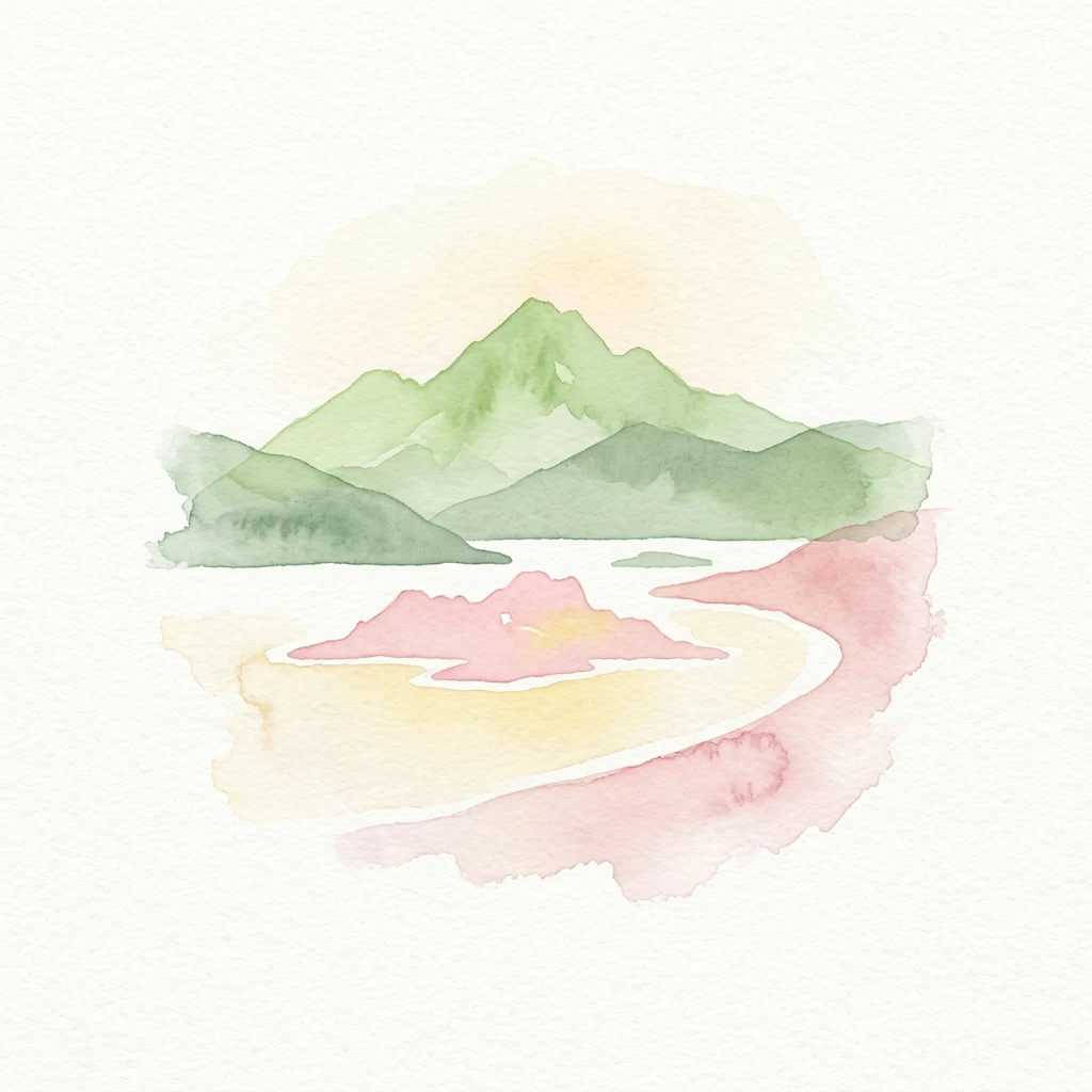
Watercolor painting of green mountains, a loch, and pinkish islands
National parkScotlandMountain

Loch Lomond and The Trossachs National Park

Mapping Scotland's Highland Boundary Fault and diverse natural terrain.

As Scotland's first national park, Loch Lomond and The Trossachs National Park offers a prime example of a protected landscape shaped by significant geological features. This atlas entry highlights its strategic location along the Highland Boundary Fault, which delineates distinct highland and lowland terrains. Users can explore the park's extensive network of lochs, including Loch Lomond, its mountainous Munros, and its native woodland ecosystems, providing a rich geographic context for discovery.

1,865 km²2002TemperateEasy access
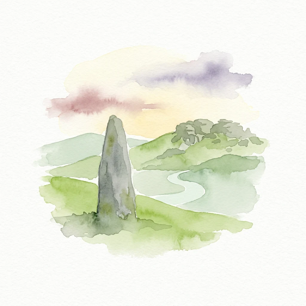
Watercolor illustration of a tall stone tor on a grassy hillside with a winding river, hills, and soft clouds in the sky
National parkDevonMountain

Dartmoor

Mapped protected area with significant Bronze Age remains.

Dartmoor National Park represents a distinctive granite upland in Devon, England, characterized by its dramatic tors and expansive moorland. This protected landscape is globally significant for its dense concentration of prehistoric archaeological sites, including stone circles, standing stones, and ancient settlements. Exploring Dartmoor offers a unique insight into Britain's regional geography, mapped terrain, and enduring connection to ancient human history.

954 km²1951TemperateModerate access
Watercolor illustration of a coastal scene with a sandy beach, rocky cliffs, and green hills under a bright sky
National parkNorth YorkshireMountain

North York Moors

Discover mapped moorland, dales, and coastlines.

The North York Moors National Park is a vital protected landscape in North Yorkshire, celebrated for its extensive heather moorland and distinctive deeply incised dales. This page provides an atlas-style exploration of the park's geography, highlighting its unique terrain, mapped boundaries, and its integral role within the regional landscape context. Understand the diverse natural features that define this iconic national park, from the upland plateau to the dramatic Jurassic coast.

1,430 km²1952TemperateModerate access
Watercolor illustration of Hadrian's Wall winding through green rolling hills with mountains in the background
National parkNorthumberlandMountain

Northumberland National Park

Explore its mapped boundaries, Roman heritage, and remote moorland terrain.

Northumberland National Park protects over 1,050 square kilometers of remote and stunning natural beauty in northern England, bordering Scotland. This page provides a structured overview of its protected landscape, focusing on its geographic context within the county of Northumberland, its designation as a National Park, and its renowned status as Europe's largest Dark Sky Park. Users can discover the park's characteristic moorland terrain, the archaeological significance of Hadrian's Wall, and the vast expanses of Kielder Forest, offering an atlas-level understanding of this unique frontier landscape.

1,050 km²1956TemperateModerate access
Watercolor illustration of a mountain range with a winding river and colored hills
National park

Exmoor National Park

Mapped terrain, moorland, and dramatic coastal geography.

Discover Exmoor National Park, a vast protected area in South West England celebrated for its sweeping heather moorland, dramatic coastline with the highest sea cliffs on mainland Britain, and deep, ancient wooded valleys. This national park offers a unique landscape for atlas-based exploration, revealing its distinct geography, mapped boundaries, and rich terrain shaped by centuries of natural processes and human activity.

692 km²1954TemperateModerate access
Watercolor illustration of a mountain landscape with green hills and a pink and yellow sky
National parkWalesMountain

Brecon Beacons National Park

Discover mapped terrain, park boundaries, and regional geography.

Brecon Beacons National Park, officially Bannau Brycheiniog, stands as a premier protected area within Wales, covering over 1,344 square kilometers of striking mountainous terrain. This national park is defined by its dramatic Old Red Sandstone ranges, including Pen y Fan, South Wales' highest peak, and features diverse landscapes from heather moorland to extensive river valleys. Its mapped boundaries encompass unique geological features, significant historical sites, and provide context for regional geographic exploration, making it a key destination for understanding protected lands in the UK.

1,344 km²1957TemperateModerate access
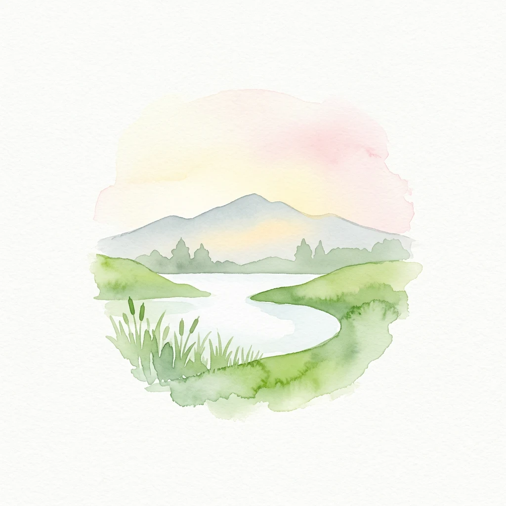
Watercolor illustration of a winding lake surrounded by green hills and distant mountains under a pastel sky
National parkEnglandMarine

New Forest National Park

Mapped heathland, ancient woodlands, and pastoral traditions.

Explore New Forest National Park, a nationally significant protected area in England renowned for its unique blend of ancient royal forest history, traditional pastoral practices, and biologically rich lowland habitats. This page provides an atlas-focused view of its mapped boundaries, distinctive terrain, and geographic context within England, highlighting its value as a living landscape shaped by centuries of common grazing rights and supporting rare wildlife.

566 km²2005TemperateEasy access
National parkBritish ColumbiaMountain

Kootenay National Park

Explore Kootenay National Park's mapped terrain and regional geography.

Kootenay National Park is a protected national park located in British Columbia, Canada. This dedicated detail page provides an atlas-style exploration of its geographic identity, focusing on its mapped boundaries and the surrounding natural terrain. Understand how Kootenay National Park fits into the larger regional geography, offering rich context for protected landscape discovery and analysis.

1,406 km²1920TemperateEasy access
National parkQueenslandMountain

Lamington National Park

Mapped protected landscape with over 500 waterfalls and unique cloud forests.

Lamington National Park stands as a key protected area within Queensland, recognized for its world-heritage status Gondwanan rainforests and striking volcanic geography. The park's landscape is characterized by its ancient Antarctic beech forests, a legacy of millions of years of volcanic activity that sculpted dramatic cliffs, plateaus, and deep valleys, punctuated by more than 500 waterfalls. Through its mapped boundaries and detailed geographic context, users can explore the exceptional biodiversity and unique terrain that defines this significant Australian national park.

206 km²1915SubtropicalEasy access
Related environmental topics

How soil acidity and moisture gradients shape transitions with neighboring communities.

Comparing Heath Habitat in National Parks and Protected Areas with Related Ecosystems

Comparing related habitats helps researchers and visitors understand how changing environmental controls alter vegetation patterns across protected landscapes. While shared conditions like poor soils or seasonal moisture create gradual ecotones with peatlands and shrublands, each distinct community maintains its own unique ecological role.

Shrubland

Shrubland is a recurring ecological setting across protected areas. Understanding its climate, vegetation, wildlife, soils, water, and seasonal dynamics helps explain why parks with the same habitat can still look and function differently.

333 represented parks

Peatland

Peatland is a recurring ecological setting across protected areas. Understanding its climate, vegetation, wildlife, soils, water, and seasonal dynamics helps explain why parks with the same habitat can still look and function differently.

103 represented parks

Alpine meadow

Alpine meadow is a recurring ecological setting across protected areas. Understanding its climate, vegetation, wildlife, soils, water, and seasonal dynamics helps explain why parks with the same habitat can still look and function differently.

316 represented parks

MoriAtlas Explorer

Continue Exploring Protected Area Ecosystems and Habitat Types

Deepen your understanding of worldwide park geography through the MoriAtlas ecological index. Compare how fire, flooding, and soil chemistry differentiate forest, wetland, and tundra habitats to better interpret the complex environmental architecture of protected regions.

Global natural geography