

Streams
Park geography
A detailed assessment of terrain, administrative regions, and karst landscape features
Geographic Profile and Mapped Boundaries of Aire and Candeeiros Ranges Natural Park
This geographic profile covers the boundaries and physical characteristics of Aire and Candeeiros Ranges Natural Park in Portugal. The data details a protected area spanning 383.93 square kilometers across the Santarem and Leiria districts, characterized by a complex karst terrain, elevation peaks reaching 679 meters, and numerous subterranean cave systems.
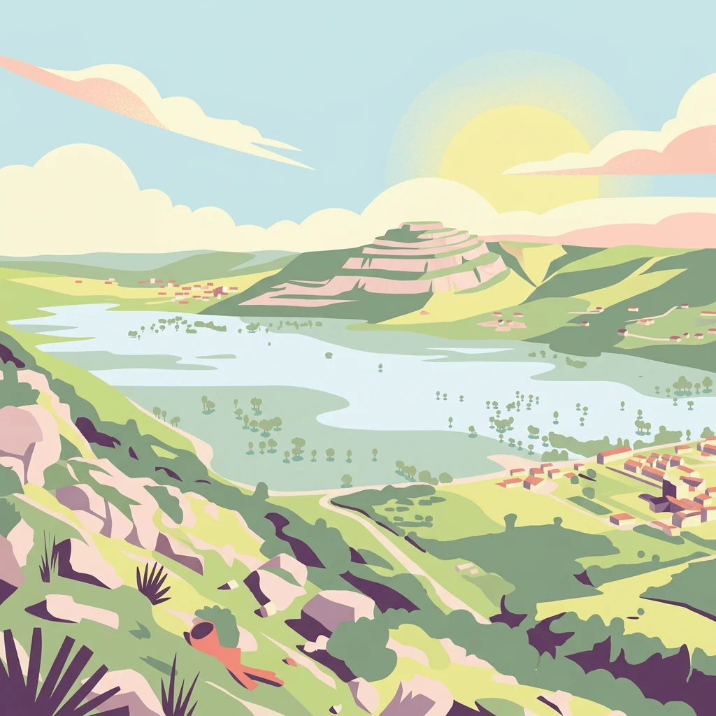
Portugal's premier karst landscape with ancient dinosaur tracks and underground cave systems
Aire and Candeeiros Ranges Natural Park
Aire and Candeeiros Ranges Natural Park is a protected landscape in central-western Portugal that encompasses one of the country's most important limestone regions. Located across the Leiria and Santarém districts, the park spans approximately 384 square kilometers and sits within the Estremadura Limestone Massif, a geological unit formed during the Mesozoic era and subsequently deformed by Alpine tectonic activity. The park is defined by its distinctive karst topography, characterized by underground caves, sinkholes, poljes, and an extensive network of subterranean water galleries that constitute one of Portugal's largest freshwater reservoirs. Designated as a protected area in 1979, the park preserves not only natural landscapes but also the architectonic and cultural heritage linked to local human populations who have inhabited these limestone plains for centuries.
- Location
- Portugal
- Park type
- Protected landscape
- Established
- 1979
- Area
- 383.9 km²
- Highest point
- 679 m
Location overview
Regional and National Placement in Santarém and Leiria
Geographic Location of Aire and Candeeiros Ranges Natural Park
Aire and Candeeiros Ranges Natural Park is located in Portugal across Santarém and Leiria Districts. Administrative data details its domestic, inland status with no coastal or transboundary boundaries.
- Countries
- Portugal
- Regions
- Leiria District, Santarém District
- Primary location
- Portugal
- Geographic setting
- Inland
Boundary and coordinates
Exploring the spatial limits and 383.93 square kilometer regional footprint
Geographic Boundary Map for Aire and Candeeiros Ranges Natural Park
Interactive boundary outlines provide spatial context for the protected landscape. Geographic datasets detail the 383.93 square kilometer area alongside calculated center coordinates and physical spans.
- Boundary area
- 383.4 km²
- Boundary perimeter
- 133.4 km
- Northernmost point
- 39.6196° N
- Southernmost point
- 39.3505° N
- Easternmost point
- 8.5817° W
- Westernmost point
- 8.9641° W
- Geographic centre
- 39.505° N, 8.8016° W
- North–south span
- 29.9 km
- East–west span
- 32.9 km
Elevation and terrain
Mixed relief profiles, peaks, and recorded cave networks
Aire and Candeeiros Ranges Natural Park Terrain and Elevation Geography
Recorded elevation data shows a peak height of 679 meters across mixed mountain terrain within the protected landscape. Associated feature cards outline internal streams, peaks, springs, and cave entrances with verified spatial relationships.
- Maximum elevation
- 679 m
- Highest point
- 679 m
Selected named natural features
Cave entrances
Semiduro de Chãos
Streams
Ribeira dos Amiais
Peaks
Junqueira
552 m
Geological formations
Praia Jurássica de São Bento
Cave entrances
Algar das Gralhas
Environmental setting
Mediterranean climate profiles, mixed relief, and karst terrain classifications
Environmental Setting and Landscape Classifications of Aire and Candeeiros Ranges Natural Park
Recorded habitat types, limestone formations, and relief classifications form complementary lenses for examining the physical setting of Aire and Candeeiros Ranges Natural Park. Connected data attributes link each environmental category directly to relevant atlas destinations across the protected landscape.
- Relief
- Mixed relief
- Climate
- Mediterranean
- Water
- Minor water
- Forest cover
- Sparse forest
- Seasonality
- Year-round
Landscape features
Mountains · Plateau · Cave · Karst · Valleys
Habitat types
Mediterranean forest · Shrubland · Wetland · Riverine habitat · Karst habitat
Park atlas
Compare the karst landscapes and diverse conservation areas surrounding Aire and Candeeiros, tracing Portugal's unique protected geography.
Explore Adjacent Protected Areas: Beyond Aire and Candeeiros Ranges Natural Park in Portugal
Continue exploring Portugal's protected areas after discovering Aire and Candeeiros Ranges Natural Park, browsing additional national parks and regional landscapes in central-western regions. Map the geographic distribution of distinct conservation zones, compare diverse protected terrains, and gain a broader understanding of Iberian Peninsula park systems.
Protected landscapeLisbon District
61 km away#1 closest
Southwest

Sintra-Cascais Natural Park: Mapped Protected Landscape in Lisbon District, Portugal
Explore Atlantic coast geography and historic palatial terrain.
The Sintra-Cascais Natural Park is a designated protected landscape in Portugal's Lisbon District, renowned for its fusion of natural beauty and historical architecture. This page offers an atlas-style exploration of its mapped boundaries, showcasing the unique Serra de Sintra mountain range meeting the Atlantic coast. Discover the protected area's geographic features, from its lush forested slopes crowned with iconic palaces to the dramatic cliffs and beaches of Cabo da Roca, providing essential context for understanding this distinctive Portuguese natural landscape.
- Area
- 144.51 km²
- Established
- 1981
- IUCN
- V
- Visitors
- 43.5K annual
Protected landscapePortugal
87 km away#2 closest
South
Arrábida Natural Park: Protected Landscape Atlas and Geographic Context in Portugal
Mapped boundaries of this key Portuguese protected area.
Arrábida Natural Park is presented here as a significant protected landscape, offering rich details for geographic exploration and atlas-based research. Users can investigate its specific mapped boundaries, understand its environmental setting within Portugal, and utilize this data for comparative analysis of protected areas. This resource focuses on the park's inherent geographic identity and its role as a defined natural landscape.
- Area
- 176.41 km²
- Established
- 1976
- IUCN
- V
- Visitors
- 23.1K annual
Protected landscapePortalegre District
88 km away#3 closest
East
Serra de São Mamede Natural Park: A Protected Landscape Defined by Ecological Transition
Explore the unique mountain terrain and ecosystems of Portalegre District.
Delve into the geographic and ecological identity of Serra de São Mamede Natural Park, a significant protected landscape situated in Portugal's Portalegre District. This area is renowned for its dramatic quartzite ridges and its role as a crucial meeting point for Atlantic and Mediterranean plant communities, offering a unique atlas perspective on regional biodiversity. Examining its mapped boundaries and diverse terrain provides essential context for understanding its ecological importance and its distinct position within the Alentejo region's geography.
- Area
- 560.6 km²
- Established
- 1989
- IUCN
- V
- Visitors
- 4.5K annual
Nature reservePortugal
103 km away#4 closest
Northeast
Serra da Estrela Natural Park: Glacial Terrain and Highest Peaks in Portugal
Explore the dramatic geography of this nature reserve.
Serra da Estrela Natural Park is a significant protected landscape in Portugal, celebrated for containing the nation's highest peak and exceptional Quaternary glacial formations. The park's terrain includes dramatic valleys carved by ice, numerous glacial lakes, and a stark alpine plateau around Torre. This nature reserve preserves a unique environment shaped by both geological history and traditional pastoralism, offering rich mapped context for understanding Portugal's mountainous geography and protected areas.
- Area
- 891.32 km²
- Established
- 1976
- IUCN
- V
- Visitors
- 7.6K annual
Protected landscapeAlentejo Litoral
159 km away#5 closest
South
Southwest Alentejo and Vicentine Coast Natural Park: A Protected Landscape in Alentejo Litoral
Explore its mapped boundaries and regional geographic context.
This detail page offers a deep dive into the Southwest Alentejo and Vicentine Coast Natural Park, a protected landscape situated in Portugal's Alentejo Litoral region. Understand the park's identity as a protected area through its geographic features and mapped extent. MoriAtlas facilitates a structured understanding of this natural landscape, enabling focused discovery of its protected boundaries and regional geographical significance.
- Area
- 895.7 km²
- Established
- 1988
- IUCN
- V
- Visitors
- 12.7K annual
Protected landscapeBeja District
193 km away#6 closest
Southeast
Guadiana Valley Natural Park: Protected Landscape Discovery in Beja District
Explore its mapped geography and protected land context.
Guadiana Valley Natural Park is identified as a protected landscape, providing a specific focus for geographic study and map-based exploration. This entry details the park's unique protected-area status and its contextual placement within the expansive Beja District of southern Portugal. Understand the mapped boundaries and landscape features that define this area, serving as a key point for regional geographic understanding on MoriAtlas.
- Area
- 697 km²
- Established
- 1995
- IUCN
- V
- Visitors
- 749 annual
Protected areaPortugal
205 km away#7 closest
North
Alvão Natural Park Protected Area: Atlas Exploration of Northern Portugal's Mountain Geography
Discover dramatic landscapes and mapped terrain.
Alvão Natural Park is a protected area in northern Portugal distinguished by its stark geological contrasts: upper granite plateaus and steep schist lowlands. This unique geography supports diverse ecosystems and features the impressive Fisgas de Ermelo waterfall. Explore the park's mapped boundaries and its role as a significant protected landscape within the region, offering rich context for any geographic exploration.
- Area
- 72.03 km²
- Established
- 1983
- IUCN
- V
- Visitors
- 29.6K annual
Protected landscapeEsposende
205 km away#8 closest
North
Northern Littoral Natural Park Protected Landscape: Geographic Discovery and Atlas Context
Mapped protected areas and regional landscape discovery near Esposende.
Uncover the geographic identity of Northern Littoral Natural Park, a key protected landscape situated near Esposende. This MoriAtlas entry focuses on its mapped boundaries and regional significance, providing a factual basis for understanding its role within Portugal's network of protected areas. Explore the park's natural terrain and its context within the broader geography of the Norte region for comprehensive atlas-based discovery.
- Area
- 87.62 km²
- Established
- 1987
- IUCN
- V
- Relief
- Lowland
MoriAtlas Explorer
Continue Exploring the Geography of Aire and Candeeiros Ranges Natural Park
Deepen your understanding of Aire and Candeeiros Ranges Natural Park by exploring its detailed geographic context and mapped protected landscape features. Our platform helps you navigate the specifics of this protected area, connect it with the wider regional geography of Portugal, and expand your atlas exploration. Discover how this natural landscape fits into the broader mosaic of protected areas for more informed geographic insight.
Browse next
Global natural geography
Explore related park routes
Explore MoriAtlas Global ParksBrowse All MoriAtlas ParksGlobal Park Map DiscoveryMoriAtlas: Browse All CountriesBrowse All MoriAtlas ContinentsNational Park Environment AtlasGrand Canyon National Park AtlasYellowstone National Park AtlasYosemite National Park Atlas and GeographySerengeti National Park AtlasGalápagos National Park Protected LandscapeBanff National Park Geography and AtlasKruger National Park Atlas EntryUluṟu-Kata Tjuṯa National Park AtlasExplore Uluru-Kata Tjuta National Park GeographyPlitvice Lakes National Park AtlasFiordland National Park Protected LandscapeGreat Smoky Mountains National Park AtlasAfghanistan National Parks and Protected AreasAlbania National Parks and Protected AreasAlgeria National Parks and Protected AreasAmerican Samoa National Parks and Protected AreasAndorra National Parks and Protected AreasAngola National Parks and Protected AreasAntarctica National Parks and Protected AreasAntigua and Barbuda Park List