
Por qué destaca Parque Nacional Troya Antigua
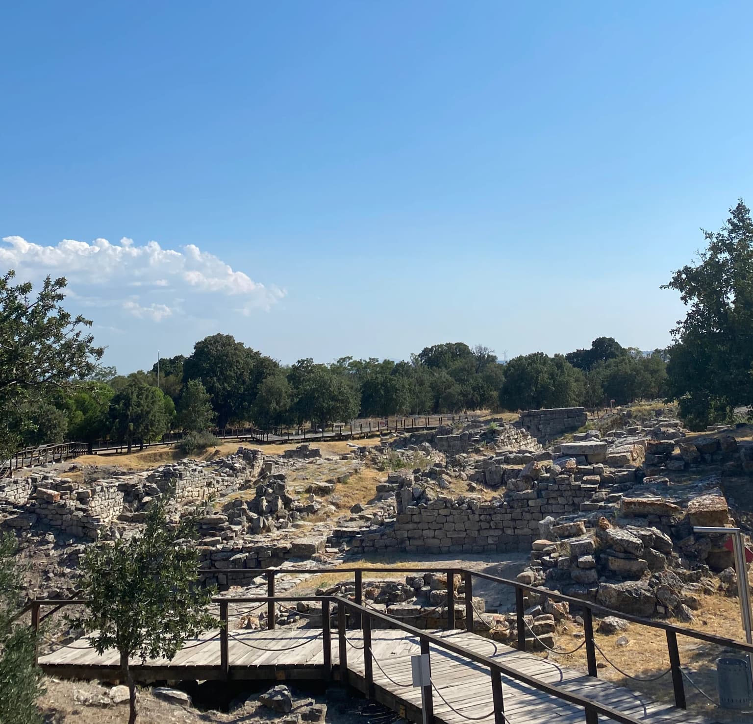
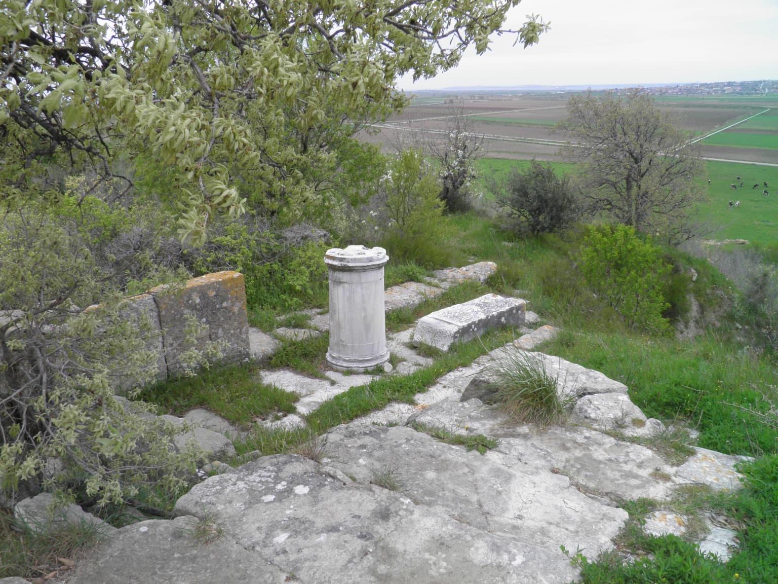
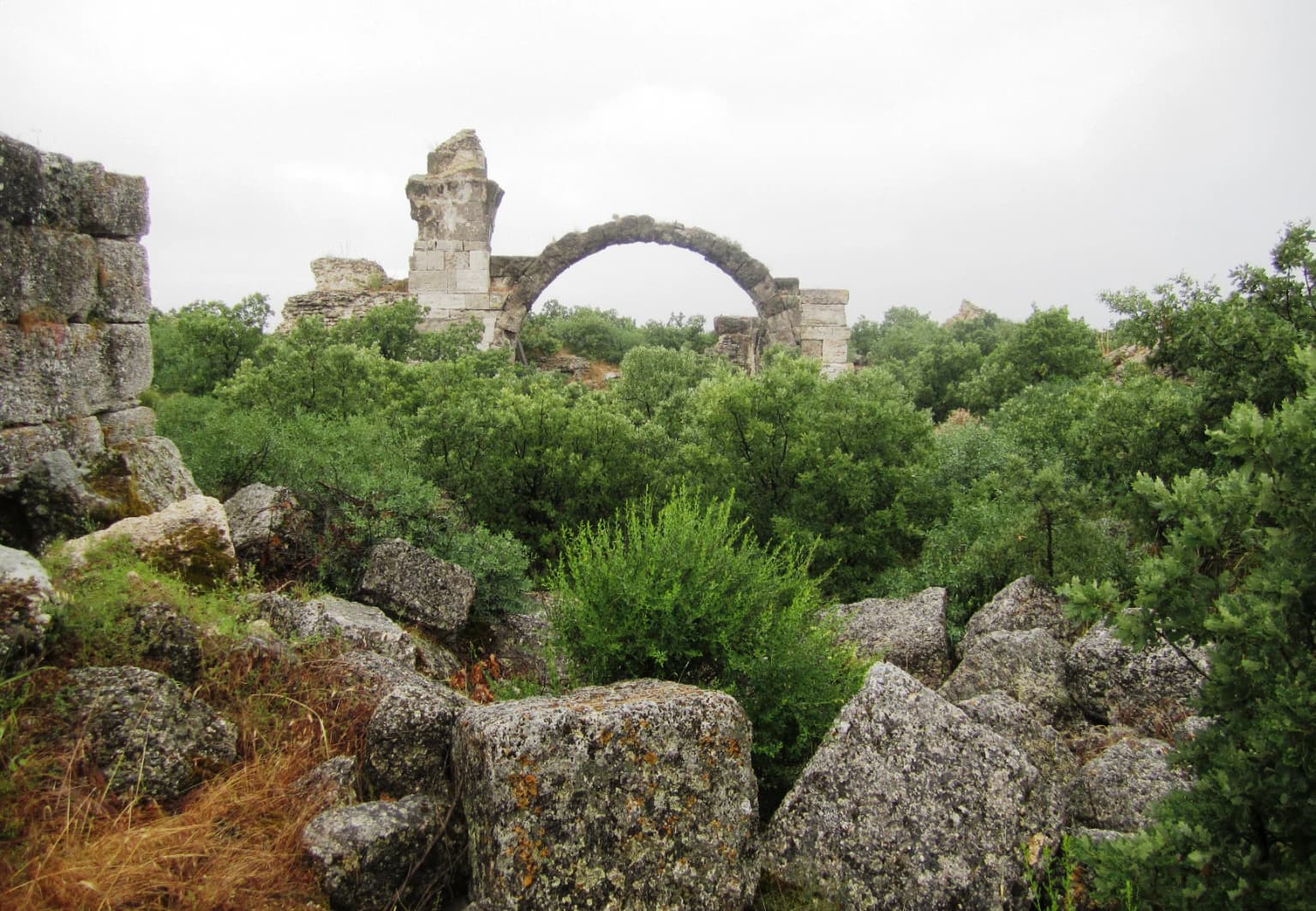
El parque es conocido principalmente por la legendaria ciudad de Troya, central en la mitología griega y en los poemas épicos de Homero. El sitio arqueológico contiene múltiples capas de asentamiento que datan de alrededor del 3000 a.C. al 400 d.C., con elementos bien conservados que incluyen las famosas murallas y puertas, el teatro, la calle principal (boulevar) y numerosas fundaciones de viviendas. El sitio adquirió fama adicional por las excavaciones de Heinrich Schliemann en el siglo XIX y trabajos arqueológicos posteriores que confirmaron la autenticidad histórica de la ubicación.

Historia de Parque Nacional Troya Antigua y cronología del área protegida
La historia de Troya como área protegida comienza con las primeras exploraciones arqueológicas en el siglo XIX. Las excavaciones de Heinrich Schliemann, iniciadas en 1871, revelaron la extraordinaria profundidad y complejidad del sitio, descubriendo múltiples capas de ciudadelas fortificadas. Excavaciones posteriores realizadas por diversos equipos, incluyendo las de Carl Blegen en la década de 1930 y el trabajo continuo de la Universidad de Cincinnati, han ido revelando progresivamente la extensión y la importancia del sitio. El área fue designada como parque nacional para proteger tanto los recursos arqueológicos como el paisaje cultural que contribuye a la comprensión del contexto de la antigua ciudad.
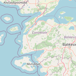
Paisaje y carácter geográfico de Parque Nacional Troya Antigua
El parque ocupa una posición estratégica en la cima de una colina con vistas a la llanura costera hacia los Dardanelos. El paisaje circundante se caracteriza por un terreno suave y ondulado con tierras agrícolas y vegetación mediterránea. El propio sitio arqueológico se encuentra en una eminencia defendible con restos de murallas de fortificación masivas, torres y puertas visibles en las áreas excavadas. El paisaje conserva elementos de su entorno histórico, aunque la actividad agrícola moderna y la infraestructura están presentes en la región circundante.
Ecosistemas, hábitats y flora de Parque Nacional Troya Antigua
Aunque es principalmente un sitio arqueológico, el entorno del parque incluye vegetación mediterránea típica y avifauna característica de la región costera del noroeste de Turquía. El paisaje agrícola circundante alberga diversas especies de aves y fauna pequeña. El contexto ecológico es secundario a la importancia arqueológica del sitio, pero contribuye a la experiencia general del visitante y a la diversidad ambiental del área protegida.
Vida silvestre y especies destacadas de Parque Nacional Troya Antigua
La fauna del parque y sus alrededores incluye especies de aves típicamente mediterráneas, pequeños mamíferos comunes en la región y, ocasionalmente, mamíferos de mayor tamaño en el campo circundante. El área no es conocida principalmente por la observación de fauna, y su importante valor de biodiversidad reside en los recursos arqueológicos y culturales más que en los sistemas ecológicos.