Northeast
Marojejy National Park
Mapped landscape context and regional protected area significance.
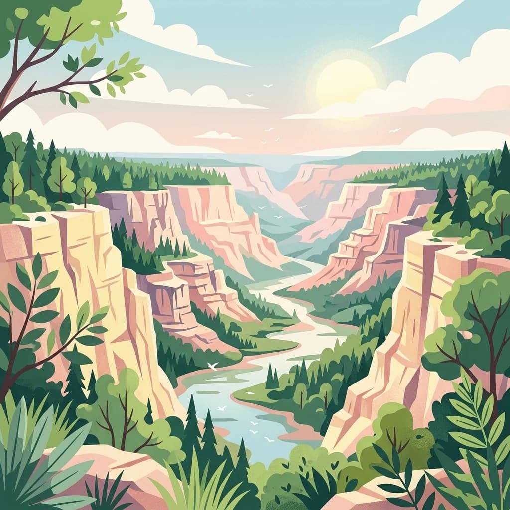
Marojejy National Park, in Madagascar. Landscapes: mountains, cliffs, and forests.
- Area
- 555 km²
- Established
- 1998
- IUCN
- II
- Relief
- Mountain
Mapping regional park proximity and surrounding wilderness landscapes in Madagascar
Discover the network of protected areas and forest reserves clustered near Réserve spéciale d'Anjanaharibe-Sud. This regional survey highlights the geographic relationships between nearby conservation sites within the mountainous terrain of the Sava region.
Related tags
About Anjanaharibe-Sud Special Reserve
Anjanaharibe-Sud Special Reserve is a protected area in northeastern Madagascar, located about 30 kilometers from the town of Andapa in the Sava region. Together with the neighboring Marojejy National Park, it forms one of only two protected areas where the silky sifaka (Propithecus candidus) still survives in the wild, giving the reserve exceptional importance for primate conservation. The landscape rises sharply from humid mid-elevation rainforest to high mountain terrain, with peaks reaching above 2,000 meters, sheltering a dense and largely intact forest ecosystem. The reserve is best understood as a forested mountain enclave within Madagascar's eastern rainforest belt. Its slopes are drained by tributaries of the Ankaibe River and remain covered in evergreen humid forest, providing a refuge for several of Madagascar's rarest lemur species, including the silky sifaka, the indri, and the aye-aye, along with a bird community of more than one hundred species. Created in 1958 and managed today by Madagascar National Parks, it stands as a small but ecologically critical component of the country's protected-area network.
See the ranked park cluster in its geographic setting
Geographic separation, direction, and recorded environmental context for regional park comparison

Northeast
Mapped landscape context and regional protected area significance.
Marojejy National Park, in Madagascar. Landscapes: mountains, cliffs, and forests.

Southeast
Discover the unique geographic features and rich biodiversity of this Sava Region national park.
Masoala National Park, in Sava Region, Madagascar. Landscapes: mountains, forests, and wetlands.
South
A vital protected landscape in the humid northeastern forest belt.
Makira Natural Park serves as a benchmark for integrated tropical conservation in Madagascar. Its humid evergreen forests provide a critical habitat for high lemur diversity and specialized botanical associations linked to unique geological substrates. This protected area connects to a larger regional landscape of community-managed forests, acting as a crucial buffer for the biodiversity of the northeastern coastal regions.

South
Coastal rainforests and protected lemur habitats in Antongil Bay.
Nosy Mangabe stands as a prominent protected island within the Ambatosoa region of Madagascar. The island is defined by its dense lowland rainforest, dramatic bay topography, and its essential role as a sanctuary for rare primates. This overview maps the park boundary and explores the terrain, historical maritime traces, and the connection between the island and the Masoala peninsula ecosystem.
Northwest
High-altitude geography in the Diana region of northern Madagascar
Spanning tens of thousands of hectares, the Réserve naturelle intégrale de Tsaratanana protects the highest mountain terrain in Madagascar. The landscape is defined by the crystalline Vohibory massif, creating a complex topography of deep valleys and dramatic elevation gradients that support endemic primate habitats and montane forest ecosystems.
Northwest
Examining the humid forest terrain and geographic boundaries of the Diana region
Located in the Diana region, Manongarivo Special Reserve serves as a critical protected area within the northern humid rainforest system of Madagascar. The territory is defined by steep forested hills, narrow river valleys, and diverse ecological niches. By analyzing its specific topographic markers and river systems, this entry details the natural landscape and protected status of this significant biodiversity reserve.
South
Mapping rugged terrain and endemic forest ecosystems in northeastern Madagascar.
Réserve spéciale d'Ambatovaky spans a challenging, topographically complex area of northeastern Madagascar. This wildlife reserve consists of an unbroken canopy of humid lowland and hill forests, providing a critical refuge for rare raptors and diverse primate communities within the Analanjirofo region's mountainous terrain.
South
Explore its mapped boundaries within Madagascar's diverse geography.
Mananara Nord National Park represents a vital protected landscape within Madagascar, offering users a direct entry point for exploring its specific geographic character. As a designated national park, it contributes significantly to the atlas of conservation lands on the island nation. This park provides a focused lens through which to examine regional geography and the mapped extent of protected natural areas, anchoring its identity within the broader context of Madagascar's unique ecological landscape.

Northwest
Mapped geography and regional park context in Madagascar.
Nosy Tanikely National Park is a designated national park in Madagascar, offering a focused entry point for understanding protected land geography. As a key entity within the island's conservation landscape, it provides valuable context for exploring mapped park boundaries and regional geographic features. Discover how this protected area contributes to the broader atlas of Madagascar's natural heritage.
Northwest
Explore mapped boundaries and regional park geography.
Lokobe National Park is a protected national park situated within Madagascar, an island country recognized globally for its exceptional biodiversity and unique ecosystems. This page offers a detailed, atlas-oriented perspective on Lokobe National Park, focusing on its designation as a protected area, its specific geographic location, and the natural landscape features that define its territory. Users can explore the park's mapped boundaries and understand its contribution to Madagascar's remarkable natural heritage.

North
Mapping the karst landscape, subterranean rivers, and cliff formations.
Examine the rugged topography of Ankarana Special Reserve, featuring a 25-kilometre-long cliff known as the Wall of Ankarana and 100 kilometres of mapped cave passages. This protected area offers deep insight into Madagascar's geological history and rare endemic lemur habitats within its dense, jagged tsingy ridges.
North
Northern Madagascar wilderness and dry forest topography
Navigate the rugged limestone corridors and canyon networks of Réserve spéciale d'Analamerana. This protected area showcases a distinctive dry forest landscape shaped by seasonal tropical climates and serves as a critical habitat for rare endemic species within the Diana region.
Northwest
Explore Madagascar's unique protected landscape and biodiversity hotspot
Sahamalaza National Park is a significant protected area in Madagascar, designated as both a National Park and an internationally important Ramsar Wetland. It protects vital transitional forest ecosystems and extensive coastal wetland habitats, offering a crucial refuge for critically endangered lemur species and migratory birds. The park's unique geography and ecological role provide rich context for understanding Madagascar's celebrated endemic biodiversity and conservation efforts through mapped landscape exploration.
Southwest
Ecological transition zone featuring humid and dry forest biomes
Tampoketsa Analamaitso Reserve provides a protected sanctuary for northern Madagascar's primate fauna, defined by its rare combination of humid mid-altitude and dense dry forest ecosystems. Managed for habitat conservation, the reserve remains a remote wilderness area with intact forest cover that stretches across the Sofia region. Its geographic importance lies in the ecological gradient that links distinct upland and lowland vegetation types, offering a comprehensive look at the island's diverse natural terrain.

North
Protected montane landscape in the Diana Region of northern Madagascar
Centered around the prominent Mount Ambohitra, this national park showcases a distinct volcanic basaltic massif that creates a dramatic contrast with the nearby semi-desert terrain. Explore the geographic footprint of this biodiversity hotspot, featuring dense montane rainforests, numerous crater lakes, and cascading mountain waterfalls within the northern territory of Madagascar.

North
Atlas exploration of national park boundaries and natural terrain.
Nosy Hara National Park is a designated national park situated within the Diana Region of Madagascar. This entry provides detailed geographic information, focusing on the park's mapped boundaries and its role as a protected landscape. Explore the unique regional geography and understand how this protected area contributes to the broader atlas of natural landscapes.

Southwest
Explore mapped boundaries and natural landscape context.
Ankarafantsika National Park serves as a key protected area for understanding the geography of Madagascar's Boeny Region. This canonical page offers a detailed atlas-style view, highlighting the park's mapped boundaries and its role as a distinct natural landscape. Engage with structured geographic data to comprehend the park's protected status and its contribution to the regional terrain, facilitating a deeper appreciation of protected lands.
South
Mapping the primary wetland basin of Madagascar's Alaotra-Mangoro region.
Lake Alaotra serves as a central protected landscape within the Alaotra-Mangoro region, featuring an extensive system of marshes, reedbeds, and freshwater zones. This profile offers a structured look at the lake's geography, its role as a critical wetland habitat, and the surrounding terrain that shapes this important Madagascar catchment area.
South
Mapping the central rainforest belt of the Alaotra-Mangoro region
Spanning over 3,800 square kilometers, the Ankeniheny-Zahamena Corridor stands as a cornerstone of Malagasy conservation. This reserve integrates diverse humid forest habitats into a single functioning landscape, providing a critical haven for endemic flora and threatened primates. Its role as a major watershed catchment reinforces its environmental importance for surrounding communities across eastern and western Madagascar.
Geographic measurements, not driving distances
Calculated between the nearest points of both park boundaries.
Estimated from one mapped park location to the nearest boundary of the other park.
Estimated between the mapped locations of both parks.
Begin your exploration of Réserve spéciale d'Anjanaharibe-Sud by analyzing its mountain ridges, forest coverage, and vital ecological boundaries. MoriAtlas provides the data necessary to understand this essential protected area and its role within the wider landscape of northeastern Madagascar.