Mori Atlas logo
Nearby park discovery

Mapping the geographic landscape and surrounding conservation areas in northern Luzon

Regional Protected Areas and National Parks Near Balbalasang-Balbalan National Park

Investigate the geographic network of protected lands surrounding Balbalasang-Balbalan National Park. This overview traces the topographic context and spatial distribution of nearby natural areas across the Cordillera Administrative Region. Use these map-based insights to understand how individual protected landscapes connect within the broader mountain geography of the northern Philippines.

Related tags

National ParkPine ForestsEndemic SpeciesImportant Bird AreaCordillera Central

The green heart of the Cordillera

Balbalasang, Balbalan National Park

Balbalasang–Balbalan National Park is a protected area in the Philippines located in the municipality of Balbalan, Kalinga province, within the Cordillera Administrative Region of northern Luzon. Established on June 17, 1972 under Republic Act No. 6463, the park covers approximately 1,338 hectares of mountainous terrain centered on Mount Balbalasang near the provincial border with Abra. The park is renowned as the green heart of the Cordillera, representing one of the most biologically diverse and ecologically intact regions in the Philippines. It encompasses two mountain ranges within the Cordillera Central, with numerous rivers and creeks draining toward the Saltan River. The landscape ranges from 700 meters elevation at Balbalan in the eastern portion to Mount Sapocoy, the highest peak at 2,456 meters. In 2022, the national park was merged with the Banao watershed to form the Banao Protected Landscape, expanding the conservation framework for this ecologically significant area.

Location
Philippines
Park type
National park
Established
1972
Area
13.4 km²
Highest point
2,456 m
Balbalasang–Balbalan National Park Atlas
Regional park map

See the ranked park cluster in its geographic setting

Nearby parks around Balbalasang, Balbalan National Park

This regional map shows the same 20 nearby parks ranked below around Balbalasang, Balbalan National Park. Select a ranked marker to highlight that park’s boundary where boundary data is available.
Reference park: Balbalasang, Balbalan National ParkRanked nearby park20 nearby parks shown
20 nearby parks

Explore surrounding protected landscapes and regional park geography by measured distance

Parks and Protected Areas Geographically Near Balbalasang–Balbalan National Park

Examine the ranked collection of nearby protected areas surrounding Balbalasang–Balbalan National Park using precise geographic separation and directional metrics. Review recorded environmental attributes and regional context to evaluate surrounding conservation patterns across the wider natural landscape.
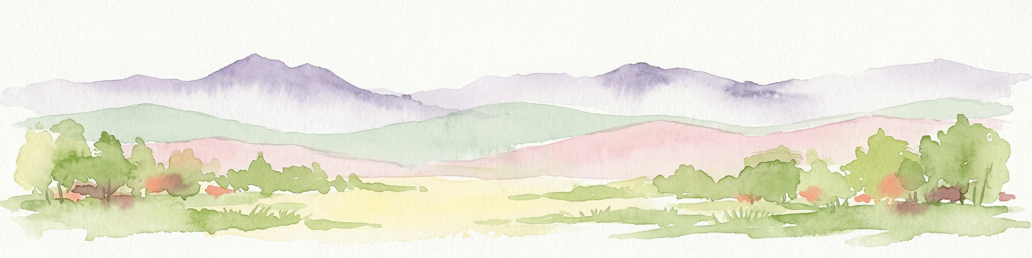
Watercolor painting of a landscape with rolling hills, trees, distant mountains, and small structures
National parkAbra
About 66 km away#1 closest

Northwest

Cassamata Hill National Park: Philippine National Park with Hilltop Views of Abra Valley

Mapped geography of the Abra River valley and surrounding mountain ranges.

Cassamata Hill National Park is a protected landscape in Abra, Philippines, notable for its summit viewpoints that capture the expansive Abra River valley and the imposing Cordillera Central and Ilocos mountain ranges. Visitors can explore the mapped terrain from this elevated vantage point, offering a comprehensive view of the regional geography, including the distinctive silhouette of Mount Banti Goolong, also known as the Sleeping Beauty. This national park provides crucial insight into the protected area's context within the broader Cordillera region.

Area
0.57 km²
Established
1974
IUCN
V
Relief
Upland
National parkMountain Province
About 71 km away#2 closest

Southwest

Mount Data National Park: A Protected Highland Watershed in the Mountain Province

Analyzing the topography and mapped forest boundaries of the Cordillera Central

Mount Data National Park serves as a vital protected area in the northern Philippines, anchoring the headwaters of the Agno, Abra, and Rio Chico river systems. This highland site offers a distinct look at the ridge-focused geography of the Cordillera Central, characterized by high-elevation terrain and a long-standing contribution to scientific research on Philippine mammal diversity.

Area
33.52 km²
Established
1936
Relief
Mountain
Scope
Terrestrial
National parkPhilippines
About 71 km away#3 closest

Southwest

Mount Data National Park: Protected Montane Watershed and Philippine Mountain Geography

High elevation forest terrain and regional watershed context.

Located in the Cordillera Central, Mount Data National Park represents a historic protected area of the Philippines. Its montane ecosystems, ranging from pine forests to mossy oak stands, sustain vital downstream river systems while supporting unique biodiversity. This atlas entry provides geographic insights into its steep ridges, forested slopes, and the broader environmental significance of its high-elevation terrain.

Area
55.13 km²
Established
1936
Relief
Mountain
Scope
Terrestrial
Protected landscapeIlocos Sur
About 72 km away#4 closest

Southwest

Santa Lucia Protected Landscape: Watershed Geography and Forest Reserve Maps in Ilocos Sur

A historic protected area in the Cordillera Central foothills.

Located in Ilocos Sur, the Santa Lucia Protected Landscape occupies a strategic position along the Buaya River catchment. This protected area maintains a long history of forest conservation, supporting the hydrological stability of the surrounding lowland communities while bridging the terrain between the upland Cordillera mountains and the coastal plains of the Ilocos region.

Area
1.742 km²
Established
2000
IUCN
V
Water
Major water bodies
National parkIlocos Sur
About 74 km away#5 closest

West

Northern Luzon Heroes Hill National Park: Coastal Mountain Geography and Protected Landscape Identity

Discover the mapped terrain and forest boundaries of this Philippine national park.

Northern Luzon Heroes Hill National Park offers a detailed look at a unique protected landscape in the Philippines' Ilocos Sur region. Its dramatic coastal mountain geography, characterized by steep forested slopes and ravines, stands apart from the typical flat terrain of the area. This national park serves as a significant mapped natural area, preserving vital forest cover and providing insights into the region's ecological context and landscape diversity.

Area
13.16 km²
Established
1963
IUCN
V
Relief
Mixed relief
National parkPhilippines
About 100 km away#6 closest

Southeast

Fuyot Springs National Park: Philippines Protected Area with Springs, Caves & Waterfalls

Explore Sierra Madre mountain terrain and natural landscape features.

Fuyot Springs National Park offers a detailed look at a unique protected landscape within the Philippines' Sierra Madre mountain range. This atlas perspective focuses on the park's defining natural springs, its exploration-ready cave systems such as Main Cave and Altar Cave, and scenic features like Pinzal Falls. Understand the geographic context of this protected area and its mountainous terrain for landscape discovery.

Area
8.19 km²
Established
1938
IUCN
V
Relief
Mountain
National parkNueva Vizcaya
About 116 km away#7 closest

South

Bangan Hill National Park: A Protected Landscape within Nueva Vizcaya's Geography

Explore its mapped terrain and cultural significance.

Bangan Hill National Park is a crucial protected area nestled in Nueva Vizcaya, Philippines. This page details its specific geography, including its role as a distinct hill within the broader Cagayan Valley landscape. Users can explore the park's mapped boundaries, understand its role as a national park, and discover the surrounding mountain context of the Caraballo and Cordillera Central ranges. It offers a unique perspective on the region's natural and historical significance, serving as a focal point for protected landscape exploration.

Area
0.139 km²
Established
1995
IUCN
II
Relief
Mixed relief
Protected landscapeBenguet
About 118 km away#8 closest

South

Upper Agno River Basin Resource Reserve: Mapping the Benguet Watershed Protected Landscape

High-elevation forest, river catchment, and Cordillera peaks

Spanning from the Mount Data area to the Binga Dam, this reserve serves as a pivotal hydropower catchment and mountain sanctuary. Explore the geographic extent of these pine-clad slopes, mossy dwarf forests, and high-altitude grasslands that define the southern Cordillera landscape.

Area
775.61 km²
Established
1966
IUCN
VI
Relief
Mountain
Protected landscapeQuirino
About 137 km away#9 closest

Southeast

Quirino Protected Landscape: Exploring the Sierra Madre and Cagayan River Watershed

Mountainous forest geography in the province of Quirino

Spanning roughly two thirds of the province of Quirino, this protected landscape is a strategic natural feature of northern Luzon. Defined by the confluence of the Sierra Madre and Caraballo mountain ranges, it serves as a massive reservoir for the Upper Cagayan River. The terrain consists of dense rainforest ridges, deep river valleys, and isolated peaks, playing a central role in regional biodiversity and watershed conservation.

Area
1,759.44 km²
Established
2004
IUCN
V
Relief
Mountain
Protected landscapePhilippines
About 137 km away#10 closest

South

Lower Agno Watershed Forest Reserve: Watershed Geography and Mountain Terrain in the Philippines

A vital river corridor and pine forest protected landscape

Explore the structured geography of the Lower Agno Watershed Forest Reserve, defined by its 34.59 kilometer river corridor and dense network of tributaries. From the Benguet pine forests of the Cordillera Central to the industrial landscape surrounding the San Roque Dam, this reserve serves as a complex model of water management, rugged mountain topography, and long term mining heritage in the Philippine highlands.

Area
393.04 km²
Established
1983
IUCN
V
Relief
Mountain
Protected landscapeCagayan
About 160 km away#11 closest

Northeast

Palaui Island Protected Landscape and Seascape: Mapped Coastal and Marine Terrain

Protected island geography and coastal reef ecosystems

Palaui Island Protected Landscape and Seascape stands as a significant protected coastal area in Cagayan, Philippines. The landscape features a complex assembly of high wooded bluffs, white-sand coves, and offshore islets like Dos Hermanos and Escucha. Its geography balances an interior grassland plateau with extensive coral communities and marine sanctuaries, providing a clear example of a protected landscape that unites diverse terrestrial and underwater environments within a single regional boundary.

Area
80.486 km²
Established
1994
IUCN
V
Access
Access unknown
Protected landscapeAurora
About 163 km away#12 closest

Southeast

Talaytay Protected Landscape: Geography and Protected Area Mapping in Aurora Province

Sierra Madre mountain-to-coast watershed exploration

Analyze the topographic profile and protected boundaries of Talaytay Protected Landscape. This reserve serves as a significant ecological corridor in Aurora, connecting the Sierra Madre interior to the Pacific coast through a series of forested riverine valleys and steep mountain slopes.

Area
35.26 km²
Established
2000
IUCN
V
Relief
Mountain
Protected landscapeAurora
About 166 km away#13 closest

Southeast

Simbahan-Talagas Protected Landscape: Geographic Profile and Sierra Madre Forest Mapping

An essential watershed and dipterocarp habitat in Aurora province.

Analyze the protected boundaries and hydrological features of the Simbahan-Talagas Protected Landscape. This region features a dense network of river systems and continuous dipterocarp forest cover that extends across the eastern foothills of the Sierra Madre mountain range in Luzon.

Area
22.66 km²
Established
2000
IUCN
V
Relief
Mountain
Wildlife reserveNueva Ecija
About 178 km away#14 closest

South

Pantabangan, Carranglan Watershed Forest Reserve: Geography and Protected Area Context

Mountainous watershed landscapes in Northern Nueva Ecija

Spanning the meeting point of the Sierra Madre and Caraballo mountains, this protected wildlife reserve encompasses the massive Pantabangan Lake reservoir. The region provides a complex look at how natural forest ecosystems and large-scale water management infrastructure integrate within the Philippine landscape, offering a unique perspective on regional hydrology and botanical biodiversity.

Area
845 km²
Established
1969
IUCN
VI
Relief
Mountain
National parkPangasinan
About 183 km away#15 closest

Southwest

Hundred Islands National Park: Detailed Map and Protected Landscape Context in Pangasinan

National Park in Pangasinan, Philippines

Explore Hundred Islands National Park, a protected natural landscape in Pangasinan, Philippines. This page provides detailed geographic context, highlighting the park's mapped boundaries and its status as a national park. Understand its placement within the regional geography and appreciate the structured discovery value for atlas-based exploration of this significant protected area.

Area
16.76 km²
Established
1940
IUCN
II
Relief
Mixed relief
National parkPhilippines
About 221 km away#16 closest

South

Aurora Memorial National Park: A Protected Landscape in the Philippines' Sierra Madre

Explore mapped boundaries and endemic avian habitat.

Aurora Memorial National Park represents a critical conservation area situated within the Philippines' Sierra Madre mountain range. Spanning a significant stretch along the eastern mountain slopes, this national park is characterized by its lowland dipterocarp forest ecosystem, recognized for supporting diverse flora and fauna. It is particularly noted as an Important Bird Area, crucial for endemic species like the Philippine eagle and various other avian populations, highlighting its ecological significance within the archipelago's geography.

Area
56.76 km²
Established
1937
IUCN
V
Relief
Mountain
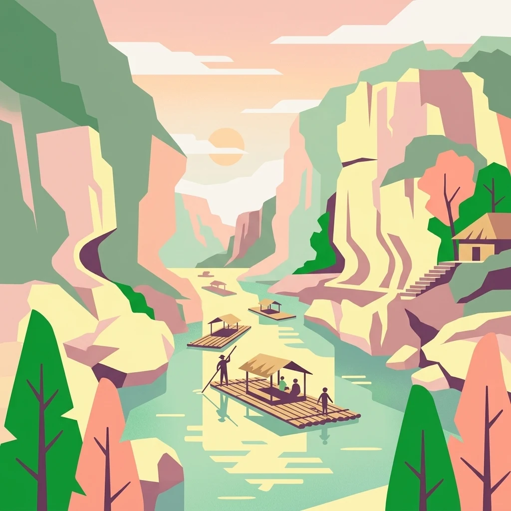
Illustration of a river with bamboo boats, people rowing, limestone cliffs, and trees
National parkNueva Ecija
About 238 km away#17 closest

South

Minalungao National Park: Protected Landscape and Geographic Context in Nueva Ecija

Explore the mapped boundaries of this Philippines national park.

Delve into the specifics of Minalungao National Park, a protected natural area identified as a national park in the Philippines. This exploration focuses on its distinct geographic identity within Nueva Ecija, highlighting the importance of its mapped boundaries and regional landscape. Understand the park's role as a protected land entity for atlas-based discovery.

Area
20.18 km²
Established
1967
IUCN
V
Relief
Upland
National parkBulacan
About 251 km away#18 closest

South

Biak-na-Bato National Park: National Park Atlas and Geographic Context in Bulacan

Explore protected landscapes and mapped terrain.

Biak-na-Bato National Park is a key protected area in Bulacan, Philippines, identified for its national park designation. This entry provides specific details on its geographic positioning and mapped features, essential for atlas-based research and understanding the distribution of protected lands within the region. Dive into the landscape context and mapped boundaries that define this significant natural entity.

Area
21.17 km²
Established
1937
IUCN
V
Relief
Mountain
National parkPhilippines
About 253 km away#19 closest

South

Mount Arayat National Park: Philippines National Park and Protected Landscape Atlas Entry

Mapped geography and protected natural landscape context.

Mount Arayat National Park represents a distinct protected area within the Philippines, serving as a focal point for geographic and landscape exploration. This detailed entry offers insight into its mapped boundaries and its significance as a national park within the archipelago's rich natural tapestry. Users can leverage this information for structured discovery of the park's terrain and its place in the regional geography of the Philippines.

Relief
Mountain
Climate
Tropical
Scope
Terrestrial
Nature reserveBulacan
About 274 km away#20 closest

South

Angat Watershed Forest Reserve: Mountain Watershed Geography and Protected Forest Terrain

A critical nature reserve in the Sierra Madre of Bulacan

This protected area anchors the water supply for Metro Manila while preserving extensive submontane forests and mountain ridges in Central Luzon. The landscape features deep river valleys, hydroelectric reservoirs, and peaks like Mount Oriod that define the local geography of this important conservation zone.

Area
623.09 km²
Established
1927
IUCN
VI
Relief
Mountain
Distance methodology

Geographic measurements, not driving distances

How nearby park distances are calculated

Distances use park boundaries whenever the available geometry allows it. When one or both boundaries are missing, the mapped park locations provide a clearly labelled estimate. Every value represents straight-line geographic separation and does not use roads or routing.

Boundary distance

Calculated between the nearest points of both park boundaries.

Location-to-boundary estimate

Estimated from one mapped park location to the nearest boundary of the other park.

Mapped-location estimate

Estimated between the mapped locations of both parks.

MoriAtlas Explorer

Continue Exploring Balbalasang–Balbalan National Park's Mapped Geography

Deepen your understanding of Balbalasang–Balbalan National Park by exploring its detailed geographic features and protected landscape context. This national park entry facilitates structured discovery of its mapped boundaries and its role within the Cordillera Administrative Region, offering valuable insights for regional atlas exploration and the study of protected areas.