
Mori Atlas logo
National parkChikoy National Park

Discover the mapped landscape and protected boundaries of a unique taiga-steppe transition zone.

Chikoy National Park: Protected National Park within Zabaykalsky Krai's Highland Geography

Chikoy National Park, established in 2014, safeguards the vital upper reaches of the Chikoy River within Russia's Zabaykalsky Krai. This protected national park lies within the Khentei-Daur Highlands, representing a crucial ecological transition where Siberian taiga meets Mongolian steppe. As a key component of the Lake Baikal ecoregion, Chikoy National Park offers rich geographic context through its mountainous terrain, river basin, and the prominent Bystrinsky Golets peak, making it a significant destination for structured atlas exploration.

Siberian protected areaDaurian forest steppeLake Baikal ecoregionKhentei-Daur HighlandsMountain parksRiver basin protection
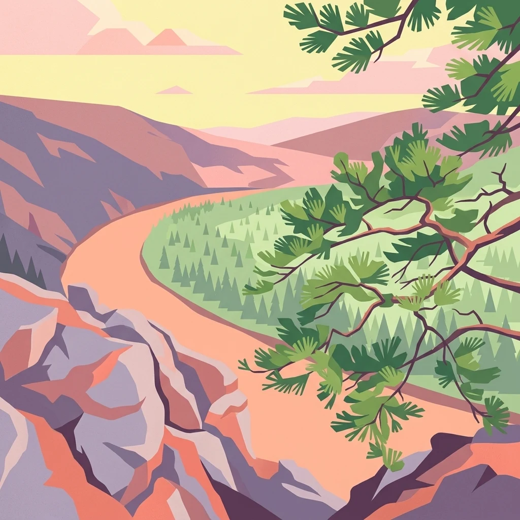
Illustration of a river winding through mountainous landscape with pine trees in foreground and colorful sky

Chikoy National Park

National park

Park overview

Structured park overview, official facts, and landscape profile for Chikoy National Park

Chikoy National Park park facts, protected area profile, and essential visitor context

Review the core facts for Chikoy National Park, including designation, size, terrain, visitor scale, habitats, and operating context in one park-focused overview.

About Chikoy National Park

Chikoy National Park was officially established in 2014 as a Category II protected area under the IUCN classification system. The park is situated in the mountainous border region where south-central Siberia meets Mongolia, placing it within the Khentei-Daur Highlands. The primary conservation purpose centers on preserving the unique natural complexes found in the upper reaches of the Chikoy River, which ultimately flows into Lake Baikal. The park's location at approximately 49°46′N 110°18′E positions it on the southeastern edge of the Lake Baikal ecoregion, a region of significant ecological importance. While the park's management encourages controlled tourism and sport fishing activities to provide sustainable visitor engagement, it maintains strict prohibitions against hunting and road construction to protect the area's ecological integrity. The park is administered by Russia's Ministry of Natural Resources and Environment.

Quick facts and research context for Chikoy National Park

Chikoy National Park covers 666,468 hectares in the transition zone between the Siberian taiga and Mongolian steppe ecosystems. The park lies in the Khentei-Daur Highlands at the upper reaches of the Chikoy River, with Bystrinsky Golets marking the highest point of the surrounding Chikokon Range. Established in 2014, the park is managed by Russia's Ministry of Natural Resources and Environment and forms part of the broader Lake Baikal ecoregion.

Protection and recognition

Tracking terrestrial protection scope and official environmental designation parameters.

Documented Protection Status and Conservation Profile of Chikoy National Park

Researchers can analyze the official terrestrial protection framework and documented designation parameters established for Chikoy National Park. Evaluating formal conservation records helps regional researchers understand the administrative boundaries and legal oversight of the surrounding terrain.

Protection details

Protection scope
Terrestrial
Transboundary protection
No
Park context

Deeper park guide and search-rich context for Chikoy National Park

Chikoy National Park history, landscape, wildlife, and travel context

Explore Chikoy National Park through its history, landscape character, ecosystems, wildlife, conservation priorities, cultural context, and seasonal travel timing in a structured park guide built for atlas discovery and search intent.

Why Chikoy National Park stands out

Chikoy National Park is distinguished by its location in the Khentei-Daur Highlands and its protection of the upper Chikoy River basin within the Lake Baikal ecoregion. The park encompasses Bystrinsky Golets, a natural monument and the highest peak of the Chikokon Range, serving as a defining geographic feature. The park also represents the transitional ecological zone where Siberian taiga gives way to Mongolian steppe, creating a diverse landscape of pine forests, mountain terrain, steppe, and alpine meadows.
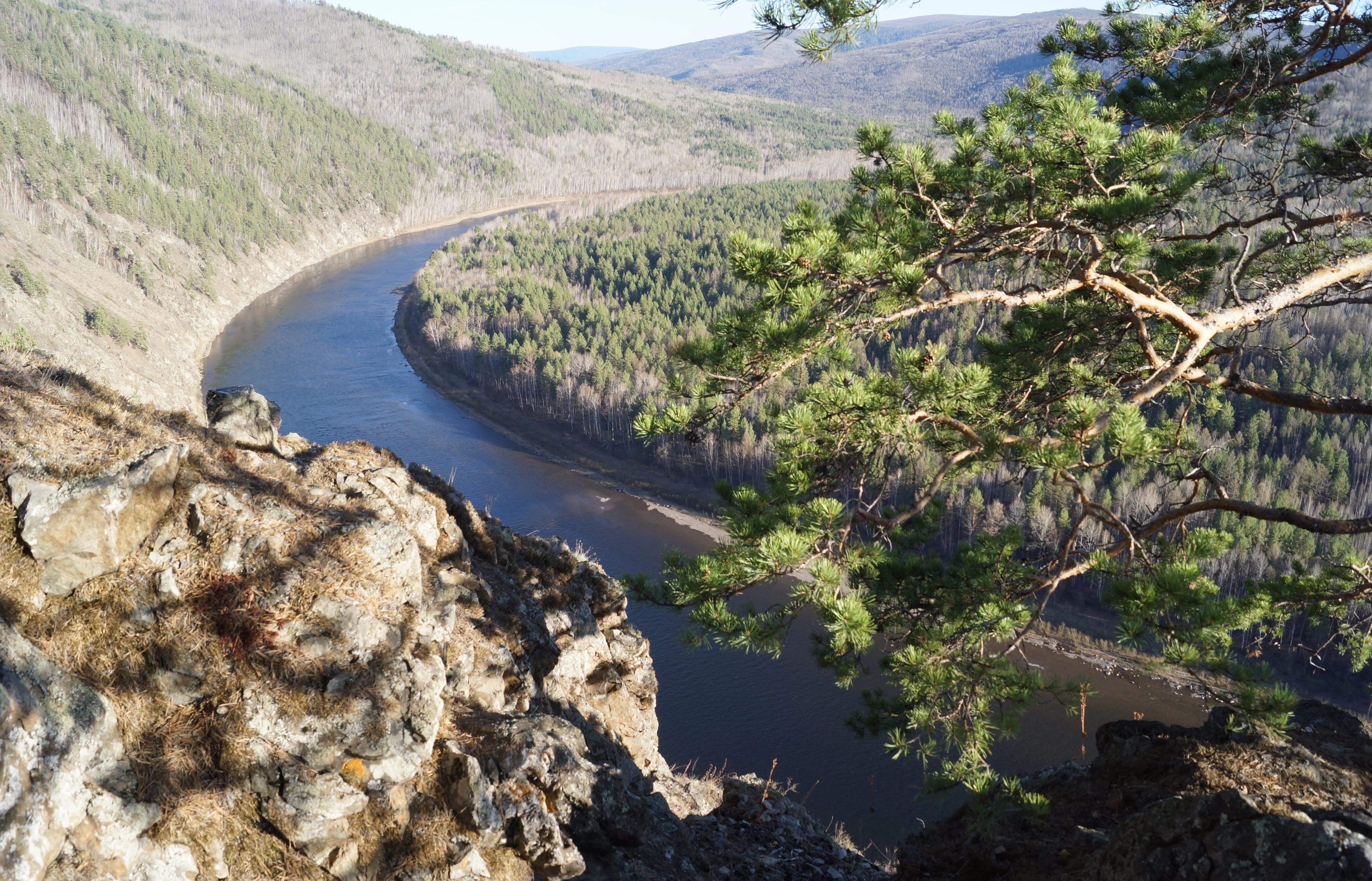
A wide river flowing through a forested valley with rocky terrain in the foreground and rolling hills in the background
A calm river reflecting the surrounding hills in Chikoy National Park

Chikoy National Park history and protected-area timeline

Chikoy National Park was created in 2014 as a relatively recent addition to Russia's network of protected areas. The establishment of the park reflected a growing emphasis on preserving the unique natural complexes found in the upper reaches of the Chikoy River basin. The decision to designate this area as a national park came as part of broader conservation efforts in the Lake Baikal ecoregion, recognizing the ecological significance of the Khentei-Daur Highlands and the need to protect the transitional landscape where Siberian and Mongolian ecosystems meet. The park's creation explicitly prohibited hunting and road construction within its boundaries, reflecting a conservation-first approach to managing this sensitive highland environment.

Chikoy National Park landscape and geographic character

The landscape of Chikoy National Park is defined by its position within the Khentei-Daur Highlands, a mountainous region characterized by rugged terrain and significant elevation variation. The park encompasses the upper reaches of the Chikoy River as it flows through the Baikal Basin, with the river serving as a central hydrological feature. Bystrinsky Golets, a natural monument mountain, rises as the highest point within both the Chikokon Range and the broader highlands, providing a prominent geographic landmark within the park. The terrain combines mountain ridges, valley systems, and the river corridor, creating a varied topography typical of highland areas. The park's landscape reflects the transitional nature of the region, where mountain environments meet the more open terrain of the surrounding steppe.

Chikoy National Park ecosystems, habitats, and plant life

Chikoy National Park occupies a distinctive position within the Daurian forest steppe ecoregion, representing the ecological transition between the Siberian taiga to the north and the Mongolian steppe to the south. This positioning creates a mosaic of habitats within the park's boundaries, including pine forests, mountain terrain, steppe grasslands, and alpine meadows. The diversity of vegetation communities reflects the interplay between northern and southern ecological influences, as well as the altitudinal variation present in the highland landscape. The park's ecosystems form part of the broader Lake Baikal ecoregion, connecting this protected area to one of the world's most significant freshwater systems and its surrounding terrestrial environments.

Chikoy National Park wildlife and species highlights

The wildlife of Chikoy National Park reflects the transitional ecological character of the Daurian forest steppe ecoregion. The park's position at the meeting point of Siberian taiga and Mongolian steppe environments supports species adapted to both forest and grassland habitats. The diverse habitats created by pine forests, mountain terrain, steppe, and alpine meadows provide conditions for varied wildlife communities. While the source material provides general context about the ecoregional setting rather than specific species details, the park's protected status helps maintain the ecological connections that support wildlife populations in this boundary zone between northern and southern Asian ecosystems.

Chikoy National Park conservation status and protection priorities

Chikoy National Park serves an important conservation function within the Lake Baikal ecoregion, protecting the unique natural complexes of the upper Chikoy River basin. The park's establishment in 2014 reflected recognition of the ecological significance of the Khentei-Daur Highlands and the need to preserve this transitional landscape. As part of the Daurian forest steppe ecoregion, the park helps maintain connections between Siberian and Mongolian ecosystems. The park's management approach, which prohibits hunting and road construction while encouraging sustainable tourism and sport fishing, reflects a conservation framework that prioritizes ecological integrity while allowing limited human engagement with the environment.

Chikoy National Park cultural meaning and human context

Chikoy National Park is situated in the Krasnochikoysky District of Zabaykalsky Krai, also known as Trans-Baikal region, in southeastern Siberia. This area has historical connections to the broader cultural landscape of the Siberian-Mongolian border region. The park's location at the transition between Siberian and Mongolian environments places it within a region of historical interaction between different cultural traditions. While the source material focuses on the park's ecological and geographic attributes, the protected area exists within a landscape that has been shaped by longer-term human presence in this remote corner of Russia.

Top sights and standout views in Chikoy National Park

Chikoy National Park protects the upper Chikoy River within the Lake Baikal ecoregion, preserving highland ecosystems where Siberian taiga transitions to Mongolian steppe. The park encompasses the Khentei-Daur Highlands and features Bystrinsky Golets, the highest peak of the Chikokon Range. Established in 2014, it represents a recent addition to Russia's protected areas network with a conservation mandate focused on preserving unique natural complexes while prohibiting hunting and road construction. The park's 666,468-hectare territory supports diverse habitats including pine forests, mountain terrain, steppe, and alpine meadows.

Best time to visit Chikoy National Park

Chikoy National Park experiences a subarctic climate characterized by mild summers and cold winters. The summer months, when temperatures rise above 10°C for approximately one to three months, offer the most favorable conditions for visiting the park. Summer visitors can experience the highland landscapes during the relatively warm season when trails and outdoor activities are most accessible. Winter visits would encounter the harsh subarctic conditions typical of this region in southeastern Siberia, with significantly more challenging environmental conditions.

Monthly climate preview

Comparing long term temperature variations and precipitation trends in Zabaykalsky Krai

Chikoy National Park Climate Patterns and Monthly Weather Averages

Long term records at a representative elevation of 1439.81 meters show a wide thermal range; average minimums drop below -34 degrees Celsius in January while peak average maximums reach 30 degrees Celsius. Comparing the full twelve month profile reveals detailed precipitation cycles and monthly average variations across the protected landscape.
Annual mean-3 °C
-22 °C16 °C
Jan-22°
Feb-18°
Mar-11°
Apr-2°
May
Jun13°
Jul16°
Aug13°
Sep
Oct-3°
Nov-12°
Dec-19°
Warmest month
July

15.8 °C

Coolest month
January

-21.7 °C

Wettest month
July

3.3 mm/day

Driest month
January

0.3 mm/day

Park location guide

Geography guide, regional context, and park location map for Chikoy National Park

Chikoy National Park park geography, regions, and map view in Russia

Understand where Chikoy National Park sits in Russia through a broader geographic reading of the surrounding landscape, nearby location context, and its mapped position within the national park landscape.

How Chikoy National Park fits into Russia

Russia is a transcontinental nation spanning eleven time zones, bordered by fourteen countries. It is the world's largest country by area, covering 17,098,246 km². Moscow is the capital and largest city, while Saint Petersburg is the second-largest and a major cultural centre.

Wider geography shaping Chikoy National Park in Russia

Russia spans Eastern Europe and North Asia, covering 17,098,246 km². It shares land borders with fourteen countries, more than any other nation, and spans eleven time zones. The landscape includes vast plains, mountain ranges such as the Urals and Caucasus, and extensive coastlines along the Arctic Ocean, Pacific Ocean, Baltic Sea, Black Sea, and Caspian Sea.

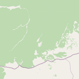
Map view of Chikoy National Park

Use this park location map to pinpoint Chikoy National Park in Russia, understand its exact geographic position, and read its mapped placement within the surrounding landscape more clearly.

Pigeon | © OpenStreetMap contributors

Location context for Chikoy National Park

Zabaykalsky Krai

Visually explore Chikoy National Park's unique mountain terrain, taiga-steppe transition, and diverse protected habitats through detailed imagery.

Chikoy National Park Photos: Visual Guide to Siberian Protected Landscapes and Mountain Terrain

Browse a curated collection of Chikoy National Park images to visually comprehend its vast Siberian protected landscapes, including the Khentei-Daur Highlands and the upper Chikoy River basin. These park photos offer essential insight into the distinct mountain terrain, diverse forest-steppe habitats, and unique environmental character that define this important conservation area.

A wide river flowing through a forested valley with rocky terrain in the foreground and rolling hills in the background

Park atlas

Browse the Geographic Spread of Protected Areas in Zabaykalsky Krai and the Broader Siberian Frontier

Discover Other National Parks Near Chikoy National Park, Russia, and Explore Regional Protected Landscapes

Continue exploring national parks and other protected areas across the Trans-Baikal region, mapping the diverse geography and conservation landscapes surrounding Chikoy National Park. Trace the spread of taiga-steppe transition zones and mountain-river ecosystems, gaining broader geographic context for protected-area comparison within Zabaykalsky Krai.
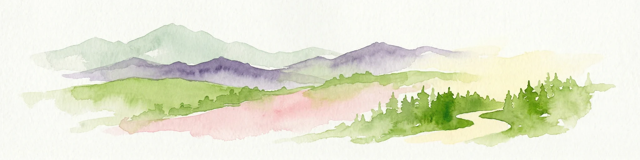
Watercolor illustration showing a mountainous landscape with green valleys and a river, rendered in soft pink and green hues
National parkKhentii Province
About 105 km away#1 closest

Southeast

Onon-Balj National Park: A Protected River Valley in Mongolia's Khentii Province

Explore unique geography and diverse ecosystems at a steppe-forest transition.

Onon-Balj National Park safeguards a critical river valley area in Khentii Province, Mongolia, marking an important ecological transition zone between Siberian forests and the Daurian steppe. Discover the park's mapped landscape, characterized by mid-sized mountains and riparian habitats along the Onon and Balj rivers. This protected area offers insights into regional geography, biodiversity, and the unique natural heritage of northern Mongolia.

Area
4,158 km²
Established
2000
IUCN
II
Relief
Mountain
Wildlife reserveKhentii Province
About 156 km away#2 closest

Southwest

Khan Khentii Strictly Protected Area: Geographic Overview and Protected Landscape Mapping

Eastern Mongolia wilderness and Khentii mountain terrain

Explore the expansive reaches of Khan Khentii Strictly Protected Area, a cornerstone of Mongolian conservation. This reserve shields intact taiga forests, river valley habitats, and the historic Burkhan Khaldun mountain from industrial activity, preserving one of the most significant mountain wilderness regions in the province of Khentii.

Area
12,270 km²
Established
1992
IUCN
Ib
Relief
Mountain
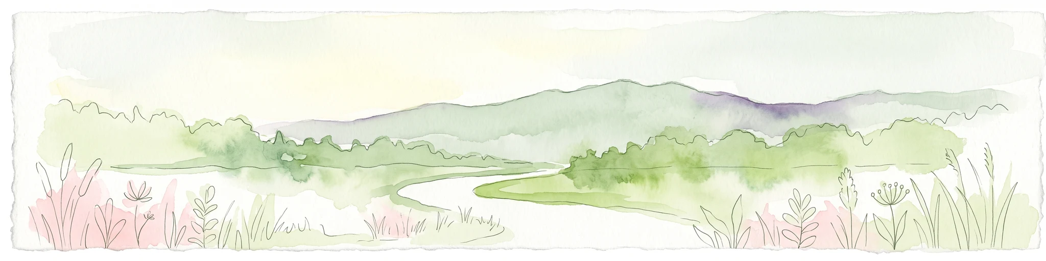
Watercolor painting of a river winding through a grassy plain toward distant rolling hills under a soft light.
National parkZabaykalsky Krai
About 252 km away#3 closest

Northeast

Alkhanay National Park: Protected Mountain Terrain and Volcanic Landscapes of Zabaykalsky Krai

Mapping Siberia's forest-steppe transition and sacred mountain geography

Alkhanay National Park preserves an unusual assembly of Siberian mountain taiga, volcanic geology, and Buddhist heritage sites within the Zabaykalsky Krai region. The protected territory spans mid-elevation ranges and river valleys, offering deep insights into the intersection of ecological watershed protection and spiritual land preservation in the Russian Far East.

Area
1,382.34 km²
Established
1999
IUCN
II
Visitors
30K annual
Watercolor illustration depicting layered mountains, green hills, and forested areas with purple and pink tones
National parkZabaykalsky Krai
About 252 km away#4 closest

Northeast

Alkhanay National Park: A Study of Sacred Peaks and Daurian Forest Steppe Geography

Protected mountain landscapes in Russia's Zabaykalsky Krai

Alkhanay National Park preserves a unique transitional landscape where rugged mountain terrain meets the expansive Siberian steppe. Focused on the sacred Mount Alkhanai, the area features dramatic rock landforms, pine-covered canyons, and mineral springs. This protected zone provides a deep look into the geological and ecological history of the Mogotuyskogo Range and surrounding border regions.

Area
1,382 km²
Established
1999
IUCN
II
Relief
Mountain
National parkTöv Province
About 269 km away#5 closest

Southwest

Gorkhi-Terelj National Park: Mapped Protected Landscape in Töv Province

Explore the geographic context and park boundaries.

Gorkhi-Terelj National Park is a designated national park offering rich opportunities for geographic exploration and protected landscape discovery. This entity page provides detailed insights into its mapped boundaries and its position within the regional geography of Töv Province. Understand the specific landform and terrain characteristics that define this protected natural area, central to understanding Mongolia's conservation landscapes.

Area
2,920 km²
Established
1993
IUCN
II
Relief
Mountain
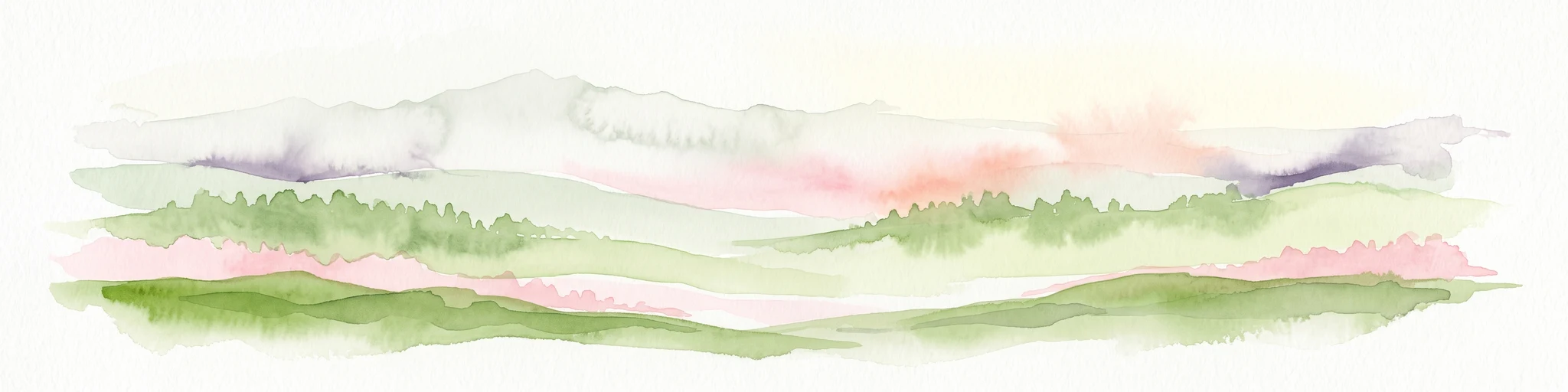
A horizontal watercolor painting depicting a soft-toned mountain range with layered green hills and distant, hazy peaks in pastel pink and purple hues.
Biosphere reserveUlaanbaatar
About 327 km away#6 closest

Southwest

Bogd Khan Uul Biosphere Reserve: Mapped Protected Landscapes and Geographic Overview

Highland ecosystems and forest steppe in the Khentii Mountains.

Rising directly south of Ulaanbaatar, Bogd Khan Uul Biosphere Reserve protects a compact mosaic of habitats including larch forests, Siberian pine stands, and alpine rock. The reserve serves as a critical geographic marker, illustrating the rapid shift from urban fringes to subalpine wilderness while maintaining a history of sacred environmental protection that informs its current status as a biosphere reserve.

Area
673 km²
Established
1996
Relief
Mountain
Climate
Boreal
Nature reserveDornod Province
About 346 km away#7 closest

East

Mongol Daguur Nature Reserve: Steppe and Wetland Geography in Eastern Mongolia

Protected landscape boundaries within Dornod Province

An authoritative overview of the Mongol Daguur protected area, focusing on its role as a core element of the Daurian landscape. Discover the spatial distribution of its steppe habitats, wetland systems, and mountain-grassland terrain that define this eastern Mongolian region.

Area
156 km²
Established
1998
IUCN
Ib
Relief
Lowland
National parkTöv Province
About 376 km away#8 closest

Southwest

Hustai National Park: Geographic and Protected Landscape Profile in Töv Province

Steppe, mountain, and riverine ecosystem mapping

Hustai National Park serves as a landmark conservation site in Töv Province, protecting a distinct gradient between the Khustai mountain ridges and the surrounding Mongolian plains. The area is defined by its role in steppe ecology, featuring varied slopes, riverine woodlands, and expansive grasslands that support a unique assembly of wildlife within the broader central Mongolian region.

Area
506 km²
Established
2003
IUCN
II
Relief
Mountain

Common questions about visiting, size, designation, and location context for Chikoy National Park

Chikoy National Park FAQs for park facts, access, geography, and protected area context

Find quick answers about Chikoy National Park, including protected-area facts, park geography, trail and visitor context, and how the park fits into its surrounding country and regional landscape.
MoriAtlas Explorer

Continue Your Protected Areas Search Across the Global Atlas

Deepen your exploration by continuing the structured search for national parks and protected areas worldwide. Utilize the comprehensive filtering capabilities to compare different conservation landscapes and refine your understanding of global park geography. Discover more about the distribution and characteristics of protected natural areas.

Global natural geography