Mori Atlas logo
Nearby park discovery

Explore the regional geography and distribution of nearby protected terrain

Protected Areas and Natural Landscapes Near Chocoyero-El Brujo Natural Reserve in Nicaragua

Trace the geographic distribution of protected lands surrounding Chocoyero-El Brujo Natural Reserve within the Managua department and broader Pacific slope. This mapping provides context for neighboring natural landscapes and forest watersheds, highlighting their spatial relationship to this specific Nicaraguan reserve. Access detailed mapped views to compare regional terrain features and locate other significant conservation areas.

Related tags

tropical forestwaterfallwatershedbirdwatchingparakeet habitat

A small Pacific slope tropical forest reserve supplying water, wildlife, and waterfalls to greater Managua.

Chocoyero-El Brujo Natural Reserve

Chocoyero-El Brujo Natural Reserve is a compact tropical forest protected area on the Pacific slope of Nicaragua, just outside the capital region in the municipality of Ticuantepe, Managua department. Although it is one of the smallest protected areas in Nicaragua, covering roughly 455 acres, the reserve carries outsized importance because of the freshwater it produces for the surrounding region and the dense biodiversity packed into its steep, watered terrain. Two named waterfalls, El Brujo and Chocoyero, shape the reserve's identity, and the cliff walls around them host the colonies of green parakeets that give the site its name. Ecologically, the reserve sits at the intersection of tropical forest and water-rich ravine habitat, supporting more than 100 bird species along with mammals such as howler monkeys, white-faced monkeys, tigrillos, agoutis, and deer, and a notable array of reptiles, amphibians, and plants. As both a wildlife haven and a functioning watershed, it blends ecological protection with practical hydrological value. Its easy reach from Managua has also made it a popular local destination for ecotourism, birdwatching, and short outdoor visits.

Location
Nicaragua
Park type
Nature reserve
Established
1993
Area
1.8 km²
Chocoyero-El Brujo Natural Reserve Geography
Regional park map

See the ranked park cluster in its geographic setting

Nearby parks around Chocoyero-El Brujo Natural Reserve

This regional map shows the same 20 nearby parks ranked below around Chocoyero-El Brujo Natural Reserve. Select a ranked marker to highlight that park’s boundary where boundary data is available.
Reference park: Chocoyero-El Brujo Natural ReserveRanked nearby park20 nearby parks shown
20 nearby parks

Distance-ranked protected landscapes and regional conservation geography

Parks and Protected Areas Geographically Near Chocoyero-El Brujo Natural Reserve

Geographic proximity metrics and boundary measurements establish a structured ranking of protected areas surrounding Chocoyero-El Brujo Natural Reserve. Analyzing these neighboring locations reveals broader regional terrain patterns and comparative environmental characteristics across the surrounding territory.
An illustrative style image depicting a deep volcanic crater with steep rocky cliffs, sparse vegetation, and a distant lake under a soft sky.
National parkNicaragua
About 5.6 km away#1 closest

Southeast

Masaya Volcano National Park

Explore the mapped boundaries of this unique volcanic terrain.

Masaya Volcano National Park, in Nicaragua. Landscapes: mountains and volcanoes.

IUCN
II
Relief
Mountain
Access
Access unknown
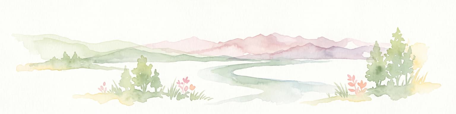
A soft watercolor painting of a calm lake surrounded by rolling hills and distant mountains, with light vegetation in the foreground.
Nature reserveNicaragua
About 17 km away#2 closest

Southeast

Laguna de Apoyo Nature Reserve: Geographic Profile and Protected Volcanic Caldera

A study of volcanic lake hydrology and tropical dry forest terrain.

Laguna de Apoyo Nature Reserve is a prominent protected landscape in Nicaragua, centered on a deep crater lake of volcanic origin. This nature reserve protects a circular caldera filled by an endorheic lake, ringed by diverse tropical dry forest. The area serves as a significant site for understanding geological landforms and the specialized freshwater biodiversity found within its sheltered basin.

Area
35 km²
Established
1991
IUCN
IV
Relief
Mixed relief
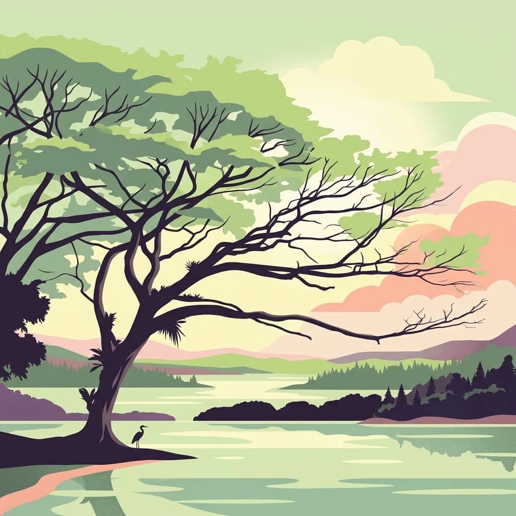
A stylized illustration of a calm lake in Zapatera Archipelago with a large, spreading tree on the shoreline and a heron standing near the water, set against a soft sunset sky.
National parkNicaragua
About 50 km away#3 closest

Southeast

Zapatera Archipelago National Park: Nicaragua National Park Atlas and Protected Landscape Explorer

Explore the mapped boundaries and regional geography.

Zapatera Archipelago National Park serves as a distinct national park within Nicaragua, offering a focused point for exploring protected landscapes and their geographic context. This entry details the park's mapped boundaries and its significance within the atlas of Central American natural areas. Users can understand its role as a protected entity and its contribution to the region's mapped geography, supporting structured discovery of its natural landscape identity.

IUCN
II
Climate
Tropical
Scope
Mixed
Water
Water-dominated
An illustration of a large volcanic crater with steam rising from its depth, surrounded by green mountains and a walking path with a railing.
Nature reserveNicaragua
About 119 km away#4 closest

Northeast

Cerro Pancasan Natural Reserve: Geographic Overview of a Nicaraguan Protected Forest Hill

Exploring mountain-slope terrain and regional watershed conservation

As a significant hill reserve in western Nicaragua, Cerro Pancasan Natural Reserve protects essential tropical forest cover against agricultural encroachment. This entry provides a detailed look at the reserve's topography, its role in maintaining regional stream flow, and its place within the country-wide SINAP network of protected land.

Scope
Terrestrial
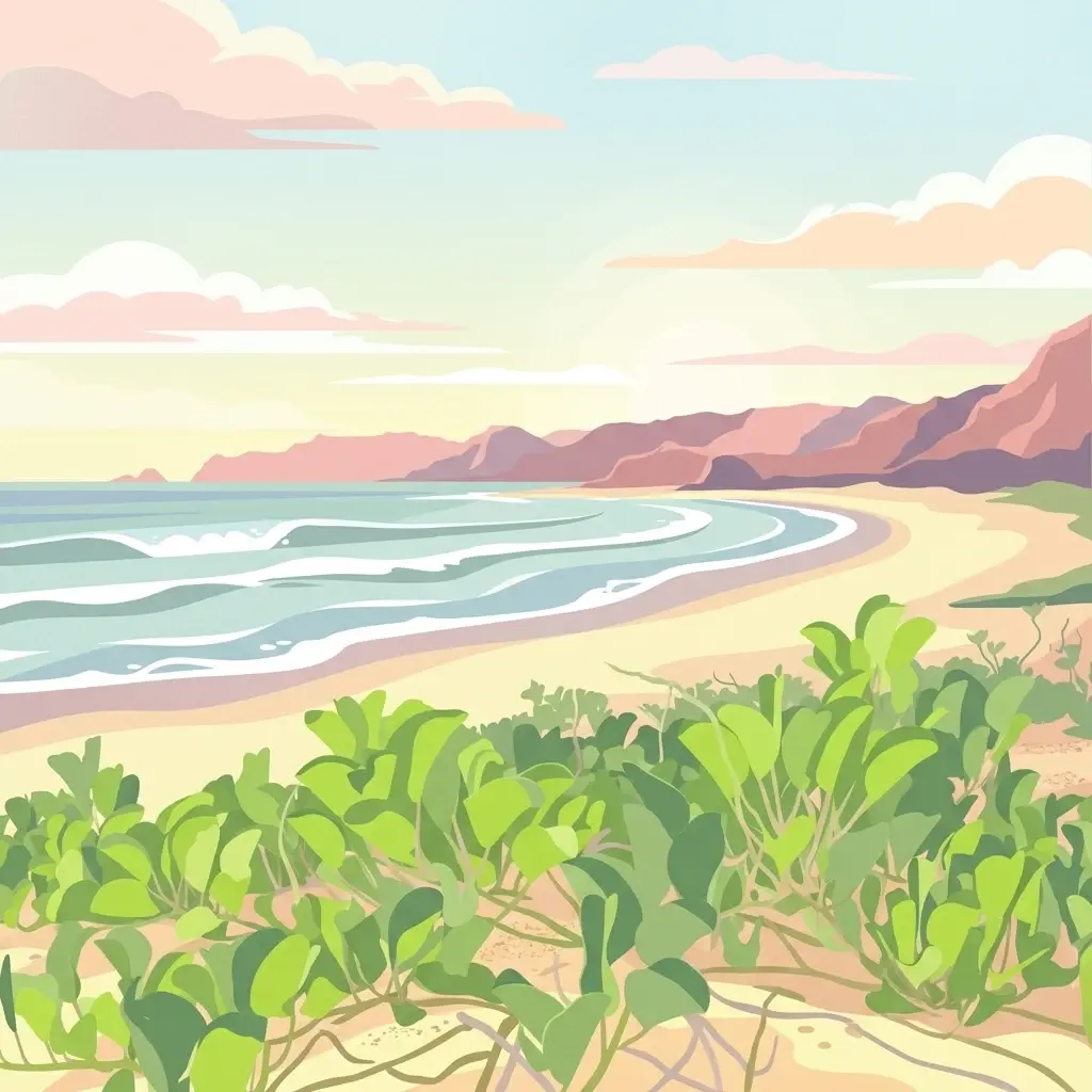
A digital illustration of a sandy beach meeting the ocean, with green coastal vegetation in the foreground and a hilly coastline in the background under a soft sunset sky.
National parkGuanacaste Province
About 119 km away#5 closest

South

Santa Rosa National Park: Guanacaste Province National Park Protected Area

Mapped natural landscape and regional geography.

Santa Rosa National Park is a vital protected area within Costa Rica's Guanacaste Province. This detail page offers an atlas-focused view of the park, highlighting its geographic setting and mapped boundaries. It serves as a primary resource for understanding the park's protected landscape identity and its contribution to regional conservation geography, supporting structured exploration for users interested in natural areas.

Area
815.31 km²
Established
1966
IUCN
II
Climate
Tropical
A flat-style digital illustration depicting a rolling green landscape with a large volcanic mountain in the distance, framed by bare trees in the foreground and a rustic fence.
National parkGuanacaste Province
About 124 km away#6 closest

Southeast

Guanacaste National Park

Explore mapped park boundaries and regional natural landscape context.

Guanacaste National Park, in Guanacaste Province, Costa Rica. Landscapes: mountains, valleys, and forests.

Area
340 km²
Established
1991
IUCN
II
Relief
Mixed relief
Nature reserveChinandega Department
About 153 km away#7 closest

Northwest

Estero Padre Ramos Natural Reserve: Protected Coastal Estuary and Turtle Habitat in Nicaragua

Mangrove forests and tidal landscapes of the Pacific coast

Gain insights into the geography and protected status of Estero Padre Ramos Natural Reserve. This coastal sanctuary in the Chinandega Department features pristine estuarine channels, mudflats, and rocky reefs that define the local terrain and support international marine turtle conservation efforts.

Area
91.57 km²
Established
1983
IUCN
IV
Relief
Lowland
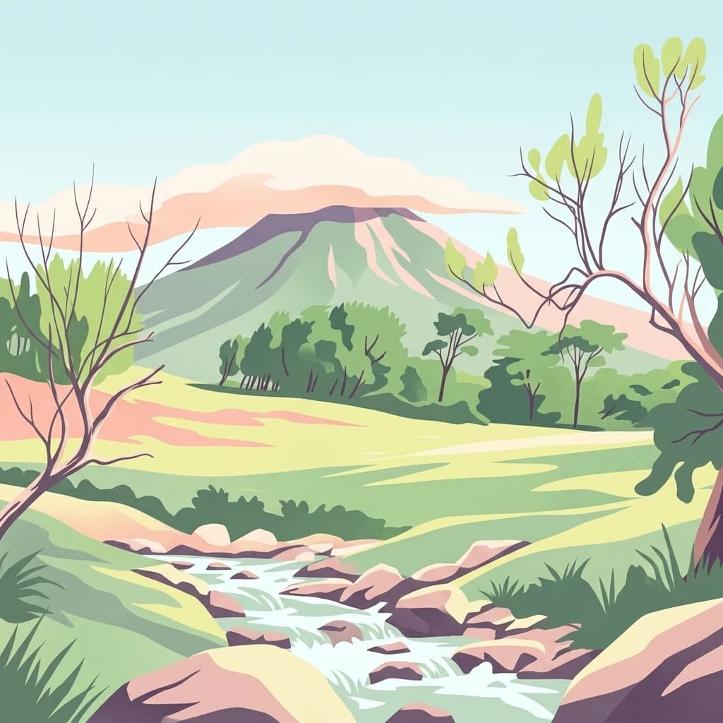
An illustration showing a volcanic mountain peak in the distance with a stream flowing through a grassy valley in the foreground.
National parkGuanacaste Province
About 166 km away#8 closest

Southeast

Rincón de la Vieja National Park: Costa Rican National Park Atlas Entry

Mapped protected landscape and regional geography.

Gain a structured understanding of Rincón de la Vieja National Park as a key protected area within Guanacaste Province. This detail page offers an atlas-focused perspective, highlighting its mapped boundaries and regional geographic significance. Explore how this national park contributes to the protected landscapes of Costa Rica, providing essential context for geographic discovery.

Area
141.61 km²
Established
1973
IUCN
II
Climate
Tropical
Nature reserveChinandega Department
About 174 km away#9 closest

Northwest

Cosigüina Peninsula Nature Reserve: Geographic Overview and Protected Landscape Mapping

A coastal volcanic reserve in Chinandega Department.

The Cosigüina Peninsula represents a vast protected territory where volcanic slopes meet the Gulf of Fonseca. This nature reserve includes critical mangrove systems, tidal wetlands, and offshore islets. The area serves as a primary geographic anchor for northwestern Nicaragua, offering deep insights into the region's complex coastal and volcanic landforms and its status as a vital protected wildlife refuge.

Established
1958
Relief
Mixed relief
Access
Access unknown
Scope
Mixed
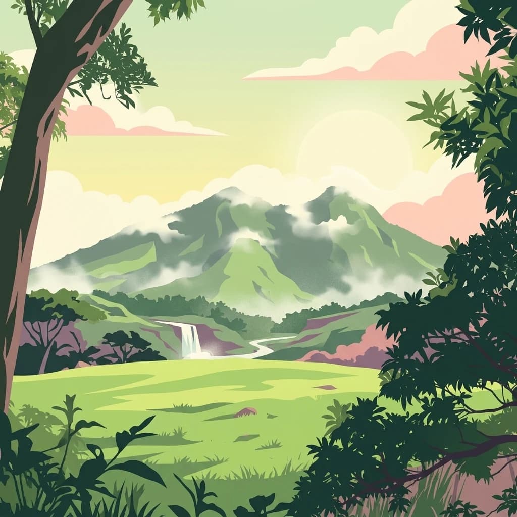
A flat-style digital illustration showing a green valley with a waterfall in the midground, framed by silhouetted trees, leading up to a large green volcanic mountain shrouded in mist under a soft sky.
National parkCosta Rica
About 178 km away#10 closest

Southeast

Miravalles Jorge Manuel Dengo National Park: Costa Rica National Park Geographic Context

Mapped protected landscape and regional park geography.

Miravalles Jorge Manuel Dengo National Park offers a focused lens for understanding protected natural areas within Costa Rica. Explore its specific geographic footprint and the surrounding regional context to appreciate its significance as a mapped protected landscape. This detailed view supports a structured discovery of the park's identity, helping users grasp its place within the national atlas.

Area
43 km²
Established
2019
IUCN
II
Relief
Mountain
A digital illustration of a sandy beach meeting a calm turquoise sea, with a dense green forest coastline and soft, pastel-colored clouds in the sky.
National parkGuanacaste Province
About 183 km away#11 closest

South

Las Baulas Marine National Park: Protected Marine Landscape Atlas in Guanacaste Province

Explore its mapped boundaries and regional geographic context.

Las Baulas Marine National Park represents a vital protected marine territory within Costa Rica. This entry offers an atlas-oriented perspective, detailing the park's geographic scope and its specific mapped boundaries. Users can explore its significance as a protected landscape, understand its relationship to the broader regional geography of Guanacaste Province, and utilize this information for structured natural landscape discovery.

Area
175 km²
Established
1991
IUCN
II
Relief
Mixed relief
A stylized illustration showing a vibrant tropical rainforest scene with a winding blue river leading to a waterfall, surrounded by dense jungle vegetation and volcanoes in the background.
National parkCosta Rica
About 192 km away#12 closest

Southeast

Tenorio Volcano National Park: National Park Geographic Context in Costa Rica

Map exploration of its volcanic terrain and protected area boundaries.

Delve into Tenorio Volcano National Park, a key national park entity situated within Costa Rica's vibrant geography. This page provides detailed atlas-style information, focusing on the park's mapped boundaries, its characteristic volcanic landscape, and its role in understanding the broader distribution of protected areas across the country. Understand the park's specific geographic identity and its contribution to the nation's natural heritage.

Area
129 km²
Established
1976
IUCN
II
Relief
Mountain
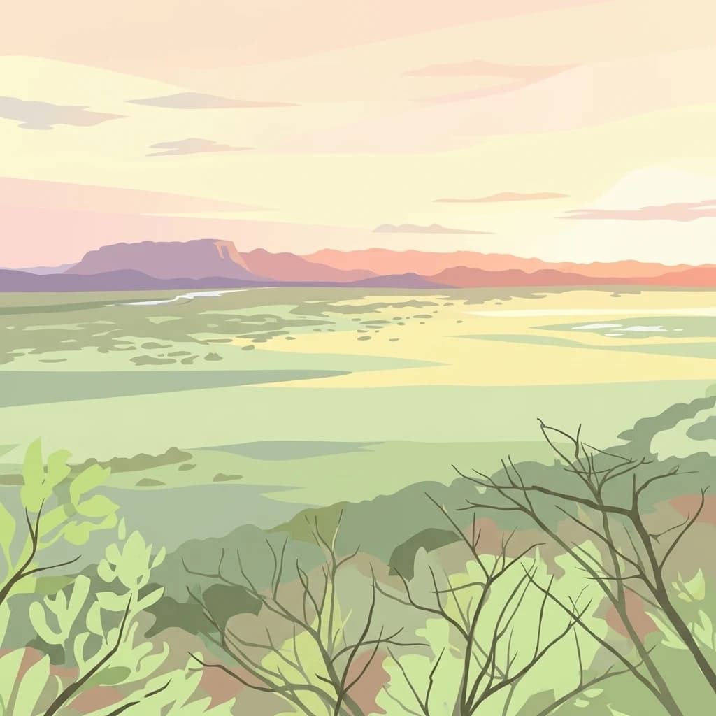
A digital illustration of a wide tropical wetland landscape under a warm sunset, with distant mountains, dry forest trees in the foreground, and a winding river snaking through the flat, lush valley.
National parkCosta Rica
About 197 km away#13 closest

Southeast

Palo Verde National Park: Costa Rica's Protected Landscape Geography and Map Context

Explore mapped park boundaries and regional natural landscapes.

Delve into the geographic identity of Palo Verde National Park, a protected area within Costa Rica. This detail entry focuses on its mapped landscape, providing context for its protected boundaries and regional setting. Understand how Palo Verde National Park fits into the broader atlas of Costa Rican geography, offering a factual basis for exploring its specific natural terrain and its significance as a national park within Central America's rich biodiversity.

Area
184 km²
Established
1978
IUCN
II
Relief
Lowland
A horizontal watercolor painting showing layers of distant misty mountains behind a foreground of dense tropical foliage and palm-like plants.
Biosphere reserveJinotega Department
About 207 km away#14 closest

Northeast

Bosawás Biosphere Reserve: Mapping Tropical Rainforest Landscapes and Regional Geography

Extensive primary forest and mountainous terrain in Nicaragua

Examine the geographic layout and protected boundaries of Bosawás Biosphere Reserve. Spanning nearly 20,000 square kilometers across Jinotega Department, this massive biosphere reserve includes the Saslaya massif and essential watersheds, serving as a critical study of tropical rainforest preservation and complex highland topography.

Area
20,000 km²
Established
1997
IUCN
IV
Relief
Mountain
National parkGuanacaste Province
About 214 km away#15 closest

South

Diriá National Park: Protected Landscape Atlas within Guanacaste Province

National Park geographic context and mapped terrain.

Examine Diriá National Park as a distinct protected area within Guanacaste Province. This detailed entry focuses on its geographic identity, mapped boundaries, and natural landscape characteristics. Understand how this national park contributes to the regional atlas, offering a clear view of its protected status and natural terrain features for focused discovery.

Area
28 km²
Established
1991
IUCN
II
Relief
Mountain
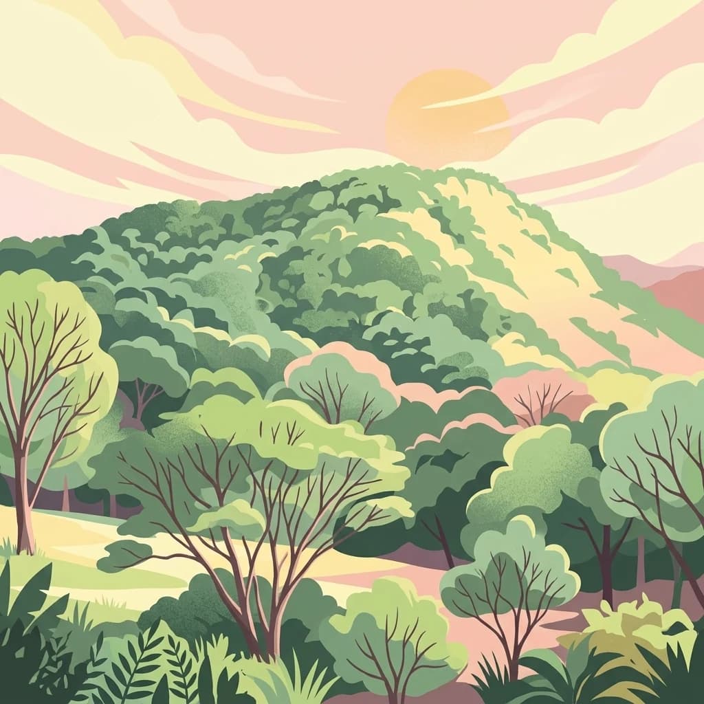
A stylized illustration showing a dense green forest and hills under a soft pastel sunset.
National parkCosta Rica
About 221 km away#16 closest

Southeast

Barra Honda National Park: Costa Rican Protected Landscape and Geographic Atlas

Mapped boundaries and regional park geography.

Barra Honda National Park stands as a notable protected area, offering a distinct geographic profile within Costa Rica. Its designation as a national park underscores its importance for landscape conservation and atlas exploration. This entry details the park's mapped terrain and its contribution to understanding the regional geography, providing a focused view for those interested in protected land distribution and natural context.

Area
23 km²
Established
1974
IUCN
II
Relief
Mountain
National parkHonduras
About 228 km away#17 closest

North

Patuca National Park National Park: Understanding its Mapped Protected Boundaries and Honduran Geography

Explore the protected landscape and regional setting of this Honduran park.

Patuca National Park is an important protected area within Honduras, offering a unique opportunity to study its geographic features and conservation significance. As a national park, it provides a critical anchor for understanding regional landscape patterns and mapped protected boundaries in Central America. This entity within the MoriAtlas helps users grasp the specific geographic context and natural terrain associated with Patuca National Park, facilitating detailed atlas-based exploration of its protected status and landscape character.

Area
3,755.84 km²
Established
1999
IUCN
II
Scope
Terrestrial
Nature reserveNicaragua
About 230 km away#18 closest

Southeast

Indio Maíz Biological Reserve: Protected Landscape and Geographic Identity

Lowland rainforest and riverine systems of southeastern Nicaragua

Indio Maíz Biological Reserve stands as one of Central America's largest protected blocks of tropical forest. Characterized by dense, humid lowlands and extensive river systems like the San Juan, this reserve serves as a critical biodiversity stronghold and a significant example of indigenous-led land stewardship in the region.

Area
2,639 km²
Established
1990
Relief
Lowland
Climate
Tropical
An illustration of a smoking volcano peak in the background, framed by lush tropical vegetation and foreground forest canopy.
National parkCosta Rica
About 232 km away#19 closest

Southeast

Arenal Volcano National Park

Detailed geography and protected landscape context for a Costa Rican national park.

Arenal Volcano National Park, in Costa Rica. Landscapes: volcanoes, lakes, and mountains.

Area
121.24 km²
Established
1991
IUCN
II
Relief
Mountain
An artistic digital illustration showing a vibrant green mountain range with dense forest cover, soft clouds, and a winding path, viewed through a frame of tall trees.
National parkFrancisco Morazán Department
About 261 km away#20 closest

North

La Tigra National Park: Mapped Protected Landscape in Francisco Morazán Department, Honduras

Explore its geography and protected area context.

La Tigra National Park serves as a key protected area within the Francisco Morazán Department, offering rich opportunities for geographic and landscape discovery. This national park's specific mapped boundaries and regional context are vital for understanding its role within Honduras's protected lands. Engage with its geography to appreciate the unique characteristics of this important natural landscape.

Area
238.21 km²
Established
1980
IUCN
II
Relief
Mountain
Distance methodology

Geographic measurements, not driving distances

How nearby park distances are calculated

Distances use park boundaries whenever the available geometry allows it. When one or both boundaries are missing, the mapped park locations provide a clearly labelled estimate. Every value represents straight-line geographic separation and does not use roads or routing.

Boundary distance

Calculated between the nearest points of both park boundaries.

Location-to-boundary estimate

Estimated from one mapped park location to the nearest boundary of the other park.

Mapped-location estimate

Estimated between the mapped locations of both parks.

MoriAtlas Explorer

Explore the Mapped Landscapes of Chocoyero-El Brujo Natural Reserve

Examine the dense forest terrain, waterfall systems, and protected watershed boundaries that define this important nature reserve. Use the MoriAtlas data to understand the ecological importance of this unique Nicaraguan habitat.