Mori Atlas logo
Nearby park discovery

Explore the regional geography and proximity of surrounding natural landscapes

Protected Areas and National Parks Near Dalrymple National Park in Queensland

Examine the geographic distribution of protected lands and national parks situated near Dalrymple National Park. This regional overview provides a mapped look at the surrounding natural terrain, allowing for a clearer understanding of how various protected areas relate to the volcanic landscapes and river corridors of northern Queensland.

Related tags

Volcanic landscapesHistoric sitesQueenslandRiparian ecosystemsGold rush history

Ancient lava flows and historic gold rush ruins in North Queensland

Dalrymple National Park

Dalrymple National Park is a protected area in northern Queensland, Australia, situated approximately 1,108 kilometers northwest of Brisbane. The park occupies a distinctive position along the Burdekin River, which is the largest river in Queensland, and protects a remarkable geological landscape featuring ancient lava flows dating back millions of years. The area holds deep cultural significance as the traditional land of the Gudjal Aboriginal people. The park's landscape is characterized by a mix of volcanic formations, basalt plains, and the river corridor that has shaped both the natural and human history of the region. Established in 1990 under the management of the Queensland Parks and Wildlife Service, the park preserves both ecological values and the remnants of a 19th-century gold rush settlement that once thrived along the riverbanks.

Location
Australia
Park type
National park
Established
1990
Area
16.6 km²
Highest point
380 m
Dalrymple National Park Protected Area Atlas
Regional park map

See the ranked park cluster in its geographic setting

Nearby parks around Dalrymple National Park

This regional map shows the same 20 nearby parks ranked below around Dalrymple National Park. Select a ranked marker to highlight that park’s boundary where boundary data is available.
Reference park: Dalrymple National ParkRanked nearby park20 nearby parks shown
20 nearby parks

Geographic proximity rankings and surrounding protected landscape patterns

Protected Areas and Parks Near Dalrymple National Park in Regional Geography

Geographic distance measurements establish a ranked sequence of protected areas surrounding Dalrymple National Park for comparative analysis. Examining these neighboring terrain profiles highlights diverse regional conservation contexts across the broader geographic setting.
National parkQueensland
About 39 km away#1 closest

West

Great Basalt Wall National Park: Queensland National Park Protected Area and Geography Explorer

Mapped boundaries and regional landscape context.

Delve into the detailed protected landscape of Great Basalt Wall National Park, a designated national park situated in Queensland, Australia. This page provides insights into its specific geographic features and mapped boundaries, offering a foundational understanding for regional park discovery. Explore how this protected area fits into the broader natural landscape and atlas of Queensland.

Area
352 km²
Established
1987
IUCN
II
Relief
Upland
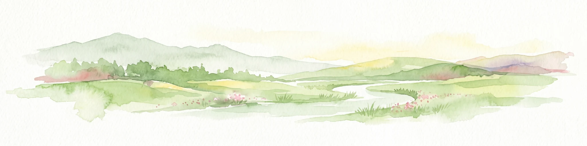
Watercolor illustration of rolling green hills, a winding river, and distant mountains with trees and grassy areas
National parkQueensland
About 55 km away#2 closest

North

Paluma Range National Park: Queensland National Park Landscape & Geography

Explore protected area boundaries and regional context.

Paluma Range National Park represents a key protected landscape within Queensland, Australia, ideal for atlas-style exploration of its natural geography. Understanding this national park involves examining its mapped boundaries and appreciating its role in the regional geographic context of northeastern Australia. This entry serves as a primary point for discovering the park's protected status and its specific landscape identity within the vast Queensland region.

Area
172 km²
Established
1994
IUCN
II
Relief
Mountain
National parkQueensland
About 64 km away#3 closest

Northeast

Pinnacles National Park: Queensland's Iconic Granite Formations and Protected Landscape

Explore mapped terrain and endangered species habitats.

Pinnacles National Park, situated in Queensland, Australia, is renowned for its spectacular granite batholith formations that create a distinctive rocky terrain. This national park, established in 2011, plays a crucial role in conserving the dry tropical woodland ecosystem and protecting species such as the Sannantha papillosa plant and the black-throated finch. Explore the mapped landscape of this significant protected area within the Hervey Range, offering a unique contrast of ancient geology and natural bushland.

Area
13.37 km²
Established
2011
IUCN
II
Relief
Mountain
A wide watercolor illustration showing green hills in the distance, a body of shallow water with pink and green patches, and foreground vegetation including green grasses and pink coral-like structures.
Marine protected areaQueensland
About 86 km away#4 closest

Northeast

Great Barrier Reef Marine Park: Atlas and Geographic Context for Queensland Protected Waters

Exploring the reef system and marine conservation zones in northeastern Australia

The Great Barrier Reef Marine Park stands as an internationally significant marine protected area. By spanning a massive stretch of the Queensland coast, this protected landscape provides a critical framework for marine governance and reef conservation. Users can examine the unique zoning and distribution of coral reef habitats that define this extensive tropical ecosystem.

Area
343,966 km²
Established
1975
Climate
Tropical
Scope
Marine
National parkQueensland
About 100 km away#5 closest

North

Halifax Bay Wetlands National Park: Queensland's Vital Spawning Grounds and Coastal Wetlands

Mapped protected boundaries and tropical wetland ecosystems.

Halifax Bay Wetlands National Park represents a crucial component of Queensland's protected areas, focusing on the conservation of coastal wetland and shallow marine habitats. This national park is renowned for its role as a primary spawning ground for numerous fish species of significant ecological and economic importance, such as barramundi. Its landscape, characterized by mangrove ecosystems and tidal flats, offers a distinct perspective on tropical coastal environments within the Australian geographic atlas. Discover the mapped extent and ecological value of this important marine conservation site.

Area
4.47 km²
Established
1994
IUCN
II
Relief
Lowland
National parkQueensland
About 101 km away#6 closest

Northeast

Bowling Green Bay National Park: Queensland National Park and Protected Landscape Atlas

Mapped geographic context and protected area information for Queensland.

Bowling Green Bay National Park represents a distinct national park entity within the northeastern Australian state of Queensland. This page provides essential geographic context, focusing on the park's mapped boundaries and its identity as a protected landscape. Understand its regional setting and contribute to a structured atlas of Australia's natural and protected areas through detailed park geography.

Area
554 km²
Established
1977
IUCN
II
Relief
Mountain
National parkAustralia
About 102 km away#7 closest

Northeast

Magnetic Island National Park: Australia's Mapped Protected Landscape and Geographic Identity

Explore the natural terrain and park boundaries of this Australian national park.

Magnetic Island National Park is an Australian protected area offering a distinct geographic perspective for atlas exploration. Delve into its mapped boundaries and unique natural landscape to understand its role within Australia's protected lands. This entry provides essential context for appreciating the park's specific terrain and its contribution to the nation's conservation geography, enhancing your understanding of Australia's diverse natural heritage.

National parkQueensland
About 109 km away#8 closest

North

Girringun National Park: Queensland Protected Area Atlas and Geographic Exploration

Discover mapped terrain and natural landscapes within northeastern Australia.

Girringun National Park stands as a significant protected landscape within Queensland, Australia, contributing to the nation's network of conservation areas. This park offers a focused lens through which to examine the geography of northeastern Australia, providing insights into its mapped boundaries and natural terrain. Users can leverage this park detail page to understand its role within the broader regional atlas and explore its distinct protected-area identity.

Area
1,538 km²
Established
1994
Relief
Mountain
Climate
Tropical
National parkQueensland
About 130 km away#9 closest

North

Orpheus Island National Park: Protected Landscape in Northeastern Australia

Explore Queensland's island geography and park boundaries.

Orpheus Island National Park serves as a significant protected area within Queensland, Australia, offering a focused entry point for atlas and geographic exploration. This national park's distinct island landscape provides context for understanding protected territories in northeastern Australia, contributing detailed mapped boundaries and regional geographic information. Users interested in Australia's protected natural areas will find this an essential component for mapping landscape distributions.

Area
13 km²
Established
1960
IUCN
II
Relief
Lowland
National parkQueensland
About 156 km away#10 closest

North

Hinchinbrook Island National Park: Queensland Protected Landscape and National Park Atlas Exploration

Mapped protected area boundaries and regional Queensland geography.

Dive into the specifics of Hinchinbrook Island National Park, a notable national park situated within Queensland, Australia. This entry focuses on its protected landscape identity, providing essential details for atlas-based exploration. Users can discover its geographic significance, understand its mapped protected area status, and gain context on its natural terrain relative to the broader Queensland region and its diverse geography.

Area
399 km²
Established
1932
IUCN
II
Relief
Mountain
National parkQueensland
About 158 km away#11 closest

Southwest

White Mountains National Park: Queensland National Park Geographic Overview and Protected Boundaries

Mapped protected area context within northeastern Australia.

Discover White Mountains National Park, a significant protected area designated as a national park within Queensland, Australia. This entry offers a focused exploration of its geographic features, mapped boundaries, and its role within the regional landscape. Users interested in the atlas representation of conservation lands and the specific geography of Australian national parks will find detailed information here, emphasizing mapped protected areas and their national park status.

Area
1,122 km²
Established
1990
IUCN
II
Relief
Mountain
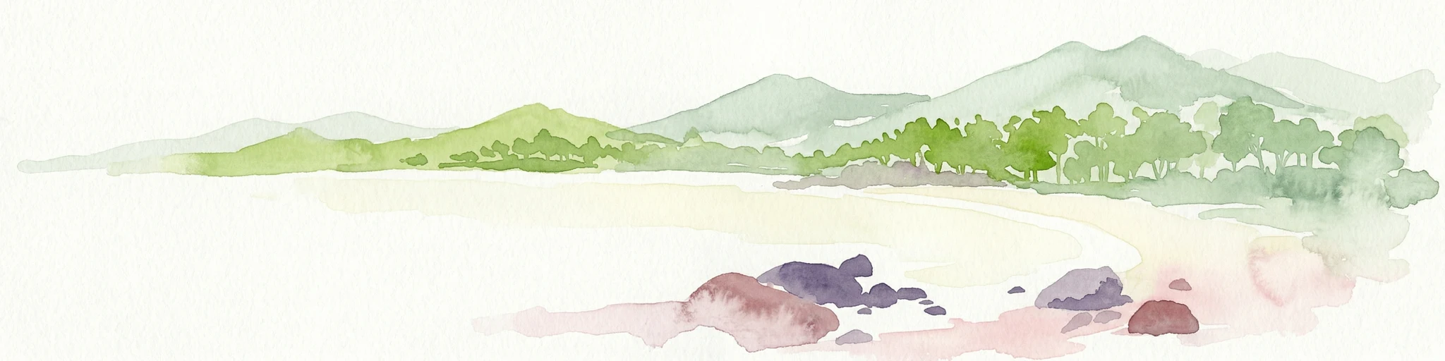
Watercolor painting showing a coastal scene with sand, rocks, green trees, and mountains in the background
National parkQueensland
About 173 km away#12 closest

East

Cape Upstart National Park: Dramatic Queensland Coastal Protected Landscape

Explore Indigenous heritage and mapped terrain of this national park.

Cape Upstart National Park is a distinguished protected area in North Queensland, notable for its spectacular coastal headland that serves as a landmark against the Coral Sea. This park is a testament to the enduring connection between Indigenous heritage and natural landscapes, holding profound cultural significance for the Juru People whose ancestral lands it encompasses. Users can explore its mapped boundaries, diverse terrain from sandstone ridges to coastal dunes, and the intersection of geological features with deep cultural narratives, making it a crucial point for understanding protected area identity and regional geography.

Area
84.8 km²
Established
1969
IUCN
II
Relief
Lowland
National parkQueensland
About 180 km away#13 closest

North

Goold Island National Park: Queensland National Park Protected Area Atlas

Explore mapped landscape and regional geographic context.

Goold Island National Park represents a significant protected landscape within Queensland, Australia, contributing to the nation's network of natural areas. This park detail page offers a structured view of its mapped boundaries and its position within the regional geography of northeastern Australia. It serves as a key entry point for understanding the park's unique protected-area identity and its contribution to the mapped natural terrain of the region.

Area
8.3 km²
IUCN
II
Climate
Tropical
Access
Moderate access
National parkQueensland
About 182 km away#14 closest

North

Brook Islands National Park: Queensland's Critically Important Seabird Habitat & Island Ecosystems

Explore mapped protected lands and tropical rainforest island ecology.

Brook Islands National Park stands as a vital protected area in Queensland, comprising three small islands dedicated to preserving critical seabird breeding habitat. The park is particularly celebrated for its immense colonies of Torresian imperial-pigeons and several tern species, showcasing a remarkable aspect of island ecology. Its lush notophyll vine forests represent a significant natural landscape, offering a distinct contrast to mainland terrain and highlighting the importance of these coastal protected lands for regional biodiversity within the Great Barrier Reef region.

Area
0.9 km²
Established
1994
IUCN
II
Relief
Lowland
National parkQueensland
About 186 km away#15 closest

West

Porcupine Gorge National Park: Protected Area Geography and Landscape Context in Queensland

Explore mapped boundaries of this Australian national park.

Porcupine Gorge National Park serves as a focal point for understanding protected landscapes within Queensland. This entry provides detailed geographic context, focusing on the park's mapped boundaries and its natural terrain. Discover its identity as a national park and its contribution to the regional geography of northeastern Australia, essential for any atlas-focused exploration.

Area
54.1 km²
Established
1970
IUCN
II
Relief
Mountain
National parkQueensland
About 188 km away#16 closest

West

Blackbraes National Park: National Park Atlas and Protected Landscape Exploration

Explore its mapped geography and regional context within Queensland.

Blackbraes National Park offers a distinct protected landscape within Queensland, Australia, inviting detailed atlas exploration. This page focuses on its specific geographic footprint and its mapped boundaries, providing structured data for understanding the park's place in the broader regional context. Discover the natural terrain and conservation significance of Blackbraes National Park, ideal for those seeking a deeper understanding of Australia's protected areas.

Area
520 km²
IUCN
II
Relief
Mixed relief
Access
Moderate access
National parkQueensland
About 190 km away#17 closest

East

Mount Aberdeen National Park: A Queensland National Park with Unique Cloud Forest and Granite Peaks

Explore mapped terrain and protected landscape context in North Queensland.

Mount Aberdeen National Park represents a significant protected landscape in Queensland, defined by its striking granite peaks and an ecologically vital tropical cloud forest. This national park covers 29.10 square kilometers, showcasing unique flora such as hoop pine forests and rare red gum-snow grass communities. Its geographical position and unusual highland environment create a distinctive natural asset within the broader regional geography, offering valuable insights into Australia's protected area network and diverse ecosystems.

Area
29.1 km²
Established
1967
IUCN
II
Relief
Mountain
National parkQueensland
About 191 km away#18 closest

Northwest

Kirrama National Park: Protected National Park in Queensland's Natural Landscape

Explore mapped boundaries and regional geography.

Kirrama National Park is a protected national park located in Queensland, Australia. This page details its specific geographic footprint and role as a preserved natural landscape. Users can explore its mapped boundaries and understand its contribution to the regional geography of northeastern Australia, providing context for atlas-based discovery of protected lands. Understand Kirrama National Park as a distinct protected area within the Australian conservation landscape.

Area
75.8 km²
Established
2006
IUCN
II
Relief
Mountain
National parkQueensland
About 193 km away#19 closest

North

Girramay National Park: Queensland Protected Landscape and Geography Exploration

Mapped park boundaries and regional context for this national park.

Girramay National Park represents a vital component of Queensland's protected natural areas. This detailed entry provides an atlas-centric view, focusing on its geographic setting, the extent of its protected boundaries, and its contribution to understanding Australia's diverse landscapes. It serves as a dedicated point for researching the park's specific geography and mapped characteristics.

Area
295 km²
Established
2007
IUCN
II
Relief
Lowland
National parkQueensland
About 196 km away#20 closest

South

Blackwood National Park: Queensland National Park Protected Landscape and Geography

Mapped protected area boundaries in northeastern Australia.

Blackwood National Park, identified as a national park, offers a distinct protected landscape within Queensland's expansive geography. This entry focuses on its specific mapped boundaries and its role as a conservation area in northeastern Australia. Users can delve into the park's geographic context, understanding its significance as part of Queensland's diverse natural heritage and contributing to a comprehensive atlas of protected lands in the region.

Area
16 km²
Established
1991
IUCN
II
Relief
Upland
Distance methodology

Geographic measurements, not driving distances

How nearby park distances are calculated

Distances use park boundaries whenever the available geometry allows it. When one or both boundaries are missing, the mapped park locations provide a clearly labelled estimate. Every value represents straight-line geographic separation and does not use roads or routing.

Boundary distance

Calculated between the nearest points of both park boundaries.

Location-to-boundary estimate

Estimated from one mapped park location to the nearest boundary of the other park.

Mapped-location estimate

Estimated between the mapped locations of both parks.

MoriAtlas Explorer

Continue Exploring Dalrymple National Park's Geographic and Landscape Context

Deepen your understanding of Dalrymple National Park by exploring its specific mapped geography and protected landscape identity. Continue this atlas-driven discovery to appreciate its regional setting within Queensland and the broader context of Australia's national parks.