Mori Atlas logo
Park earthquake history

A historical archive of seismic events mapped by epicentre proximity to the delta region

Documented Earthquake History and Recorded Seismic Activity Near the Danube Delta

This catalogue presents a curated collection of historical earthquake records associated with the geographic vicinity of the Danube Delta. Each entry provides event details including recorded magnitude, focal depth, and calculated distance from the protected area boundaries. The data offers an objective perspective on regional seismic patterns for those studying the geological context of this expansive wetland system.

Stylized illustration of a river delta landscape with mountains, green fields, and a reflective body of water under a sunset sky

Europe's second-largest and best-preserved river delta, a UNESCO World Heritage Site of wetlands, bird colonies, and intricate waterways where the Danube meets the Black Sea

Danube Delta

The Danube Delta is the second largest river delta in Europe, after the Volga Delta, and the best preserved on the continent. Located where the Danube River empties into the Black Sea, most of the delta lies in Romania's Tulcea County, with a smaller portion extending into Ukraine's Odesa Oblast. This vast wetland landscape spans approximately 4,152 square kilometers of marshes, channels, lakes, and floating reed islands, making it one of Europe's most important ecological treasures and a recognized UNESCO World Heritage Site since 1991. The delta continues to evolve and expand today, with new land forming at the distributary mouths through ongoing sediment deposition. The delta's geography is defined by three main distributary channels—the Chilia, Sulina, and Sfântu Gheorghe branches—which fan out across the low-lying terrain. The landscape is remarkably flat, with an average altitude of just 0.52 meters and roughly 20% of the territory lying below sea level. Sand dunes on the Letea and Caraorman strand plains stand as the delta's highest points, reaching up to 12 meters. The complex network of waterways, lakes, and wetlands creates a dynamic environment where freshwater meets the saline waters of the Black Sea, producing unique ecological conditions found nowhere else in Europe. What makes the Danube Delta particularly significant is its exceptional biodiversity and its role as a critical staging ground for migratory birds crossing between continents. The delta hosts over 320 bird species during the summer months, with more than one million individual birds—including swans, ducks, and coots—wintering in its sheltered waters. The region's ecological importance is further recognized through its designation as a Ramsar Wetland of International Importance and a UNESCO Biosphere Reserve shared by Romania and Ukraine.


Location
Romania
Park type
Protected area
Established
1998
Area
4,152 km²
Highest point
12 m
Danube Delta Protected Area Map

Set reported epicentres against a 6,264.03 km² water-dominated delta landscape

Investigate earthquake records around the Danube Delta

Explore earthquake reports around the Danube Delta, officially Danube Delta Biosphere Reserve, a 6,264.03 km² mixed lowland landscape dominated by water across wetlands, rivers, lakes, dunes, beach, forest and grassland; compare date, magnitude, depth and boundary distance. Proximity does not prove reserve occurrence, delta impacts, present danger, seismic cause or future activity.

Sort by
Magnitude
Location

This page describes catalogued earthquakes associated with the park by epicentre location and distance. It does not establish causation, assess current danger, or predict future earthquakes.

No earthquake records match the current filters

Park atlas

Expand discovery beyond the Danube Delta earthquake catalogue

Find more protected park destinations beyond Danube Delta

The Danube Delta Biosphere Reserve spans 4,152 km² of Romanian wetlands, rivers, lakes, dunes, beaches, forest, and grassland. Related park links support comparison of independent seismic histories without transferring delta impacts, exposure, hazard, or future expectations.
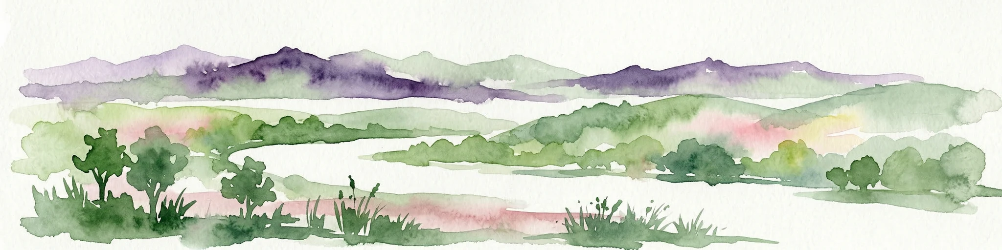
Watercolor painting showing mountains, green fields, and trees in a landscape
Protected areaTulcea County
About 66 km away#1 closest

West

Măcin Mountains Protected Area: Geographic Atlas and Landscape Context

Explore mapped boundaries and regional geography

Delve into the Măcin Mountains, a protected area located in Tulcea County. This detailed entry provides essential geographic information, focusing on its mapped boundaries and the surrounding natural landscape. MoriAtlas offers a structured approach to understanding this protected land's position within the regional geography, empowering users to explore its unique characteristics through a lens of atlas-driven discovery and conservation context.

Area
113.21 km²
IUCN
II
Relief
Mountain
Climate
Temperate
National parkBilhorod-Dnistrovskyi Raion
About 76 km away#2 closest

Northeast

Tuzly Lagoons National Nature Park: National Park Atlas and Geographic Context

Mapped protected landscape within Bilhorod-Dnistrovskyi Raion, Ukraine.

Navigate the protected landscape of Tuzly Lagoons National Nature Park through a detailed geographic lens. This national park entry within MoriAtlas provides structured information on its mapped boundaries and regional context within Bilhorod-Dnistrovskyi Raion, part of Ukraine's Bessarabia region. Understand its position and significance as a protected natural area, facilitating a deeper exploration of its geographical attributes and its place in the broader atlas of Ukrainian protected lands.

Area
278.65 km²
Established
2010
IUCN
II
Relief
Lowland
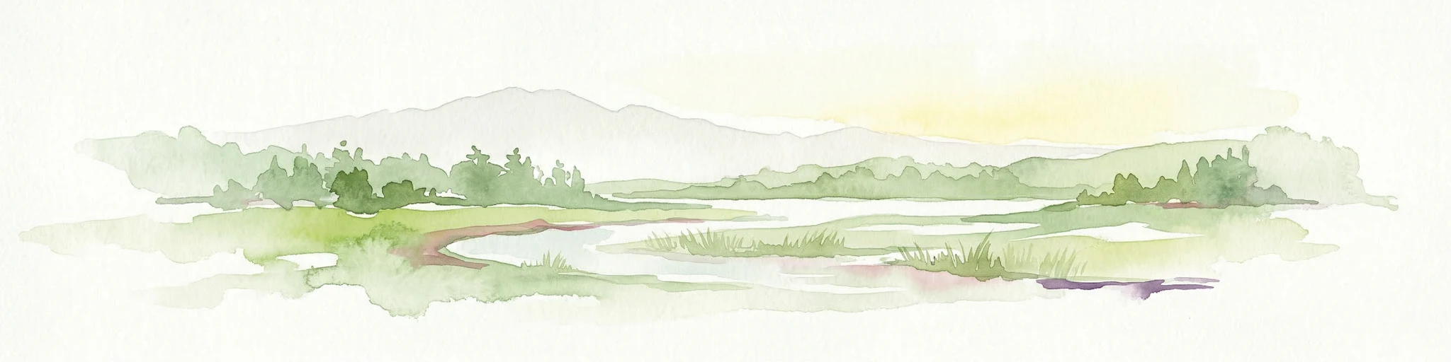
Watercolor illustration of a wetland landscape with lakes, reeds, and distant mountains under a light sky
Protected landscapeBrăila County
About 97 km away#3 closest

West

Balta Mică a Brăilei Natural Park: Protected Landscape & Lower Danube Wetland Geography

Discover mapped boundaries and critical waterfowl habitats.

Balta Mică a Brăilei Natural Park is a vital protected landscape located in Brăila County, Romania, recognized for its extensive wetland ecosystems and importance for migratory bird populations. Situated within the Lower Danube floodplain, this park serves as a critical habitat and staging area for waterfowl traveling along major flyways. Its designation as a protected landscape highlights its significance for conservation and offers users a rich opportunity for geographic discovery, focusing on its unique riparian and steppe landscape interface, mapped terrain, and ecological value within the regional context.

Area
175.29 km²
Established
2000
IUCN
V
Relief
Lowland
Watercolor painting of a river flowing through a wetland with green hills and distant mountains
Protected landscapeGalați County
About 128 km away#4 closest

Northwest

Lunca Joasă a Prutului Inferior Natural Park: Protected Landscape Atlas and Geographic Context

Explore its wetland terrain and mapped protected area boundaries.

Lunca Joasă a Prutului Inferior Natural Park is a crucial protected landscape within Galați County, Romania, recognized for its extensive wetland ecosystems and role as a vital bird migration hub. This atlas-focused entry details the park's mapped geography, showcasing its complex network of lakes, canals, and floodplains, and its significant habitats that support exceptional biodiversity along major European flyways.

Area
82.47 km²
Established
2005
IUCN
V
Relief
Lowland
Watercolor illustration of a landscape with hills, a river, and green vegetation
National parkOdesa Oblast
About 146 km away#5 closest

North

Lower Dniester National Nature Park: National Park Map and Protected Landscape Atlas

Explore Odesa Oblast's protected natural geography and park boundaries.

The Lower Dniester National Nature Park is a vital component of Ukraine's protected lands, situated within the expansive Odesa Oblast. This page offers detailed geographic context, focusing on the park's mapped boundaries and its contribution to the regional landscape. Dive into an atlas-style exploration that highlights the park's protected terrain and its significance within the natural geography of southwestern Ukraine, offering structured discovery beyond basic park facts.

Area
213 km²
Established
2008
IUCN
II
Relief
Lowland
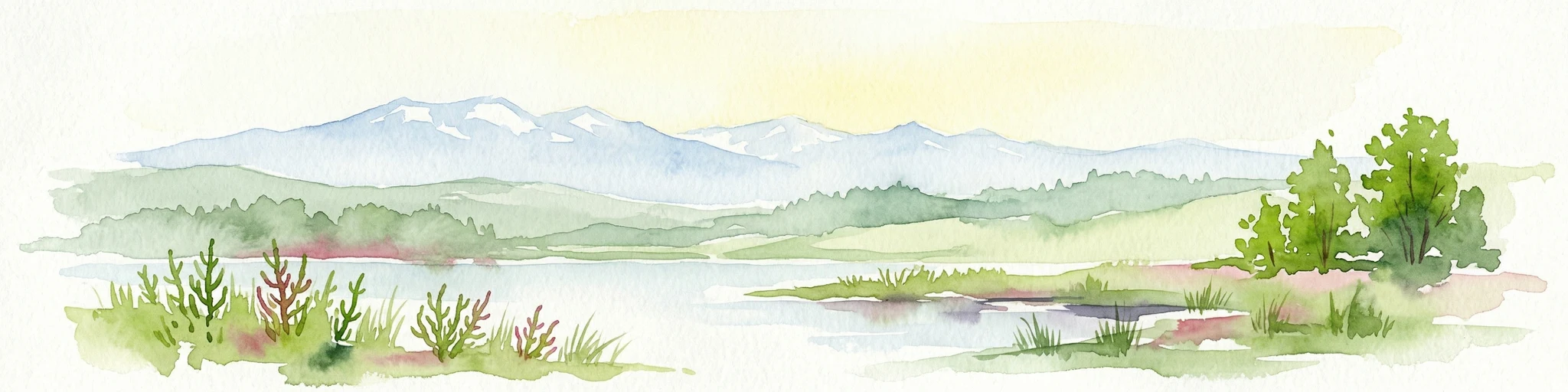
Watercolor painting showing a river, green vegetation, trees, and distant snow-capped mountains under a light sky
National parkMykolaiv Oblast
About 213 km away#6 closest

Northeast

Ivory Coast of Sviatoslav National Nature Park: National Park Identity and Regional Geography

Mapped protected area in Mykolaiv Oblast, Ukraine.

Gain a structured understanding of Ivory Coast of Sviatoslav National Nature Park, a designated national park in the Mykolaiv Oblast region of Ukraine. This entry focuses on its protected landscape identity and its position within the broader regional geography. Explore the mapped outlines and discover its significance as a key protected territory for atlas-based research and geographic context.

Area
352 km²
Established
2009
IUCN
II
Relief
Lowland
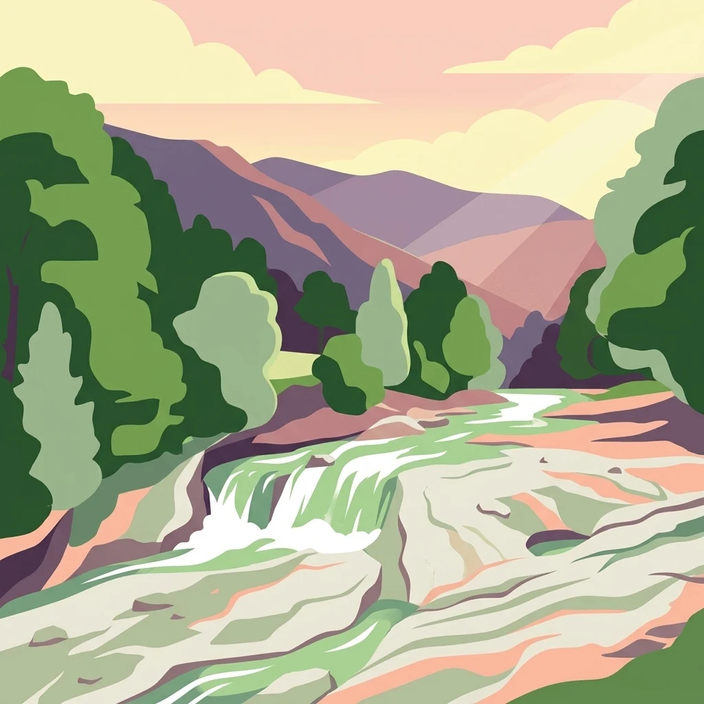
Illustration of a waterfall surrounded by trees with mountains in the background
Protected landscapeVrancea County
About 219 km away#7 closest

West

Putna-Vrancea Natural Park: A Protected Landscape in Vrancea County's Carpathian Mountains

Explore mapped terrain, natural park boundaries, and regional geography.

Putna-Vrancea Natural Park, designated as a protected landscape, offers detailed geographic insights into the Vrancea Mountains in Romania. Users can explore the park's mapped terrain, understand its protected boundaries, and contextualize its natural park status within Vrancea County and the broader Eastern Carpathians region. This atlas-focused view highlights the unique landscape features and regional geographic significance of this Romanian protected area.

Area
302.04 km²
Established
2005
IUCN
V
Relief
Mountain
Watercolor illustration of a winding river through a landscape with hills and trees
National parkOrhei District
229 km away#8 closest

North

Orhei National Park: Explore Moldova's Inaugural National Park Landscape

Mapped protected boundaries and regional geography in Orhei District.

As Moldova's first national park, Orhei National Park offers a rich exploration of the Codri region's characteristic hilly terrain and extensive deciduous forests. Situated within Orhei District, this protected area encompasses the meandering Răut River valley and notable landscape reserves. Its designation highlights a crucial commitment to preserving both the natural beauty and the significant cultural heritage, including the UNESCO candidate site of Old Orhei, making it a key destination for understanding Moldova's protected lands and regional geography.

Area
337.92 km²
Established
2013
IUCN
II
Relief
Highland
MoriAtlas Explorer

Continue Your Atlas Exploration of Danube Delta's Protected Landscape and Regional Geography

Delve deeper into the mapped geography and protected area boundaries of the Danube Delta. Understanding its intricate wetland landscape and its position within the broader regional atlas provides essential context for appreciating this vital European ecological treasure. Use MoriAtlas to explore the full scope of its unique terrain and protected land identity.

Global natural geography