Mori Atlas logo
Nearby park discovery

Geographic discovery of protected natural areas and forest landscapes in the surrounding region.

Parks near Foreste Casentinesi, Monte Falterona, Campigna National Park

Compare protected areas near Foreste Casentinesi, Monte Falterona, Campigna National Park, ordered by geographic distance. They include Riserva di Alfonsine and Appennino Tosco-Emiliano.

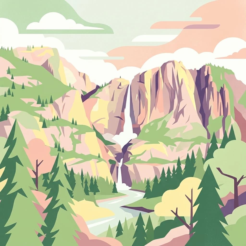
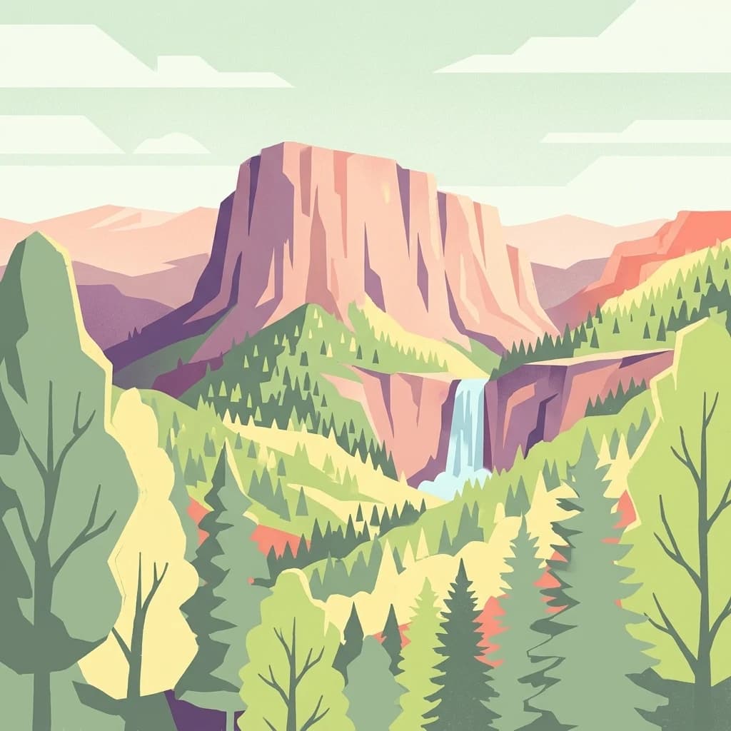
Stylized illustration of a mountainous landscape with a waterfall, dense forests, and rocky cliffs

Italy's premier ancient beech forest reserve on the Tuscan-Romagnolo Apennines

Foreste Casentinesi, Monte Falterona, Campigna National Park

Foreste Casentinesi, Monte Falterona, Campigna National Park is a protected area spanning approximately 368 square kilometres along the Apennine watershed between the Italian regions of Emilia-Romagna and Tuscany. Established in 1993, the park encompasses some of the most pristine and ecologically significant forests in Europe, protecting a landscape of dramatic mountain ridges, steep Romagna-side valleys, and the more gradual slopes of the Casentino area. The park is distinguished by its extraordinary biodiversity, with roughly 80 percent of its territory covered by woodland, making it one of the most heavily forested protected areas in Italy. Its significance extends beyond national boundaries, as the Sasso Fratino Integral Reserve within the park was inscribed as a UNESCO World Heritage Site in 2017 as part of the transboundary listing of Ancient and Primeval Beech Forests of the Carpathians and Other Regions of Europe, recognizing the ancient beech forests as outstanding examples of Europe's natural heritage.

Location
Italy
Park type
National park
Established
1993
Area
368 km²
Highest point
1,658 m
Foreste Casentinesi, Monte Falterona, Campigna National Park Atlas
Regional park map

See the ranked park cluster in its geographic setting

Nearby parks around Foreste Casentinesi, Monte Falterona, Campigna National Park

This regional map shows the same 20 nearby parks ranked below around Foreste Casentinesi, Monte Falterona, Campigna National Park. Select a ranked marker to highlight that park’s boundary where boundary data is available.
Reference park: Foreste Casentinesi, Monte Falterona, Campigna National ParkRanked nearby parkSelected boundary: Foreste Casentinesi, Monte Falterona, Campigna National Park20 nearby parks shown
20 nearby parks

Geographic proximity and regional landscape comparisons across surrounding protected territories

Ranked Protected Areas Near Foreste Casentinesi, Monte Falterona, Campigna National Park

Nearby protected areas are ordered by spatial separation from Foreste Casentinesi, Monte Falterona, Campigna National Park to establish structured regional comparisons. Reviewing surrounding park geography and recorded environmental traits provides clear context for evaluating broader conservation landscapes.
Nature reserveEmilia-Romagna
About 59 km away#1 closest

North

Riserva naturale speciale di Alfonsine: Protected Wetlands and Forest Oases

Regional nature reserve in the Emilia-Romagna lowlands

This reserve comprises three separate oases that protect remnants of rare lowland wetlands. Featuring a mixture of marshy pond basins, canal corridors, and flooded forests, the site provides a sanctuary for waterbirds and the European pond terrapin. The area represents a focused effort to conserve aquatic habitats and riparian woodlands nestled within the wider agricultural plains of northern Italy.

Area
0.12 km²
Established
1990
Watercolor painting of rolling green hills under a sunset sky with soft color transitions
National parkEmilia-Romagna
95 km away#2 closest

Northwest

Appennino Tosco-Emiliano National Park

Discover the mapped landscape and regional context of this protected area.

Appennino Tosco-Emiliano National Park, in Emilia-Romagna, Italy. Landscapes: mountains, valleys, and cliffs.

Area
227.92 km²
Established
2001
IUCN
II
Relief
Mountain
A watercolor illustration of rolling hills with gypsum rock outcrops and flowering shrubs in the foreground.
Biosphere reserveEmilia-Romagna
About 107 km away#3 closest

Northwest

Carsismo e grotte evaporitiche dell'Appennino settentrionale Protected Geological Reserve

Evaporite karst landscapes within the Emilia-Romagna region.

Spanning across northern Italy, this site features a dense concentration of gypsum caves and sculpted karst terrain. It stands as a premier example of evaporite geomorphology, with record-breaking cave depths and diverse formations that offer a deep look into the geological history of the northern Apennines.

Established
2023
Relief
Mountain
Scope
Terrestrial
Water
Minor water
Marine protected areaFrance
109 km away#4 closest

West

Sanctuaire Pelagos Marine Protected Area: Mediterranean Geography and Seascape

A transboundary conservation zone spanning 87,500 square kilometers.

Sanctuaire Pelagos represents a unique collaborative effort in marine conservation across the Mediterranean. Spanning the waters between France, Italy, and Monaco, this protected maritime area is defined by its deep-sea canyons and nutrient-rich currents that sustain diverse cetacean populations. Its immense scale and international governance make it a focal point for understanding Mediterranean marine biodiversity and environmental policy.

Area
87,500 km²
Established
1999
IUCN
IV
Relief
Lowland
Watercolor painting of a mountainous landscape with green and yellow terrain, distant mountains, and forests
National parkMarche
117 km away#5 closest

Southeast

Monti Sibillini National Park

Explore protected landscape boundaries and terrain.

Monti Sibillini National Park, in Marche, Italy. Landscapes: mountains, valleys, and lakes.

Area
697.22 km²
Established
1993
IUCN
II
Relief
Mountain
A wide, panoramic watercolor illustration depicting a serene wetland scene with a calm lake, foreground reeds and grasses, midground trees, and distant purple hills under a pale sky.
Nature reserveUmbria
About 122 km away#6 closest

South

Oasi naturalistica Lago di Alviano: Protected Wetland Landscapes and River Geography

A vital nature reserve in the Tiber Valley region of Umbria

Discover the unique wetland geography of Oasi naturalistica Lago di Alviano, where marshy river basins meet extensive hygrophilous forest corridors. This reserve serves as a critical node in central Italy for migratory waterbird habitats, showcasing the natural transition between riparian woodland and shallow aquatic ecosystems within the broader Tiber Valley protected network.

Area
9 km²
Established
1990
Scope
Terrestrial
Water
Major water bodies
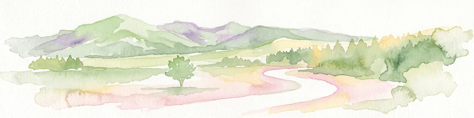
Watercolor illustration of stylized rolling green mountains and a treeline in shades of green, pink, and soft yellow.
Nature reserveEmilia-Romagna
140 km away#7 closest

Northwest

Monte Prinzera Nature Reserve: Emilia-Romagna Protected Ophiolite and Geological Atlas

Ancient oceanic crust and rare ecological habitats

Monte Prinzera represents a singular geological anomaly in the Apennine foothills, characterized by its deep rust-red color and specialized dry Mediterranean vegetation. As the only protected ophiolite site in Emilia-Romagna, the reserve offers essential insight into ultramafic ecology, hosting a mosaic of mixed deciduous woodlands and xerophilous grasslands that support unique populations of birds, bats, and mammals.

Established
1990
Relief
Mountain
Scope
Terrestrial
Water
Minor water
A stylized illustration of a coastal landscape with rocky green mountains rising from calm teal water, featuring pine trees near a small sandy beach.
National parkTuscany
141 km away#8 closest

Southwest

Arcipelago Toscano National Park

Explore Tuscany's unique archipelago geography and protected natural terrain.

Arcipelago Toscano National Park, in Tuscany, Italy. Landscapes: mountains, cliffs, and islands.

Area
746.63 km²
Established
1996
IUCN
II
Relief
Mixed relief
Nature reserveEmilia-Romagna
About 146 km away#9 closest

Northwest

Riserva naturale di Torrile e Trecasali: Protected Wetland Geography in Emilia-Romagna

A regional nature reserve and migratory bird sanctuary

Located in the lowlands of the Po Valley, Riserva naturale di Torrile e Trecasali protects a concentrated variety of freshwater habitats. From reed-fringed canals to seasonal flood meadows, this site provides essential mapping context for understanding lowland riparian corridors and their role in regional biodiversity within northern Italy.

Area
1.09 km²
Established
2010
IUCN
IV
Watercolor painting of mountains, green valleys, and a river
National parkItaly
151 km away#10 closest

Southeast

Gran Sasso and Monti della Laga National Park

Mapped protected areas and regional natural landscape details.

Gran Sasso and Monti della Laga National Park, in Italy.

IUCN
II
Watercolor illustration of a mountainous coastal landscape with green vegetation and a body of water
National parkLiguria
About 159 km away#11 closest

West

Cinque Terre National Park

Explore its regional context in Liguria, Italy.

Cinque Terre National Park, in Liguria, Italy. Landscapes: mountains, coasts, and beaches.

Area
22 km²
Established
1999
IUCN
V
Relief
Mountain
Watercolor painting of coastal landscape with green islands, trees, and calm water under a soft sky
National parkCroatia
184 km away#12 closest

Northeast

Brijuni Islands National Park

Mapped boundaries, regional geography, and ecological context.

Brijuni Islands National Park, in Croatia. Landscapes: islands, forests, and wetlands.

Area
7.5 km²
Established
1983
IUCN
II
Relief
Lowland
A flat-style digital illustration showing a tiered waterfall flowing down a rocky mountain face, surrounded by stylized coniferous forests and a winding river.
Biosphere reserveVeneto
About 204 km away#13 closest

North

Monte Grappa Biosphere Reserve: A Geographic and Historical Protected Area

Tracing the ecological mosaic of the Venetian Prealps

Monte Grappa provides a rare geographic study of an uplifted limestone massif in northeastern Italy. Recognized as a UNESCO Biosphere Reserve, it compresses diverse habitats, from Mediterranean broadleaf forests to subalpine ridges, within a singular mountain structure. This atlas entry details the natural terrain, regional boundaries, and memorial landscapes that define this significant Venetian protected area.

Established
2021
Relief
Mountain
Climate
Temperate
Access
Access unknown
A soft watercolor painting of a wetland landscape with distant rolling hills, green grassy banks, and a calm water surface, rendered in a muted palette.
Nature reserveTrentino
211 km away#14 closest

North

Lago di Loppio Nature Reserve: A Protected Wetland and Archaeological Landscape in Trentino

Mapping the ecological intersection of wetlands and historical island sites.

Lago di Loppio functions as a critical provincial biotope, blending rare marshland ecology with a deep historical footprint on the Island of Sant'Andrea. Situated within a depression in the Adige valley, this protected area features a unique transitional microclimate that supports diverse flora and fauna, alongside ruins spanning Roman to medieval eras.

Area
1.126 km²
Established
1987
Relief
Upland
Climate
Temperate
An illustration of a hillside trail surrounded by trees and ferns, with craggy mountain peaks in the background under a soft sunrise or sunset sky.
Nature reserveTrentino-Alto Adige
About 215 km away#15 closest

North

Biotopo Monte Brione: Protected Nature Reserve and Mediterranean Landscape Map

Exploring the limestone ecology of northern Italy

Biotopo Monte Brione stands as a remarkable protected area where southern European vegetation, including holm oaks and Phoenician juniper, flourishes against a backdrop of sun-exposed limestone cliffs. Situated as a natural buffer near Lake Garda, this reserve offers a deep look into the intersection of Mediterranean floral diversity and Alpine geographic settings, providing a essential refuge for protected raptors and rare invertebrate species.

Area
0.663 km²
Established
1992
IUCN
IV
A soft watercolor painting of a tranquil lake surrounded by gentle, rolling green hills and wetland vegetation.
Nature reserveTrentino-Alto Adige
219 km away#16 closest

North

Lago d'Ampola: Mapping the Ecology of a Glacial Nature Reserve in Trentino

A critical protected wetland and montane biotope

Lago d'Ampola preserves a remarkably layered habitat of glacial origin, where water lilies, marsh vegetation, and spruce-beech forests converge. This protected site in Trentino-Alto Adige offers a focused look at the intersection of glacial geography and successful ecosystem recovery in an Alpine valley setting.

Area
0.5 km²
Established
1990
Relief
Mountain
Climate
Alpine
Watercolor illustration showing a mountainous landscape with a waterfall, green hills, and layered colors
National parkProvince of Belluno
223 km away#17 closest

North

Dolomiti Bellunesi National Park

Explore mapped boundaries and regional geography

Dolomiti Bellunesi National Park, in Province of Belluno, Italy. Landscapes: mountains, valleys, and cliffs.

Area
32 km²
Established
1988
IUCN
II
Relief
Mountain
Soft watercolor painting of layered green hills and distant mountain ranges with a hazy, light-filled sky.
Nature reserveTrentino-Alto Adige
About 225 km away#18 closest

North

Biotopo Marocche di Dro: Geologic Protected Landscape in Trentino-Alto Adige

Discover the massive postglacial rockfall deposits of northern Italy.

Biotopo Marocche di Dro is a protected nature reserve defined by its expansive, boulder-strewn arid surface and exceptional postglacial rockslide deposits. Unlike typical wetland biotopes, this site provides a rare, sun-exposed habitat for reptile-rich fauna and unique plant communities within the broader Trentino landscape, offering a window into the dramatic geological transformations that have shaped the valley floor.

Area
2.508 km²
Established
1989
IUCN
IV
Watercolor illustration of a mountain landscape with rolling green hills, a winding stream, and trees, depicted in a soft, impressionistic style on a white background.
Nature reserveTrentino-Alto Adige
226 km away#19 closest

North

Torbiera delle Viote Nature Reserve: Alpine Wetland Plateau Geography and Protected Boundaries

A high-elevation peat bog enclave within the Monte Bondone mountain landscape

Situated on the Piana delle Viote in the Trentino-Alto Adige region, this nature reserve protects a rare alpine peat bog ecosystem. The site functions as a unique wetland basin framed by dense conifer forests, offering significant insight into high-altitude hydrology, amphibian habitats, and the specific terrain features that define this protected mountain landscape.

Area
0.13 km²
Established
2003
Nature reserveTrentino-Alto Adige
About 226 km away#20 closest

North

Biotopo Lomasona Nature Reserve: Protected Landscapes and Alpine Geography in Trentino

A small-scale conservation area in the heart of Val Lomasona

Biotopo Lomasona stands as a specialized nature reserve in the Italian Province of Trento. This compact protected area focuses on habitat conservation within the alpine terrain, serving as an important ecological anchor in the valley landscape of Comano Terme and the wider Trentino-Alto Adige region.

Area
0.26 km²
Established
1987
IUCN
IV
Distance methodology

Geographic measurements, not driving distances

How nearby park distances are calculated

Distances use park boundaries whenever the available geometry allows it. When one or both boundaries are missing, the mapped park locations provide a clearly labelled estimate. Every value represents straight-line geographic separation and does not use roads or routing.

Boundary distance

Calculated between the nearest points of both park boundaries.

Location-to-boundary estimate

Estimated from one mapped park location to the nearest boundary of the other park.

Mapped-location estimate

Estimated between the mapped locations of both parks.

MoriAtlas Explorer

Foreste Casentinesi, Monte Falterona, Campigna National Park

Explore the map, landscapes, and protection details for Foreste Casentinesi, Monte Falterona, Campigna National Park.