Mori Atlas logo
National parkHarz National Park

Navigate the geographic boundaries and unique terrain of this significant German National Park.

Harz National Park: A Mapped Protected Landscape of Lower Saxony's Mountains

(Nationalpark Harz)

Harz National Park represents a crucial protected landscape within Germany's northern medium-high mountain range, located in Lower Saxony. This detailed atlas entry provides users with comprehensive geographic context, enabling exploration of its mapped boundaries, regional distribution, and the characteristic mountain terrain. Discover the park's unique ecosystem, from its extensive forests to its alpine bogs and granite outcrops, all situated within the wider geographical setting of Lower Saxony.

national parkforest reservemountain landscaperaised bogsLynx reintroductionGerman protected area
Illustration of a mountain stream surrounded by pine trees and rocky outcrops with distant peaks under a partly cloudy sky

Harz National Park

National park

Park overview

Structured park overview, official facts, and landscape profile for Harz National Park

Harz National Park park facts, protected area profile, and essential visitor context
Review the core facts for Harz National Park, including designation, size, terrain, visitor scale, habitats, and operating context in one park-focused overview.

About Harz National Park

Harz National Park represents one of Germany's most important conservation areas, protecting a mountainous landscape that has been shaped by both natural processes and centuries of human activity. The park covers roughly ten percent of the entire Harz mountain range, extending from Wernigerode and Ilsenburg in the north to Herzberg and Bad Lauterberg in the south. The landscape is dominated by forests, with Norway spruce plantations covering approximately 82 percent of the woodland area, while European beech accounts for just 12 percent. This forest composition reflects historical human intervention, as the Harz was partially deforested during the 18th century for ore mining, leading to extensive reforestation with fast-growing spruce monocultures. The park encompasses multiple vegetation zones that change with elevation, from submontane beech forests through montane spruce-beech mixed woodland to sub-alpine dwarf shrub heaths and raised bogs above 1,050 metres. The highest peaks, including Brocken, Bruchberg, and Achtermann, rise above the tree line into heath-dominated terrain. Several rivers have their sources within the park boundaries, including the Bode, Oder, and Ilse, which flow outward to join larger river systems. The park is part of the European Natura 2000 network and is managed by the Nationalparkverwaltung Harz, headquartered in Wernigerode with an additional outpost in Sankt Andreasberg.

Quick facts and research context for Harz National Park

Harz National Park covers 247 km² of the Harz Mountains in central Germany, protecting one of the country's most significant forested landscapes. The park straddles the border between Lower Saxony and Saxony-Anhalt, with its headquarters in Wernigerode. Elevation ranges from 230 metres in the northern lowlands to 1,141 metres at the Brocken summit. The park is part of Natura 2000 and is managed as a developing national park, with approximately 70 percent designated as core nature development zone. Key rivers originating within the park include the Bode, Oder, and Ilse. The park employs around 160 staff including rangers who conduct guided tours and environmental education programs.

Park context

Deeper park guide and search-rich context for Harz National Park

Harz National Park history, landscape, wildlife, and travel context
Explore Harz National Park through its history, landscape character, ecosystems, wildlife, conservation priorities, cultural context, and seasonal travel timing in a structured park guide built for atlas discovery and search intent.

Why Harz National Park stands out

Harz National Park is best known for its successful Eurasian lynx reintroduction program, which began in 1999 after the species had been eradicated from the mountains in 1818. The park is also renowned for its extensive spruce-dominated forests, significant raised bogs of international importance, and the dramatic Brocken plateau with its tundra-like heath vegetation. The Brocken anemone, a plant species found only on this mountain in Germany, grows in the park's sub-alpine zone. The park's history as a restricted area during the Cold War, when the inner German border ran through the Harz, contributed to its ecological preservation.

Dead spruce tree trunks standing among green regenerating forest under a blue sky with light clouds
Dead spruce trees and regenerating forest under a blue sky in Harz National Park

Harz National Park history and protected-area timeline

The current Harz National Park was created on January 1, 2006, through the merger of two previously separate protected areas: the Harz National Park in Lower Saxony (established January 1, 1994) and the Upper Harz National Park in Saxony-Anhalt (established October 1, 1990). The Upper Harz National Park was established just two days before German reunification as part of the GDR's national park programme, based on a ministerial decision by the East German government. This timing was significant, as the region's location immediately adjacent to the former inner German border had created a long-standing prohibited zone that remained largely untouched for decades. During the DDR era, the Brocken was accessible with a permit until August 13, 1961, when it became a restricted military area. The ecological problems that emerged in the mid-1980s, including bark beetle and fungal infestations, actually provided impetus for the establishment of the national park during the reunification period. The Lower Saxon portion was founded by Dr. Wolf-Eberhard Barth after four years of preparation. Although discussions about a combined park began soon after reunification, it took another twelve years to achieve the merger. The park belongs to the EUROPARC Federation, a European umbrella organization for national parks and nature reserves, and was included in the European Charter for Sustainable Tourism in Protected Areas in 2005.

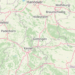
Harz National Park landscape and geographic character

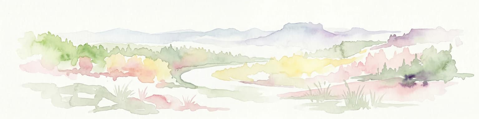
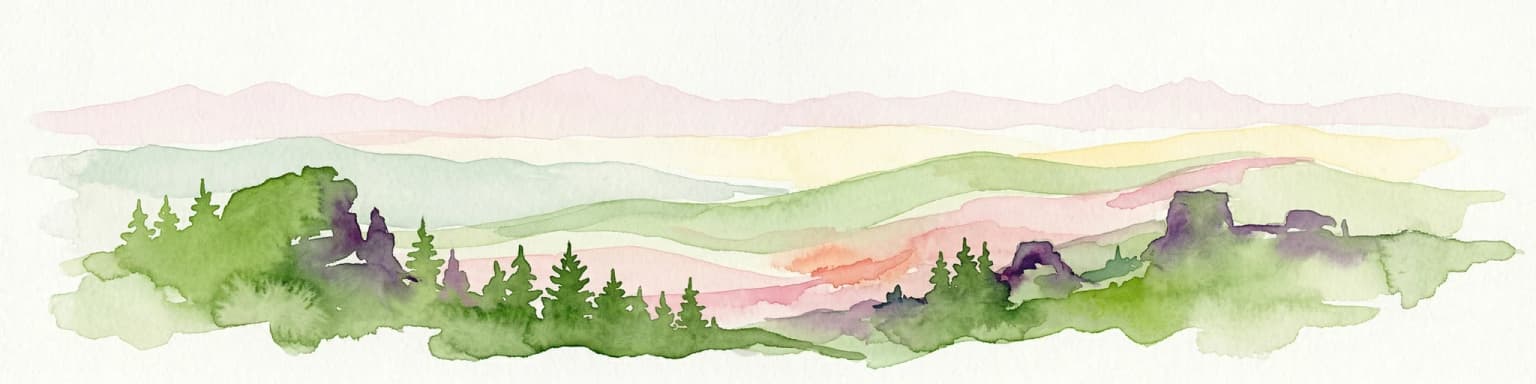
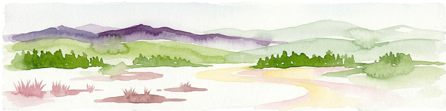
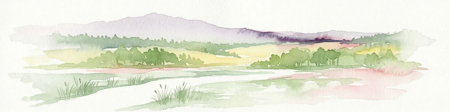
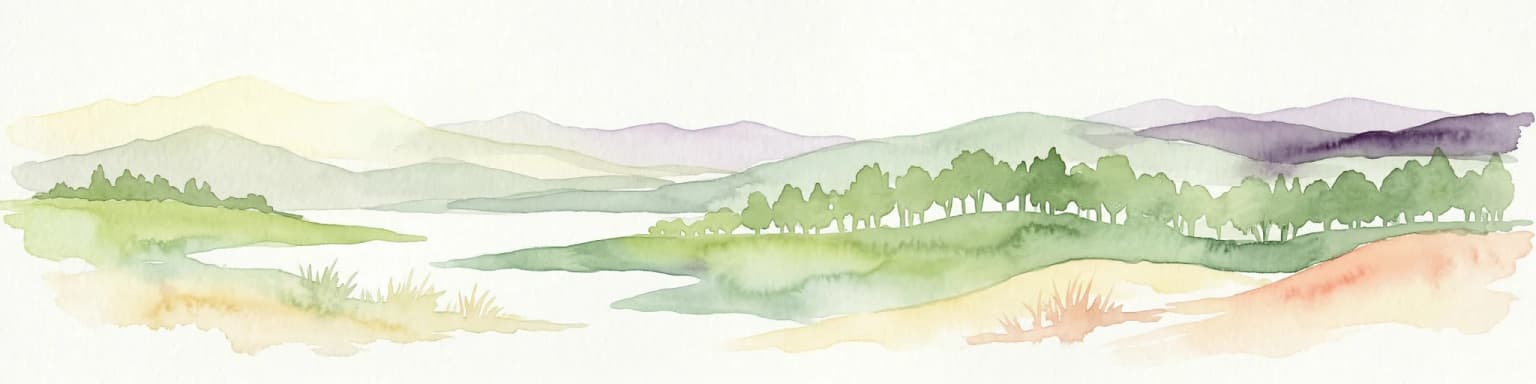
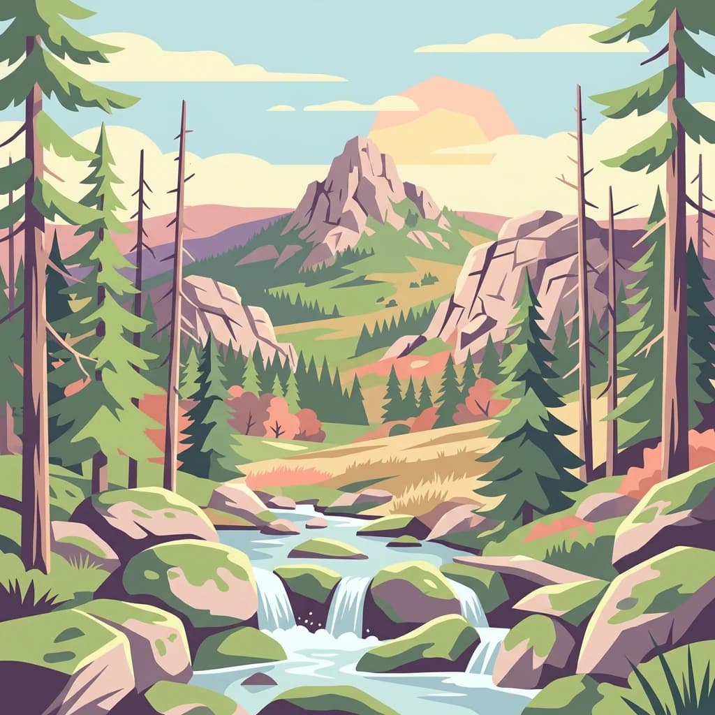
The Harz National Park encompasses the rugged, forested landscape of the western Harz Mountains, Germany's northernmost medium-high mountain range. The terrain rises from approximately 230 metres above sea level in the northern perimeter to 1,141.1 metres at the summit of Brocken, the range's highest peak. The landscape is characterized by rounded mountain ridges, deep valleys carved by glacial action, and extensive forests covering nearly the entire area. Granite outcrops and rock formations punctuate the forest, particularly at higher elevations where the terrain becomes more exposed. Several significant rivers originate within the park, including the Bode, Oder, and Ilse, each fed by numerous smaller streams descending from the upland areas. The Oder flows through the historic Oderteich reservoir, completed in 1722 to supply mining operations in Sankt Andreasberg, and now feeds the Oder Dam on the southeastern edge of the park. Other water bodies within the park include the Ecker Dam and Silberteich. The highest elevations feature exposed granite plateaus and boulder fields, with the Brocken plateau displaying tundra-like vegetation adapted to the harsh, foggy conditions. The landscape around Torfhaus and Schierke offers particularly dramatic views across the open heath and bog landscapes of the high Harz.

A mountain stream with rocks and moss flowing through a forested area featuring tall trees and a wooden bridge
Mountain stream flowing through a forested area in Harz National Park with a wooden bridge in the background

Harz National Park ecosystems, habitats, and plant life

The ecological character of Harz National Park is defined by its extensive forests, significant raised bogs, and the vertical zonation of vegetation across the mountain slopes. Approximately 82 percent of the forest consists of Norway spruce plantations, a legacy of 18th-century reforestation efforts following deforestation for mining. European beech dominates only below 600 metres elevation, with the most common forest type being the Hainsimsen beech forest on acidic soils. Above 1,050 metres, the sub-alpine zone features the spruce 'battle zone' at the tree line, where trees over 250 years old are shaped into bizarre forms by wind. Here, dwarf shrub heaths and raised bogs (Hochmoore) become the predominant vegetation. These raised bogs are of international significance due to their distinctive character and specialized flora, representing some of the least human-impacted bogs in Germany. The Brocken plateau supports unique plant communities, including the Brocken anemone (Pulsatilla alpina subsp. alba), which occurs in Germany only on this mountain. The park's vegetation zones progress from submontane beech forests through montane mixed woodland to highmontane spruce forest and sub-alpine heath and bog, reflecting the decreasing temperatures and increasing precipitation at higher elevations.

Forest trail with stone steps, wooden railings, and large boulders surrounded by trees and vegetation
Eckerlochstieg trail with stone steps and wooden railings in Harz National Park

Harz National Park wildlife and species highlights

Harz National Park is home to several notable wildlife species, most prominently the Eurasian lynx, which has been successfully reintroduced since 1999 after being eradicated from the mountains in 1818. Between 2000 and 2007, 24 lynx were released from zoo breeding programmes, and since 2002, multiple instances of wild-born kittens have been recorded. A viewing enclosure near the Rabenklippe forest restaurant allows visitors to observe these shy predators. The European wildcat has established one of its most significant German populations within the park, classified as seriously endangered at the federal level, with evidence of a stable population throughout the region. Other notable species include the black stork, white-throated dipper, and peregrine falcon, each adapted to the park's forest and water habitats. A previous reintroduction effort for the western capercaillie, which became extinct in the Harz between 1920 and 1930, began in 1978 but was discontinued in 2003 due to lack of success. Red deer and roe deer are common throughout the park, while invasive species include the raccoon and occasional raccoon dog. The mouflon, introduced for hunting in the 1930s, also persists in the park.

Landscape view showing forested hills, rocky formations, and distant mountains under a partly cloudy sky
Panoramic view of Harz National Park mountains with forested hills and rocky outcrops

Harz National Park conservation status and protection priorities

Harz National Park is recognized by the IUCN as a Category II protected area and forms part of the European Union's Natura 2000 network. The park functions as a developing national park, with approximately 70 percent of its area currently designated as a nature development zone (core zone), working toward the 75 percent threshold required for full national park status. The park's conservation significance is bolstered by its extensive raised bogs of international importance, its role as a stronghold for the endangered European wildcat, and its successful lynx reintroduction programme. The park belongs to the EUROPARC Federation and received recognition through inclusion in the European Charter for Sustainable Tourism in Protected Areas in 2005. Conservation challenges include managing bark beetle outbreaks exacerbated by climate change, restoring native beech and maple woodlands in areas where non-native spruce has dominated, and balancing visitor use with habitat protection. The National Park Service is actively working to transition former spruce monocultures toward more diverse, native forest communities that are better adapted to changing climatic conditions.

Harz National Park cultural meaning and human context

The Harz region has a long history of human settlement and resource use that has shaped its cultural landscape. The mountains were extensively mined for ores, particularly silver and other metals, from the medieval period through the 19th century, which contributed to the partial deforestation that led to the spruce plantations. The historic Oderteich reservoir, built in 1722, exemplifies the Upper Harz water management system that supported mining operations. The former inner German border ran directly through the Harz, creating a restricted zone that inadvertently preserved large areas from development. The Brocken itself became a military restricted area during the DDR period, closing to tourists from 1961 until reunification. This historical isolation contributed to the ecological richness that later motivated national park establishment. Traditional settlements within and adjacent to the park include Wernigerode, Bad Harzburg, Herzberg, Braunlage, and Sankt Andreasberg, each with their own historical identities tied to mining, tourism, or spa traditions.

Lush green forest and mountain landscape with distant hills under a partly cloudy sky
Panoramic view of Scharfenstein in Harz National Park

Top sights and standout views in Harz National Park

Harz National Park offers visitors access to Germany's highest mountain range north of the Alps, with the Brocken summit providing panoramic views across the central European lowlands. The park's successful lynx reintroduction programme represents one of Europe's most notable wildlife conservation achievements, with wild-born cubs documented since 2002. The extensive raised bogs of the high Harz are among the most significant in Germany, featuring unique flora adapted to the harsh, foggy conditions. The park contains over 200 kilometres of marked hiking trails, including the famous Brocken circuit and routes through the dramatic Ilsetal valley. The Brockenbahn railway provides access to the summit area, while five National Park houses offer exhibitions and visitor information. The area's history as a former border zone during the Cold War adds historical dimension to the landscape, with the Brockenhaus explaining the region's complex past.

A lynx with closed eyes, brown fur, and tufted ears in a forest environment
A lynx with closed eyes in a natural forest setting
Park location guide

Geography guide, regional context, and park location map for Harz National Park

Harz National Park park geography, regions, and map view in Germany
Understand where Harz National Park sits in Germany through a broader geographic reading of the surrounding landscape, nearby location context, and its mapped position within the national park landscape.

How Harz National Park fits into Germany

Germany is a federal republic in Western and Central Europe with a population of over 83 million across sixteen constituent states. It is Europe's largest economy by nominal GDP and a major global exporter and importer. The capital is Berlin, and the country borders Denmark, Poland, Czech Republic, Austria, Switzerland, France, Luxembourg, Belgium, and the Netherlands.

Wider geography shaping Harz National Park in Germany

Germany is located in Western and Central Europe, spanning 357,022 km². It borders Denmark to the north, Poland and the Czech Republic to the east, Austria and Switzerland to the south, and France, Luxembourg, Belgium, and the Netherlands to the west. The country has coastlines on the Baltic Sea and North Sea to the north, with the Alps located in the southern region.

Map view of Harz National Park

Use this park location map to pinpoint Harz National Park in Germany, understand its exact geographic position, and read its mapped placement within the surrounding landscape more clearly.

Pigeon | © OpenStreetMap contributors

Location context for Harz National Park

Lower SaxonySaxony-Anhalt

Examine the defining landforms, unique raised bogs, and dense forest habitats that characterize Harz National Park's protected terrain.

Harz National Park Landscapes and Scenery: Visual Exploration of Germany's Forested Mountains
Browse a curated collection of Harz National Park photos to understand its distinct landscapes, including the forested mountain ranges, dramatic Brocken plateau, and significant raised bogs. These visuals provide an essential atlas-style reference, illustrating the park's unique protected-area character, key habitats, and ecological features within Germany's low mountain range.

Dead spruce tree trunks standing among green regenerating forest under a blue sky with light clouds

Tall, leafless trees in a forest with a distant mountain under a partly cloudy sky

A mountain stream with rocks and moss flowing through a forested area featuring tall trees and a wooden bridge

Forest trail with stone steps, wooden railings, and large boulders surrounded by trees and vegetation

Landscape view showing forested hills, rocky formations, and distant mountains under a partly cloudy sky

Wooden signpost with directional signs at a gravel overlook with forested mountains in the background

Lush green forest and mountain landscape with distant hills under a partly cloudy sky

A lynx with closed eyes, brown fur, and tufted ears in a forest environment

Stone monument with metal plaque showing 'Neuer Goetheweg' text, a profile portrait, oak leaves, and inscribed German text including date 10.09.91

Forest stream with flowing water over moss-covered rocks surrounded by evergreen trees and ferns

Wide landscape view from Brocken peak featuring large rock formations, metal railing, grassy terrain, and distant mountains under a partly cloudy sky

Tall dead spruce trees with brown and gray trunks in a dense forest

Weathered stone monument with white carved German text in a grassy natural setting

Moss-covered tree roots and rocks in a dense forest

People walking on a paved path at the Brocken summit with an observation tower and radio tower in the background under a clear blue sky

Snow-covered mountain landscape with evergreen trees and a tall communication tower on a distant hill

Park atlas

Continue your atlas exploration of Germany's forested mountain ranges and protected landscapes in Lower Saxony.

Discover More National Parks and Protected Areas Near Harz National Park
After exploring Harz National Park, discover other significant protected areas and national parks across Germany's Lower Saxony region and its contiguous landscapes. Compare the regional spread of conservation efforts and map diverse mountain and forest terrains within the broader Harz Mountains area.
Watercolor illustration of a landscape featuring green fields, trees, a river, and distant hills under a pale sky
National parkThuringia

Hainich National Park: Protected Landscape in Thuringia's Regional Geography

Mapped protected area boundaries and geographic context.

Hainich National Park stands as a protected national park, offering a detailed study in landscape and geography. This entry focuses on its specific mapped boundaries and its placement within the Thuringia region, providing users with clear geographic context. Discover the natural terrain and protected status of Hainich National Park, essential for understanding Germany's mapped conservation areas.

Area
75 km²
Established
1997
Climate
Temperate
Scope
Terrestrial
Watercolor painting showing a landscape with hills, forest, and a body of water
National parkHesse

Kellerwald-Edersee National Park: Hesse's Protected Landscape Exploration

Mapped boundaries and geographic context for this German national park.

Navigate the protected landscape of Kellerwald-Edersee National Park, a key national park situated in the German state of Hesse. This atlas entry focuses on its precise geographic definition, mapped terrain features, and the broader regional context it occupies within central Germany. Gain structured insights into the park's conservation significance and its place in the mapped landscape.

Area
76.88 km²
Established
2004
Relief
Highland
Climate
Temperate
Watercolor painting of a landscape with a lake, trees, and distant hills
National parkMecklenburg-Vorpommern

Müritz National Park: Explore Protected Beech Forests and Glacial Lakelands in Mecklenburg-Vorpommern

Germany's largest national park: mapped boundaries and terrain.

Müritz National Park represents a significant protected landscape within northeastern Germany's Mecklenburg-Vorpommern region. Its expansive territory encompasses not only Germany's largest lake, Müritz, but also substantial tracts of ancient beech forests awarded UNESCO World Heritage status. Users can explore the park's glacial terrain, its intricate network of lakes and wetlands, and understand its position within the regional geography, making it a key destination for structured atlas-based discovery of German protected areas.

Area
318 km²
Established
1990
IUCN
II
Watercolor painting showing a landscape with green hills, trees, and a river winding through the scene
National park

Saxon Switzerland National Park: Protected Area Geography and Map Exploration

Discover its mapped boundaries and regional landscape context.

Saxon Switzerland National Park, a protected national park in Germany, offers a distinct focus for geographic and atlas-based discovery. This page details the park's specific protected landscape, its mapped boundaries, and its contribution to the regional geography. MoriAtlas allows for in-depth exploration of such natural areas, providing essential context for understanding their place within broader natural systems and mapped terrains.

Area
93.5 km²
Established
1990
IUCN
II
Visitors
1.7M annual
National park

Bohemian Switzerland National Park: Czech Sandstone Protected Landscape and Map Exploration

Discover its unique terrain and protected area geography.

Bohemian Switzerland National Park is a protected area in the Czech Republic known for its exceptional sandstone geology. This national park showcases a dramatic landscape of towering rock formations, deep gorges, and striking canyons, forming a significant part of the Elbe Sandstone Mountains. Through MoriAtlas, users can explore its mapped protected boundaries, understand its regional geographic context, and appreciate its unique natural heritage.

Area
79 km²
Established
2000
IUCN
II
Relief
Mixed relief
National parkHamburg

Hamburg Wadden Sea National Park: North Sea Tidal Landscape and Protected Area

Explore the mapped geography of this unique coastal national park.

Hamburg Wadden Sea National Park, a vital part of the UNESCO-listed Wadden Sea, showcases a unique dynamic landscape of intertidal mudflats, sandbars, and dune islands. This protected national park provides critical habitat for numerous bird species and marine mammals, offering an unparalleled opportunity to study tidal ecosystem dynamics and coastal geography through detailed mapping and atlas exploration.

Area
137.5 km²
Established
1990
IUCN
II
Watercolor painting depicting a river flowing through a valley with green vegetation and distant mountains
National parkBrandenburg

Lower Oder Valley National Park: Unique Polder Landscape and Bird Sanctuary

Discover protected area maps and regional geography in Brandenburg

Delve into the Lower Oder Valley National Park, a national park recognized for its extraordinary polder landscape and extensive wetland ecosystems. This page provides detailed geographic context, highlighting the park's unique engineered floodplain, its role as a sanctuary for numerous bird species, and its position within the regional geography of Brandenburg. Understand the mapped boundaries and ecological importance of this exceptional protected area.

Area
103.23 km²
Established
1995
IUCN
II
Visitors
150K annual
Watercolor painting showing green hills, a lake, and distant mountains under a light sky
National parkOverijssel

Sallandse Heuvelrug National Park: Overijssel's Glacial Ridge Protected Landscape

Explore its heathland geography and mapped park boundaries.

Sallandse Heuvelrug National Park represents a significant protected landscape within Overijssel, Netherlands, notable for its distinctive glacial ridges and extensive heathland ecosystems. As one of the country's most important conservation areas, it offers a unique opportunity to study the mapped topography and the geography of Dutch heathlands. Discover the protected area's contours and its place within the broader regional atlas context, appreciating its geological formations and ecological importance.

Area
35 km²
Established
2004
IUCN
II

Common questions about visiting, size, designation, and location context for Harz National Park

Harz National Park FAQs for park facts, access, geography, and protected area context
Find quick answers about Harz National Park, including protected-area facts, park geography, trail and visitor context, and how the park fits into its surrounding country and regional landscape.
MoriAtlas Explorer

Continue Your Protected Areas Search Across the Global Atlas

Deepen your exploration by continuing the structured search for national parks and protected areas worldwide. Utilize the comprehensive filtering capabilities to compare different conservation landscapes and refine your understanding of global park geography. Discover more about the distribution and characteristics of protected natural areas.

Global natural geography