Mori Atlas logo
National parkHoge Kempen National Park

Discover the mapped boundaries and regional context of Hoge Kempen National Park.

Hoge Kempen National Park: National Park Protected Landscape, Limburg Region Geography

Hoge Kempen National Park stands as a significant protected national park entity within the Limburg region of Belgium. This page offers a detailed view of its protected landscape, providing users with essential geographic context and mapped boundaries for atlas-based exploration. Understand its position within the historical Limburg region and how it contributes to the broader mapped natural areas of the Low Countries.

heathlandnational parkFlanderspine forestCampineNatura 2000

Hoge Kempen National Park

National park

Park overview

Structured park overview, official facts, and landscape profile for Hoge Kempen National Park

Hoge Kempen National Park park facts, protected area profile, and essential visitor context
Review the core facts for Hoge Kempen National Park, including designation, size, terrain, visitor scale, habitats, and operating context in one park-focused overview.

About Hoge Kempen National Park

Hoge Kempen National Park occupies a special place in Belgium's conservation history as the first national park in the Flemish region, representing decades of effort to establish meaningful protected areas in a landscape long shaped by human activity and industrial use. The park sits on the Hoge Kempen, an elevated plateau formed from glacial deposits that the Meuse River carried from the Ardennes mountains during the last Ice Age, later covered by wind-blown sand from the sea. This geological foundation has created a landscape of heathlands, pine forests, and distinctive dry valleys that characterizes much of the Campine region. The park's territory spans six municipalities in eastern Limburg, encompassing existing protected areas including the Mechelse Heide, Zipebeek Valley, Bog under the Mountain, and Neerharer Heide. The park's establishment in 2006 marked the culmination of a protection process that began in 1990 within the Regionaal Landschap Kempen en Maasland framework, reflecting a broader Flemish policy to develop nature reserves across the region. Beyond its ecological significance, the park has become a testing ground for innovative approaches to balancing conservation with public access, demonstrating how large-scale nature protection can function in proximity to urban centres and industrial zones.

Quick facts and research context for Hoge Kempen National Park

Hoge Kempen National Park covers 67 square kilometres in Belgian Limburg, with plans for expansion to over 110 square kilometres. The park lies on the Hoge Kempen plateau, a glacial deposit formation reaching heights of 102 metres above the surrounding lowlands. It encompasses six municipalities: As, Dilsen-Stokkem, Genk, Lanaken, Maasmechelen, and Zutendaal. The Flemish government owns approximately 85 percent of the parkland. The park features six themed entrance gateways, a 200-kilometre hiking trail network, and is the birthplace of the numbered-node cycle network system that has since spread throughout Belgium and beyond. The park received around 700,000 visitors in 2010 and was placed on UNESCO's Tentative List for World Heritage consideration in 2011.

Park context

Deeper park guide and search-rich context for Hoge Kempen National Park

Hoge Kempen National Park history, landscape, wildlife, and travel context
Explore Hoge Kempen National Park through its history, landscape character, ecosystems, wildlife, conservation priorities, cultural context, and seasonal travel timing in a structured park guide built for atlas discovery and search intent.

Why Hoge Kempen National Park stands out

Hoge Kempen is best known for its extensive heathland ecosystems, particularly the Mechelse Heide, which presents vast purple expanses of heather in late summer. As Flanders' first national park, it represents a pioneering conservation achievement in one of Belgium's most densely populated regions. The park's distinctive glacial landscape, with its steep 45-metre plateau edge running 20 kilometres through the park, creates a unique topographical feature in the lowland terrain of northern Belgium. The integration of nature conservation with innovative green infrastructure, including eco-ducts and the celebrated numbered-node cycle network, has made the park a model for sustainable nature-based tourism in Europe.

Hoge Kempen National Park history and protected-area timeline

Hoge Kempen National Park opened on March 29, 2006, becoming the first national park in the Flemish region of Belgium. The protection of this landscape began in 1990 when the area was established within the Regionaal Landschap Kempen en Maasland as part of a progressive policy to develop nature reserves throughout Flanders. The park covers 67 square kilometres and forms part of the European Natura 2000 network of protected areas. In May 2011, the park was placed on UNESCO's Tentative List for consideration as a World Heritage site, reflecting its significance as a model of conservation integration in a populated landscape. On March 23, 2012, municipal councils from the six participating municipalities, the Province of Limburg, and the Flemish government signed a letter of intent to support the World Heritage application. The park has announced plans to expand its territory to more than 100 square kilometres. A notable historical contribution emerged from the park in the 1990s: the numbered-node cycle network system, designed by Hugo Bollen, which has since become widespread across Belgium and generates significant economic benefit for the Kempen region.

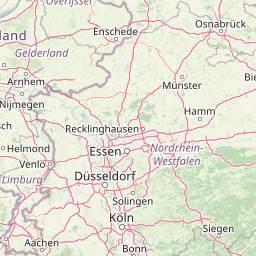
Hoge Kempen National Park landscape and geographic character

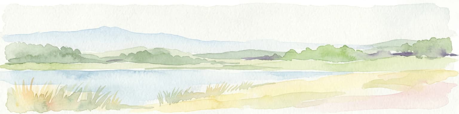
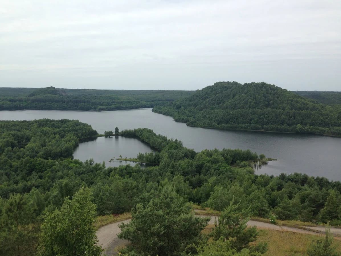
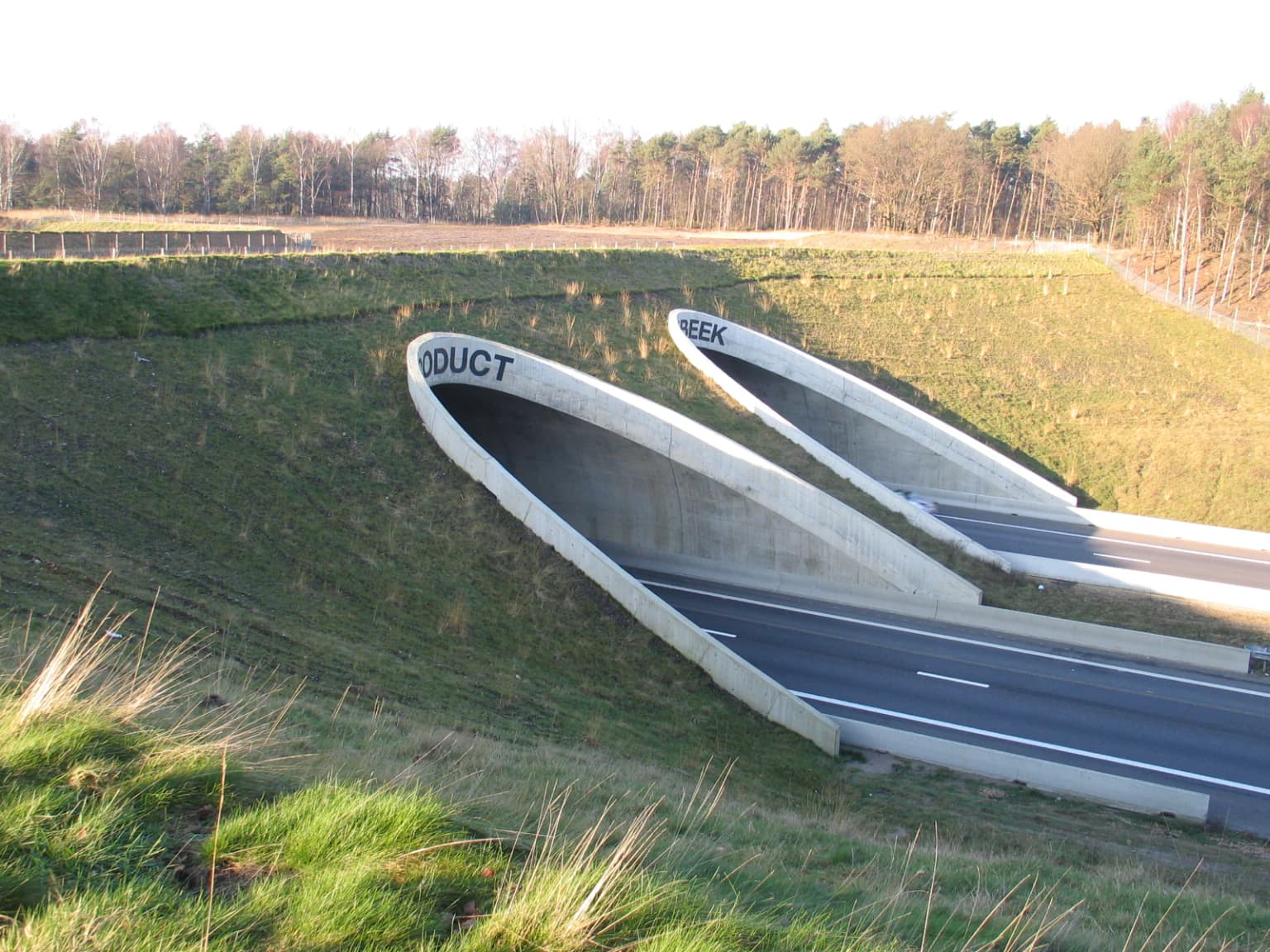
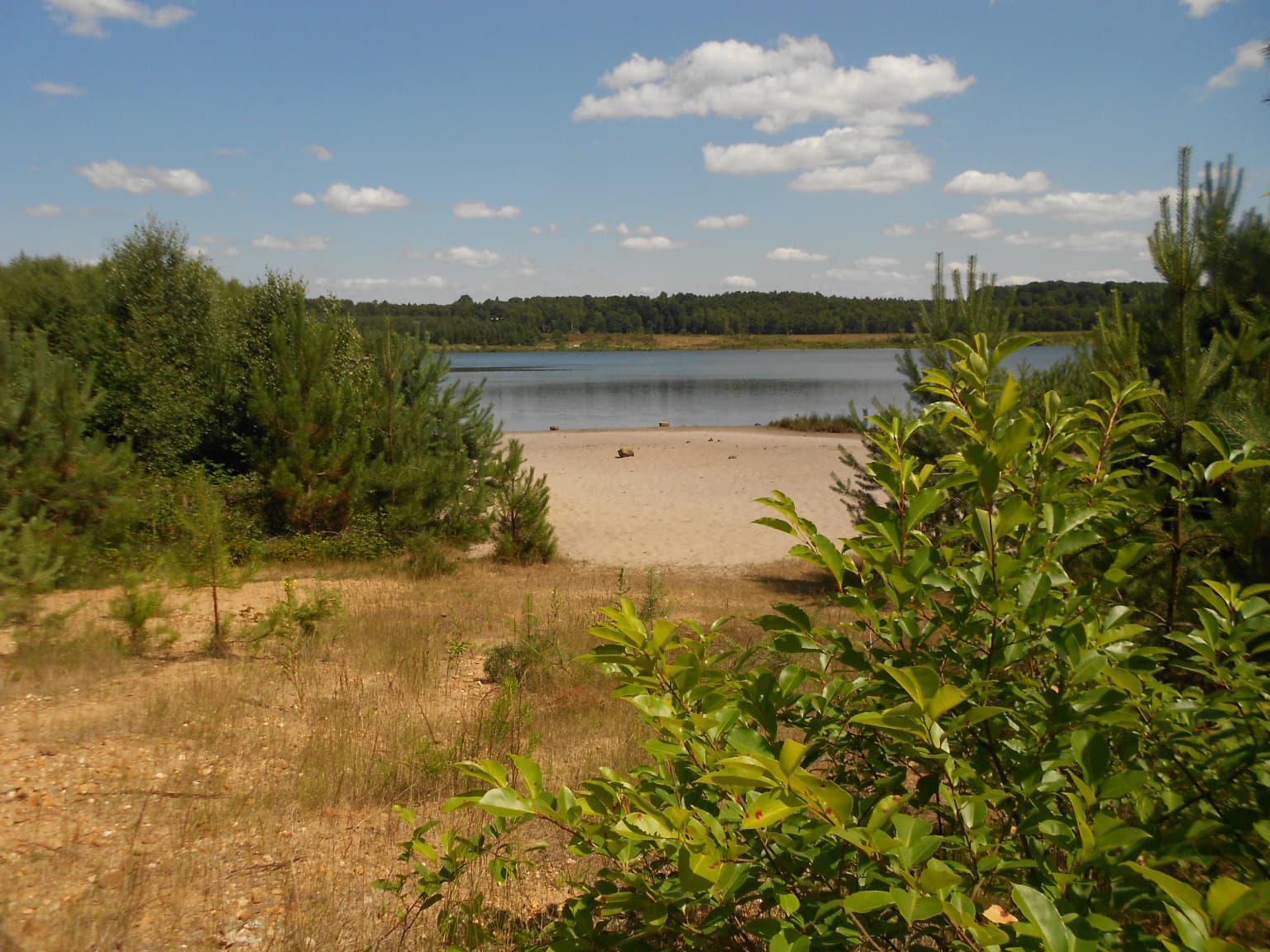
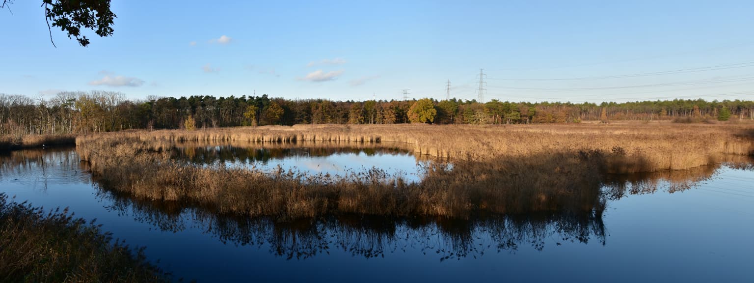
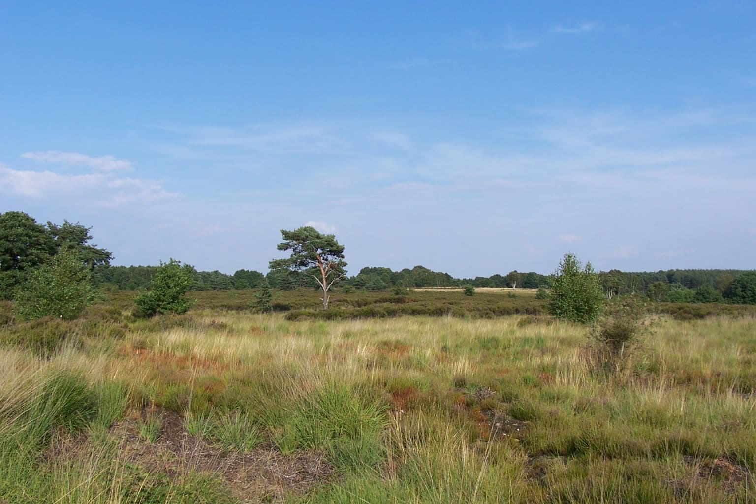
The Hoge Kempen landscape is defined by a distinctive plateau formed from glacial and fluvio-glacial deposits. The Meuse River deposited rocks from the Ardennes during the last Ice Age, and subsequent wind-blown sand from the sea created覆盖 the area with sand. The Grensmaas River later eroded a relatively deep valley through the landscape, while to the west of the Meuse valley, the plateau edge rises steeply by 45 metres, forming a prominent step that runs for 20 kilometres from Opoeteren near Maaseik to Gellik in the south. Over half of this 102-metre-high plateau edge lies within the park. The terrain includes extensive heathlands, pine forest plantations, dunes, marshes, streams, dry valleys, ponds, and former gravel pits and mine spoil heaps. The landscape is crossed by major highways that fragmented the park, necessitating innovative ecological connections including the Kikbeek eco-velo-duct over the E314 highway near Maasmechelen and similar structures near Zutendaal. Several enclaves within the park boundaries contain residential areas, gravel and sand quarries, and industrial zones.

Hoge Kempen National Park ecosystems, habitats, and plant life

The ecological character of Hoge Kempen National Park centres on heathland and coniferous forest habitats that have become emblematic of the Campine region. The heathlands, maintained through traditional land management, support distinctive plant communities including bell heather, gorse, sweet gale, and the club moss species Lycopodiella inundata. Wet heath areas feature asphodel, while the park's various water bodies support dragonfly populations. The pine forest plantations, established largely during the twentieth century, have created additional habitat diversity. The park includes patches of deciduous woodland, dunes, marshes, streams, dry valleys, ponds, gravel pits, and former mine spoil heaps, creating a mosaic of habitats within the protected area. This habitat diversity has earned the park inclusion in the Natura 2000 network, recognizing its significance for European biodiversity conservation.

Hoge Kempen National Park wildlife and species highlights

Hoge Kempen supports a range of characteristic heathland and forest species. The invertebrate fauna includes several notable butterflies: the silver studded blue, swallowtail, and Granville fritillary. Dragonflies are common around the park's wetlands and ponds. Among amphibians, the moor frog and natterjack toad inhabit the area, while the smooth snake and common lizard represent the reptile community. The park provides habitat for the brook lamprey in its streams. Bird species include the black woodpecker, a characteristic species of mature pine forests, and the nightjar that inhabits open heathland. Mammals present include red fox, pine marten, and roe deer. This assemblage of species reflects the park's successful management of heathland and forest habitats in a landscape that has undergone significant human modification.

Hoge Kempen National Park conservation status and protection priorities

Hoge Kempen National Park represents a significant conservation achievement in one of Europe's most densely populated regions, demonstrating that substantial nature protection can coexist with human activity and economic development. The park forms part of the Natura 2000 network, Europe's premier conservation framework for protecting habitats and species of European importance. In 2008, project manager Ignace Schops received the Goldman Environmental Prize, often called the Green Nobel Prize, in recognition of the innovative approach to protecting a large area of valuable nature while integrating agriculture, economy, and tourism. The European Parliament honoured Schops in May 2008 as an exemplary project demonstrating successful cooperation between public authorities and private initiatives. The park's inclusion on UNESCO's Tentative List for World Heritage consideration in 2011 further underscores its significance as a conservation model. Ongoing expansion plans to increase the protected area to over 110 square kilometres indicate continued commitment to nature protection in the region.

Hoge Kempen National Park cultural meaning and human context

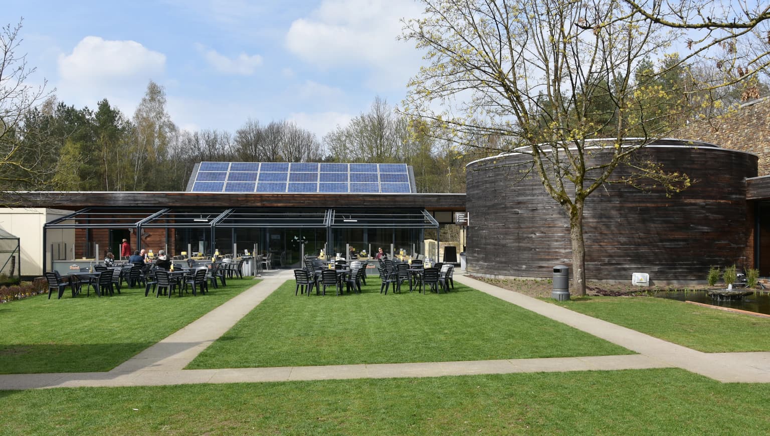
The Hoge Kempen region has a long history of human presence and industrial activity that continues to shape the park's character. The landscape bears evidence of sand and gravel extraction, with numerous former pits now integrated into the park's habitat mosaic. Former mining activity has left its mark on the terrain, with abandoned mine shafts and coal drilling structures visible in places. The park's six entrance gateways each reflect different aspects of local heritage: Connecterra serves as the main entrance, Kattevennen in Genk is themed around the cosmos with a Cosmodrome, Mechelse Heide provides access to the vast heathland, Pietersheim is centred on the Pietersheim castle ruins, Lieteberg in Zutendaal is themed around insects in a former gravel pit, and Station As celebrates the region's industrial past with a lookout tower resembling a coal drilling rig. The park is also the birthplace of the numbered-node cycle network, now widespread across Belgium and the Netherlands, which was developed in the 1990s by designer Hugo Bollen and generates significant economic benefit for the region.

Top sights and standout views in Hoge Kempen National Park

The Mechelse Heide represents the park's most iconic landscape, a vast expanse of purple heather that blooms dramatically in late summer. The plateau's steep 45-metre edge creates a distinctive topographical feature visible across the heathland. The Kikbeek eco-duct and associated ecological infrastructure demonstrate innovative approaches to maintaining wildlife connectivity across fragmented landscapes. The six themed gateway visitor centres, each with distinct interpretive focuses from cosmos to insects to industrial heritage, provide varied entry points into the park. The 200-kilometre hiking trail network and numbered-node cycle system offer exceptional opportunities for outdoor exploration. The park's status as Flanders' first national park and its recognition through the Goldman Environmental Prize underscore its significance as a conservation model.

Best time to visit Hoge Kempen National Park

The heathland reaches its most spectacular state during late July and August when the heather blooms, covering the landscape in purple flower. Spring and early summer bring bird activity and amphibian breeding, while autumn offers pleasant temperatures for hiking and the chance to see the heathland take on amber tones. Winter visits provide a different character, with stark landscapes and fewer visitors, though some facilities may have reduced hours. The park is open year-round, and each season presents distinct opportunities for experiencing the different habitats and landscapes within the protected area.

Park location guide

Geography guide, regional context, and park location map for Hoge Kempen National Park

Hoge Kempen National Park park geography, regions, and map view in Belgium
Understand where Hoge Kempen National Park sits in Belgium through a broader geographic reading of the surrounding landscape, nearby location context, and its mapped position within the national park landscape.

How Hoge Kempen National Park fits into Belgium

Belgium is a parliamentary constitutional monarchy and federal state in Northwestern Europe. Located in the Low Countries, it borders the Netherlands, Germany, Luxembourg, France, and the North Sea. The country has three autonomous regions and three official languages, with Brussels as both the capital and largest city. Belgium is a founding member of the European Union and hosts its de facto capital in Brussels.

Wider geography shaping Hoge Kempen National Park in Belgium

Belgium occupies a coastal lowland region in Northwestern Europe known as the Low Countries. It is bordered by the Netherlands to the north, Germany to the east, Luxembourg to the southeast, France to the south, and the North Sea to the west. The country also shares a maritime boundary with the United Kingdom to the northwest.

Map view of Hoge Kempen National Park

Use this park location map to pinpoint Hoge Kempen National Park in Belgium, understand its exact geographic position, and read its mapped placement within the surrounding landscape more clearly.

Pigeon | © OpenStreetMap contributors

Location context for Hoge Kempen National Park

Flemish RegionLimburg
Park atlas

Explore mapped protected landscapes and regional park context across the Limburg province and surrounding areas.

Explore Related National Parks and Protected Areas Near Hoge Kempen National Park, Limburg
Browse national parks and protected areas situated near Hoge Kempen National Park, exploring diverse conservation landscapes within the Limburg region. Compare distinct natural features and trace the regional spread of protected terrain, offering essential geographic context for your park atlas discovery.
Watercolor painting of a landscape featuring a stream, trees, and rolling hills
National parkLimburg

De Meinweg National Park: Unique Terraced Landscape and Protected Area in Limburg

National Park with exceptional reptile and amphibian biodiversity.

De Meinweg National Park is a remarkable protected landscape located in the Dutch province of Limburg, distinguished by its rare terraced topography unlike any other in the Netherlands. This national park, covering 1,800 hectares, is a key component of the transboundary Grenspark Maas-Swalm-Nette, bordering Germany. Its ecological significance is underscored by its status as a Natura 2000 site, with notable biodiversity, particularly among reptiles and amphibians, and regenerating raised bogs. MoriAtlas offers a map-centric view of this unique protected area, detailing its geographic context and landscape features for structured discovery.

Area
18 km²
Established
1995
IUCN
II
Relief
Upland
Watercolor painting of a peat bog ecosystem featuring green trees, pink and yellow vegetation, a body of water, and distant mountains
National park

De Groote Peel National Park: Mapped Boundaries of a Unique Raised Bog & Wetland

Protected area with exceptional birdlife and peat landscape.

De Groote Peel National Park represents a crucial protected landscape in the Netherlands, renowned as one of the last substantial raised bogs in Western Europe. Its terrain is characterized by a distinct blend of open lakes formed by historical peat extraction, heathland expanses, and sensitive peat swamps. This Ramsar-designated wetland is a vital habitat for numerous bird species, offering unique opportunities for landscape context and atlas exploration of its ecological significance and mapped geographic features.

Area
13.4 km²
Established
1993
IUCN
II
Relief
Lowland
Protected areaBelgium

Burdinale Protected Area: Explore its Mapped Landscape and Geographic Context in Belgium

Mapped protected area discovery within Belgium's geography.

Burdinale Protected Area serves as a key point for understanding Belgium's protected lands from an atlas perspective. This page details the park's specific geographic setting and mapped natural landscape, providing essential context for regional geography exploration. Discover the protected boundaries and terrain features that define Burdinale, contributing to a structured overview of conservation areas.

Scope
Mixed
Water
Major water bodies
Watercolor illustration of rolling green hills and meadows with patches of pink and yellow flowers
National parkNorth Rhine-Westphalia

Eifel National Park: North Rhine-Westphalia Protected Area Atlas

Explore mapped boundaries and regional geography.

Gain a structured understanding of Eifel National Park, a key protected area within Germany's North Rhine-Westphalia region. This page focuses on its geographic identity, detailing mapped boundaries and offering context within the state's broader natural landscapes. MoriAtlas enhances your exploration by presenting Eifel National Park as a distinct entity within a larger geographic framework, ideal for atlas-based research and understanding protected land distribution.

Area
107 km²
Established
2004
IUCN
II
Relief
Upland
National parkLimburg

De Maasduinen National Park: Mapping the Longest River Dune System in the Netherlands

Protected Landscape and Dune Terrain in Limburg

Delve into the geographic identity of De Maasduinen National Park, a vital protected area in Limburg. This page offers detailed insights into its remarkable dune landscape, heathlands, and forests, emphasizing its role within the Dutch natural atlas and its connections to surrounding conservation areas.

Area
45 km²
Established
1996
IUCN
II
Watercolor illustration of rolling hills, a winding river, and fields with distant mountains
National parkNorth Brabant

Van Gogh National Park: National Park in North Brabant with Dune Landscapes

Explore mapped protected areas and regional geography.

Van Gogh National Park is a significant protected landscape in North Brabant, Netherlands, covering approximately 1,200 square kilometers. This national park is distinguished by its extensive drift sand dune systems, notable heathlands, and wooded valleys, offering a diverse terrain within the Dutch context. Named in tribute to Vincent van Gogh, it merges rich natural landscapes with cultural heritage, serving as a model for collaborative conservation and regional development, all mapped for detailed atlas exploration.

Area
1,200 km²
Established
2024
IUCN
II
Relief
Lowland
Watercolor artwork showing sand dunes, scattered trees, distant mountains, and soft sky
National park

De Loonse en Drunense Duinen National Park: Explore Dutch Protected Sand Drift Landscapes and Heathlands

National Park with unique living sand drift and dune terrain.

Navigate the geographic contours and protected land boundaries of De Loonse en Drunense Duinen National Park, a premier Dutch natural area. This national park is celebrated for its extensive living sand drift, one of the largest in Northern Europe, alongside significant heathlands and coniferous forests. Gain a structured understanding of its landscape character and its role within regional geography through detailed map context and atlas exploration tools.

Area
35 km²
Established
2002
IUCN
II
Relief
Lowland
National park

De Zoom, Kalmthoutse Heide Cross-Border Park: Transboundary National Park & Heathland Atlas

Explore mapped protected boundaries and regional geography.

This page details the De Zoom, Kalmthoutse Heide Cross-Border Park, a significant national park that merges Belgian and Dutch protected territories. It is recognized for its expansive heathland, a crucial ecosystem in the Benelux region, offering a rich visual and ecological study. The park's mapped landscape context reveals its unique geography, from dry heathlands to Ramsar-designated wetlands, providing valuable insight for atlas-based exploration of protected areas. Understand the park's protected area identity and its role within the regional landscape.

Area
37.5 km²
Established
2001
IUCN
II

Common questions about visiting, size, designation, and location context for Hoge Kempen National Park

Hoge Kempen National Park FAQs for park facts, access, geography, and protected area context
Find quick answers about Hoge Kempen National Park, including protected-area facts, park geography, trail and visitor context, and how the park fits into its surrounding country and regional landscape.
MoriAtlas Explorer

Continue Your Protected Areas Search Across the Global Atlas

Deepen your exploration by continuing the structured search for national parks and protected areas worldwide. Utilize the comprehensive filtering capabilities to compare different conservation landscapes and refine your understanding of global park geography. Discover more about the distribution and characteristics of protected natural areas.

Global natural geography