Mori Atlas logo
Nearby park discovery

Mapping regional protected areas and wetland geographic contexts near Montevideo

Protected Natural Areas and Park Landscapes Surrounding Humedales de Santa Lucía

Discover the surrounding network of protected lands and natural landscapes adjacent to Humedales de Santa Lucía. This geographic collection traces the regional distribution of diverse ecosystems and tidal habitats found throughout the Montevideo, Canelones, and San José border areas.

A flat-style digital illustration showing a scenic wetland with calm water, three sailboats, grassy marsh banks in the foreground, and distant cliffs with a waterfall under a soft sunset sky.

A tidal freshwater wetland complex at the mouth of the Santa Lucía River, on the edge of Montevideo.

Humedales de Santa Lucía

Humedales de Santa Lucía is a managed natural protected area spanning parts of the departments of San José, Canelones, and Montevideo in southern Uruguay. The wetland system develops near the mouth of the Santa Lucía River where it meets the Río de la Plata, blending freshwater inflows from inland streams with saline tidal influence from the estuary. The surrounding mosaic of channels, sediment islands, marshes, and riparian corridors supports distinctive wildlife, particularly waterbirds that depend on the fluctuating tidal conditions. It became part of Uruguay's National System of Protected Natural Areas in 2015, formalizing decades of local management efforts, especially the municipal natural park established near Santiago Vázquez.

Location
Uruguay
Park type
Protected landscape
Established
2015
Area
865.2 km²
Humedales de Santa Lucía Protected Landscape Map
Regional park map

See the ranked park cluster in its geographic setting

Nearby parks around Humedales de Santa Lucía

This regional map shows the same 20 nearby parks ranked below around Humedales de Santa Lucía. Select a ranked marker to highlight that park’s boundary where boundary data is available.
Reference park: Humedales de Santa LucíaRanked nearby park20 nearby parks shown
20 nearby parks

Geographic proximity rankings and surrounding regional park comparisons

Ranked Protected Areas and Parks Near Humedales de Santa Lucía

Geographic distance measurements establish a ranked collection of protected areas surrounding Humedales de Santa Lucía to facilitate structured regional comparison. Examining adjacent park environments and country contexts reveals broader landscape patterns without implying identical habitats or shared boundaries.
A watercolor painting showing stylized, rolling hills in shades of purple, green, yellow, and soft pink against a white background.
National parkCanelones Department
About 42 km away#1 closest

Southeast

Isla de Flores National Park: Geographic Map and Protected Landscape Overview

Tidal island geography within the Río de la Plata estuary.

Located in the Canelones Department, Isla de Flores National Park represents a significant protected maritime area. Its landscape consists of a low-lying island reaching only two meters above sea level, featuring a protected maritime buffer that supports the integrity of this historic Río de la Plata site. Examine the mapped boundaries and the unique interplay between the estuary currents and this shifting coastal terrain.

Area
0.31 km²
Established
2018
Relief
Lowland
Climate
Temperate
Watercolor painting showing a hill with green landscape and distant mountains
National parkUruguay
About 111 km away#2 closest

Northeast

Arequita National Park: Uruguay's National Park Protected Landscape and Geography

Mapped boundaries and regional natural terrain context for a key protected area.

Delve into Arequita National Park, a designated national park contributing to Uruguay's protected land inventory. This resource explores the park's unique geographic setting, its mapped boundaries, and its significance within the natural landscape of the Southern Cone. Gain structured insight into its role as a protected area and its contribution to the regional geography of South America.

Scope
Terrestrial
Water
No major water
Watercolor painting of a soft landscape with rolling hills in the background and grassy plains in the foreground on a white background.
National parkLavalleja Department
About 111 km away#3 closest

Northeast

Parque nacional Arequita: Protected Landscape and Volcanic Geography in Lavalleja

Mapped natural terrain and protected ecosystems of southeastern Uruguay.

Parque nacional Arequita preserves a unique volcanic landscape in the Lavalleja Department, centered on the ancient basalt hill of Cerro Arequita. The area protects diverse environments ranging from rocky cave systems and native forests to critical freshwater watersheds. This record offers a deep look into the geographical character, internal boundaries, and ecological importance of one of Uruguay's most prominent natural sites.

Area
5.6 km²
Established
2024
Relief
Upland
Climate
Temperate
A soft watercolor painting showing an island surrounded by water, with distant green hills on the horizon under a light-colored sky.
National parkMaldonado
About 136 km away#4 closest

East

Parque nacional Isla e islote de Lobos y su entorno sumergido: Protected Area Atlas

Mapping the oceanic terrain and rocky coastal landscapes of Uruguay

This resource provides a detailed geographic overview of Parque nacional Isla e islote de Lobos y su entorno sumergido. Explore the composition of this protected marine environment, which spans both rugged island terrain and extensive submerged rocky formations within the Atlantic waters of Maldonado.

Area
40 km²
Established
2024
Relief
Lowland
Climate
Temperate
Protected landscapeFlores Department
About 136 km away#5 closest

North

Localidad Rupestre de Chamangá: An Archaeological Protected Landscape in Flores Department

Explorations into the prehistoric rock art of rural Uruguay.

Located in central Uruguay, Localidad Rupestre de Chamangá protects a sprawling 12,000-hectare rural landscape notable for its dense cluster of rare open-air pictographs. The site offers profound insights into how prehistoric art interacts with granite topography and pastoral terrain, bridging cultural heritage and natural landscape conservation in the department of Flores.

Area
120 km²
Established
2010
Relief
Upland
Climate
Subtropical
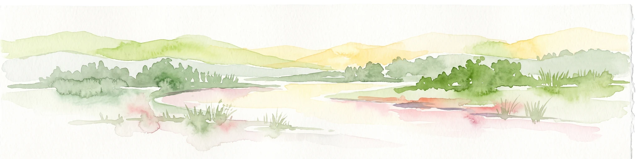
A horizontal watercolor illustration of a gentle landscape with rolling green hills, a winding river, and a light-colored mountainous horizon.
National parkColonia Department
About 161 km away#6 closest

West

Parque Nacional Aarón de Anchorena: Protected Geography and Riverine Landscape

An expansive arboretum and presidential estate in Colonia

Parque Nacional Aarón de Anchorena is a protected territory in southwestern Uruguay, defined by its position on the Río de la Plata estuary. The area encompasses an extensive arboretum, ornamental gardens, and riparian habitats that house unique animal populations. The site serves as a vital geographic anchor for the region, combining historic architecture with the broad, reflective horizons of the river coast.

Area
13.69 km²
Established
1908
Relief
Lowland
Climate
Temperate
Wildlife reserveMaldonado
About 163 km away#7 closest

East

Area de manejo de habitats y/o especies Laguna Garzon: Wildlife Reserve and Coastal Atlas

Mapped wetlands and Atlantic coastal landscapes in Maldonado, Uruguay.

The Area de manejo de habitats y/o especies Laguna Garzon protected area features a unique mosaic of interconnected lagoons and dune-backed shorelines. This coastal wildlife reserve offers a significant geographic study of wetland habitats and their interaction with the Atlantic maritime zone, providing essential context for understanding Uruguay's southeastern coastal terrain.

Established
2014
Water
Water-dominated
National parkBuenos Aires Province
About 180 km away#8 closest

South

Campos del Tuyú National Park: National Park Protected Area and Landscape Context

Mapped boundaries and regional geography for this Buenos Aires Province natural reserve.

Campos del Tuyú National Park represents a protected landscape within Argentina's Buenos Aires Province, offering a focused point for atlas-driven exploration. This entry details the park's designation as a national park, providing insights into its mapped geographic scope and its contribution to the regional natural landscape. Understand the foundational elements of this protected area for comparative geography and a structured understanding of conservation lands.

Area
30.4 km²
Established
2009
IUCN
II
Relief
Lowland
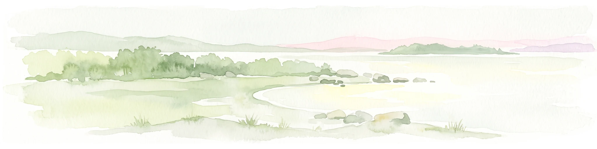
A horizontal watercolor illustration showing a shallow lagoon with soft green, yellow, and grey tones depicting vegetation, water, and distant low hills against a white background.
Protected landscapeRocha Department
About 180 km away#9 closest

East

Laguna de Rocha Protected Landscape: Mapping Coastal Uruguay and its Dynamic Wetland Geography

Explore the unique barrier lagoon system and diverse coastal habitats of Rocha Department.

Laguna de Rocha functions as a vital coastal lagoon and wetland complex in southeastern Uruguay. Characterized by its shallow water and temporary sandbar breaches, the area supports a distinct mosaic of habitats, including dunes, reedbeds, and mudflats. Its status as a biosphere reserve and Important Bird Area underscores the ecological importance of this regional geography in providing a sanctuary for migratory waterbirds along the Atlantic coast.

Area
220 km²
Established
2010
Relief
Lowland
Climate
Temperate
Natural monumentFlores
About 181 km away#10 closest

Northwest

Grutas del Palacio Natural Monument: Geological Landscape Map and Protected Area Context

Protected sandstone formations within the Flores region of central Uruguay

Grutas del Palacio represents a critical protected landscape in Flores, Uruguay, famous for its vaulted sandstone architecture and column-supported cavern structure. As an established natural monument, the site provides essential insights into Cretaceous sedimentary history and geoconservation. This record maps the natural features and territorial boundaries of this inland landmark, offering a structured look at its role in regional geography and geological heritage preservation.

Area
0.45 km²
Established
2013
Relief
Lowland
Climate
Subtropical
Protected landscapeRocha
About 231 km away#11 closest

East

Paisaje protegido Laguna de Castillos: Mapped Geography and Protected Landscape Features

Coastal lagoon and native woodland terrain in Rocha, Uruguay

Investigate the geographic profile of Paisaje protegido Laguna de Castillos, an essential protected area in Rocha. This terrain features the largest continuous ombú forest in the country alongside shallow coastal lagoon waters and complex wetland habitats that support a high diversity of native waterfowl.

Area
82.64 km²
Established
2020
Relief
Lowland
Climate
Subtropical
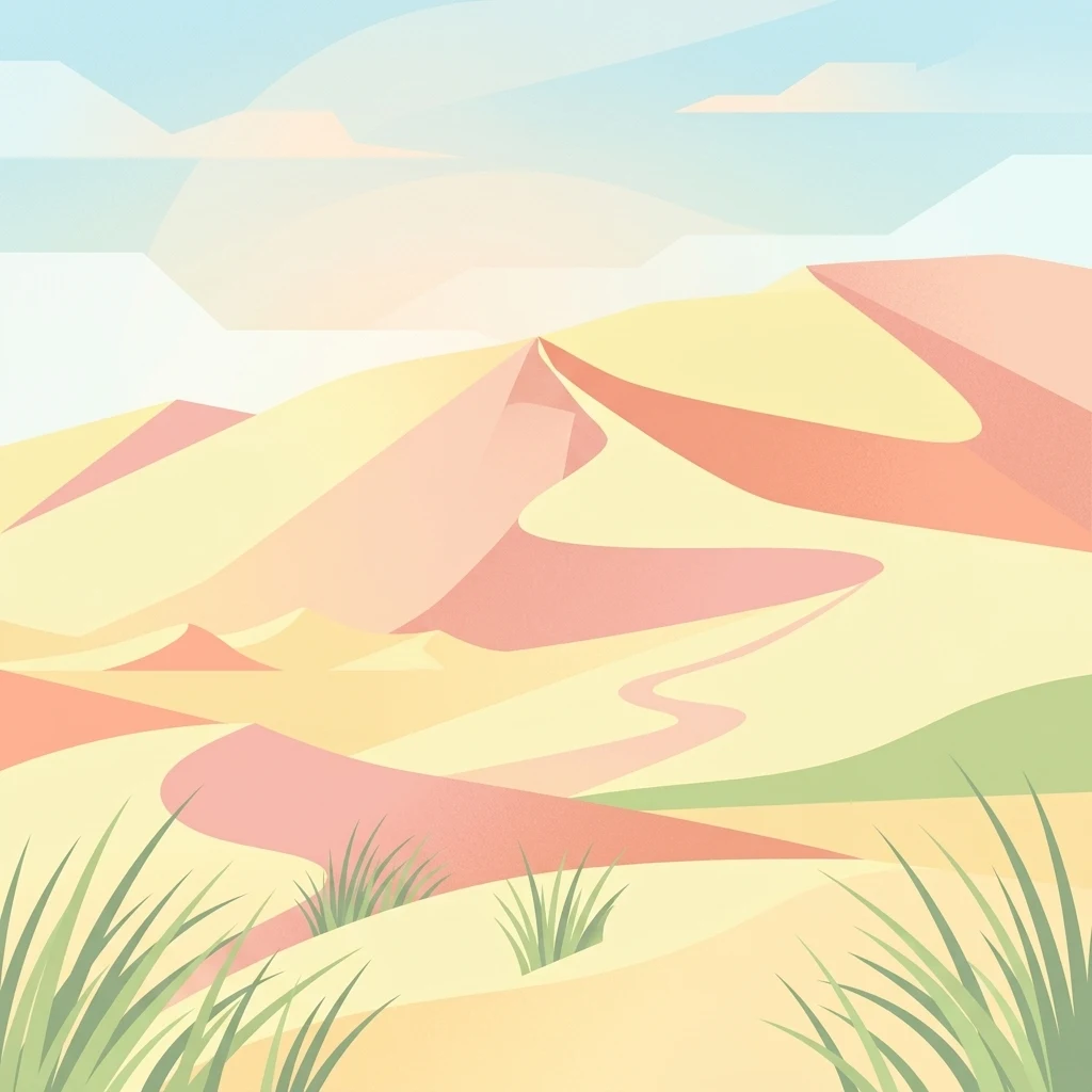
A stylized digital illustration of yellow and peach-toned sand dunes under a soft blue sky, with small patches of green grass in the foreground.
National parkRocha
About 236 km away#12 closest

East

Parque nacional Cabo Polonio: Coastal Geography and Marine Protected Area Atlas

Examining dune systems, coastal lagoons, and marine habitats

Analyze the geography of Parque nacional Cabo Polonio, a protected area in Uruguay's Rocha region. This atlas entry details the mosaic of transverse dunes, interdunal wetlands, rocky outcrops, and oceanic islands that define this significant coastal-marine protected landscape.

Area
258.2 km²
Established
2009
Relief
Lowland
Climate
Subtropical
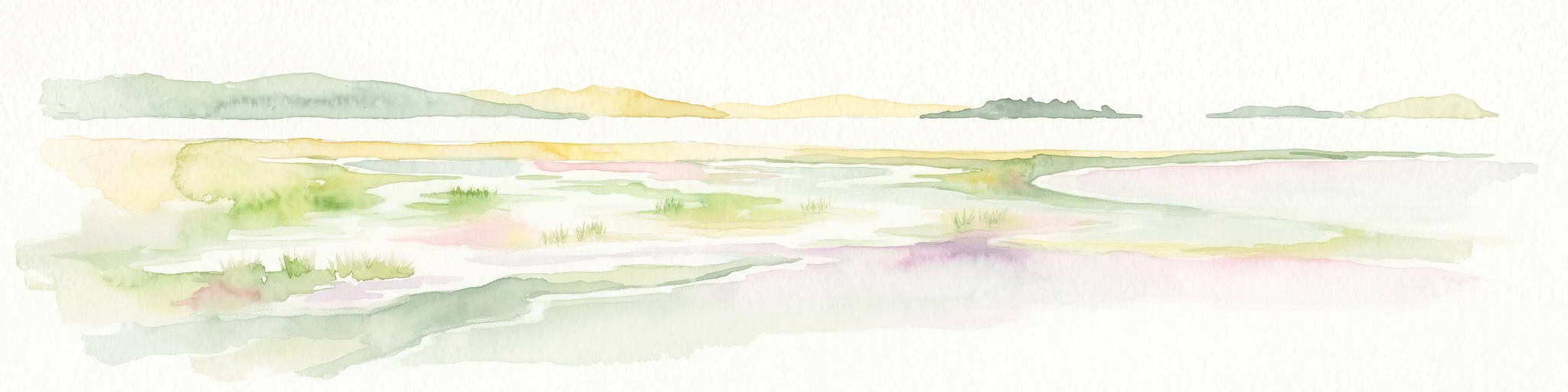
A soft, light-toned watercolor illustration of a river landscape with low green islands and marshy vegetation under a pale, minimalist sky.
National parkRío Negro Department
About 254 km away#13 closest

Northwest

Parque nacional Esteros de Farrapos e Islas del Río Uruguay: Protected Wetland Geography

Exploring the fluvial island and riverine terrain of Río Negro

This protected area represents an essential riverine ecosystem along the western frontier of Uruguay. The landscape comprises a complex layering of flood-prone plains, riparian forest edges, and silty soil formations that characterize the regional geography of the Río Uruguay basin.

Area
215.65 km²
Established
2008
Relief
Lowland
Scope
Terrestrial
Biosphere reserveUruguay
About 257 km away#14 closest

Northeast

Reserva de biosfera Bañados del Este: Geographic Overview of Uruguay Wetlands

Mapping protected lagoons, sierras, and palm savannas

Reserva de biosfera Bañados del Este represents one of South America's most significant wetland systems. This overview highlights the ecological and physical geography of a protected area that stretches from rolling crystalline sierras down to the Atlantic coastal lagoons, examining the interplay of marshlands, grasslands, and forest remnants that shape this vital Uruguayan region.

Area
12,500 km²
Established
1976
IUCN
IV
Relief
Mixed relief
Wildlife reserveRío Negro Department
About 261 km away#15 closest

Northwest

Área de manejo de hábitats y/o especies Esteros y Algarrobales del Río Uruguay Protected Area Geography

Wildlife reserve in the Río Negro department with unique riparian corridors.

This wildlife reserve protects a unique transition zone where dry-forest Prosopis woodlands thrive alongside wetland esteros. Its mapped terrain reflects the intersection of two distinct ecoregions, creating a fragile landscape characterized by blanqueales soils, gallery forests, and river-fed floodplains within a larger protected conservation mosaic.

Area
15.5 km²
Relief
Lowland
Scope
Terrestrial
Water
Major water bodies
Watercolor painting of a wide, calm lake landscape with a sandy shoreline, sparse vegetation, and gentle hills in the background.
National parkRocha Department
About 264 km away#16 closest

East

Parque Nacional Laguna Negra: Geographic Map and Protected Area Overview

Wetland and Savanna Landscapes in Rocha Department

Parque Nacional Laguna Negra protects a compressed mosaic of coastal environments in eastern Uruguay. The area integrates dense marshlands with native grasslands and patches of indigenous forest, providing a essential habitat corridor along the Atlantic coast. Use this atlas resource to understand its terrain and internal environmental distribution.

Area
7.15 km²
Established
2025
Relief
Lowland
Climate
Temperate
National parkRocha Department
About 266 km away#17 closest

East

Santa Teresa National Park: Mapped Coastal Forest and Beach Protected Landscape

Explore Rocha Department's unique protected Atlantic coast geography.

Santa Teresa National Park, a designated national park in Uruguay's Rocha Department, offers a compelling example of a protected coastal environment. Its landscape is characterized by a distinctive blend of dense forests that reach down to the sandy shores of the Atlantic Ocean, a rare feature in the region's protected areas. This page provides detailed geographic context and map-based exploration for understanding this unique seaside national park and its place within Uruguay's conservation atlas.

IUCN
II
Relief
Lowland
Climate
Subtropical
Access
Easy access
A soft watercolor illustration featuring a winding river flowing through a hilly, green landscape under a pale sky.
Protected landscapeTreinta y Tres Department
About 268 km away#18 closest

Northeast

Paisaje protegido Quebrada de los Cuervos y Sierras del Yerbal: Protected Landscape Atlas

Geographic analysis of gorge formations and eastern hill ecosystems.

Spanning ancient metamorphic terrain in Treinta y Tres Department, this protected landscape is defined by the steep-walled Quebrada de los Cuervos. The site offers an opportunity to study the intersection of stream-carved gorges, subtropical gallery forests, and high-elevation grasslands in a formal conservation setting.

Area
193.95 km²
Established
2008
Relief
Upland
Climate
Subtropical
Wildlife reserveDepartamento de Rocha
About 277 km away#19 closest

East

Área de manejo de hábitats y/o especies Cerro Verde e Islas de la Coronilla Protected Landscape

Coastal and marine wildlife reserve in Departamento de Rocha

Spanning both land and sea, this reserve protects a rare combination of granite coastal hills, relict forests, and oceanic islands along the Uruguayan Atlantic. Learn about its integrated role within the Banos del Este biosphere and its importance as a habitat for endangered green sea turtles and migrating southern right whales.

Area
16.88 km²
Established
2011
Relief
Lowland
Climate
Temperate
A wide, panoramic watercolor illustration showing a landscape of rolling green hills, grassy foreground vegetation, and distant pale mountains under a soft sky.
National parkDepartamento de Rocha
About 278 km away#20 closest

Northeast

Parque nacional San Miguel: Mapped Protected Landscapes of Departamento de Rocha

Volcanic hills, native woodlands, and seasonal wetlands

Parque nacional San Miguel serves as a vital protected area, showcasing the distinctive topography of the Sierra de San Miguel. The terrain transitions from rocky volcanic slopes to expansive low-lying wetlands, creating a layered environment of native forests and open prairies that define this essential segment of the regional geography in Departamento de Rocha.

Area
15.42 km²
Established
1937
Relief
Upland
Climate
Temperate
Distance methodology

Geographic measurements, not driving distances

How nearby park distances are calculated

Distances use park boundaries whenever the available geometry allows it. When one or both boundaries are missing, the mapped park locations provide a clearly labelled estimate. Every value represents straight-line geographic separation and does not use roads or routing.

Boundary distance

Calculated between the nearest points of both park boundaries.

Location-to-boundary estimate

Estimated from one mapped park location to the nearest boundary of the other park.

Mapped-location estimate

Estimated between the mapped locations of both parks.

MoriAtlas Explorer

Continue Exploring the Protected Wetland Geography of Humedales de Santa Lucía

Delve into the mapped terrain and fluvial features of this managed wetland near Montevideo. Understanding the protected boundaries and natural riverine shifts of Humedales de Santa Lucía provides a deeper perspective on the coastal geography of southern Uruguay within the MoriAtlas database.