Mori Atlas logo
National parkIchnia National Nature Park

Mapping the protected boundaries and natural terrain of this key Ukrainian national park.

Ichnia National Nature Park: Protected Landscape Atlas and Geographic Context in Ukraine

Ichnia National Nature Park stands as a vital protected landscape within Ukraine, offering a distinct geographic identity for atlas exploration. This entry provides a structured overview of the park's mapped boundaries and its role in the regional geography of Ukraine. Users can delve into the park's specific context, understanding its place within the nation's network of natural protected areas and appreciating its landscape character through detailed geographic data.

National ParksForest-SteppeWetlandsEastern EuropeUkraineProtected Areas

Ichnia National Nature Park

National park

Park overview

Structured park overview, official facts, and landscape profile for Ichnia National Nature Park

Ichnia National Nature Park park facts, protected area profile, and essential visitor context
Review the core facts for Ichnia National Nature Park, including designation, size, terrain, visitor scale, habitats, and operating context in one park-focused overview.

About Ichnia National Nature Park

Ichnia National Nature Park protects a significant tract of forest-steppe landscape in northern Ukraine, representing the transitional zone between the broadleaf forests of Polissia to the north and the open grasslands of the Ukrainian steppe to the south. The park's establishment in 2004 reflected Ukraine's commitment to preserving its natural heritage, providing protected status to a landscape characterized by its flat terrain, abundant surface water, and mixed forest cover. The Uday River and its tributary, the Ichenka River, meander through the park, creating a network of wetlands, lakes, and ponds that define much of the area's ecological character. The town of Ichnia sits at the northeastern corner of the park, and local communities have historically used the surrounding lands for gathering berries and mushrooms, a tradition that continues today with no barriers on internal roads. The park offers basic visitor facilities including a small hotel and tourist equipment rental, supporting ecological tourism in the region.

Quick facts and research context for Ichnia National Nature Park

Ichnia National Nature Park covers 9,669 hectares in Chernihiv Oblast, approximately 120 kilometers northeast of Kyiv. The park sits in the Dnieper Lowlands within the East European forest steppe ecoregion. It was established in 2004 under IUCN Category II protection. The terrain is flat with numerous lakes, ponds, and the meandering Uday and Ichenka Rivers creating wetland habitats. The climate is humid continental with warm summers and cold, snowy winters, featuring January averages of -7°C and July averages of 19°C. The park contains oak-hornbeam forests in western areas and oak-pine woodlands on river terraces.

Park context

Deeper park guide and search-rich context for Ichnia National Nature Park

Ichnia National Nature Park history, landscape, wildlife, and travel context
Explore Ichnia National Nature Park through its history, landscape character, ecosystems, wildlife, conservation priorities, cultural context, and seasonal travel timing in a structured park guide built for atlas discovery and search intent.

Why Ichnia National Nature Park stands out

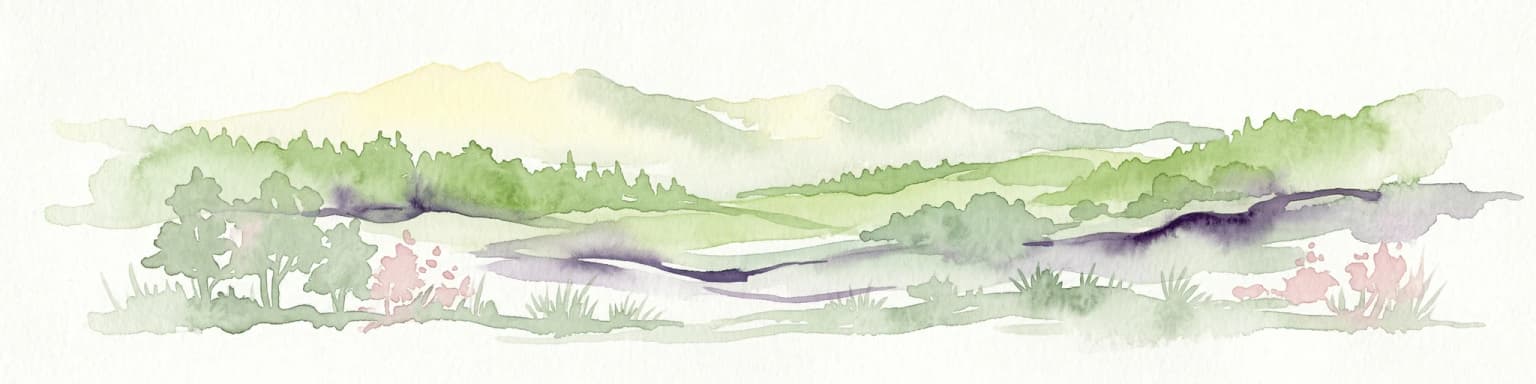
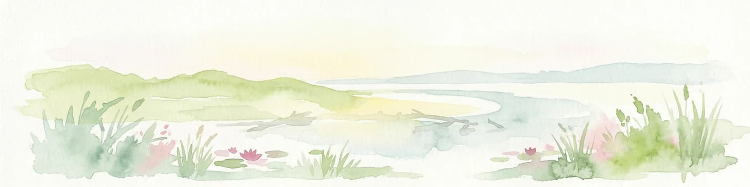
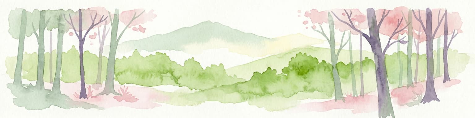
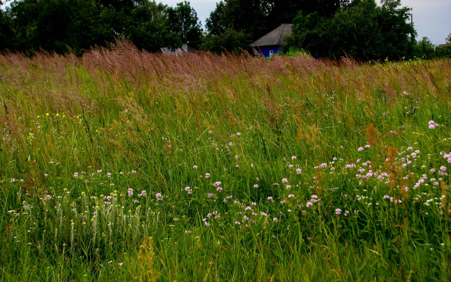
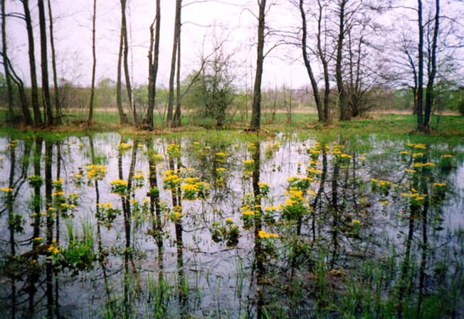
The park is known for its forest-steppe ecosystem with extensive wetlands, including lakes, ponds, and river valleys that support diverse habitats. The oak-hornbeam and oak-pine forests, combined with wetland bogs in the Uday valley, create a transitional landscape between eastern European forests and the steppe grasslands. Visitors can explore two major ecological excursion routes through this varied terrain.

Ichnia National Nature Park history and protected-area timeline

Ichnia National Nature Park was established in 2004 as part of Ukraine's system of protected areas, designated under IUCN Category II to ensure the preservation of its forest-steppe ecosystems and associated biodiversity. The park was created to protect the transitional landscape of the Dnieper Lowlands, which had faced various development pressures. Management responsibilities fall to Ukraine's Ministry of Ecology and Natural Resources, which oversees the park's conservation objectives and public use programs. The establishment of protected status helped safeguard the wetland systems, forests, and associated wildlife habitats within the Uday River basin.

Ichnia National Nature Park landscape and geographic character

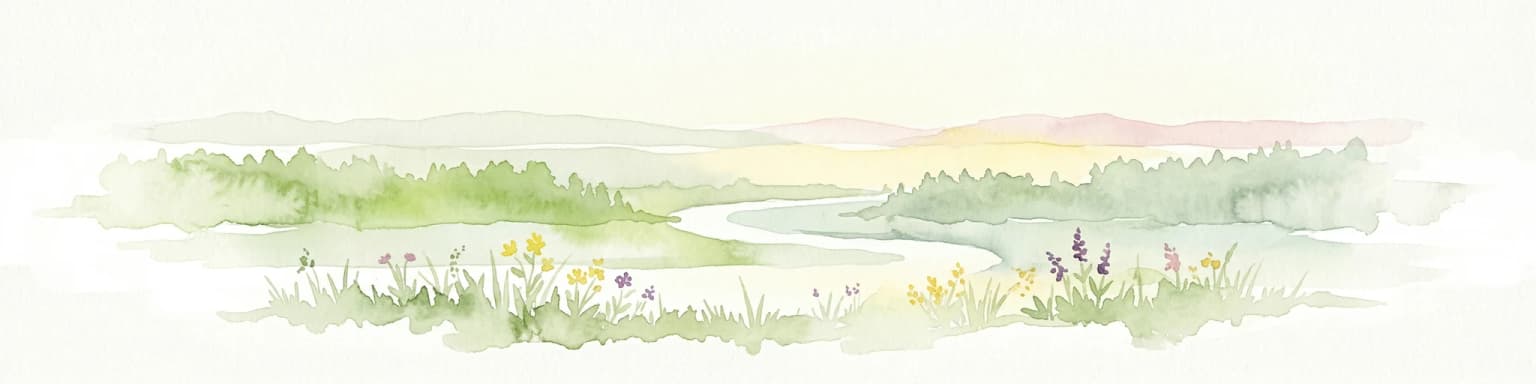
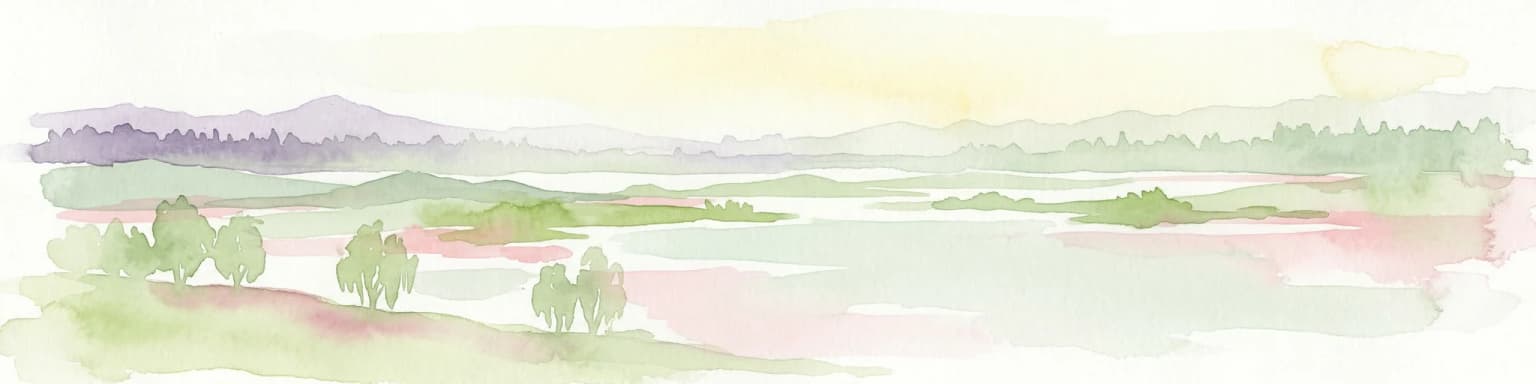
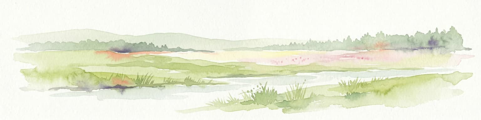
The park occupies flat terrain within the Dnieper Lowlands, a region of relatively low relief shaped by glacial and river processes. The landscape is defined by the valleys of the Uday River and the Ichenka River, which meander through the area creating numerous oxbow lakes, ponds, and wetlands. The terrain's flatness, combined with the network of connecting streams and water bodies, results in extensive wetlands throughout the park. The surrounding landscape transitions between forested areas and more open terrain, reflecting the forest-steppe character of the ecoregion.

Ichnia National Nature Park ecosystems, habitats, and plant life

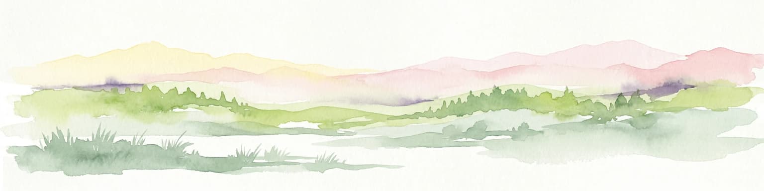
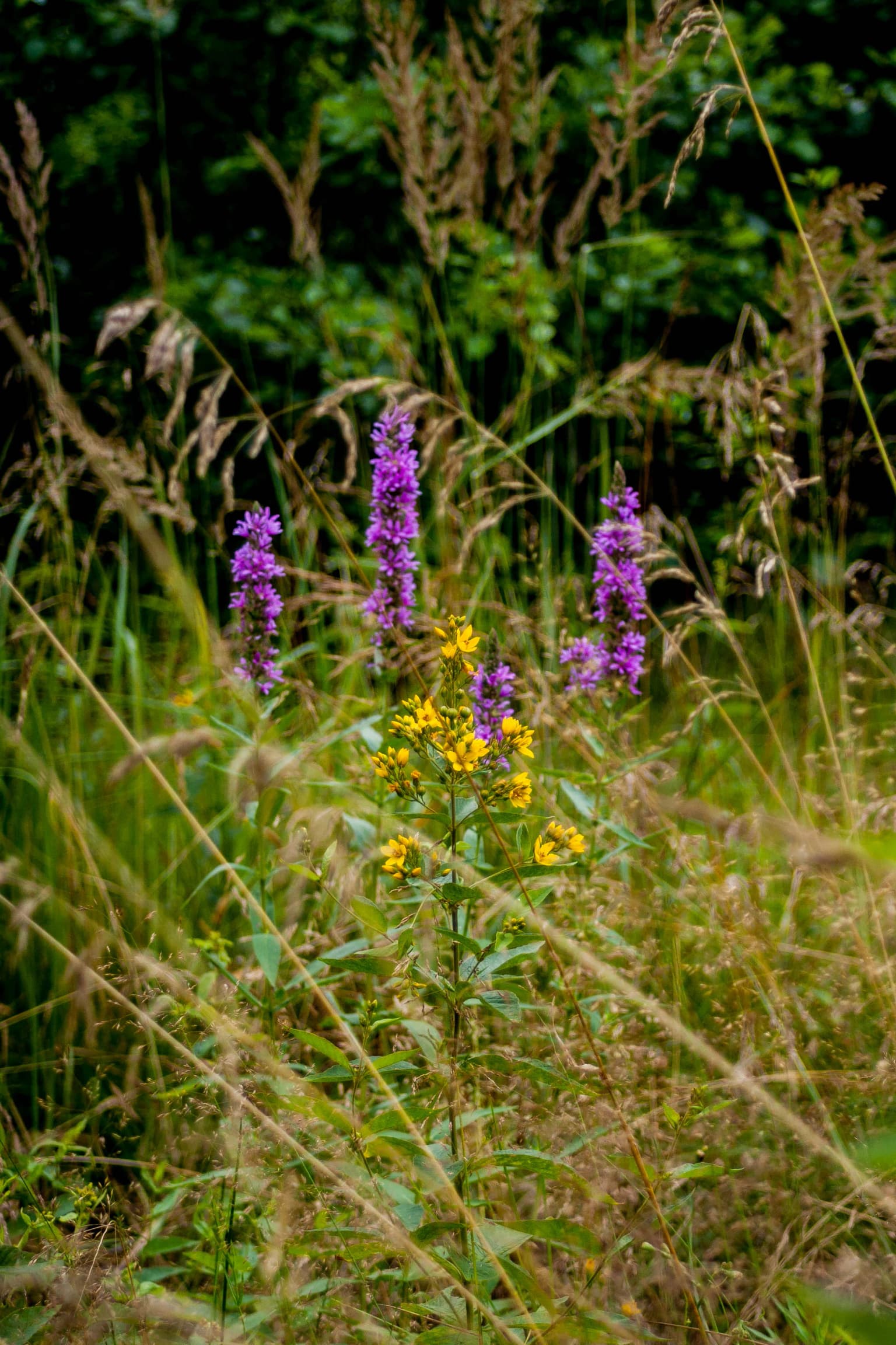
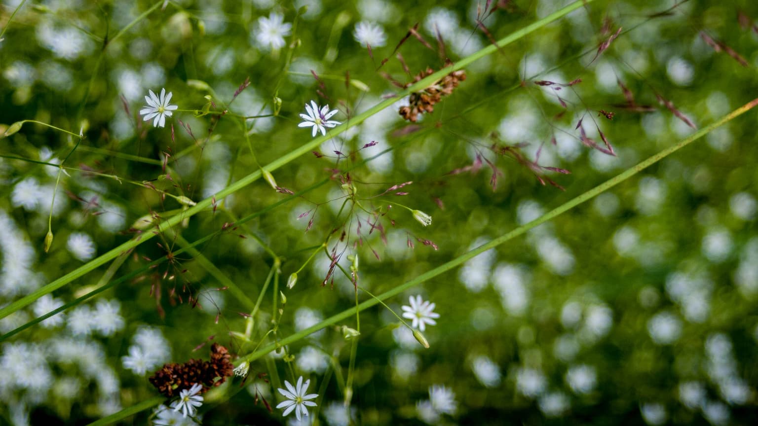
Ichnia National Nature Park lies within the East European forest steppe ecoregion, a biogeographic zone that spans from Ukraine eastward to the southern Ural Mountains. This ecoregion is characterized by a mosaic of deciduous forests and grassland steppes, and the park exemplifies this transitional character. The primary forest types include oak-hornbeam forests in the western portions of the park and oak-pine woodlands on the terraces above the river valleys. Wetland areas, particularly in the Uday valley and along its tributaries, support distinctive bog communities. The humid continental climate with warm summers and cold winters shapes the seasonal patterns of vegetation and wildlife activity throughout the park.

Ichnia National Nature Park wildlife and species highlights

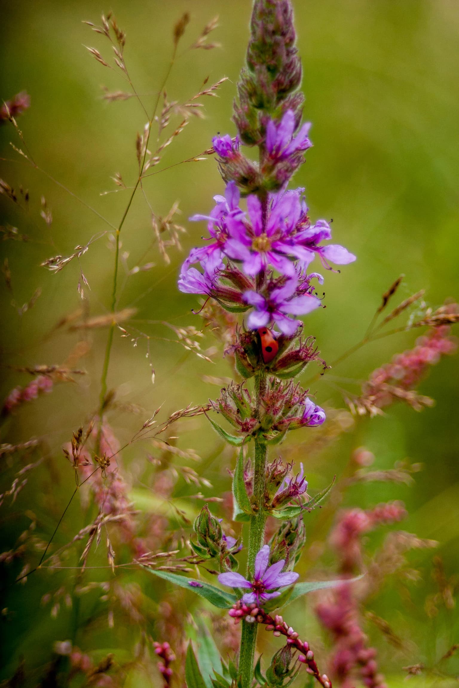
The forest-steppe and wetland habitats of Ichnia support various wildlife species associated with eastern European ecosystems. The mix of oak-hornbeam and oak-pine forests provides habitat for forest-dwelling species, while the wetlands, lakes, and ponds attract waterfowl and other bird species. The rivers and streams support fish populations and aquatic ecosystems. While specific species details are limited in available sources, the park's protected status helps preserve the ecological communities that inhabit this transitional forest-steppe zone.

Ichnia National Nature Park conservation status and protection priorities

The park's designation as a national park under IUCN Category II reflects its conservation significance within Ukraine's protected areas network. By protecting the forest-steppe ecosystem of the Uday River basin, the park helps preserve biodiversity in a region where intensive agriculture has transformed much of the original landscape. The wetland systems, which include forest bogs and numerous lakes and ponds, represent ecologically important habitats that benefit from protected status. The park's management focuses on balancing conservation of the natural environment with sustainable public use through its ecological excursion routes and visitor facilities.

Ichnia National Nature Park cultural meaning and human context

The park is located near the town of Ichnia, which sits at the northeastern corner of the protected area. Local communities have traditionally used the surrounding lands for gathering forest products such as berries and mushrooms, a practice that continues within the park boundaries. The area's history is tied to the broader cultural landscape of Chernihiv Oblast, a region with historic ties to the development of Ukrainian statehood and settlement patterns. The flat terrain and fertile soils of the Dnieper Lowlands have supported agriculture and settlement for centuries, and the park preserves a remnant of the natural landscape that once covered this region.

Top sights and standout views in Ichnia National Nature Park

The park's defining feature is its forest-steppe wetland complex within the Dnieper Lowlands. The extensive network of lakes, ponds, and meandering rivers creates a landscape quite different from the steppe plains that dominate much of central Ukraine. Oak-hornbeam and oak-pine forests provide scenic contrast to the open wetland areas. The two major ecological excursion routes allow visitors to experience this varied terrain. The proximity to Kyiv, approximately 120 kilometers away, makes the park accessible for day trips or weekend excursions.

Best time to visit Ichnia National Nature Park

The park can be visited year-round, with each season offering a different experience. The humid continental climate produces warm summers with average temperatures around 19°C in July, making this the peak season for outdoor activities and wildlife viewing. The winter months bring cold, snowy conditions with January averages of -7°C, offering a different landscape for those interested in winter ecology. The park's wetland areas are particularly active during the warmer months when waterfowl and other wildlife are most visible. The shoulder seasons of spring and autumn provide moderate conditions for exploring the park's trails.

Park location guide

Geography guide, regional context, and park location map for Ichnia National Nature Park

Ichnia National Nature Park park geography, regions, and map view in Ukraine
Understand where Ichnia National Nature Park sits in Ukraine through a broader geographic reading of the surrounding landscape, nearby location context, and its mapped position within the national park landscape.

How Ichnia National Nature Park fits into Ukraine

Ukraine is a sovereign nation in Eastern Europe, bordered by Russia, Belarus, Poland, Slovakia, Hungary, Romania, Moldova, and the Black Sea. It is the second-largest country in Europe by area. Kyiv is the capital and largest city, followed by Kharkiv, Odesa, and Dnipro. The official language is Ukrainian. Ukraine has a population of approximately 32.9 million and operates as a unitary semi-presidential republic.

Wider geography shaping Ichnia National Nature Park in Ukraine

Ukraine occupies 603,628 km² in Eastern Europe, making it the second-largest country in Europe. It shares borders with Russia, Belarus, Poland, Slovakia, Hungary, Romania, and Moldova. The country has a southern coastline along the Black Sea and Sea of Azov. The terrain includes plains, steppes, and the Carpathian Mountains in the west.

Map view of Ichnia National Nature Park

Use this park location map to pinpoint Ichnia National Nature Park in Ukraine, understand its exact geographic position, and read its mapped placement within the surrounding landscape more clearly.

Pigeon | © OpenStreetMap contributors

Location context for Ichnia National Nature Park

Chernihiv OblastPryluky Raion
Park atlas

Compare Forest-Steppe Ecosystems and Wetlands Across the Broader Protected Landscapes of Ukraine

Explore Other National Nature Parks and Protected Areas Near Ichnia National Nature Park, Ukraine
Discover more protected areas and national parks throughout Ukraine, offering diverse forest-steppe and wetland ecosystems similar to Ichnia National Nature Park. Browsing other regional conservation landscapes provides valuable geographic context and allows for deeper comparison of protected terrains in Eastern Europe.
National parkPoltava Oblast

Pyriatyn National Nature Park: Detailed Atlas View of Ukrainian River Valley Protected Landscapes

Explore Poltava Oblast's unique wetland and floodplain ecosystems.

Pyriatyn National Nature Park provides an exceptional case study of a complete river valley ecosystem within Ukraine's Poltava Oblast. This protected area showcases a distinct topographic sequence, transitioning from upland terraces to extensive floodplain wetlands and the meandering Udai River. Discover the park's significant role in conserving boreal plant species at their southern range limits and its importance as a mapped natural landscape for geographic atlas exploration.

Area
120 km²
Established
2009
IUCN
II
Relief
Lowland
National parkChernihiv Oblast

Mezyn National Nature Park: Protected Area with Paleolithic Heritage in Chernihiv Oblast

Explore ancient forests, river wetlands, and prehistoric landscapes.

Mezyn National Nature Park in Chernihiv Oblast, Ukraine, represents a significant protected area where natural landscapes meet profound archaeological discoveries. This national park encompasses diverse terrain, from the expansive Desna River floodplain dotted with oxbow lakes to ancient oak forests and rolling upland areas shaped by glacial activity. It is particularly noted for the Mezyn Paleolithic site, offering insights into Ice Age human life with remarkable artifacts and bone dwellings, making it a unique destination for atlas-driven discovery of protected lands and prehistoric geography.

Area
310 km²
Established
2004
IUCN
II
Relief
Lowland
Watercolor illustration of a river landscape with green hills, reeds, and water lilies
National park

Zalissia National Nature Park: Protected Forest Atlas and Regional Geography

Mapping Ukraine's temperate hardwood and pine forest ecosystems.

Delve into Zalissia National Nature Park, a significant protected landscape in Ukraine renowned for its vast temperate hardwood forests and ancient pine stands. This atlas entry details the park's mapped boundaries, its position within the Desna River floodplain, and the unique geographic context of its forest ecosystems. Understanding Zalissia National Nature Park offers insight into the conservation of northern Ukraine's natural heritage and its place in the broader regional geography.

Area
148 km²
Established
2009
IUCN
II
Relief
Lowland
National parkKyiv Oblast

Bile Ozero National Nature Park: Detailed National Park Atlas and Geography

Explore protected landscape boundaries in Kyiv Oblast.

Delve into Bile Ozero National Nature Park, a prominent national park situated in Kyiv Oblast, Ukraine. This entry provides a focused atlas-style exploration of the park's protected area status and its precise geographic positioning. Understand the mapped contours of this natural landscape and its regional context, essential for comprehensive geographic discovery on MoriAtlas.

Area
70.14 km²
Established
2009
IUCN
II
Scope
Terrestrial
National parkUkraine

Holosiiv National Nature Park: Ukraine's Protected Area and Mapped Landscape

Explore geographic boundaries and regional context.

Holosiiv National Nature Park represents a significant protected natural landscape within Ukraine. This detail page offers in-depth atlas exploration of the park's mapped boundaries and its integration into the country's regional geography. Understand the value of this protected area through structured geographic data and visual context, enabling a deeper appreciation of its unique landscape identity within the national park system.

Area
45.255 km²
Established
2007
IUCN
II
Relief
Lowland
Watercolor depiction of a river flowing through wetlands with green vegetation, trees, and distant hills under a soft sky
National parkPoltava Oblast

Lower Sula National Nature Park: Protected Wetlands and River Floodplain Atlas Explorer

Mapped boundaries and geography of this Ukrainian national park.

Discover the detailed geography and protected landscape features of Lower Sula National Nature Park, located in Poltava Oblast, Ukraine. This page provides an atlas-level view of its critical wetland habitats, including marshes and shallow lakes, which are vital for waterfowl and fish spawning. Explore the park's unique position within the Sula River floodplain and its ecological significance as a national nature park, offering rich context for geographic study.

Area
186 km²
Established
2010
IUCN
II
Relief
Lowland
National parkSumy Oblast

Desna, Stara Huta National Nature Park: Key Protected Area and Regional Geographic Context in Ukraine

Explore mapped landscapes of river floodplains and boreal forests.

This page details Desna, Stara Huta National Nature Park, a significant protected area within Ukraine's Sumy Oblast. It showcases a landscape defined by the Desna River floodplain, unique wetlands, and the southernmost extension of the Bryansk Forest. Users can explore its geographic identity, protected status, and its role in the atlas of Eastern European natural regions, focusing on landscape diversity and mapped boundaries.

Area
162 km²
Established
1999
IUCN
II
Relief
Lowland
National parkSumy Oblast

Hetman National Nature Park: National Park Geography and Protected Landscape Atlas

Mapped protected area within Sumy Oblast, Ukraine.

Explore Hetman National Nature Park, a designated national park situated in Sumy Oblast, Ukraine. This page offers a detailed look at its geographic setting, mapped boundaries, and role as a protected landscape. Understand its place within the regional geography of northeastern Ukraine and utilize MoriAtlas for structured map-based discovery of this significant natural area.

Area
234 km²
Established
2009
IUCN
II
Relief
Lowland

Common questions about visiting, size, designation, and location context for Ichnia National Nature Park

Ichnia National Nature Park FAQs for park facts, access, geography, and protected area context
Find quick answers about Ichnia National Nature Park, including protected-area facts, park geography, trail and visitor context, and how the park fits into its surrounding country and regional landscape.
MoriAtlas Explorer

Continue Your Protected Areas Search Across the Global Atlas

Deepen your exploration by continuing the structured search for national parks and protected areas worldwide. Utilize the comprehensive filtering capabilities to compare different conservation landscapes and refine your understanding of global park geography. Discover more about the distribution and characteristics of protected natural areas.

Global natural geography