Mori Atlas logo
Park earthquake history

A chronological catalogue of seismic occurrences associated by epicentre distance to the park terrain

Recorded Earthquake History and Seismic Events Near Karagöl-Sahara National Park in Artvin

This archival catalogue tracks recorded seismic activity occurring within the regional vicinity of Karagöl-Sahara National Park in Artvin Province. Users can examine historical records including event dates, magnitudes, depths, and calculated proximity to the park landscape. The data provides a window into the regional seismic history of these highland forests and plateaus without implying causation or future hazard.

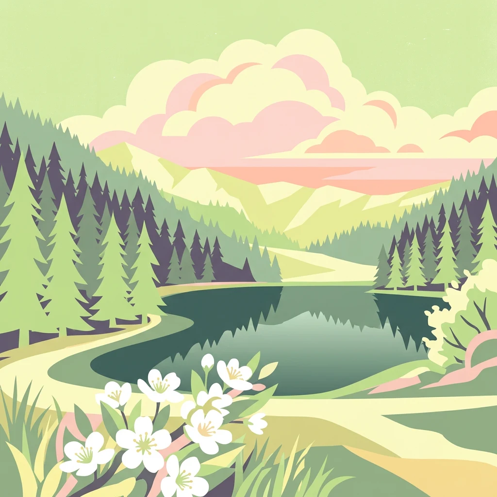
Stylized illustration of a lake with surrounding pine forests and mountains under a partly cloudy sky

Highland lake and alpine plateau nature reserve in Turkey's Black Sea Region

Karagöl-Sahara National Park

Karagöl-Sahara National Park is a protected highland landscape in northeastern Turkey's Black Sea Region, established in 1994. The park encompasses two distinct areas: the Karagöl lake basin and the Sahara plateau, both situated in the Şavşat district of Artvin Province at elevations averaging around 1,800 meters above sea level. Karagöl itself is a landslide lake formed when water accumulated in a basin behind a rotating mass of rock debris, creating a striking mountain lake surrounded by dense conifer forests. The Sahara plateau represents one of the limited flat areas at this high elevation, featuring alpine meadows and sparse conifer woodlands. The park is notable for its geological character, with Paleogene and Neogene sedimentary formations, active landslide zones, and basalt-covered terrain characteristic of the broader Anatolian highlands. Its location in the Black Sea Region places it within a biodiversity-rich zone that supports both forest and alpine ecosystems.

Location
Turkey
Park type
National park
Established
1994
Area
32.5 km²
Karagöl-Sahara National Park Atlas

Review Karagöl-Sahara National Park events by depth and distance

Search recorded earthquake history near Karagöl-Sahara National Park

Karagöl-Sahara National Park’s earthquake results are selected from reported epicentre coordinates and calculated park distance, not presumed to originate within the highland park. Their time, magnitude, depth, locality, separation, and source record provide historical evidence without suggesting that park conditions caused an event, defining current danger, or predicting future earthquakes.

Sort by
Magnitude
Location

This page describes catalogued earthquakes associated with the park by epicentre location and distance. It does not establish causation, assess current danger, or predict future earthquakes.

No earthquake records match the current filters

Park atlas

Move on from Karagöl-Sahara National Park earthquake history

Discover more protected parks beyond Karagöl-Sahara National Park

After the Karagöl-Sahara National Park earthquake catalogue, an independently selected group opens routes to other protected places. Inclusion does not demonstrate a common designation, environment, geology, seismic record, nearby location, hazard profile, risk, or comparable strength of documentation.
Watercolor illustration of a landscape with mountains, a river, and grassy fields
National parkGeorgia
53 km away#1 closest

Northeast

Borjomi-Kharagauli National Park: Protected Landscape Atlas of Georgia's Lesser Caucasus

Explore its unique forests, wildlife, and mountain terrain.

Delve into Borjomi-Kharagauli National Park, a significant protected area in Georgia's Lesser Caucasus region. This national park is renowned for its extensive old-growth forests, including rare Colchian fragments, and a remarkable concentration of endemic species. The park's dramatic mountainous terrain, spanning over 1,000 square kilometers, offers a rich tapestry of landscapes from deep valleys to alpine meadows, providing critical habitat for large mammals and contributing significantly to the region's biodiversity. Explore its mapped boundaries and geographic context for a deeper understanding of this vital conservation landscape.

Area
1,093 km²
Established
1995
IUCN
II
Relief
Mountain
Watercolor illustration of a landscape with rolling hills, forests, and a winding river.
National parkAdjara
About 53 km away#2 closest

Northwest

Kintrishi National Park: Protected Colchic Forest Canyon Landscape in Adjara

Explore the mapped geographic boundaries of this unique Georgian national park.

Kintrishi National Park, located in Georgia's Adjara region, is a protected landscape renowned for its exceptionally intact Colchic deciduous forests within a steep river gorge. This area showcases dense woodland, dramatic terrain, and the unique Colchican willow species, offering rich geographic context. As a key protected area, Kintrishi National Park provides a valuable focus for atlas-based exploration of southwestern Georgia's natural heritage.

Area
186.84 km²
Established
2007
IUCN
II
Scope
Terrestrial
Watercolor illustration of a landscape with green hills, trees, and a body of water
National parkAdjara
57 km away#3 closest

Northwest

Mtirala National Park: Protected Colchic Rainforest Landscape & Geographic Atlas

Explore Adjara's unique terrain and mapped protected boundaries.

Mtirala National Park, located in Georgia's Adjara region, is a protected national park renowned for its exceptionally high rainfall and ancient Colchic relict forests. This atlas-focused profile details the park's unique topography, its watershed between the Chakvistskali and Khoristskali rivers, and its significance as a vital ecosystem. Understand the geographic context of this protected landscape and its role in the broader Caucasus geography.

Area
281.26 km²
Established
2006
IUCN
II
Relief
Mixed relief
Watercolor illustration of a winding river through green hills with pink flowers in the foreground
National parkArtvin Province
About 57 km away#4 closest

West

Hatila Valley National Park: Dramatic V-Shaped Valley and Volcanic Terrain in Artvin Province

Explore protected landscape, waterfalls, and botanical diversity.

Hatila Valley National Park represents a significant protected area within Artvin Province, Turkey, notable for its exceptionally steep, V-shaped river valley. This national park features a striking volcanic landscape characterized by deep gorges, numerous waterfalls, and unique geomorphological structures. Its rich botanical diversity, with 769 documented plant species including many endemics, positions it as a key site for understanding protected landscapes and regional flora. The park's geographic setting at the eastern end of the Kaçkar Mountains provides context for its Mediterranean climate and varied terrain.

Area
169 km²
Established
1994
IUCN
II
Relief
Mountain
Watercolor painting depicting a mountain valley with rolling hills, forests, and a river
National parkAdjara
About 66 km away#5 closest

Northwest

Machakhela National Park: Adjara's Colchic Forest Protected Landscape

Explore Georgia's unique Caucasus mountain geography and mapped park boundaries.

Machakhela National Park represents a crucial protected area in Georgia's Adjara region, safeguarding the integrity of ancient Colchic broadleaf forests. This park's landscape is characterized by the steep Machakhelistsqali River valley, carved into the lower Caucasus mountains, offering a distinct geographic profile for atlas exploration. Discover the park's specific terrain, mapped boundaries, and its ecological significance as a vital component of the regional natural heritage.

Area
130.7 km²
Established
2012
IUCN
II
Relief
Mixed relief
Watercolor painting of green and pink mountain ranges under a light sky background
National parkSamtskhe–Javakheti
About 78 km away#6 closest

East

Javakheti National Park: Protected Highland Landscape and Wetland Atlas

Explore the unique geography and mapped park boundaries of this Georgian protected area.

Delve into Javakheti National Park, a significant protected landscape located in Georgia's Samtskhe, Javakheti region. This page serves as an entry point for understanding the park's distinctive highland terrain, its remarkable chain of lakes and marshes, and its protected area status. Explore the geographic context of this national park, its role in wetland conservation, and its value for structured atlas-based discovery of natural landscapes.

Area
238.53 km²
Established
2011
IUCN
II
Relief
Mixed relief
Watercolor illustration of rolling green fields, a lake, and distant hills under a sunset sky
National parkShirak Province
93 km away#7 closest

East

Lake Arpi National Park: High-Altitude Wetland Protected Landscape in Shirak Province

Mapped boundaries of an important South Caucasus conservation area.

Lake Arpi National Park offers a unique window into high-altitude wetland ecosystems on the Shirak and Javakheti plateau, located at roughly 2000 meters above sea level. Established as a national park in 2009, it protects critical habitats, including the central Lake Arpi, and serves as a vital sanctuary for numerous bird species. This protected area is distinguished by its alpine meadows, significant bird populations, and its distinct geographic setting within Armenia's northwestern region, providing rich context for atlas-based exploration of protected lands.

Area
250 km²
Established
2009
IUCN
II
Relief
Mountain
Watercolor landscape with mountains, river, forests, and wetlands
National parkGeorgia
98 km away#8 closest

Northwest

Kolkheti National Park: Mapped Wetland Landscape & Protected Area in Georgia

Explore the peat bogs, coastal ecosystems, and bird migration routes.

Discover Kolkheti National Park, a key protected national park located in Georgia's western coastal region. This atlas entry focuses on the park's extensive wetland environments, including its significant peat bogs and Lake Paliastomi, highlighting its role as a critical migratory bird corridor and a unique natural landscape within the Black Sea region. Understand its geographic context and protected area boundaries.

Area
807.99 km²
Established
1998
IUCN
II
Visitors
13.7K annual
MoriAtlas Explorer

Continue Exploring Karagöl-Sahara National Park's Geographic Landscape and Atlas Context

Delve deeper into the structured geography and mapped protected areas of Karagöl-Sahara National Park. Understand its regional significance within Artvin Province and the broader Black Sea highlands. MoriAtlas provides the detailed context you need to explore its unique terrain, from the landslide-formed Karagöl lake to the high-altitude Sahara plateau, fostering a comprehensive view of this protected natural landscape.

Global natural geography