Mori Atlas logo
National parkKhvalynsky National Park

Discover the protected landscape boundaries and regional geography of this designated national park.

Khvalynsky National Park: A National Park Mapped in Saratov Oblast, Russia

Khvalynsky National Park represents a key protected natural area within the Saratov Oblast region of Russia. As a designated national park, its mapped boundaries and geographic identity contribute significantly to understanding the regional landscape context. This MoriAtlas entry facilitates detailed atlas-driven exploration, allowing users to grasp the park's unique protected land status and its integration within the broader geography of Saratov Oblast.

chalk hillsoak-linden forestVolga RiverSaratov Oblastmountain forestsIUCN Category II

Khvalynsky National Park

National park

Park overview

Structured park overview, official facts, and landscape profile for Khvalynsky National Park

Khvalynsky National Park park facts, protected area profile, and essential visitor context
Review the core facts for Khvalynsky National Park, including designation, size, terrain, visitor scale, habitats, and operating context in one park-focused overview.

About Khvalynsky National Park

Khvalynsky National Park occupies a significant ecological and geographical position in the Volga River basin, protecting a unique landscape where the Pontic-Caspian steppe meets forested upland terrain. The park's core feature, the Khvalynsk Mountains, represents a raised plateau composed primarily of chalk and marl bedrock that has been sculpted by millions of years of erosion into a network of hills, ravines, and interconnected valleys. This geological foundation creates diverse micro-climates and habitat conditions across relatively short distances, supporting vegetation communities that would not typically occur together in this latitude. The forests that blanket the plateau are predominantly oak-linden communities with significant pine stands, forming what is among the most ecologically significant forest tracts in Saratov Oblast. The park is divided into three management zones that balance strict protection with recreational use and limited commercial activity, allowing visitors to experience the landscape through designated environmental trails while preserving core wilderness areas. The proximity to the Volga River, which forms the park's eastern boundary, adds a significant aquatic dimension to the protected area, with the river reaching its deepest point of 22 meters within park limits. This connection to one of Europe's longest rivers contributes to the park's ecological importance as a migratory corridor and riparian habitat.

Quick facts and research context for Khvalynsky National Park

Khvalynsky National Park covers 25,524 hectares along the right (west) bank of the Volga River in Saratov Oblast, Russia. The park was officially established in 1994 and encompasses the Khvalynsk Mountains, a chalk plateau with elevations reaching 369 meters at Belenkaya peak. Over 90 percent of the park consists of forest, primarily oak at 40 percent, linden at 30 percent, and pine at 21 percent. The park supports more than 970 vascular plant species, with 26 considered rare or endangered. The Volga River reaches its maximum depth of 22 meters within park boundaries. Approximately 30,000 to 35,000 visitors explore the park annually, participating in hiking, geological tours, and wildlife observation.

Park context

Deeper park guide and search-rich context for Khvalynsky National Park

Khvalynsky National Park history, landscape, wildlife, and travel context
Explore Khvalynsky National Park through its history, landscape character, ecosystems, wildlife, conservation priorities, cultural context, and seasonal travel timing in a structured park guide built for atlas discovery and search intent.

Why Khvalynsky National Park stands out

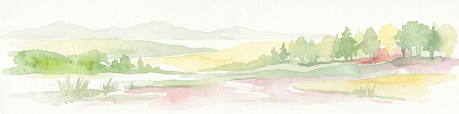
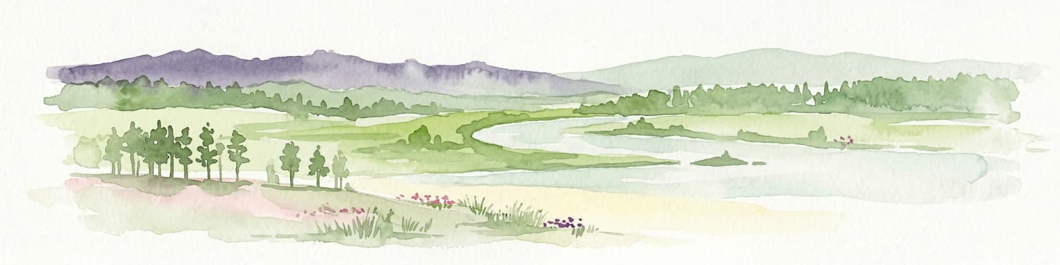
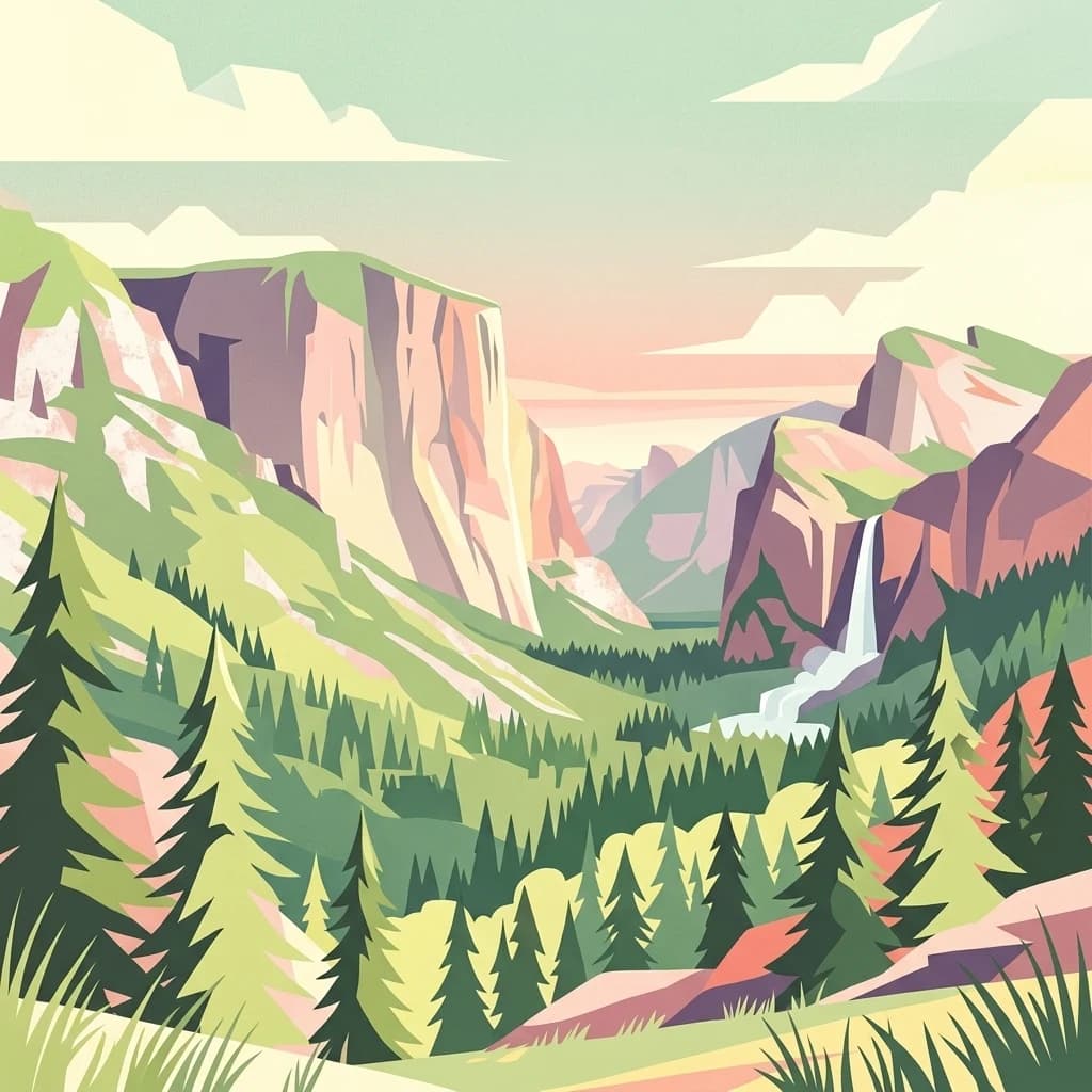
Khvalynsky National Park is best known for its distinctive chalk hills and the Khvalynsk Mountains, a rare geological formation in the Volga region where erosion has carved an intricate landscape of ravines, gullies, and rolling uplands. The park protects one of the most extensive tracts of mixed oak-linden forest in the Saratov Oblast, creating a verdant corridor along the Volga that contrasts sharply with the surrounding Pontic-Caspian steppe. The combination of chalk bedrock, forested slopes, and proximity to the Volga River creates exceptional habitat diversity, supporting species more typical of both forest and steppe ecosystems. The geological interpretation trail Puteshestvie po Dnu Drevnego Morya (Travel on the Bottom of an Ancient Sea) highlights the park's paleontological significance, revealing the ancient sea bed that once covered this region.

Khvalynsky National Park history and protected-area timeline

Khvalynsky National Park was officially established in 1994 as a protected natural area under Russian federal law, designated to preserve the unique chalk upland landscapes and forest ecosystems of the Khvalynsk Mountains region. The creation of the park responded to increasing environmental pressures on the Volga Uplands during the late Soviet and post-Soviet period, recognizing that the chalk hills and mixed forests represented irreplaceable natural heritage requiring formal conservation status. Prior to national park designation, the area had experienced various levels of protection as a nature reserve or protected zone, but the 1994 designation elevated its status and provided more comprehensive management frameworks. The park's establishment also reflected growing awareness of the region's geological significance, as the chalk formations contain fossil evidence of ancient marine environments that once covered this part of what is now inland Russia. In recent years, Khvalynsky has developed a sister park relationship with Fossil Butte National Monument in the United States, creating international connections around geological heritage interpretation. The park continues to operate under management plans that balance conservation objectives with controlled tourism and environmental education programs.

Khvalynsky National Park landscape and geographic character

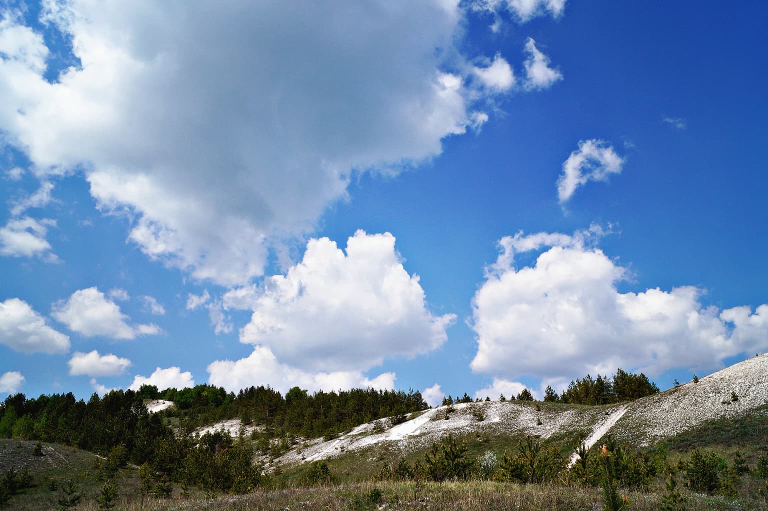
The physical landscape of Khvalynsky National Park is defined by the Khvalynsk Mountains, a raised plateau that rises prominently from the Volga River valley floor. The plateau's composition of chalk and marl bedrock has produced an erosion-sculpted terrain of exceptional topographic variety, featuring rolling hills, steep ravines, and interconnected gullies that create a dissected landscape quite different from the surrounding flat steppe. Six peaks exceed 250 meters in elevation, with Belenkaya reaching 369 meters as the park's highest point, its summit formed almost entirely of exposed chalk that gleams white against the green forest cover. The chalk bedrock influences not only the surface topography but also the hydrology of the area, with underground water frequently emerging as springs along slopes and ravine floors. Over 90 percent of the park is covered in forest, with the remaining areas supporting meadow, steppe, or exposed bedrock communities. The Volga River forms a natural eastern boundary, and the park includes sections of riparian habitat where the river's floodplain meets the upland terrain. The combination of elevated chalk plateau, forested slopes, and river valley creates a landscape of considerable scenic variety within a relatively compact area.

Khvalynsky National Park ecosystems, habitats, and plant life

The ecological character of Khvalynsky National Park reflects its position at the boundary between the Pontic-Caspian steppe and the forested ecoregions of the Volga basin. The park lies within the Pontic-Caspian steppe ecoregion, a broad band of grassland and occasional forest that stretches from central Ukraine eastward to the Ural Mountains. However, the protected status and elevation of the Khvalynsk Mountains have allowed the development of lush mixed forests that contrast sharply with the surrounding steppe. The forest composition is dominated by oak at approximately 40 percent, linden at 30 percent, and pine at 21 percent, with numerous other tree species contributing to the overall diversity. Over 970 vascular plant species have been documented within the park, including 26 species considered rare or endangered at regional or national levels. The habitat complexity created by the varied topography supports multiple vegetation types, from pine stands on drier slopes to moisture-loving communities in ravines and along small watercourses. The climate classification is humid continental with warm summers (Dfb), characterized by significant seasonal temperature variation, mild summers, and cold snowy winters lasting from late November to early April with an average snow depth of 33 centimeters.

Khvalynsky National Park wildlife and species highlights

The wildlife of Khvalynsky National Park benefits from the diverse habitat mosaic created by the park's varied topography, elevation range, and position between forest and steppe ecosystems. The presence of multiple ecological zones within a relatively small area supports a greater variety of species than would typically occur in either pure forest or pure steppe environments. Small mammals are abundant and include European hares, beavers, foxes, and wolves, representing both typical forest species and more open-country dwellers that utilize the forest edges and meadow corridors. The reptile community includes the common European adder (Vipera berus), a species that serves as an indicator of the complex habitat structure and prey availability. The park is particularly significant for birds of prey, with White-tailed Eagles and Ospreys breeding in the area and the endangered Saker Falcon using the park as hunting grounds. The Volga River corridor provides additional habitat for waterfowl and riparian species, while the various forest types support diverse songbird communities. A captive wildlife facility within the park allows visitors to observe representative species, and organized safari experiences offer opportunities for closer wildlife encounters by prior arrangement.

Khvalynsky National Park conservation status and protection priorities

Khvalynsky National Park serves as a critical conservation unit in the Volga region, protecting both the unique chalk hill ecosystem and the forest communities that have been significantly reduced across the Saratov Oblast. The park's protection of over 25,000 hectares of forest and steppe represents one of the most significant conservation investments in this part of Russia, preserving habitat for numerous species including several that are considered rare or endangered. The 26 rare or endangered plant species documented in the park include species of regional and national conservation concern, and the protected status helps ensure their long-term survival. The park's management zoning system, which divides the territory into protected, recreational, and commercial zones, reflects a balanced approach to conservation that allows for sustainable public use while maintaining core wilderness areas where human disturbance is minimized. The chalk hill ecosystems are particularly sensitive to disturbance, making their formal protection through national park status especially important. The park's sister park relationship with Fossil Butte National Monument in the United States demonstrates international recognition of the geological and conservation significance of this landscape.

Khvalynsky National Park cultural meaning and human context

The cultural context of Khvalynsky National Park includes elements of local heritage that have been incorporated into the visitor experience. The park contains a museum of everyday peasant life called Derevenskoe Podvorye (Village Farmstead), which preserves and interprets traditional rural culture of the Volga region. Chapels and sacred springs within the park reflect the spiritual relationship between local communities and the landscape, features that have drawn visitors for generations regardless of formal park status. The name Khvalynsk derives from historical references to the area, and the nearby town of Khvalynsk has its own local history museum that provides context for understanding human settlement in this part of the Volga basin. While the park itself is not known for major archaeological sites or extensive indigenous heritage, the integration of cultural features with the natural landscape creates a more complete visitor experience that reflects the long history of human presence in this region.

Top sights and standout views in Khvalynsky National Park

Khvalynsky National Park offers several distinctive highlights that set it apart among Russian protected areas. The geological interpretation trail Puteshestvie po Dnu Drevnego Morya provides visitors with an engaging educational experience explaining the ancient marine origins of the chalk formations, effectively telling the story of an ancient sea that once covered this landscape. The Peshchera Monakha (Monk's Cave) offers another geological attraction, while the family-oriented guesthouse provides accommodation for visitors seeking a longer stay. The park's ski resort on its edge extends the recreational season and offers winter activities that take advantage of the upland terrain. The combination of forest hiking, geological exploration, wildlife observation, and cultural interpretation creates a multifaceted destination that appeals to varied interests. The captive wildlife facility provides accessible encounters with representative species, while organized safari experiences offer more adventurous wildlife viewing opportunities.

Best time to visit Khvalynsky National Park

The best time to visit Khvalynsky National Park depends on the experience sought, with each season offering distinct advantages. The summer months from June through August bring warm conditions ideal for hiking the forest trails and exploring the geological features, though this is also the most popular period for visitors. The forest is in full leaf during these months, creating the characteristic green landscape that contrasts with the white chalk exposures. Autumn from September through October offers exceptional fall color as the oak and linden forests turn golden and amber, a particularly scenic time for photography and landscape appreciation. The shoulder seasons of spring and early summer feature wildflower displays in the meadows and forest clearings. Winter visits are possible but require preparation for cold temperatures and snow, conditions that limit some activities but appeal to those interested in the park's winter character. The ski resort operates during the cold season, providing winter recreation opportunities. The park is open year-round, though some facilities may have seasonal availability.

Park location guide

Geography guide, regional context, and park location map for Khvalynsky National Park

Khvalynsky National Park park geography, regions, and map view in Russia
Understand where Khvalynsky National Park sits in Russia through a broader geographic reading of the surrounding landscape, nearby location context, and its mapped position within the national park landscape.

How Khvalynsky National Park fits into Russia

Russia is a transcontinental nation spanning eleven time zones, bordered by fourteen countries. It is the world's largest country by area, covering 17,098,246 km². Moscow is the capital and largest city, while Saint Petersburg is the second-largest and a major cultural centre.

Wider geography shaping Khvalynsky National Park in Russia

Russia spans Eastern Europe and North Asia, covering 17,098,246 km². It shares land borders with fourteen countries, more than any other nation, and spans eleven time zones. The landscape includes vast plains, mountain ranges such as the Urals and Caucasus, and extensive coastlines along the Arctic Ocean, Pacific Ocean, Baltic Sea, Black Sea, and Caspian Sea.

Map view of Khvalynsky National Park

Use this park location map to pinpoint Khvalynsky National Park in Russia, understand its exact geographic position, and read its mapped placement within the surrounding landscape more clearly.

Pigeon | © OpenStreetMap contributors

Location context for Khvalynsky National Park

Saratov Oblast
Park atlas

Compare diverse protected landscapes in the Volga River region, tracing similar chalk hills and distinct forest ecosystems.

Explore Other National Parks and Protected Areas Near Khvalynsky National Park
Discover national parks and protected areas throughout the broader Volga River region, comparing landscapes with Khvalynsky National Park, including chalk hills, riverine ecosystems, and mixed forests. Trace the regional spread of protected chalk hills, mixed forests, and riverine habitats near Khvalynsky National Park, deepening your understanding of the interconnected conservation geography.
National park

Buzuluksky Bor National Park: An Atlas of Russia's Largest Isolated Pine Forest Ecosystem

Explore mapped boundaries and regional geographic context.

Delve into the protected landscape of Buzuluksky Bor National Park, a significant national park in European Russia. This page provides detailed atlas-level insight into its unique formation as the world's largest isolated pine forest, situated atop deep sandy plains and surrounded by steppe. Understand its geographic setting, the ancient dune geology, and the ecological significance of this remarkable natural reserve.

Area
1,060 km²
Established
2007
IUCN
II
Relief
Lowland
National parkRepublic of Mordovia

Smolny National Park: National Park Protected Area and Geographic Context in Republic of Mordovia

Explore the mapped landscape and regional geography of Smolny National Park.

Delve into the specifics of Smolny National Park, a designated national park in Russia's Republic of Mordovia. This detailed atlas view focuses on its protected area identity and geographic setting, providing essential context for understanding its landscape. Discover the mapped boundaries and regional placement that define this protected territory, crucial for any structured exploration of Russian natural areas.

Area
365 km²
Established
1995
IUCN
II
Relief
Lowland
National parkTatarstan

Nizhnyaya Kama National Park: Protected Area and Geographic Context in Tatarstan

Discover mapped boundaries and regional landscape insights.

Nizhnyaya Kama National Park serves as a distinct protected area within the republic of Tatarstan, Russia. This detail page provides essential geographic context and map-oriented information, focusing on the park's boundaries and its contribution to the regional landscape. It is designed for users seeking structured data on protected lands, offering a factual entry point for understanding this Russian national park within a broader atlas framework.

Area
265.87 km²
Established
1991
IUCN
II
Relief
Lowland
National parkBashkortostan

Bashkiriya National Park: Karst Geography and Protected Ural Forest Landscape

Explore Ural Mountains national park mapped boundaries and terrain.

Delve into the geography and protected landscape of Bashkiriya National Park, a significant national park within Russia's Bashkortostan region. This detailed page highlights its striking karst topography, extensive cave systems, and over 92 percent forest cover across the southern Ural Mountains. Understand the park's role as a conservation buffer zone and its unique position at the Europe-Asia biogeographical boundary through structured geographic data and mapped context.

Area
920 km²
Established
1986
IUCN
II
Relief
Mixed relief
National parkUdmurt Republic

Nechkinsky National Park: Protected River Valley Landscape and Archaeological Heritage

Explore Udmurt Republic's National Park Geography and Terrain

Nechkinsky National Park, situated in the Udmurt Republic, is a vital protected area distinguished by its prominent river valley landscape. The park's geography features a stark contrast between steep right-bank slopes and a wide, flat left-bank floodplain, bordered by the Votkinsk reservoir. This unique terrain supports diverse ecosystems and preserves thousands of years of archaeological heritage, making it a focal point for understanding the region's natural and cultural map.

Area
208 km²
Established
1997
IUCN
II
National parkRyazan Oblast

Meshchyorsky National Park: Ryazan Oblast Protected Landscape Exploration

National park geography and mapped terrain.

Investigate Meshchyorsky National Park, a key protected area situated in Ryazan Oblast, Russia. This page provides detailed atlas-level context, focusing on the park's geographic identity, its mapped boundaries, and its role as a national park within the regional landscape. Explore the natural terrain and discover the protected land's place in Central Russia's geography through structured data and mapping.

Area
66 km²
Established
1992
IUCN
II
Relief
Lowland
Watercolor painting of a lake surrounded by trees and distant hills
National parkVladimir Oblast

Meshchyora National Park: A Premier Wetland Protected Area in Vladimir Oblast

Explore its mapped boundaries and intricate floodplain geography.

Meshchyora National Park is a key protected landscape in central Russia, renowned for its expansive wetland ecosystems across the Meshchera Lowlands of Vladimir Oblast. Covering nearly 119,000 hectares, the park preserves a unique glacial terrain of peatlands, lakes, and meandering rivers, supporting remarkable biodiversity. Its role as a vital component of the Oka River basin and its conservation focus on restoring degraded peatlands make it a significant site for atlas-based geographic discovery and understanding protected area landscapes.

Area
1,189 km²
Established
1992
IUCN
II
Relief
Lowland
Watercolor illustration of a mountain range with purple peaks, green hills, a single tall pine tree, and pinkish foreground vegetation
National parkChelyabinsk Oblast

Zigalga National Park: National Park within Chelyabinsk Oblast's Southern Urals Geography

Mapped protected landscape and regional geographic context for atlas discovery.

Zigalga National Park offers a specific focus for exploring protected natural areas in Russia's Chelyabinsk Oblast. This page provides essential geographic data, detailing the park's mapped boundaries and its position within the Southern Urals region. Understand the park's unique protected landscape identity and its contribution to the atlas of Russian natural areas, fostering detailed map-based exploration and regional geographic understanding.

Area
457 km²
Established
2019
IUCN
II

Common questions about visiting, size, designation, and location context for Khvalynsky National Park

Khvalynsky National Park FAQs for park facts, access, geography, and protected area context
Find quick answers about Khvalynsky National Park, including protected-area facts, park geography, trail and visitor context, and how the park fits into its surrounding country and regional landscape.
MoriAtlas Explorer

Continue Your Protected Areas Search Across the Global Atlas

Deepen your exploration by continuing the structured search for national parks and protected areas worldwide. Utilize the comprehensive filtering capabilities to compare different conservation landscapes and refine your understanding of global park geography. Discover more about the distribution and characteristics of protected natural areas.

Global natural geography