Mori Atlas logo
Park earthquake history

A historical catalogue of regional seismic events associated with the river delta landscape.

Recorded Earthquake History and Seismic Records near Loevestein, Pompveld & Kornsche Boezem

Explore a structured collection of recorded earthquakes that have occurred within the proximity of Loevestein, Pompveld & Kornsche Boezem. This atlas-focused resource presents historical seismic events associated with the central river delta of the Netherlands by epicentre distance. Each entry includes recorded date, magnitude, and depth data to provide a transparent overview of historical activity in this low-lying region.

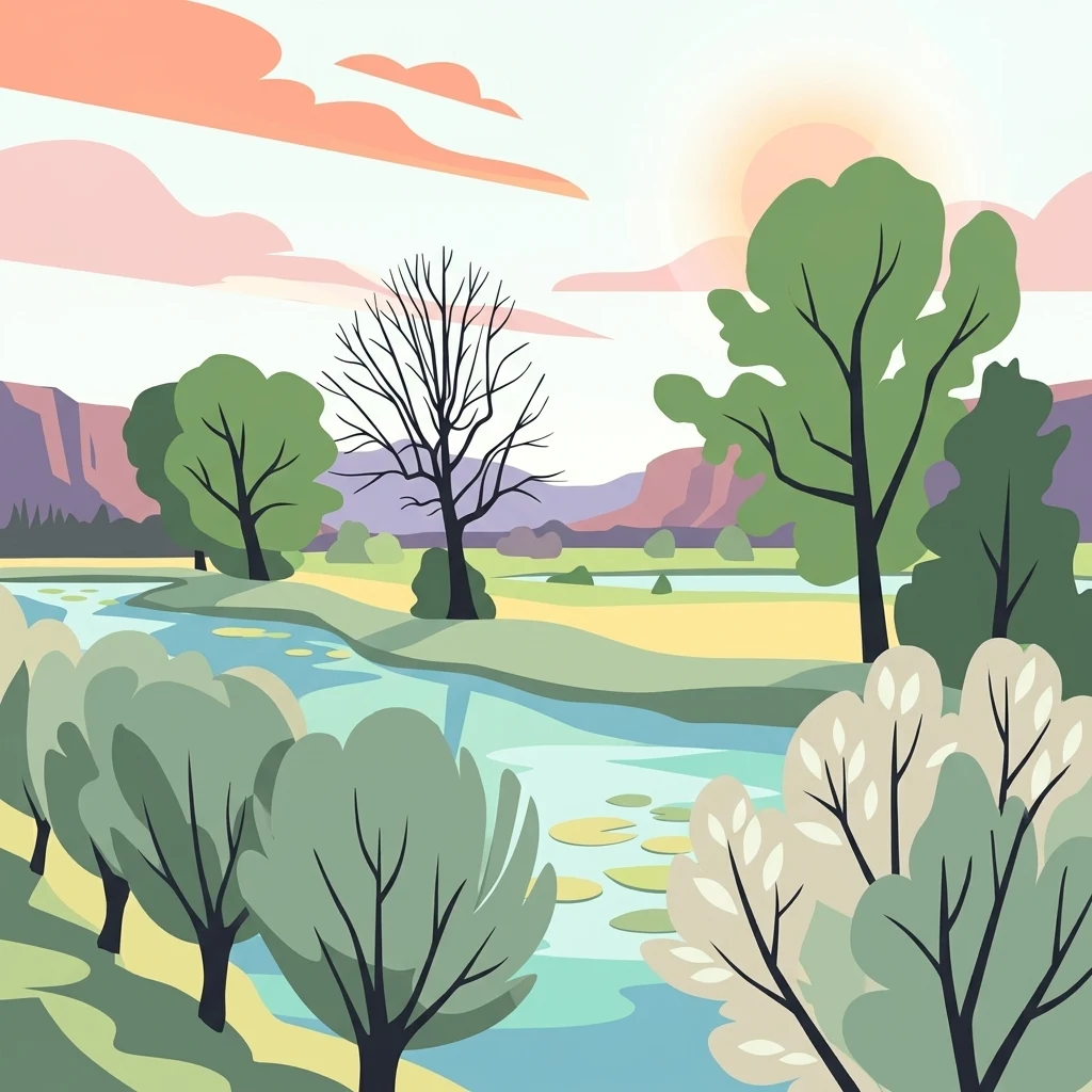
A flat-style digital illustration showing a winding river through a natural landscape with green and light-colored trees, lily pads on the water, and pinkish clouds in the sky.

A fragmented Dutch Natura 2000 site of riverland habitats around Loevestein castle and the Kornsche Boezem.

Loevestein, Pompveld & Kornsche Boezem

Loevestein, Pompveld & Kornsche Boezem is a Dutch Natura 2000 protected area located in the central river delta of the Netherlands, spanning the provinces of Gelderland and North Brabant. It is not a single contiguous nature reserve but rather a composite site made up of separate habitat patches arranged around the historic Slot Loevestein and along the floodplains and former stream channels of the Waal and Maas river systems. The site exists to safeguard riverine and wetland habitats that have become rare in this heavily cultivated, dike-managed lowland landscape. The site brings together three principal components: the natural areas around Slot Loevestein and the surrounding Bommelerwaard and Munnikenland managed by Staatsbosbeheer, the Pompveld area south of the N322 and N267 roads, and the Kornsche Boezem near the hamlet of Korn. Together they form a small but ecologically meaningful network of riparian, marshy, and semi-natural habitats in one of the most densely engineered river regions in Europe. Designated as a Habitat Directive site in 2013, Loevestein, Pompveld & Kornsche Boezem reflects the Dutch approach of grouping several distinct but related habitat fragments under a single Natura 2000 designation in order to protect the ecological coherence of the river landscape rather than a single bounded reserve.

Location
Netherlands
Park type
Nature reserve
Established
2013
Area
7.5 km²
Loevestein, Pompveld & Kornsche Boezem Atlas

Review Loevestein, Pompveld & Kornsche Boezem events and distances

Earthquake records near Loevestein, Pompveld & Kornsche Boezem

Earthquake evidence associated with Loevestein, Pompveld & Kornsche Boezem is linked through reported epicentres and measured distance from the riverland, floodplain, and marsh landscape. The catalogue supplies chronology, magnitude, depth, locality, separation, and source access without presuming occurrence inside the Natura 2000 area or attributing effects and causes to its wet habitats.

Sort by
Magnitude
Location

This page describes catalogued earthquakes associated with the park by epicentre location and distance. It does not establish causation, assess current danger, or predict future earthquakes.

No earthquake records match the current filters

Park atlas

Continue from a fragmented Dutch riverland habitat network

Explore beyond Loevestein, Pompveld & Kornsche Boezem

Loevestein, Pompveld & Kornsche Boezem connects earthquake observations with distinct Natura 2000 parcels around a castle and riverland habitats. The onward destinations are independent pages, not sites assumed to share fragmented geography, European protection, geology, seismic history, proximity, hazard, or evidence depth.
Nature reserveGelderland
About 5.2 km away#1 closest

North

Lingegebied & Diefdijk-Zuid: Protected Nature Reserve in Central Netherlands

A fragmented river landscape spanning three provinces

Lingegebied & Diefdijk-Zuid is a designated Natura 2000 nature reserve characterized by its scattered parcels of protected land. The area is deeply integrated into the Dutch river landscape, following the path of the Linge river and the historic Diefdijk. Its unique geography across four municipalities showcases the complex relationship between regional water management and protected European habitat types.

Area
7.5 km²
Established
2013
Relief
Lowland
Climate
Temperate
Watercolor illustration showing a network of rivers, trees, and hills in a wetland landscape
National parkNetherlands
5.2 km away#2 closest

West

De Biesbosch National Park: A Dutch National Park Mapping Tidal Wetlands and Flood Forests

Explore mapped waterways and diverse protected landscapes.

Delve into the geography of De Biesbosch National Park, a remarkable protected area in the Netherlands renowned for its extensive freshwater tidal wetlands. This national park showcases a unique landscape defined by intricate river systems, dominant willow flood forests, and vital reed beds, serving as a critical habitat for migratory birds and a prime example of wetland restoration. Understand its place within the regional geography through our atlas-driven approach to protected land discovery.

Area
90 km²
Established
1994
IUCN
II
Relief
Lowland
Watercolor illustration of rolling hills, a winding river, and fields with distant mountains
National parkNorth Brabant
9.2 km away#3 closest

South

Van Gogh National Park: National Park in North Brabant with Dune Landscapes

Explore mapped protected areas and regional geography.

Van Gogh National Park is a significant protected landscape in North Brabant, Netherlands, covering approximately 1,200 square kilometers. This national park is distinguished by its extensive drift sand dune systems, notable heathlands, and wooded valleys, offering a diverse terrain within the Dutch context. Named in tribute to Vincent van Gogh, it merges rich natural landscapes with cultural heritage, serving as a model for collaborative conservation and regional development, all mapped for detailed atlas exploration.

Area
1,200 km²
Established
2024
IUCN
II
Relief
Lowland
Watercolor artwork showing sand dunes, scattered trees, distant mountains, and soft sky
National parkNetherlands
9.8 km away#4 closest

South

De Loonse en Drunense Duinen National Park: Explore Dutch Protected Sand Drift Landscapes and Heathlands

National Park with unique living sand drift and dune terrain.

Navigate the geographic contours and protected land boundaries of De Loonse en Drunense Duinen National Park, a premier Dutch natural area. This national park is celebrated for its extensive living sand drift, one of the largest in Northern Europe, alongside significant heathlands and coniferous forests. Gain a structured understanding of its landscape character and its role within regional geography through detailed map context and atlas exploration tools.

Area
35 km²
Established
2002
IUCN
II
Relief
Lowland
Watercolor painting of a lush, green landscape with ferns and grasses in the foreground and a soft, hazy forest line in the background.
Protected areaNetherlands
About 27 km away#5 closest

Northeast

Kolland en Overlangbroek: Mapping the Rare Ash Floodplain Forest of the Netherlands

Historic estate landscape and protected woodland habitat.

Located between Wijk bij Duurstede and the Utrechtse Heuvelrug, Kolland en Overlangbroek preserves a vital fragment of alluvial ash forest. This protected area offers deep insight into Dutch floodplain geography, featuring a distinct mosaic of sandy ridges, silty backswamps, and centuries-old woodland managed for its unique bryophyte flora and groundwater-fed ecosystem.

Area
1.1 km²
Relief
Lowland
Climate
Temperate
Scope
Terrestrial
Watercolor landscape showing green hills, forests, and a small stream with grassy patches
National parkUtrecht Province
About 33 km away#6 closest

Northeast

Utrechtse Heuvelrug National Park: Mapped Protected Landscape and Geographic Atlas

Discover Utrecht Province's glacial ridge and diverse natural terrain.

Utrechtse Heuvelrug National Park is a significant protected natural area located in Utrecht Province, renowned for its unique glacial ridge topography. This entry provides detailed information about its mapped boundaries, diverse landscapes including heathlands and forests, and its importance as an ecological corridor within the Netherlands. Explore the park's distinct geography and its role in regional conservation through our structured atlas view.

Area
100 km²
Established
2003
IUCN
II
Visitors
1M annual
A watercolor painting showing a soft, idyllic landscape with rolling hills in the background, a winding path or stream in the middle ground, and grasses and trees in the foreground.
Nature reserveGelderland
About 40 km away#7 closest

Northeast

Binnenveld Nature Reserve: Protected Wetland and Meadowland in Gelderland

Rare blue grasslands and stream valley quaking bogs

Located in the Gelderse Vallei, Binnenveld stands as a vital nature reserve representing the complex history of Dutch polder landscapes. The area combines traditional meadowland with strictly protected habitats like the Bennekomse Meent, serving as a haven for meadow birds and an important site for ecological restoration and wetland preservation.

Area
1.11 km²
Established
2014
Relief
Lowland
Climate
Temperate
Protected areaNetherlands
45 km away#8 closest

Northeast

Veluwe: A Comprehensive Geographic Atlas of the Central Netherlands Protected Area

Glacial moraines, heathlands, and inland sand systems

Investigate the Veluwe, a premier protected area in the Gelderland province characterized by its historic push moraines and extensive ecological zones. The region encompasses significant sand drift complexes, dense woodlands, and vital spring-fed streams, offering a clear view of the diverse natural terrain found throughout the central Netherlands.

Area
1,000 km²
Relief
Upland
Climate
Temperate
Access
Easy access
MoriAtlas Explorer

Map the Riverine Landscapes of Loevestein, Pompveld & Kornsche Boezem

Continue your geographic research into Loevestein, Pompveld & Kornsche Boezem, a core Natura 2000 site in the Dutch river delta. Examine the structural importance of this managed habitat network and its role in protecting lowland riparian ecosystems through the MoriAtlas structured database.