Mori Atlas logo
National parkRaet National Park

Discover the mapped boundaries and unique geography of this significant marine national park in Agder.

Raet National Park: Norway's Distinctive Coastal Glacial Moraine Protected Landscape

(Raet nasjonalpark)

Raet National Park represents a critical protected landscape on Norway's southern coast, distinguished by its exceptional glacial moraine, the Raet, formed approximately 12,000 years ago. This national park, primarily composed of marine waters, showcases a unique blend of terrestrial moraine ridges, characteristic pebble beaches, and submerged glacial deposits. Located within Agder county, its boundaries encompass a remarkable geological feature that shapes both the coastline and the underwater terrain, offering a unique lens for exploring Norway's post-glacial geography and marine ecosystems.

Marine protected areaCoastal parkGlacial moraineKelp forestWetland habitatBirdwatching
Stylized illustration of a coastal beach with colorful rocks, cliffs, and calm sea under a light green sky with clouds

Raet National Park

National park

Park overview

Structured park overview, official facts, and landscape profile for Raet National Park

Raet National Park park facts, protected area profile, and essential visitor context
Review the core facts for Raet National Park, including designation, size, terrain, visitor scale, habitats, and operating context in one park-focused overview.

About Raet National Park

Raet National Park represents a significant addition to Norway's protected area network, established in December 2016 to preserve a distinctive coastal landscape that combines terrestrial, wetland, and marine environments. The park's core conservation value lies in the Raet moraine system—a massive glacial deposit that stretches along this section of the Norwegian coast, created when the continental ice sheet retreated northward at the end of the last glacial period. This geological formation is visible both as ridges on land and as submerged features beneath the park's marine waters, providing a rare opportunity to study and experience the legacy of glaciation in a coastal setting.

The park encompasses portions of the coastline between the towns of Grimstad, Arendal, and Tvedestrand, each offering visitor facilities and accommodation. While the terrestrial portion of the park is modest at 8 square kilometers, the 599 square kilometers of marine waters protect an extensive coastal ecosystem including shallow seas, rocky seabed, and sheltered coves. The coastal towns bordering the park provide practical access points for visitors, with Arendal serving as the nearest major settlement. The park's establishment reflects Norway's growing emphasis on marine protected areas, recognizing that the coastal zone contains significant ecological and geological values requiring preservation alongside terrestrial ecosystems.

The marine environment within Raet National Park supports diverse ecological communities adapted to the shallow, current-swept waters of Norway's southern coast. Kelp forests thrive on rocky substrates, providing habitat for numerous fish species and invertebrates, while more sheltered areas support eelgrass beds that serve as important nursery grounds for coastal fish. The seabed varies between rocky outcrops and areas of sand and gravel, creating a mosaic of habitats that contributes to the park's biological diversity.

Quick facts and research context for Raet National Park

Raet National Park occupies a coastal position in southeastern Norway's Agder region, encompassing marine waters, islands, and limited terrestrial areas across three municipalities. The park's defining geological feature is the Raet moraine, a glacial deposit system that can be traced throughout Scandinavia but is particularly well-preserved here in both above-water and underwater formations. The marine environment is shallow and exposed to westward coastal currents, with rocky seabed supporting kelp forests and sheltered areas harboring eelgrass beds. The land areas include rocky and sandy shores alongside wetland habitats such as the Nidelva delta, supporting significant bird populations including both resident species and migratory visitors.

Park context

Deeper park guide and search-rich context for Raet National Park

Raet National Park history, landscape, wildlife, and travel context
Explore Raet National Park through its history, landscape character, ecosystems, wildlife, conservation priorities, cultural context, and seasonal travel timing in a structured park guide built for atlas discovery and search intent.

Why Raet National Park stands out

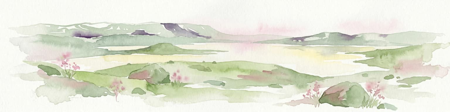
Raet National Park is best known for its exceptional glacial moraine landscape, the Raet, which represents one of the most prominent terminal moraine systems along Norway's southern coast. The park's namesake moraine, formed during the final stages of the last Ice Age approximately 12,000 years ago, creates a distinctive coastal geography both on land and beneath the sea. The area is noted for its pebble beaches, including the special landscape of Måen, a small unstable pebble island east of Tromøy that rises above the sea surface. The park is also recognized as a historic ships' graveyard, with many vessels having foundered on these treacherous waters over centuries. The combination of glacial geology, marine ecosystems, and ornithological significance makes Raet a notable destination for understanding Norway's post-glacial coastal development.

Mountainous landscape featuring turquoise lake, snow-dusted peaks, and rocky cliffs under a partly cloudy sky
Panoramic mountain lake landscape with snow-capped peaks and rocky terrain under partly cloudy skies

Raet National Park history and protected-area timeline

Raet National Park was established on 16 December 2016 through formal designation by the Norwegian government, making it one of Norway's newer national parks. The creation of the park reflected a growing recognition of the conservation value inherent in Norway's coastal zones and the specific geological significance of the Raet moraine system. Prior to national park designation, the area had already received protection through other mechanisms, but the elevated status of national park provided stronger legal protection and raised the profile of the area's unique values.

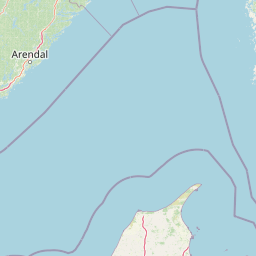
The establishment of Raet National Park also continued Norway's tradition of creating marine-focused protected areas, with the park's designation following patterns seen in other Norwegian coastal parks where marine environments dominate the protected territory. The governance of the park falls to the Norwegian Environment Agency, which manages the protected area in coordination with local municipal authorities. The decision to create a national park spanning three municipalities—Arendal, Tvedestrand, and Grimstad—required coordination between different administrative bodies and reflected the geographic continuity of the moraine system that does not respect municipal boundaries.

The Raet moraine itself has been a subject of geological interest for centuries, representing a tangible record of the final stages of the last Ice Age in this region. The formation's significance extends beyond the park's boundaries, as the same glacial deposit system continues eastward to Jomfruland National Park in Telemark and onward to Mølen in Vestfold, creating a chain of related geological features across southeastern Norway's coast.

Raet National Park landscape and geographic character

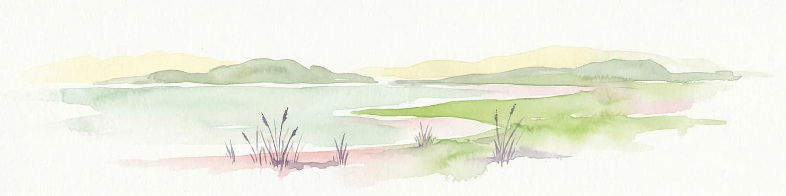
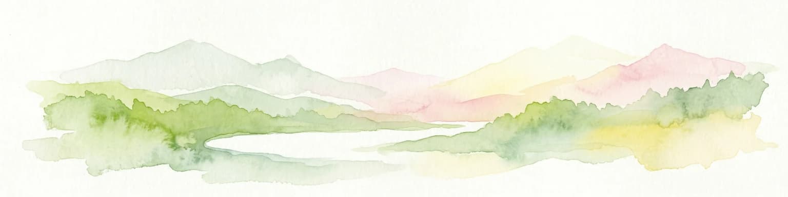
The landscape of Raet National Park is defined by its position at the intersection of terrestrial and marine environments, with the dominant feature being the glacial moraine that gives the park its name. The Raet moraine consists of unsorted glacial debris—boulders, pebbles, gravel, sand, and clay—deposited as the great ice sheet retreated approximately 12,000 years ago. On land, this material forms ridges and irregular terrain that characterize the coastal areas included within the park boundaries. Underwater, the moraine continues as submerged features shaping the seabed and influencing marine currents.

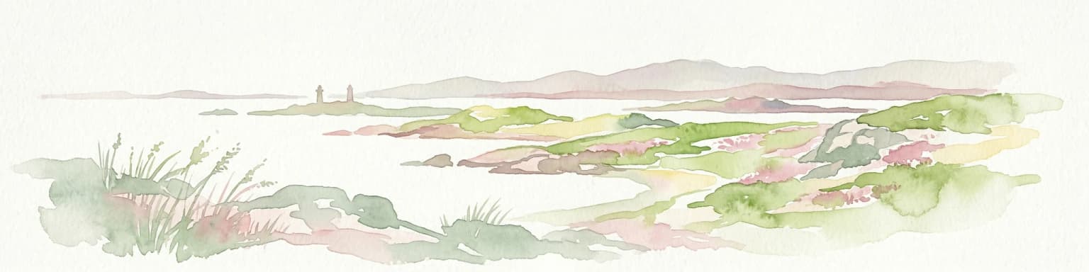
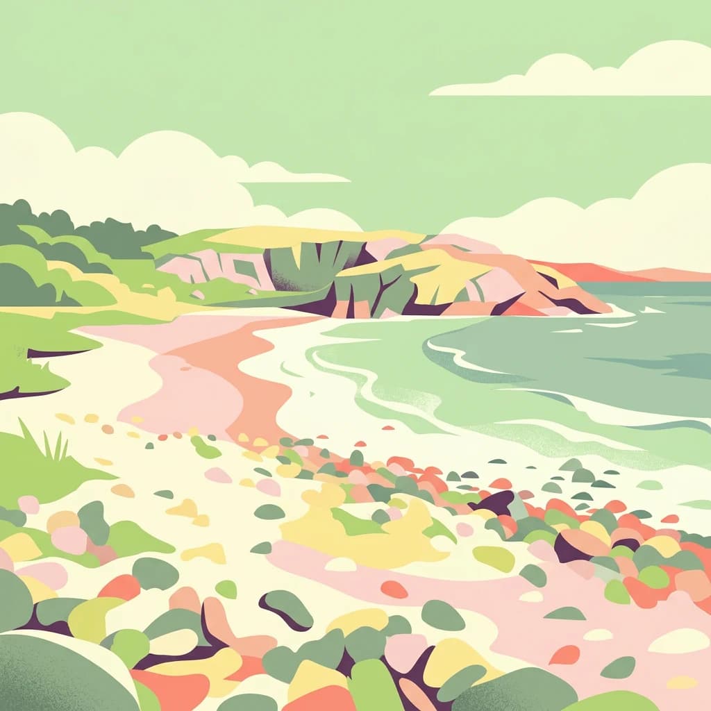
The coastal scenery within the park includes a variety of beach types, with pebble beaches being particularly characteristic. Where wave action has sorted the glacial material, distinctive pebble beaches have formed, while in more protected coastal areas, the moraine material has been ground into finer sands that create more inviting swimming beaches. Notable examples include the beach at Hove on Tromøya and the shores of Merdø island, both offering accessible sandy beaches for visitors. The park also includes several islands, with Jerkholmen representing a small island composed primarily of moraine material, and Måen forming an unusual pebble island that rises unstable above the sea surface east of Tromøy.

Inland from the immediate coastline, agricultural landscapes border the park, though these productive farmlands lie outside the protected area boundaries. The transition from park to farmland creates a characteristic agricultural Coastline where the rocky and wetland areas of the protected zone meet cultivated fields, reflecting the long history of human settlement and land use in this region of Norway.

Raet National Park ecosystems, habitats, and plant life

The nature of Raet National Park encompasses both marine and terrestrial ecosystems, with the marine environment forming the park's ecological core. The shallow coastal waters within the park experience consistent westward-flowing currents that bring nutrient-rich water along the coast, supporting productive marine communities. Rocky seabed areas host extensive kelp forests, with laminarian kelps forming underwater forests that provide structure and habitat for numerous species of fish, invertebrates, and algae. These kelp forest ecosystems represent some of the most productive marine habitats in temperate waters, supporting complex food webs and serving as important nursery areas for many fish species.

In contrast to the exposed rocky areas, more sheltered coastal zones within the park support eelgrass meadows. Eelgrass (Zostera marina) forms extensive beds in the calmer, more protected areas where the water movement is reduced and substrates are suitable for rooted aquatic vegetation. These eelgrass communities provide important ecosystem services, including water column filtration, sediment stabilization, and habitat for juvenile fish and invertebrates. The combination of kelp forests on rocky substrates and eelgrass beds in sheltered areas creates a diversity of marine habitats within the relatively limited marine area.

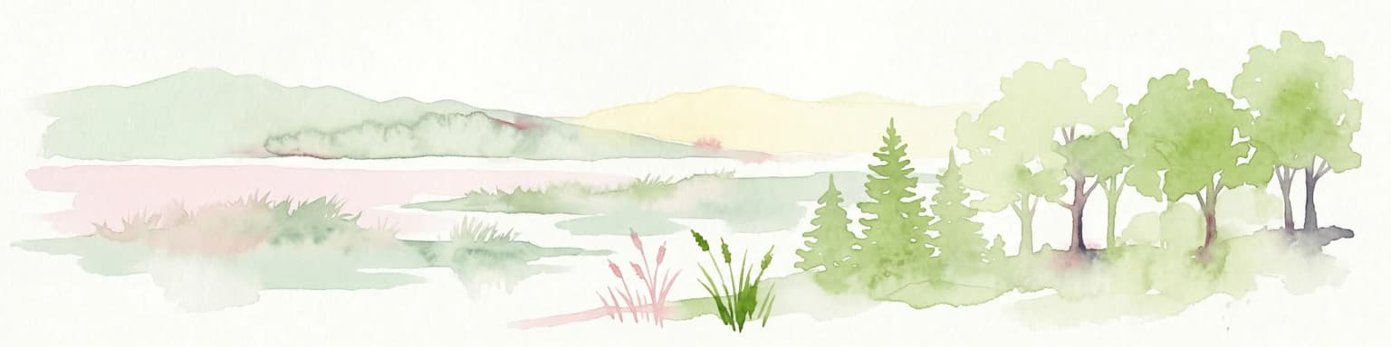
The terrestrial and wetland components of the park, though smaller in area, provide important habitat complements to the marine environment. The Nidelva delta represents a brackish water wetland where the river meets the sea, creating habitat conditions that support specialized plant and animal communities adapted to varying salinity. Rocky shores, sandy beaches, and additional wetland areas contribute to the park's habitat diversity, supporting the rich bird populations for which the area is known.

Raet National Park wildlife and species highlights

The wildlife of Raet National Park reflects the coastal and marine focus of the protected area, with particular significance attached to bird populations and marine species. The park supports rich bird life, with both resident species that remain throughout the year and migratory species that use the area as a staging point during their seasonal journeys between winter quarters and breeding grounds. The wetland habitats, particularly the Nidelva delta, serve as important feeding and resting areas for migratory birds, while the various coastal habitats provide nesting opportunities for seabirds and shorebirds.

The marine waters of the park support diverse fish communities and invertebrates that inhabit the kelp forests and rocky substrates. While the Wikipedia source does not provide detailed species lists, the kelp forest ecosystem is known to support numerous fish species in similar Norwegian coastal waters, including various species of wrasse, cod, and other demersal fish that use the complex three-dimensional habitat provided by the kelp. The eelgrass beds serve as nursery areas for many juvenile fish species, providing shelter among the vertically structured seagrass leaves.

The coastal location of the park also brings marine mammals into the area, though the source does not specify which species are present. Norwegian coastal waters are home to various seal species and occasional cetacean visitors, and these animals would likely use the waters of Raet National Park as part of their broader range along this section of coast.

Raet National Park conservation status and protection priorities

Raet National Park represents an important conservation designation for Norway's southern coastal environment, protecting a combination of geological, marine, and terrestrial values within a single protected area. The primary conservation significance of the park lies in the preservation of the Raet moraine system, which serves as an accessible example of late Quaternary glacial geology. The protection of this geological formation ensures that future generations can study and experience this tangible record of the last Ice Age's impact on the Norwegian landscape.

The marine conservation aspect of the park addresses the relatively limited representation of coastal marine ecosystems within Norway's protected area network. By designating 599 square kilometers of marine waters as a national park, the designation contributes to Norway's commitments to marine protection and the broader goal of establishing comprehensive marine protected area networks. The kelp forest and eelgrass communities within the park represent productive coastal marine ecosystems that benefit from the protections afforded by national park status.

The bird populations of Raet National Park, particularly those associated with the wetland habitats and migratory bird populations, represent another significant conservation value. The protection of the Nidelva delta and other wetland areas ensures that these important bird habitats remain available as feeding and resting areas for both breeding and migratory bird populations. The park's designation as an IUCN Category II protected area provides a framework for management that balances conservation with sustainable use, allowing for continued public access and enjoyment while ensuring the protection of the area's key values.

Raet National Park cultural meaning and human context

The cultural context of Raet National Park is closely tied to the long history of human settlement along this productive section of the Norwegian coast. The towns of Grimstad, Arendal, and Tvedestrand, which border or lie near the park, each have histories extending back centuries as important settlements in the regional economy. The coastal location provided access to marine resources, while the surrounding agricultural lands supported farming communities that shaped the cultural landscape of the region.

The maritime history of the area is particularly evident in the reference to the waters of Raet as a ships' graveyard. The combination of shallow waters, rocky hazards created by the moraine deposits, and the exposure to coastal currents has resulted in numerous shipwrecks in this area over centuries of maritime activity. This navigational challenge has shaped the relationship between local communities and the sea, contributing to the region's maritime heritage and the historical understanding of this coastal zone.

While the park itself focuses on natural values, the surrounding cultural landscape reflects the interaction between human communities and the natural environment over generations. The agricultural lands that border the protected area represent centuries of farming activity that have shaped the terrain between the coast and the interior. This cultural landscape context enhances the understanding of Raet National Park as a protected area that preserves natural values within a broader cultural setting shaped by generations of coastal settlement and use.

Top sights and standout views in Raet National Park

Raet National Park offers visitors the opportunity to experience one of Norway's most significant glacial moraine systems in a coastal setting where the geological legacy of the last Ice Age is visible both above and below the water's surface. The park's marine focus distinguishes it from many terrestrial-focused protected areas, providing access to productive kelp forest ecosystems and diverse coastal habitats. The pebble beach landscape, including the unusual Måen island with its unstable pebble ridge rising above the sea, represents a distinctive coastal feature not commonly found in other Norwegian protected areas.

The combination of geological significance, marine ecology, and ornithological value creates a park with multiple dimensions of interest. Visitors can explore the glacial deposits that form the park's terrestrial core, observe the underwater kelp forests through diving or snorkeling activities, or appreciate the bird populations that use the wetland habitats. The proximity of the park to established coastal towns provides practical visitor infrastructure while maintaining the protected status of the area's key natural values. The connection to related protected areas eastward—Jomfruland National Park and Mølen—suggests opportunities for understanding the broader geological context of the Raet moraine system along southeastern Norway's coast.

Best time to visit Raet National Park

Raet National Park can be visited throughout the year, though the experience varies with the seasons in typical Norwegian coastal fashion. The summer months of June through August offer the warmest conditions for outdoor activities, including beach visits to the sandy shores at Hove and Merdø, and the longest daylight hours for exploring the park's various environments. This is also the peak season for bird watching, as migratory species are present during the summer breeding season and the wetland habitats are particularly active.

The shoulder seasons of spring and autumn offer different experiences, with spring bringing the return of migratory birds and perhaps more dynamic weather conditions along the coast. Autumn may offer excellent conditions for marine viewing and potentially calmer visitor volumes outside the peak summer season. Winter visits provide the opportunity to experience the park in a more remote and contemplative mood, though the limited daylight hours and colder conditions require appropriate preparation. The park's marine and coastal focus means that weather conditions can change rapidly throughout the year, and visitors should be prepared for the variable conditions typical of Norway's southern coast.

Park location guide

Geography guide, regional context, and park location map for Raet National Park

Raet National Park park geography, regions, and map view in Norway
Understand where Raet National Park sits in Norway through a broader geographic reading of the surrounding landscape, nearby location context, and its mapped position within the national park landscape.

How Raet National Park fits into Norway

Norway, officially the Kingdom of Norway, is a Nordic country in Northern Europe located on the Scandinavian Peninsula. It encompasses mainland Norway, the Arctic islands of Svalbard and Jan Mayen, and maintains dependencies including Bouvet Island and Antarctic claims. The country has a population of about 5.6 million and is bordered by Sweden, Finland, and Russia. Norway is a unitary parliamentary constitutional monarchy with Oslo as its capital and largest city.

Wider geography shaping Raet National Park in Norway

Norway occupies the western and northern portions of the Scandinavian Peninsula in Northern Europe. The country shares a long eastern border with Sweden, and borders Finland and Russia to the northeast. Norway has an extensive coastline facing the Skagerrak, North Sea, Norwegian Sea, and Barents Sea. The terrain is predominantly mountainous with numerous fjords along the coastline.

Map view of Raet National Park

Use this park location map to pinpoint Raet National Park in Norway, understand its exact geographic position, and read its mapped placement within the surrounding landscape more clearly.

Pigeon | © OpenStreetMap contributors

Location context for Raet National Park

Agder

Visual Guide to Norway's Distinctive Marine Protected Area, Featuring Pebble Beaches and Underwater Kelp Forests

Raet National Park Photos: Explore Coastal Landscapes, Glacial Moraines, and Marine Scenery
Browse a comprehensive gallery of Raet National Park photos to visually grasp its unique coastal landscapes, distinct glacial moraine formations, and diverse marine environments. The collection provides essential insight into the park's characteristic pebble beaches, submerged kelp forests, and overall protected area scenery in southeastern Norway.

Mountainous landscape featuring turquoise lake, snow-dusted peaks, and rocky cliffs under a partly cloudy sky

Rocky beach with waves crashing against shore, showing coastal landscape with hills in background

Park atlas

Trace the regional spread of Norway's unique coastal protected landscapes, marine ecosystems, and glacial moraine formations for comparison.

Explore Nearby National Parks and Protected Areas Around Raet National Park, Norway's Marine Coastal Gem
Browse a curated selection of national parks and protected areas in the vicinity of Raet National Park, encompassing Norway's distinct coastal geography and marine glacial moraine systems. Compare adjacent protected landscapes, understand their regional context, and deepen your atlas exploration of southeastern Norway's unique marine and terrestrial conservation zones.
National parkTelemark

Jomfruland National Park: Coastal Archipelago and Skagerrak Marine Atlas

Norway's unique marine-focused national park landscape.

Jomfruland National Park is a significant protected landscape in Telemark, Norway, renowned for its coastal island geography and a landscape predominantly composed of marine waters. Covering 117 square kilometers, this national park emphasizes the conservation of both terrestrial island habitats and the surrounding Skagerrak coastal ecosystem. Explore the park's mapped boundaries and discover its regional geographic context, offering a unique perspective on Norway's protected areas and maritime natural heritage through MoriAtlas.

Area
117 km²
Established
2016
IUCN
II
Scope
Mixed
Watercolor illustration of a coastal landscape with reeds in shallow water and distant green hills under a pale yellow sky
National parkFærder Municipality

Færder National Park: Norway's Coastal Archipelago & Marine Protected Area Atlas

Explore mapped landscapes and regional geography.

Færder National Park represents a significant protected landscape in Norway, characterized by its extensive marine environment and scattered archipelago. Situated east of Færder Municipality, the park's geography is defined by a mosaic of granite islands, coastal waters, and the iconic Færder Lighthouse. This entry provides atlas-level insight into the park's mapped boundaries, its role as a protected coastal ecosystem, and its contribution to the broader regional geography of Norway's southern coast.

Area
340 km²
Established
2013
IUCN
II
Relief
Lowland
National parkVästra Götaland County

Kosterhavet National Park: A Marine National Park Exploring Unique Archipelago Geography

Discover its mapped underwater terrain and rich marine biodiversity.

Kosterhavet National Park, located in Västra Götaland County, is Sweden's first marine national park, dedicated to protecting the unique aquatic environment of the Koster Islands. This protected area is renowned for its exceptional marine biodiversity, including rare cold-water coral reefs and the country's largest seal colony, all situated within a dramatic underwater geography characterized by deep fjords. Use MoriAtlas to explore the mapped extent of this vital marine protected landscape and understand its significant place in regional and national conservation efforts.

Area
388.78 km²
Established
2009
IUCN
II
Visitors
90K annual
National parkØstfold

Ytre Hvaler National Park: Norway's Coastal Marine Protected Landscape Atlas

Explore protected archipelago geography and unique cold water coral reefs.

Discover Ytre Hvaler National Park, a pivotal marine protected area on Norway's Østfold coast. This atlas entry provides detailed insight into its defining skerry landscape, the significant Tisler cold water coral reef, and its role as a protected marine ecosystem. Understand the mapped boundaries and geographic context of this unique Norwegian coastal wilderness, crucial for understanding the region's natural and maritime heritage.

Area
354 km²
Established
2009
IUCN
II
Watercolor illustration of a landscape with trees, water, and distant hills
National park

Thy National Park: Explore Denmark's First Protected Coastal Landscape and Heathlands

Mapped dune systems, rare heath habitats, and coastal geography.

Thy National Park, Denmark's inaugural national park, protects a significant expanse of windswept coastal terrain. This area is renowned for its rare dune heaths, a habitat of particular European ecological importance, and a landscape shaped by a century of sand drift stabilization efforts. The park's diverse geography includes extensive sandy heaths, conifer plantations, and a striking coastline along the North Sea, offering rich opportunities for atlas exploration of protected natural areas and their surrounding regional context. Discover the mapped extent of this vital conservation landscape.

Area
244 km²
Established
2007
Relief
Lowland
Climate
Temperate
National parkVästra Götaland County

Tresticklan National Park: Preserved Old-Growth Forest on Rocky Heathland

Explore the geographic context and mapped boundaries of this vital protected area.

Tresticklan National Park is a vital protected landscape in Västra Götaland County, Sweden, safeguarding one of southern Scandinavia's most significant old-growth forest ecosystems. The park's terrain is defined by exposed granite bedrock, sparse heath pine forests, and a wild, remote character. MoriAtlas provides a structured overview of Tresticklan National Park, detailing its geographic setting and protected area status for explorers and cartographers.

Area
28.97 km²
Established
1996
IUCN
II
Relief
Upland
National parkVestland

Hardangervidda National Park: Vast Arctic Plateau and European Peneplain Discovery

Explore Norway's largest national park and its unique tundra ecosystem.

Delve into the geography of Hardangervidda National Park, Norway's largest national park, featuring the expansive Arctic plateau and Europe's largest peneplain. This protected landscape offers a unique mapped environment characterized by treeless moorland, numerous lakes, and important wildlife habitats, including significant wild reindeer populations. Understand its position within the Vestland region and its value as a key protected area for geographic exploration and landscape context.

Area
3,422 km²
Established
1981
IUCN
II
Relief
Highland
Watercolor illustration of a mountain landscape with green vegetation and pastel-colored peaks
National parkVestland

Folgefonna National Park: Norway's Premier Glacier Protected Landscape

Mapped glacial terrain and park boundaries in Vestland.

Folgefonna National Park in Vestland, Norway, stands as a premier protected area defined by its vast ice cap and dramatic glacial geography. This page details the park's mapped boundaries, showcasing its impressive glacial formations, U-shaped valleys, and distinct alpine landscapes. Understand the geographic context and protected status of Folgefonna National Park, a key destination for exploring Norway's glacier heritage through an atlas-driven lens.

Area
545.2 km²
Established
2005
IUCN
II
Relief
Mountain

Common questions about visiting, size, designation, and location context for Raet National Park

Raet National Park FAQs for park facts, access, geography, and protected area context
Find quick answers about Raet National Park, including protected-area facts, park geography, trail and visitor context, and how the park fits into its surrounding country and regional landscape.
MoriAtlas Explorer

Continue Your Protected Areas Search Across the Global Atlas

Deepen your exploration by continuing the structured search for national parks and protected areas worldwide. Utilize the comprehensive filtering capabilities to compare different conservation landscapes and refine your understanding of global park geography. Discover more about the distribution and characteristics of protected natural areas.

Global natural geography