Mori Atlas logo
Nearby park discovery

Regional mapped terrain and spatial distribution of nearby conservation corridors

Protected Landscapes and Regional Park Geography Surrounding the Sankarani River

This geographic overview focuses on the spatial arrangement of protected areas situated in the vicinity of the Sankarani River. By examining the surrounding river basin and highland terrain, the map-based analysis highlights the distribution of nearby conservation landscapes. These insights provide context for the hydrological and ecological corridors defining this West African waterway.

Related tags

West Africatributary riverNiger River basinFouta Djallonfloodplain

A West African tributary of the Niger River flowing from the Fouta Djallon highlands through Guinea into Mali

Sankarani River

The Sankarani River is a northward-flowing tributary of the Niger River in West Africa. It originates in the Guinea Highlands of the Fouta Djallon in Guinea, crosses into southern Mali, and joins the Niger roughly 40 kilometres upstream of Bamako, the Malian capital. The river also serves as a segment of the international border between Guinea and Ivory Coast, and between Guinea and Mali. The Sankarani watershed is one of the larger river systems of the upper Niger basin, covering approximately 35,500 square kilometres, of which about two-thirds lies within Guinea. Through its tributaries, iron- and gold-bearing landscapes, agricultural floodplains, and gallery forests, the river plays an important ecological and economic role for communities along its course. The river is internationally recognised as a Ramsar Wetland under the official designation Sankarani-Fié, a recognition that underscores the value of its floodplain, wetland habitats, and the conservation significance of the broader river system.

Location
Guinea
Park type
Protected area
Established
2002
Sankarani River Protected Area Map
Regional park map

See the ranked park cluster in its geographic setting

Nearby parks around Sankarani River

This regional map shows the same 20 nearby parks ranked below around Sankarani River. Select a ranked marker to highlight that park’s boundary where boundary data is available.
Reference park: Sankarani RiverRanked nearby park20 nearby parks shown
20 nearby parks

Explore distance-sorted neighboring conservation zones and regional environmental patterns

Ranked Protected Areas and Surrounding Regional Park Geography Near Sankarani River

Examine the ranked collection of protected areas situated geographically near Sankarani River based on direct boundary separation and directional context. Structured comparison signals reveal surrounding conservation landscapes, regional park geography, and diverse habitat types across the broader watershed.
National parkKayes Region
About 233 km away#1 closest

North
Boucle du Baoulé National Park: National Park Geographic Context and Atlas Discovery

Explore mapped boundaries and regional landscape.

Boucle du Baoulé National Park is a designated national park situated in the Kayes Region, offering a focal point for geographic exploration within Mali. This entry provides critical atlas-level details on its protected landscape, enabling users to trace its mapped boundaries and understand its position within the surrounding natural terrain. Dive into the specific geography of Boucle du Baoulé National Park to enhance your understanding of protected areas and their regional significance.

Area
25,330 km²
Established
1982
IUCN
II
Climate
Arid
National parkMali
About 246 km away#2 closest

West

Kouroufing National Park: Mali's National Park with Defined Protected Landscape Boundaries

Explore the mapped geography and protected land context of Kouroufing National Park.

Kouroufing National Park is a significant protected area recognized as a national park within Mali. This entry focuses on its distinct geographic identity and mapped boundaries, essential for understanding its role in the regional atlas. Examine the park's protected landscape context and how it contributes to the natural geography of West Africa. This resource is tailored for users seeking detailed information on specific protected areas rather than broad travel advice.

Area
557 km²
Established
2002
Scope
Terrestrial
Water
No major water
National parkFaranah Region
About 265 km away#3 closest

Southwest

National Park of Upper Niger: Mapped Savanna and Forest Protected Area in Faranah Region

A key West African conservation site with critical riparian corridors.

Spanning 6,000 square kilometers, the National Park of Upper Niger serves as a primary reservoir for biodiversity in Guinea. The park features a distinct transition between open woodland savanna and forested river corridors along the Niger and Mafou Rivers. It remains a significant model for community-led conservation and habitat preservation in West Africa, representing one of the region's few areas with relatively low human impact.

Area
6,000 km²
Established
1997
IUCN
II
Relief
Mixed relief
National parkGuinea
About 265 km away#4 closest

Southwest

National Park of Upper Niger: A Geographic Overview of Guinea Protected Lands

Savanna woodland and riparian forest conservation in West Africa

Located in eastern Guinea, the National Park of Upper Niger serves as a significant conservation stronghold for the region. Its diverse terrain includes vast savanna woodlands, essential riparian forest corridors along the Niger River, and the rare Mafou dry forest. This protected area provides a critical refuge for numerous mammal species and represents a key segment of the West African savanna-forest ecosystem.

Area
6,000 km²
Established
1997
Relief
Upland
Climate
Tropical
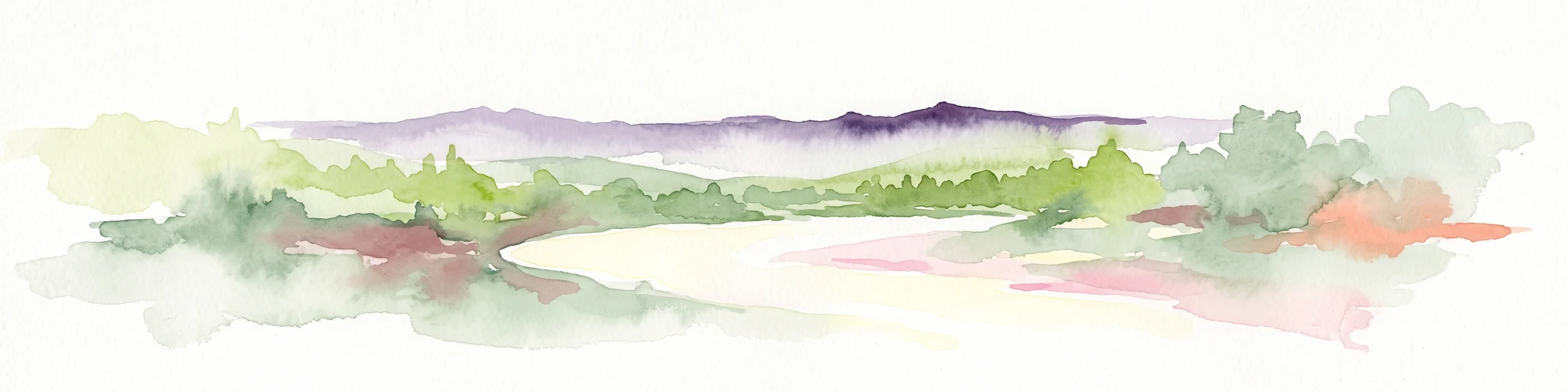
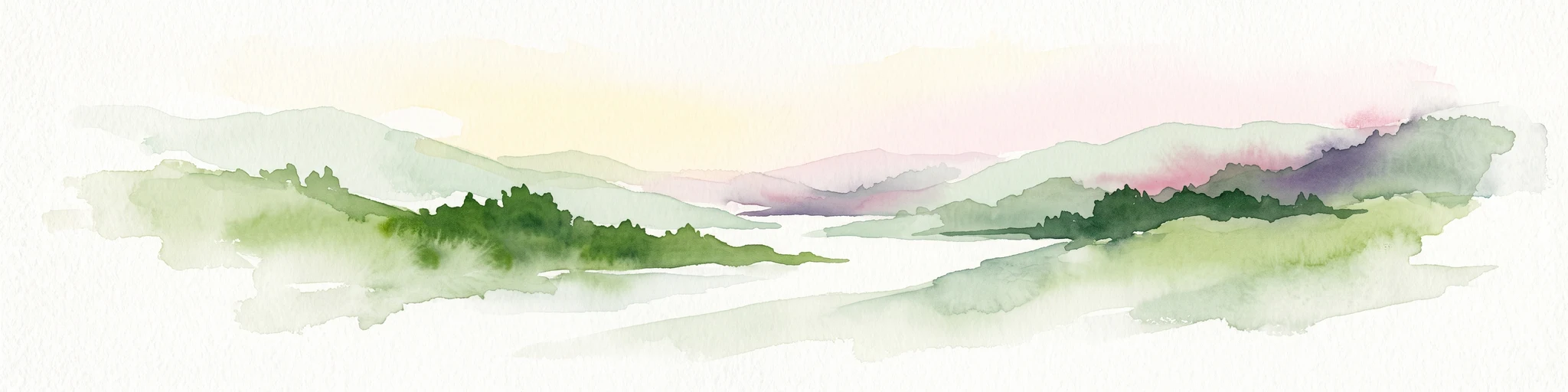
Watercolor illustration depicting a serene landscape with a river winding through savanna and distant purple-toned hills.
National parkKankan Region
About 270 km away#5 closest

Southwest

Parc national du Haut-Niger: Protected Area Map and Geographic Landscape Profile

West African dry forest and savanna conservation zone

Parc national du Haut-Niger represents a significant conservation unit in the Kankan Region of Guinea. This protected area safeguards one of the last major stands of dry tropical forest in the region, offering a rich study in riverine geography and savanna ecology along the upper Niger River and its major tributaries.

Area
554 km²
Established
1997
IUCN
II
Relief
Mixed relief
National parkMali
About 284 km away#6 closest

West

Wongo National Park: Discover Its Protected Landscape and Geographic Atlas Context in Mali

Explore Mali's Wongo National Park mapped boundaries and regional natural landscapes.

Wongo National Park represents a significant protected area within Mali, offering a distinct entry point for exploring national park geography and mapped landscapes. This designation within the West African region provides valuable insight into protected land distribution and the surrounding natural terrain. The park's context within the broader atlas framework allows for detailed investigation of its boundaries and its place within the country's ecological and geographic framework, supporting structured discovery.

Area
534 km²
Established
2002
IUCN
II
Climate
Temperate
National parkMali
About 337 km away#7 closest

Northwest

Bafing National Park: Mali National Park Atlas and Protected Woodland Landscape

Explore the unique chimpanzee habitat and bird conservation within this West African savanna.

Bafing National Park is a cornerstone of conservation in Mali, recognized for its exclusive role in protecting chimpanzee populations within the Manding Plateau region. This extensive national park features a predominant woodland ecosystem interspersed with savanna areas, providing critical habitat for numerous bird species as designated by BirdLife International. Understanding Bafing National Park's mapped geography and protected landscape offers insight into vital primate and avian conservation efforts in West Africa.

Area
5,000 km²
Established
2000
IUCN
II
Relief
Upland
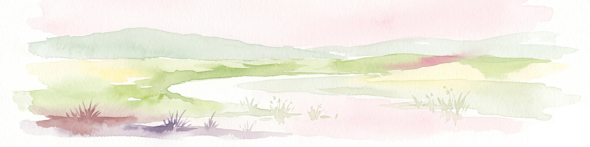
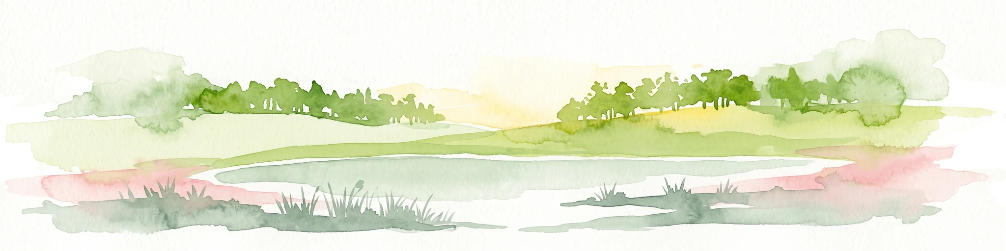
A soft watercolor illustration showing a calm, curved wetland area with gentle green hills in the background and sparse vegetation in the foreground.
Protected areaCascades
About 408 km away#8 closest

East

Lac de Tengréla Protected Area: Mapping Wetland Landscapes in the Cascades Region

Freshwater geography and regional catchment in southwestern Burkina Faso

Located near Banfora, Lac de Tengréla functions as a protected Ramsar wetland within the Comoé River system. This freshwater lake provides essential ecological value, with its elongated basin and outflow connectivity offering a distinct window into the hydrology and natural terrain of southwestern Burkina Faso.

Area
5.8 km²
Established
2009
Scope
Terrestrial
Water
Water-dominated
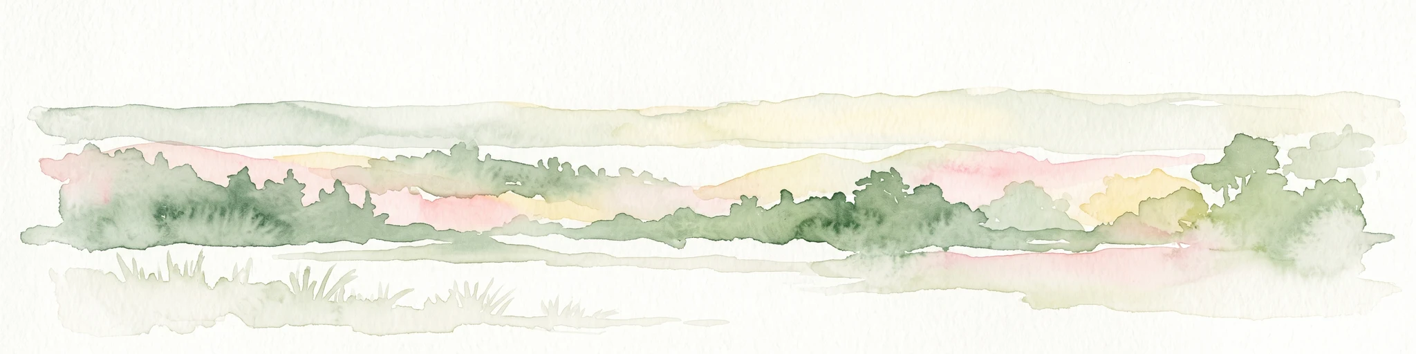
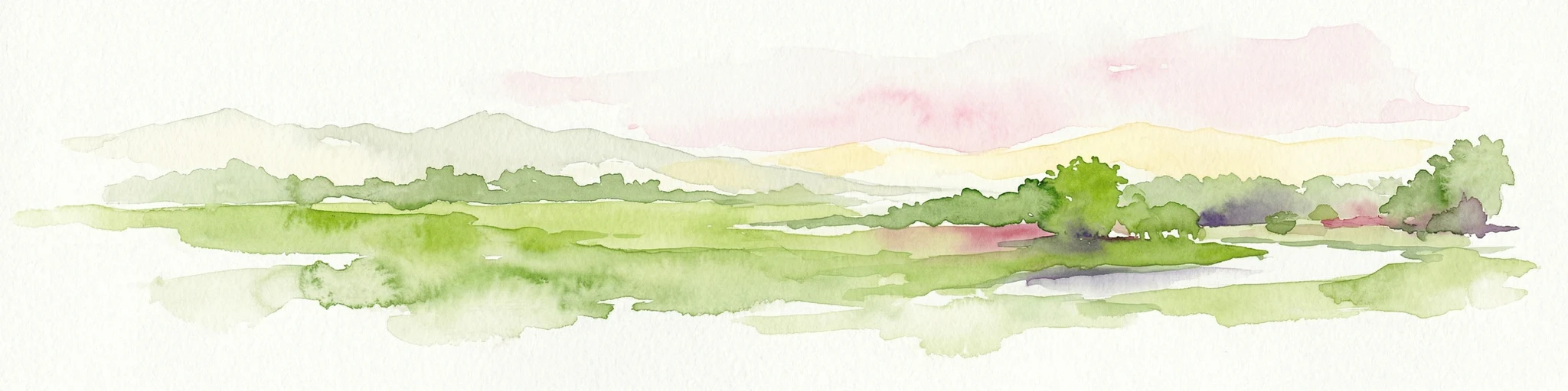
Watercolor painting of a soft, layered landscape featuring green trees and gentle hills against a pale, warm sky.
Nature reserveIvory Coast
About 420 km away#9 closest

Southwest

Forêt classée de Pinselly: Protected Area Geography and Landscape Mapping

Nature reserve analysis and regional atlas context

Examine the formal boundaries and landscape character of Forêt classée de Pinselly. This atlas entry focuses on the geographic structure and environmental positioning of this nature reserve in Ivory Coast, offering a clear view of its role as a protected landscape.

Established
1945
Relief
Mountain
Climate
Tropical
Access
Moderate access
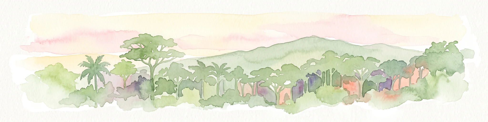
Watercolor painting of a green forested mountain landscape under a soft pastel sky.
Biosphere reserveNzerekore Region
About 427 km away#10 closest

South

Massif de Ziama Biosphere Reserve: Geographic Overview and Protected Forest Boundaries

A montane forest complex in the Nzerekore Region of Guinea.

Massif de Ziama functions as a significant forested mountain chain and protected biosphere reserve in the Nzerekore Region. This geographic profile details the massif's high-elevation terrain, its connectivity with the Kpo Range in Liberia, and its foundational importance as a remnant of the Upper Guinean forest formation.

Established
1980
A wide watercolor illustration showing green hills and trees along a pale river valley with a soft sky.
Protected areaMamou Region
About 429 km away#11 closest

Southwest

Bafing-Source Protected Area: A Highland Wetland Landscape in the Mamou Region

Tracing the headwaters and plateau geography of the Bafing River basin

The Bafing-Source protected area serves as a significant hydrological anchor within the Fouta Djallon highlands of Guinea. This expansive site protects critical wetland catchments and plateau terrain that feed into the broader Senegal River system, demonstrating the vital link between highland ecosystems and downstream water security.

Area
3,172 km²
Established
2007
Relief
Highland
Climate
Tropical
Protected areaBurkina Faso
About 432 km away#12 closest

East

Forêt classée de Kou: Protected Gallery Forest and Riverine Geography in Burkina Faso

A compact biodiversity refuge near Bobo-Dioulasso

Forêt classée de Kou stands as a vital example of Guinean-type forest preservation in Burkina Faso. This protected area features a complex mosaic of dense gallery woodland along the Kou and Guinguette rivers, transitioning into arborescent savanna. With its layered canopy, riverine corridors, and documented avian richness, it serves as a critical geographic marker of humid woodland in the broader Sudano-Sahelian terrain.

Area
1.15 km²
Established
1951
Climate
Tropical
Access
Easy access
National parkSenegal
About 454 km away#13 closest

West

Niokolo-Koba National Park: Exploring Senegal's Protected Landscape Identity

Mapped boundaries and regional geography context.

Niokolo-Koba National Park offers a distinct focus on Senegal's protected landscapes, providing valuable insights for atlas and map-based exploration. This national park serves as a key geographic anchor, highlighting the natural terrain and the extent of its protected boundaries within the country. Users can delve into the specific characteristics of this area to understand its role within Senegal's diverse natural heritage and regional geography.

Area
9,130 km²
Established
1954
IUCN
II
Relief
Upland
National parkIvory Coast
About 460 km away#14 closest

South

Mont Sângbé National Park National Park: Ivory Coast Protected Area Geography and Map Exploration

Explore the mapped natural landscape of Mont Sângbé National Park.

Mont Sângbé National Park is a protected national park offering a unique geographic perspective within Ivory Coast. This entry facilitates exploration of its mapped boundaries and regional landscape context, contributing to a broader understanding of protected areas in West Africa through structured atlas data. Discover the essential geographic elements that define this conservation landscape.

Area
950 km²
Established
1976
IUCN
II
Relief
Mountain
National parkMontagnes
About 460 km away#15 closest

South

Parc national du Mont Sangbé: A Rugged Highland Protected Area in the Montagnes District

Mountain forest landscape and highland topographic discovery.

Parc national du Mont Sangbé defines a major mountainous landscape within Côte d'Ivoire, characterized by an elevation profile that hosts fourteen summits above 1,000 meters. This protected area serves as an essential habitat for forest wildlife and supports a continuous tree canopy that shapes the ecology of the Montagnes region. Its unique highland topography makes it a primary subject for mapping the diverse physical geography and conservation zones of West Africa.

Area
950 km²
Established
1975
IUCN
II
Relief
Mountain
National parkKarene District
About 475 km away#16 closest

Southwest

Outamba-Kilimi National Park: Sierra Leone National Park and Protected Landscape Atlas

Mapped natural terrain within Karene District.

Investigate Outamba-Kilimi National Park as a protected area, examining its geographic footprint and significance within Sierra Leone's natural landscapes. This detailed entry provides context on the park's mapped boundaries and its contribution to regional geography, serving as a key point for atlas-based exploration of conservation lands in the Karene District.

Area
1,109 km²
Established
1986
IUCN
II
Relief
Lowland
Protected areaGuinea
About 489 km away#17 closest

West

Forêt classée de Nialama: Protected Landscape and Fouta Djalon Highland Geography

Exploring the forest mosaic and habitat boundaries in Guinea.

Forêt classée de Nialama represents a complex protected landscape covering 10,000 hectares of the Fouta Djalon highlands. The area features a distinct blend of gallery forest, bamboo stands, and seasonal wetlands. Known for its role in chimpanzee conservation and avian diversity, this site offers a window into the varied Sudano-Guinean terrain and highland forest ecosystems of Guinea.

Area
100 km²
Protected areaNimba County
About 499 km away#18 closest

South

Nimba National Forest: Protected Mountain Landscape & Bird Area in Nimba County

Explore mapped boundaries and regional geographic context.

Nimba National Forest, a protected area of approximately 187 square kilometers, is defined by its mountainous terrain in Nimba County, Liberia. Situated at the tri-border region with Guinea and Ivory Coast, this forest is recognized for its importance as a habitat for diverse bird species and its role in regional conservation efforts. Discover its mapped landscape, its position within the Nimba Range, and its ecological significance within West Africa's protected natural areas.

Area
187 km²
IUCN
VI
Access
Access unknown
Scope
Terrestrial
Watercolor illustration of a landscape with green fields, trees, and a body of water
National parkIvory Coast
About 513 km away#19 closest

Southeast

Comoé National Park: Geographic and Environmental Overview of the Ivory Coast Reserve

Mapping the transitions of West Africa's largest protected savanna ecosystem.

Comoé National Park serves as an ecological crossroads in north-eastern Ivory Coast, protecting 11,500 square kilometers of diverse terrain. The park hosts an extraordinary gradient of habitats, from dense gallery forests hugging the 230 kilometer stretch of the Comoé River to open, dry Sudanian savannas. Its geological foundation, featuring dramatic granite inselbergs and wide plains, supports a highly complex network of life, making it a cornerstone for understanding West African regional conservation and landscape ecology.

Area
11,500 km²
Established
1983
IUCN
II
Relief
Lowland
A soft watercolor illustration showing a calm pond in the foreground, with gentle grassy hills and sparse trees in the background.
National parkIvory Coast
About 513 km away#20 closest

Southeast

Comoé National Park: Geographic Overview and Protected Landscape Analysis

Mapping the savanna and river corridors of Ivory Coast

Comoé National Park spans the northeastern reaches of Ivory Coast, providing a crucial protected space for West Sudanian savanna and gallery forests. This large-scale reserve is characterized by the hydrological influence of the Comoé River, which carves through the undulating plains to create seasonal floodplains and dense riverine corridors that serve as essential habitat for regional wildlife populations.

Area
11,491.5 km²
Established
1968
IUCN
II
Relief
Upland
Distance methodology

Geographic measurements, not driving distances

How nearby park distances are calculated

Distances use park boundaries whenever the available geometry allows it. When one or both boundaries are missing, the mapped park locations provide a clearly labelled estimate. Every value represents straight-line geographic separation and does not use roads or routing.

Boundary distance

Calculated between the nearest points of both park boundaries.

Location-to-boundary estimate

Estimated from one mapped park location to the nearest boundary of the other park.

Mapped-location estimate

Estimated between the mapped locations of both parks.

MoriAtlas Explorer

Map and Examine the Sankarani River Protected Area Landscape

Trace the course of the Sankarani River from its origin in the Fouta Djallon highlands to its transition into the broader Niger Basin. This MoriAtlas destination provides essential geographic context for one of West Africa's most significant Ramsar wetland systems, highlighting its diverse floodplain structures and riparian forest corridors.

Global natural geography