Mori Atlas logo
Nearby park discovery

Regional geography and mapped surroundings in the Huasteca Potosina

Protected Areas and Natural Landscapes near Sierra del Abra-Tanchipa Biosphere Reserve

Explore the geographic distribution of protected areas surrounding the Sierra del Abra-Tanchipa biosphere reserve in eastern Mexico. This regional overview highlights nearby natural landscapes and protected zones across the Huasteca Potosina, providing a mapped perspective on the rugged terrain and environmental characteristics that define this part of the Sierra Madre Oriental.

Related tags

biosphere reserveSierra Madre OrientalHuasteca Potosinatropical forestrugged sierra

A biosphere reserve protecting tropical forest and rugged sierra in the Huasteca Potosina.

Sierra del Abra-Tanchipa

Sierra del Abra-Tanchipa is a Mexican biosphere reserve located in the eastern part of the state of San Luis Potosí, bordering Tamaulipas to the north within the Huasteca Potosina region. The protected area encompasses roughly 21,464 hectares of rugged sierra landscape and tropical forest, spanning the northeastern part of the Ciudad Valles municipality and a smaller northwestern portion of Tamuín. Established as a federal reserve on 6 June 1994, it remains one of the important natural protected areas of northeastern Mexico and is administered by the Comisión Nacional de Áreas Naturales Protegidas (CONANP). The reserve protects a distinctive stretch of karst-like sierra terrain that falls within a broader cultural and ecological region known as the Huasteca, an area characterized by warm lowland climate, dense vegetation cover, and a transitional position between the arid north and the more humid Gulf coast plains. Because the protected polygon was largely uninhabited at the moment of its declaration, it formed a relatively continuous block of natural habitat, with no settlements inside its core zone. This makes the reserve a significant enclave for conserving the regional flora and fauna of the Huasteca Potosina. The defining appeal of Sierra del Abra-Tanchipa lies in its combination of dramatic sierra topography and tropical forest ecosystems, plus its role as one of the few formal biosphere reserves in this part of Mexico. It functions as both a refuge for native species and a reference site for understanding the natural heritage of the Huasteca Potosina.

Location
Mexico
Park type
Biosphere reserve
Established
1994
Area
214.6 km²
Sierra del Abra-Tanchipa Protected Area Atlas
Regional park map

See the ranked park cluster in its geographic setting

Nearby parks around Sierra del Abra-Tanchipa

This regional map shows the same 20 nearby parks ranked below around Sierra del Abra-Tanchipa. Select a ranked marker to highlight that park’s boundary where boundary data is available.
Reference park: Sierra del Abra-TanchipaRanked nearby park20 nearby parks shown
20 nearby parks

Ranked geographic separation and regional environmental comparison signals

Parks and Protected Areas Geographically Near Sierra del Abra-Tanchipa

Geographic distance measurements establish a ranked sequence of protected areas surrounding Sierra del Abra-Tanchipa for comparative analysis. Country context and recorded environmental characteristics reveal broader protected landscape patterns across the surrounding region.
Watercolor illustration showing a river flowing through green forest with pink mountains in the background on a white background
Protected areaTamaulipas
About 124 km away#1 closest

Northeast

Sierra de Tamaulipas Protected Area: Geography, Karst Terrain, and Sky Island Ecosystems

Mapping the natural features of a remote Mexican mountain massif.

The Sierra de Tamaulipas offers a unique study in vertical geography and isolated ecosystems. Rising dramatically above the plains of Tamaulipas, this protected area features a complex mosaic of tropical deciduous forests and pine-oak summits. The range also hosts notable karst features, including the world's deepest water-filled sinkhole, El Zacatón, set within a landscape of immense historical and biological value.

Area
3,339 km²
Established
2016
Relief
Mountain
Climate
Subtropical
National parkSan Luis Potosí
About 150 km away#2 closest

West

El Potosí National Park: Detailed Protected Area Geography and Landscape Context

Explore its mapped boundaries within San Luis Potosí.

Uncover the protected landscape of El Potosí National Park, a designated national park situated in San Luis Potosí, Mexico. This entry offers a detailed perspective on its geographic significance, providing insights into its mapped boundaries and regional natural terrain. Understand how this protected area contributes to the broader atlas of natural landscapes in Mexico, ideal for geographic discovery.

Area
20 km²
Established
1936
IUCN
II
Relief
Mountain
National parkMexico
About 155 km away#3 closest

South

Los Mármoles National Park: Detailed Protected Landscape within Mexico's National Park Atlas

Explore the mapped boundaries and regional geography of this unique protected area.

Understand Los Mármoles National Park as a distinct protected landscape, integral to Mexico's atlas of natural areas. This park offers a unique geographic context, with its mapped boundaries providing a clear reference for its protected status. Delve into the regional landscape and discover the importance of this national park for conservation and geographic study.

IUCN
II
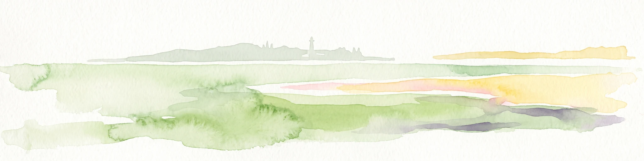
Watercolor painting of a coastal reef landscape with muted green and yellow tones against a white background, showing a distant island or reef structure with a lighthouse or tower silhouette.
Marine protected areaVeracruz
About 215 km away#4 closest

Southeast

Sistema Arrecifal Lobos-Tuxpan: Protected Marine Landscape and Regional Reef Geography

Mapping the northernmost coral reef system of the Mexican Gulf Coast.

The Sistema Arrecifal Lobos-Tuxpan marine protected area spans roughly 30,000 hectares of diverse underwater terrain off the coast of Veracruz. This complex includes the Lobos and Tuxpan polygons, which host extensive reef formations and a rare sandy cay habitat that supports significant nesting activity for marine turtles. The system remains a key focal point for understanding the limits of coral growth in the Gulf of Mexico and the broader ecological structure of the Mexican coastline.

Area
305.71 km²
Established
2009
Relief
Lowland
Climate
Tropical
National parkMexico
About 218 km away#5 closest

West

El Gogorrón National Park: National Park Protected Landscape and Geography

Mapped boundaries and regional atlas context in Mexico

El Gogorrón National Park is a protected natural area designated as a National Park within Mexico. This entry provides essential details for understanding its geographic significance, mapped boundaries, and its role in the country's conservation landscape. Discover the park's contribution to regional geography and its structured representation within the MoriAtlas exploration platform.

Area
250 km²
Established
1936
IUCN
II
Relief
Mountain
National parkHidalgo
About 227 km away#6 closest

South

El Chico National Park: National Park Boundaries and Regional Geography in Hidalgo

Explore the mapped protected landscape and terrain of this national park.

El Chico National Park is a distinct protected area offering insight into Mexico's regional geography and conservation landscapes. This page details its specific geographic footprint, the character of its natural terrain, and its place within Hidalgo's broader protected areas atlas. Users can examine mapped boundaries and understand the park's unique environmental context.

Area
27.39 km²
Established
1982
IUCN
II
Relief
Mountain
National parkMexico
About 239 km away#7 closest

Southwest

Cerro de Las Campanas National Park: Detailed Protected Landscape and Geographic Context

Explore mapped boundaries and regional atlas information for this Mexican national park.

Cerro de Las Campanas National Park is a protected national park in Mexico, offering a specific focus for geographic discovery. Users can investigate its mapped boundaries and understand how this protected area fits into the larger atlas of Mexico's natural landscapes. This page serves as an authoritative entry point for appreciating the park's unique geographic identity and its significance as a protected natural entity within the country's conservation framework.

IUCN
II
National parkQuerétaro
About 241 km away#8 closest

Southwest

El Cimatario National Park: National Park Protected Landscape in Querétaro Region

Explore mapped boundaries and regional geography.

Investigate El Cimatario National Park, a protected national park located in Querétaro, Mexico. This entry offers detailed atlas-style insights into the park's protected landscape, its geographic setting within the region, and its clearly mapped boundaries. It serves as a focused point for understanding this specific natural area's place in broader geographic and conservation mapping.

Area
24.48 km²
Established
1982
IUCN
II
Relief
Mountain
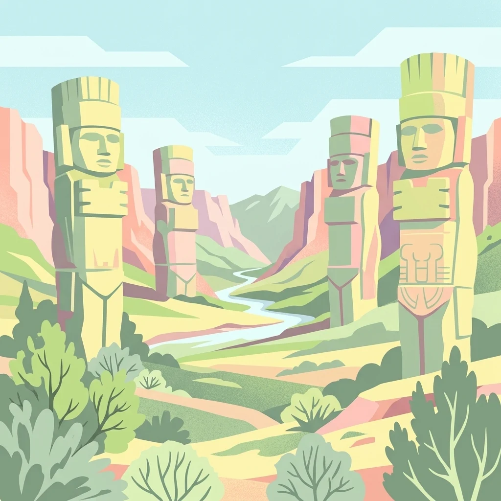
Stylized illustration showing four large stone statues in a valley landscape with a river, hills, and vegetation
Protected areaMexico
About 245 km away#9 closest

South

Tula National Park: Mapped Protected Landscape and Toltec Civilization Atlas

Explore iconic Toltec warrior sculptures and the surrounding geographic terrain.

Tula National Park in Mexico offers a detailed look at the Postclassic Toltec capital, Tollan-Xicocotitlan. As a protected area, its preserved ruins, including the striking Atlantes de Tula warrior columns and the serpent wall, provide crucial insights into Mesoamerican history and architecture. This site's geographic setting in the Tula River Valley, coupled with its architectural parallels to other major sites, makes it a focal point for understanding ancient regional dynamics and landscape utilization.

Area
1 km²
Established
1981
Relief
Upland
Climate
Arid
Protected areaPuebla
About 249 km away#10 closest

South

Zona Protectora Forestal Vedada Cuenca Hidrográfica del Río Necaxa: Mountain Watershed Atlas

Protected Sierra Madre Oriental mountain landscapes and reservoirs

This protected area safeguards the complex upper watershed of the Necaxa River, where dense cloud forests meet engineered reservoirs. Spanning the mountainous border region, the area serves as a key case study in forest conservation, river basin management, and wetland habitat protection within the broader geographic framework of the Sierra Madre Oriental.

Area
421.29 km²
Established
1938
IUCN
VI
Relief
Mountain
Protected areaGuanajuato
About 288 km away#11 closest

Southwest

Sierra de los Agustinos: Volcanic Mountain Geography and Protected Landscape in Guanajuato

Exploratory mapping of the Trans-Mexican Volcanic Belt

Sierra de los Agustinos represents a unique geological and ecological transition zone in central Mexico. This protected area features a complex mosaic of oak forests and volcanic ridges that influence regional hydrology. As a key segment of the northern volcanic belt, it provides a crucial environmental buffer for the Lerma River basin and the surrounding agricultural lowlands.

Area
191.65 km²
Established
2002
Relief
Mountain
Scope
Terrestrial
A soft watercolor painting of layered green and pink hills under a pale yellow sky.
Protected areaGuanajuato
About 297 km away#12 closest

West

Sierra de Lobos Protected Area: Mountain Geography and Watershed Mapping in Guanajuato

An ecological transition zone between the Bajío and the Mexican Plateau

Sierra de Lobos stands as a complex mountain range and sustainable use area in Guanajuato, Mexico. Its unique physiographic location provides a habitat bridge for diverse wildlife and a necessary water source for regional communities. This profile maps its transition from tropical dry forest foothills to pine-oak forests at higher altitudes, highlighting its role as a core protected landscape.

Area
1,270.58 km²
Established
1997
Relief
Mountain
Climate
Subtropical
National parkState of Mexico
About 302 km away#13 closest

South

Molino de Flores Nezahualcóyotl National Park: National Park Protected Landscape Exploration

Mapped geographic context within the State of Mexico.

Access structured details about Molino de Flores Nezahualcóyotl National Park, a significant protected area designated as a national park. This entry focuses on its role as a mapped landscape, providing essential geographic context for understanding its boundaries and natural terrain. Discover how this protected area contributes to the broader atlas of conservation lands in the region.

Area
0.49 km²
Established
1937
IUCN
II
Visitors
10K annual
Watercolor painting depicting a flat wetland landscape with green grasses in the foreground and soft purple and green rolling hills in the background under a pale sky.
Protected landscapeEstado de México
About 304 km away#14 closest

South

Parque Ecológico Lago de Texcoco: Mapped Protected Landscape and Regional Geography

A large-scale wetland and ecological restoration project in the Valley of Mexico.

Parque Ecológico Lago de Texcoco stands as a significant protected landscape, transforming a drained lacustrine basin into a vibrant mosaic of saline vegetation and water regulation zones. As an internationally recognized Ramsar wetland and Important Bird Area, the site offers a deep look into the ecological recovery of the Valley of Mexico. The terrain is defined by its flat basin character, ancient archaeological remnants on elevated hill areas, and a expansive network of restored water systems.

Area
140 km²
Established
2024
Relief
Lowland
Climate
Temperate
National parkMexico
About 304 km away#15 closest

South

El Tepeyac National Park: Protected National Park Landscape and Regional Geography

Explore mapped boundaries and the park's geographic context.

Gain a detailed understanding of El Tepeyac National Park, a protected national park situated within Mexico. This entry provides essential geographic context, focusing on its mapped boundaries and its role as a protected landscape. It is designed to support users interested in the atlas-level exploration of natural areas, offering foundational information about the park's identity and its position within the broader geographic framework of Mexico.

Area
15 km²
Established
1937
IUCN
VI
Relief
Upland
National parkMexico State
About 308 km away#16 closest

South

Los Remedios National Park: Protected Landscape and Historical Geography of Mexico State

Mapped terrain and cultural heritage within this unique national park.

Delve into the protected landscape of Los Remedios National Park, a national park situated in Mexico State. This page provides detailed geographic context, focusing on its volcanic terrain, mapped boundaries, and the convergence of pre-Hispanic and colonial heritage. Understand its role as a protected area within the western Valley of Mexico and explore the mapped elements that define its cultural and natural identity.

Area
4 km²
Established
1938
IUCN
II
Relief
Mountain
A soft watercolor painting showing a rolling landscape of light green hills, gentle slopes, and sparse trees against a pale, distant mountain horizon.
Natural monumentGuanajuato
About 313 km away#17 closest

Southwest

Siete Luminarias Natural Monument: Exploring Maar Volcanic Craters in Guanajuato

A protected volcanic landscape on the Mexican Plateau.

Siete Luminarias encompasses seven well-defined volcanic maars surrounding the town of Valle de Santiago. This natural monument illustrates a rare geological occurrence where ancient underground explosions created broad, flat-floored craters that remain as essential features of the local Bajio terrain and regional geologic identity.

Area
89.28 km²
Established
1997
Relief
Upland
Climate
Subtropical
A soft watercolor painting showing a panoramic view of rolling green hills, a winding waterway, and distant pinkish mountains under a light sky.
Protected areaGuanajuato
About 320 km away#18 closest

Southwest

Lake Yuriria: Exploring the Protected Landscape and Volcanic Terrain of Guanajuato

A historic artificial wetland and Ramsar-recognized migratory bird habitat.

Lake Yuriria serves as a benchmark for landscape conservation in the Bajio region. Spanning an extensive wetland area within a volcanic basin, this protected zone provides essential habitat for over 140 bird species and remains a cornerstone of the regional geography for its water regulation and agricultural impact.

Area
72 km²
Established
1548
Relief
Lowland
Climate
Subtropical
National parkMexico City
About 322 km away#19 closest

South

Cerro de la Estrella National Park: Mapped Protected Landscape and Regional Geography

Explore the national park's mapped boundaries within Mexico City.

Cerro de la Estrella National Park represents a key protected area for geographic study and atlas exploration within the urban landscape of Mexico City. This entry provides detailed insight into the park's mapped boundaries and its role as a national park, highlighting its unique protected landscape character. Understand its position within the regional geography and explore what makes this park an important feature for mapped terrain and conservation awareness.

Area
1.5 km²
Established
1938
IUCN
II
Relief
Mixed relief
National parkMexico City
About 327 km away#20 closest

South

Desierto de los Leones National Park: Protected National Park and its Geographic Setting

Explore mapped boundaries and regional landscape context near Mexico City.

Delve into the specifics of Desierto de los Leones National Park, a designated national park recognized for its protected landscape. This MoriAtlas entry focuses on its geographic presence within the Mexico City region, providing clear insights into its mapped boundaries and the surrounding natural terrain. Understand the park's importance as a conservation area and its contribution to the regional geography through dedicated atlas data.

Area
18.67 km²
Established
1917
IUCN
II
Visitors
205K annual
Distance methodology

Geographic measurements, not driving distances

How nearby park distances are calculated

Distances use park boundaries whenever the available geometry allows it. When one or both boundaries are missing, the mapped park locations provide a clearly labelled estimate. Every value represents straight-line geographic separation and does not use roads or routing.

Boundary distance

Calculated between the nearest points of both park boundaries.

Location-to-boundary estimate

Estimated from one mapped park location to the nearest boundary of the other park.

Mapped-location estimate

Estimated between the mapped locations of both parks.

MoriAtlas Explorer

Examine the Mapped Boundaries and Terrain of Sierra del Abra-Tanchipa

Trace the geographic footprint and protected landscape characteristics of the Sierra del Abra-Tanchipa Biosphere Reserve. MoriAtlas provides detailed context on the sierra ridges and forest zones that define this significant ecological refuge within the San Luis Potosí region.