Mori Atlas logo
Park earthquake history

Review documented seismic events and epicentral data associated with this protected landscape

Historical Earthquake Records and Recorded Seismic Activity Near Sochi National Park

Explore a structured catalogue of historical earthquake events that have occurred in the vicinity of Sochi National Park. This geographic record presents data derived from geological monitoring, mapping documented seismic occurrences by their proximity to the park boundaries in the Greater Caucasus mountains. Users can examine event dates, recorded magnitudes, and depth measurements for each listed entry to better understand the regional seismic profile.

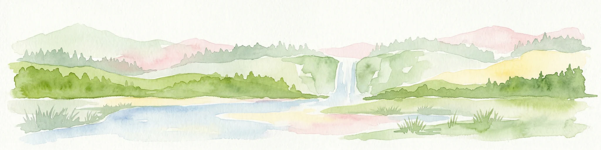
A stylized digital illustration of a waterfall flowing down a rocky canyon between rolling green mountains under a pastel sky.

Russia's pioneering Black Sea Caucasus national park, protecting coastal mountains, subtropical forests, and rare Caucasian wildlife.

Sochi National Park

Sochi National Park is a large protected area along the northeastern Black Sea coast of Russia, spanning the entire administrative territory of Greater Sochi in Krasnodar Krai. Established in 1983, it was one of the very first national parks in Russia and remains one of the country's most visited protected areas. The park stretches from the coast of the Black Sea up to the watershed ridge of the Greater Caucasus Mountains, with most of its interior made up of steep mountain terrain cut by river valleys. Only a narrow foothill fringe lies along the shoreline. Its humid subtropical climate sets it apart from most of Russia, supporting a distinctive mixture of Colchic, broadleaf, and montane ecosystems. The park conserves a remarkable intersection of landscapes and biodiversity: relict Colchic forests, mountain rivers, karst caves, waterfalls, and peaks of the western Caucasus. Wildlife protection is a central purpose of the reserve, including a flagship program for restoring the Caucasian subspecies of the Persian leopard in the wild.

Location
Russia
Park type
National park
Established
1983
Area
2,086 km²
Sochi National Park Atlas

Search Sochi National Park records by magnitude and distance

Explore historical earthquake observations near Sochi National Park

Investigate earthquake history around Sochi National Park (Национальный парк «Сочинский»), a 2,086 km² terrestrial mountain park in Russia with major waters; results preserve epicentral position, timing, magnitude, depth, locality, source, and park distance. Proximity does not establish boundary occurrence or support claims about effects, current hazard, or forecasts across mountains, coast, caves, rivers, and karst.

Sort by
Magnitude
Location

This page describes catalogued earthquakes associated with the park by epicentre location and distance. It does not establish causation, assess current danger, or predict future earthquakes.

No earthquake records match the current filters

Park atlas

Continue after Sochi National Park earthquake records

Discover other protected destinations beyond Sochi National Park

After the Black Sea Caucasus event list, the atlas offers a separate group of protected destinations to continue exploring. These are not presented as geological peers to Sochi’s coastal mountains and subtropical forests, nor as places with equal hazard or source information.
Watercolor artwork depicting a waterfall cascading between forested hills with a lake in the foreground and distant mountains
National parkKrasnodar Krai
Park boundaries overlap#1 closest

Northeast

Sochi National Park: Mapped Geography and Protected Mountain Landscapes

A cornerstone of the Western Caucasus mountain range

Sochi National Park represents a significant protected area within Krasnodar Krai, defined by its steep elevation changes and varied mountain ecosystems. The park preserves crucial river corridors and forest terrain, stretching from the Black Sea coast to the high-altitude meadows of the Greater Caucasus. This atlas overview highlights the natural boundaries and geographic character of one of Russia's most significant conservation landscapes.

Area
1,937.37 km²
Established
1983
IUCN
II
Relief
Mountain
Watercolor painting depicting mountains, a winding river, and green forests in a mountainous landscape
Nature reserveKarachay-Cherkess Republic
About 104 km away#2 closest

East

Teberda Nature Reserve: Protected Area Mapping and Geographic Context

Explore the mapped boundaries and regional geography of this protected landscape.

Teberda Nature Reserve is a significant protected area located in the Karachay-Cherkess Republic, offering rich opportunities for geographic exploration. This page provides detailed atlas-style information, focusing on the reserve's mapped landscape and its protected-area identity. Understand the unique geographic context and contours of Teberda Nature Reserve, contributing to a structured understanding of Russia's natural protected lands.

Area
849.96 km²
Established
1936
IUCN
Ia
Visitors
200K annual
Watercolor landscape with mountains, river, forests, and wetlands
National parkGeorgia
157 km away#3 closest

Southeast

Kolkheti National Park: Mapped Wetland Landscape & Protected Area in Georgia

Explore the peat bogs, coastal ecosystems, and bird migration routes.

Discover Kolkheti National Park, a key protected national park located in Georgia's western coastal region. This atlas entry focuses on the park's extensive wetland environments, including its significant peat bogs and Lake Paliastomi, highlighting its role as a critical migratory bird corridor and a unique natural landscape within the Black Sea region. Understand its geographic context and protected area boundaries.

Area
807.99 km²
Established
1998
IUCN
II
Visitors
13.7K annual
Watercolor painting of mountains, lake, and forest landscape with greenery and distant peaks
National parkKabardino-Balkaria
158 km away#4 closest

East

Prielbrusye National Park: Mapped Protected Landscape within Kabardino-Balkaria's Geography

Explore regional park boundaries and natural terrain context.

Prielbrusye National Park is a significant protected area featured in the MoriAtlas geographic discovery platform. This page details its identity as a national park, emphasizing its mapped boundaries and its position within the broader landscape of Kabardino-Balkaria. Users can explore the park's unique geographic context, understand its protected status, and integrate its information into a larger atlas-based understanding of regional natural territories.

Area
10,102 km²
Established
1986
IUCN
II
Relief
Mountain
A soft watercolor painting depicting a gentle mountain landscape with green forests, grassy plains, and a winding path or stream against a light background.
National parkStavropol Krai
About 186 km away#5 closest

East

Kislovodsk National Park and the Mountain Landscapes of Stavropol Krai, Russia

Protected mountain terrain and urban resort geography

Tracing the vertical gradient of Kislovodsk National Park, this entry covers the park's transition from cultivated rose valleys to forested mountain ridges. Featuring sandstone formations and extensive walking trail networks, the geography showcases the intersection of Caucasus foothill ecosystems and managed resort heritage within the Stavropol Krai region.

Area
9.658 km²
Established
2016
IUCN
II
Visitors
5.1M annual
Watercolor painting of a mountainous landscape with rocky outcrops, forests, and distant hills
National parkRussia
About 186 km away#6 closest

East

Kislovodsk National Park: Geographic and Protected Area Atlas of the Caucasus Foothills

Mapped mountain terrain and urban forest boundaries in Russia.

Trace the extensive boundaries of Kislovodsk National Park, located within the North Caucasus foothills of Russia. This overview details the park's unique structure, shifting from city-adjacent gardens to the rugged elevation of the Dzhinal Ridge, providing a clear geographic context for one of Europe's most distinctive urban protected landscapes.

Area
10 km²
Established
2016
IUCN
II
Relief
Upland
Watercolor illustration of a landscape with green hills, trees, and a body of water
National parkAdjara
233 km away#7 closest

Southeast

Mtirala National Park: Protected Colchic Rainforest Landscape & Geographic Atlas

Explore Adjara's unique terrain and mapped protected boundaries.

Mtirala National Park, located in Georgia's Adjara region, is a protected national park renowned for its exceptionally high rainfall and ancient Colchic relict forests. This atlas-focused profile details the park's unique topography, its watershed between the Chakvistskali and Khoristskali rivers, and its significance as a vital ecosystem. Understand the geographic context of this protected landscape and its role in the broader Caucasus geography.

Area
281.26 km²
Established
2006
IUCN
II
Relief
Mixed relief
Watercolor illustration of a landscape with rolling hills, forests, and a winding river.
National parkAdjara
About 246 km away#8 closest

Southeast

Kintrishi National Park: Protected Colchic Forest Canyon Landscape in Adjara

Explore the mapped geographic boundaries of this unique Georgian national park.

Kintrishi National Park, located in Georgia's Adjara region, is a protected landscape renowned for its exceptionally intact Colchic deciduous forests within a steep river gorge. This area showcases dense woodland, dramatic terrain, and the unique Colchican willow species, offering rich geographic context. As a key protected area, Kintrishi National Park provides a valuable focus for atlas-based exploration of southwestern Georgia's natural heritage.

Area
186.84 km²
Established
2007
IUCN
II
Scope
Terrestrial
MoriAtlas Explorer

Continue Exploring the Geography and Boundaries of Sochi National Park

Examine the detailed landscape composition and regional setting of this vast protected territory within Krasnodar Krai. MoriAtlas provides a clear map-centric view of the canyons, ridges, and river valleys that define the unique topography of Sochi National Park.

Global natural geography