Mori Atlas logo
Park earthquake history

A comprehensive catalogue of historical seismic events associated by location with the park.

Recorded Seismic Activity and Earthquake History Near Tuktut Nogait National Park, Canada

Review the chronological catalogue of historical earthquake events recorded near the boundaries of Tuktut Nogait National Park. This resource provides technical details including event dates, magnitude readings, focal depths, and epicentre proximity for each logged incident sourced from geological databases. The records clarify the historical seismic context of this Arctic wilderness without forecasting future activity or assessing regional hazard levels.

Related tags

Arctic wildernessCaribou calving groundsNorthern Canada national parksTundra ecosystemsProtected caribou habitat

Arctic sanctuary protecting the calving grounds of the Bluenose-West caribou herd

Tuktut Nogait National Park

Tuktut Nogait National Park is a vast wilderness protected area located in the northeastern corner of mainland Northwest Territories, Canada, approximately 170 kilometres north of the Arctic Circle. Established in 1998, the park encompasses over 18,000 square kilometres of tundra, river valleys, and Arctic landscape. The name derives from Inuvialuktun and translates to young caribou, reflecting the park's significance as the primary calving grounds for the Bluenose-West barren-ground caribou herd. This remote and sparsely visited park represents one of Canada's most significant Arctic wilderness areas, offering a window into one of the continent's last great caribou migrations and a landscape that has supported human habitation for over a millennium.

Location
Canada
Park type
National park
Established
1998
Area
18,100 km²
Tuktut Nogait National Park Protected Area

Compare reported epicentres across its vast tundra, canyons, rivers, lakes and coast

Examine earthquake records around Tuktut Nogait National Park

Review earthquake observations around Tuktut Nogait National Park, an 18,100 km² terrestrial protected area with major water across tundra, canyon, cliffs, rivers, lakes and coast; search date, magnitude, depth, locality and park distance with source access. Relief is not inferred, and proximity does not confirm boundary occurrence, tundra or canyon effects, present hazard or future activity.

Sort by
Magnitude
Location

This page describes catalogued earthquakes associated with the park by epicentre location and distance. It does not establish causation, assess current danger, or predict future earthquakes.

No earthquake records match the current filters

Park atlas

Go from Tuktut Nogait National Park earthquake history onward

Continue to other parks beyond Tuktut Nogait National Park

The recommendations that follow move beyond this Arctic caribou calving sanctuary to distinct protected landscapes. They do not suggest similar tundra ecology, park status, geology, seismic exposure, proximity, or evidence coverage.
National parkNorthwest Territories
370 km away#1 closest

North

Aulavik National Park: Northwest Territories National Park Protected Landscape and Geographic Context

Explore the mapped boundaries and regional park geography.

Gain a clear understanding of Aulavik National Park's protected status and its placement within the Northwest Territories. This detail page offers focused atlas exploration of the park's geographic identity, mapped features, and its significance as a National Park within Canada's northern geography. Discover the unique landscape context of this protected area for in-depth geographic study and discovery.

Area
12,200 km²
Established
1992
IUCN
II
Visitors
34 annual
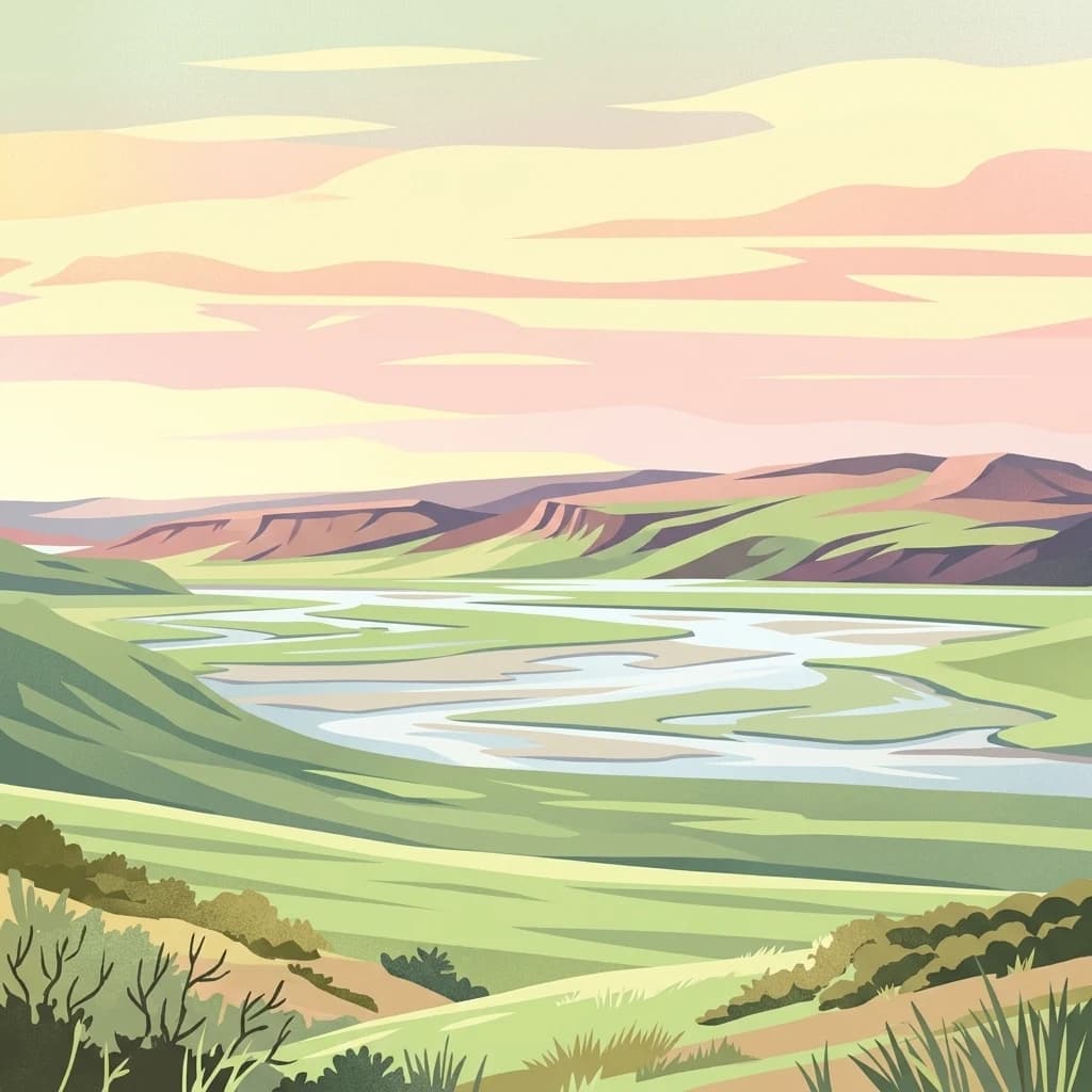
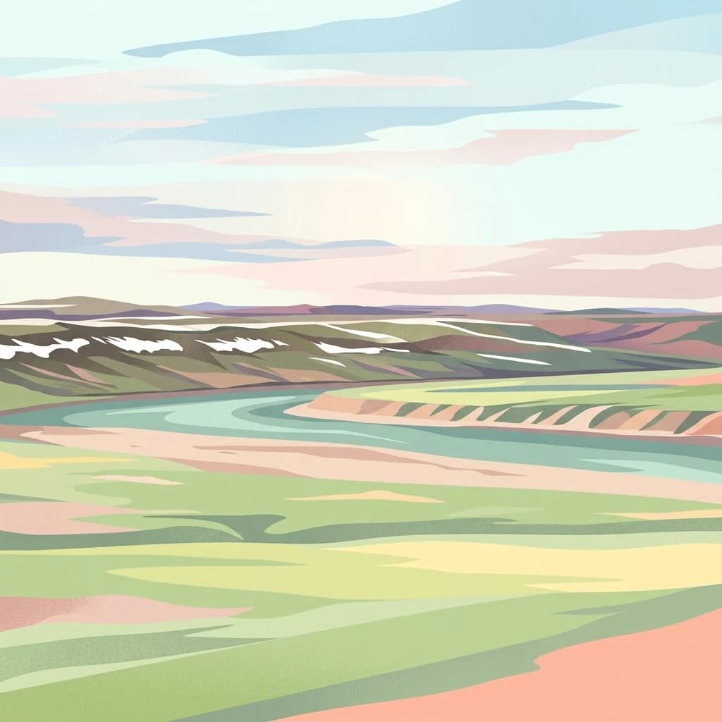
A stylized digital illustration of a wide, winding river flowing through a green tundra valley toward distant hills under a pastel sunset sky.
Wildlife reserveNorthwest Territories
443 km away#2 closest

North

Zugvogelschutzgebiet Banks Island No. 2: Protected Tundra and River Valley Geography

High Arctic wildlife reserve in the Northwest Territories

This wildlife reserve protects the Thomsen River valley and coastal estuary, serving as a primary moulting ground for Arctic waterfowl. Its geography defines a unique convergence of riverine and upland tundra habitats within the broader protected landscape of the Canadian Northwest Territories.

Area
170 km²
Established
1961
IUCN
Ia
Relief
Lowland
A stylized illustration showing a winding river valley, evergreen trees, and distant mountains under a soft light.
National parkYukon
591 km away#3 closest

West

Ivvavik National Park: Yukon National Park Protected Landscape and Geography

Explore mapped boundaries and regional context.

Ivvavik National Park is a designated national park within Yukon, representing a significant protected landscape. This page offers a focused exploration of its geographic identity, mapped boundaries, and its place within the broader atlas of Canada's natural areas. Understand Ivvavik National Park as a defined entity contributing to the regional geography and protected land distribution of Yukon.

Area
10,168 km²
Established
1984
IUCN
II
Visitors
179 annual
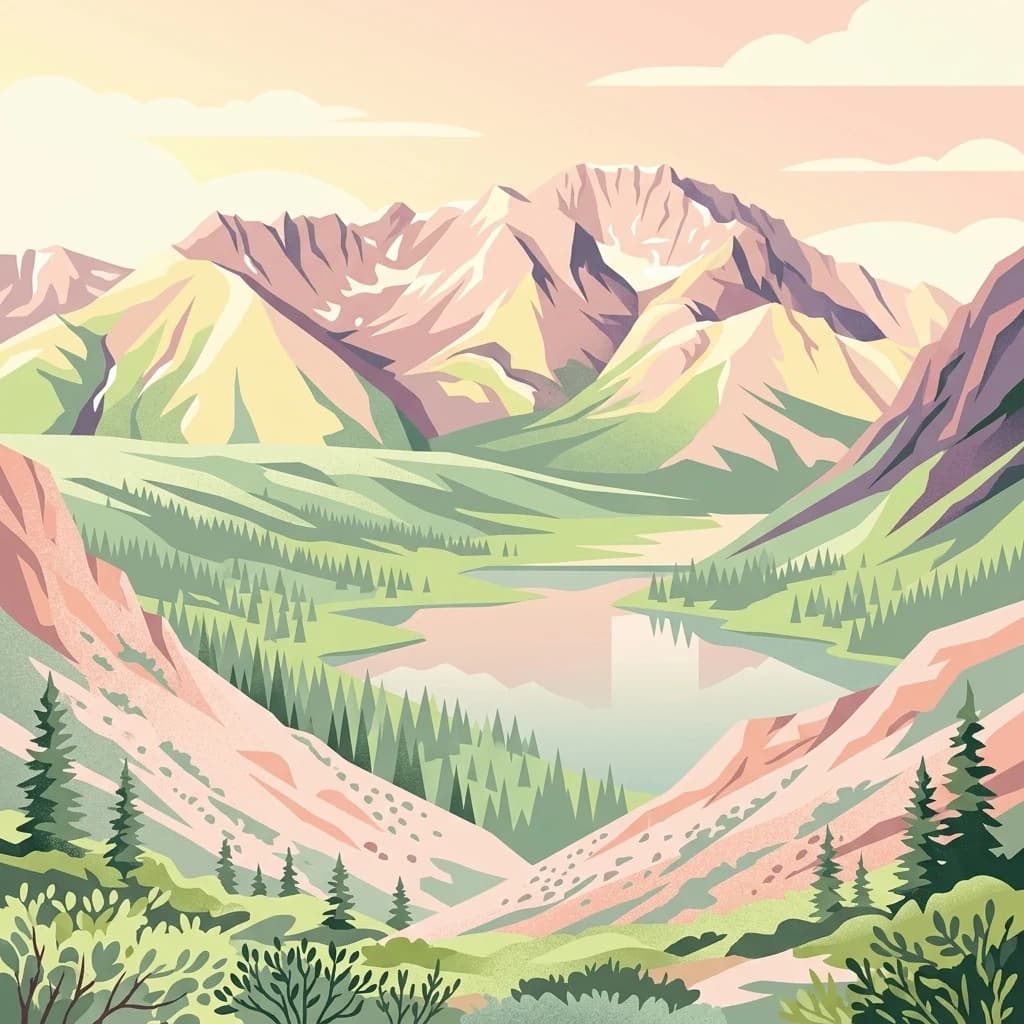
A stylized digital illustration showing rugged, pink-hued mountains rising above a coniferous forest and a calm alpine lake under a soft sky.
National parkNorthwest Territories
608 km away#4 closest

Southwest

Nááts'ihch'oh National Park Reserve: Mapped Protected Landscape in Northwest Territories

Explore its geographic boundaries and regional context.

Gain a structured understanding of Nááts'ihch'oh National Park Reserve, a significant protected national park within the Northwest Territories. This detail provides context for its geographical placement and the extent of its protected landscape, vital for anyone exploring the region's natural areas through maps and atlas data.

Area
4,850 km²
Established
2014
IUCN
II
Visitors
109 annual
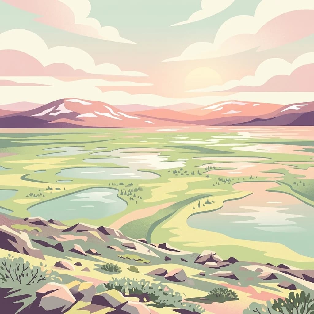
An illustration of the Old Crow Flats landscape with numerous small ponds in the foreground and distant, low snow-capped mountains under a sunset sky.
National parkYukon
610 km away#5 closest

West

Vuntut National Park: Yukon National Park Protected Area Map Exploration

Understanding its mapped protected boundaries and regional geography.

Delve into the specifics of Vuntut National Park, a designated national park situated within the Yukon region. This detail offers a focused look at its protected landscape identity, providing critical context for its geographic boundaries and role as a mapped natural area. Users can explore the core attributes of Vuntut National Park to enrich their understanding of its contribution to the protected lands atlas and regional geography.

Area
4,345 km²
Established
1995
IUCN
II
Relief
Lowland
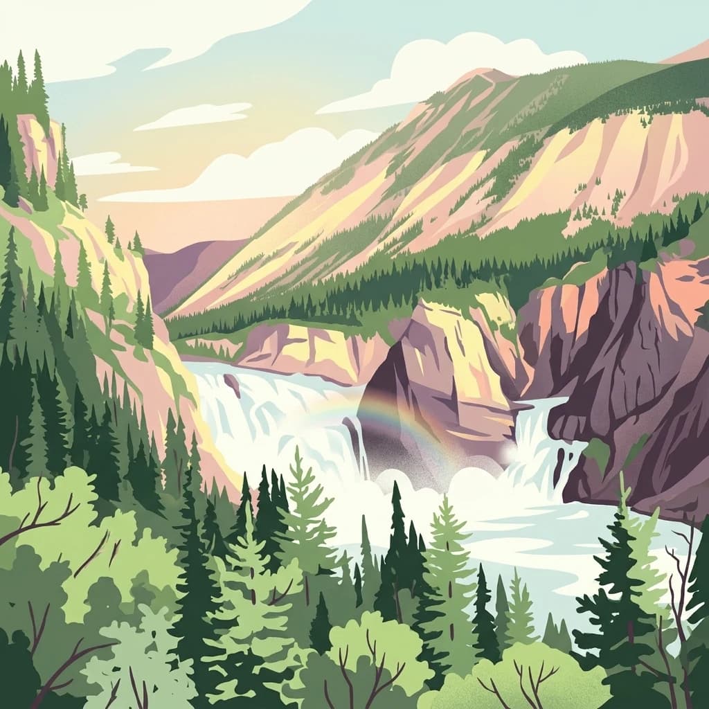
A stylized illustration showing a large waterfall flowing through a canyon with a rainbow visible in the mist, surrounded by evergreen forests and mountains.
National parkNorthwest Territories
635 km away#6 closest

South

Nahanni National Park Reserve

Explore the mapped terrain and protected area boundaries in Northwest Territories.

Nahanni National Park Reserve, in Northwest Territories, Canada. Landscapes: mountains, valleys, and cliffs.

Area
30,050 km²
Established
1972
IUCN
II
Visitors
1.1K annual
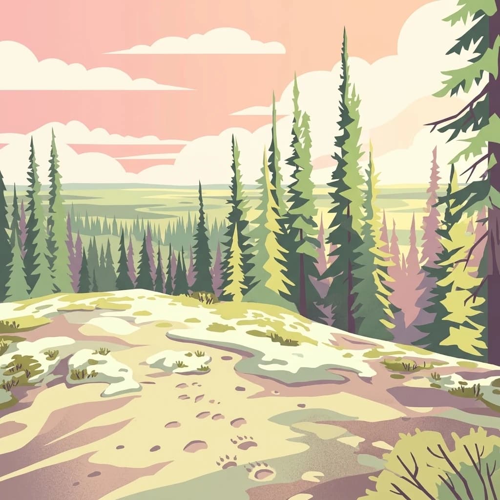
A stylized digital illustration of a northern forest landscape, showing evergreen trees on a rocky hill with animal tracks visible in the foreground under a pastel sunset.
National parkNorthwest Territories
About 762 km away#7 closest

Southeast

Thaidene Nëné National Park Reserve: Northwest Territories National Park Atlas Overview

Mapped geography and protected landscape context.

Investigate Thaidene Nëné National Park Reserve, a key national park within the Northwest Territories. This detailed entry focuses on its protected area status, mapped geographic boundaries, and regional landscape context, crucial for understanding its role in the broader atlas of conservation lands.

Area
14,070 km²
Established
2019
IUCN
II
Relief
Highland
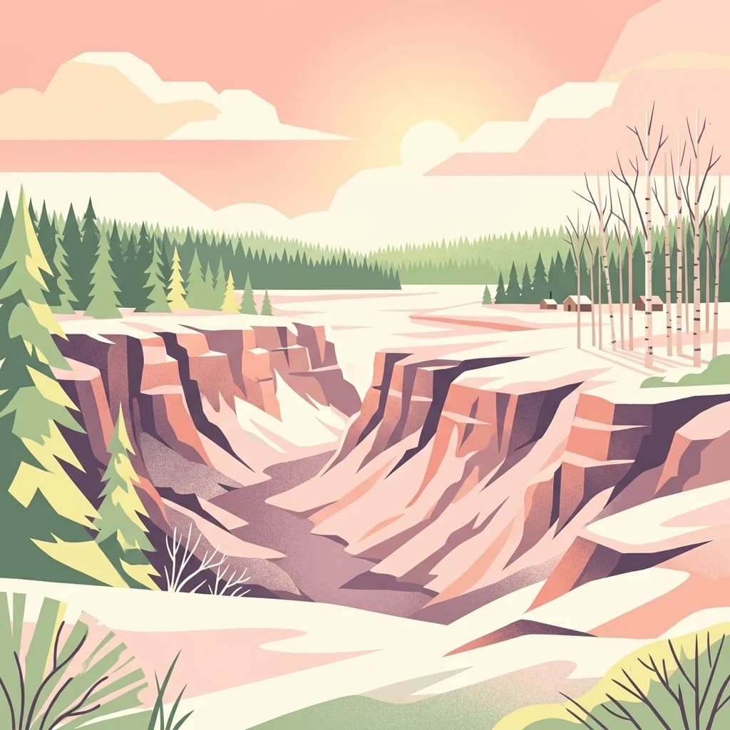
A flat-style digital illustration depicting a canyon with rugged red-brown rock faces partially covered in snow under a soft sunset sky with coniferous and deciduous trees.
National parkNorthwest Territories
830 km away#8 closest

Southeast

Wood Buffalo National Park: Mapped Protected Landscape and Geographic Context

Explore Canada's Wood Buffalo National Park mapped boundaries.

Wood Buffalo National Park serves as a critical protected area, offering a detailed view of its mapped boundaries and regional geographic setting within Northwest Territories. As a national park, it represents a significant natural landscape to explore. This entry provides structured information ideal for understanding the park's specific location and its role in the broader atlas of protected lands.

Area
44,741 km²
Established
1922
IUCN
II
Visitors
2.4K annual
MoriAtlas Explorer

Continue Exploring Tuktut Nogait National Park's Geographic and Protected Landscape Identity

Understanding Tuktut Nogait National Park goes beyond its designation as a national park; it involves appreciating its unique geographic placement and the extent of its protected landscape. By examining its mapped boundaries and regional context, you gain valuable insight into its role within the natural terrain of the Northwest Territories. Further exploration of this park entity supports a structured approach to atlas-based discovery of protected areas and their surrounding geographic significance.