Mori Atlas logo
National parkTuzly Lagoons National Nature Park

Discover the mapped protected landscape and regional geography of this Ukrainian national park.

Tuzly Lagoons National Nature Park: Ukraine's National Park in Bilhorod-Dnistrovskyi Raion

(National Nature Park "Tuzlovs'ki Lymany")

MoriAtlas presents Tuzly Lagoons National Nature Park, a designated national park situated within Ukraine's Bilhorod-Dnistrovskyi Raion. This page serves as an atlas-driven exploration of its protected landscape, focusing on its geographic setting and mapped boundaries. Understand how this park contributes to the regional geography of Bessarabia and southern Ukraine, offering a detailed view for those seeking to navigate and comprehend protected natural areas through geographic context.

Coastal wetlandsLagoon ecosystemBirdwatchingMigratory birdsBlack Sea coastHalophyte vegetation

Tuzly Lagoons National Nature Park

National park

Park overview

Structured park overview, official facts, and landscape profile for Tuzly Lagoons National Nature Park

Tuzly Lagoons National Nature Park park facts, protected area profile, and essential visitor context
Review the core facts for Tuzly Lagoons National Nature Park, including designation, size, terrain, visitor scale, habitats, and operating context in one park-focused overview.

About Tuzly Lagoons National Nature Park

Tuzly Lagoons National Nature Park protects a distinctive coastal lagoon system along Ukraine's Black Sea shoreline in the far southwestern corner of Odesa Oblast. The park was created to preserve the ecological integrity of the Tuzly Lagoons complex, a series of interconnected brackish water bodies separated from the open sea by narrow sandbars and barrier beaches. The lagoons vary in salinity depending on their connection to the Black Sea and freshwater inflow from surrounding lands, creating a mosaic of habitat conditions that support diverse plant and animal communities. The protected area encompasses not only the water bodies and their immediate shores but also adjacent terrestrial zones that contribute to the overall ecological character of the coastal landscape. This combination of aquatic and terrestrial habitats makes the park valuable for both breeding and migratory species, particularly birds that depend on productive wetland feeding grounds during their seasonal journeys between European breeding areas and African wintering grounds.

Quick facts and research context for Tuzly Lagoons National Nature Park

The park protects a chain of coastal lagoons along the Black Sea in Odesa Oblast, southern Ukraine, near the town of Tatarbunary. Established in 2010, it covers 278.65 square kilometers of wetlands, lagoons, and adjacent coastal areas. The lagoons are characterized by brackish water, salt-tolerant vegetation, and exceptional importance for migratory birds traveling between Europe and Africa. The area is categorized as IUCN protected area management category II (national park).

Park context

Deeper park guide and search-rich context for Tuzly Lagoons National Nature Park

Tuzly Lagoons National Nature Park history, landscape, wildlife, and travel context
Explore Tuzly Lagoons National Nature Park through its history, landscape character, ecosystems, wildlife, conservation priorities, cultural context, and seasonal travel timing in a structured park guide built for atlas discovery and search intent.

Why Tuzly Lagoons National Nature Park stands out

Tuzly Lagoons is best known as a premier birdwatching and ornithological destination in Ukraine. The lagoons host significant populations of wading birds including avocets, black-winged stilts, stone-curlews, and both collared and Black-winged pratincoles. The wetlands serve as crucial staging and breeding grounds for migratory waterfowl traveling along the Black Sea flyway. The coastal lagoons also contain rare beds of small seagrass (Zostera noltii), a specialized marine plant adapted to the brackish conditions. The park represents one of the few remaining intact coastal wetland complexes in this region of the Black Sea coast.

Tuzly Lagoons National Nature Park history and protected-area timeline

The park was established on January 1, 2010 through a decree issued by President Viktor Yushchenko, formalizing protection for the Tuzly Lagoons coastal wetland system. The designation came during a period of expanding Ukraine's network of protected areas and represented recognition of the lagoons' ecological significance at the national level. Prior to formal protection, the lagoons had been subject to various environmental pressures including drainage attempts, agricultural development, and coastal development proposals that threatened the integrity of the wetland complex. The establishment as a national nature park provided a framework for coordinated conservation management of the lagoon system and surrounding landscapes. The park continues to operate under Ukrainian environmental protection legislation, with management responsibilities focused on preserving the ecological character of the lagoon system while allowing for sustainable use of certain areas where compatible with conservation objectives.

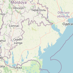
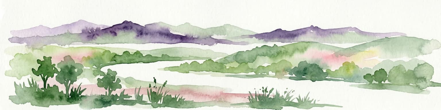
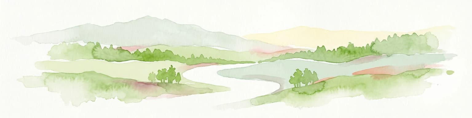
Tuzly Lagoons National Nature Park landscape and geographic character

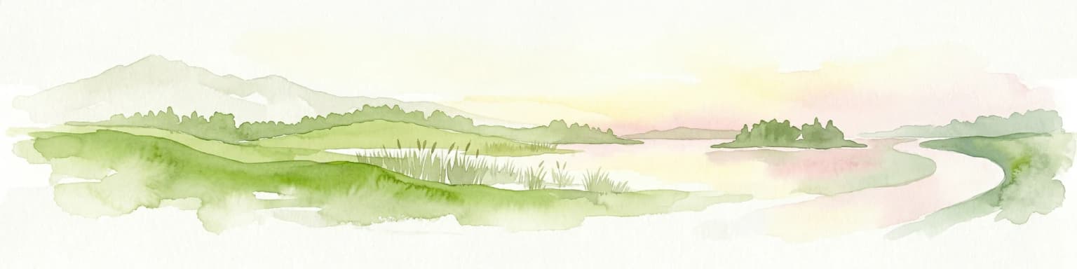
The park encompasses a series of coastal lagoons and adjacent coastal terrain along the Black Sea in southern Ukraine. The lagoons are shallow, brackish water bodies separated from the open sea by narrow barrier islands and sandspits, creating a characteristic barrier beach-lagoon landscape. The larger lagoon systems include Shahany, Alibey, and Burnas, while numerous smaller lagoon bodies such as Solone Ozero, Khadzhyder, Karachaus, Budury, Martaza, Mahala, Malyi Sasyk, and Dzhantshey complete the complex. The surrounding terrain consists primarily of flat to gently rolling coastal steppe, with extensive areas of salt-affected soils supporting specialized halophytic vegetation. The Black Sea coast within the park features sandy beaches and coastal dunes along the barrier formations that separate the lagoons from the open water. The overall landscape is one of low elevation and horizontal horizons, characteristic of the Black Sea coastal plain in this region.

Tuzly Lagoons National Nature Park ecosystems, habitats, and plant life

The Tuzly Lagoons ecosystem represents a remarkable example of coastal wetland habitats along the Black Sea. The lagoons support distinctive salt-tolerant plant communities adapted to the variable salinity conditions created by the mix of seawater inflow and freshwater drainage. The most notable botanical feature is the presence of rare small seagrass (Zostera noltii) beds along the Black Sea coast, a specialized marine angiosperm that thrives in the shallow, moderately saline waters. The wetland margins and adjacent terrestrial areas support characteristic halophyte vegetation including various salt-tolerant grasses and herbaceous plants. The estuarine conditions created where freshwater streams enter the lagoon system produce particularly productive zones that support high biological diversity. The combination of shallow water, abundant food resources, and protected nesting areas makes the lagoon complex exceptionally valuable for waterbirds and wading species.

Tuzly Lagoons National Nature Park wildlife and species highlights

The Tuzly Lagoons are internationally significant for their bird populations, particularly wading birds and waterfowl that use the wetlands during migration. The avifauna includes several species characteristic of coastal wetlands: the distinctive avocet with its recurved bill, the elegant black-winged stilt with its extraordinarily long legs, the ground-nesting stone-curlew of open shoreline habitats, and both collared and Black-winged pratincoles that hunt insects over the water surface and adjacent fields. The lagoons serve as critical staging areas for migratory waterfowl moving between northern European breeding grounds and Mediterranean and African wintering areas. Mammal species present include the lesser blind mole-rat, a specialized burrowing rodent adapted to grassland habitats, and the stoat, a small predatory mammal that hunts in the wetland margins. More recently, the park has been affected by the impacts of the Russian invasion of Ukraine, with dead Black Sea bottlenose dolphins washing ashore along the coastline between 2022 and 2023.

Tuzly Lagoons National Nature Park conservation status and protection priorities

The designation of Tuzly Lagoons as a National Nature Park reflects the area's recognized conservation importance at the national level. The park is managed under IUCN Category II protections, indicating its status as a national park with the primary objective of protecting ecological processes and natural biodiversity. The lagoon system qualifies as an important bird area due to its role in supporting significant populations of migratory and breeding waterbirds. The presence of rare small seagrass beds adds a botanical conservation dimension, as this species is considered vulnerable in the Black Sea region. The protected area also contributes to broader conservation objectives for the Black Sea coastal zone, representing one of the relatively intact wetland complexes remaining in this heavily developed region. Ongoing conservation challenges include maintaining water quality in the lagoon system, managing human disturbance at sensitive nesting areas, and addressing the impacts of broader regional environmental changes.

Tuzly Lagoons National Nature Park cultural meaning and human context

The Tuzly Lagoons are located in the historically multi-ethnic coastal region of southwestern Ukraine, near the town of Tatarbunary. The area has been part of various historical polities and has experienced diverse cultural influences given its position along the Black Sea coast. The lagoon system has traditionally supported local fishing communities that harvest fish and other aquatic resources from the brackish water bodies. The landscape also reflects the agricultural character of the surrounding Odesa Oblast steppe, with farmland extending to the boundaries of the protected area in places. The wetlands have long been recognized by local communities as important natural resources, both for their ecological functions and their economic value. The establishment of the park formalized protection for an area that had been valued by local populations for generations.

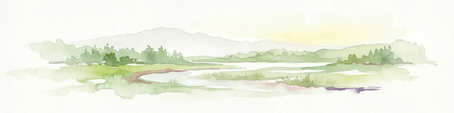
Top sights and standout views in Tuzly Lagoons National Nature Park

The Tuzly Lagoons provide exceptional opportunities for observing coastal wetland biodiversity in Ukraine. The shallow lagoons and their margins support impressive concentrations of wading birds during migration seasons, making spring and autumn particularly rewarding times for birdwatching visits. The barrier beaches and lagoon shores offer scenic landscapes of the Black Sea coast, with expansive views across the water bodies and opportunities to observe the interface between marine and freshwater environments. The salt-tolerant vegetation creates a distinctive visual character quite different from the more common freshwater wetlands found elsewhere in Ukraine. The park also serves as an important scientific reference area for studying coastal lagoon ecology and the dynamics of brackish water ecosystems. The combination of protected lagoon habitats, coastal dunes, and adjacent steppe creates a diverse natural environment within a relatively compact protected area.

Best time to visit Tuzly Lagoons National Nature Park

The optimal times to visit Tuzly Lagoons National Nature Park are during the spring and autumn migration periods when waterbird concentrations reach their peak. Spring migration typically brings large numbers of wading birds and waterfowl moving northward to breeding grounds, while autumn sees the reverse movement as birds head south to wintering areas. The summer months offer opportunities to observe breeding species and enjoy the full extent of the wetland vegetation, though conditions can be quite hot in this coastal region. Winter visits are possible but the lagoons may be partially frozen and wildlife viewing opportunities more limited. The park can be visited year-round, though spring and autumn provide the most diverse and rewarding wildlife observation experiences.

Park location guide

Geography guide, regional context, and park location map for Tuzly Lagoons National Nature Park

Tuzly Lagoons National Nature Park park geography, regions, and map view in Ukraine
Understand where Tuzly Lagoons National Nature Park sits in Ukraine through a broader geographic reading of the surrounding landscape, nearby location context, and its mapped position within the national park landscape.

How Tuzly Lagoons National Nature Park fits into Ukraine

Ukraine is a sovereign nation in Eastern Europe, bordered by Russia, Belarus, Poland, Slovakia, Hungary, Romania, Moldova, and the Black Sea. It is the second-largest country in Europe by area. Kyiv is the capital and largest city, followed by Kharkiv, Odesa, and Dnipro. The official language is Ukrainian. Ukraine has a population of approximately 32.9 million and operates as a unitary semi-presidential republic.

Wider geography shaping Tuzly Lagoons National Nature Park in Ukraine

Ukraine occupies 603,628 km² in Eastern Europe, making it the second-largest country in Europe. It shares borders with Russia, Belarus, Poland, Slovakia, Hungary, Romania, and Moldova. The country has a southern coastline along the Black Sea and Sea of Azov. The terrain includes plains, steppes, and the Carpathian Mountains in the west.

Map view of Tuzly Lagoons National Nature Park

Use this park location map to pinpoint Tuzly Lagoons National Nature Park in Ukraine, understand its exact geographic position, and read its mapped placement within the surrounding landscape more clearly.

Pigeon | © OpenStreetMap contributors

Location context for Tuzly Lagoons National Nature Park

Bilhorod-Dnistrovskyi RaionOdesa Oblast
Park atlas

Trace the wider protected landscapes of Ukraine's Black Sea coast and compare similar lagoon ecosystems.

Discover Other Coastal Wetlands and Protected Areas Near Tuzly Lagoons National Nature Park
Explore additional national parks and protected areas within Ukraine's coastal regions, offering a broader geographic understanding of Black Sea ecosystems and conservation efforts. Compare diverse protected landscapes, including other significant lagoon systems, coastal wetlands, and adjacent steppe terrains, to contextualize the unique ecology of Tuzly Lagoons National Nature Park.
Watercolor illustration of a landscape with hills, a river, and green vegetation
National parkOdesa Oblast

Lower Dniester National Nature Park: National Park Map and Protected Landscape Atlas

Explore Odesa Oblast's protected natural geography and park boundaries.

The Lower Dniester National Nature Park is a vital component of Ukraine's protected lands, situated within the expansive Odesa Oblast. This page offers detailed geographic context, focusing on the park's mapped boundaries and its contribution to the regional landscape. Dive into an atlas-style exploration that highlights the park's protected terrain and its significance within the natural geography of southwestern Ukraine, offering structured discovery beyond basic park facts.

Area
213 km²
Established
2008
IUCN
II
Relief
Lowland
Protected area

Danube Delta Protected Area: Mapping Europe's Largest River Delta Geography and Wetland Landscape

Explore the mapped protected area, its unique terrain, and regional landscape context.

The Danube Delta, a protected area in Romania, presents a remarkable geography defined by its extensive wetland terrain, intricate waterways, and significant biodiversity. As Europe's largest and best-preserved river delta, it offers a unique landscape for atlas-based exploration, focusing on its mapped boundaries, regional geographic context, and its role as a critical ecological zone where the Danube River merges with the Black Sea. Understand the delta's horizontal expanse, its network of channels, and its evolving landforms within a protected landscape of global importance.

Area
4,152 km²
Established
1998
Relief
Lowland
Climate
Temperate
National parkMykolaiv Oblast

Ivory Coast of Sviatoslav National Nature Park: National Park Identity and Regional Geography

Mapped protected area in Mykolaiv Oblast, Ukraine.

Gain a structured understanding of Ivory Coast of Sviatoslav National Nature Park, a designated national park in the Mykolaiv Oblast region of Ukraine. This entry focuses on its protected landscape identity and its position within the broader regional geography. Explore the mapped outlines and discover its significance as a key protected territory for atlas-based research and geographic context.

Area
352 km²
Established
2009
IUCN
II
Relief
Lowland
Watercolor painting of a river flowing through a wetland with green hills and distant mountains
Protected landscapeGalați County

Lunca Joasă a Prutului Inferior Natural Park: Protected Landscape Atlas and Geographic Context

Explore its wetland terrain and mapped protected area boundaries.

Lunca Joasă a Prutului Inferior Natural Park is a crucial protected landscape within Galați County, Romania, recognized for its extensive wetland ecosystems and role as a vital bird migration hub. This atlas-focused entry details the park's mapped geography, showcasing its complex network of lakes, canals, and floodplains, and its significant habitats that support exceptional biodiversity along major European flyways.

Area
82.47 km²
Established
2005
IUCN
V
Relief
Lowland
Watercolor illustration of a wetland landscape with lakes, reeds, and distant mountains under a light sky
Protected landscapeBrăila County

Balta Mică a Brăilei Natural Park: Protected Landscape & Lower Danube Wetland Geography

Discover mapped boundaries and critical waterfowl habitats.

Balta Mică a Brăilei Natural Park is a vital protected landscape located in Brăila County, Romania, recognized for its extensive wetland ecosystems and importance for migratory bird populations. Situated within the Lower Danube floodplain, this park serves as a critical habitat and staging area for waterfowl traveling along major flyways. Its designation as a protected landscape highlights its significance for conservation and offers users a rich opportunity for geographic discovery, focusing on its unique riparian and steppe landscape interface, mapped terrain, and ecological value within the regional context.

Area
175.29 km²
Established
2000
IUCN
V
Relief
Lowland
Watercolor illustration of a winding river through a landscape with hills and trees
National parkOrhei District

Orhei National Park: Explore Moldova's Inaugural National Park Landscape

Mapped protected boundaries and regional geography in Orhei District.

As Moldova's first national park, Orhei National Park offers a rich exploration of the Codri region's characteristic hilly terrain and extensive deciduous forests. Situated within Orhei District, this protected area encompasses the meandering Răut River valley and notable landscape reserves. Its designation highlights a crucial commitment to preserving both the natural beauty and the significant cultural heritage, including the UNESCO candidate site of Old Orhei, making it a key destination for understanding Moldova's protected lands and regional geography.

Area
337.92 km²
Established
2013
IUCN
II
Relief
Highland
National parkAutonomous Republic of Crimea

Charming Harbor National Nature Park: National Park Map and Protected Landscape Identity

Explore its mapped boundaries and regional geography.

Charming Harbor National Nature Park is a key protected area contributing to the natural landscape of the Autonomous Republic of Crimea. This page details its specific geographic scope and mapped boundaries, functioning as an atlas entry to understand its role within regional conservation efforts. Discover the park's distinct protected land context and its contribution to the mapped terrain of Ukraine.

Area
109 km²
Established
2009
IUCN
II
Relief
Lowland
Watercolor illustration of rolling hills, a winding river, and patches of vegetation
National parkKherson Oblast

Dzharylhach National Nature Park: Protected Landscape Atlas & Regional Geography

Explore the mapped protected area in Kherson Oblast, Ukraine.

Delve into the geographic details and protected landscape characteristics of Dzharylhach National Nature Park. As a designated national park within Kherson Oblast, this entry provides vital information for understanding its mapped boundaries and its place in the regional geography. MoriAtlas enables a structured approach to discovering and contextualizing protected areas like Dzharylhach, offering a unique perspective for atlas exploration.

Area
100 km²
Established
2009
IUCN
II
Relief
Lowland

Common questions about visiting, size, designation, and location context for Tuzly Lagoons National Nature Park

Tuzly Lagoons National Nature Park FAQs for park facts, access, geography, and protected area context
Find quick answers about Tuzly Lagoons National Nature Park, including protected-area facts, park geography, trail and visitor context, and how the park fits into its surrounding country and regional landscape.
MoriAtlas Explorer

Continue Your Protected Areas Search Across the Global Atlas

Deepen your exploration by continuing the structured search for national parks and protected areas worldwide. Utilize the comprehensive filtering capabilities to compare different conservation landscapes and refine your understanding of global park geography. Discover more about the distribution and characteristics of protected natural areas.

Global natural geography