Mori Atlas logo
Nearby park discovery

Geographic distribution and regional landscape context of surrounding protected lands

National Parks and Protected Areas Near Western Pomerania Lagoon Area National Park

Explore the broader geography of protected areas situated in proximity to Western Pomerania Lagoon Area National Park. This regional overview provides a mapped perspective on the coastal environments, terrestrial habitats, and interconnected protected landscapes surrounding the Baltic Sea coast of Mecklenburg-Vorpommern.

Illustration of coastal beach with sand dunes, green trees, and calm sea under partly cloudy sky

Germany's third-largest national park protecting Baltic Sea lagoons, shallow coastal waters, and critical migratory bird habitats

Western Pomerania Lagoon Area National Park

Western Pomerania Lagoon Area National Park is Germany's third-largest national park and the largest in the state of Mecklenburg-Vorpommern, spanning approximately 805 square kilometers along the Baltic Sea coast in northeastern Germany. The park encompasses a complex coastal landscape of peninsulas, islands, and shallow lagoon systems known as "bodden" waters, creating a distinctive marine and terrestrial protected area. The park's territory includes the Darß peninsula, the western coast of Rügen, the islands of Hiddensee and Ummanz, numerous smaller islets, and the connecting lagoon waters of the Darss-Zingst Bodden Chain and West Rügen Bodden. The protected area is characterized by extremely shallow coastal waters, with the marine boundary following the ten-meter depth contour. This unique hydrological setting supports a rich diversity of brackish water habitats where the differing salinity levels of the Baltic Sea and the lagoons create exceptional ecological complexity. The park protects one of the most important migratory bird rest stops in Western Europe, where tens of thousands of cranes and geese gather during their autumn migration. The landscape also features pine and beech forests covering much of the land areas, while coastal bogs and wetlands occupy treeless zones.

Location
Germany
Park type
National park
Established
1990
Area
805 km²
Western Pomerania Lagoon Area National Park Atlas
Regional park map

See the ranked park cluster in its geographic setting

Nearby parks around Western Pomerania Lagoon Area National Park

This regional map shows the same 20 nearby parks ranked below around Western Pomerania Lagoon Area National Park. Select a ranked marker to highlight that park’s boundary where boundary data is available.
Reference park: Western Pomerania Lagoon Area National ParkRanked nearby parkSelected boundary: Western Pomerania Lagoon Area National Park20 nearby parks shown
20 nearby parks

Explore distance-ranked surrounding protected landscapes and regional park geography

Parks and Protected Areas Geographically Near Western Pomerania Lagoon Area National Park

Examine the ranked collection of nearby protected areas surrounding Western Pomerania Lagoon Area National Park based on direct geographic proximity and spatial separation. Compare regional park characteristics and surrounding environmental settings to understand broader conservation patterns across the territory.
Watercolor painting showing chalk cliffs along a coastline with calm water and distant hills
National parkMecklenburg-Vorpommern
21 km away#1 closest

East

Jasmund National Park: Germany's Coastal Chalk Cliffs and Primeval Forest Landscape

Explore the protected geography of Mecklenburg-Vorpommern's Rügen island.

Jasmund National Park showcases one of Northern Europe's most dramatic natural formations, defined by its striking white chalk cliffs plunging into the Baltic Sea and its UNESCO-recognized primeval beech forests. This protected area offers a profound look into geological heritage and undisturbed forest ecosystems. Navigate its mapped boundaries and understand its unique landscape context within the Mecklenburg-Vorpommern region through detailed atlas exploration on MoriAtlas.

Area
30 km²
Established
1990
IUCN
II
Visitors
300K annual
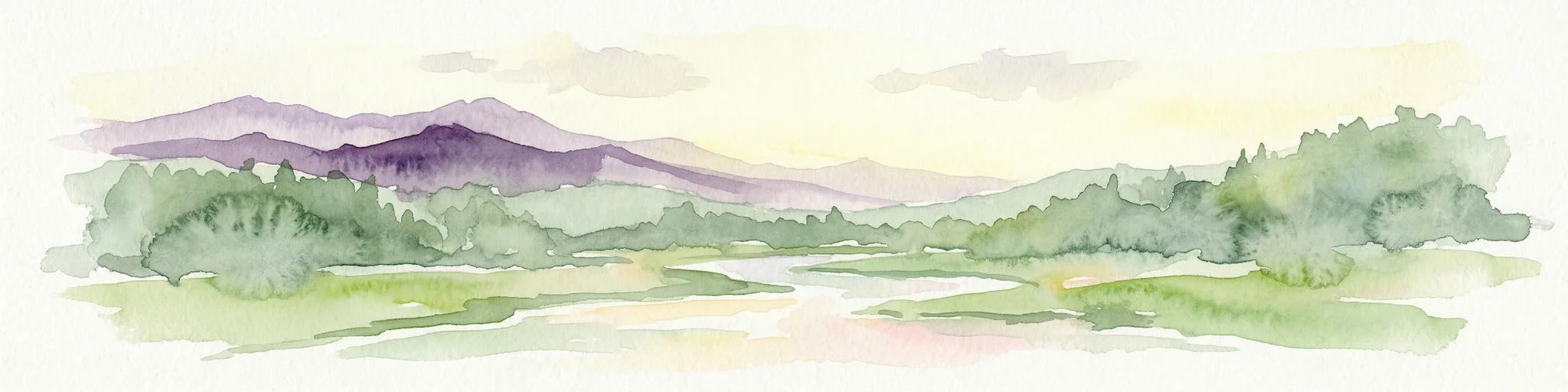
A soft watercolor painting showing a panoramic view of green hills, meadows, and water, with a light sunrise or sunset sky.
Protected landscapeMecklenburg-Vorpommern
About 65 km away#2 closest

South

Naturpark Mecklenburgische Schweiz und Kummerower See Protected Area and Landscape Map

Glacial lakes and Peene river valley geography

Located in Mecklenburg-Vorpommern, this protected landscape encompasses broad glacial lakes including Malchiner See and Kummerower See. The region is defined by its slow-moving river systems, ancient oak woodlands, and a historic network of manor estates that shape the surrounding terrain and biodiversity.

Area
673 km²
Established
1997
Relief
Upland
Climate
Temperate
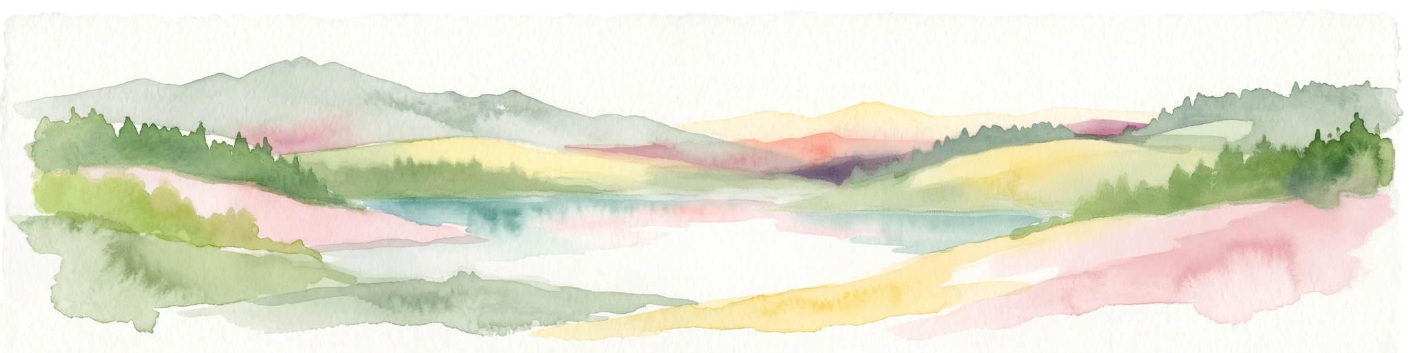
A watercolor painting of a rolling coastal landscape with green fields, sparse trees, a winding water channel, and soft pink and yellow sky.
Nature reserveLolland
About 67 km away#3 closest

West

Saksfjed-Hyllekrog Nature Reserve: Coastal Geography and Protected Landscapes of Southern Lolland

Mapped protected wetlands, coastal spits, and polder terrain in southern Denmark.

The Saksfjed-Hyllekrog nature reserve protects a mosaic of woodland, coastal meadows, and shorelines on the southern coast of Lolland. This geographic record details the reserve's polder embankments, the Hyllekrog coastal spit, and the interaction between reclaimed land and open marine waters, highlighting its importance as a Ramsar and Natura 2000 site.

Area
2.174 km²
Established
1995
Relief
Lowland
Climate
Temperate
Watercolor painting of a coastal landscape with green grass in the foreground, a line of trees in the midground, and a soft pink horizon in the distance.
Protected landscapeMecklenburg-Vorpommern
About 69 km away#4 closest

Southeast

Naturpark Insel Usedom: Geography and Protected Landscape Atlas

Coastal cliffs, lagoon systems, and diverse forest terrain in Mecklenburg-Vorpommern

Naturpark Insel Usedom encompasses the German side of Usedom Island, offering a condensed landscape that bridges the Baltic Sea with inland brackish lagoons. This protected area integrates sandy shorelines, steep moraine cliffs, and varied wetland habitats, making it an essential subject for understanding the ecological and geographic character of northeastern Germany.

Area
632 km²
Established
1999
Relief
Lowland
Climate
Temperate
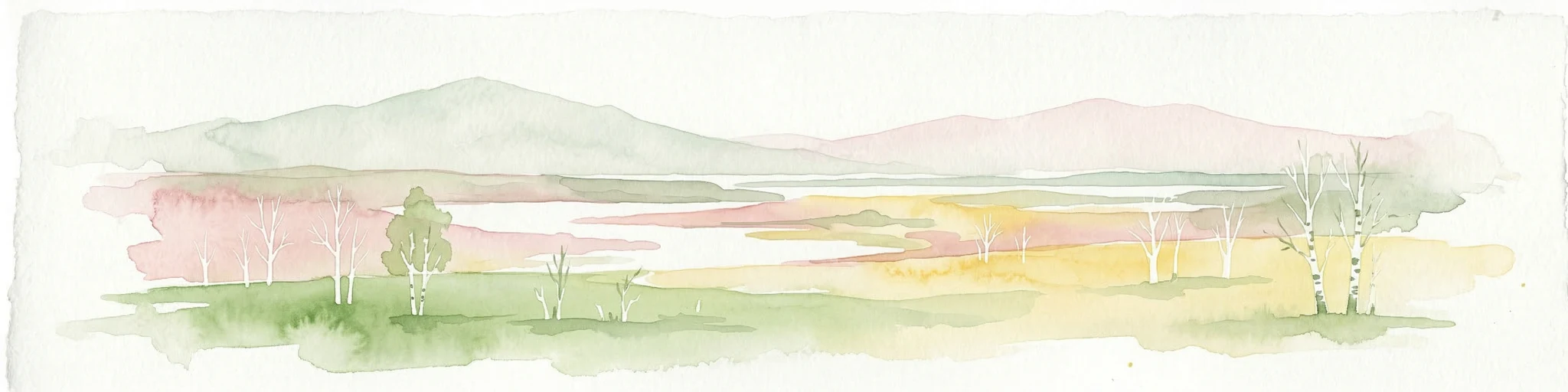
A soft watercolor painting depicting a calm lake surrounded by lush green trees and soft, rolling hills in the background.
Protected landscapeLolland
About 69 km away#5 closest

West

Naturpark Maribosøerne Protected Landscape and Glacial Geography in Denmark

Glacial lake ecosystems on the island of Lolland

The landscape of Naturpark Maribosøerne centers on four interconnected glacial lakes, characterized by twisting shorelines and shallow, nutrient-rich water. This protected area on Lolland blends ancient ice age terrain with historic manor estates, extensive wetlands, and managed forest zones. Its formal status as a Natura 2000 habitat and bird protection zone highlights the ecological importance of this unique southern Danish environment.

Area
11.4 km²
Established
1957
Water
Major water bodies
A soft watercolor painting depicting a calm shoreline with rolling hills and trees in the distance.
Nature reservePoland
70 km away#6 closest

East

Ostoja na Zatoce Pomorskiej: Mapping the Pomeranian Bay Marine Nature Reserve

Extensive marine protected landscape in the Baltic Sea

Ostoja na Zatoce Pomorskiej encompasses over 243,000 hectares of the southern Baltic Sea, serving as a primary marine nature reserve for the Polish coast. The sanctuary is defined by complex underwater features such as shallow sandy banks, gravel plains, and the prominent Odrzańska Ławica, which collectively support essential migratory waterbird populations and protected aquatic species within the European ecological network.

Area
2,430.59 km²
Established
2009
Relief
Lowland
Scope
Marine
A soft watercolor illustration of a coastal landscape with rolling green hills and pink and yellow sky reflected in calm water.
Nature reserveGermany
About 76 km away#7 closest

West

Fehmarnbelt Nature Reserve: Exploring Marine Geography and Protected Baltic Sea Habitats

Submerged trench, boulder reefs, and marine migration corridors

Fehmarnbelt is an ecologically significant nature reserve in the German Baltic Sea, recognized for its role in water exchange between two major seas. The area features a deep trench, dynamic megaripple formations, and boulder reefs that support complex benthic communities. This site stands as a key protected landscape for marine biodiversity and harbor porpoise preservation within the region.

Area
280 km²
Established
2017
Relief
Lowland
Climate
Temperate
Wildlife reserveDenmark
About 83 km away#8 closest

Northwest

Dybsø Fjord Wildlife Reserve: Coastal Geography and Protected Wetland Map in Denmark

A shallow fjord system on the southwestern coast of Zealand

Dybsø Fjord represents a primary protected landscape in Denmark, featuring a broad and exceptionally shallow lagoon environment. By tracing its boundaries and surrounding peninsulas, users can analyze a critical wetland habitat that supports international bird protection networks and reflects the unique coastal scenery of the Baltic region.

Area
17 km²
Established
1940
Relief
Lowland
Scope
Mixed
A horizontal watercolor painting showing a soft green shoreline in the foreground and rolling hills across the water in the distance.
Nature reserveNaestved Municipality
About 83 km away#9 closest

Northwest

Dybsø Nature Reserve: Protected Coastal Landscape in Naestved Municipality

Geographic atlas of a protected Danish barrier island

Dybsø is a distinct barrier island situated off the coast of Zealand. Its protected landscape consists of open grasslands, coastal reed beds, and freshwater ponds that shelter the shallow waters of the fjord system. As a designated nature reserve, the area represents a critical wildlife refuge, maintained through traditional grazing to preserve its unique maritime terrain and geological history.

Area
1.34 km²
Established
1978
Relief
Lowland
Climate
Temperate
Protected areaZachodniopomorskie
85 km away#10 closest

Southeast

Ujście Odry i Zalew Szczeciński: Protected Area Geography and Estuarine Landscape Mapping

Coastal lagoons, riverine deltas, and island habitats in Zachodniopomorskie.

This extensive protected area offers a comprehensive view of the Oder estuary as it meets the Baltic Sea. The landscape comprises broad lagoons, branching river channels, and coastal islands that provide crucial habitat for migratory waterbirds and sustain a rare brackish water ecosystem. Use this geographic entry to analyze the boundaries, terrain, and interconnected waterways of this major Polish nature site.

Area
526.12 km²
Established
2008
Relief
Lowland
Scope
Mixed
Watercolor painting depicting mountains, rivers, and green terrain
National parkWest Pomeranian Voivodeship
89 km away#11 closest

Southeast

Wolin National Park: Coastal Protected Landscape and Glacial Terrain in West Pomeranian Voivodeship

Explore Poland's first marine national park and its dynamic geography.

Wolin National Park offers a profound look into Poland's protected coastal geography. This national park in the West Pomeranian Voivodeship is distinguished by its high sea cliffs, inclusion of Baltic Sea and Szczecin Lagoon waters as Poland's first marine protected area, and a landscape sculpted by glacial moraines. Discover the park's complex delta systems, ancient forests, and the mapped terrain that supports significant bird migration, providing a rich focus for atlas exploration.

Area
109.37 km²
Established
1960
IUCN
II
Visitors
1.5M annual
National parkZachodniopomorskie Voivodeship
89 km away#12 closest

Southeast

Woliński Park Narodowy: Atlas Overview of Protected Coastal and Marine Environments

Examining moraine landscapes and marine park boundaries.

Woliński Park Narodowy stands as a critical protected area in the Zachodniopomorskie Voivodeship, blending terrestrial moraine ridges with marine ecosystems. This atlas entry provides geographic context for its coastal cliffs, inland lake district, and the expansive river delta that supports rare avian species.

Area
109.37 km²
Established
1960
Visitors
1.5M annual
Relief
Upland
Protected landscapeMecklenburg-Vorpommern
About 91 km away#13 closest

South

Naturpark Nossentiner/Schwinzer Heide: Geographic Atlas of an Inland Protected Landscape

Glacial Sanders and Lake Ecosystems in Mecklenburg-Vorpommern

This protected landscape features extensive pine-covered outwash plains and diverse kettle lakes shaped by glacial meltwater. Spanning the Mecklenburg-Vorpommern region, the park provides an essential study in inland natural geography, ranging from its unique sandy forest clearings to the protected moorland habitats that shelter bird populations.

Area
355 km²
Established
1990
Relief
Lowland
Scope
Terrestrial
Watercolor painting of a landscape with a lake, trees, and distant hills
National parkMecklenburg-Vorpommern
94 km away#14 closest

South

Müritz National Park: Explore Protected Beech Forests and Glacial Lakelands in Mecklenburg-Vorpommern

Germany's largest national park: mapped boundaries and terrain.

Müritz National Park represents a significant protected landscape within northeastern Germany's Mecklenburg-Vorpommern region. Its expansive territory encompasses not only Germany's largest lake, Müritz, but also substantial tracts of ancient beech forests awarded UNESCO World Heritage status. Users can explore the park's glacial terrain, its intricate network of lakes and wetlands, and understand its position within the regional geography, making it a key destination for structured atlas-based discovery of German protected areas.

Area
318 km²
Established
1990
IUCN
II
Relief
Lowland
Nature reserveFaxe Municipality
98 km away#15 closest

Northwest

Bagholt Mose: Protected Peatland Mosaic and Fen Geography in Faxe Municipality, Denmark

A high-value Natura 2000 protected wetland and bog habitat.

Bagholt Mose is a significant nature reserve situated within the Munkeskov forest of southern Zealand. The landscape features a distinct combination of historical peat cuttings and raised bog remnants, which together form a rare mosaic of nutrient-poor and calcareous fen communities that support an exceptional diversity of lowland bog flora.

Area
0.17 km²
Established
1985
Relief
Lowland
Scope
Terrestrial
Protected areaWest Pomeranian Voivodeship
109 km away#16 closest

East

Wybrzeże Trzebiatowskie Protected Area: Coastal Wetlands and Baltic Shoreline Map

A diverse wetland corridor in the West Pomeranian Voivodeship.

Wybrzeże Trzebiatowskie represents a significant stretch of the Baltic coastline, characterized by a narrow and elongated geographic profile. The protected landscape highlights a complex interplay of lagoon lakes, river floodplains, and classic dune systems, providing critical habitat within the broader West Pomeranian regional geography.

Area
317.576 km²
Established
2007
Relief
Lowland
Scope
Mixed
Nature reserveSolrød Kommune
About 109 km away#17 closest

North

Staunings Ø Nature Reserve: Exploring the Coastal Geomorphology of Solrød Kommune

A mapped barrier spit and wetland habitat on the eastern Zealand shoreline.

Staunings Ø functions as a textbook example of a coastal sand bar accretion in the shallow waters of Køge Bugt. This nature reserve protects a vital sequence of dunes, lagoons, and reedbeds that provide a clear view of coastal succession. Located near the urban edge of Solrød Kommune, it serves as a key site for understanding the interaction between natural coastal landforms and maritime environments in eastern Denmark.

Area
0.6 km²
Established
1999
Relief
Lowland
Climate
Temperate
Nature reserveDenmark
About 109 km away#18 closest

Northwest

Stigsnæs-Borreby-Basnæs Nor Nature Reserve: Mapped Geography and Coastal Landscape Context

Protected wetlands and migration corridors in southern Denmark

Stigsnæs-Borreby-Basnæs Nor encompasses a complex interplay of manor-influenced farmland, reed-fringed shallows, and essential marshlands. This nature reserve functions as a critical funnel for migratory raptors and waterfowl on the southwestern edge of the Zealand coast. The area integrates deep cultural history with internationally recognized habitats, offering a clear window into the coastal terrain and wetland structure of the region.

Area
12.15 km²
Established
1978
Relief
Lowland
Scope
Mixed
Protected areaZachodniopomorskie
110 km away#19 closest

Southeast

Łąki Skoszewskie Protected Area: Geography, Mapped Terrain, and Wetland Landscapes

Coastal marshland and bird sanctuary in Zachodniopomorskie

Located along the Szczecin Lagoon, Łąki Skoszewskie consists of extensive wet meadows, alder carrs, and Scots pine forests. This protected area provides a detailed look at the hydrological networks and coastal transition zones that define the unique natural landscape of northwestern Poland.

Area
90.834 km²
Established
2004
Relief
Lowland
Climate
Temperate
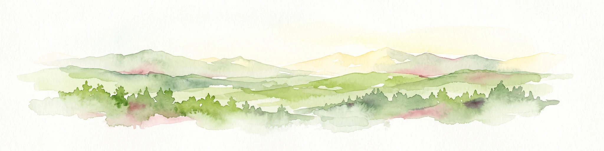
A horizontal watercolor painting showing rolling green hills and a dense forest line against a pale, light-colored sky background.
Protected landscapeWest Pomeranian Voivodeship
110 km away#20 closest

Southeast

Puszcza Goleniowska Protected Landscape: Geographic Profile and Mapped Boundaries

A large-scale lowland forest complex in West Pomeranian Voivodeship.

Puszcza Goleniowska represents a critical protected woodland in Poland, spanning 630 square kilometers of post-glacial plains. This forest complex is characterized by its pine-dominated canopy, widespread bog and marshland habitats, and a series of rivers and lakes that form the backbone of its regional drainage. The area encompasses numerous nature reserves and Natura 2000 sites, offering a comprehensive look at the lowland ecological structure of the West Pomeranian Voivodeship.

Area
630 km²
Established
1349
Relief
Lowland
Climate
Temperate
Distance methodology

Geographic measurements, not driving distances

How nearby park distances are calculated

Distances use park boundaries whenever the available geometry allows it. When one or both boundaries are missing, the mapped park locations provide a clearly labelled estimate. Every value represents straight-line geographic separation and does not use roads or routing.

Boundary distance

Calculated between the nearest points of both park boundaries.

Location-to-boundary estimate

Estimated from one mapped park location to the nearest boundary of the other park.

Mapped-location estimate

Estimated between the mapped locations of both parks.

MoriAtlas Explorer

Continue Exploring the Geography of Western Pomerania Lagoon Area National Park

Deepen your understanding of Western Pomerania Lagoon Area National Park by continuing your exploration on MoriAtlas. Investigate its precise mapped boundaries, its contribution to the regional geography of Mecklenburg-Vorpommern, and the unique characteristics of its protected coastal landscape. Discover how this national park fits into the broader context of protected areas and natural landscapes, offering a structured gateway to geographic discovery.