Mori Atlas logo
Protected landscapeZlatibor

Explore unique rolling upland plateaus, extensive pine forests, and alpine meadows within this protected area.

Zlatibor Protected Landscape: Discover the Mapped Geography and Natural Terrain of Serbia's Dinaric Alps

(Nature Park of Zlatibor)

Zlatibor Protected Landscape invites exploration of its distinctive geography within Serbia's Dinaric Alps. This protected area, stretching across approximately 42,000 hectares, features a terrain of rolling upland plateaus and cup-shaped hills, punctuated by extensive coniferous forests and pastoral meadows. With elevations ranging up to 1,496 meters at Tornik peak, Zlatibor offers a unique mapped landscape context, from its karst features and cave systems to natural boundaries formed by rivers like Uvac and Veliki Rzav. Understand this mountain's significance as a protected land through its terrain and mapped boundaries.

Nature ParkDinaric AlpsMountain landscapesConiferous forestsPine ecosystemsSkiing
Colorful illustration of a mountainous landscape with lake, forests, and mountains under a sky with clouds

Zlatibor

Protected landscape

Park overview

Structured park overview, official facts, and landscape profile for Zlatibor

Zlatibor park facts, protected area profile, and essential visitor context
Review the core facts for Zlatibor, including designation, size, terrain, visitor scale, habitats, and operating context in one park-focused overview.

About Zlatibor

Zlatibor is a nature park in western Serbia that has become one of the country"s most visited mountain destinations. The protected area was formally established in October 2017 after an initial process beginning in January 2016, covering a significant portion of the mountain and recognizing its ecological, landscape, and cultural value. The park sits within the Stari Vlah region, a historical border area between Raška, Herzegovina, and Bosnia, giving the landscape both geographic and cultural significance.

The area is characterized by its gentle, rolling terrain that distinguishes it from more rugged Serbian mountains. The average elevation hovers around 1,000 meters, creating an upland plateau environment that supports extensive meadows and pastures alongside coniferous forests. The mountain receives substantial precipitation throughout the year, with snowfall common from October through May and a snow cover lasting approximately 100 days on average.

Beyond its natural attributes, Zlatibor has developed as a four-season tourism destination. The town of Zlatibor (administratively part of Čajetina municipality) serves as the main visitor hub, offering hotels, restaurants, and recreational facilities. The Tornik ski resort provides winter sports infrastructure, while the extensive trail network supports hiking, paragliding, and other outdoor activities. The 2021 opening of the 8.95-kilometer panoramic gondola—the longest in the world—established a new landmark attraction connecting the town center with the mountain peak.

Quick facts and research context for Zlatibor

Zlatibor Nature Park occupies the northern part of the Stari Vlah region in western Serbia, spanning parts of Čajetina and Užice municipalities. The mountain's highest point is Tornik at 1,496 meters above sea level. The protected zone encompasses villages including Semegnjevo, Jablanica, Stublo, Dobroselica, Ljubiš, and Gostilje, with 56% of the land in private ownership. The park features several distinct regions: Viogor, Black Rzav, Uvac Gorge, and Griža Gorge. Prior to the 2017 protection status, smaller areas including the Park Forest strict natural reserve and natural monuments like the black pine sites had separate protection.

Park context

Deeper park guide and search-rich context for Zlatibor

Zlatibor history, landscape, wildlife, and travel context
Explore Zlatibor through its history, landscape character, ecosystems, wildlife, conservation priorities, cultural context, and seasonal travel timing in a structured park guide built for atlas discovery and search intent.

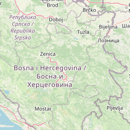
Why Zlatibor stands out

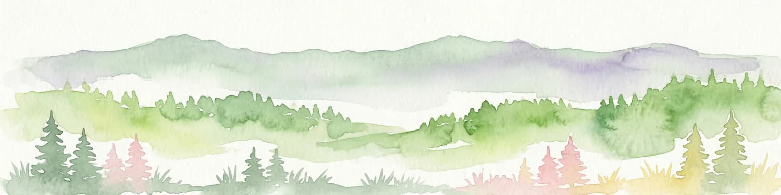
Zlatibor is best known for its expansive pine forests, alpine meadows, and the distinctive golden pine (Pinus sylvestris var. zlatiborica), a rare subspecies endemic to the mountain now extinct in the wild. The area is famous for its network of marked hiking trails totaling 300 kilometers across 20 routes, the world"s longest panoramic gondola connecting the town center to Tornik peak, and the Stopića Cave system with its limestone formations. The region also supports significant biodiversity including brown bears that have established a permanent population in the 21st century, and represents one of Serbia's most important areas for bird species with 154 recorded species.

Landscape view of Ribnik Lake with clouds reflected in the water, surrounded by forested hills and mountains under a blue sky
Clouds reflecting in Ribnik Lake

Zlatibor history and protected-area timeline

In the Middle Ages, the Zlatibor region was known as Rujno, a župa administrative district that formed part of Raška, the center of the medieval Serbian state. The name Zlatibor emerged in the 18th century, with its etymology likely deriving from Serbian words for "golden" (zlatni) and "pine" (bor), referring to the distinctive golden pine subspecies endemic to the mountain.

Medieval monasteries including Uvac Monastery and Dubrava once dotted the landscape. Uvac Monastery, dedicated to the Nativity of Mary, was destroyed by the Ottomans in the late 17th century and later rebuilt. Archaeological investigations in the 1990s and 2001 uncovered remains including a vault with 260 Venetian gold coins from the 17th century.

During World War II, Zlatibor became associated with the Yugoslav Partisans. In late 1941, as Partisan forces withdrew from the collapsing Republic of Užice, they transported and buried treasure—including silver and paper money—across the mountain. Various accounts describe the burial of approximately 6 tons of silver at locations including Borova Glava, with subsequent searches by both German forces and local populations. The mountain also served as refuge for 47 Allied airmen shot down over the area during 1944, who were subsequently rescued and transported to safety through Operation Halyard.

Modern tourism development began in earnest in 1893 when King Aleksandar Obrenović established the health resort, creating the foundation for Zlatibor"s enduring role as a climatic spa destination.

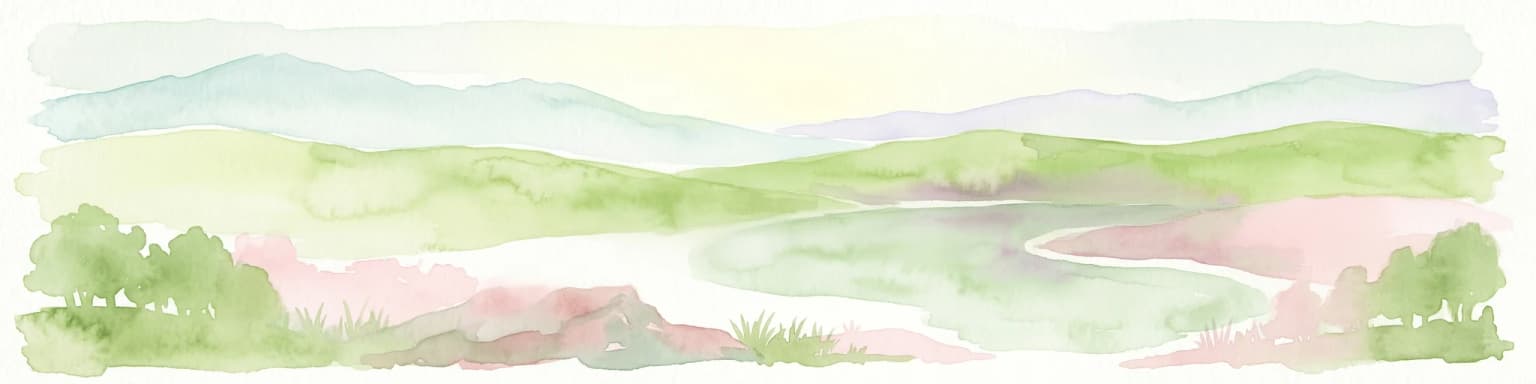
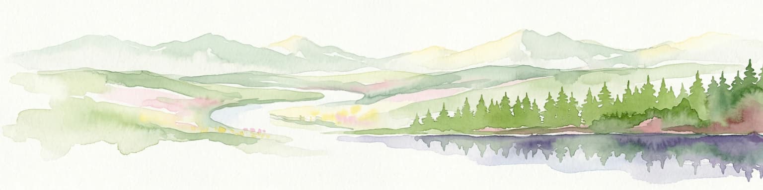
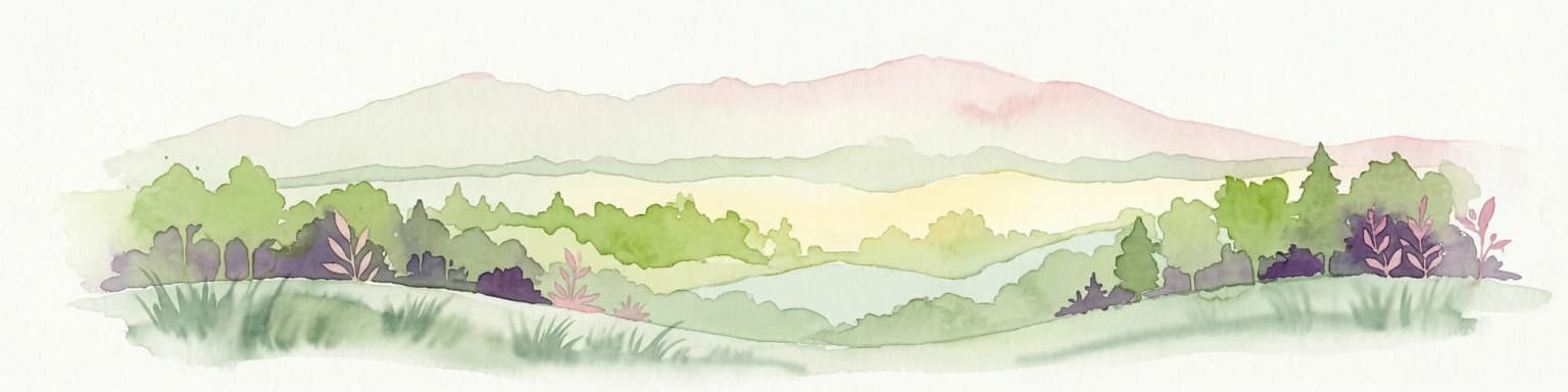
Zlatibor landscape and geographic character

Zlatibor"s landscape consists of rolling upland plateaus and cup-shaped hills that extend along ridges, creating a distinctive terrain distinct from more dramatic mountain landscapes in Serbia. The terrain slopes northward and northwestward, with the highest peaks concentrated in the southern portion of the mountain, gradually decreasing in elevation toward the north. Several larger flat areas, locally called "polje" (fields), punctuate the landscape, including Braneško polje near Branešci and Markov in Mokra Gora.

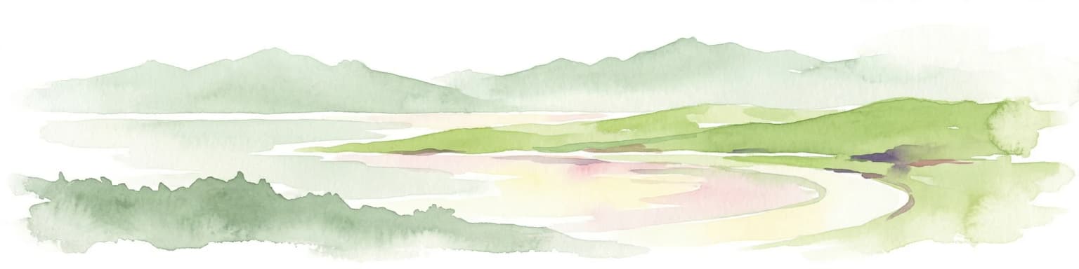
The geological composition is dominated by serpentine rocks, with younger limestone deposits found in Stublo and Semegnjevo, while Triassic limestone dominates southeastern areas. This geology has created numerous karst features including the cave systems of Stopića Cave, Rakovička, and Mumlava. The park contains 142 speleological objects—98 caves and 44 pits.

Water features include the artificial Ribnica Lake (created in 1971) and the Zlatibor Lake in the town center, along with numerous springs known for high water quality. The Gostilje waterfall drops 22 meters in the village of the same name. The Prerast Cave forms a natural stone bridge where the ceiling collapsed above a stream, also known as Točkovička Cave or Šupljica.

Wide snow-covered landscape with mountain peaks in the background, visible footprints in the snow, and a clear blue sky with sun rays. Distant buildings are visible on the left side.
Snow-covered landscape of Zlatibor mountain range in winter with sunlit trails and distant buildings under clear blue sky

Zlatibor ecosystems, habitats, and plant life

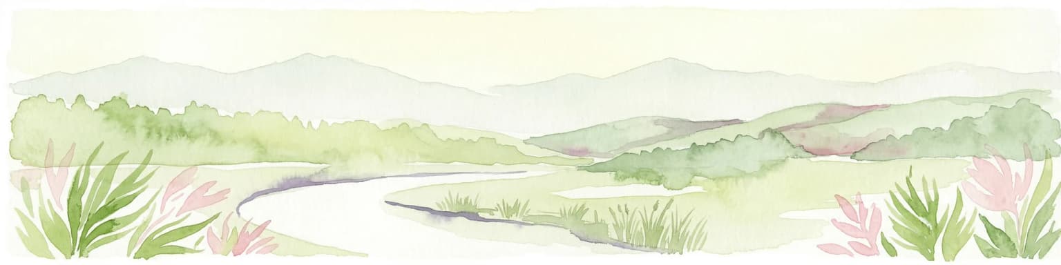
Zlatibor supports diverse ecosystems centered on coniferous forests and alpine meadows. The prevailing vegetation consists of autochthonous black pine forests and mixed forests of black and Scots pine, habitats prioritized for conservation under the Natura 2000 European network. The park contains 1,044 documented plant species, with meadows supporting approximately 120 grass species, many possessing medicinal properties.

The botanical heritage includes the rare golden pine (Pinus sylvestris var. zlatiborica), a subspecies once endemic to the mountain but now extinct in its natural habitat as of 2021, with only grafted specimens surviving in urban areas. Forest fruits including wild blackberries, blueberries, woodland strawberries, and chequers grow throughout the area, alongside medicinal herbs such as mountain germander, Breckland thyme, common yarrow, and great yellow gentian. Various fungi including cep, parasol mushroom, saffron milk cap, and field mushroom populate the forest floors.

Waterfall cascading down rocky terrain with greenery on both sides
Skakavac Waterfall flowing down rocky cliff surrounded by lush green vegetation in Zlatibor

Zlatibor wildlife and species highlights

The fauna of Zlatibor reflects the region"s position as an important ecological corridor in the Balkans. The park documents 18 species of amphibians and reptiles, 154 bird species representing 42% of all species recorded in Serbia, and 38 mammal species comprising 40% of Serbia"s mammalian diversity.

Large carnivores have returned to the area in recent decades, with brown bears establishing a permanent population on Zlatibor beginning in 2019, as tracking studies initiated in 2017 on nearby Golija mountain demonstrated the region serves as a primary transit corridor for bears moving between Tara, Šargan, Mokra Gora, Golija, Uvac, and Zlatar. Other mammals include wolf, otter, badger, wildcat, and marten.

The avifauna includes significant species such as the griffon vulture and golden eagle, both rare in Serbia. Fish populations in the rivers include trout, grayling, chub, and crested loach.

Waterfall flowing down dark rocks with some vegetation and trees in background
Waterfall cascading down rocky cliff face in Zlatibor mountain

Zlatibor conservation status and protection priorities

Zlatibor was designated as a Nature Park of Exceptional Importance (IUCN Category I) in October 2017, recognizing both its ecological value and landscape significance. The protected area encompasses distinct habitat types including the priority Natura 2000 habitats of black pine and mixed pine forests. The zoning system applies three levels of protection, with the first level covering 4.69% of the total area (approximately 1,969 hectares) and the settled areas in the lowest, third level.

The park protects several specific natural monuments including the "Lira black pine" near Nova Varoš and the "Three black pines – Dobroselica" near Čajetina, as well as the Park Forest strict natural reserve covering 12.54 hectares. Management challenges include the increasing bear population, which by 2023 had begun causing conflicts with local residents through attacks on livestock, orchards, and beehives, prompting authorities to propose bear-proof fencing and shepherd dog programs.

Zlatibor cultural meaning and human context

The Zlatibor region is historically associated with the Stari Vlah border area and its residents, known as Starovlasi (Old Serbs) or Era, trace ancestry to settlers from Montenegro and Herzegovina who arrived over centuries. The area developed a distinctive cultural identity reflected in traditional wooden architecture (brvnare), folk dress combining elements from Montenegro and Šumadija, and the characteristic slow, drawn-out Zlatibor dialect that contributed to Vuk Karadžić"s selection of the region"s speech as the foundation for modern Serbian literary language.

The region contains several wooden churches (crkve brvnare) in villages including Dobroselica, Jablanica, and Draglica, with the Dobroselica church dating to 1821. Medieval stećci tombstones, primarily from the Bogomil period, are found throughout village cemeteries. The Sirogojno open-air ethno museum preserves traditional wooden houses from across the mountain. Textile production, particularly woolen clothing, has been a traditional craft, with the Sirogojno brand achieving international recognition. The historic practice of kiridžija (caravan merchants) connecting to coastal trade routes shaped the region"s economic identity before railroad arrival in 1912.

Wide landscape showing valley with town, green hills, and distant mountains under clear blue sky
Panoramic view of Zlatibor settlement from Vrh Gradina

Top sights and standout views in Zlatibor

Zlatibor Nature Park offers a combination of accessible alpine scenery, forest ecosystems, and developed tourism infrastructure within a protected framework. The 8.95-kilometer panoramic gondola provides year-round access to the Tornik peak with views across the mountain and neighboring ranges. Stopića Cave represents a significant geological attraction with its accessible chamber system. The network of 20 marked hiking trails spanning 300 kilometers, including the challenging 21.9-kilometer Zlatibor-Spomenik-Čuker route, supports visitor exploration. The return of brown bears to the area represents an ecological success story and potential wildlife viewing opportunity. The cultural heritage of wooden architecture, traditional villages, and the historic spa development from 1893 add depth to the natural landscape.

Open grassy field with rolling hills under a blue sky with scattered clouds
Open grassland with rolling hills under a clear blue sky in Zlatibor

Best time to visit Zlatibor

Zlatibor offers distinct experiences across seasons. Summer (June through September) brings warm temperatures averaging around 18°C daily, extended sunshine, and ideal conditions for hiking the mountain trails, with the meadows in full flower and the landscape at its most vibrant. The gondola operates year-round, providing scenic access to the peaks. Winter (December through March) transforms the area into a ski destination with reliable snow cover, though temperatures drop significantly below freezing and conditions can be harsh. The shoulder seasons of spring and autumn offer quieter visitation, with spring bringing melting snow and new growth while autumn displays fall colors in the forests. The climate is characterized by frequent year-round precipitation, so visitors should anticipate rainfall regardless of season.

Park location guide

Geography guide, regional context, and park location map for Zlatibor

Zlatibor park geography, regions, and map view in Serbia
Understand where Zlatibor sits in Serbia through a broader geographic reading of the surrounding landscape, nearby location context, and its mapped position within the national park landscape.

How Zlatibor fits into Serbia

Serbia is a landlocked country in Southeast and Central Europe, bordered by eight neighboring countries. With a population of approximately 6.6 million, it operates as a unitary parliamentary republic with Belgrade as its capital. The country has a rich history dating back to medieval statehood in the 7th century and has been independent since 2006 following the dissolution of Serbia and Montenegro.

Wider geography shaping Zlatibor in Serbia

Serbia is a landlocked country in the Balkans, spanning parts of Southeast and Central Europe. It occupies a strategic position in the heart of the Balkan Peninsula, bordered by Hungary to the north, Romania to the northeast, Bulgaria to the southeast, North Macedonia to the south, Croatia to the northwest, Bosnia and Herzegovina to the west, and Montenegro to the southwest. The terrain varies from rolling plains in the north to mountainous regions in the south and east.

Map view of Zlatibor

Use this park location map to pinpoint Zlatibor in Serbia, understand its exact geographic position, and read its mapped placement within the surrounding landscape more clearly.

Pigeon | © OpenStreetMap contributors

Location context for Zlatibor

ČajetinaZlatibor District

Explore Zlatibor's Distinctive Alpine Meadows, Pine Forests, and Karst Terrain Through Curated Imagery

Zlatibor National Park Photography: Visual Guide to Its Mountain Landscapes and Protected Scenery
Explore Zlatibor Nature Park visually through a rich collection of photos detailing its rolling upland plateaus, expansive pine forests, and distinctive karst terrain. Gain clear insight into this Serbian protected area's diverse habitats and unique landscape character, understanding its topography and scenic beauty across various ecological zones.

Landscape view of Ribnik Lake with clouds reflected in the water, surrounded by forested hills and mountains under a blue sky

Snow-covered evergreen trees lining a snowy path under a clear blue sky, with a building partially visible in the background

Wide snow-covered landscape with mountain peaks in the background, visible footprints in the snow, and a clear blue sky with sun rays. Distant buildings are visible on the left side.

Waterfall cascading down rocky terrain with greenery on both sides

Waterfall flowing down dark rocks with some vegetation and trees in background

Waterfall flowing down rocky terrain surrounded by lush green vegetation and trees under a partly cloudy sky

Wide landscape showing valley with town, green hills, and distant mountains under clear blue sky

Open grassy field with rolling hills under a blue sky with scattered clouds

Wide panoramic view of rolling green hills and valleys with scattered trees under a partly cloudy sky

Grassy hillside with scattered pine trees, wooden cabin with yellow umbrella, and clear blue sky with clouds

Green grassy hill with three trees on the horizon under a bright blue sky with white clouds

Tall pine trees covered in snow with snow-covered ground and bright sky

Wide landscape view from a mountain peak with rolling hills, a lake, distant mountains, scattered buildings, and partly cloudy sky

A waterfall cascading down a rocky slope surrounded by lush green vegetation and trees

Grassy shoreline, lake, and trees with a red boat on the water under a blue sky with white clouds

Winding road through forested mountain landscape under partly cloudy sky

Park atlas

Trace the Dinaric Alps' protected landscapes and explore more mountain parks across Serbia, expanding your geographic atlas.

Discover Other Protected Areas Near Zlatibor Nature Park and its Surrounding Serbian Landscapes
Browse national parks and protected areas neighboring Zlatibor, exploring mountainous terrain, dense pine forests, and distinct Dinaric karst features across western Serbia. Compare varied conservation landscapes to understand regional ecological patterns and discover new opportunities for exploration within the broader Balkan mountains.
National park

Tara National Park: Endemic Flora and Dramatic Dinaric Alps Geography

Discover Serbia's iconic protected mountain landscape and its unique botanical heritage.

Tara National Park is a significant protected area in Serbia, celebrated for its exceptional botanical value and dramatic mountainous terrain. It is the last refuge for Pančić's spruce, a living fossil conifer, and hosts a remarkable diversity of Balkan flora. The park's landscape is defined by steep limestone cliffs, deep river valleys like the Drina canyon, and expansive forest ecosystems, offering a unique geographic study of protected lands. Explore its mapped features and discover a vital conservation area within the Dinaric Alps.

Area
249.92 km²
Established
1981
Relief
Mountain
Climate
Temperate
Watercolor painting showing a river canyon with mountains in the background and green vegetation in the foreground
National park

Drina National Park: Bosnia and Herzegovina's Protected Canyon and Endemic Ecosystem

Explore mapped geography and natural landscapes in this Balkan national park.

Drina National Park is a protected area in eastern Bosnia and Herzegovina, celebrated for its striking Drina River canyon landscape. As a national park, it preserves vital habitats for endemic species such as the Serbian spruce and provides a crucial geographic anchor for regional conservation. Its deep gorges and steep slopes offer a rich context for understanding the natural terrain and mapped boundaries within the broader Balkan geography.

Area
63.15 km²
Established
2017
IUCN
II
Relief
Mountain
Watercolor illustration of mountain ranges, a lake, and forested hills in soft pastel colors
National park

Sutjeska National Park: Bosnia and Herzegovina's Oldest National Park and Primeval Forest Reserve

Explore the mapped geography and protected landscape of this vital Balkan natural area.

Sutjeska National Park, Bosnia and Herzegovina's inaugural national park, protects a dramatic mountainous region defined by primeval forests and its highest peak, Maglić. As a strict nature reserve, Perućica's ancient trees represent a rare ecological treasure within the Balkan landscape. This page offers a detailed look at the park's protected boundaries, its diverse natural terrain, and its significant geographic setting for atlas exploration.

Area
160.52 km²
Established
1962
IUCN
II
Relief
Mountain
Watercolor painting showing green forests, a river, and pink-hued mountains in the background
Protected landscape

Kosmaj Protected Landscape: Explore Serbia's Island Mountain Geography and Forests

Mapped terrain, historic monasteries, and biodiversity near Belgrade.

Kosmaj, a unique protected landscape and island mountain, presents a compelling study in regional geography and mapped terrain for atlas enthusiasts. Rising prominently near Belgrade, its landscape is characterized by dense deciduous forests of beech and oak blanketing its steeper slopes, along with distinct peaks like Mali Vis and Goli Vis. This area serves as a vital watershed source and boasts significant biodiversity, offering a rich context for understanding Serbia's natural and historic environments through structured geographic data and map exploration.

Area
0.035 km²
Established
2005
Relief
Lowland
Climate
Temperate
National parkKosovo

Bjeshkët e Nemuna National Park: Kosovo's Largest Alpine Protected Landscape

Explore dramatic mountains, glacial lakes, and diverse ecosystems.

Delve into the protected geography of Bjeshkët e Nemuna National Park, Kosovo's expansive national park located in the Accursed Mountains. This atlas entry details its significant alpine terrain, from dense forests to high-altitude meadows, and highlights the presence of glacial lakes like Liqenat. Understand its role as a vital conservation corridor and a key component of the Balkan's natural heritage.

Area
630.28 km²
Established
2012
IUCN
II
Watercolor painting of a landscape featuring rolling hills, a lake, trees, and a sky with clouds
Natural monument

Avala Natural Monument: Iconic Protected Landscape and Regional Geography Near Belgrade

Explore Avala's mapped terrain and natural monument significance.

Avala Natural Monument offers a unique protected landscape and significant geographic context for the Belgrade metropolitan area. As one of Serbia's oldest protected natural sites, its distinct mountain terrain, geological composition, and panoramic views provide a rich subject for atlas-based discovery. Explore the mapped boundaries and natural features that define this prominent Serbian natural monument.

Area
5.01 km²
Established
1859
Relief
Mountain
Climate
Temperate
Watercolor painting showing a mountainous landscape with a lake, green hills, and pink flowers
National park

Alps of Albania National Park: Explore Albania's Largest Protected Alpine Wilderness

Dramatic karst, glacial valleys, and high-altitude ecosystems await.

The Alps of Albania National Park offers an expansive view into one of the Balkans' most significant mountain protected areas. This national park encompasses a spectacular landscape characterized by towering limestone peaks, deep glacial valleys carved over millennia, and intricate karst formations like Grunas Canyon. Its pristine wilderness protects diverse high-altitude ecosystems and unique geological features, serving as a key destination for understanding regional geography and protected landscapes.

Area
828.447 km²
Established
2022
IUCN
II
Relief
Mountain
National parkKosovo

Sharr Mountains National Park: Kosovo's Alpine Protected Landscape and Geographic Atlas

Explore its dramatic peaks and glacial terrain.

Sharr Mountains National Park in Kosovo is a prime example of dramatic alpine topography, featuring jagged peaks, steep glacial valleys, and clear evidence of ancient glacial shaping. This protected area safeguards critical ecosystems, including extensive old-growth forests and diverse alpine meadows, supporting notable wildlife conservation efforts. Its scenic ridgelines, glacial lakes, and mountain streams define the park's natural landscape, offering rich context for atlas-based geographic discovery within the Balkans.

Relief
Mountain
Scope
Terrestrial

Common questions about visiting, size, designation, and location context for Zlatibor

Zlatibor FAQs for park facts, access, geography, and protected area context
Find quick answers about Zlatibor, including protected-area facts, park geography, trail and visitor context, and how the park fits into its surrounding country and regional landscape.
MoriAtlas Explorer

Continue Your Protected Areas Search Across the Global Atlas

Deepen your exploration by continuing the structured search for national parks and protected areas worldwide. Utilize the comprehensive filtering capabilities to compare different conservation landscapes and refine your understanding of global park geography. Discover more about the distribution and characteristics of protected natural areas.

Global natural geography