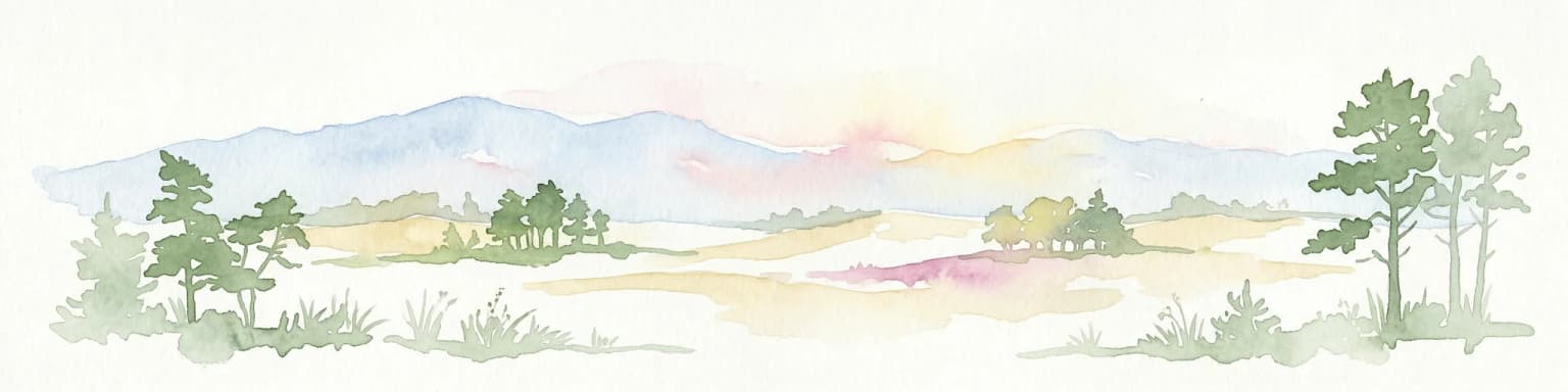
Mori Atlas logo
Nature reserveZwin

Discover mapped protected boundaries and the unique geography of this vital North Sea coastal ecosystem.

Zwin Nature Reserve: Explore Belgium's Historic Tidal Creek and Coastal Wetland Landscape

The Zwin Nature Reserve represents a remarkable example of a coastal wetland, preserving the remnants of a historic medieval tidal inlet on the North Sea coast of Belgium. This protected landscape showcases dynamic salt marsh ecosystems, mudflats, and dune formations, offering a unique geographic context for understanding coastal geomorphology and ecological resilience. As a key site for birdwatching and appreciating specialized halophyte plant communities, Zwin provides a rich visual and data-driven exploration of a vital natural area within the European atlas.

coastal wetlandssalt marshesbirdwatchingtidal creeksRamsar sitetransboundary protected area

Zwin

Nature reserve

Park overview

Structured park overview, official facts, and landscape profile for Zwin

Zwin park facts, protected area profile, and essential visitor context
Review the core facts for Zwin, including designation, size, terrain, visitor scale, habitats, and operating context in one park-focused overview.

About Zwin

The Zwin represents a unique transboundary conservation area where the histories of Belgium and the Netherlands intertwine through geography, ecology, and shared heritage. The nature reserve occupies the entrance channel of what was once a significant tidal inlet, formed during the Dunkirk transgression of 1134 when a storm broke through the Flemish coastline. This event created a waterway that penetrated roughly 15 kilometers inland, connecting the North Sea to the ports of Damme, Sluis, and ultimately Bruges. The new maritime access catalyzed Bruges' transformation from a regional market town into a major European trading hub, attracting merchants from across the continent and fostering the accumulation of wealth that built the city's iconic Gothic architecture and cultural institutions.

The natural dynamics of the coastal system eventually reversed this fortune. Beginning in the late 13th century, progressive silting narrowed and shallowed the Zwin channel, gradually making navigation increasingly difficult. By approximately 1500, the waterway had become impassable for seagoing vessels, effectively cutting off Bruges from the sea and ending its role as a major port. Trade subsequently shifted to Antwerp, which possessed better access to the Scheldt River, and the former Zwin channel retreated into the tidal creek system that survives today as the nature reserve.

The modern Zwin protects a dynamic coastal landscape characterized by intertidal mudflats, salt marshes, sandy beaches, and developing dune formations. The creek system, known locally as a slufter, remains functional with tidal flows and can be waded at low water when conditions permit. The reserve spans both Belgian and Dutch territory, with a notably unusual border configuration where marker 369 sits entirely on Dutch soil due to repeated erosion. Since 2019, the protected area has expanded following the breaching of the international dike, adding approximately 110 hectares to the Belgian side and 10 hectares to the Dutch side.

Quick facts and research context for Zwin

The Zwin nature reserve spans 1.25 km² in Knokke-Heist, Belgium and 0.33 km² in Sluis, Netherlands, totaling approximately 1.58 km². Founded in 1952 and designated a Ramsar Wetland in March 1986, the reserve protects a transboundary creek system characterized by salt marshes, mudflats, and dune formations. The area is renowned for its salt-tolerant flora, particularly sea lavender which blooms from August through September. The site holds historical significance as the former maritime approach to medieval Bruges and the location of several notable sea battles during the Middle Ages and Eighty Years' War.

Park context

Deeper park guide and search-rich context for Zwin

Zwin history, landscape, wildlife, and travel context
Explore Zwin through its history, landscape character, ecosystems, wildlife, conservation priorities, cultural context, and seasonal travel timing in a structured park guide built for atlas discovery and search intent.

Why Zwin stands out

The Zwin is best known for its exceptional salt marsh ecosystem and remarkable plant diversity. The reserve harbors a large variety of halophyte species adapted to the saline coastal environment, with sea lavender being particularly celebrated for its striking purple blossoms that carpet the area in late summer. The wetland's position along the East Atlantic Flyway makes it a prime birdwatching location, attracting both amateur and professional ornithologists. The site also preserves the legacy of Bruges' maritime history as the ancient waterway that transformed a small trading settlement into one of medieval Europe's most powerful port cities.

Close-up of purple sea lavender flowers with green grass and sandy soil
Sea lavender flowers growing on sandy ground with grass

Zwin history and protected-area timeline

The Zwin's history is inseparable from the rise and fall of medieval Bruges as a European trading power. The tidal inlet's formation in 1134 created a maritime connection that would shape the economic destiny of the entire region for centuries. Bruges leveraged its access to North Sea trade routes to become the northern counterpart to Mediterranean powers like Venice and Genoa, hosting the famous wool market and attracting banking interests that established early financial institutions.

The establishment of auxiliary ports along the Zwin reflects the progressive challenge of maintaining maritime access as the channel silted. Damme served as the first outport, followed by Hoeke, then Mude (present-day Sint Anna ter Muiden), and finally Sluis as the waterway pushed progressively closer to the sea. Each transition marked another stage in the inexorable shoaling that would ultimately abandon Bruges to landlocked status.

Several significant naval engagements occurred within the Zwin's waters across different historical periods. The Battle of Damme in May 1213 saw English forces raid the French fleet anchored in the inlet, successfully preventing a planned invasion of England. The Battle of Sluys in June 1340 represented one of the opening engagements of the Hundred Years' War, with English king Edward III decisively defeating a French fleet. During the Eighty Years' War between the Dutch Republic and Spain, the Battle of Sluis in 1603 involved Spanish galleys attempting to break through a Dutch blockade. These engagements underscore the Zwin's strategic importance across centuries of conflict.

The nature reserve was formally established in 1952, creating protected status for the remaining wetland ecosystem. International recognition followed with Ramsar designation in 1986, acknowledging the site's ecological significance as a coastal wetland of international importance.

Zwin landscape and geographic character

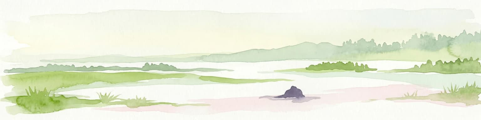
The Zwin landscape embodies the characteristic features of a tidal creek system on a subsiding coastal plain. The terrain comprises a network of interconnected channels, mudflats, and salt marsh zones that experience twice-daily tidal inundation. Sandy deposits accumulate along the creek margins, while established salt marsh vegetation stabilizes higher elevations. The system includes beach ridges and embryonic dune formations that develop where wind-blown sand accumulates above the high-tide line.

The creek system's morphology reflects its origin as a major medieval waterway now reduced by sedimentation to a fraction of its historical scale. Originally, the inlet mouth measured over six kilometers in width, with the towers of Westkapelle and Knokke serving as navigational beacons for vessels approaching Bruges. Today, the remaining channel is considerably narrower, though it retains its functional tidal character.

The Dutch-language sources note the area as a known locality for fossil shark teeth approximately 40 million years old, indicating the geological antiquity of the coastal sediments. This paleontological interest adds another dimension to the site's natural heritage beyond its active ecological processes.

Zwin ecosystems, habitats, and plant life

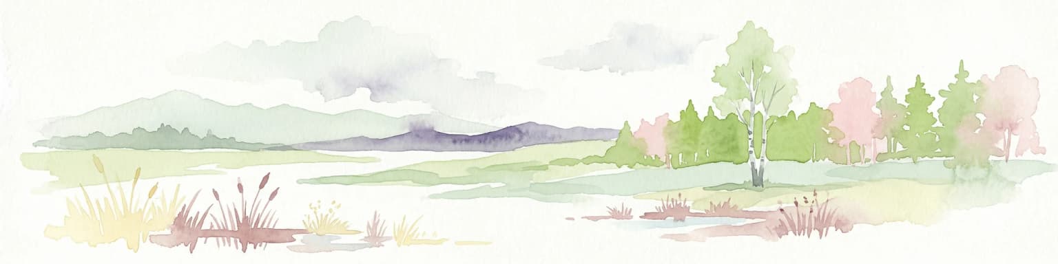
The Zwin's ecological character is defined by the interface between marine and terrestrial environments, creating a gradient of habitats from genuinely marine mudflats through increasingly terrestrial salt marshes to dune and grassland communities. The site's saline conditions support a distinctive flora adapted to tolerate regular saltwater exposure, earning the reserve its reputation for exceptional plant diversity.

Sea lavender dominates the late summer landscape, producing dense stands of purple flowers that attract considerable attention from nature enthusiasts. This species represents just one component of a broader community of halophytic plants that have evolved specialized mechanisms for dealing with high soil salinity, periodic inundation, and exposure to coastal weather. The salt marsh vegetation zone provides important ecosystem functions including sediment stabilization, nutrient cycling, and habitat provision for specialized invertebrates.

The wetland's position along major migratory flyways makes it ecologically significant as a seasonal staging area for numerous bird species. While the English source mentions popularity among bird watchers, the specific avian communities and seasonal patterns would support ongoing ornithological interest. The presence of a white stork population distinguishes the site within Belgium, as these iconic birds have limited established ranges within the country.

Zwin wildlife and species highlights

The Zwin supports characteristic wetland wildlife communities adapted to the dynamic tidal environment. The site's avian interest centers on both resident species and migratory visitors that utilize the wetland as a feeding and resting area during their seasonal movements along the East Atlantic Flyway. The presence of white storks represents a particular conservation success, as this species has precarious status in Belgium with limited breeding populations.

The mudflats and shallow channels provide feeding habitat for wading birds and waterfowl, while the salt marsh and dune areas offer nesting opportunities for species adapted to coastal grassland and shrub communities. The small zoo present within the reserve maintains domestic bird species, though this represents a separate visitor amenity rather than a core conservation function.

Invertebrate communities in the mudflats and salt marsh support food chains that sustain the bird populations, with specialized salt-tolerant insects and crustaceans occupying ecological niches unique to coastal wetland environments. The fossil shark teeth noted in the Dutch source indicate the site's geological interest but represent paleontological rather than living wildlife.

Zwin conservation status and protection priorities

The Zwin's conservation significance is formally recognized through its designation as a Ramsar Wetland of International Importance, achieved on March 4, 1986. This international designation acknowledges the site's value as a coastal wetland ecosystem supporting biodiversity and providing ecosystem services including water filtration, sediment stabilization, and carbon sequestration. The Ramsar framework commits Belgium and the Netherlands to maintaining the ecological character of the protected area.

The transboundary nature of the reserve presents both challenges and opportunities for conservation management. The 2019 expansion of the protected area through the breaching of the international dike demonstrates active management aimed at restoring natural tidal processes and expanding habitat availability. This restoration work added approximately 120 hectares to the combined protected area, improving the ecological functionality of the creek system.

The site's value for salt-resistant flora and as a birdwatching destination creates opportunities for conservation through sustainable tourism, generating public interest in coastal wetland preservation while providing economic justification for ongoing protection efforts.

Zwin cultural meaning and human context

The Zwin embodies the intersection of natural processes and human history along the medieval Flemish coast. The inlet's formation in 1134 and its subsequent development as the maritime approach to Bruges created economic conditions that built one of medieval Europe's wealthiest cities. The network of ports that developed along the Zwin channel, from Damme to Sluis, represents the material remains of a maritime trading system that connected northern European commerce with Mediterranean networks.

The border between Belgium and the Netherlands follows the creek system in this area, with the unusual situation of marker 369 sitting entirely on Dutch territory due to erosion dynamics. This reflects the ongoing natural processes that continue to shape the landscape, just as they created the inlet centuries ago.

The historical sea battles that occurred within the Zwin's waters connect the site to broader narratives of medieval warfare and the geopolitical struggles between England, France, the Dutch Republic, and Spain. These engagements transformed the quiet waterway into a stage for some of the period's most significant naval confrontations.

Top sights and standout views in Zwin

The Zwin stands out as a transboundary wetland where medieval commercial history meets living coastal ecology. Its legacy as the maritime gateway that enabled Bruges' Golden Age contrasts with the dynamic natural processes of erosion and sedimentation that eventually ended that chapter. The reserve protects one of Europe's more accessible tidal creek systems, allowing visitors to experience the rhythms of tidal inundation and discover salt marsh environments at close range. The spectacular displays of sea lavender in late summer, the presence of breeding white storks, and the site's popularity among bird enthusiasts all contribute to its identity as a nature destination that combines historical depth with ecological vitality.

Best time to visit Zwin

The Zwin can be visited throughout the year, though different seasons offer distinct experiences. Late summer, particularly August and September, brings the bloom of sea lavender when the salt marshes display their most famous floral show. This period coincides with peak bird migration along the East Atlantic Flyway, making it particularly rewarding for birdwatchers. The winter months expose more of the mudflat and creek system as vegetation dies back, offering different perspectives on the landscape's structure. Tidal conditions affect the visitor experience regardless of season, with low water allowing access to areas that remain submerged at high tide. Spring brings the return of migratory birds and the fresh green growth of salt marsh vegetation, while autumn offers the departing spectacle of southward migration.

Park location guide

Geography guide, regional context, and park location map for Zwin

Zwin park geography, regions, and map view in Belgium
Understand where Zwin sits in Belgium through a broader geographic reading of the surrounding landscape, nearby location context, and its mapped position within the national park landscape.

How Zwin fits into Belgium

Belgium is a parliamentary constitutional monarchy and federal state in Northwestern Europe. Located in the Low Countries, it borders the Netherlands, Germany, Luxembourg, France, and the North Sea. The country has three autonomous regions and three official languages, with Brussels as both the capital and largest city. Belgium is a founding member of the European Union and hosts its de facto capital in Brussels.

Wider geography shaping Zwin in Belgium

Belgium occupies a coastal lowland region in Northwestern Europe known as the Low Countries. It is bordered by the Netherlands to the north, Germany to the east, Luxembourg to the southeast, France to the south, and the North Sea to the west. The country also shares a maritime boundary with the United Kingdom to the northwest.

Map view of Zwin

Use this park location map to pinpoint Zwin in Belgium, understand its exact geographic position, and read its mapped placement within the surrounding landscape more clearly.

Pigeon | © OpenStreetMap contributors

Explore the characteristic salt marshes, dynamic mudflats, and dune environments through detailed imagery.

Zwin Protected Area Photos: Visual Guide to Coastal Wetlands and Tidal Inlet Landscapes
Visually explore the distinctive landscapes of Zwin, a significant transboundary nature reserve, featuring dynamic tidal creeks, expansive mudflats, and unique salt marsh environments. These images provide essential insights into the park's coastal wetland habitats, showcasing its characteristic scenery, diverse birdlife, and the protected-area environment that supports specialized flora like sea lavender.

Close-up of purple sea lavender flowers with green grass and sandy soil

Sandy beach with shallow tidal water channels and low sand dunes covered in sparse vegetation under a partly cloudy sky.

Park atlas

Explore the Regional Spread of Transboundary Wetlands and Historic Coastal Landscapes Adjacent to Zwin

Discover Other Coastal Protected Areas and National Parks Near Zwin, Tracing North Sea Wetland Geography
Browse other significant protected areas and coastal wetlands situated near Zwin, extending across the Belgian-Dutch North Sea border. Compare the diverse salt marsh ecosystems, tidal creek systems, and unique conservation landscapes that define this historically rich European region.
Watercolor illustration of a coastal landscape with marshy areas, calm water, and distant hills
National parkZeeland

Oosterschelde National Park: A Dynamic Tidal Marine Ecosystem in Zeeland, Netherlands

Explore the geography of Netherlands' largest protected tidal landscape.

Oosterschelde National Park represents a unique intersection of natural dynamism and human engineering within the Zeeland province. As the Netherlands' largest national park, it safeguards a vast tidal lagoon system characterized by its profound tidal flats and sandbanks that transform landscape twice daily. This protected area offers a remarkable case study in coastal geography and marine conservation, with its rich ecosystems supporting diverse wildlife and providing excellent opportunities for sport diving and birdwatching. Delve into the mapped context of this significant Dutch protected landscape.

Area
370 km²
Established
2002
IUCN
II
Relief
Lowland
National park

De Zoom, Kalmthoutse Heide Cross-Border Park: Transboundary National Park & Heathland Atlas

Explore mapped protected boundaries and regional geography.

This page details the De Zoom, Kalmthoutse Heide Cross-Border Park, a significant national park that merges Belgian and Dutch protected territories. It is recognized for its expansive heathland, a crucial ecosystem in the Benelux region, offering a rich visual and ecological study. The park's mapped landscape context reveals its unique geography, from dry heathlands to Ramsar-designated wetlands, providing valuable insight for atlas-based exploration of protected areas. Understand the park's protected area identity and its role within the regional landscape.

Area
37.5 km²
Established
2001
IUCN
II
Watercolor illustration showing a network of rivers, trees, and hills in a wetland landscape
National park

De Biesbosch National Park: A Dutch National Park Mapping Tidal Wetlands and Flood Forests

Explore mapped waterways and diverse protected landscapes.

Delve into the geography of De Biesbosch National Park, a remarkable protected area in the Netherlands renowned for its extensive freshwater tidal wetlands. This national park showcases a unique landscape defined by intricate river systems, dominant willow flood forests, and vital reed beds, serving as a critical habitat for migratory birds and a prime example of wetland restoration. Understand its place within the regional geography through our atlas-driven approach to protected land discovery.

Area
90 km²
Established
1994
IUCN
II
Relief
Lowland
Watercolor artwork showing sand dunes, scattered trees, distant mountains, and soft sky
National park

De Loonse en Drunense Duinen National Park: Explore Dutch Protected Sand Drift Landscapes and Heathlands

National Park with unique living sand drift and dune terrain.

Navigate the geographic contours and protected land boundaries of De Loonse en Drunense Duinen National Park, a premier Dutch natural area. This national park is celebrated for its extensive living sand drift, one of the largest in Northern Europe, alongside significant heathlands and coniferous forests. Gain a structured understanding of its landscape character and its role within regional geography through detailed map context and atlas exploration tools.

Area
35 km²
Established
2002
IUCN
II
Relief
Lowland
Watercolor illustration of rolling hills, a winding river, and fields with distant mountains
National parkNorth Brabant

Van Gogh National Park: National Park in North Brabant with Dune Landscapes

Explore mapped protected areas and regional geography.

Van Gogh National Park is a significant protected landscape in North Brabant, Netherlands, covering approximately 1,200 square kilometers. This national park is distinguished by its extensive drift sand dune systems, notable heathlands, and wooded valleys, offering a diverse terrain within the Dutch context. Named in tribute to Vincent van Gogh, it merges rich natural landscapes with cultural heritage, serving as a model for collaborative conservation and regional development, all mapped for detailed atlas exploration.

Area
1,200 km²
Established
2024
IUCN
II
Relief
Lowland
Watercolor depiction of rolling coastal dunes, blue waterways, green vegetation, and distant hills under a light sky
National parkNorth Holland

Zuid-Kennemerland National Park: Coastal Dune Protected Landscape in North Holland

Explore its unique mapped terrain and protected area geography.

Zuid-Kennemerland National Park showcases a remarkable coastal dune ecosystem situated in the North Holland province. This national park entry provides detailed insight into its protected landscape, from calcium-rich dune soils supporting rare flora to ancient woodlands and extensive walking trails. Users can explore the park's mapped boundaries, understand its geographic setting within the Netherlands, and appreciate its significance as a conservation area. Discover the natural terrain and ecological richness that characterize this important Dutch protected land.

Area
38 km²
Established
1995
IUCN
II
Visitors
1.8M annual
Protected areaBelgium

Burdinale Protected Area: Explore its Mapped Landscape and Geographic Context in Belgium

Mapped protected area discovery within Belgium's geography.

Burdinale Protected Area serves as a key point for understanding Belgium's protected lands from an atlas perspective. This page details the park's specific geographic setting and mapped natural landscape, providing essential context for regional geography exploration. Discover the protected boundaries and terrain features that define Burdinale, contributing to a structured overview of conservation areas.

Scope
Mixed
Water
Major water bodies
Watercolor landscape showing green hills, forests, and a small stream with grassy patches
National parkUtrecht Province

Utrechtse Heuvelrug National Park: Mapped Protected Landscape and Geographic Atlas

Discover Utrecht Province's glacial ridge and diverse natural terrain.

Utrechtse Heuvelrug National Park is a significant protected natural area located in Utrecht Province, renowned for its unique glacial ridge topography. This entry provides detailed information about its mapped boundaries, diverse landscapes including heathlands and forests, and its importance as an ecological corridor within the Netherlands. Explore the park's distinct geography and its role in regional conservation through our structured atlas view.

Area
100 km²
Established
2003
IUCN
II
Visitors
1M annual

Common questions about visiting, size, designation, and location context for Zwin

Zwin FAQs for park facts, access, geography, and protected area context
Find quick answers about Zwin, including protected-area facts, park geography, trail and visitor context, and how the park fits into its surrounding country and regional landscape.
MoriAtlas Explorer

Continue Your Protected Areas Search Across the Global Atlas

Deepen your exploration by continuing the structured search for national parks and protected areas worldwide. Utilize the comprehensive filtering capabilities to compare different conservation landscapes and refine your understanding of global park geography. Discover more about the distribution and characteristics of protected natural areas.

Global natural geography