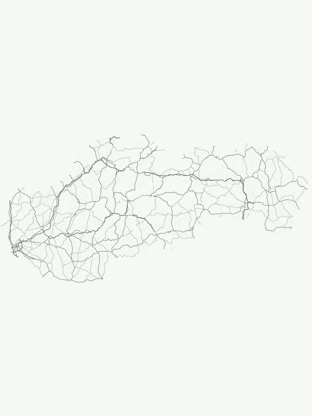
Explore the mapped boundaries and regional context of Slovakia's nationally recognized park system.
Slovakia National Parks: A Geographic Atlas of Protected Landscapes and Natural Areas
Slovakia's national parks represent a crucial component of its protected natural heritage, offering a unique lens through which to understand the country's diverse geography. This page serves as a country-specific index for these significant protected areas, detailing their distribution across the Slovak landscape and providing context for exploring their mapped boundaries. Discover the atlas of national parks that define Slovakia's commitment to landscape conservation and biodiversity.
The Carpathian Mountain Protected Areas and Regional Park Geography of Slovakia
Slovakia's National Parks: Exploring the Nationally Protected Landscapes
Slovakia's national parks represent its most significant protected areas, safeguarding diverse landscapes, crucial biodiversity, and the country's unique natural heritage. Discover the network of national parks across Slovakia, exploring their geographical distribution within the Carpathian Mountains and understanding their role in the nation's conservation efforts.
Slovakia's National Parks: An Atlas List for Geographic Discovery and Protected Area Exploration
Browse a curated list of Slovakia's national parks, detailing each protected area's geographic location and significant features across the country's varied terrain. This filtered view offers insights into their regional distribution and conservation significance, valuable for comparative atlas-style discovery across Slovakia's protected areas.
National parkSlovakiaMountain
Tatra National Park
Protected Mountain Terrain in the Carpathian Range
Examine the geographic framework of Tatra National Park, a significant protected area in Slovakia defined by dramatic glacial valleys, over three hundred caves, and high-altitude mountain ecosystems. This authoritative entry provides a detailed look at the park's alpine boundaries, hydrological networks, and role as a transboundary biosphere reserve in the Carpathian Mountains.
Mapped terrain and unique mountain meadows in Slovakia's Eastern Carpathians.
Delve into Poloniny National Park, a protected national park located in the Prešov Region of Slovakia. This entry focuses on the park's distinct protected landscape identity, featuring its extensive primeval beech forests that form part of a UNESCO World Heritage site, and its characteristic polonina meadows. Understand its geographic positioning within the Bukovské vrchy mountains and its role as a transboundary protected area, offering a unique lens for atlas-based discovery of Carpathian natural heritage.
Explore the boundaries and terrain of this national park.
Investigate Slovak Paradise National Park, a designated national park situated within Slovakia's Košice Region. This detailed entry provides essential context for understanding its protected landscape features, mapped geographic distribution, and role within regional atlas exploration. Discover its unique terrain and boundaries to build a comprehensive view of Slovak conservation areas.
Explore protected terrain and mapped underground wonders in Košice Region.
Slovak Karst National Park offers an unparalleled glimpse into a dynamic karst environment. As a designated national park and UNESCO Biosphere Reserve, it preserves a significant concentration of caves, dramatic limestone formations, and rugged canyons within its territory in southeastern Slovakia. This atlas-focused presentation highlights the park's distinctive geology, mapped landscape features, and its importance as a protected natural area within the broader geography of the Košice Region. Understand the park's surface topography and its world-renowned subterranean realms.
Explore karst terrain, river gorge geography, and mountain boundaries
Pieniny National Park showcases remarkable limestone scenery and rare karst microhabitats along the Slovak-Polish border. This atlas focus provides a technical overview of the park's physical boundaries, river canyon systems, and its geological significance within the Prešov Region. Access key geographic data regarding the Lesser Pieniny ridges and the unique ecological corridors that define this internationally recognized conservation zone.
Explore the mapped terrain and regional geography.
Malá Fatra National Park serves as a cornerstone for understanding Slovakia's protected landscapes. This dedicated park page provides crucial geographic context, detailing its national park designation and the extent of its protected area boundaries. Users can leverage MoriAtlas to visualize the park's location within the broader regional geography, facilitating a structured approach to discovering its natural landscape and terrain through map-based exploration.
Explore the park's mapped boundaries and regional natural terrain.
Veľká Fatra National Park stands as a distinct protected area, offering critical insights into Slovakia's regional geography and landscape character. This entry provides an atlas-driven perspective on its mapped boundaries and its significance as a national park. Delve into the structured geographic details and protected land context that define Veľká Fatra National Park for comprehensive discovery.
Explore mapped boundaries, caves, and endemic flora in Banská Bystrica Region.
Muránska planina National Park represents a significant protected landscape in central Slovakia's Banská Bystrica Region, defined by its extensive karst topography. This national park encompasses a limestone and dolomite plateau rich with geological wonders, including over 150 caves, sinkholes, and karst springs. The unique contrast between the flat plateau surface and the sharp, rocky ravines showcases a dramatic natural terrain. Explore the park's mapped boundaries and its remarkable biodiversity, highlighted by 35 endemic species and rare Tertiary relict flora like Daphne arbuscula, making it a key destination for atlas-based geographic discovery.