Mori Atlas logo
Countries

Browse the mapped distribution of protected lands and natural landscapes across Algeria.

Algeria National Parks and Protected Areas: A Geographic Atlas Explorer

Algeria, the largest country in Africa, offers a vast geography rich with diverse natural landscapes and significant protected areas. This atlas entry point allows for structured exploration of its national parks and conservation regions, highlighting their geographic spread and regional context. Discover the mapped boundaries and terrain of protected lands from the Mediterranean coast to the vast Sahara.

Related tags

north african countrymaghrebsaharamediterranean coastarab country
About

Trace Algeria's vast park geography, exploring its Mediterranean coastal reserves, Tell Atlas mountains, and expansive Saharan protected landscapes.

Explore Algeria's National Parks and Diverse Protected Areas on a Mapped Atlas
Browse the national parks and protected areas of Algeria, a vast North African country encompassing Mediterranean coasts, the Tell Atlas mountains, and the expansive Sahara Desert. Explore the mapped geography of these diverse conservation landscapes, gaining regional context and a comprehensive overview of Algeria's significant protected-area network.

Algeria is a North African country spanning over 2.38 million km², making it the largest country in Africa. It borders the Mediterranean Sea to the north and shares land borders with seven countries. The population exceeds 47 million, with most concentrated in the northern coastal region.

Algeria has been at the crossroads of numerous cultures and civilizations for millennia, including Phoenicians, Numidians, Romans, and Byzantines. Its modern identity is rooted in Arab Muslim migration since the seventh century and the Arabization of indigenous Berber populations. Following centuries of Islamic rule, it was colonized by France in 1830 and gained independence in 1962. The country is a unitary semi-presidential republic with Algiers as its capital and largest city.

Largest city:Algiers
Currency code:DZD
ISO code:DZ
Parks count
10
Capital
Algiers
Area
2,381,740 km²
Population
47,400,000 (2,025)

Coastal
Island
Mountainous
Landlocked
Park atlas10 parks

Explore Algeria's Diverse Protected Landscapes, from Mediterranean Coasts to Saharan Frontiers

Discover National Parks in Algeria: A Comprehensive Atlas of Protected Areas
Browse a structured list of national parks and protected areas across Algeria, covering its vast North African geography. This country-level view offers an essential atlas for understanding the distribution of protected landscapes, from the coastal Tell Atlas to the expansive Sahara Desert.
National parkAlgeria

Théniet El Had National Park: Atlas Cedar Forests in Algeria's Tell Atlas Mountains

Discover protected montane landscape and regional geography.

Théniet El Had National Park represents a significant protected landscape in Algeria, characterized by its towering Atlas cedar forests and dramatic mountainous terrain within the Tell Atlas range. Spanning elevations from 1,200 to over 2,200 meters, this national park offers a distinct example of Mediterranean mountain ecosystems. Its unique forest cover and rugged topography provide crucial habitat and watershed functions, making it a key location for understanding protected area geography and landscape context in North Africa.

IUCN
II
Relief
Mountain
Climate
Mediterranean
Scope
Terrestrial
National parkEl Tarf Province

El Kala National Park: Protected Wetlands and Barbary Stag Habitat

Explore its mapped geography and vital ecosystem context.

El Kala National Park represents a crucial protected landscape within El Tarf Province, Algeria, recognized internationally for its extensive Mediterranean wetlands and rich biodiversity. This national park is a vital ecological zone, comprising six major lakes and a significant stretch of coastline, offering a unique mosaic of aquatic and terrestrial environments. Its role as a sanctuary for the Barbary stag and migratory birds highlights its importance in regional conservation efforts. Exploring El Kala National Park provides insight into the mapped terrain, protected boundaries, and distinct geographic features that define this significant North African natural area.

Area
764 km²
Established
1993
IUCN
II
Visitors
30K annual
National parkJijel Province

Taza National Park: Protected Mediterranean Coast and Tell Atlas Forest Landscape

Explore its unique mapped geography and conservation significance.

Taza National Park, situated in Algeria's Jijel Province, represents a crucial protected landscape where the Tell Atlas mountains meet the Mediterranean Sea. This 3,807-hectare national park is celebrated for its dramatic coastal cliffs, extensive cork oak and gall oak forests, the largest in Algeria, and its designation as a UNESCO biosphere reserve. The park's geography facilitates unique habitat zones, making it a key area for atlas-based discovery of North African biodiversity, including the Barbary macaque and Algerian nuthatch, within a landscape of exceptional natural beauty and conservation priority.

Area
38.07 km²
Established
1923
IUCN
II
Relief
Mountain
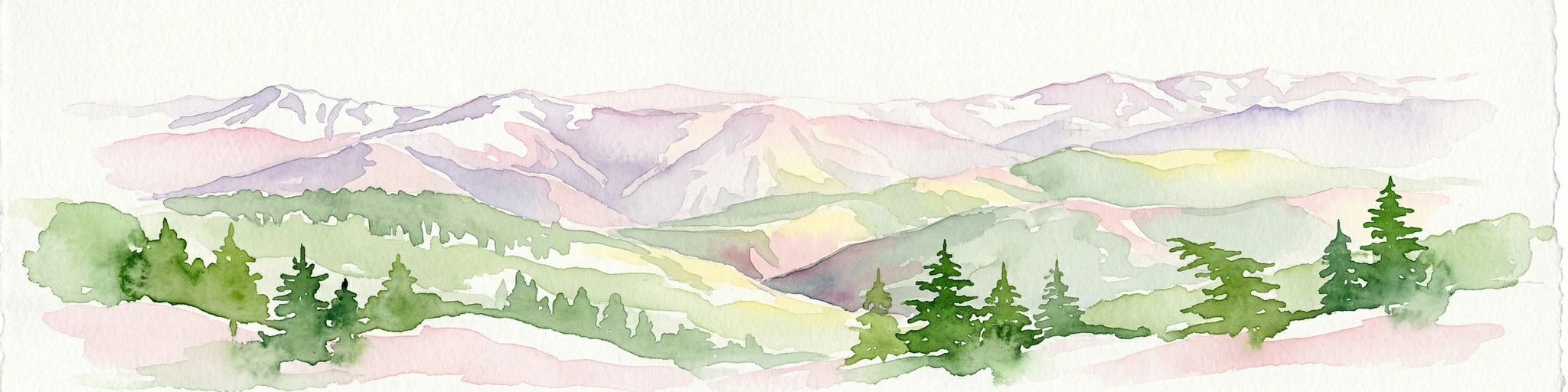
Watercolor painting showing mountain ranges with snow-capped peaks, green forests, and rolling hills in a scenic landscape
National parkAlgeria

Chréa National Park: Algeria's Unique Mountain Landscape and Ancient Cedar Atlas

Explore protected terrain, mapped cedar forests, and unique habitats in the Tell Atlas.

Chréa National Park is a significant protected natural area in Algeria, renowned for its ancient Atlas cedar forests and its position within the mountainous Blidean Atlas range. This national park preserves a unique landscape characterized by dramatic ridgelines, diverse elevations, and critical habitats for species like the Barbary macaque. Its protected status ensures the conservation of these vital ecosystems, offering users a rich resource for understanding Algeria's mountain geography and the distribution of its rare cedar forest ecosystems.

Area
260 km²
Established
1985
IUCN
II
Relief
Mountain
National parkAlgeria

Tassili n'Ajjer National Park: A Protected Saharan Landscape in Algeria

Explore its mapped boundaries and regional geographic context.

Tassili n'Ajjer National Park is a large national park situated in Algeria, renowned for its protected status and vast desert geography. This park offers rich opportunities for atlas-based exploration, allowing users to trace its extensive mapped boundaries and understand its position within the broader North African landscape. Discover the unique terrain and natural features that define this significant protected area, providing essential geographic context.

Area
72,000 km²
Established
1972
Relief
Mountain
Climate
Arid
National parkKabylie

Djurdjura National Park: A National Park within Algeria's Kabylie Region Landscape

Explore its mapped boundaries and protected area geography.

Djurdjura National Park offers a focused exploration of a key protected landscape in Algeria. As a national park, it serves as a vital point for understanding regional geography and the distribution of conservation lands within Kabylie. Discover the park's mapped extent and its significance as a protected natural area, providing a crucial layer for geographic analysis and atlas exploration.

Area
185 km²
Established
1983
IUCN
II
Visitors
500K annual
National parkBéjaïa Province

Gouraya National Park: Algeria's Protected Landscape in Béjaïa Province

Discover its mapped boundaries and regional geography.

Gouraya National Park is a designated national park in Algeria, located within the administrative region of Béjaïa Province. This MoriAtlas entry focuses on its protected-area status and geographic identity, providing key details for atlas-driven exploration. Users can understand the park's mapped landscape, its regional context, and its significance as a protected natural area for geographic study and discovery.

Area
20.8 km²
Established
1984
IUCN
II
Visitors
60K annual
National parkAlgeria

Djebel Aissa National Park: Algeria's Mapped Protected Landscape and Geographic Context

Explore the geographic features and park boundaries.

Djebel Aissa National Park represents a key protected natural landscape within Algeria, serving as a vital point for atlas-driven geographic discovery. Users can explore the park's mapped boundaries and understand its role as a national park within the broader context of Algerian geography. This detailed view highlights the park's specific landscape identity and its contribution to the regional protected areas map, offering a focused look at its terrain and protected status.

Area
244 km²
Established
2003
IUCN
II
Climate
Arid
National parkBatna Province

Belezma National Park National Park: Mapped Protected Landscape and Geographic Context in Batna Province

Explore its protected area boundaries and regional natural terrain.

Gain a clear understanding of Belezma National Park's protected landscape and geographic position. This entry details its mapped boundaries within Batna Province, providing essential context for atlas-based exploration of Algeria's natural terrain and protected areas. Discover the specific geographic identity that makes Belezma National Park a key feature within its regional landscape.

Area
262.5 km²
Established
1984
IUCN
II
Visitors
100K annual
National parkTlemcen Province

Tlemcen National Park National Park: Mapped Boundaries and Regional Geographic Context

Discover protected landscapes within Tlemcen Province.

Delve into Tlemcen National Park, an important protected landscape situated within Tlemcen Province. This detail page offers a focused exploration of its specific geographic identity, mapped park boundaries, and the natural terrain it encompasses, providing essential context for understanding its role in regional geography and protected land exploration within Algeria.

Area
82.25 km²
Established
1993
IUCN
II
Relief
Mixed relief
Landscape and environment

Understand how Algeria is shaped by terrain, ecosystems, and seasonal conditions

Algeria geography, nature, climate, and landscape context for park-focused travel research
Explore the physical geography, natural setting, and climate patterns of Algeria through a location-first overview built for travel research, national park discovery, and broader regional context. This section helps explain how landscapes, habitats, and environmental conditions shape what people search for, where they travel, and how they experience protected areas in Algeria.

Algeria geography and landscape

Algeria occupies the central portion of the Maghreb region in North Africa. It is bordered by Tunisia and Libya to the northeast, Niger to the southeast, Mali, Mauritania, and Western Sahara to the southwest, and Morocco to the west. The Mediterranean Sea forms its northern border. The terrain consists of the Tell Atlas mountain range and coastal plains in the north, transitioning to the Sahara desert in the south.

Algeria nature and environment

Northern Algeria features mountainous terrain with Mediterranean vegetation, while the southern region is dominated by the Sahara, one of the world's largest deserts. The coastal zone supports varied ecosystems despite semi-arid conditions.

Algeria climate and seasonal conditions

Algeria has a semi-arid climate, with the Sahara desert dominating most of the territory. The northern coastal region experiences a Mediterranean climate with more moderate conditions suitable for agriculture.

Explore this place

Related topics and popular queries

Ways to explore Algeria
Useful phrases, related topics, and discovery prompts connected to Algeria.
algeria country informationwhere is algeria locatedalgeria largest country in africaalgeria geography and climatealgeria population and capitalalgeria countrynorth africamaghrebalgeria geographyalgeria populationalgeria capital algiersalgeria Saharaalgeria mediterranean
Park map

Visualize the spatial distribution of Algeria's national parks and protected areas, from the Mediterranean coast to the Sahara.

Algeria National Parks Map: Discover Protected Area Locations and Geographic Spread
Preview the mapped locations of Algeria's national parks and other protected areas, tracing their positions across the expansive North African country. Explore the dedicated Algeria parks map page for a comprehensive geographic overview, revealing the spatial spread of conservation landscapes from the Mediterranean coast to the Sahara region.

Understanding Algeria's Park Geography, Mediterranean Coasts, and Saharan Protected Landscapes

Frequently Asked Questions About National Parks in Algeria: Exploring Protected Areas
Explore common questions regarding the national parks and diverse protected areas of Algeria, from its Mediterranean coast to the vast Saharan interior, to gain a deeper understanding of its conservation efforts. These frequently asked questions provide essential geographic context and atlas-style insights into the distribution and characteristics of Algeria's significant natural landscapes.
Other countries

Browse comprehensive park lists and mapped geography across North Africa and the wider regional atlas.

Explore National Parks and Protected Areas in Countries Near Algeria
Discover national parks and protected areas in countries bordering or regionally associated with Algeria, offering a clear geographic context for comparative exploration. Review country-level park coverage and trace the spread of conservation landscapes across diverse regional terrain.

Spain's National Parks and Protected Areas: A Comprehensive Geographic Atlas

Delve into the protected natural heritage of Spain through a structured atlas approach. MoriAtlas details the geographic distribution and mapped boundaries of national parks and conservation areas. Understand the regional context and landscape features that define Spain's commitment to preserving its natural terrain, offering a unique perspective for geographic discovery.

17 parks

Tunisia National Parks and Protected Areas Geography Explorer

Navigate Tunisia's protected natural areas and national parks through a comprehensive geographic lens. This atlas-style explorer helps you understand the distribution and context of conservation lands, from coastal regions to Saharan ecosystems, offering detailed map insights into each protected landscape.

12 parks

Morocco National Parks and Protected Areas: Mapped Landscape Explorer

Delve into the structured geographic data for Morocco's national parks and protected natural areas. This atlas provides a clear view of protected land distribution, allowing for detailed exploration of landscapes ranging from coastal wetlands to mountainous terrain. Understand the scope of conservation efforts through mapped boundaries and regional context.

11 parks

Libya National Parks and Protected Areas Atlas: Explore Mapped Landscapes

Navigate Libya's protected natural areas through a geography-centric atlas. This resource aids in understanding the distribution and landscape context of its national parks and protected lands, facilitating a deeper appreciation of the region's natural terrain and conservation geography.

5 parks

Mali National Parks and Protected Areas: Browse Protected Landscapes and Geography

Navigate Mali's protected natural areas, from the Sudanian savanna to woodland ecosystems, using this comprehensive atlas view. Explore the geographic distribution and mapped boundaries of national parks and conservation lands across this West African nation. Gain structured insight into the country's natural terrain and its importance for regional geography and habitat protection.

4 parks

Niger National Parks and Protected Areas: Geographic Atlas Discovery

Delve into the structured geography of Niger's protected areas and national parks. This resource provides an atlas-style view of conservation landscapes across the country, detailing their distribution within the vast Saharan and Sahelian environments. Understand the mapped boundaries and natural terrain that characterize Niger's commitment to protecting its unique ecosystems.

3 parks

Mauritania National Parks and Protected Areas: Geographic Atlas and Discovery

Access a structured view of Mauritania's national parks and protected areas, focusing on their geographic placement and landscape context. This atlas provides essential details for understanding the distribution of conservation efforts and natural terrains across the country. Navigate through mapped regions and discover the unique geographic features that define Mauritania's protected natural heritage.

2 parks

Andorra's National Parks and Protected Landscapes: Atlas & Map Explorer

This entry provides a detailed geographic overview of national parks and protected natural areas within Andorra. Utilize MoriAtlas to visualize their distribution, understand the mapped boundaries, and explore the regional geography of this small but significant European nation. It serves as a key atlas resource for understanding Andorra's conservation landscapes.

1 park

Protected area types

Continue Exploring Algeria's Protected Area Designations and Park Geography

Deepen your understanding of Algeria's conservation landscape by continuing to explore its represented protected area designations. This pathway provides valuable context for Algeria's national parks and other classification types, offering detailed geographic insights for atlas-based discovery.

Algeria Protected Area Designations
MoriAtlas Explorer

Continue Your Global Geographic Exploration with MoriAtlas Park Discovery

Dive deeper into the world's protected landscapes and national parks through MoriAtlas's structured atlas interface. Discover how continents and countries are organized, and how individual park geography fits into the broader map. Our platform is built for understanding the distribution and context of protected areas worldwide, facilitating your journey through global natural geography.

Global natural geography