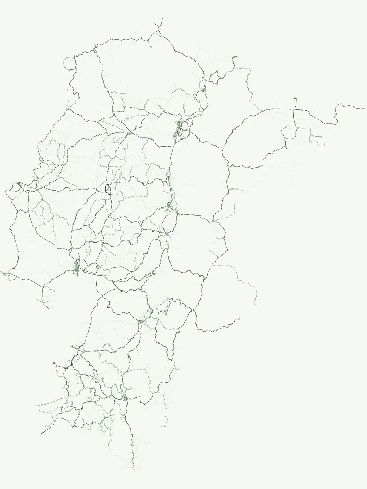
Discover the distribution and mapped boundaries of Ecuador's flagship national park designation.
Ecuador National Parks: A Comprehensive Atlas of Protected Landscapes and Geographic Context
This page serves as the dedicated atlas resource for Ecuador's National Parks, highlighting a designation crucial for landscape conservation and biodiversity recognition. Explore the geographic spread of these significant protected areas across the country, understand their regional context, and gain insight into the mapped terrain that defines this protected landscape network.
Trace the geographic spread of Ecuador's flagship national parks, from Andean mountains to the Galápagos Islands.
National Parks in Ecuador: Exploring South America's Diverse Protected Areas
The National Park designation in Ecuador represents nationally significant protected areas, safeguarding vital landscapes, unique biodiversity, and natural heritage. Browse this core network to trace the country's diverse park geography, from high Andean páramos to Amazonian rainforests and the unique Galápagos Islands.
Parks in this designationReview the variety of nationally protected park areas, tracing their geographic distribution across Ecuador's diverse terrain.10 / 14
Ecuador National Parks: Explore Protected Landscapes and Mapped Geographic Areas
Browse the comprehensive list of National Parks in Ecuador, covering important conservation landscapes from the Amazon rainforest and Andean mountains to volcanic terrain. This filtered view offers a clear national-level atlas to compare park locations, geographic features, and conservation mandates across protected areas.
National parkGalápagos Islands
Galápagos National Park
Explore unique endemic species and mapped landscapes of the Galápagos Islands.
Volcanic islands support distinctive wildlife, including giant tortoises, marine iguanas, and flightless cormorants.
Explore Ecuador's protected area boundaries and regional terrain.
Sangay National Park serves as a crucial protected landscape within Ecuador, offering rich opportunities for atlas and geography exploration. This page details the park's specific mapped boundaries and its natural terrain, providing essential context for understanding its place within South America's broader geographic tapestry. Investigate Sangay National Park's identity as a protected national park and its value for focused landscape and regional discovery.
Explore the mapped boundaries and regional terrain of this key national park.
Delve into the atlas-level details of Yasuní National Park, Ecuador's designated national park. This entry provides essential geographic context, focusing on the park's mapped boundaries and its role as a protected landscape within the region. Understand the specific terrain and protected area distribution that makes Yasuní National Park a significant point of geographic interest for atlas exploration.
Discover elfin forests, paramo, and over 100 lagoons.
Podocarpus National Park, situated in southeastern Ecuador, stands as a prime example of a protected natural area at a unique biogeographic crossroads. This national park spans dramatic elevational zones, from montane rain forests to high-elevation paramo ecosystems dotted with more than 100 lagoons, offering rich mapped landscape exploration. Its significance lies in the convergence of four distinct ecological systems, contributing to exceptional biodiversity and a rich tapestry of natural terrain.
Explore protected areas and biodiversity in the Andean-Amazon transition.
Sumaco Napo-Galeras National Park protects a dramatic volcanic landscape in Ecuador, showcasing a significant elevation gradient that supports diverse cloud forest and Amazonian rainforest habitats. This national park is recognized for its endemic species and rich avifauna, offering a compelling case study for understanding protected land geography and ecological transitions within South America.
Explore the geographic context of this national park.
Cotopaxi National Park represents a key protected landscape within Ecuador, located in Cotopaxi Province. This page facilitates detailed exploration of the park's mapped boundaries and its contribution to the regional geography. Understand the specific characteristics of this national park as part of a broader atlas of protected areas and natural terrains.
Exploring the extreme vertical transition across the northern Ecuadorian Andes
Cotacachi Cayapas National Park stands as a vital protected area, linking high-altitude páramo around Volcán Cotacachi to the lowland forests of the Chocó. The park features the iconic Laguna de Cuicocha and a dramatic range of ecosystems that define its complex terrain. This resource offers a clear look at the park's boundaries, geological features, and the distinct ecological zones that make it a central pillar of northern Ecuadorian geography.
Explore the mapped geography and regional context of this Ecuadorian national park.
Llanganates National Park is a designated national park offering rich opportunities for geographic and landscape exploration. As a significant protected area in Ecuador, it provides crucial context for understanding the country's natural terrain and the distribution of its conservation landscapes. This entry is designed to facilitate an atlas-style discovery of the park's location, boundaries, and its role within the broader geography of the region.
Explore mapped natural landscapes and regional geography.
Delve into Machalilla National Park, a protected national park situated in Ecuador's Manabí Province. This page provides a focused view on its protected landscape character, emphasizing its geographic setting and mapped natural terrain. Understand how Machalilla National Park fits into the regional geography, offering a distinct case study for protected-area discovery and landscape atlas exploration.
More designation routesUncover the varied conservation landscapes and protected area types across Ecuador's geography.5
Ecuador's National Parks and Diverse Protected Area Categories
Explore Ecuador's ten national parks and their unique geographic spread, alongside other significant protected area types found throughout the country. Trace the country's diverse conservation efforts by comparing distinct protected landscapes and their unique geographic roles within Ecuador's varied terrain.
Mapped conservation zones and protected natural areas
Nature reserve
26%
Access a structured view of nature reserves in Ecuador, focusing on the conservation of sensitive ecosystems and diverse biological habitats. Use this mapped overview to analyze protected landscapes, identify regional concentrations, and understand the role of these specific areas in maintaining the national environmental framework.
An atlas of conservation zones and habitat protection.
Wildlife reserve
26%
Gain insight into Ecuador's approach to wildlife conservation through this geographic index of reserves. These protected areas cover diverse terrain, from coastal mangroves to high Andean ecosystems, providing critical continuity for wild animal populations and indigenous flora.
Regional index of protected natural areas in Ecuador.
Protected area
9%
Explore the collection of protected areas across Ecuador, featuring a variety of conservation sites and reserves. This atlas focuses on mapping these essential lands to support a broader understanding of protected natural terrain within the country.
Coastal conservation geography and aquatic site mapping
Marine protected area
5%
Examine the network of marine protected areas throughout Ecuador. This resource maps the distribution of coastal reserves, mangrove systems, and ocean-linked habitats, providing a clear geographic view of the country's commitment to aquatic ecosystem conservation.
Managed ecological stewardship and protected landscape zones
Biosphere reserve
2%
Examine the designated Biosphere reserve regions in Ecuador, highlighting areas defined by long-term ecological research and sustainable land coordination. This atlas view provides context for protected landscapes where human activity and conservation coexist within a unified management framework.