Mori Atlas logo
Nearby park discovery

Regional mapped geography and protected area distribution surrounding the lagoon

National Parks and Protected Landscapes Located Near Chilika Lake in Odisha India

Examine the geographic distribution of protected lands and natural areas situated within the vicinity of Chilika Lake. This spatial analysis focuses on the broader landscape context, identifying neighboring conservation zones that share the coastal and estuarine characteristics of the Odisha region.

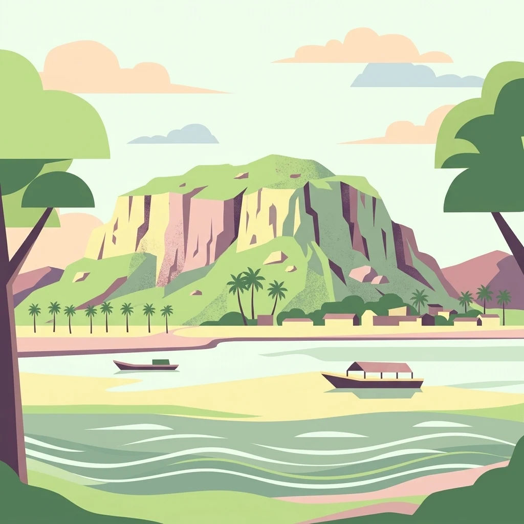
A flat-style digital illustration showing a calm body of water with two small wooden boats, a sandy shoreline, a village, and a large, rocky green hill in the background.

Asia's largest brackish-water lagoon and a Ramsar-recognized haven for migratory birds and Irrawaddy dolphins.

Chilika Lake

Chilika Lake is the largest brackish-water lagoon with estuarine characteristics on the east coast of the Indian subcontinent, spreading across the Puri, Khordha, and Ganjam districts of Odisha where it meets the Bay of Bengal. Its shallow, bar-built body of water, framed by the Eastern Ghats on the west and a long barrier beach on the east, shifts in size with the monsoons and supports a remarkable blend of freshwater, brackish, and marine ecosystems. Recognized as one of India's first two Ramsar Wetlands of International Importance in 1981 and later listed as a tentative UNESCO World Heritage site, Chilika is one of Asia's most celebrated biodiversity hotspots. It is the single largest wintering ground for migratory waterbirds on the Indian subcontinent, hosting species that travel from the Caspian Sea, Lake Baikal, the Siberian steppes, and the Himalayas. The lagoon is also the only known habitat of Irrawaddy dolphins in India, and it sustains roughly 200,000 fisherfolk from more than 130 surrounding villages. Beyond its ecological significance, Chilika is deeply woven into the cultural identity of coastal Odisha. Ancient ports along its shores once launched maritime trade toward Southeast Asia, and the lake continues to inspire Odia poetry, festivals such as Bali Yatra, and pilgrimage traditions tied to small islands within the lagoon.

Location
India
Park type
Protected area
Established
1981
Area
1,165 km²
Highest point
2 m
Chilika Lake Protected Area Geography
Regional park map

See the ranked park cluster in its geographic setting

Nearby parks around Chilika Lake

This regional map shows the same 20 nearby parks ranked below around Chilika Lake. Select a ranked marker to highlight that park’s boundary where boundary data is available.
Reference park: Chilika LakeRanked nearby park20 nearby parks shown
20 nearby parks

Distance-ranked conservation landscapes and regional protected-area comparisons

Parks and Protected Areas Geographically Near Chilika Lake

Geographic distance measurements establish a ranked index of protected areas surrounding Chilika Lake for structured spatial comparison. Regional park geography and recorded environmental profiles reveal broader ecological patterns across the surrounding territory.
A watercolor illustration showing a winding river through a lush green mangrove forest with hills in the background.
Wildlife reserveOdisha
About 197 km away#1 closest

Northeast

Bhitarkanika Mangroves Wildlife Reserve: Coastal Geography and Protected Land Atlas

A vast estuarine wetland in the coastal state of Odisha

Bhitarkanika Mangroves represents one of the most significant estuarine systems in South Asia. This protected wildlife reserve covers a sprawling deltaic landscape characterized by tidal channels, mudflats, and intricate mangrove forests that buffer the coastline of Odisha against the Bay of Bengal.

Area
650 km²
Established
1975
Relief
Lowland
Scope
Mixed
National parkKendrapara district
About 210 km away#2 closest

Northeast

Bhitarkanika National Park: Protected National Park in Kendrapara District

Explore its mapped boundaries and regional landscape.

Bhitarkanika National Park, a designated national park in India's Kendrapara district, offers a unique opportunity for geographic discovery. This page details the park's protected area status, its specific landscape characteristics, and its position within the regional geography. Engage with structured data about its mapped boundaries and understand its environmental context for comprehensive atlas exploration.

Area
145 km²
Established
1998
IUCN
II
Relief
Lowland
Watercolor illustration showing a landscape with trees, water, and mountains
National parkMayurbhanj district
About 233 km away#3 closest

Northeast

Simlipal National Park: National Park Protected Area in Mayurbhanj District

Mapped boundaries and regional geography of Simlipal National Park.

Simlipal National Park stands as a prominent national park, offering a rich protected area landscape within Mayurbhanj district, India. This entry provides detailed atlas-style information, focusing on the park's geographic footprint and mapped terrain. Explore the structured data that defines Simlipal National Park's identity as a protected natural landscape, ideal for understanding its place within regional geography and conservation efforts.

Area
2,750 km²
Established
1980
IUCN
II
Relief
Mountain
A horizontal watercolor painting depicting a landscape with a foreground pond, rolling hills covered in sparse forest, and distant purple-toned mountains under a white sky.
Wildlife reserveAndhra Pradesh
About 298 km away#4 closest

Southwest

Kambalakonda Wildlife Sanctuary: Mapped Geography and Protected Forest Landscapes

A diverse wildlife reserve in the Eastern Ghats foothills of Andhra Pradesh.

Kambalakonda Wildlife Sanctuary protects an essential patch of East Deccan dry evergreen forest near Visakhapatnam. The hilly topography and varied scrub-meadow ecosystems offer a distinct look at the region's biodiversity within the Eastern Ghats, serving as a primary site for conservation education and ecological study in southern India.

Area
70.7 km²
Established
1970
IUCN
IV
Relief
Upland
National parkIndia
About 366 km away#5 closest

West

Kanger Ghati National Park: National Park Atlas and Mapped Landscape Identity

Explore Kanger Ghati National Park's protected boundaries and regional geography.

Kanger Ghati National Park stands as a key protected national park entity within India, offering insights into its specific geographic setting and conservation landscape. This page details the park's mapped outlines and its role within the broader atlas of South Asia. Understand the natural terrain and regional context that define this protected area, providing a factual foundation for geographic discovery and landscape appreciation.

Area
200 km²
Established
1982
Relief
Mountain
Climate
Tropical
Watercolor painting showing mangrove trees, water channels, and hills in the background
National parkWest Bengal
About 408 km away#6 closest

Northeast

Sundarbans National Park: UNESCO World Heritage Mangrove National Park in West Bengal

Explore its tidal geography and mapped protected boundaries.

Sundarbans National Park is a vital protected area on the Ganges Delta, recognized globally as the world's largest mangrove forest and a UNESCO World Heritage Site. Located in West Bengal, this national park features a unique estuarine geography characterized by intricate tidal channels and distributaries that define its landscape. Its protected boundaries safeguard a complex ecosystem, offering rich opportunities for atlas-driven exploration of its distinctive natural terrain and coastal wetland significance.

Area
1,330.1 km²
Established
1984
IUCN
II
Relief
Lowland
A soft watercolor illustration of a river winding through green mangrove vegetation with distant hills under a light, hazy sky.
Wildlife reserveAndhra Pradesh
About 449 km away#7 closest

Southwest

Coringa Wildlife Sanctuary: Mapping Protected Mangrove Wetlands in Andhra Pradesh

Coastal delta geography and estuarine tidal landscape exploration

Coringa Wildlife Sanctuary represents one of the largest continuous stretches of mangrove forests in India. This protected area along the Godavari Estuary offers a rich study in coastal geography, where complex tidal channels, backwater systems, and deltaic landforms create a unique, sediment-rich wetland environment essential for local avian and aquatic life.

Area
235.7 km²
Established
1978
IUCN
IV
Relief
Lowland
A stylized digital illustration showing a valley with a waterfall cascading from a rocky cliff, green hills, pine trees, and a sunlit sky with clouds.
Protected areaWest Bengal
About 452 km away#8 closest

Northeast

East Kolkata Wetlands: A Comprehensive Geographic View of the Protected Area

Regional landscape, urban wetlands, and aquaculture mapping

Discover the physical layout of the East Kolkata Wetlands, a transformative protected area bordering Kolkata, West Bengal. This atlas entry provides a detailed look at the site's function as a massive, naturally integrated sewage-fed aquaculture and agricultural system, showcasing how water, land, and human labor interweave across the Ganges-Brahmaputra deltaic terrain.

Area
125 km²
Established
2002
Relief
Lowland
Climate
Subtropical
National parkBijapur district
About 454 km away#9 closest

West

Indravati National Park: National Park Status and Geographic Landscape Context

Explore mapped boundaries and regional geography in Bijapur district.

Indravati National Park represents a significant protected natural area, classified as a national park within India. This entry offers detailed insights into its geographic placement within Bijapur district, emphasizing its mapped protected landscape and its role in regional geography. It serves as a vital point for structured discovery of natural areas and their environmental context.

Area
1,258.37 km²
Established
1981
IUCN
II
Relief
Highland
National parkAndhra Pradesh
About 474 km away#10 closest

Southwest

Papikonda National Park: Andhra Pradesh National Park Protected Landscape and Map Exploration

Mapped protected area boundaries and regional geography context.

Papikonda National Park is a designated national park in Andhra Pradesh, India, serving as a crucial component of regional protected landscapes. This entry provides detailed information on its mapped boundaries and geographic positioning, essential for atlas-based exploration and understanding its natural terrain. Users can explore the specific context of Papikonda National Park within the broader geography of Andhra Pradesh through its structured park data.

Area
1,012.86 km²
Established
1978
IUCN
II
Relief
Upland
National parkJharkhand
About 474 km away#11 closest

North

Betla National Park: National Park Protected Area Exploration and Geographic Context in Jharkhand

Mapped boundaries of a significant protected landscape.

Betla National Park, situated in Jharkhand, India, is a key national park offering significant value for geographic and protected-area discovery. This resource facilitates exploration of its mapped boundaries, providing a clear understanding of its protected landscape and its relationship to the surrounding regional geography. Delve into the structured data to comprehend the park's atlas context and its role as a conserved natural area within India.

Area
226.32 km²
Established
1986
IUCN
II
Access
Moderate access
Wildlife reserveChhattisgarh
About 521 km away#12 closest

Northwest

Guru Ghasidas - Tamor Pingla Tiger Reserve: Wildlife Reserve in Chhattisgarh's Mapped Landscapes

Explore protected area geography and regional context.

Guru Ghasidas - Tamor Pingla Tiger Reserve, identified as a wildlife reserve, offers detailed insight into its protected landscape and geographic positioning within Chhattisgarh. Users can explore its mapped boundaries and understand its contribution to the region's natural terrain. This resource focuses on the atlas-style discovery of protected areas, providing a clear picture of the reserve's environmental context and regional significance without delving into visitor logistics.

Area
2,829.38 km²
Established
2024
IUCN
II
Relief
Mixed relief
National parkMaharashtra
About 546 km away#13 closest

West

Navegaon National Park: Maharashtra's Designated National Park for Atlas Exploration

Mapped protected area and regional landscape context.

Navegaon National Park is a designated national park offering rich opportunities for geographic discovery. Users can delve into its mapped boundaries and understand its protected landscape character within Maharashtra. This page provides structured data for exploring the park's role as a conservation area and its contribution to the natural geography of the region, ideal for atlas-based research.

Area
1,894.94 km²
Established
1975
IUCN
II
Visitors
50K annual
National parkPatuakhali District
About 550 km away#14 closest

Northeast

Kuakata National Park: Protected Landscape Identity and Geographic Atlas

Mapped boundaries and regional context within Patuakhali District.

Kuakata National Park is a significant protected area designated as a national park, offering valuable insights into the geography of Patuakhali District. This park detail page provides a structured exploration of its mapped boundaries and protected landscape characteristics, serving as a vital entry point for understanding its place within the larger atlas of global natural sites. Focus on its specific geographic setting and conservation status for detailed discovery.

Area
16.13 km²
Established
2010
IUCN
II
Relief
Lowland
Wildlife reserveAndhra Pradesh
About 554 km away#15 closest

Southwest

Kolleru Bird Sanctuary Wildlife Reserve: Protected Wetland and Basin Geography Atlas

Mapped freshwater wetlands in Andhra Pradesh

Kolleru Bird Sanctuary represents an essential protected freshwater basin situated in the deltaic plains of Andhra Pradesh. The area supports a dynamic habitat of open water and reedbed environments that transition through the seasons. This record provides a clear geographic view of the sanctuary, highlighting its role as a key Ramsar-recognized wetland within the regional landscape context.

Area
673 km²
Established
1999
IUCN
IV
Relief
Lowland
National parkMadhya Pradesh
About 568 km away#16 closest

Northwest

Kanha National Park: A Madhya Pradesh Protected Landscape for Atlas Exploration

Mapped park boundaries and regional geographic context.

Kanha National Park serves as a vital protected area, offering critical insights into India's natural geography. This entry facilitates detailed atlas-style exploration of its mapped landscape and protected territory within Madhya Pradesh. Understand the park's geographic definition and its role within the broader context of India's conservation lands, providing a foundation for structured geographic discovery.

Area
940 km²
Established
1955
IUCN
II
Visitors
213.8K annual
National parkMadhya Pradesh
About 589 km away#17 closest

Northwest

Sanjay National Park: Madhya Pradesh Protected Area with Hilly Terrain and Dry Deciduous Forests

Explore the mapped boundaries and landscape context of this national park.

Sanjay National Park, situated in Madhya Pradesh, India, is a substantial protected area recognized for its significant role in conservation. The park features a landscape dominated by hilly terrain and extensive dry deciduous forests, bisected by the Banas River. As a national park and tiger reserve, its mapped geography supports a rich ecosystem and is vital for understanding the protected lands of central India.

Area
1,674.55 km²
Established
1981
IUCN
II
Relief
Highland
National parkUmaria district
About 603 km away#18 closest

Northwest

Bandhavgarh National Park: A Protected Landscape in India's Umaria District

Explore the geographic boundaries and mapped terrain.

Bandhavgarh National Park is a designated national park offering a unique glimpse into India's protected landscapes. Located within Umaria district, its geographic features and mapped terrain provide valuable context for atlas exploration. Understanding the park's protected area status and its place within the regional geography is key to appreciating its role as a vital natural landscape.

Area
105 km²
Established
1968
IUCN
II
Visitors
176.1K annual
National parkMadhya Pradesh
About 615 km away#19 closest

Northwest

Ghughua Fossil Park National Park: Mapped Geography and Protected Area Context in Madhya Pradesh

Explore the mapped boundaries and regional landscape of Ghughua Fossil Park.

Ghughua Fossil Park stands as a designated national park within the expansive geography of Madhya Pradesh, India. This resource facilitates a detailed exploration of its protected landscape, offering insights into its geographic setting and the significance of its mapped boundaries. Understand the park's place within the regional atlas and its role as a key conservation territory.

Area
0.3 km²
Established
1983
IUCN
II
Access
Access unknown
National parkChandrapur district
About 622 km away#20 closest

West

Tadoba Andhari Tiger Reserve National Park: Mapped Protected Landscape Discovery

Geographic context within Chandrapur district, India.

Investigate Tadoba Andhari Tiger Reserve as a national park, focusing on its distinct protected landscape characteristics. This detail page provides structured insights into its mapped boundaries and its position within the regional geography of Chandrapur district, essential for a comprehensive understanding of India's protected natural areas.

Area
1,727.59 km²
Established
1955
IUCN
II
Relief
Highland
Distance methodology

Geographic measurements, not driving distances

How nearby park distances are calculated

Distances use park boundaries whenever the available geometry allows it. When one or both boundaries are missing, the mapped park locations provide a clearly labelled estimate. Every value represents straight-line geographic separation and does not use roads or routing.

Boundary distance

Calculated between the nearest points of both park boundaries.

Location-to-boundary estimate

Estimated from one mapped park location to the nearest boundary of the other park.

Mapped-location estimate

Estimated between the mapped locations of both parks.

MoriAtlas Explorer

Explore the Geographic Boundaries and Wetland Ecosystems of Chilika Lake

Navigate the complex landscape of Chilika Lake through MoriAtlas to understand its role as a premier protected area on the Indian coast. Discover the hydrological links, island formations, and seasonal terrain changes that define this essential wetland sanctuary.