Mori Atlas logo
Nearby park discovery

Mapping regional park distribution and geographic relationships in the South Pacific

Protected Areas and Natural Landscapes Situated Near Henderson Island in the Pitcairn Islands

Examine the geographic layout and regional distribution of protected areas surrounding Henderson Island. This atlas view provides context for the raised coral atoll ecosystem by mapping its relative position to other protected landscapes across the Pitcairn Islands territory and the wider Pacific region. Identify neighboring zones defined by their maritime conservation status and physical geography.

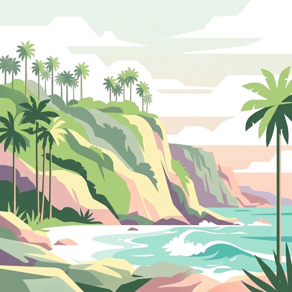
A stylized vector illustration of a tropical coral atoll coastline featuring steep cliffs, lush palm trees, and turquoise ocean waves.

A remote raised coral atoll in the South Pacific, one of the world's least disturbed island ecosystems and a UNESCO World Heritage Site.

Henderson Island

Henderson Island is an uninhabited raised coral atoll in the south Pacific Ocean, the largest of the four islands that make up the Pitcairn Island Group, a British Overseas Territory. It lies roughly 193 kilometres northeast of Pitcairn, the only inhabited island in the group, and is more than 5,000 kilometres from the nearest continental landmass. Because of its extreme isolation, poor soil, scarcity of fresh water, and rugged limestone terrain, the island has never supported sustained human settlement and retains one of the most intact island ecosystems on Earth. The island is renowned for its exceptional level of endemism relative to its small size. Ten of its 51 native flowering plants, all four of its surviving land birds, and a substantial share of its insects and land snails occur nowhere else in the world. Designated a UNESCO World Heritage Site in 1988, Henderson is now regarded alongside Aldabra in the Indian Ocean as one of the last two raised coral atolls whose ecosystems remain essentially untouched by direct human pressure. Beyond its ecological significance, Henderson Island carries a layered human history. Polynesian settlers lived on the island for centuries before abandoning it, European explorers mapped it under several names, castaways survived on its shores, and modern scientific expeditions have made it a focal point for research into marine plastic pollution reaching the most remote parts of the ocean.

Location
Pitcairn
Park type
Nature reserve
Established
1902
Area
37.3 km²
Highest point
15 m
Henderson Island Protected Area
Regional park map

See the ranked park cluster in its geographic setting

Nearby parks around Henderson Island

This regional map shows the same 20 nearby parks ranked below around Henderson Island. Select a ranked marker to highlight that park’s boundary where boundary data is available.
Reference park: Henderson IslandRanked nearby park20 nearby parks shown
20 nearby parks

Distance-ranked conservation landscapes and surrounding regional park geography

Parks and Protected Areas Geographically Near Henderson Island

Examine the ranked collection of protected areas situated near Henderson Island through precise geographic separation and directional metrics. Evaluating these surrounding environments provides structured comparison signals for island ecosystems across the broader regional maritime setting.
National parkEaster Island
About 1,916 km away#1 closest

East

Rapa Nui National Park: Easter Island's Volcanic Protected Landscape Atlas

Explore mapped park boundaries and regional geography.

Rapa Nui National Park is a critical protected landscape centered on Easter Island, offering a unique opportunity for atlas-based exploration of its volcanic terrain and geographic context. This national park's detailed mapped boundaries and its isolation within the vast Pacific region provide significant value for understanding protected areas and regional geography. Discover the structured facts and landscape identity that define Rapa Nui National Park.

Area
68 km²
Established
1935
IUCN
II
Visitors
60.9K annual
Marine protected areaAmerican Samoa
About 4,185 km away#2 closest

West

National Marine Sanctuary of American Samoa: Mapped Marine Protected Area Geography

Discover protected marine landscapes across American Samoa's region.

Investigate the National Marine Sanctuary of American Samoa, a protected marine area with distinct geographic relevance. This detailed view focuses on its mapped boundaries and its role as a protected landscape within the broader atlas of American Samoa. Understand the unique environmental context and protected-area significance that shapes this marine sanctuary.

Area
35,170 km²
Established
1986
Climate
Tropical
Access
Easy access
Marine protected areaAmerican Samoa
About 4,185 km away#3 closest

West

Rose Atoll Marine National Monument: Protected Marine Area in American Samoa

Explore mapped boundaries and regional geographic context.

Rose Atoll Marine National Monument is designated as a marine protected area within the geographic scope of American Samoa. This page offers detailed insights into its protected status, mapped terrain, and the surrounding natural landscapes. It serves as a resource for understanding the park's specific boundaries and its role as a conservation area, providing a foundation for geographic discovery.

Relief
Lowland
Scope
Marine
Water
Water-dominated
Wildlife reserveAmerican Samoa
About 4,305 km away#4 closest

West

Rose Atoll National Wildlife Refuge: Southernmost U.S. Wildlife Reserve & Mapped Coral Ecosystem

Discover unique protected landscape geography in American Samoa.

Rose Atoll National Wildlife Refuge is a remote U.S. wildlife reserve situated in American Samoa, distinguished by its unique atoll structure and the southernmost geographical coordinates within the United States. This protected area is renowned for its exceptional marine biodiversity, including extensive coral reef ecosystems, a significant seabird nesting colony, and vital sea turtle habitats. Exploring this refuge offers a window into distinct regional geography, mapped marine protected areas, and the ecological significance of isolated Pacific atolls.

Area
158.09 km²
Established
1973
IUCN
Ia
Relief
Lowland
National parkUnited States of America
About 4,444 km away#5 closest

West

National Park of American Samoa: A Mapped Protected Landscape within the USA

Discover its island geography and protected area context.

National Park of American Samoa stands as a significant protected natural area, offering unique insights into island geography and conservation landscapes. Explore its detailed mapped boundaries and understand its placement within the broader atlas of United States of America protected lands. This entity provides a focal point for understanding distinct geographic features and the territorial spread of protected natural resources.

Area
33.414 km²
Established
1988
IUCN
V
Visitors
12.1K annual
National parkSamoa
About 4,685 km away#6 closest

West

O Le Pupu-Puʿe National Park: Explore Samoa's Protected National Park Geography and Boundaries

Mapped terrain and protected landscape context for this Samoan national park.

Understand O Le Pupu-Puʿe National Park as a significant protected area within Samoa's archipelago. This detail entry provides essential geographic context, mapping its boundaries and situating it within the nation's protected lands. Explore the park's role as a national park and its contribution to the mapped natural landscape of Samoa.

Area
50.2 km²
Established
1978
IUCN
II
Relief
Mixed relief
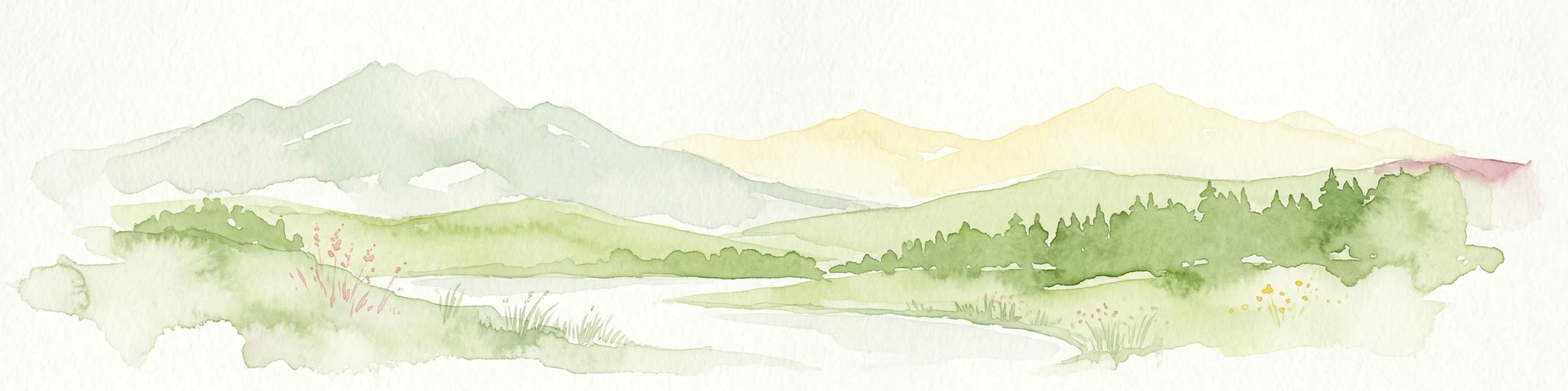
Watercolor painting depicting mountains, forests, a body of water, and distant hills
National parkValparaíso Region
About 4,698 km away#7 closest

Southeast

Archipiélago de Juan Fernández National Park: Chilean Volcanic Island Protected Landscape & Geography

Explore extreme endemism within a remote Biosphere Reserve.

Archipiélago de Juan Fernández National Park offers a rare glimpse into an isolated evolutionary laboratory, characterized by dramatic volcanic island geography and unique endemic flora and fauna. This protected national park, located in the Valparaíso Region of Chile, features steep mountainous terrain rising from the Pacific Ocean, creating a distinctive landscape context. Its status as a Biosphere Reserve highlights its global significance for conservation and provides a compelling case study for understanding island biogeography and protected-area mapping.

Area
96 km²
Established
1935
IUCN
II
Visitors
1.4K annual
National parkUpolu
About 4,701 km away#8 closest

West

Lake Lanoto'o National Park: Discover Its Protected Landscape and Geographic Setting on Upolu

Explore park boundaries and regional natural terrain.

Lake Lanoto'o National Park represents a crucial protected area on the island of Upolu, Samoa. This page provides detailed geographic information, focusing on the park's mapped boundaries and its contribution to the natural landscape of the region. Understand its role as a national park and its position within the broader atlas of protected lands, offering insight into the island's unique geography.

Area
4.7 km²
Established
2003
IUCN
II
Relief
Highland
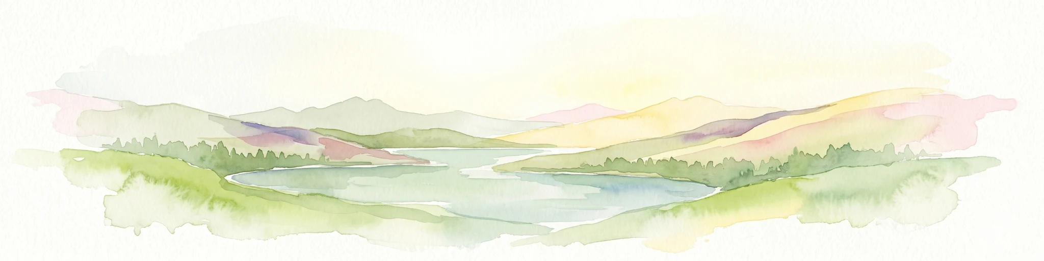
Watercolor painting showing a lake surrounded by mountains and green hills under a soft pastel sky
National parkGalápagos Islands
About 4,738 km away#9 closest

Northeast

Galápagos National Park: A Protected Volcanic Archipelago for Evolutionary Discovery

Explore unique endemic species and mapped landscapes of the Galápagos Islands.

Galápagos National Park stands as a beacon of conservation, protecting the majority of the remote Galápagos Islands archipelago. This UNESCO World Heritage Site is a pivotal location for understanding evolution, featuring dramatic volcanic terrain and an extraordinary array of endemic wildlife, including giant tortoises and marine iguanas. Users can explore the park's protected boundaries, distinct ecosystems, and its significance as a global natural laboratory, offering rich context for landscape and geographic discovery.

Area
7,995.4 km²
Established
1959
IUCN
II
Relief
Mixed relief
National parkTonga
About 4,769 km away#10 closest

West

'Eua National Park: Tonga Protected Landscape and Geographic Context

Explore mapped boundaries and unique natural terrain within Tonga.

Access detailed geographic information and mapped boundaries for 'Eua National Park, Tonga's designated national park. This resource provides an atlas-style overview of the park's protected landscape identity, focusing on its natural terrain and its specific place within the broader geography of the Kingdom of Tonga. Understand the park's conservation significance through its landscape context and mapped distribution.

A soft, pastel watercolor painting of a coastal scene with a distant island, grassy slopes, and a calm sea.
Nature reserveChatham Islands
About 4,841 km away#11 closest

Southwest

Rangatira Island Nature Reserve: Geography and Protected Area Context

Remote island sanctuary in the Chatham Islands archipelago

Rangatira Island is a protected nature reserve located in the remote Chatham Islands of New Zealand. Defined by its rugged coastal cliffs, maritime shrublands, and role as a stronghold for endemic species, this island offers a window into isolated Pacific island ecology and protected land boundaries.

Area
2.18 km²
Access
Highly restricted
Scope
Mixed
Water
Water-dominated
Nature reserveChatham Islands
About 4,848 km away#12 closest

Southwest

Mangere Island Nature Reserve: A Volcanic Landscape in the Chatham Islands

Exploration of remote volcanic terrain and protected island habitats

Situated in the remote Chatham Islands, Mangere Island is a protected nature reserve formed from the eroded remnants of a Pliocene volcano. This small, steep-sided island serves as a landmark for New Zealand conservation efforts, providing a vital refuge for endemic bird populations. Its geography is characterized by rugged coastlines and recovering vegetation, reflecting a significant history of restoration within the Southern Pacific environment.

Area
1.13 km²
Established
1966
Relief
Mountain
Scope
Terrestrial
Watercolor illustration of a lush, coastal island landscape featuring rolling green hills, scattered trees, and distant low mountains against a pale, open sky.
Nature reserveNew Zealand
About 4,924 km away#13 closest

West

Kermadec Islands Nature Reserve: Mapping the Volcanic Terrain and Subtropical Ecosystems

A remote New Zealand volcanic arc and marine protected area.

The Kermadec Islands comprise an isolated chain of volcanic landforms stretching along a submarine ridge in the South Pacific. This nature reserve protects unique subtropical moist forests, diverse seabird colonies, and complex hydrothermal vent communities, serving as a critical area for ongoing ecological restoration and marine science.

Area
33.6 km²
Established
1937
Relief
Mountain
Climate
Subtropical
A soft watercolor illustration of a coastal landscape with green hills, rocky outcrops, and a serene bay.
Marine protected areaNew Zealand
About 5,250 km away#14 closest

Southwest

Moutere Hauriri / Bounty Islands Marine Reserve: Mapped Protected Landscapes in New Zealand

Subantarctic marine reserve and granite island ecosystem.

Moutere Hauriri / Bounty Islands Marine Reserve represents a critical marine protected area located 700 kilometers from the South Island. Defined by its barren granite islets and transparent waters, the reserve serves as a sanctuary for diverse seabirds and large marine colonies. This atlas entry provides essential geographic context regarding the reserve boundaries and the stark, sculptural terrain of this remote oceanic site.

Area
1,046.26 km²
Established
2014
Scope
Marine
Water
Water-dominated
National parkAysén del General Carlos Ibáñez del Campo Region
About 5,252 km away#15 closest

Southeast

Laguna San Rafael National Park: Explore its Mapped Boundaries and Patagonian Landscape

A National Park within Aysén del General Carlos Ibáñez del Campo Region.

Laguna San Rafael National Park stands as a key protected area within the vast geography of the Aysén del General Carlos Ibáñez del Campo Region. This entry provides an atlas-focused perspective, detailing the park's geographic significance, mapped natural landscapes, and its role as a vital conservation territory. Understand how this national park fits into the broader context of Patagonia's unique terrain and protected areas.

Area
17,420 km²
Established
1959
IUCN
II
Relief
Mountain
National parkChile
About 5,272 km away#16 closest

Southeast

Isla Guamblin National Park: A Protected Landscape Within Chile's Geography

Explore the mapped terrain and boundaries of this national park.

Isla Guamblin National Park provides essential context for understanding protected lands in Chile. This detail page offers a focused view on its geographic features and mapped natural landscape, crucial for atlas-based exploration and regional conservation studies. Discover the specific identity of this national park and its contribution to the mapped protected areas of South America.

Area
106.25 km²
Established
1967
Relief
Lowland
Climate
Temperate
National parkAysén del General Carlos Ibáñez del Campo Region
About 5,293 km away#17 closest

Southeast

Bernardo O'Higgins National Park: Southern Patagonian Ice Field & Glacial Terrain

Chile's largest protected area: a map of vast ice caps and fjords.

Bernardo O'Higgins National Park is a colossal protected landscape in Chile, safeguarding much of the Southern Patagonian Ice Field and its colossal glacial features like the Pío XI Glacier. Explore the dramatic terrain of towering granite peaks and intricate fjord systems that define this remote national park. This page provides essential context for understanding its geography, mapped boundaries, and significance as a vast wilderness preservation.

Area
35,259 km²
Established
1969
IUCN
II
Visitors
36K annual
National parkLos Lagos Region
About 5,318 km away#18 closest

Southeast

Chiloé National Park: National Park Discovery and Mapped Boundaries in Los Lagos Region

Explore its unique protected landscape and regional geography.

Chiloé National Park represents a significant protected natural area within the Los Lagos Region of Chile. This detailed page offers an atlas-centric view, focusing on the park's mapped boundaries, its place in the regional geography, and the overall protected landscape character. Gain structured insight into this important component of southern Chile's conservation lands, ideal for geographic exploration and atlas context.

Area
430.57 km²
Established
1983
IUCN
II
Visitors
33.6K annual
National parkMagallanes and Chilean Antártica Region
About 5,343 km away#19 closest

Southeast

Kawésqar National Park: A National Park with Distinct Protected Landscape Identity

Explore the mapped geography and protected area boundaries.

Kawésqar National Park is a key national park entity situated within the Magallanes and Chilean Antártica Region, contributing to the protected landscape of southern Chile. This atlas-focused profile details the park's geographic scope and its significance as a designated protected area. It serves as an entry point for understanding the mapped terrain and regional park context, crucial for structured geographic discovery.

Area
28,425.3 km²
Established
1969
IUCN
IV
Visitors
1.7K annual
Watercolor painting of Moutohora Island featuring green volcanic hills, coastal vegetation, and a soft pink water surface.
Wildlife reserveBay of Plenty
About 5,349 km away#20 closest

Southwest

Moutohora Island Wildlife Reserve: Volcanic Geography and Coastal Protected Area

Exploration of a restored island sanctuary in the Bay of Plenty

Moutohora Island is a protected wildlife refuge defined by its volcanic heritage and active geothermal features. The landscape comprises twin peaks, valleys, and coastal cliffs that provide a secure habitat for breeding seabirds and native forest restoration efforts. This island offers a distinct look at maritime conservation and geological remnants within the broader Bay of Plenty regional geography.

Area
1.43 km²
Established
1965
Relief
Upland
Access
Highly restricted
Distance methodology

Geographic measurements, not driving distances

How nearby park distances are calculated

Distances use park boundaries whenever the available geometry allows it. When one or both boundaries are missing, the mapped park locations provide a clearly labelled estimate. Every value represents straight-line geographic separation and does not use roads or routing.

Boundary distance

Calculated between the nearest points of both park boundaries.

Location-to-boundary estimate

Estimated from one mapped park location to the nearest boundary of the other park.

Mapped-location estimate

Estimated between the mapped locations of both parks.

MoriAtlas Explorer

Explore the Geography and Protected Status of Henderson Island

Trace the boundaries and unique limestone terrain of Henderson Island through detailed geographic mapping. Access this MoriAtlas profile to understand the ecological importance of this raised coral atoll and its context within the wider Pitcairn Islands oceanic region.

Global natural geography