Mori Atlas logo
Nearby park discovery

Regional mapped boundaries and surrounding natural wilderness areas in Tanzania

Parks near Mikumi National Park

Compare protected areas near Mikumi National Park, ordered by geographic distance. They include Nyerere and Udzungwa.

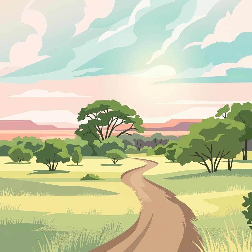
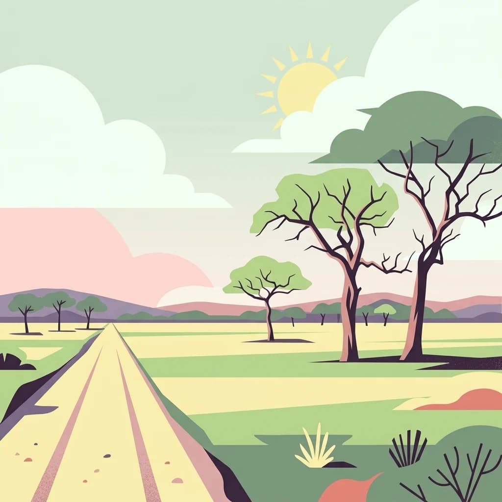
Illustration of a dirt road leading through a savannah landscape with scattered acacia trees, green fields, distant hills, and a sun in the sky

Tanzania's fourth-largest park bordering the Selous ecosystem

Mikumi National Park

Mikumi National Park is a vast protected area in southeastern Tanzania, established in 1964 as the country's fourth-largest national park. The park spans approximately 3,230 square kilometers near the city of Morogoro, situated between the Uluguru Mountains to the northeast and the Udzungwa Mountains to the west. It shares an unbroken boundary with the renowned Selous Game Reserve to the south, creating one of Tanzania's most significant transboundary conservation ecosystems. The landscape is characterized by extensive savannah plains, notably the alluvial basin of the Mkata River, dotted with iconic acacia trees, ancient baobabs, and tamarind groves. The park's geography includes Malundwe Mountain, a prominent ridge of three peaks reaching 1,290 meters at its southern apex, making it the highest point within the park. This combination of rolling grasslands, woodland habitats, and mountain fringes supports remarkable biodiversity and has earned Mikumi comparisons to the famous Serengeti ecosystem.

Location
Tanzania
Park type
National park
Established
1964
Area
3,230 km²
Highest point
1,290 m
Mikumi National Park Protected Area
Regional park map

See the ranked park cluster in its geographic setting

Nearby parks around Mikumi National Park

This regional map shows the same 20 nearby parks ranked below around Mikumi National Park. Select a ranked marker to highlight that park’s boundary where boundary data is available.
Reference park: Mikumi National ParkRanked nearby park20 nearby parks shown
20 nearby parks

Distance-ranked collection and regional park geography for comparative analysis

Parks and Protected Areas Geographically Near Mikumi National Park

Examine the geographic separation and directional distribution of protected areas positioned near Mikumi National Park across regional terrain. Structured environmental metrics and country context provide comparative signals for exploring surrounding conservation landscapes.
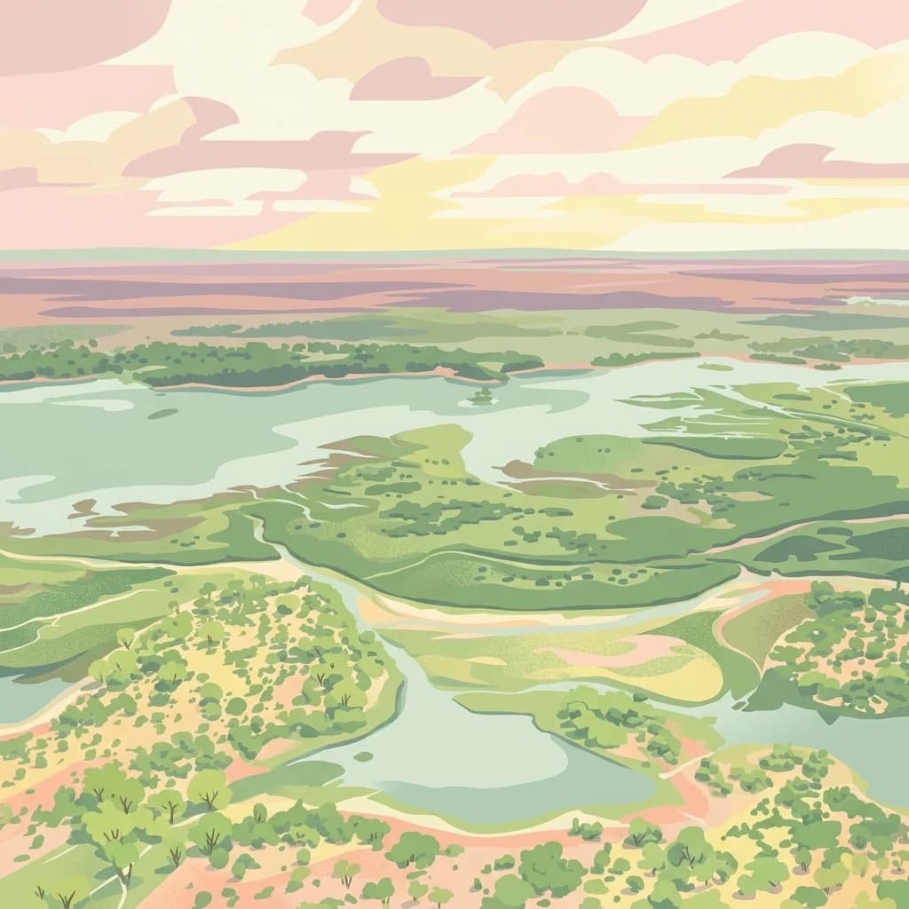
A stylized digital illustration showing an aerial view of a wide, winding river system with surrounding grasslands and trees under a soft, pastel-colored sky.
National parkTanzania
About 62 km away#1 closest

South

Nyerere National Park: Tanzania's Immense Protected Area and Rufiji River Landscape

Explore the savanna and river delta geography of this national park.

Nyerere National Park represents one of Tanzania's most significant protected areas, sprawling across southeastern regions and offering a glimpse into largely untouched wilderness. The park's identity is deeply intertwined with the Rufiji River and its expansive delta, home to one of the world's largest mangrove forest systems. As a national park, its vastness and diverse terrain provide critical habitat, making it a key point for understanding protected land distribution and regional landscape context within Tanzania.

Area
30,893 km²
Established
2019
IUCN
II
Relief
Mixed relief
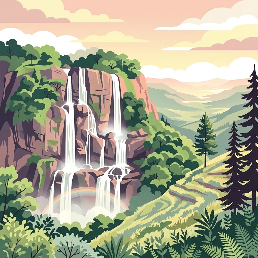
A stylized, flat-design illustration showing a multi-tiered waterfall cascading down a rocky, forested cliff at sunset, with a small rainbow at the base and terraced hills in the background.
National parkKilolo District
About 83 km away#2 closest

Southwest

Udzungwa Mountains National Park: Kilolo District Protected Area & Landscape Atlas

Explore mapped boundaries and regional geography for this Tanzanian national park.

Udzungwa Mountains National Park serves as a vital protected area within Kilolo District, offering a specific point of geographic focus for atlas exploration. Users can investigate its mapped boundaries and understand its role within the regional landscape context. This detailed entry provides essential data for comprehending the park's protected status and its contribution to Tanzania's network of natural areas.

Area
1,990 km²
Established
2012
IUCN
II
Relief
Mountain
National parkTanzania
About 191 km away#3 closest

West

Ruaha National Park: Tanzania National Park, Protected Landscape and Geographic Atlas

Mapped boundaries and regional landscape context for Ruaha National Park.

Explore the protected landscape of Ruaha National Park in Tanzania. This page provides detailed mapping of its boundaries and offers insights into its geographic setting. Understand its significance as a national park within the atlas of protected areas, focusing on its natural terrain and regional context without travel logistics.

Area
20,226 km²
Established
1964
IUCN
II
Visitors
21.3K annual
An illustration of a curving dirt road leading through a grassy African savanna with scattered trees under a soft, light-filled sky.
National parkTanga Region
About 223 km away#4 closest

Northeast

Saadani National Park: Protected Landscape and Geographic Context in Tanga Region

Explore the mapped boundaries and regional geography of this Tanzanian national park.

Saadani National Park represents a distinct protected landscape within the northern Tanzanian coast, specifically situated in the Tanga Region. This entry offers a focused exploration of the park's geographic features, its mapped protected area boundaries, and its intrinsic connection to the regional natural terrain. Delve into the atlas-level details that define Saadani National Park, providing crucial context for understanding its ecological and geographic significance.

Area
1,062 km²
Established
2005
IUCN
II
Visitors
15.4K annual
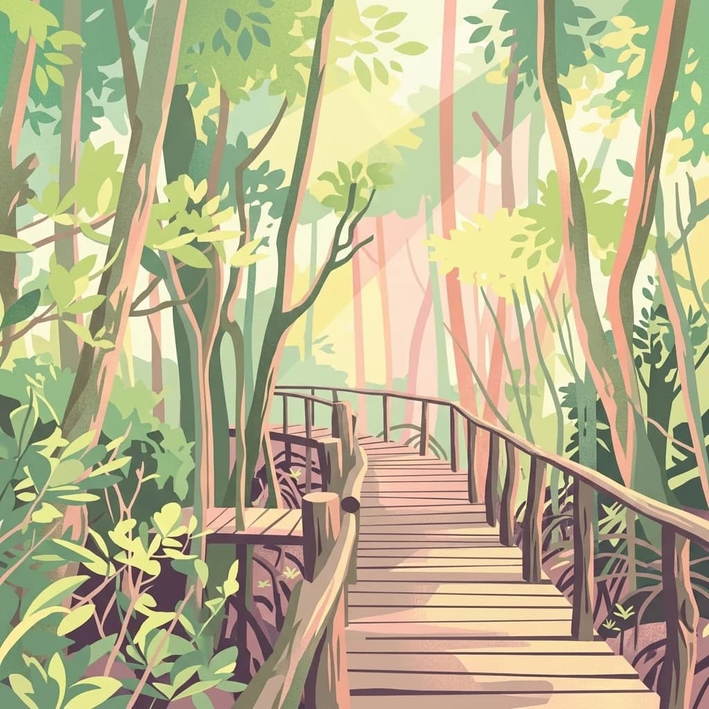
A stylized illustration of a wooden boardwalk path surrounded by dense forest trees and vegetation with sunlight filtering through the canopy.
National parkSouth Zanzibar Region
About 273 km away#5 closest

East

Jozani Chwaka Bay National Park: A Protected Landscape within the South Zanzibar Region

National Park geography and mapped protected area.

Delve into Jozani Chwaka Bay National Park, a key protected area situated in Tanzania's South Zanzibar Region. This canonical page offers a structured view of the park's geography, its mapped boundaries, and its role as a national park. Understand its landscape context and its significance for detailed geographic discovery and atlas-based exploration.

Area
50 km²
Established
2004
IUCN
II
Climate
Tropical
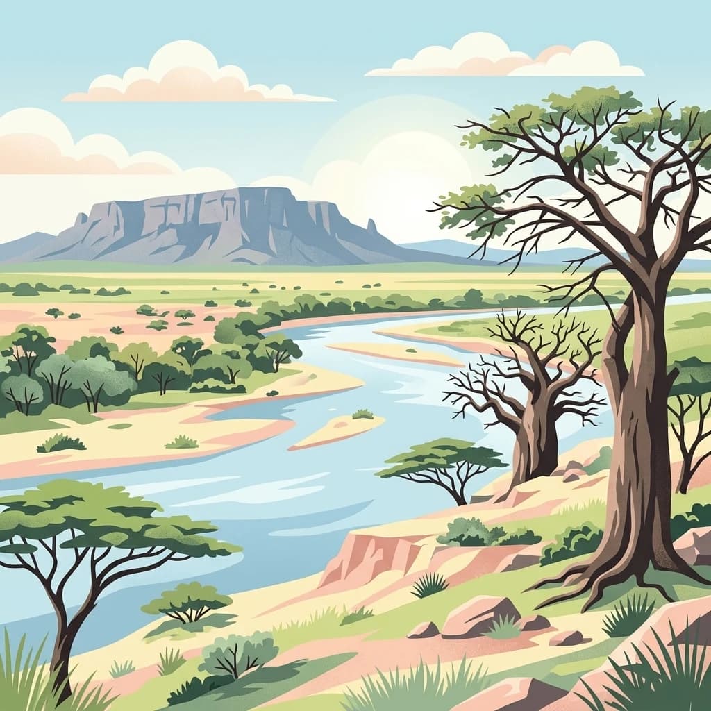
A stylized digital illustration of a savanna landscape at sunset with baobab trees, acacia trees, a winding river, and small elephants.
National parkManyara Region
About 307 km away#6 closest

North

Tarangire National Park: A Detailed Look at its Mapped Boundaries and Protected Landscape

National park geography in Manyara Region, Tanzania

Tarangire National Park stands as a core protected area within Tanzania's Manyara Region, offering a deep dive into its specific geographic attributes and mapped boundaries. This page provides essential atlas context for understanding the park's landscape character and its placement within the regional geography. Focus on the park's protected status and its unique natural terrain, providing a factual basis for geographic discovery and research.

Area
2,850 km²
Established
1970
IUCN
II
Visitors
161.8K annual
A stylized flat vector illustration of a river flowing through a forested landscape with a soft, warm-toned horizon.
National parkTanzania
About 335 km away#7 closest

Northeast

Mkomazi National Park

Explore its mapped terrain and conservation significance within East Africa.

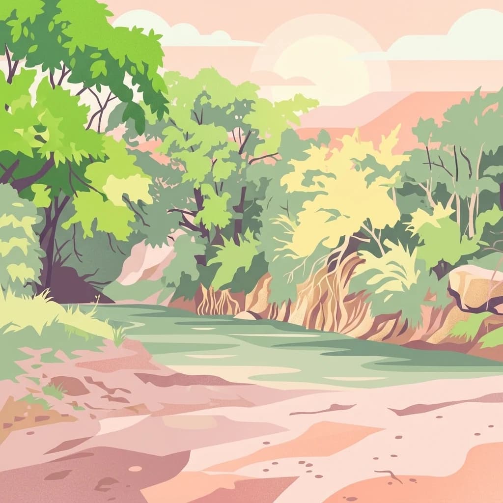
Mkomazi National Park, in Tanzania. Landscapes: forests, woodlands, and grasslands.

Area
3,234 km²
Established
2006
IUCN
II
Visitors
1.6K annual
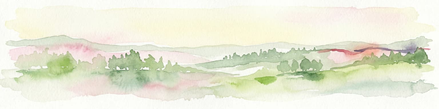
Watercolor illustration of a hilly landscape with green and pink hues, showing trees, distant hills, and a light sky
National parkKenya
About 364 km away#8 closest

Northeast

Kisite-Mpunguti Marine National Park: Kenya's Coastal Protected Marine Landscape

Mapped coral reefs and diverse marine ecosystems.

As Kenya's foremost marine national park, Kisite-Mpunguti Marine National Park presents an unparalleled opportunity to explore a thriving underwater world. Its protected boundaries encompass remarkable coral formations and a rich tapestry of marine species, including diverse fish populations, sea turtles, and dolphins. This park is a cornerstone of coastal conservation, offering valuable insights into marine geography and ecosystem health for those seeking detailed landscape context.

Area
39 km²
Established
1973
IUCN
II
Relief
Lowland
A digital illustration of a savanna landscape with a winding dirt path, scattered acacia trees, and a mountain range under a pastel pink sky.
National parkTaita-Taveta County
About 368 km away#9 closest

North

Tsavo West National Park: Kenya's Protected National Park and Regional Geography

Explore mapped boundaries and natural landscapes in Taita-Taveta County.

Tsavo West National Park offers a focused exploration of protected landscape and regional geography within Kenya. Discover the mapped extent of this national park, understanding its role as a conservation area in Taita-Taveta County. This entry provides key geographic context and atlas-style information, highlighting the natural terrain and protected boundaries for detailed discovery.

Area
9,065 km²
Established
1948
IUCN
II
Relief
Mixed relief
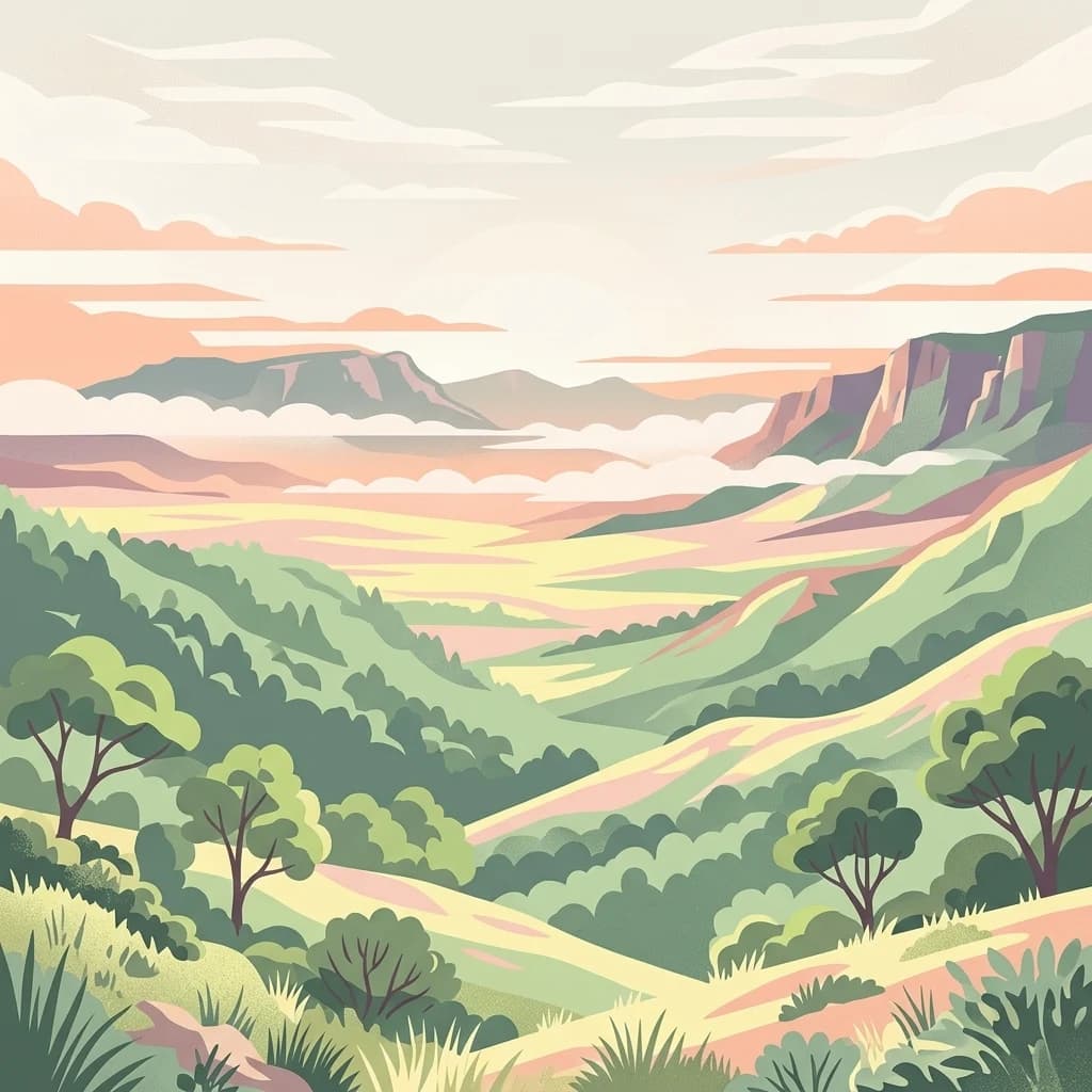
A stylized digital illustration of a mountainous plateau landscape with rolling green hills, scattered trees, and distant ridgelines under a soft sunset sky.
National parkNjombe Region
About 411 km away#10 closest

Southwest

Kitulo National Park: National Park within Njombe Region's Geographic Atlas

Mapped protected area boundaries and regional landscape context.

Kitulo National Park represents a distinct national park within the geographic atlas of Tanzania's Njombe Region. This page offers a focused exploration of its protected landscape identity, highlighting its mapped boundaries and contributing to a broader understanding of regional geography. It is designed for users seeking detailed, atlas-centric information about Kitulo National Park's specific natural landscape and its position within the surrounding terrain.

Area
413 km²
Established
2005
IUCN
II
Visitors
409 annual
A digital illustration of Lake Manyara National Park showing a lush savanna with acacia trees, a prominent cliffside of the Great Rift Valley, and a large lake under a soft, pastel-colored sky.
National parkArusha Region
About 428 km away#11 closest

North

Lake Manyara National Park

Unique habitats from groundwater forests to alkaline lake shores.

Lake Manyara National Park, in Arusha Region, Tanzania. Landscapes: lakes, wetlands, and forests.

Area
648 km²
Established
1960
IUCN
II
Visitors
178.5K annual
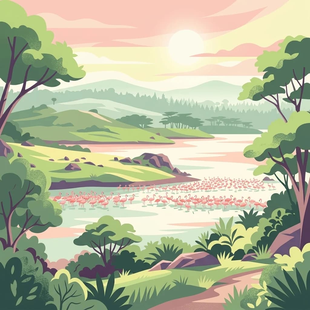
A stylized digital illustration of a serene landscape featuring a group of pink flamingos wading in a lake surrounded by green rolling hills and trees under a soft, golden sunrise sky.
National parkArusha Region
About 430 km away#12 closest

North

Arusha National Park

Explore its mapped boundaries and regional geography.

Arusha National Park, in Arusha Region, Tanzania. Landscapes: mountains, valleys, and cliffs.

Area
137 km²
Established
1960
IUCN
II
Visitors
66.8K annual
National parkKenya
About 439 km away#13 closest

North

Tsavo East National Park: Kenya's Protected Natural Landscape for Geographic Exploration

Explore mapped boundaries and regional park geography.

Tsavo East National Park in Kenya offers a rich entry point for understanding protected landscapes and regional geography. As a designated national park, its mapped boundaries and natural terrain provide essential context for geographic exploration within East Africa. This page serves as a focused discovery point for the park's specific environmental attributes and its role in the broader atlas of protected areas.

Area
13,747 km²
Established
1948
IUCN
II
Relief
Lowland
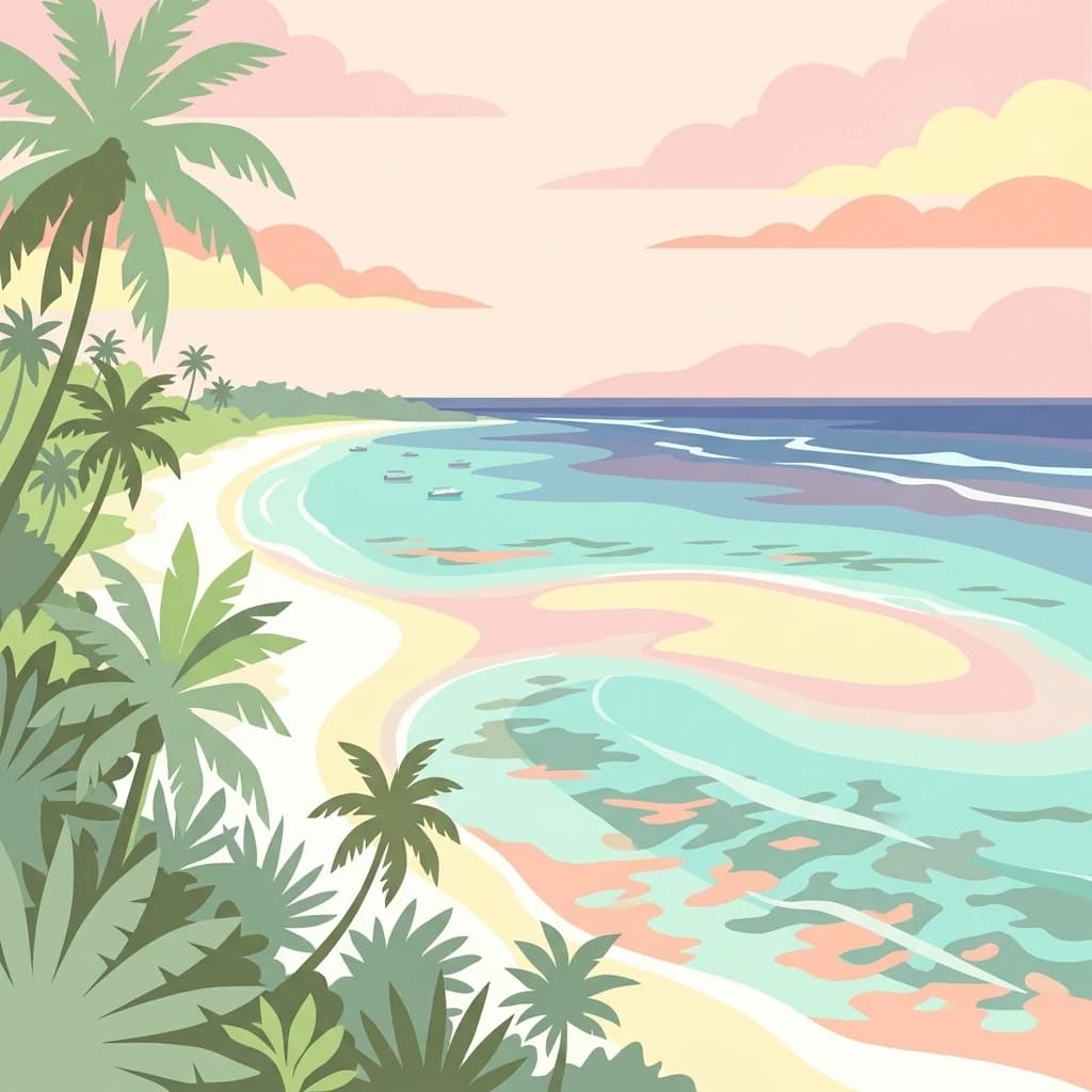
A stylized, flat-design illustration showing a tropical beach with palm trees along the shoreline and calm turquoise ocean water under a sunset sky.
National parkKenya
About 454 km away#14 closest

Northeast

Mombasa Marine Park National Park: Kenya's Coastal Protected Landscape

Mapped protected area within the East African regional geography.

This detail page offers an in-depth look at Mombasa Marine Park, a designated national park in Kenya. It focuses on its protected landscape identity, mapped boundaries, and its place within the regional geography of East Africa. Users seeking structured atlas information and context for protected natural areas will find detailed geographic data here.

Watercolor illustration showing a lake surrounded by grassy areas with trees and mountains in the background
Nature reserveMozambique
About 458 km away#15 closest

South

Niassa Reserve Nature Reserve: Mozambique's Expansive Protected Wilderness

Mapping the vast miombo woodlands and endemic species.

Niassa Reserve, a sprawling nature reserve in northern Mozambique, represents one of the largest miombo woodland ecosystems on Earth. Its diverse terrain encompasses dense forests, open savannahs, and riparian zones, making it a vital habitat for unique wildlife and a significant landmark in regional geography. The reserve's protected status and immense scale offer unparalleled opportunities for atlas-style exploration of its landscape and conservation importance.

Area
42,000 km²
Established
1954
IUCN
IV
Relief
Mixed relief
A digital illustration of a landscape with a stream flowing over rocks in the foreground, savanna trees in the midground, and a large, snow-capped mountain under a soft-toned sky in the background.
National parkKilimanjaro Region
About 458 km away#16 closest

North

Kilimanjaro National Park

Explore its mapped boundaries and regional context.

Kilimanjaro National Park, in Kilimanjaro Region, Tanzania. Landscapes: mountains and forests.

Area
1,688 km²
Established
1973
IUCN
II
Visitors
52K annual
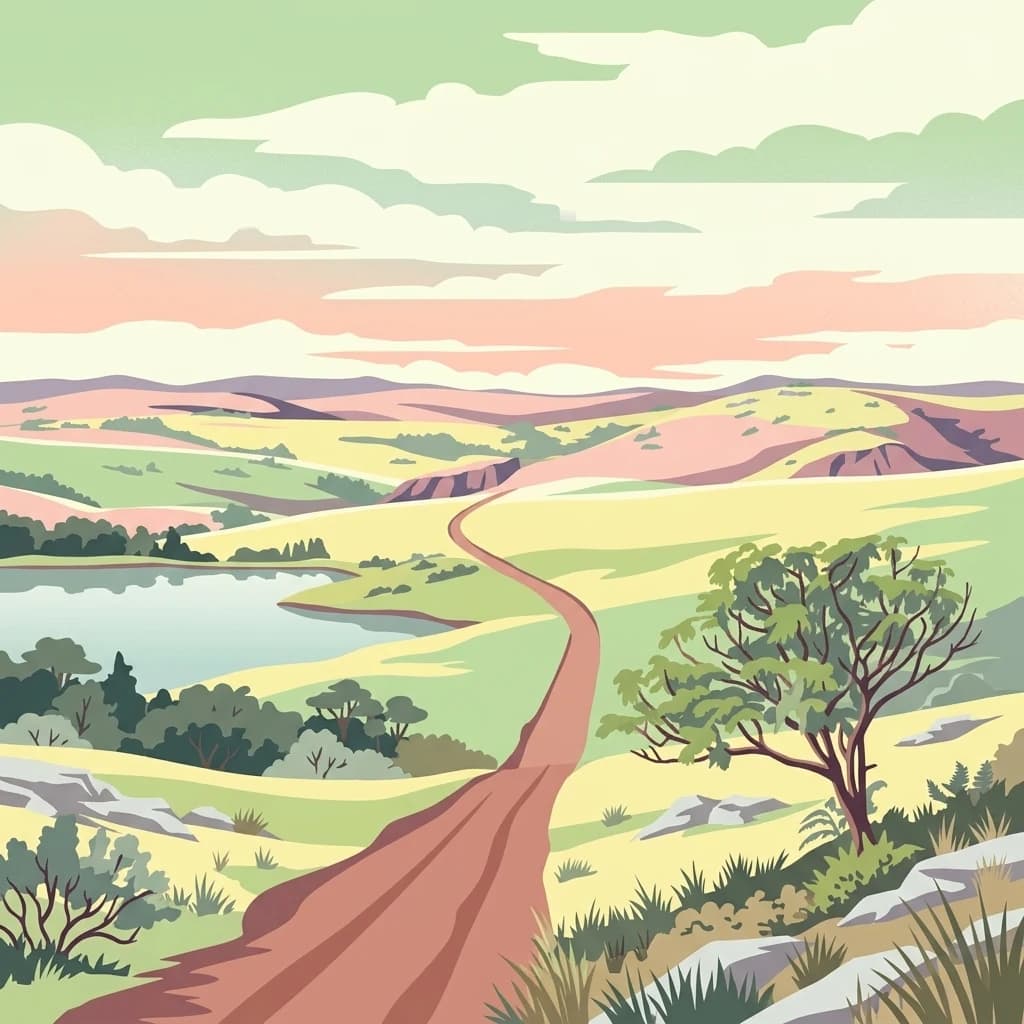
A digital illustration showing a dirt road winding through a hilly, grassy plateau landscape, with a small lake to the left, scattered trees, and soft-colored clouds in the sky.
National parkMalawi
About 485 km away#17 closest

Southwest

Nyika National Park: Malawi National Park Atlas Exploration and Protected Landscape

Discover geographic context and mapped boundaries of this protected area.

Nyika National Park serves as a core entry for understanding Malawi's protected areas and natural landscapes through an atlas lens. Explore the park's designation as a national park, its geographic positioning within Malawi, and the mapped context that defines its protected status. This detail page provides a foundational view for appreciating the park's landscape and its contribution to the regional protected lands overview.

Area
3,134 km²
Established
1966
IUCN
II
Relief
Highland
A flat-style digital illustration of an African savanna landscape with a dirt path winding through grassy plains, scattered acacia-like trees, and mesa-style hills under a pink and soft yellow sunrise.
National parkMara Region
About 502 km away#18 closest

Northwest

Serengeti National Park: National Park Atlas and Protected Landscape Discovery

Explore savanna grasslands, regional geography, and mapped park boundaries.

Serengeti National Park, a significant national park within Tanzania's Mara Region, offers an unparalleled view into a vast protected landscape. This page provides access to the park's geographic identity, its defining savanna ecosystem, and its role as a critical component of the regional atlas. Understand the mapped extent of its protected boundaries and the unique natural context that supports its renowned wildlife.

Area
14,763 km²
Established
1940
IUCN
II
Visitors
350K annual
A digital illustration of a savanna with two large acacia trees framing a winding river that flows through a grassy plain toward distant low mountains under a soft sunset sky.
National parkKenya
About 504 km away#19 closest

North

Amboseli National Park

Mapped geographic context and protected area boundaries.

Amboseli National Park, in Kenya. Landscapes: wetlands, lakes, and grasslands.

Area
392 km²
Established
1974
IUCN
II
Visitors
120K annual
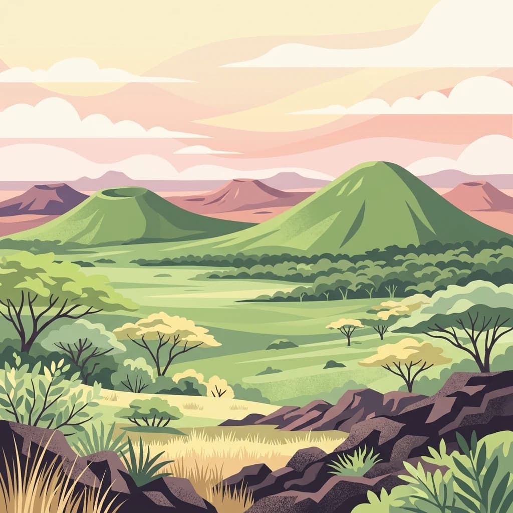
A digital illustration showing a volcanic landscape with green, cone-shaped hills under a soft pastel sky, with savanna plains and scattered acacia-like trees in the foreground.
National parkKenya
About 515 km away#20 closest

North

Chyulu Hills National Park: A Protected Landscape in Kenya's Geography

Explore its mapped boundaries and regional park context.

Delve into the protected lands of Chyulu Hills National Park, a key national park situated within Kenya's expansive geographic tapestry. This resource provides detailed insights into the park's mapped boundaries, its specific terrain characteristics, and its overall contribution to the regional atlas. Understand its role as a protected area contributing to the diverse natural landscapes of East Africa.

Relief
Mountain
Access
Access unknown
Scope
Terrestrial
Distance methodology

Geographic measurements, not driving distances

How nearby park distances are calculated

Distances use park boundaries whenever the available geometry allows it. When one or both boundaries are missing, the mapped park locations provide a clearly labelled estimate. Every value represents straight-line geographic separation and does not use roads or routing.

Boundary distance

Calculated between the nearest points of both park boundaries.

Location-to-boundary estimate

Estimated from one mapped park location to the nearest boundary of the other park.

Mapped-location estimate

Estimated between the mapped locations of both parks.

MoriAtlas Explorer

Mikumi National Park

Explore the map, landscapes, and protection details for Mikumi National Park.

Global natural geography