Mori Atlas logo
Nearby park discovery

Regional mapping and geographic distribution of nearby protected landscapes

Protected Areas and Parks Near Tutuaca Flora and Fauna Protection Area in Chihuahua

Identify protected areas situated in the vicinity of Tutuaca Flora and Fauna Protection Area within the Sierra Madre Occidental. Explore the spatial distribution of nearby reserves and their geographic relationships across the mountainous landscape of Chihuahua. This overview provides a focused look at how protected land corridors and forest zones align within the broader regional topography.

Related tags

Sierra Madre Occidentalpine-oak forestsmountain forestsflora and fauna protection areaIUCN Category VI

A large Sierra Madre Occidental reserve protecting pine-oak forests across the Chihuahua-Sonora borderlands.

Tutuaca Flora and Fauna Protection Area

Tutuaca Flora and Fauna Protection Area is a large protected natural area spanning the border region between Chihuahua and Sonora in northwestern Mexico. It lies within the Sierra Madre Occidental, the great mountain spine that runs along Mexico's northwestern interior, and preserves a substantial section of the Sierra Madre Occidental pine-oak forests that characterize these elevations. The reserve covers roughly 4,370 square kilometers, making it one of the more expansive flora and fauna protection areas in the Sierra Madre region. To the southeast it adjoins the Papigochic Flora and Fauna Protection Area, forming part of a broader network of complementary reserves that together safeguard long stretches of the same mountain ecosystem. Tutuaca was designated in 2001 and is administered by Mexico's National Commission of Natural Protected Areas. The protected area is classified under IUCN Category VI, recognizing its role in balancing ecosystem conservation with the sustainable use of natural resources by communities living within or near its boundaries. Its purpose is to maintain forest cover, safeguard habitat connectivity across the Sierra Madre, and protect the rich plant and animal diversity of the region.

Location
Mexico
Park type
Wildlife reserve
Established
2001
Area
4,369.9 km²
Tutuaca Flora and Fauna Protection Area Map
Regional park map

See the ranked park cluster in its geographic setting

Nearby parks around Tutuaca Flora and Fauna Protection Area

This regional map shows the same 20 nearby parks ranked below around Tutuaca Flora and Fauna Protection Area. Select a ranked marker to highlight that park’s boundary where boundary data is available.
Reference park: Tutuaca Flora and Fauna Protection AreaRanked nearby park20 nearby parks shown
20 nearby parks

Distance-ranked protected landscapes and regional geography surrounding Tutuaca

Parks and Protected Areas Geographically Near Tutuaca Flora and Fauna Protection Area

Browse a distance-ranked collection of nearby protected areas sharing geographic proximity with Tutuaca Flora and Fauna Protection Area. Compare surrounding landscapes and regional conservation contexts through structured spatial metrics.
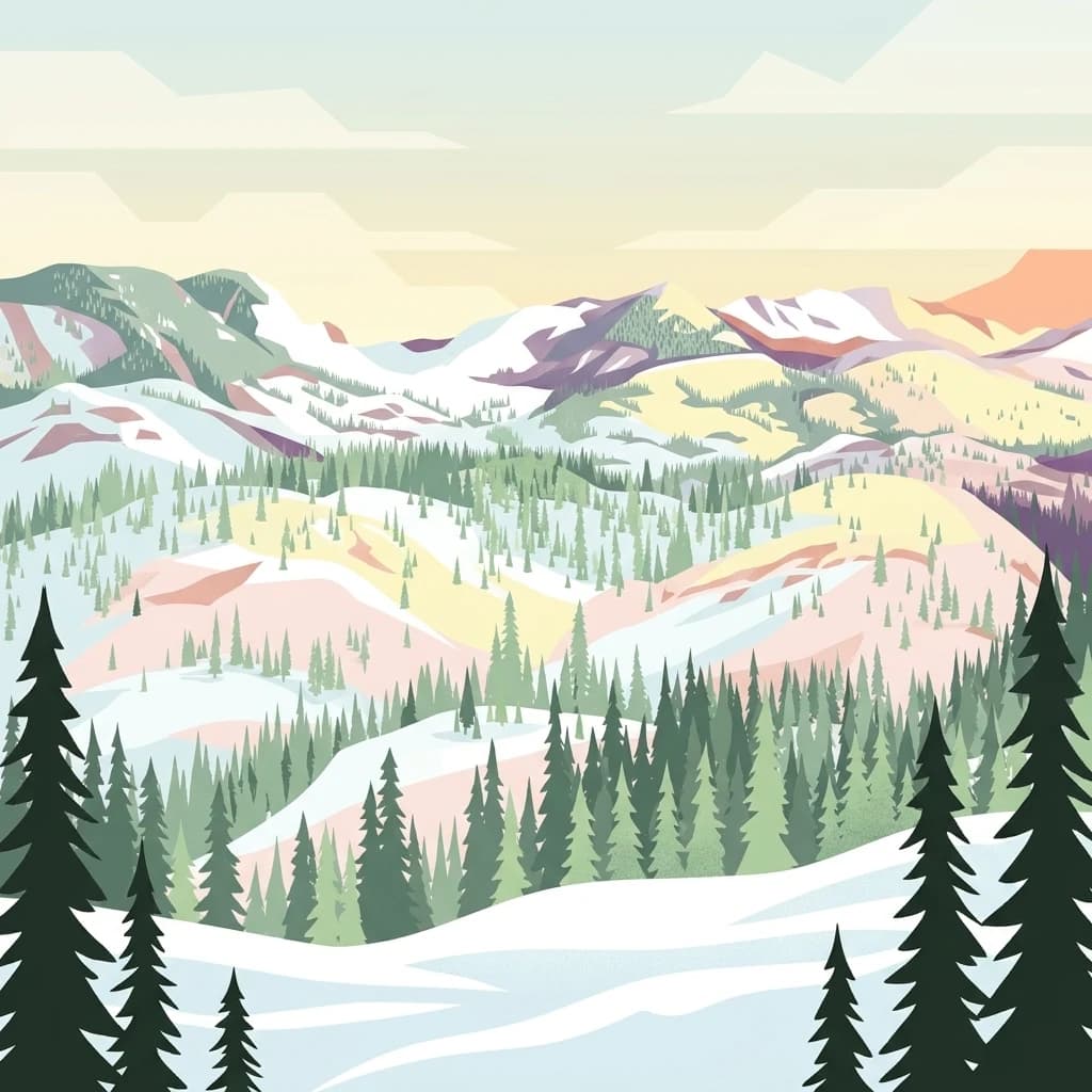
An illustration showing a wide view of snow-covered mountains, evergreen forests, and gently rolling hills under a soft light.
National parkOcampo Municipality
About 39 km away#1 closest

South

Basaseachic Falls National Park: National Park Geography and Mapped Boundaries

Explore protected lands within Ocampo Municipality.

Basaseachic Falls National Park serves as a key protected area within Ocampo Municipality, Mexico. This page provides detailed geographic information and mapped boundaries, essential for understanding its landscape context and its significance as a national park. Dive into the atlas-style data to appreciate the park's protected terrain and its contribution to the regional geography, offering a factual discovery experience.

Area
58.03 km²
Established
1981
IUCN
II
Relief
Mountain
Wildlife reserveChihuahua
About 54 km away#2 closest

Southeast

Papigochic Flora and Fauna Protection Area: Sierra Madre Occidental Forest Geography

An expansive mountain wildlife reserve in Chihuahua, Mexico.

Spanning over 2,200 square kilometers, this reserve preserves vital pine and oak forest ecosystems in the Sierra Tarahumara. The area is defined by its deep canyons, high-elevation forested ridgelines, and important role in safeguarding temperate montane habitats within northwestern Mexico.

Area
2,227.64 km²
Established
2003
IUCN
VI
Relief
Mountain
Nature reserveSonora
About 141 km away#3 closest

Northwest

Northern Jaguar Reserve: Geography and Protected Landscape Atlas of Sonora

Foothill bushland between the Aros and Bavispe River valleys

Northern Jaguar Reserve represents a key protected block of dry tropical bushland in the Sierra Madre foothills of Sonora. This map-focused profile examines the topography, drainage systems, and structural habitat corridors that support one of the northernmost wild jaguar populations within a transition zone of mountain slopes and river-fed canyons.

Area
222 km²
Relief
Mountain
Climate
Subtropical
Access
Remote access
Wildlife reserveChihuahua
About 162 km away#4 closest

North

Campo Verde Flora and Fauna Protection Area: Atlas and Landscape Discovery in Chihuahua

A significant wildlife reserve in the Sierra Madre Occidental

Spanning the transition from high montane forests to semi arid desert, Campo Verde Flora and Fauna Protection Area represents a core component of Mexico's northern conservation network. Documented for its endemic flora and fauna, this wildlife reserve provides a rare look at the ecological mosaic of the Sierra Madre Occidental region.

Area
1,080.67 km²
Established
1938
IUCN
VI
Relief
Mountain
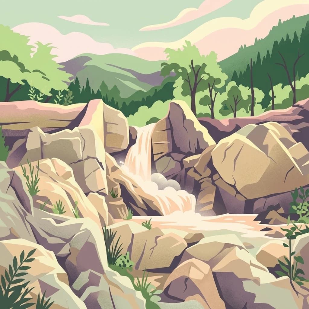
A digital illustration of a cascading waterfall flowing over large rock formations into a stream, surrounded by lush green trees and hills under a soft sky.
Protected areaSonora
About 165 km away#5 closest

South

Área de protección de flora y fauna Sierra de Álamos-Río Cuchujaqui: Geography and Park Boundaries

Detailed atlas view of the Sonora biodiversity enclave and canyon systems.

Spanning over 92,000 hectares in Sonora, this protected area is defined by its dramatic transition from coastal plains to the Sierra Madre range. The geography centers on the deep, moisture-trapping barrancas of the Cuchujaqui River, which sustain a rare mixture of Neotropical and temperate species. Examine the structural complexity of these forested slopes and river-carved valleys that function as a essential habitat for large predators and diverse flora alike.

Area
928.9 km²
Established
1996
A stylized digital illustration of a mountain valley landscape featuring prominent rocky boulders in the foreground, pine trees on the hillsides, and distant cliffs under a pale sky.
National parkChihuahua
About 176 km away#6 closest

East

Cumbres de Majalca National Park: National Park Discovery and Geographic Context in Chihuahua

Mapped protected landscape exploration in Chihuahua.

Delve into the protected landscape of Cumbres de Majalca National Park, a national park situated in the Chihuahua region of Mexico. This entry provides essential geographic context and details on its mapped boundaries, serving as a key point for atlas-based exploration of Mexico's protected areas. Understand its specific contribution to the regional geography and conservation landscape.

Area
47.72 km²
Established
1939
IUCN
II
Relief
Mountain
Wildlife reserveSonora
About 274 km away#7 closest

Northwest

Bavispe Flora and Fauna Protection Area: Sierra Madre Occidental Mountain Geography

Mapped protected forest tracts across Sonora ranges

Spanning five distinct mountain tracts in Sonora, this wildlife reserve preserves rare pine-oak forest communities within the Sierra Madre Occidental. Learn how these ridges and basins act as a vital hydrological anchor for the Yaqui River and provide critical corridors for wildlife through the diverse, transition-heavy terrain of northern Mexico.

Area
2,009 km²
Established
1936
IUCN
VI
Relief
Mountain
A soft watercolor illustration of rolling green hills, distant purple mountains, and stylized trees.
Protected areaChihuahua
About 304 km away#8 closest

Southeast

Cerro Mohinora: Protected Volcanic Summit and Alpine Geography in Chihuahua

An analysis of volcanic terrain and high-elevation protected ecosystems.

Cerro Mohinora dominates the skyline as a prominent volcanic landmark within the Sierra Madre Occidental. This record details the protected area's geographic reach, examining its complex igneous history and the dramatic vertical transition from pine-covered slopes to its snowy summit, offering a clear map-oriented view of this significant Chihuahua natural landmark.

Established
2012
Relief
Mountain
Water
Minor water
Season
Seasonal
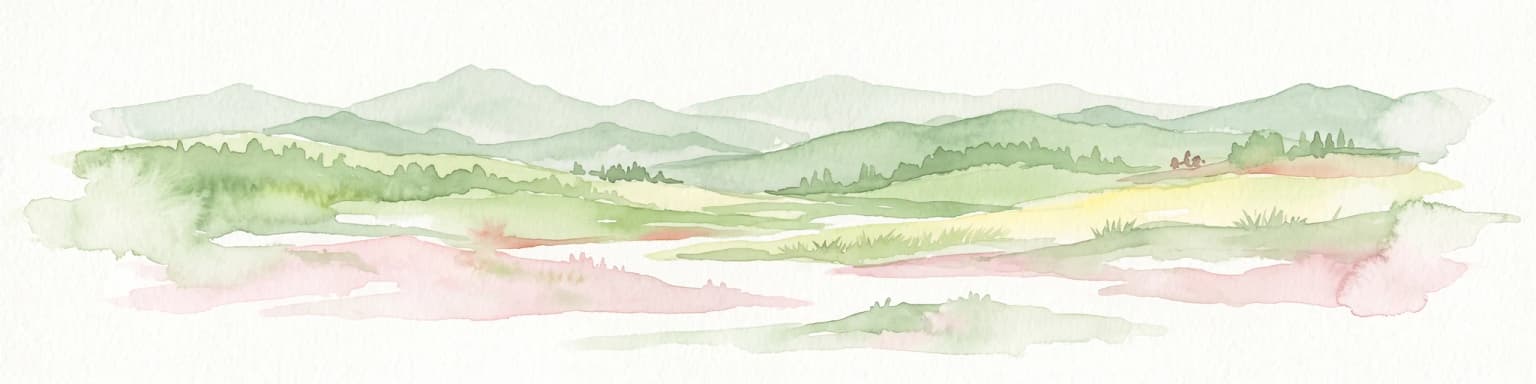
A minimalist watercolor painting showing rolling green and yellow hills against a soft, light-colored background.
Wildlife reserveChihuahua
About 322 km away#9 closest

Northeast

Médanos de Samalayuca: Protected Silica Sand Dune Landscapes in Northern Chihuahua

A dynamic desert wildlife reserve and arid natural ecosystem

Located in northern Chihuahua, Médanos de Samalayuca is a protected wildlife reserve centered on a massive, shifting field of fine white silica sand. This desert landscape offers a stark contrast to the surrounding scrublands, providing an essential look at the geological forces and climatic extremes that shape the arid environments of the Chihuahuan Desert.

Area
631.82 km²
Established
2009
Relief
Lowland
Climate
Arid
A stylized digital illustration of a coastal scene with rocky cliffs, a forest of pine trees, a waterfall dropping into the sea, and a soft sunset sky.
Marine protected areaMexico
About 372 km away#10 closest

West

Gulf of California

Mapping protected islands and deep-sea terrain in Mexico

Gulf of California, in Mexico. Landscapes: coasts, beaches, and cliffs.

Area
177,000 km²
Established
2005
Relief
Mixed relief
Climate
Subtropical
Nature reserveSonora
About 398 km away#11 closest

West

Isla San Pedro Mártir Nature Reserve: Mapping the Geography of the Gulf of California

Isolated rocky terrain and productive marine sanctuary

Isla San Pedro Mártir serves as a distinct protected area marked by its extreme isolation and dramatic vertical cliffs. The reserve acts as a core seabird nesting site supported by nutrient-rich cold-water upwellings in the Gulf of California, providing a vital example of arid island and marine geography.

Area
2.729 km²
Scope
Mixed
National parkBaja California Sur
About 406 km away#12 closest

Southwest

Bahía de Loreto National Park

Explore its mapped boundaries and regional context.

Bahía de Loreto National Park, in Baja California Sur, Mexico. Landscapes: beaches, cliffs, and islands.

Area
2,065.81 km²
Established
1996
IUCN
II
Relief
Mixed relief
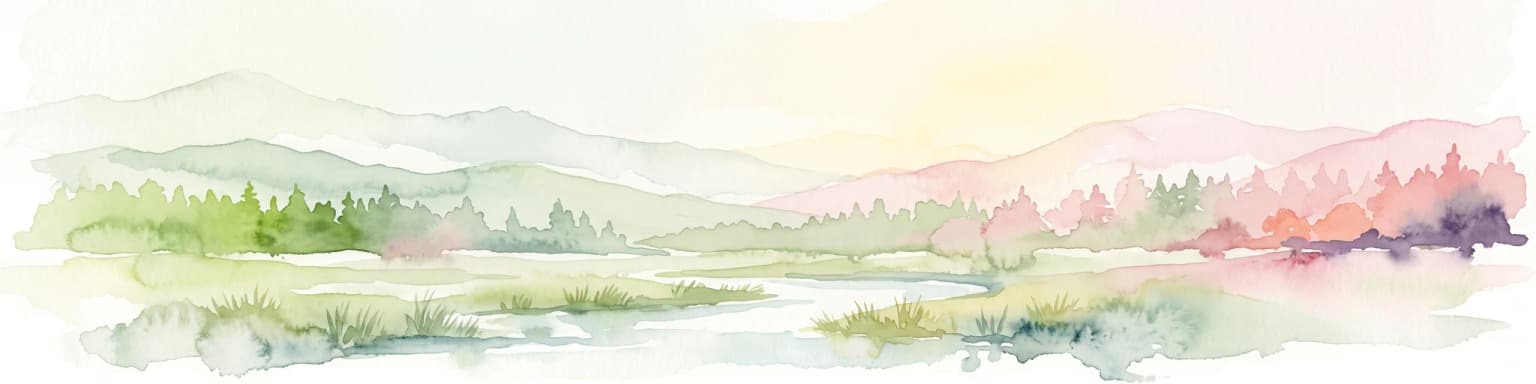
A horizontal watercolor illustration depicting soft, rolling hills, a small stream in the foreground, and pine forests, using a muted pastel palette.
Wildlife reserveChihuahua
About 433 km away#13 closest

East

Área de Protección de Flora y Fauna Cañón de Santa Elena Wildlife Reserve Map and Geography

Chihuahuan Desert conservation area in Chihuahua, Mexico

This wildlife reserve protects a vast expanse of the Chihuahuan Desert along the Mexico-United States border. The landscape is defined by deep river-cut canyons, volcanic uplifts, and broad valleys. Discover the geological structure and ecological boundaries of this protected area, which mirrors the conservation efforts of neighboring regions to maintain a vital desert ecosystem.

Area
2,772.09 km²
Established
1994
Relief
Mountain
Climate
Arid
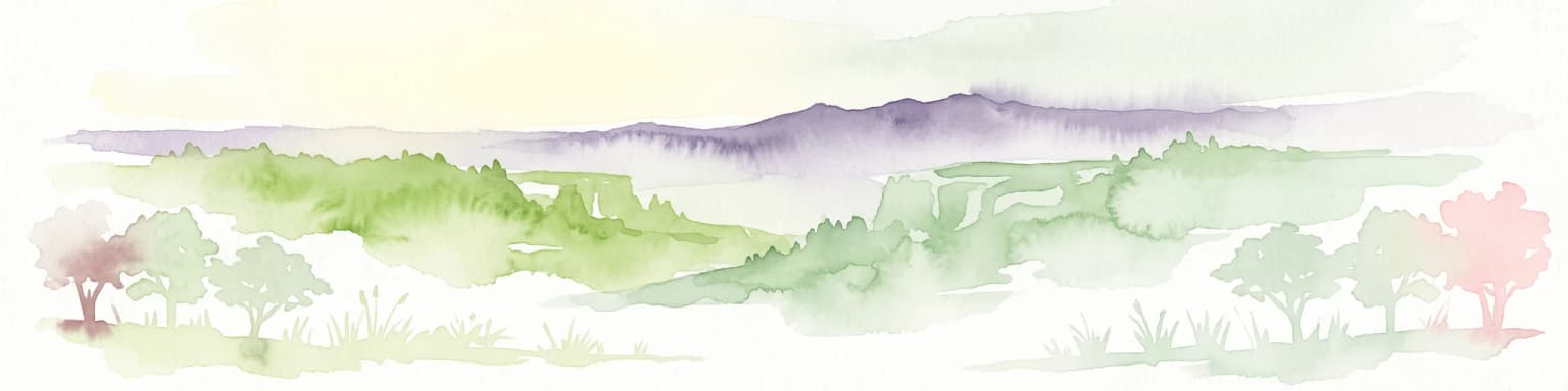
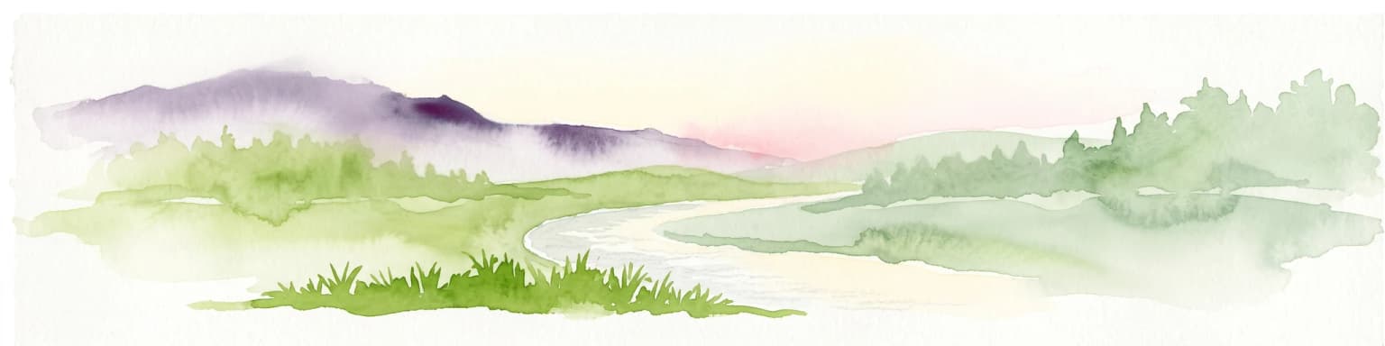
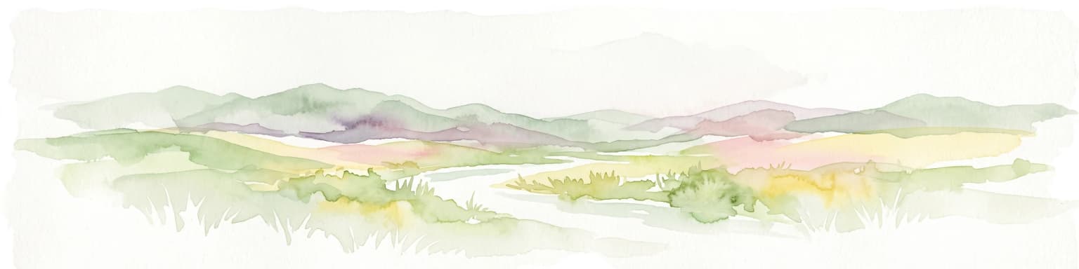
A horizontal watercolor painting showing distant mountains in shades of purple, soft green rolling hills, a central winding river or stream, and grassy foreground elements on a white background.
Protected landscapeNew Mexico
About 435 km away#14 closest

North

Gila National Forest: A Geographic Overview of New Mexico's Protected Wilderness Core

Mapped terrain, forest boundaries, and regional wilderness character

Gila National Forest stands as a critical protected landscape in New Mexico, encompassing immense mountain ranges, narrow river gorges, and extensive backcountry basins. This atlas entry details the forest's topographic transition from high-altitude ponderosa stands to desert lowlands, highlighting its status as the foundational site for the global wilderness movement and a stronghold for regional ecological diversity.

Area
10,969.7 km²
Established
1905
Relief
Mountain
Climate
Temperate
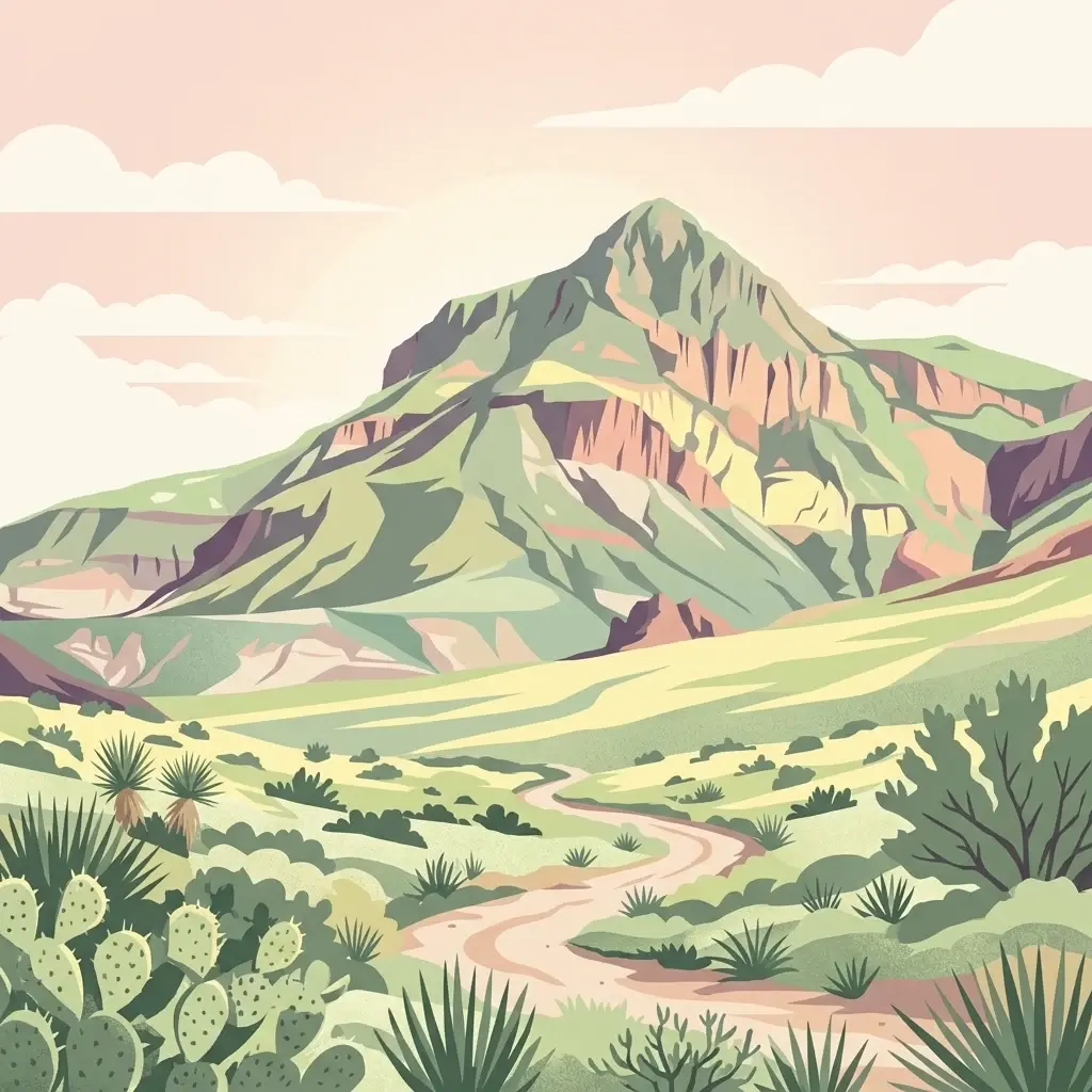
A stylized digital illustration of a desert landscape featuring a prominent mountain peak in the distance, a winding dirt path in the foreground, and desert vegetation including cacti and succulents.
National parkBrewster County
About 444 km away#15 closest

East

Big Bend National Park

Explore Brewster County's protected natural terrain.

Big Bend National Park, in Brewster County, United States of America. Landscapes: mountains, valleys, and cliffs.

Area
3,242.19 km²
Established
1944
IUCN
II
Visitors
568.1K annual
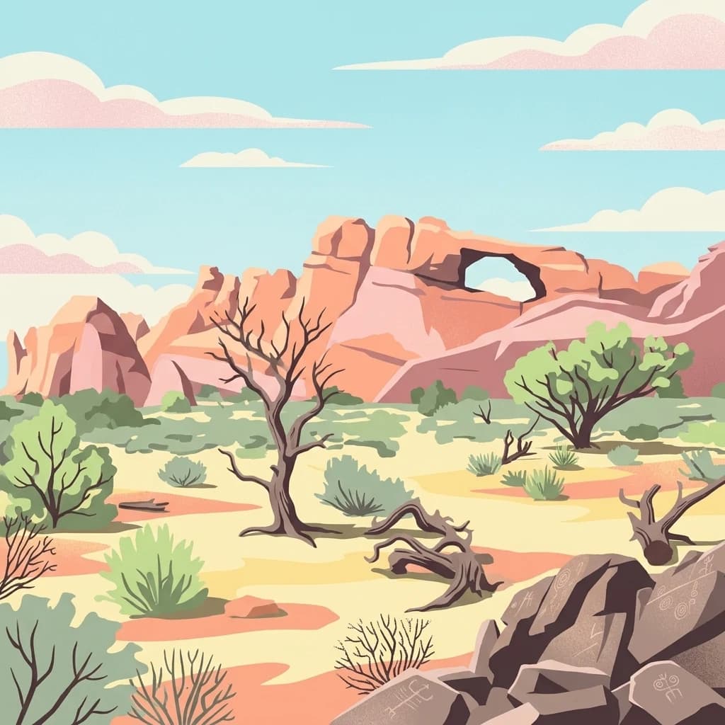
A stylized flat-design illustration of a desert environment showing a red rock formation with a large arch, sparse desert vegetation, dead trees, and boulders with carved petroglyph symbols in the foreground under a light blue sky.
National parkPima County
About 456 km away#16 closest

Northwest

Saguaro National Park: Discover Its Protected Landscape Geography and Mapped Boundaries

Explore the natural terrain and regional context of this national park.

Saguaro National Park offers a focused exploration of a specific protected landscape, highlighting its unique geographic features and mapped boundaries within Pima County. This detail page provides an atlas perspective, allowing for a deep dive into the park's natural terrain and its regional significance. Understand the protected area's identity and its place within the wider geographical context.

Area
371.16 km²
Established
1994
IUCN
II
Visitors
946.4K annual
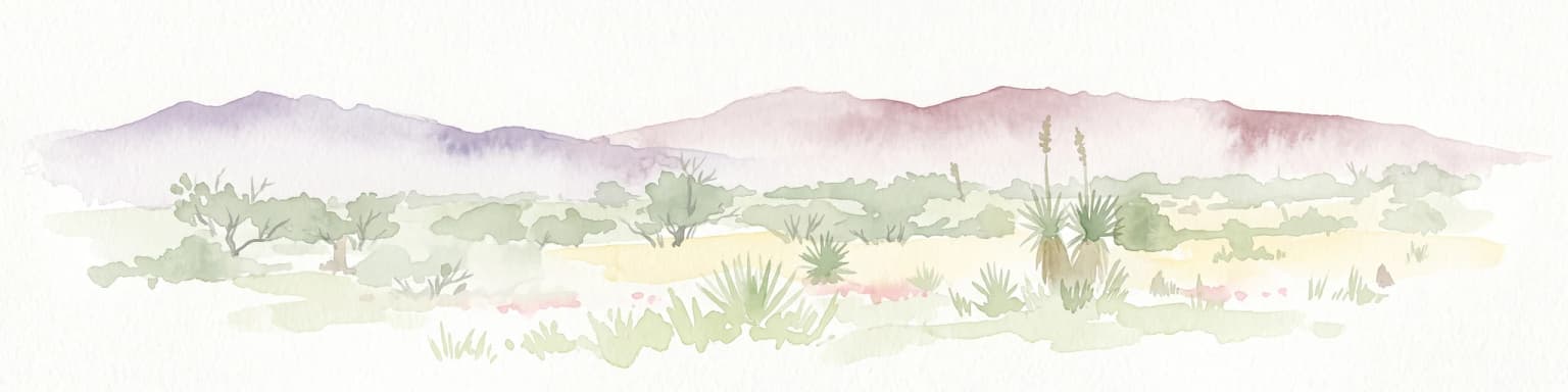
A horizontal watercolor painting depicting a desert landscape with mountains in the distance, soft green and yellow foreground vegetation, and several yucca plants.
Protected landscapeUnited States of America
About 463 km away#17 closest

Northwest

Rincon Mountain Wilderness: Geographic Atlas and Protected Landscape Overview

Sky island ecosystems and mountainous desert terrain in Arizona

This protected landscape encompasses the core of the Rincon Mountains, defining a classic triangular range oriented southwest to northeast. The wilderness serves as a vital ecological bridge, rising from arid Sonoran lowlands to cool, high-elevation montane forests. Its boundaries protect an intricate system of ridges and canyons that support isolated relict plant communities, offering a distinct study in regional desert mountain geography.

Relief
Mountain
Access
Moderate access
Scope
Terrestrial
Water
Minor water
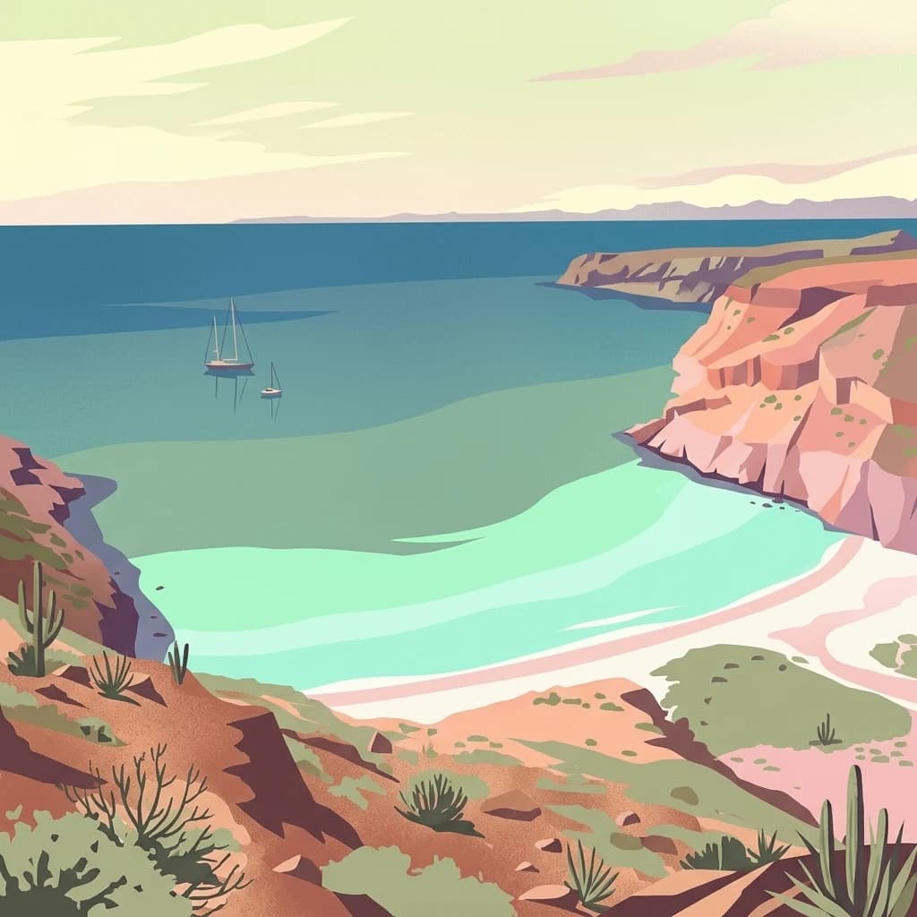
A stylized illustration showing a coastal bay with tall cliffs, arid desert plants in the foreground, and two sailboats floating in calm blue water.
National parkBaja California
About 465 km away#18 closest

West

San Lorenzo Marine Archipelago National Park: Protected Area and Mapped Landscape Geography

Explore its national park status and regional context in Baja California.

Delve into San Lorenzo Marine Archipelago National Park, a key protected area contributing to Baja California's diverse geography. As a national park, its mapped boundaries and unique landscape characteristics provide essential data for atlas exploration and understanding regional conservation efforts. This entry focuses on the park's identity as a mapped protected entity, ideal for researchers and explorers seeking structured geographic insights into natural reserves.

Area
504.42 km²
Established
2005
IUCN
II
Relief
Upland
A soft watercolor painting of a wide, rolling mountain landscape with muted greens, yellows, and purples.
Wildlife reserveArizona
About 479 km away#19 closest

Northwest

Galiuro Wilderness: A Protected Mountain Landscape in Southeastern Arizona

Mapped geography and terrain of the Galiuro range

Trace the uplifted slabs and eroded canyons that define Galiuro Wilderness. This protected area rises from the Arizona plains to reveal a complex geography of brushy slopes, spring-fed riparian zones, and sky-high summit vistas.

Area
309 km²
Established
1932
IUCN
Ib
Relief
Mountain
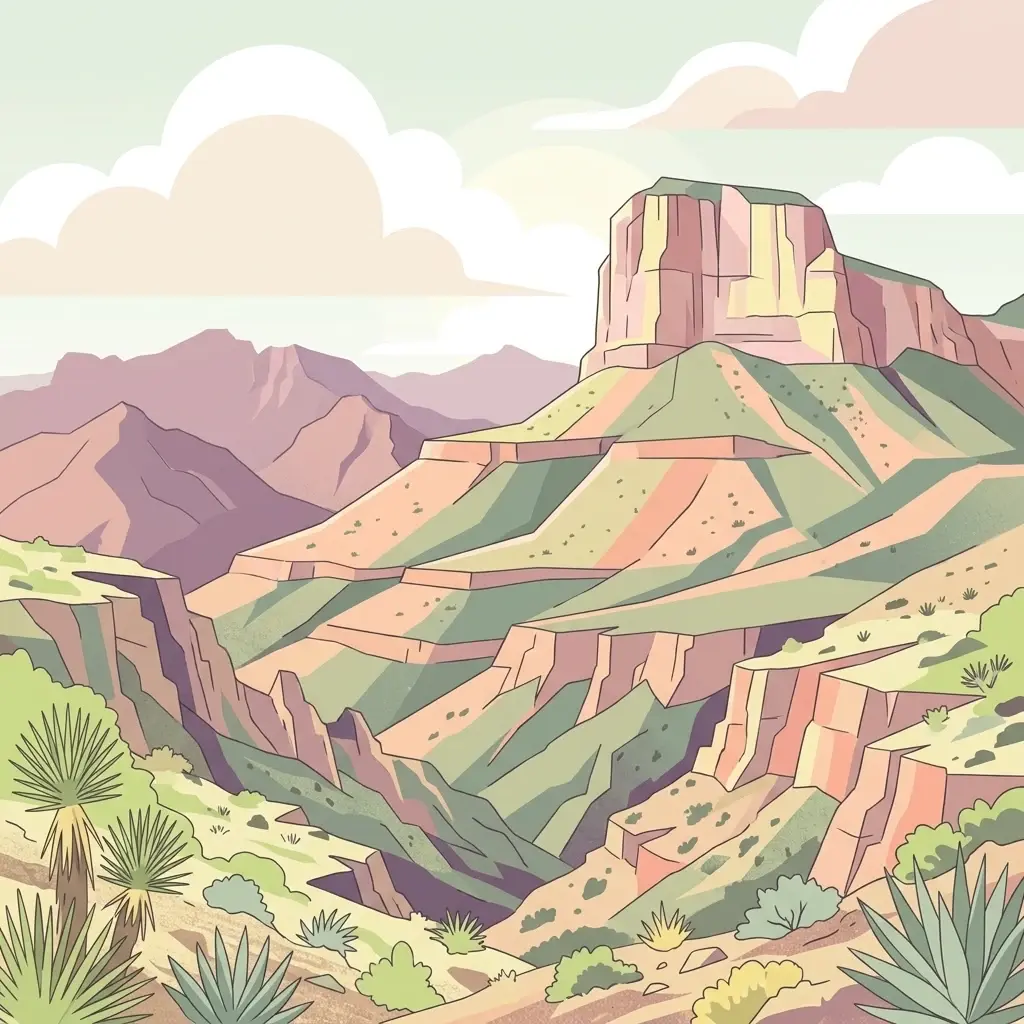
A stylized illustration showing a deep canyon with rocky cliffs under a cloudy sky, with desert flora such as yuccas and agaves in the foreground.
National parkCulberson County
About 488 km away#20 closest

Northeast

Guadalupe Mountains National Park

Explore the geography and terrain of this Texas national park.

Guadalupe Mountains National Park, in Culberson County, United States of America. Landscapes: mountains, canyons, and cliffs.

Area
349.51 km²
Established
1972
IUCN
II
Visitors
206.4K annual
Distance methodology

Geographic measurements, not driving distances

How nearby park distances are calculated

Distances use park boundaries whenever the available geometry allows it. When one or both boundaries are missing, the mapped park locations provide a clearly labelled estimate. Every value represents straight-line geographic separation and does not use roads or routing.

Boundary distance

Calculated between the nearest points of both park boundaries.

Location-to-boundary estimate

Estimated from one mapped park location to the nearest boundary of the other park.

Mapped-location estimate

Estimated between the mapped locations of both parks.

MoriAtlas Explorer

Continue Exploring the Protected Landscapes of Tutuaca Flora and Fauna Protection Area

Examine the detailed geographic profile and mountain terrain of Tutuaca Flora and Fauna Protection Area. Through MoriAtlas, trace the expansive forest boundaries and ecological corridors that define this significant wildlife reserve in the Sierra Madre Occidental of Chihuahua.