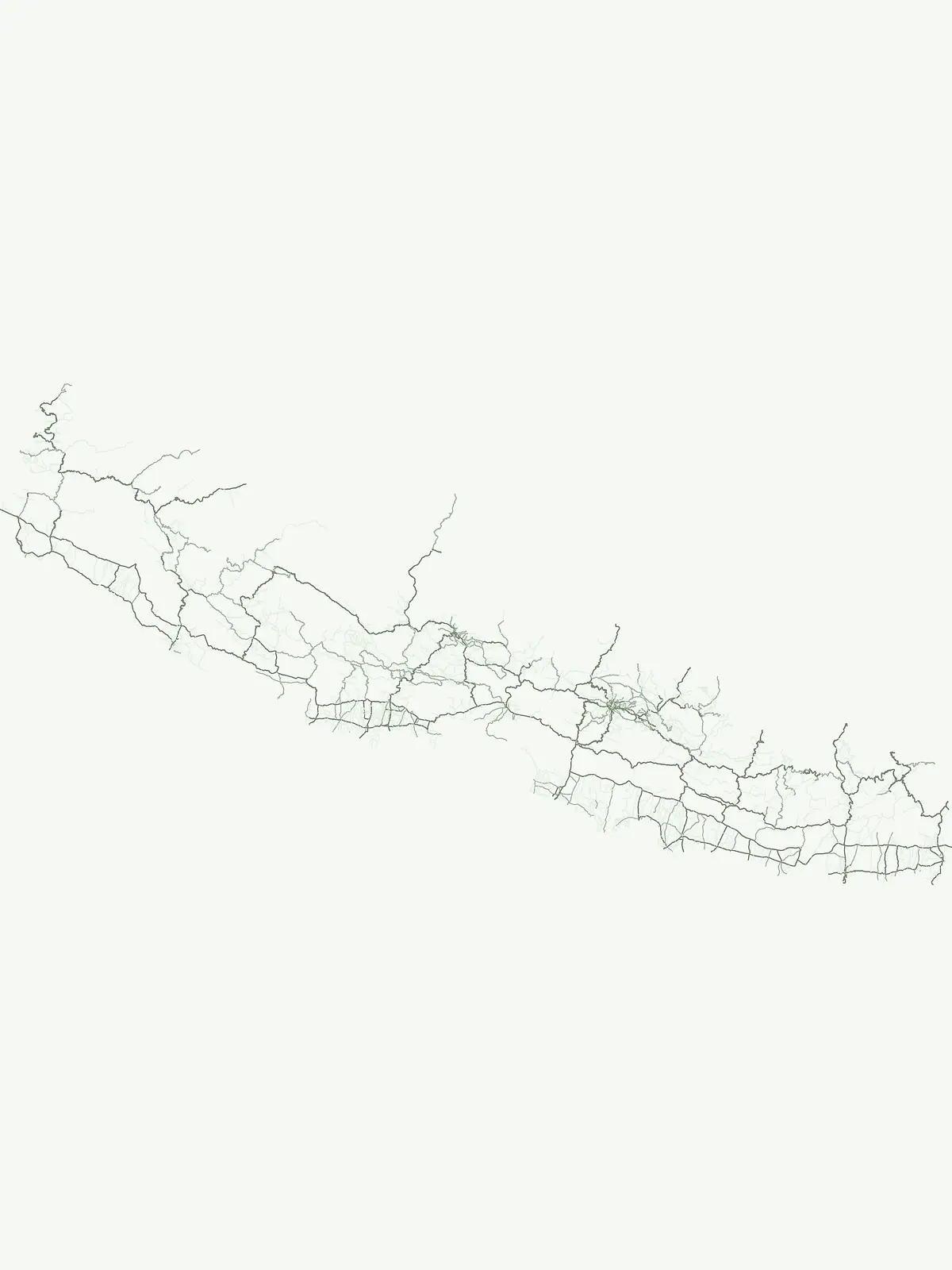
Browse the country's 12 nationally significant protected areas and their unique geographic settings.
National Parks in Nepal: Explore Protected Areas and Landscape Geography
Nepal's landscape is profoundly shaped by its protected areas, with National Parks representing key conservation efforts. This page provides an atlas-driven exploration of Nepal's 12 designated National Parks, highlighting their geographic context, mapped boundaries, and significance as protected lands within the Himalayan region. Understand the distribution and natural terrain of these vital conservation landscapes.
Browse Nepal's national park geography, showcasing its critical Himalayan and Terai conservation landscapes.
Nepal National Parks: Atlas of Protected Mountain and Terai Landscapes
MoriAtlas presents an exhaustive list of national parks in Nepal, encompassing majestic Himalayan peaks, alpine ecosystems, and diverse Terai lowland habitats. This curated collection highlights nationally significant protected areas crucial for biodiversity and landscape conservation across the country's unique geographical span.
National Parks in Nepal: Browse Protected Areas and Mountain Landscapes
Explore a comprehensive list of national parks across Nepal, showcasing diverse protected landscapes, including glacial, alpine, and grassland ecosystems. This curated atlas view allows users to trace the geographical spread and conservation efforts of Nepal's most significant national protected areas, providing valuable context for regional park discovery.
National parkKoshi ProvinceMountain
Sagarmatha National Park
Explore the protected area's regional geographic context.
Sagarmatha National Park serves as a distinct protected national park entity. This page facilitates an in-depth understanding of its mapped boundaries and its location within Koshi Province. Users can explore the park's specific landscape characteristics and its position within the broader regional geography, providing a foundation for atlas and map-driven discovery.
Explore alpine terrain and unique protected ecosystems.
Delve into the geographical distinctiveness of Shey Phoksundo National Park, Nepal's expansive protected area. This park is defined by its dramatic elevation changes and the striking Phoksundo Lake, a vivid turquoise alpine reservoir set against barren, mountainous terrain. Understanding its trans-Himalayan setting and protected landscape context reveals its importance within the broader atlas of global natural areas.
Explore the mapped boundaries of this national park.
Makalu Barun National Park is a designated national park providing critical protected landscape data for geographic discovery. Understand its position within Koshi Province and its specific mapped boundaries, offering insights into Nepal's protected areas. This entry is designed for users seeking detailed atlas information on the park's terrain and its role in regional conservation contexts.
Discover its geographic setting and park boundaries
Rara National Park is a key protected area within Nepal, offering a distinct focus for geographic exploration. This page details its identity as a national park, highlighting its mapped boundaries and its contribution to the country's atlas of natural landscapes. Understand the park's specific role and regional geographic context, providing a solid foundation for atlas-driven discovery of Nepal's protected areas.
Explore mapped protected areas and regional landscape context.
Shuklaphanta National Park is a key protected landscape within Sudurpashchim Province, Nepal. As a designated national park, its geographic identity is significant for understanding regional conservation and natural terrain. This entry focuses on its mapped boundaries and role as a protected area, providing foundational geographic context for atlas exploration and discovery of Nepal's natural landscapes.
Shivapuri Nagarjun National Park serves as a prime example of a protected natural area within Nepal, offering valuable geographic context for atlas exploration. This detail page provides insights into the park's mapped boundaries, its designation as a national park, and its place within the country's diverse natural landscapes. Understanding the terrain and regional distribution of protected areas like Shivapuri Nagarjun National Park is crucial for a comprehensive geographic perspective.
Explore the mapped terrain and regional context of this protected landscape.
Khaptad National Park is a designated national park in Nepal, offering a unique entry point for exploring protected landscapes and regional geography. This entry details the park's mapped boundaries and its significance within the broader atlas of natural terrain. Users can delve into the specific geographic context of this protected area, understanding its role within Nepal and the wider South Asian context for structured landscape discovery.
Explore the mapped terrain and regional atlas context of Banke National Park.
Banke National Park represents a vital protected area within Nepal's diverse geography, offering a focused point for atlas and map-based discovery. As a national park, its designated status highlights its importance in conserving natural landscapes and understanding regional protected-area distribution across South Asia. This entry provides detailed geographic context, enabling users to explore the park's mapped boundaries and appreciate its role within Nepal's broader natural territory.
Explore its national park status and geographic setting.
Parsa National Park represents a significant protected area within the geographic framework of Nepal. This page provides critical atlas context, detailing the park's mapped boundaries and its role as a national park. It serves as an essential resource for understanding the specific landscape features and regional geographic positioning of Parsa National Park, contributing to a structured view of protected lands across South Asia.