Mori Atlas logo
Nearby park discovery

Explore the regional geography and mapped proximity of nearby protected natural areas

National Parks and Protected Landscapes Near Augrabies Falls National Park

Investigate the geographic distribution of protected lands surrounding Augrabies Falls National Park. This overview provides a structured look at the regional terrain and identifies surrounding parks that share proximity within the Northern Cape and broader landscape context. Gain insight into the spatial arrangement of these natural areas without needing travel logs or route data.

Related tags

waterfallOrange Riversemi-desertgranite gorgeNama-Karoo

Arid canyon wilderness protecting the thundering falls of the Orange River

Augrabies Falls National Park

Augrabies Falls National Park is a dramatic protected area in South Africa's Northern Cape Province, centered around a spectacular waterfall where the Orange River plunges over a granite ledge in the heart of the Nama-Karoo semi-desert. The park covers approximately 820 square kilometers along the Orange River, creating a ribbon of riparian life through one of the country's most arid landscapes. The falls themselves drop about 60 meters into a deeply eroded granite gorge that averages 240 meters in depth and extends for 18 kilometers downstream, presenting one of the most visually striking geological features in southern Africa's protected areas. Originally inhabited by Khoekhoe peoples who named the waterfall Ankoerebis, meaning the place of great noise, the area later attracted Trekboer settlers who derived the name Augrabies from the original language.

Location
South Africa
Park type
National park
Established
1966
Area
820 km²
Augrabies Falls National Park Atlas
Regional park map

See the ranked park cluster in its geographic setting

Nearby parks around Augrabies Falls National Park

This regional map shows the same 20 nearby parks ranked below around Augrabies Falls National Park. Select a ranked marker to highlight that park’s boundary where boundary data is available.
Reference park: Augrabies Falls National ParkRanked nearby parkSelected boundary: Augrabies Falls National Park20 nearby parks shown
20 nearby parks

Distance ranked collection and regional park geography for comparative analysis

Parks and Protected Areas Geographically Near Augrabies Falls National Park

Examine the ranked collection of protected areas situated geographically close to Augrabies Falls National Park to evaluate surrounding terrain relationships. Compare recorded environmental characteristics across regional landscapes without assuming identical habitats or direct route connections.
Nature reserveNorthern Cape
About 204 km away#1 closest

East

Witsand Nature Reserve: Protected Sand Dunes and Northern Cape Regional Geography

A remote arid plateau and singing sand landscape

Witsand Nature Reserve encompasses a 3,500 hectare protected area set atop a rocky plateau in the Northern Cape. Known for its distinctive red Kalahari-style dunes that produce acoustic booming sounds, the reserve offers a unique look at the arid interior of South Africa through a lens of quiet, expansive geography and remote terrain.

Area
31.7 km²
Established
1994
Relief
Upland
Climate
Arid
National parkKgalagadi District
216 km away#2 closest

North

Kgalagadi Transfrontier Park National Park: Explore Its Mapped Protected Landscape

Discover the desert geography and unique terrain of the southern Kalahari.

Kgalagadi Transfrontier Park is a monumental protected area within the Kgalagadi District, embodying the vastness and stark beauty of the Kalahari Desert. This national park page offers an atlas-centric view of its sweeping red dunes, sparse vegetation, and the crucial dry river systems that shape its arid environment. Understand the geographic scope and the protected landscape character of this significant cross-border conservation area, perfect for detailed map exploration and understanding regional desert ecosystems.

Area
38,000 km²
Established
2000
IUCN
II
Visitors
52.5K annual
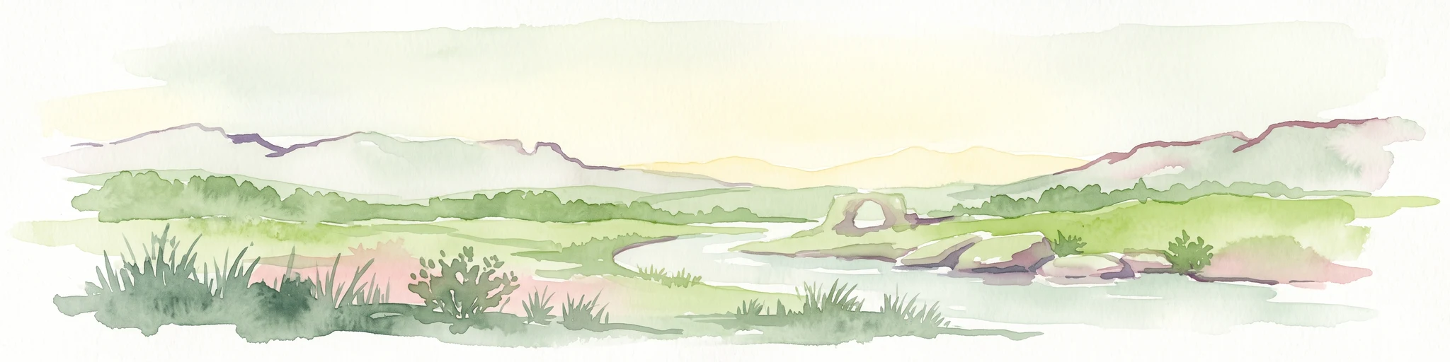
Watercolor painting of a pastoral landscape featuring rolling green hills, a small winding river, and soft-toned mountains under a pale sky.
National parkNorthern Cape
238 km away#3 closest

West

Richtersveld National Park: Geographic and Protected Area Map Context

Exploring arid volcanic landscapes in Northern Cape

Richtersveld National Park represents a vast, complex protected area defined by its rugged mountain ridges and arid desert ecology. Centered in South Africa's Northern Cape, the landscape is shaped by the Orange River and high-altitude volcanic formations. This profile offers detailed insight into the park's natural boundaries, endemic plant habitats, and its role as a living cultural landscape within the wider regional geography.

Area
1,624.45 km²
Established
1991
Relief
Mountain
Climate
Arid
Watercolor illustration of rolling hills and scattered trees under a pale sky
National parkNorthern Cape
About 250 km away#4 closest

Southeast

Meerkat National Park National Park: Geographic Atlas and Protected Landscape Details

Explore the mapped boundaries and regional geography of Meerkat National Park.

Meerkat National Park is a significant protected area identified as a national park within the expansive Northern Cape region of South Africa. This detail page offers insight into its specific landscape character and mapped geographic extent, serving as a crucial node for atlas-based exploration. Understand the park's role as a protected national landscape and its relationship to the broader regional geography of Northern Cape, contributing to a structured understanding of conservation areas.

Area
1,352.45 km²
Established
2020
IUCN
II
Relief
Lowland
National parkNorthern Cape
267 km away#5 closest

Southwest

Namaqua National Park: Protected Landscape and Geographic Atlas Details

Explore Northern Cape's National Park mapped context.

Gain insight into Namaqua National Park, a protected national park situated in the expansive Northern Cape region of South Africa. This resource provides detailed geographic context, focusing on its mapped protected landscape and unique regional features. Understand its role as a distinct natural area for atlas-based exploration and geographic discovery within South Africa's diverse terrain.

Area
1,368.18 km²
Established
2001
Climate
Arid
Access
Moderate access
Wildlife reserveNamibia
About 283 km away#6 closest

West

ǀAi-ǀAis Hot Springs Game Park: A Namibian Wildlife Reserve Bridging Desert and Geothermal Landscapes

Explore mapped boundaries and regional park geography.

ǀAi-ǀAis Hot Springs Game Park represents a vital protected area within Namibia's arid southern reaches. This wildlife reserve is characterized by its namesake hot springs, which foster unique riparian ecosystems against a backdrop of rugged desert mountains and the impressive Fish River canyon. Its inclusion in a transfrontier conservation effort underscores its significance for regional landscape mapping and the preservation of stark desert beauty and geothermal features.

IUCN
II
Relief
Mixed relief
Climate
Arid
Access
Remote access
Protected areaNamibia
About 283 km away#7 closest

West

Ai-Ais/Richtersveld Transfrontier Park: Mapped Boundaries of a Southern African Protected Area

Exploring its desert terrain and cross-border conservation geography.

Ai-Ais/Richtersveld Transfrontier Park is a significant protected area that spans across Namibia and South Africa, embodying a vital component of Southern Africa's conservation efforts. This page focuses on the park's geographic identity, detailing its arid landscape characteristics and the mapped extent of its protected boundaries. Understanding this transfrontier park offers insight into cross-border ecological cooperation and the unique desert terrain it encompasses, providing a foundation for structured geographic discovery.

Area
6,045 km²
Established
2003
IUCN
II
Relief
Mountain
A stylized digital illustration of a deep gorge with steep rocky cliffs, a flowing river, a waterfall, and trees in the foreground.
Nature reserveNorthern Cape
About 334 km away#8 closest

South

Oorlogskloof Nature Reserve; Protected Mountain Landscapes and River Gorges of Northern Cape

A diverse protected area featuring Karoo-fynbos biome transitions.

Oorlogskloof Nature Reserve presents a dramatic study in regional geography, characterized by deep river canyons, exposed rock shelves, and vast semi-desert plateaus. Located near the edge of the Knersvlakte, the reserve creates a refuge where seasonal waterfalls and rocky basins provide essential freshwater habitats. This atlas entry focuses on the interplay between its steep cliff formations and the surrounding Northern Cape plains, offering a comprehensive view of the terrain and ecological diversity.

Area
47.76 km²
Established
1971
Relief
Mountain
Scope
Terrestrial
Watercolor illustration showing a mountain range with green hills and pink flowers
National parkNorthern Cape
377 km away#9 closest

South

Tankwa Karoo National Park National Park: Mapped Protected Landscape in Northern Cape

Explore regional geography and protected area boundaries.

Tankwa Karoo National Park is a key protected area situated in the vast Northern Cape region of South Africa. This entry provides a detailed atlas perspective, focusing on the park's mapped geography and its significance as a national park. Understand the park's landscape context and its position within the broader regional geography for informed exploration and geographic discovery.

Area
1,436 km²
Established
1986
Relief
Upland
Climate
Arid
National parkNorthern Cape
378 km away#10 closest

East

Mokala National Park: Protected Landscape within South Africa's Northern Cape Region

Discover its geographic context and mapped park boundaries.

Mokala National Park stands as a notable protected area within the expansive Northern Cape province of South Africa. This national park provides a focal point for understanding regional geography and landscape context, enabling users to explore its mapped terrain and protected boundaries. Engage with detailed geographic information to appreciate its role in the broader conservation atlas and discover the unique attributes of this natural landscape.

Area
196.11 km²
Established
2007
IUCN
II
Relief
Mixed relief
National parkNamibia
411 km away#11 closest

Northwest

Namib-Naukluft National Park: Namibia's Iconic Desert Landscape and Protected Terrain

Explore its ancient dunes, Naukluft mountains, and coastal geography.

Namib-Naukluft National Park is a colossal protected area in Namibia, holding the distinction of being Africa's largest national park. This park is renowned for its iconic sand dunes, particularly at Sossusvlei, which are among the highest in the world and display dramatic colors due to iron oxidation. The landscape also features the rugged Naukluft Mountains and vital coastal fog zones, creating a diverse arid environment. Delve into the mapped geography and unique terrain of this ancient desert setting, understanding its protected landscape significance within Namibia's atlas.

Area
49,768 km²
Established
1907
IUCN
II
Relief
Mixed relief
Nature reserveWestern Cape
About 421 km away#12 closest

Southwest

Bird Island Nature Reserve: Mapped Coastal Protected Areas and Seabird Habitats

Geography and protected island landscapes in Western Cape, South Africa

Bird Island Nature Reserve represents a key protected coastal landform off the West Coast of South Africa. This three hectare reserve functions as a critical nesting ground, characterized by flat rocky shelves and sun-bleached outcrops. Browse the mapped boundaries and geographic features of this marine sanctuary, which plays a major role in regional seabird conservation and coastal ecological study.

Area
0.03 km²
Established
1988
Relief
Lowland
Climate
Mediterranean
Nature reserveNamibia
About 422 km away#13 closest

Northwest

Tirasberge Nature Reserve: Geography and Protected Landscapes of Southern Namibia

A compact wilderness spanning mountain massifs and desert frontiers.

The Tirasberge region serves as a vital protected area in southern Namibia, showcasing a diverse intersection of mountain ridges, red sand dunes, and arid savanna plains. This reserve provides a unique look into a stratified landscape where high elevation terrain meets the lower reaches of the Namib dune sea, creating a complex corridor for ecology and history. Understanding the reserve reveals how mountain-to-savanna transitions define the rugged character of this southern African conservation zone.

Area
1,250 km²
Established
1998
Relief
Mountain
Climate
Arid
A watercolor illustration of a scenic wilderness landscape with rolling hills, a winding stream, foreground grasses, and a distinct rock arch formation in the background.
Wildlife reserveWestern Cape
About 423 km away#14 closest

South

Cederberg Wilderness Area: Geographic Overview of Western Cape Protected Landscapes

Mapped sandstone peaks and diverse fynbos wilderness.

The Cederberg Wilderness Area represents a rugged mountain range defined by its resistant Peninsula Formation sandstone and complex geological history. Encompassing dramatic rock formations, ancient caves, and unique botanical endemics, the area offers a study in the intersection of mountainous terrain and the Cape Floral Region. Understand the regional context and physical geography that shape this protected sanctuary.

Area
710 km²
Established
1973
Relief
Mountain
Climate
Mediterranean
Wildlife reserveWestern Cape
424 km away#15 closest

Southeast

Karoo National Park Wildlife Reserve: Mapped Boundaries and Geographic Context

Explore the protected landscape of this Western Cape wildlife reserve.

Karoo National Park stands as a protected wildlife reserve, offering insights into the natural geography of South Africa's Western Cape. This detail page provides an atlas view of its protected landscape, mapping its boundaries and situating it within its regional context. Engage with the park's identity as a conservation area and understand its geographic significance for dedicated exploration.

Area
767.9 km²
Established
1979
Relief
Mountain
Climate
Arid
Nature reserveWestern Cape
About 438 km away#16 closest

South

Matjiesrivier Nature Reserve: Botanical Diversity and San Rock Art in Western Cape

A protected landscape bridging fynbos and karoo ecosystems

Matjiesrivier Nature Reserve represents a critical conservation landscape in South Africa, known for the transition between mountain terrain and semi-arid basins. The reserve protects unique slate-based soil habitats that sustain a blend of Cape Floral Kingdom vegetation and hardy karoo species. Visitors and researchers recognize this area for its high density of San rock art sites, offering a deep cultural look into the Late Stone Age history of the Western Cape.

Area
128 km²
Established
1995
Water
Minor water
Nature reserveWestern Cape
About 475 km away#17 closest

Southwest

Rocherpan Nature Reserve: Mapping Coastal Wetlands and Strandveld Landscapes in the Western Cape

Protected coastal reserve on the South African West Coast.

Located along the Atlantic shore between Velddrif and Elands Bay, Rocherpan Nature Reserve encompasses a rare, seasonal wetland system. The reserve protects a complex of dune cordons, sandy beaches, and low-lying coastal veld that transforms dramatically with the winter rains. This map-focused entry highlights the ecological layering and geographic significance of this South African protected area.

Area
18 km²
Established
1976
Relief
Lowland
Climate
Mediterranean
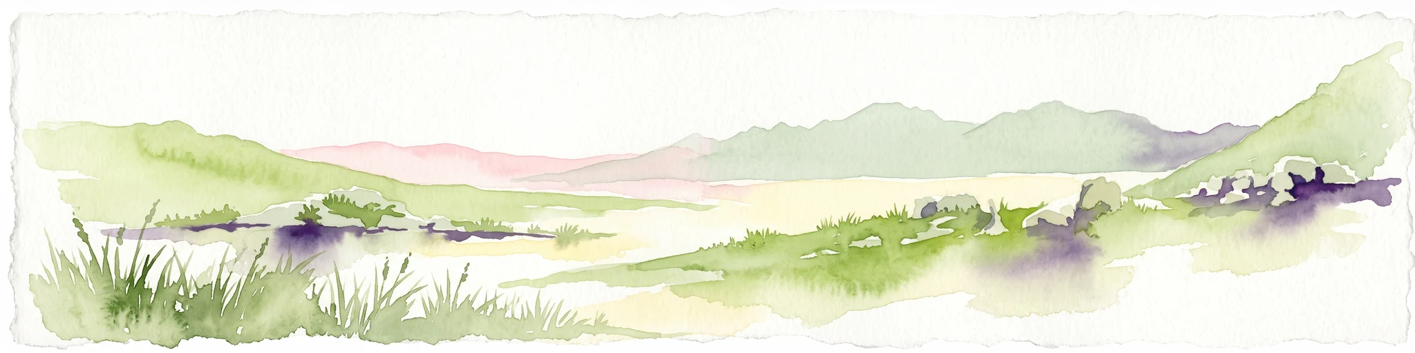
A horizontal watercolor painting showing a soft, stylized mountain landscape with green hills, purple shadows, and grassy foreground.
Wildlife reserveWestern Cape
About 499 km away#18 closest

South

Groot Winterhoek Wilderness Area: Protected Mountain Reserve in the Western Cape

Mapping sandstone ridges, fynbos plateaus, and mountain river systems

Spanning 30,000 hectares, Groot Winterhoek Wilderness Area represents a core mountain wilderness in South Africa. Its dissected landscape of Table Mountain sandstone features high peaks, sheltered kloofs, and seasonal rockpools, forming a critical ecological corridor and water catchment within the Cape Fold Belt mountain system.

Area
306.08 km²
Relief
Mountain
Climate
Mediterranean
Access
Moderate access
Nature reserveNorth West
About 508 km away#19 closest

East

S.A. Lombard Nature Reserve: Mapping Protected Grasslands in North West South Africa

A critical study of semi-arid veld and grassland conservation zones

Situated on the arid North West plains, S.A. Lombard Nature Reserve occupies a distinct geographic role as a protected enclave. The site features a flat, treeless interior plateau characterized by the transition between brackish turf and sandy veld, serving as a vital sanctuary for historically vulnerable antelope populations.

Area
46 km²
Established
1954
Relief
Lowland
Scope
Terrestrial
National parkNamibia
About 512 km away#20 closest

West

Tsau ǁKhaeb National Park: Namibia's Protected Area and Geographic Identity

Mapped natural landscape and park boundaries in Namibia.

Tsau ǁKhaeb National Park represents a vital protected area within Namibia, offering deep insights into the country's unique arid environments. This park detail page serves as an atlas entry focused on its mapped geography, highlighting its protected boundaries and its role within the broader landscape of Southern Africa. Explore the inherent geographic characteristics and conservation significance of this national park.

Distance methodology

Geographic measurements, not driving distances

How nearby park distances are calculated

Distances use park boundaries whenever the available geometry allows it. When one or both boundaries are missing, the mapped park locations provide a clearly labelled estimate. Every value represents straight-line geographic separation and does not use roads or routing.

Boundary distance

Calculated between the nearest points of both park boundaries.

Location-to-boundary estimate

Estimated from one mapped park location to the nearest boundary of the other park.

Mapped-location estimate

Estimated between the mapped locations of both parks.

MoriAtlas Explorer

Continue Exploring Augrabies Falls National Park's Mapped Landscape and Geographic Context

Deepen your understanding of Augrabies Falls National Park by exploring its specific geography, mapped boundaries, and the unique characteristics of its semi-desert environment. Gain detailed insights into this protected landscape within South Africa's Northern Cape, perfect for atlas-driven discovery and appreciating the natural terrain.

Global natural geography