Mori Atlas logo
Nearby park discovery

Identify surrounding geographic landscapes and regional protected area boundaries

Parks near Gorongosa National Park

Compare protected areas near Gorongosa National Park, ordered by geographic distance. They include Chimanimani National Park and Nyanga.

A stylized flat illustration of a wetland landscape featuring tall grasses and reeds in the foreground, winding water channels, and a soft sunset sky with pastel colored clouds.

Mozambique's Rift Valley wilderness in recovery

Gorongosa National Park

Gorongosa National Park is a vast protected area spanning approximately 3,770 square kilometers at the southern end of the Great African Rift Valley in central Mozambique. The park encompasses the valley floor and portions of the surrounding plateaus, with rivers originating from Mount Gorongosa watering the plains below. This unique geographic position creates a remarkable diversity of ecosystems, from seasonally flooded grasslands and acacia savanna to dry forests and spectacular rainforests tucked within limestone gorges. Once home to some of the densest wildlife populations in Africa, the park has become a powerful story of ecological restoration following near-total devastation during the Mozambican Civil War.

Location
Mozambique
Park type
National park
Established
1960
Area
3,770 km²
Highest point
1,863 m
Gorongosa National Park Protected Area
Regional park map

See the ranked park cluster in its geographic setting

Nearby parks around Gorongosa National Park

This regional map shows the same 20 nearby parks ranked below around Gorongosa National Park. Select a ranked marker to highlight that park’s boundary where boundary data is available.
Reference park: Gorongosa National ParkRanked nearby parkSelected boundary: Gorongosa National Park20 nearby parks shown
20 nearby parks

Ranked distance relationships and regional protected landscape patterns

Parks and Protected Areas Geographically Near Gorongosa National Park

Examine the ranked collection of protected areas geographically positioned near Gorongosa National Park to analyze surrounding regional park geography. Evaluating straight line separation, country context, and recorded environmental attributes offers a structured framework for comparing diverse conservation landscapes.
A stylized illustration of a rugged mountain landscape with large light-colored rock formations, green scrub vegetation, and trees under a pale sky.
National parkManica Province
About 143 km away#1 closest

Southwest

Chimanimani National Park: Geographic Atlas of Mozambique's Highland Protected Landscapes

Mountain wilderness and transfrontier conservation in Manica Province

Investigate the complex topography of Chimanimani National Park, where the rugged Chimanimani Mountains create a unique highland ecosystem. This data-driven overview highlights the park's role as a major protected territory in eastern Mozambique, documenting its mountain ridges, expansive buffer zones, and role in cross-border conservation geography.

Area
656 km²
Established
2020
IUCN
II
Relief
Mountain
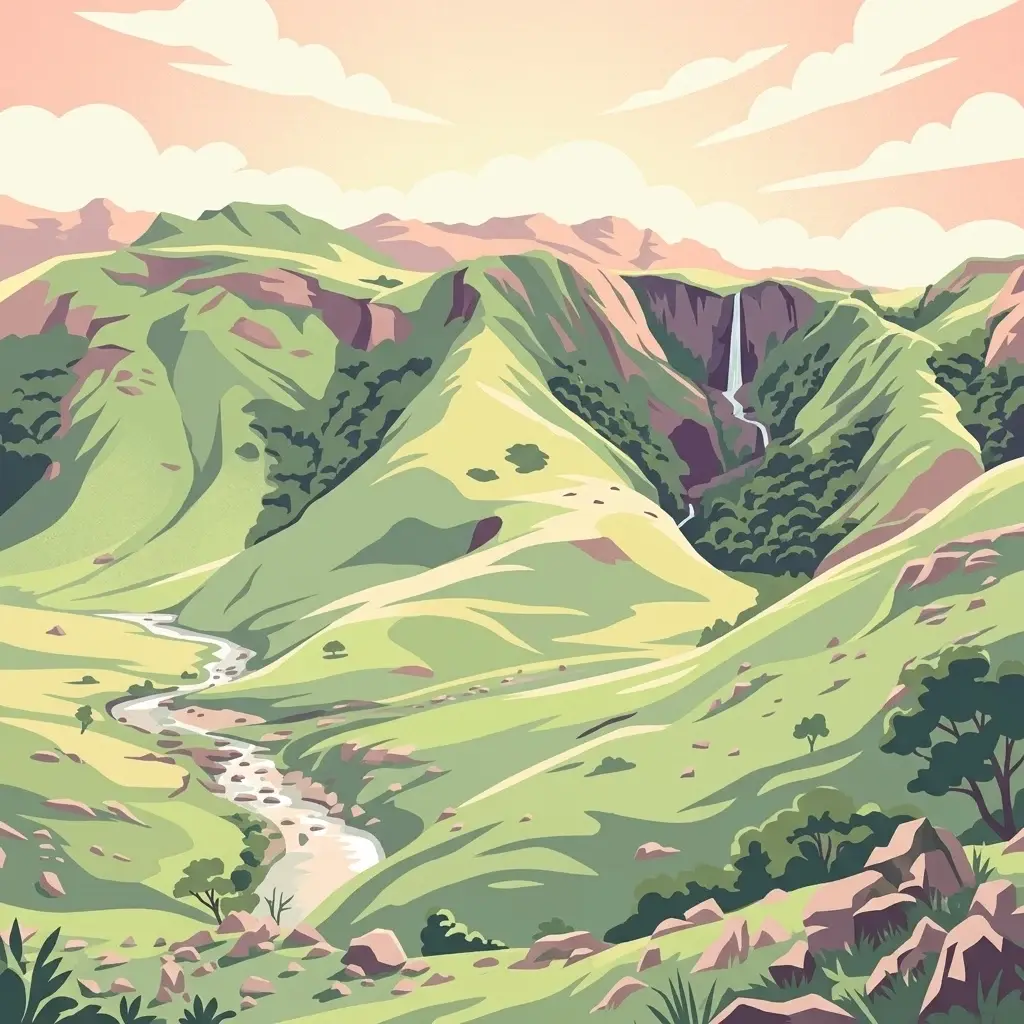
A flat-style digital illustration showing a tiered waterfall flowing down a rocky, green-forested mountain cliff into a valley below.
National parkZimbabwe
146 km away#2 closest

West

Nyanga National Park: Zimbabwe's Protected National Park Landscape Identity

Explore mapped boundaries and regional geography.

Nyanga National Park is a prime example of a protected landscape within Zimbabwe, offering distinct geographic features and mapped boundaries for detailed atlas exploration. As a national park, it serves as a critical point of reference for understanding the distribution of protected areas across Southeast Africa. This page provides foundational geographic context and landscape identity, allowing users to trace the park's physical presence and its role within the broader regional atlas.

Area
472 km²
Established
1926
IUCN
II
Relief
Mountain
A stylized illustration of a green mountain valley with a waterfall cascading down a cliff, a winding river in the foreground, and soft sunset light.
National parkZimbabwe
About 147 km away#3 closest

Southwest

Chimanimani National Park: Geographic Context and Mapped Protected Landscapes of Zimbabwe

A study of montane mountain terrain and transfrontier conservation geography.

Chimanimani National Park encompasses one of southern Africa's most distinctive mountain environments, where sharp ridges and deep valleys support exceptional plant endemism. The protected area forms a significant mountainous corridor within the Eastern Highlands, offering a structured look at how elevation influences local Afromontane ecology and broader landscape connectivity.

Area
155 km²
Established
1949
Relief
Mountain
Climate
Subtropical
Wildlife reserveNsanje District
About 209 km away#4 closest

North

Mwabvi Wildlife Reserve: Mapping the Protected Landscapes of the Nsanje District

Geography, woodland terrain, and regional biodiversity.

Located in the southernmost Nsanje District of Malawi, Mwabvi Wildlife Reserve encompasses a unique convergence of dry Brachystegia woodland, sandstone hills, and open savanna grasslands. This protected area offers a deep look into the varied topographies of the Lower Shire region, providing a comprehensive understanding of the reserve's historic ecological importance and its current role in regional conservation.

Area
135 km²
Established
1953
IUCN
IV
Relief
Upland
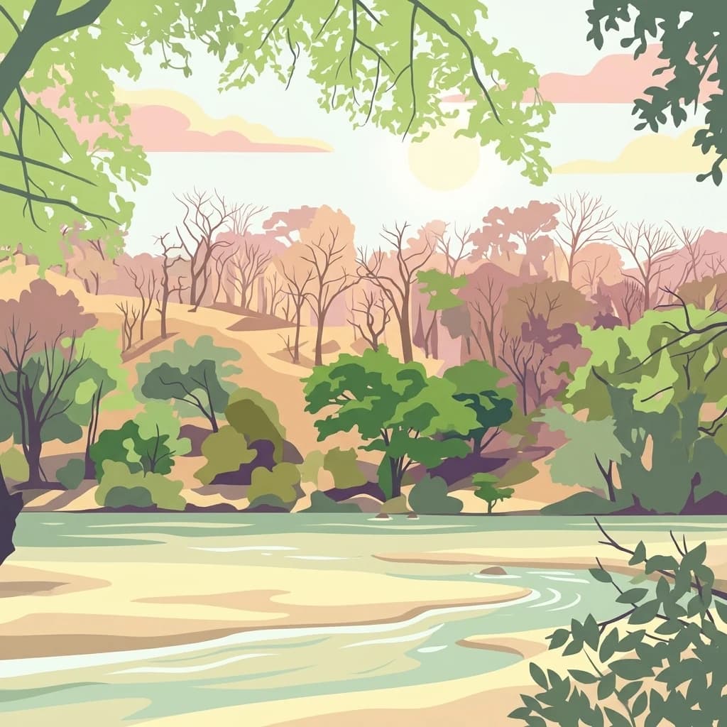
A stylized digital illustration of a dry, open woodland landscape with deciduous trees, bare branches, and scattered shrubs under a soft, light-toned sky.
National parkMalawi
About 247 km away#5 closest

North

Lengwe National Park: Malawi's Protected Landscape Atlas and Geographic Context

Mapped natural terrain and protected area boundaries in Malawi.

Lengwe National Park offers a focused look into Malawi's protected natural areas. As a designated national park, its geographic significance is highlighted through mapped boundaries and an understanding of the surrounding regional terrain. This entry provides essential context for exploring its identity as a protected landscape within southeastern Africa, contributing to a broader atlas of conservation areas.

Area
887 km²
Established
1970
IUCN
II
Climate
Tropical
A stylized vector illustration of a river flowing through a savanna-like woodland with sparse trees and muted, earthy tones.
Wildlife reserveMalawi
About 278 km away#6 closest

North

Majete Wildlife Reserve: Geographic Atlas and Protected Area Map of Southern Malawi

Savanna landscapes and Shire River valley ecology

Majete Wildlife Reserve represents a premier example of habitat restoration in the Shire River valley. Spanning 700 square kilometers of varied terrain, the reserve protects a mosaic of riparian forest and savanna that has been carefully managed to sustain Big Five wildlife. Gain insight into the regional geography, protected landscape boundaries, and conservation history of this essential Malawian wildlife sanctuary.

Area
700 km²
Established
1955
IUCN
IV
Visitors
7K annual
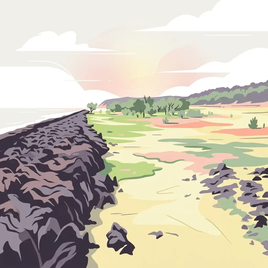
A flat-style illustration of a coastal scene with dark, craggy rock formations in the foreground, a sandy beach, and a distant treeline under a soft sunrise sky.
National parkMozambique
About 286 km away#7 closest

South

Bazaruto Archipelago National Park: Mozambique's Protected Natural Landscape

Explore geographic boundaries and atlas context.

Gain structured insight into Bazaruto Archipelago National Park, a significant protected national park located off the coast of Mozambique. This page provides a detailed geographic perspective, highlighting the park's mapped boundaries and its importance within the regional landscape. Understand its protected area status and how it fits into the broader atlas of Mozambique's natural heritage for focused geographic discovery.

Area
1,430 km²
Established
1971
Relief
Lowland
Climate
Tropical
National parkMozambique
About 288 km away#8 closest

South

Zinave National Park: A Mozambique National Park with Diverse Woodland and Savanna Landscapes

Explore its mapped terrain, riverine forests, and savanna ecosystems.

Zinave National Park in Mozambique is a significant protected area spanning 4,000 square kilometers. Its landscape comprises a rich variety of ecosystems, including miombo woodlands, mopane-dominated areas, acacia savannas, and distinct riverine forests along the Save River. This national park is strategically positioned within the Greater Limpopo Transfrontier Park, highlighting its importance for regional wildlife corridors and conservation geography. The terrain offers a unique insight into the transitional ecological zones of southern Africa, showcasing diverse natural habitats and mapping potential for its protected boundaries.

Area
4,000 km²
Established
1973
IUCN
II
Relief
Lowland
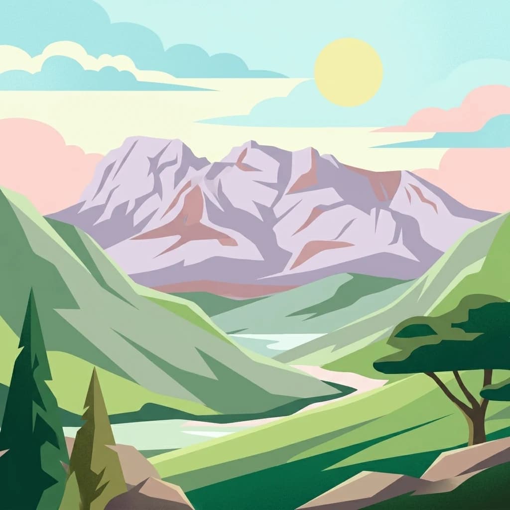
Digital illustration of a large mountain range with jagged peaks, rolling green foothills, a central valley, and a stylized sun in a soft pastel sky.
Nature reserveMalawi
About 307 km away#9 closest

North

Mulanje Mountain Forest Reserve: Protected Afromontane Landscapes in Southern Malawi

Geographic overview of the Mulanje Massif and its high-elevation plateau

This nature reserve covers an isolated mountain block in Malawi, rising sharply to 3,002 meters at Sapitwa Peak. The landscape features rugged granite cliffs, deeply carved valleys, and extensive Afromontane forests that provide sanctuary for numerous endemic species. Use this atlas resource to understand the massif's vertical relief, plateau characteristics, and its central role in the regional geography of southeastern Africa.

Area
563.17 km²
Established
1927
Relief
Mountain
Climate
Tropical
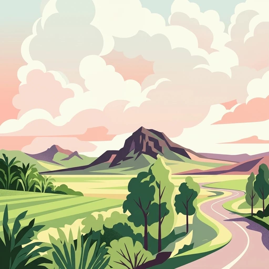
An illustrative style mountain landscape showing a prominent mountain peak in the distance with a winding road leading through a grassy valley under a sky filled with large puffy clouds.
Nature reserveChiradzulu District
About 319 km away#10 closest

North

Chiradzulu Mountain Forest Reserve: Geography and Protected Area Profile

A rugged mountain landmark in the Shire Highlands of southern Malawi

Located in the heart of Chiradzulu District, this nature reserve protects a prominent mountain massif known for its unique silhouette and ecological importance. The site provides a vital reference point for understanding the mountainous terrain, regional reforestation progress, and the broader natural landscapes of the Shire Highlands.

Area
7.74 km²
Established
1924
Relief
Mountain
Scope
Terrestrial
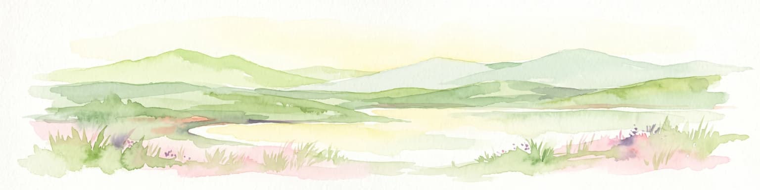
Watercolor painting of a panoramic landscape featuring soft, rolling green hills and a central body of water against a pale background.
Nature reserveMalawi
About 361 km away#11 closest

North

Zomba Plateau Nature Reserve: Geographic Overview and Mapped Mountain Terrain

Protected montane landscapes in southern Malawi

Zomba Plateau stands as a significant granitic intrusion within the Shire Highlands, featuring high-altitude terrain and diverse forested patches. This record provides essential geographic context on its geological structure, forest reserves, and surrounding vistas across the southern Malawi landscape.

Area
130 km²
Established
1913
Relief
Mountain
Climate
Tropical
National parkTete Province
About 375 km away#12 closest

Northwest

Magoe National Park: A National Park in Tete Province for Geographic and Landscape Exploration

Discover the mapped boundaries and regional geography of this protected area.

Magoe National Park serves as a crucial national park within Tete Province, providing a defined space for exploring regional geography and landscape features. This entry focuses on understanding the park's protected status and its mapped territories, offering valuable context for atlas and geographic research. Examine its location and boundaries to appreciate its role as a protected natural landscape within Mozambique.

Area
3,559 km²
Established
2013
Scope
Terrestrial
Water
Major water bodies
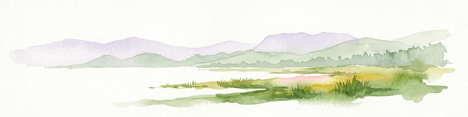
A watercolor painting showing a wide, panoramic view of a lake shore with marshy green grasses in the foreground and soft purple hills in the background.
Protected areaZomba District
About 376 km away#13 closest

North

Lake Chilwa Protected Area: Geography, Map, and Seasonal Wetland Landscape Analysis

Understanding the endorheic basin and floodplain dynamics in Malawi.

Lake Chilwa stands as a significant protected area and Ramsar wetland in Zomba District. This detail covers its unique closed-basin geography, the influence of seasonal rainfall on surface extent, and the distinct characteristics of its shallow open water and flooded grasslands. Explore the intersection of river inflows and basin drainage that defines this critical ecosystem.

Established
1996
Relief
Lowland
Scope
Terrestrial
Water
Water-dominated
National parkGaza Province
390 km away#14 closest

South

Banhine National Park National Park: Mapped Boundaries and Gaza Province Geographic Context

Discover the protected landscape identity of this national park.

Delve into the specifics of Banhine National Park, a designated national park situated within Gaza Province. This entry provides essential geographic details, focusing on its mapped protected area, its status as a national park, and how it fits within the broader regional geography of southern Mozambique. Understand the park's landform context and its atlas-relevant attributes for structured discovery.

Area
7,250 km²
Established
1973
IUCN
II
Relief
Lowland
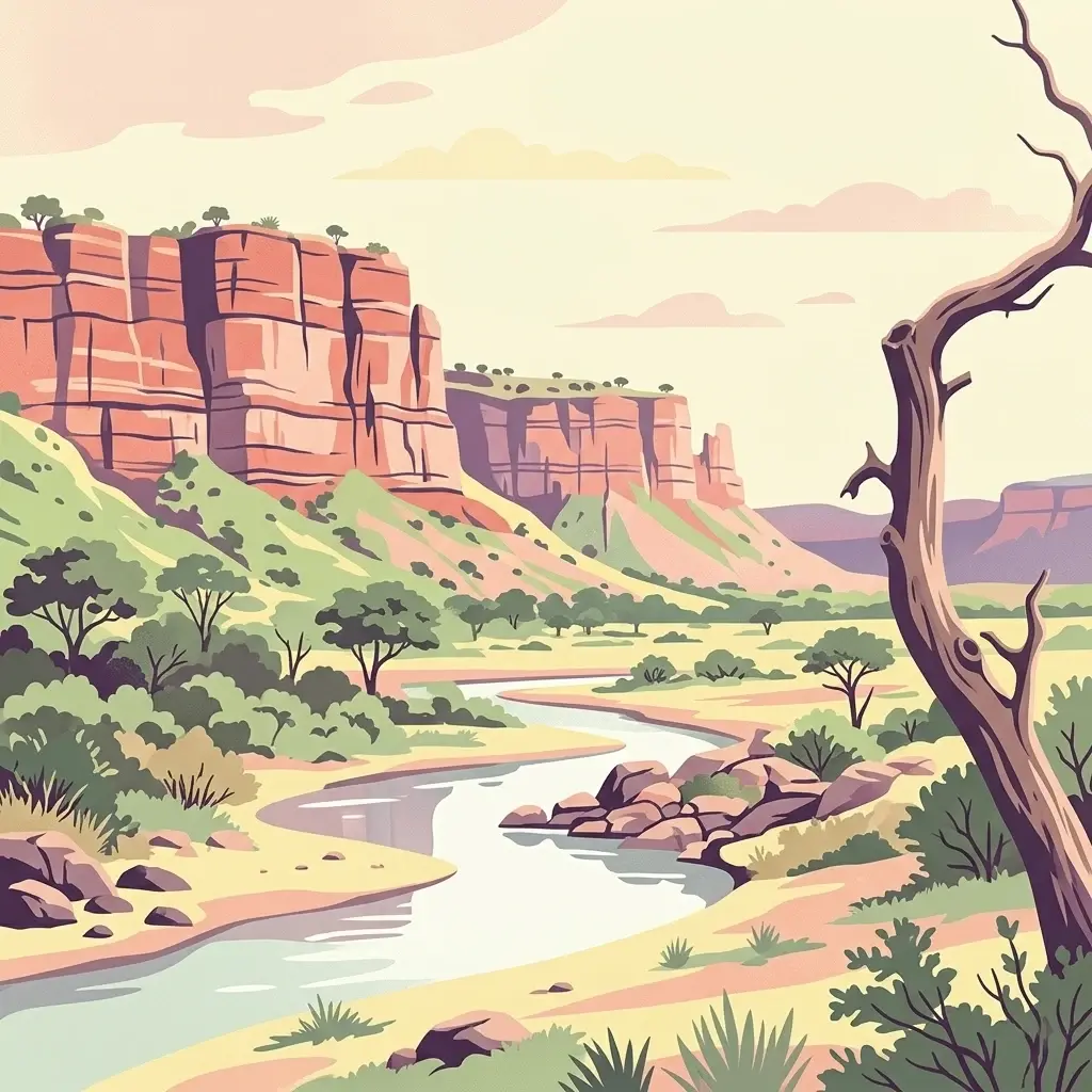
An illustration showing a winding river flowing through a dry landscape below prominent red sandstone cliffs, with a dead tree in the foreground.
National parkMasvingo Province
About 393 km away#15 closest

Southwest

Gonarezhou National Park: National Park Protected Landscape in Masvingo Province

Explore mapped boundaries and regional geography

Gonarezhou National Park represents a significant protected area within the geography of Masvingo Province, Zimbabwe. This page details its specific mapped boundaries and landscape context, offering a focused view for atlas-based exploration. Understand the park's natural terrain and its positioning within the regional protected lands for comprehensive geographic discovery.

Area
5,053 km²
Established
1975
IUCN
II
Relief
Mixed relief
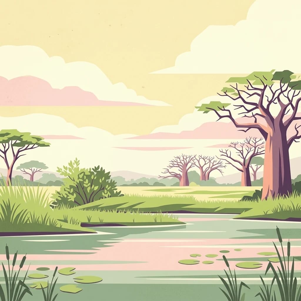
A stylized digital illustration of a river flowing through an African savanna, with large baobab trees, lush riverbanks, and calm water under a pastel-colored sky.
National parkSouthern Region
About 414 km away#16 closest

North

Liwonde National Park: National Park in Malawi's Southern Region

Mapped Protected Area Boundaries and Geographic Context

Liwonde National Park is a designated national park situated in Malawi's Southern Region. This entry provides detailed geographic information, focusing on the park's mapped boundaries and its role within the broader atlas of protected landscapes. Explore the unique regional geography and conservation context that defines this protected area.

Area
548 km²
Established
1973
Relief
Upland
Climate
Tropical
National parkMozambique
467 km away#17 closest

Southwest

Limpopo National Park

Explore its mapped boundaries and transfrontier park significance.

Limpopo National Park, in Mozambique. Landscapes: grasslands, rivers, and lakes.

Area
10,000 km²
Established
2002
IUCN
II
Relief
Lowland
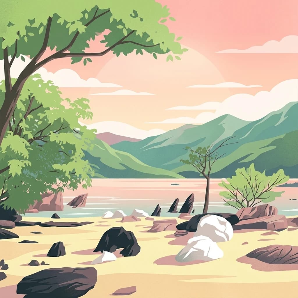
A stylized vector illustration showing a sandy lakeshore with scattered rocks, green trees on the left, and distant green mountains under a soft pink sunset sky.
National parkMalawi
472 km away#18 closest

North

Lake Malawi National Park

Discover mapped terrain, island geography, and evolutionary wonders.

Lake Malawi National Park, in Malawi. Landscapes: coasts, islands, and lakes.

Area
94 km²
Established
1980
IUCN
II
Relief
Mountain
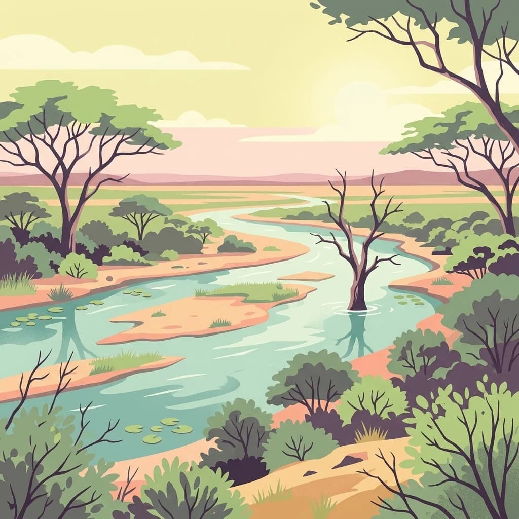
A flat, stylized digital illustration showing a winding river flowing through a savanna with acacia trees and patches of green vegetation under a soft, golden sky.
National parkSouth Africa
478 km away#19 closest

Southwest

Kruger National Park

Explore savanna landscapes and mapped protected area boundaries.

Savanna, riverine forests, and mopane woodlands in South Africa provide habitat for elephants, lions, leopards, rhinos, and buffalo.

Area
19,623 km²
Established
1926
IUCN
II
Visitors
1.7M annual
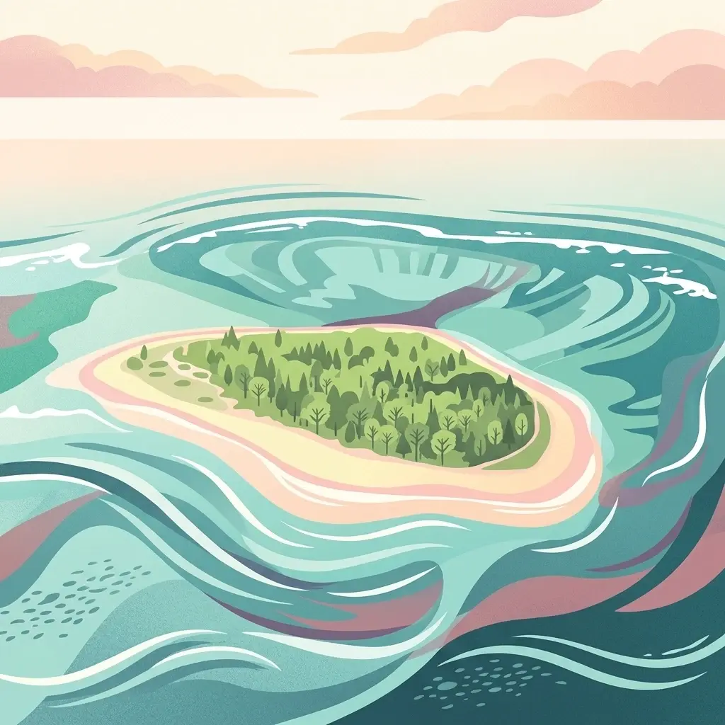
A stylized digital illustration of a small island with lush green vegetation surrounded by swirling blue ocean water and a soft sunset sky.
Protected areaMozambique
About 484 km away#20 closest

East

Primeiras and Segundas Islands Environmental Protected Area: Protected Landscape Geography

Mapped boundaries and atlas context in Mozambique.

Delve into the Primeiras and Segundas Islands Environmental Protected Area, a crucial protected area situated along Mozambique's Indian Ocean coast. This entry provides detailed geographic information, focusing on the park's mapped boundaries and its importance within the regional atlas. Understand the protected landscape's presence and its contribution to the mapped geography of Southeast Africa.

Distance methodology

Geographic measurements, not driving distances

How nearby park distances are calculated

Distances use park boundaries whenever the available geometry allows it. When one or both boundaries are missing, the mapped park locations provide a clearly labelled estimate. Every value represents straight-line geographic separation and does not use roads or routing.

Boundary distance

Calculated between the nearest points of both park boundaries.

Location-to-boundary estimate

Estimated from one mapped park location to the nearest boundary of the other park.

Mapped-location estimate

Estimated between the mapped locations of both parks.

MoriAtlas Explorer

Gorongosa National Park

Explore the map, landscapes, and protection details for Gorongosa National Park.