Mori Atlas logo
Nearby park discovery

Mapping the geographic proximity and regional distribution of surrounding protected sites.

Protected Areas and Natural Landscapes Situated near the Gusiny perelet Paleontological Monument

Examine the geographic distribution of protected natural areas located in the vicinity of Gusiny perelet. This regional survey allows for the analysis of surrounding protected landscapes and natural terrain across the Pavlodar Region. Use these geographic data to understand how the Gusiny perelet site sits within the broader network of protected lands in northeastern Kazakhstan.

Related tags

paleontological sitehipparion faunafossil localityneogene fossilsvertebrate fossils

Kazakhstan's classic Hipparion fauna fossil site along the Irtysh River

Gusiny Perelet

Gusiny Perelet is a paleontological natural monument located on the right bank of the Irtysh River within the city of Pavlodar, in northeastern Kazakhstan. It consists of an exposed geological section, roughly 200 to 800 meters long depending on the source, that contains the remains of animals belonging to the Hipparion fauna, an extinct community of mammals that lived several million years ago. The site's fossils are approximately 4 to 4.5 million years old, making it one of the most important Late Neogene fossil localities in Central Asia. The monument is best known for the remarkable diversity of its assemblage, which includes more than 60 vertebrate species representing classic Hipparion fauna animals such as Chilotherium, Sinotherium, Machairodus (saber-toothed cats), Lagomerix, Samotherium, and a wide variety of rodents. As a protected site of republican significance, it stands as both a scientific reference point for understanding Neogene mammal evolution in the region and a cultural landmark for the city of Pavlodar. In recent years, Gusiny Perelet has gained new public significance through the opening of an open-air museum on site in 2019, marking a transition from purely scientific excavation to public interpretation of one of Kazakhstan's most significant paleontological treasures.

Location
Kazakhstan
Park type
Natural monument
Established
1971
Gusiny Perelet Protected Area Geography
Regional park map

See the ranked park cluster in its geographic setting

Nearby parks around Gusiny Perelet

This regional map shows the same 20 nearby parks ranked below around Gusiny Perelet. Select a ranked marker to highlight that park’s boundary where boundary data is available.
Reference park: Gusiny PereletRanked nearby park20 nearby parks shown
20 nearby parks

Distance separation and regional geographic comparison signals for surrounding natural entities

Ranked Parks and Protected Areas Geographically Near Gusiny Perelet

Geographic distance measurements establish a structured ranking of protected areas surrounding Gusiny Perelet based on direct spatial proximity. Evaluating these neighboring locations provides valuable context for comparing regional park geography and surrounding landscape patterns.
A horizontal watercolor painting depicting a sparse forest in the midground and low hills in the background with a pale, misty sky.
Nature reservePavlodar Region
About 141 km away#1 closest

East

Ertis Ormany Nature Reserve: A Geographical Overview of Kazakhstan's Pine Belts

Protected forested corridors within the Kulunda Plain steppe.

Covering over 278,000 hectares, Ertis Ormany is a premier protected area in Kazakhstan's Pavlodar Region. The reserve manages unique ribbons of pine forest growing on sandy soils, forming an essential forest-steppe ecosystem that supports biodiversity and provides a natural barrier against desertification in the southwestern Kulunda Plain.

Area
2,779.61 km²
Established
2003
IUCN
VI
Relief
Lowland
National parkKazakhstan
About 177 km away#2 closest

Southwest

Bayanaul National Park: Kazakhstan's First National Park Mapped Landscape

Explore granite mountains, unique lakes, and striking rock formations.

Bayanaul National Park, situated in Kazakhstan's Pavlodar Province, represents a significant protected area renowned for its extraordinary granite mountain landscape. Established as the country's first national park, it showcases unique erosion-shaped rock formations, diverse vegetation including rare pines, and four significant freshwater lakes. This park offers a distinct visual tapestry of mountainous terrain and geological wonders within the broader Central Asian geography, making it a key destination for atlas-based discovery.

Area
684.53 km²
Established
1985
IUCN
II
Relief
Mountain
Watercolor illustration of a landscape with green forests, rolling hills, and distant mountains under a soft sky
National parkAkmola Region
About 270 km away#3 closest

West

Buiratau State National Nature Park: Kazakhstan National Park within Akmola Region

Explore unique steppe-forest transition ecosystems and geography.

Buiratau State National Nature Park in Kazakhstan's Akmola Region protects a significant transitional zone between dry steppe and semi-arid forest. This national park showcases a diverse landscape of low ridges, plains, and salt lakes, contributing to its rich biodiversity. Discover the mapped boundaries and the unique ecological character of this protected area within the context of the Kazakh Uplands atlas and its regional geography.

Area
890 km²
Established
2011
IUCN
II
Relief
Upland
A pale, soft-toned watercolor illustration of a winding stream moving through a grassy meadow with scattered trees and distant hills.
Nature reserveAbai Region
About 277 km away#4 closest

Southeast

Semey Ormany Nature Reserve: Protected Ribbon Pine Forests in Abai Region

Mapped forest corridors and steppe ecological boundaries.

Semey Ormany protects extensive ribbon pine forests that stretch through the sandy plains of the Abai Region. This reserve serves as a vital ecological buffer, bridging the gap between desert-like semi-steppes and dense woodland strips, home to diverse wildlife and rare plant communities across the Irtysh river basin.

Area
6,541.8 km²
Established
2003
IUCN
VI
Relief
Mixed relief
Watercolor illustration of a mountainous landscape with green hills, trees, and a river in the foreground
National parkKazakhstan
About 329 km away#5 closest

South

Karkaraly State National Nature Park: Kazakhstan's Mountain-Forest Protected Area

Discover unique geology, archaeology, and regional landscape context.

Delve into the distinctive protected landscape of Karkaraly State National Nature Park, situated in Kazakhstan's Karaganda Region. This park preserves a rare mountain-forest ecosystem with dramatic granite formations, ancient archaeological sites, and lakes, presenting a rich geographic contrast to the surrounding Kazakh Steppe. MoriAtlas provides structured insights into Karkaraly State National Nature Park's unique terrain, its conservation value, and its position within the broader regional geography of Central Asia.

Area
1,121.2 km²
Established
1998
IUCN
II
Relief
Mountain
Watercolor painting of a landscape with green forests, hills, and a body of water
National parkAqmola Region
About 424 km away#6 closest

West

Burabay State National Nature Park: Mapped Granite Hills and Forested Terrain Atlas

Explore protected landscapes in Kazakhstan's Aqmola Region.

Burabay State National Nature Park presents a unique protected landscape within the Kokshetau Massif of Kazakhstan's Aqmola Region. This atlas-focused entry details the park's distinctive terrain, featuring ancient granite outcrops and rolling hills draped in pine and birch forests. Understand the mapped boundaries and geographic setting of this national park, renowned for its scenic lakes and significant geological formations, offering rich context for protected-area discovery.

Area
1,299.35 km²
Established
2000
IUCN
II
Relief
Mixed relief
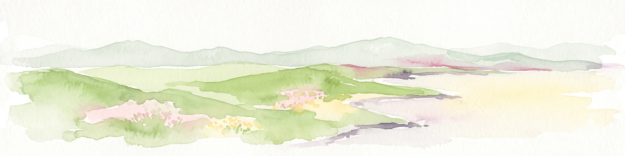
A pale, minimalist watercolor illustration of a soft, rolling landscape with light green and pink washes against a white background.
Wildlife reserveKaraganda Region
About 456 km away#7 closest

Southwest

Bugyly Sanctuary Wildlife Reserve and Protected Mountain Terrain in Karaganda Region

A protected zoological landscape in the heart of central Kazakhstan

Bugyly Sanctuary is a specialized wildlife reserve defined by its low mountain topography, rocky outcrops, and narrow stream-side groves. Situated in the Karaganda Region, the protected area functions as a vital refuge for argali sheep, roe deer, and various ground-nesting birds, standing as a testament to the diverse interior uplands of the Sarysu River basin.

Area
85 km²
Relief
Lowland
Water
Minor water
Watercolor illustration of a landscape with green hills, a body of water, and grassy foreground under a pink-hued sky
National parkAqmola Region
About 516 km away#8 closest

West

Kokshetau National Park: A Protected Granite Mountain and Forest-Steppe Landscape in Kazakhstan

Explore Aqmola Region's unique protected geography and mapped terrain.

Kokshetau National Park stands as a remarkable protected landscape within Kazakhstan, defined by its ancient granite mountains and its unique position as a forest-steppe island surrounded by open plains. This national park preserves a rich tapestry of boreal forests, lake-filled depressions, and geological wonders, including some of the planet's most ancient rock formations. MoriAtlas provides a structured view of Kokshetau National Park, detailing its mapped boundaries and geographic context within the Aqmola Region, offering users a deep dive into its protected area identity and ecological significance.

Area
1,821 km²
Established
1996
IUCN
II
Relief
Upland
A wide, panoramic watercolor illustration showing a mountain range with purple and yellow hues in the background, a green grassy meadow in the middle ground, and small pine trees and wildflowers in the foreground against a white background.
Nature reserveKazakhstan
About 546 km away#9 closest

East

West Altai State Nature Reserve: Protected Mountain Taiga and Alpine Geography in Kazakhstan

An ecological atlas of the Western Altai mountain system

Spanning the Ivanovsky and Uba ranges, this nature reserve protects a diverse terrain of mountain taiga, glacial cirques, and high-mountain bogs. It remains a key conservation landscape for Central Asian biodiversity, anchoring the headwaters of the Uba River within a striking environment of granite pillars and alpine meadows.

Area
861.22 km²
Established
1992
Relief
Mountain
Climate
Boreal
Nature reserveKaraganda Region
About 563 km away#10 closest

Southwest

Karaagash Nature Reserve: Granite Ridge Landscapes in Central Kazakhstan

Protected forest-steppe habitat in the Karaganda region

Karaagash Nature Reserve stands as a sentinel of central Kazakhstan's geography, protecting a rugged area where granite uplands meet ridge-and-valley plains. This reserve supports a diverse array of flora and fauna, offering a representative look at the forest-steppe transition zone and its role in regional conservation.

Area
68 km²
Established
1986
IUCN
IV
Relief
Mountain
Wildlife reserveAkmola Region
About 611 km away#11 closest

West

Atbasar Wildlife Reserve: Protected Steppe Grasslands and Wildlife Habitat in the Akmola Region

Mapping conservation landscapes of northern Kazakhstan

Explore the geographic scope of Atbasar Wildlife Reserve, a significant sanctuary in northern Kazakhstan. This protected area preserves key steppe ecosystems and habitat for marmots and migratory birds within a unique terrain of rocky spurs and open feather grass plains.

Area
751 km²
Established
1976
IUCN
IV
Relief
Upland
National parkEast Kazakhstan Region
About 615 km away#12 closest

Southeast

Tarbagatai National Park: Protected Landscape and Wild Fruit Tree Forests in East Kazakhstan Region

Explore the mapped boundaries and ecosystem of this national park.

Tarbagatai National Park is a protected area in East Kazakhstan recognized for its unique role in conserving wild fruit tree forests that have maintained genetic isolation. This national park provides a detailed view of a mountain-steppe ecosystem across the Tarbagatai mountain range, Karabas Mountains, and Arkaly Mountains, along with the Urzhar and Emel river valleys. Its establishment in 2018 highlights its importance for biodiversity and the study of natural forest genetics, offering significant geographic context for regional protected land exploration.

Area
1,364 km²
Established
2018
IUCN
II
Relief
Mountain
Watercolor painting of a river flowing through forested hills with mountains in the background under a sunset sky
National parkEast Kazakhstan Region
About 636 km away#13 closest

East

Katon-Karagay National Park: Discover Kazakhstan's Largest Protected Mountain Landscape

Explore the geography and park boundaries of East Kazakhstan's premier national park.

Katon-Karagay National Park, the largest national park in Kazakhstan, offers a deep dive into the protected landscapes of the Southern Altai Mountains. This page provides essential geographic context, detailing the park's terrain, its significance as a protected area within East Kazakhstan Region, and its role in mapping the natural contours of this ecologically diverse mountain system. Understand the park's boundaries and its contribution to regional conservation.

Area
6,435 km²
Established
2001
IUCN
II
Relief
Mountain
Watercolor painting showing a river flowing through a forested area with distant hills, using soft green, blue, and yellow tones
National parkAltai Krai
About 651 km away#14 closest

East

Salair National Park: Mapped Protected Landscape and Geographic Features in Altai Krai

Discover the unique dark taiga terrain and relict flora.

Salair National Park is a significant protected area in Altai Krai, Russia, renowned for its exceptionally biodiverse dark taiga forests, often called the "rainforest of Siberia." Established in 2020, the park spans the western slopes of the Salair Ridge, covering about 161,000 hectares of gentle low mountain terrain. Its landscape is characterized by rounded mountains, a network of ravines, and the preservation of pre-glacial relict plant species. This national park offers a vital contrast to the surrounding agricultural areas, highlighting its role in conserving unique Siberian forest ecosystems and their historic flora.

Area
1,612 km²
Established
2020
IUCN
II
Relief
Upland
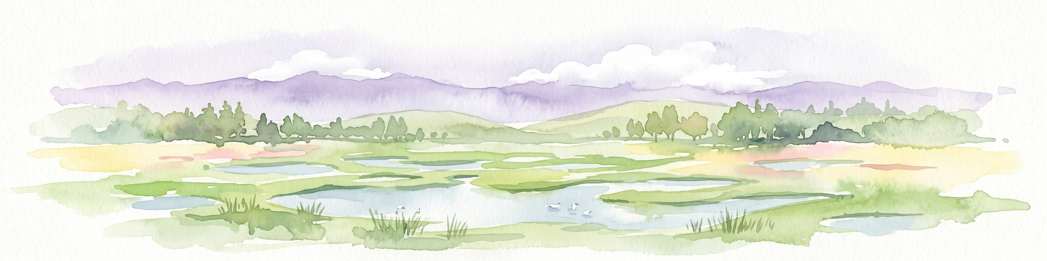
A watercolor painting showing a wide, marshy landscape with scattered pools of water, green vegetation, and distant soft purple hills under a pale sky.
Nature reserveAlmaty Region
About 689 km away#15 closest

South

Ile-Balkhash Nature Reserve: Protected Delta and Steppe Landscapes in Almaty Region

Central Asian conservation and regional geographic mosaic

Ile-Balkhash Nature Reserve protects the junction of the Ili River delta and the semi-arid plains of Lake Balkhash. As a major landscape restoration project, the reserve manages a complex terrain of river channels, flood meadows, and arid corridors, serving as an important site for regional wildlife recovery and ecological research in southeastern Kazakhstan.

Area
4,151.64 km²
Established
2018
IUCN
VI
Scope
Terrestrial
Natural monumentNorth Kazakhstan Region
About 706 km away#16 closest

West

Zhanazhol Pine Forest: Protected Natural Monument in North Kazakhstan Region

Mapped relict pine grove within the forest-steppe transition

Zhanazhol Pine Forest serves as a protected natural monument, preserving an isolated stand of mature Scots pine trees on sandy substrates. This site provides critical insights into the biogeography of the Ishim-Tobol interfluve, maintaining a distinct forest environment far from typical boreal ranges.

Area
0.09 km²
Relief
Lowland
Climate
Temperate
Access
Access unknown
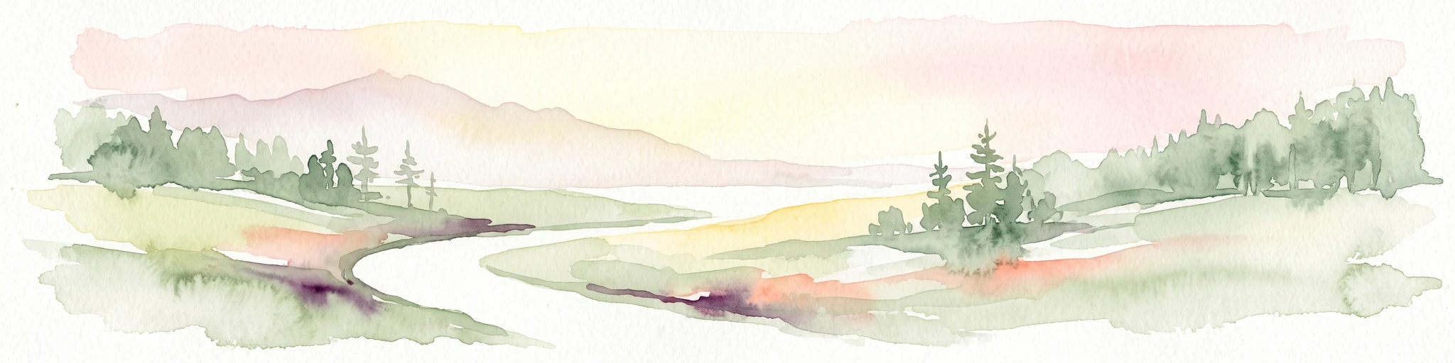
A soft watercolor painting of a serene river winding through a grassy valley toward distant hazy mountains, with evergreen trees dotting the landscape.
Nature reserveEast Kazakhstan Region
About 739 km away#17 closest

Southeast

Markakol Nature Reserve: Mapping the Protected Mountain Landscapes of East Kazakhstan

High-altitude glacial lake and alpine tundra ecosystems

Markakol Nature Reserve protects a remote tectonic depression within the Southern Altai. The area features a complex vertical zonation of fir and spruce forests, subalpine meadows, and alpine tundra, centered around the pristine and ecologically significant Lake Markakol. This protected site serves as a vital study of the intersection between Siberian boreal influences and high-mountain steppe biodiversity.

Area
1,029.71 km²
Established
1976
IUCN
Ia
Relief
Mountain
Protected areaKostanay Region
About 762 km away#18 closest

West

Koibagar-Tyntyugur Lakes: Protected Wetland Geography in Northern Kazakhstan

Steppe-wetland mosaic and Ramsar-recognized migratory habitat

Located in the Kostanay Region, the Koibagar-Tyntyugur Lakes represent a complex system of shallow, interconnected basins. These protected landscapes illustrate the dramatic hydrological cycles of the Saryarka edge, shifting from open water to reed-filled marshes. The region remains a benchmark for conservation, featuring essential waterbird habitats and rare fragments of pristine feather-grass steppe.

Area
623.45 km²
Established
2005
Relief
Lowland
Scope
Terrestrial
A soft watercolor illustration depicting a landscape of rolling green hills meeting a large body of water under a light sky.
Nature reserveKazakhstan
About 766 km away#19 closest

Southeast

Alakol Nature Reserve: Mapped Protected Landscapes and Wetland Geography in Kazakhstan

Protected lake basin and avian flyway conservation site.

Alakol Nature Reserve offers a deep look into the desert-wetland interface of southeastern Kazakhstan. Centered on the Tentek River delta and Lake Alakol islands, the reserve safeguards rare colonial bird habitats within a striking arid tectonic basin. Discover the geographic interplay between saline flats, riparian vegetation, and expansive lake environments that define this international conservation site.

Area
656.72 km²
Established
1998
IUCN
Ia
Relief
Lowland
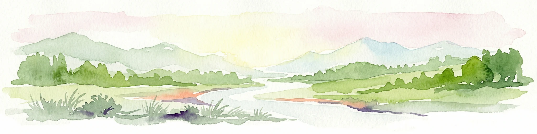
Watercolor painting of a river flowing through a valley with forested hills and distant mountains
National parkTashtagolsky District
About 776 km away#20 closest

East

Shorsky National Park: Protected Taiga and Karst Landscapes in Tashtagolsky District

Mapping the mountainous wilderness of southern Siberia

Shorsky National Park protects vast swathes of dark taiga forest and dramatic karst features across 4,180 square kilometers of rugged mountain terrain. Explore the geography of this Siberian region, featuring over 60 named caves, deep river valleys, and significant rock formations that define the natural character of the Tashtagolsky District.

Area
4,180 km²
Established
1989
IUCN
II
Relief
Mountain
Distance methodology

Geographic measurements, not driving distances

How nearby park distances are calculated

Distances use park boundaries whenever the available geometry allows it. When one or both boundaries are missing, the mapped park locations provide a clearly labelled estimate. Every value represents straight-line geographic separation and does not use roads or routing.

Boundary distance

Calculated between the nearest points of both park boundaries.

Location-to-boundary estimate

Estimated from one mapped park location to the nearest boundary of the other park.

Mapped-location estimate

Estimated between the mapped locations of both parks.

MoriAtlas Explorer

Explore the Paleontological Landscape and Geography of Gusiny Perelet

Delve into the mapped boundaries and natural features of Gusiny Perelet, a significant paleontological landmark in Kazakhstan. MoriAtlas provides a clear view of its riverbank geological exposure and surrounding Pavlodar steppe context, helping you understand this protected monument through its unique place in the regional atlas.