Mori Atlas logo
Nearby park discovery

Regional landscape mapping and geographic distribution of surrounding protected terrain

Parks near Hohe Tauern National Park

Compare protected areas near Hohe Tauern National Park, ordered by geographic distance. They include Hohe Tauern National Park and Berchtesgaden National Park.

Stylized illustration of a mountain range with glaciers, a winding river, and coniferous forest

Austria's largest alpine wilderness preserve

Hohe Tauern National Park

Hohe Tauern National Park is Austria's largest protected area and one of the most significant nature reserves in the Central Eastern Alps. Established in 1981, the park encompasses a vast expanse of pristine alpine terrain spanning the federal states of Carinthia, Salzburg, Tyrol, and East Tyrol. The protected area safeguards some of the most spectacular high-mountain landscapes in the Alps, including rugged peaks, extensive glacier systems, deep glacial valleys, and pristine alpine meadows. The park forms part of a transboundary ecological network connecting Alpine habitats and serves as a critical refuge for endemic alpine species and sensitive ecosystems. Its designation reflects Austria's commitment to preserving the ecological integrity of its most iconic mountain landscapes for future generations.

Location
Austria
Park type
National park
Established
1981
Area
1,806 km²
Hohe Tauern National Park Geography
Regional park map

See the ranked park cluster in its geographic setting

Nearby parks around Hohe Tauern National Park

This regional map shows the same 19 nearby parks ranked below around Hohe Tauern National Park. Select a ranked marker to highlight that park’s boundary where boundary data is available.
Reference park: Hohe Tauern National ParkRanked nearby park19 nearby parks shown
19 nearby parks

Distance-ranked collection and regional park geography surrounding Hohe Tauern

Parks and Protected Areas Geographically Near Hohe Tauern

Examine the ranked collection of protected areas situated geographically near Hohe Tauern based on direct boundary measurements. Compare surrounding regional landscapes and environmental attributes to understand broader ecological patterns across the Central Alps.
An illustration of a green mountain valley with pine trees, a wire fence in the foreground, and snow-capped peaks in the background under a soft sunrise.
National parkAustria
Mapped location lies within the park boundary#1 closest

Southwest

Hohe Tauern National Park: Regional Geography and Protected Alpine Mountain Terrain

Major protected area in the heart of the Austrian Alps

Hohe Tauern National Park protects a grand scale of alpine terrain, including towering summits above 3,000 meters and the longest glacial systems in the country. This atlas record provides insights into the park's vertical landscape, encompassing glacial valleys, waterfalls, and diverse ecological zones that define the High Tauern mountain range in Austria.
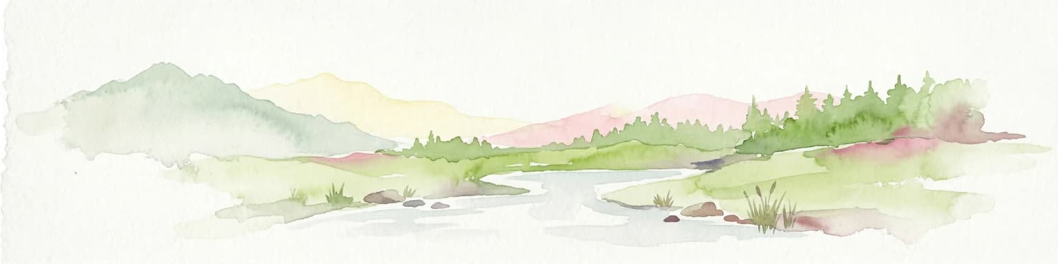
Watercolor illustration showing mountain ranges, forests, and a river under a light sky.
National parkBavaria
About 46 km away#2 closest

North

Berchtesgaden National Park

Mapped natural terrain and protected area exploration.

Berchtesgaden National Park, in Bavaria, Germany. Landscapes: mountains, valleys, and lakes.

Area
210 km²
Established
1978
IUCN
II
Relief
Mountain
A pale, minimalist watercolor illustration of layered mountain silhouettes in the background and a green, forested foreground.
Nature reserveTyrol
About 63 km away#3 closest

Northwest

Kaiser Mountains Nature Reserve: Alpine Limestone Landscapes and Regional Geography in Tyrol

A comprehensive look at the Wilder Kaiser and Zahmer Kaiser ridges

The Kaiser Mountains stand as a monumental feature within the Northern Limestone Alps. This nature reserve offers a unique geographic profile, from sheer, pale Wetterstein limestone walls to broad alpine pastures and pine-covered ridges. Its radial drainage patterns and self-contained massif structure provide an essential case study for understanding the diverse mountain terrain that defines the heart of the Austrian Tyrol.

Area
102 km²
Established
1963
Relief
Mountain
Climate
Alpine
A stylized digital illustration of a mountain range featuring green forests in the foreground and towering, jagged peaks in the background under a soft sky.
Nature reserveGermany
About 68 km away#4 closest

North

Naturwald Kraxenbach: Protected Montane Forest and Alpine Landscape Geography in Bavaria

A comprehensive look at a protected Bavarian mountain reserve

Naturwald Kraxenbach offers a deep dive into the montane ecosystems of the German-Austrian border. This nature reserve protects over 200-year-old forest stands and distinct holly habitats within the steep valleys of the Chiemgauer Alps, providing an essential study of natural forest development in a historical forestry region.

Area
18.01 km²
Established
2020
Relief
Mountain
Climate
Alpine
A watercolor painting showing a wide, panoramic view of rolling, grassy mountain slopes with soft pastel colors and small evergreen trees.
Protected landscapeCarinthia
About 77 km away#5 closest

East

Nock Mountains National Park: Mapping the Rounded Alpine Summits and Glacial Terrain of Carinthia

A protected alpine landscape and UNESCO Biosphere Reserve in the Austrian Alps

Discover the geographic character of Nock Mountains National Park, where the Gurktal Alps transition into sweeping, grass-covered dome summits. This protected area offers a look at a unique Tertiary land surface that survived the last Ice Age, supporting a mosaic of larch forests, alpine pastures, and high-altitude lakes that define the regional geography of southern Austria.

Area
184 km²
Established
1987
IUCN
V
Relief
Mountain
Watercolor illustration showing a mountainous landscape with a waterfall, green hills, and layered colors
National parkProvince of Belluno
About 95 km away#6 closest

Southwest

Dolomiti Bellunesi National Park

Explore mapped boundaries and regional geography

Dolomiti Bellunesi National Park, in Province of Belluno, Italy. Landscapes: mountains, valleys, and cliffs.

Area
32 km²
Established
1988
IUCN
II
Relief
Mountain
Watercolor illustration of a river flowing through a forested valley with mountains in the background
National parkSlovenia
About 96 km away#7 closest

Southeast

Triglav National Park: A Mapped Alpine Protected Landscape in Slovenia

Julian Alps geography, glacial lakes, and karst terrain.

Triglav National Park is Slovenia's premier protected area, covering 880 square kilometers of the Julian Alps. This page details its dramatic alpine geography, including Mount Triglav, glacial valleys, and significant karst features. Understand the mapped boundaries and landscape context of this national park, a key entry in the MoriAtlas geographic discovery resource for understanding protected lands.

Area
880 km²
Established
1981
IUCN
II
Visitors
1.6M annual
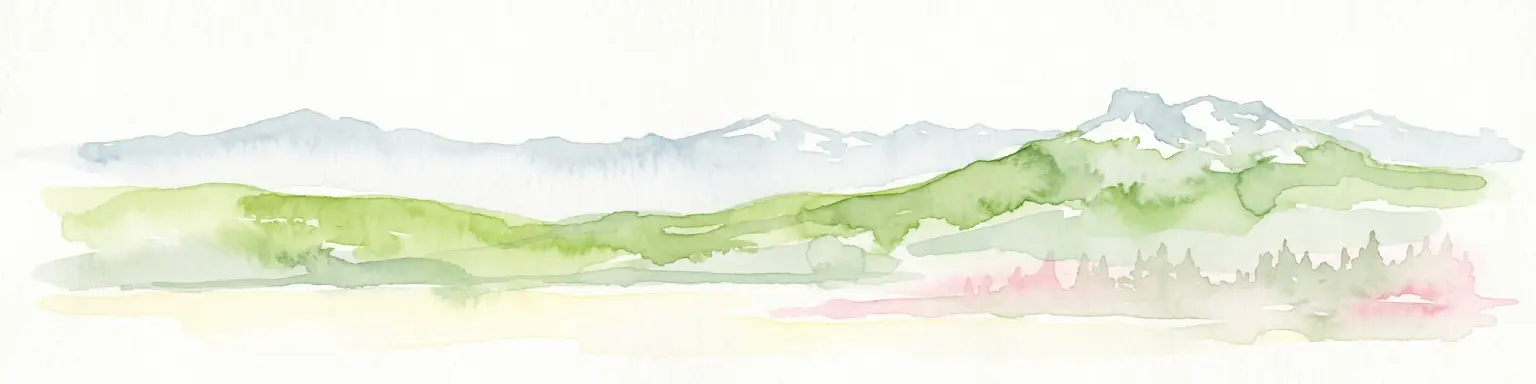
A soft watercolor illustration showing a panoramic view of mountain ridgelines in muted green, blue, and faint pink tones against a white background.
Nature reserveSalzkammergut
About 100 km away#8 closest

Northeast

Loser Plateau Nature Reserve: Alpine Karst Geography in the Salzkammergut Mountain Range

Protected high alpine plateau and extensive karst systems

The Loser Plateau is a distinctive high-altitude nature reserve in the Salzkammergut region of Austria. This protected area features expansive limestone pavements, complex karst sinkholes, and massive mountain crags that dominate the skyline above Lake Altaussee. It provides a unique window into high alpine geology, showcasing fossil-rich layers and an intricate network of documented cave systems that rank among the most significant in the Eastern Alps.

Area
12 km²
Relief
Mountain
Climate
Alpine
Access
Easy access
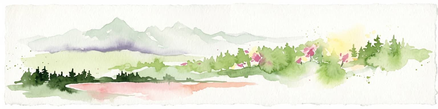
A horizontal watercolor painting showing a range of light-colored, jagged mountain peaks in the background with a green coniferous forest and a small body of water in the foreground.
Nature reserveTyrol
About 121 km away#9 closest

West

Arnspitze Group Nature Reserve: Mapped Limestone Ridge and Alpine Geography

A historic protected massif in the Austrian Tyrol.

The Arnspitze Group represents a vital limestone ridge ecosystem within the Northern Limestone Alps. This nature reserve, spanning the border region, displays significant karst formations and forested slopes. Gain insight into the ridge layout, summit heights, and the protected status that defines this essential Tyrolean mountain chain through detailed map-based discovery.

Area
12.5 km²
Established
1942
Relief
Mountain
Climate
Alpine
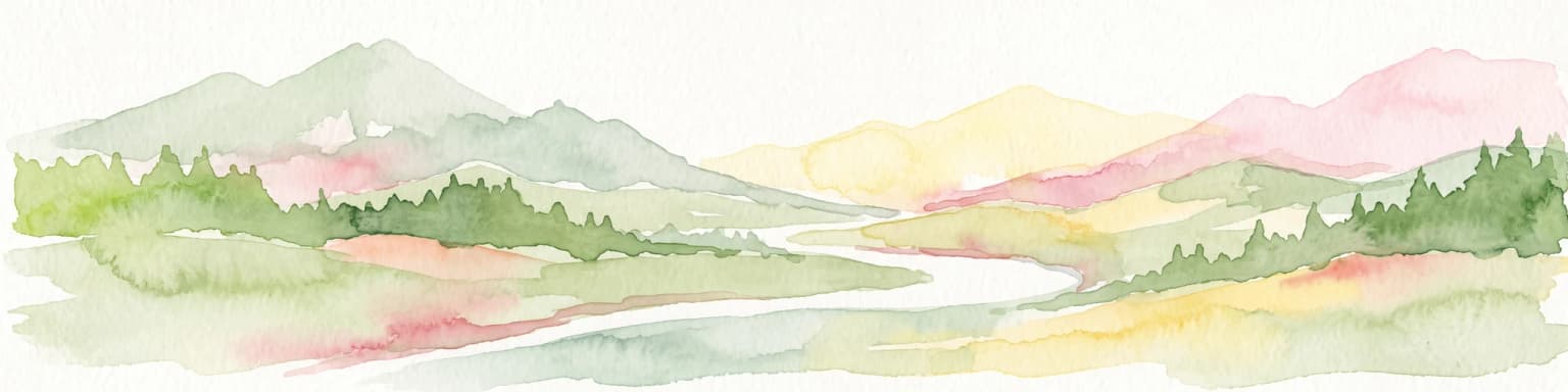
A watercolor painting showing a panoramic view of soft mountain ridges and evergreen forests flanking a winding valley stream.
Nature reserveOberbayern
About 123 km away#10 closest

West

Schachen und Reintal: A Protected Alpine Landscape in the Wetterstein Mountains

Geographic atlas and nature reserve mapping for Oberbayern

Spanning from the Zugspitzplatt to the rugged Jubiläumsgrat, Schachen und Reintal serves as a vital nature reserve in the Bavarian Alps. The area preserves a wide topographical gradient of limestone terrain, river-carved gorges, and pristine forests, providing an essential look at the protected high alpine geography of the Wetterstein range.

Area
39.636 km²
Established
1970
IUCN
IV
Nature reserveOberbayern
About 126 km away#11 closest

West

Naturwaldreservat Wettersteinwald: Protected Nature Reserve and Alpine Forest Geography

Oberbayern, Germany; subalpine forest conservation and limestone mountain terrain

Uncover the ecological structure of Naturwaldreservat Wettersteinwald, one of the oldest nature forest reserves in the Bavarian Alps. Located on steep Wetterstein limestone, the area encompasses a compact mosaic of spruce and stone pine, protecting essential habitat for rare saproxylic beetle species within its defined 42 hectare boundaries.

Area
0.426 km²
Established
1978
Relief
Mountain
Climate
Alpine
Watercolor painting depicting layered mountain ranges, forests, and water bodies in green and pink tones
National parkUpper Austria
About 133 km away#12 closest

Northeast

Kalkalpen National Park

Explore mapped boundaries and unique alpine terrain.

Kalkalpen National Park, in Upper Austria, Austria. Landscapes: mountains, forests, and karst.

Area
208.25 km²
Established
1997
IUCN
II
Relief
Mountain
A horizontal watercolor illustration of a landscape with green pine trees in the foreground, a pale yellow meadow, and soft purple and green rolling mountains in the background against a white background.
Nature reserveBavaria
About 134 km away#13 closest

Northwest

Schellenbergmoor Nature Reserve: Geographic Mapping of Bavarian Pre-Alpine Wetland Landscapes

Protected peatland terrain in the Tölzer Moorachse corridor

Schellenbergmoor functions as a protected nature reserve situated in the pre-Alpine hill and moorland zone of Upper Bavaria. This site preserves rare raised and transitional bog habitats, serving as a critical node for hydrology and ecosystem connectivity between Lake Starnberg and the Loisach river basin.

Established
1987
A watercolor painting of a panoramic mountain landscape with soft green forest hills in the foreground and faded, hazy mountain peaks in the background.
Protected areaStyria
About 135 km away#14 closest

East

Zirbitzkogel Protected Area: Mapping the Alpine Landscapes and Glacial Terrain of the Seetal Alps

High mountain geography and protected terrain in Styria, Austria

Zirbitzkogel represents the highest point of the Seetal Alps, characterized by crystalline geology, slate, and gneiss. The landscape features a clear progression from subalpine spruce and larch forests to broad, level summit plateaus covered in ragged sedge grasslands. Beyond its alpine vegetation and glacial tarns, the area serves as a critical protected habitat for diverse alpine fauna, offering an ideal setting for understanding regional alpine ecology and complex mountain landforms.

Established
2006
Relief
Mountain
Climate
Alpine
Access
Easy access
A horizontal watercolor painting showing a meadow-like bog landscape with light green and yellow ground cover, scattered small trees, and a background of rolling hills and forested ridges in shades of green and soft pink.
Nature reserveTrentino-Alto Adige
About 137 km away#15 closest

Southwest

Biotopo Palù Longa Nature Reserve: Mapped Peatland and Alpine Geography in Trentino-Alto Adige

Protected watershed habitat featuring Sphagnum moss and diverse alpine plant communities

Located in the Trentino-Alto Adige region, Biotopo Palù Longa is a protected nature reserve defined by its rare Alpine peatland character. The area encompasses 6 hectares of wetland, including open bog pools, wet meadows, and sedge-dominated terrain. This site offers valuable insight into the ecological preservation of fragile mountain microhabitats, illustrating the intersection of forested slopes and historic peat-forming basins.

Area
0.061 km²
Established
1987
Relief
Highland
Climate
Alpine
A digital illustration depicting mountain peaks covered in pine forest under a soft, sunset-colored sky.
Nature reserveBavaria
About 140 km away#16 closest

West

Naturwald Kramer Nature Reserve: Protected Alpine Forest Boundaries in Bavaria

Mapping natural forest dynamics across the Ammergauer Alps

Naturwald Kramer represents a major forest protection zone in the Bavarian Alps. This area spans a rugged vertical mosaic of mountain mixed forests and snow heath pine woodlands on dolomite bedrock, providing essential insight into non-intervention forestry and diverse alpine mountain terrain.

Area
15.91 km²
Established
2020
IUCN
IV
Digital illustration of a mountain valley featuring rugged peaks, a small wooden cabin in a meadow, and coniferous forests at sunset.
National parkStyria
About 144 km away#17 closest

East

Gesäuse National Park

Explore Austria's dramatic river gorge and rugged peaks.

Gesäuse National Park, in Styria, Austria. Landscapes: mountains, valleys, and rivers.

Area
110 km²
Established
2002
IUCN
II
Relief
Mountain
A stylized vector illustration showing a meadow with shallow pools of water, a thin wooden fence, and a backdrop of dense evergreen trees under a soft sky.
Nature reserveTrentino-Alto Adige
About 150 km away#18 closest

Southwest

Biotopo Prati di Monte: Nature Reserve and Protected Alpine Landscape Discovery

Geographic overview of the Dossone di Cembra alpine ridge

Biotopo Prati di Monte represents a protected nature reserve in Trentino-Alto Adige, known for its unique concentration of peatland habitats. The area encompasses the remnant Lago di Valda basin, acidic spruce forests, and diverse wetland meadows. This atlas-focused perspective highlights the reserve as a significant refugium for sub-arctic flora situated along the porphyritic mountain terrain between the Val di Cembra and the Bassa Atesina.

Area
0.06 km²
Established
1994
IUCN
IV
Watercolor painting of a mountain range with a lake, green hills, and a sunset sky
National parkTrentino-Alto Adige/Südtirol
About 152 km away#19 closest

West

Stelvio National Park National Park: Protected Landscape and Regional Geographic Context

Explore its mapped boundaries and natural terrain.

Navigate Stelvio National Park, a designated national park in Italy's Trentino-Alto Adige/Südtirol region, through a map-centric lens. This page provides critical context for understanding the park's protected landscape, its geographic position within the Alps, and its mapped terrain. Utilize MoriAtlas to grasp the park's boundaries and its place in regional geography for structured natural landscape discovery.

Established
1935
IUCN
II
Relief
Mountain
Scope
Terrestrial
Distance methodology

Geographic measurements, not driving distances

How nearby park distances are calculated

Distances use park boundaries whenever the available geometry allows it. When one or both boundaries are missing, the mapped park locations provide a clearly labelled estimate. Every value represents straight-line geographic separation and does not use roads or routing.

Boundary distance

Calculated between the nearest points of both park boundaries.

Location-to-boundary estimate

Estimated from one mapped park location to the nearest boundary of the other park.

Mapped-location estimate

Estimated between the mapped locations of both parks.

MoriAtlas Explorer

Hohe Tauern National Park

Explore the map, landscapes, and protection details for Hohe Tauern National Park.

Global natural geography