Mori Atlas logo
Nearby park discovery

Map-based regional discovery of nearby protected landscapes and natural terrain

Protected Areas and National Parks in the Geographic Region of Kaboré Tambi National Park

Examine the geographic distribution of protected lands surrounding Kaboré Tambi National Park in Burkina Faso. This analysis highlights regional park boundaries, landscape continuity, and the spatial relationship between diverse savanna ecosystems and their proximity to neighboring conservation sites.

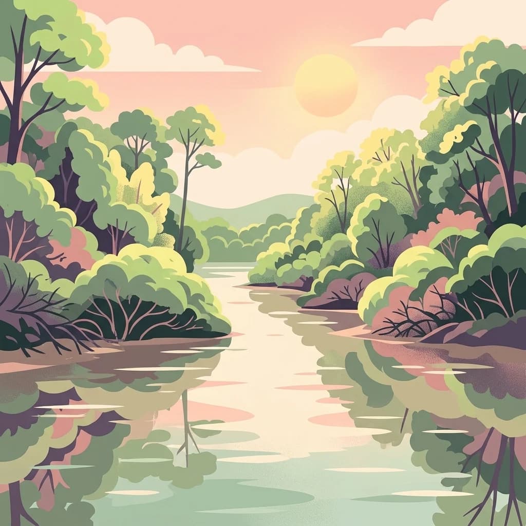
Illustrated desert landscape featuring a river flowing through canyons with rocky cliffs and diverse vegetation under a sun in the sky

Burkina Faso's flagship protected savanna reserve along the Nazinon River

Kaboré Tambi National Park

Kaboré Tambi National Park is Burkina Faso's largest and most ecologically significant national park, protecting a sprawling expanse of Sudan-Guinea savanna in the central-southern region of the country. The park stretches across approximately 1,555 square kilometers of protected terrain, following the winding course of the Nazinon River (also known as the Red Volta) as it flows eastward toward Ghana. Established in 1976 under the name Pô National Park, the reserve was renamed in 1996 to honor Kaboré Tambi, a park ranger who was tragically killed by poachers in 1991 while defending the area's wildlife. The park serves as a critical biodiversity stronghold in a region where protected habitat is limited, sheltering diverse woodland ecosystems, seasonal wetlands, and riparian forests that support substantial populations of birds and other wildlife. Its location between Ouagadougou and the Ghana border makes it one of Burkina Faso's most accessible and visited protected areas.

Location
Burkina Faso
Park type
National park
Established
1976
Area
1,555 km²
Kaboré Tambi National Park Atlas
Regional park map

See the ranked park cluster in its geographic setting

Nearby parks around Kaboré Tambi National Park

This regional map shows the same 18 nearby parks ranked below around Kaboré Tambi National Park. Select a ranked marker to highlight that park’s boundary where boundary data is available.
Reference park: Kaboré Tambi National ParkRanked nearby park18 nearby parks shown
18 nearby parks

Distance-ranked regional park geography and surrounding protected landscapes

Parks and Protected Areas Geographically Near Kaboré Tambi National Park

Geographic proximity measurements establish a structured ranking of surrounding protected areas relative to Kaboré Tambi National Park boundaries. Analyzing these adjacent territories reveals broader regional conservation patterns and environmental variations across the surrounding terrain.
Watercolor illustration showing a calm river flowing through a soft landscape with distant rolling hills and light vegetation.
Wildlife reserveBurkina Faso
About 80 km away#1 closest

East

Lac de Bagré Wildlife Reserve: Mapping the Inland Reservoir of Central Burkina Faso

A critical wetland site within the Nakambé River valley.

Lac de Bagré acts as a major freshwater reservoir, stretching through the Boulgou and Zoundwéogo provinces of Burkina Faso. This artificial lake, created by the Bagré Dam, supports a unique ecological profile as a Ramsar-recognized wetland, offering a deep look into the intersection of hydrological infrastructure and protected Sahelian landscapes.

Area
367.93 km²
Established
1992
Water
Water-dominated
A soft, light-toned watercolor painting of a river flowing through a park or nature reserve with gentle hills and scattered trees in the background.
Nature reserveOubritenga
About 106 km away#2 closest

North

Forêt classée de Gonsé Nature Reserve: Protected Landscape and Geographic Atlas Record

Sudano-Sahelian woodland and Massili River floodplain context

Examine the protected landscape of Forêt classée de Gonsé, a nature reserve in the Oubritenga region of Burkina Faso. This record details the park's savanna recovery, riverine habitats, and the legacy of its reforestation history as part of the West African Sudano-Sahelian interface.

Relief
Lowland
Climate
Subtropical
Access
Easy access
Scope
Terrestrial
Wildlife reserveUpper West Region
About 135 km away#3 closest

Southwest

Gbele Resource Centre Wildlife Reserve: A Regional Atlas of Protected Savanna Landscapes

Mapped geography and protected woodland in Ghana

Gbele Resource Centre represents one of the most substantial protected savanna landscapes in northwestern Ghana, spanning over 500 square kilometres of Sudano-Sahelian woodland. The terrain is defined by the seasonal Kulpawn River and a distinct composition of African baobab and sycamore fig trees, which together anchor an important ecological corridor. This reserve provides a vital opportunity to map and understand the conservation geography and avian diversity that distinguish the Upper West Region from other parts of the country.

Area
565 km²
Relief
Lowland
Scope
Terrestrial
Water
Minor water
A stylized digital illustration of a scenic overlook looking out over a vast forest canopy under a pastel-colored sunset sky.
National parkSavannah Region
About 148 km away#4 closest

South

Mole National Park

Explore mapped boundaries and Guinea savannah ecosystems.

Mole National Park, in Savannah Region, Ghana. Landscapes: grasslands, woodlands, and cliffs.

Area
4,840 km²
Established
1958
IUCN
II
Visitors
17.8K annual
National parkBurkina Faso
About 171 km away#5 closest

West

Deux Balés National Park: Burkina Faso's Elephant Sanctuary and Savanna Protected Landscape

Explore mapped terrain and key geographic features of this protected area.

Deux Balés National Park serves as a vital protected area within Burkina Faso, acclaimed for harboring the largest elephant population in West Africa. This national park's protected landscape is defined by undulating granitic plains, lateritic plateaux, and distinct gallery forests lining the Black Volta River. The presence of ancient African baobab trees adds a unique visual character to the savanna ecosystem. Investigating this park reveals its significance for regional conservation, its mapped geographic boundaries, and its role within the broader context of protected lands in West Africa.

Area
810 km²
Established
1937
IUCN
II
Relief
Lowland
National parkSavanes Region
About 189 km away#6 closest

Southeast

Fosse aux Lions National Park: National Park Exploration in Togo's Savanes Region

Mapped protected area geography and landscape context.

Fosse aux Lions National Park represents a distinct protected landscape within the Savanes Region of Togo. This entry focuses on its identity as a national park, providing structured information on its geographic placement and mapped boundaries. It serves as a core element for understanding the distribution of protected areas and the specific natural terrain within this region of Togo, aiding in comprehensive atlas-style exploration.

Area
16.5 km²
Established
1954
IUCN
II
Relief
Lowland
A watercolor painting showing a small boat floating on a calm body of water with gentle, rolling green hills in the background.
Protected areaBam Province
About 205 km away#7 closest

North

Lac Bam Protected Area: Regional Landscape Map and Geography of Bam Province

Ecological transition zone and natural freshwater reservoir

Lac Bam serves as a critical freshwater site and natural reservoir within the Sahelian-Sudanian transition zone of Burkina Faso. This protected area supports a mosaic of wooded savanna, wetland margins, and open water, defining the hydrology of the surrounding Bam Province. Analyze the landscape dynamics and broad catchment characteristics of this significant inland water system through our integrated geographic dataset.

Area
30 km²
Relief
Lowland
Scope
Terrestrial
Water
Water-dominated
A stylized flat-design illustration of a small wooden boat moored in a grassy wetland with a calm lake and distant treeline under a soft sunset sky.
Protected areaKompienga Province
About 227 km away#8 closest

East

Lac de la Kompienga: Geography and Mapped Protected Landscapes in Kompienga Province

A landmark hydroelectric reservoir and wetland habitat

Lac de la Kompienga constitutes a primary water resource and ecological site within the dry savanna of Burkina Faso. This artificial reservoir creates a vital wetland mosaic, supporting diverse aquatic birdlife and fisheries while functioning as a critical component of the regional Volta Basin hydrology. The site captures the transition between engineered water management and the natural dry woodland ecosystems characteristic of the Est Region.

Area
175.45 km²
Established
1988
Relief
Lowland
Scope
Terrestrial
Wildlife reserveUpper West Region
About 242 km away#9 closest

Southwest

Wechiau Community Hippo Sanctuary: Protected River Landscapes and Savanna Wildlife Reserve

Upper West Region, Ghana: Riverine ecology and community-managed boundaries

Wechiau Community Hippo Sanctuary encompasses a protected stretch of the Black Volta, providing essential habitat for hippopotamuses in northwestern Ghana. This wildlife reserve features a diverse landscape of riverine forests, sandbanks, and savanna trails. The sanctuary demonstrates how local traditional governance maintains critical natural terrain while fostering an integrated cultural and ecological landscape.

Established
1999
Relief
Lowland
Scope
Terrestrial
Water
Major water bodies
A flat vector illustration of an African savanna landscape with red earth, tall dry grasses, scattered shrubs, and two prominent baobab trees under a hazy, pale sky.
National parkKara Region
About 263 km away#10 closest

Southeast

Oti-Kéran National Park: Togo's Vast Protected Savanna Ecosystem and Regional Geography

Explore the mapped terrain and protected landscape of this key national park.

Delve into the geography of Oti-Kéran National Park, Togo's largest national park situated in the Kara Region. This protected savanna landscape, recognized as a Ramsar site, offers insights into its unique sudanian zone terrain, important bird habitats, and its function as a wildlife migration corridor. Understanding its mapped boundaries and ecological significance provides a core piece of the West African protected areas atlas.

Area
690 km²
Established
1950
IUCN
II
Relief
Lowland
A watercolor painting showing a wide, panoramic landscape featuring dry, open terrain, low rolling hills in the background, and sparse vegetation, including distinctive baobab trees.
National parkBenin
About 279 km away#11 closest

East

Pendjari National Park: Mapping Benin's Primary Protected Savanna Ecosystem and Wilderness

Located in northwestern Benin, bordering the WAP transboundary complex.

Pendjari National Park represents a significant conservation landscape in West Africa, featuring a complex geography of river-fed riparian forests, sprawling savanna plains, and the high-elevation cliffs of the Atakora mountain range. This protected area offers a look into an intact savanna wilderness, serving as a vital sanctuary for large mammals and diverse bird species within its clearly defined boundaries.

Area
2,755 km²
Established
1961
IUCN
II
Visitors
7K annual
Watercolor illustration of a landscape with green fields, trees, and a body of water
National parkIvory Coast
About 306 km away#12 closest

Southwest

Comoé National Park

Mapping the transitions of West Africa's largest protected savanna ecosystem.

Comoé National Park, in Ivory Coast. Landscapes: valleys, rivers, and wetlands.

Area
11,500 km²
Established
1983
IUCN
II
Relief
Lowland
An illustration of a calm river flowing through trees under a soft sunrise or sunset sky with rolling hills in the background.
National parkTapoa Province
About 315 km away#13 closest

East

Arli National Park

Explore its geographic context and boundaries.

Arli National Park, in Tapoa Province, Burkina Faso. Landscapes: forests, rivers, and woodlands.

Area
760 km²
Established
1954
IUCN
IV
Relief
Upland
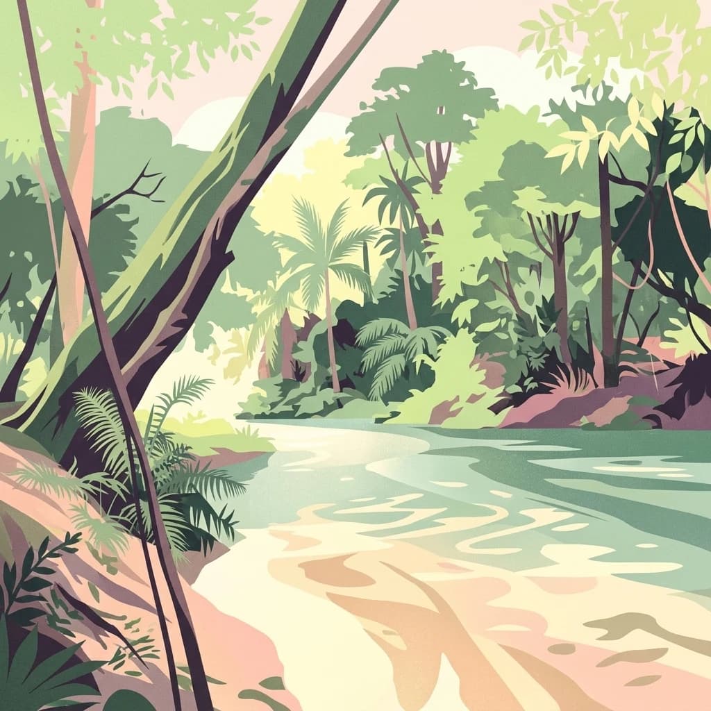
A digital illustration of a lush river flowing through a dense forest with tall trees and palm-like vegetation.
Protected areaBurkina Faso
About 332 km away#14 closest

West

Forêt classée de Kou: Protected Gallery Forest and Riverine Geography in Burkina Faso

A compact biodiversity refuge near Bobo-Dioulasso

Forêt classée de Kou stands as a vital example of Guinean-type forest preservation in Burkina Faso. This protected area features a complex mosaic of dense gallery woodland along the Kou and Guinguette rivers, transitioning into arborescent savanna. With its layered canopy, riverine corridors, and documented avian richness, it serves as a critical geographic marker of humid woodland in the broader Sudano-Sahelian terrain.

Area
1.15 km²
Established
1951
Climate
Tropical
Access
Easy access
A watercolor painting showing soft, rolling hills with hints of trees in muted green, yellow, and pink tones against a white background.
Protected areaSahel Region
About 332 km away#15 closest

Northeast

Lac Higa Protected Area: Wetland Geography and Sahel Region Landscape Mapping

A vital freshwater ecosystem in northeastern Burkina Faso.

Explore the spatial characteristics of Lac Higa, a permanent wetland and protected area in the Sahel Region of Burkina Faso. This atlas entry details the lake basin, the Yali River connection, and the surrounding shrub savanna terrain, providing essential context for this unique hydrological and biological site.

Area
15.14 km²
Relief
Lowland
Climate
Arid
Scope
Terrestrial
A stylized vector-style illustration of a winding river flowing through a lush landscape with tall grasses in the foreground, trees along the banks, and a soft-colored sunset sky.
National parkNiger
About 356 km away#16 closest

East

W National Park: Niger National Park, UNESCO World Heritage Site & Ramsar Wetland

Transborder savanna ecosystem and dramatic Niger River landscape.

W National Park in Niger offers a unique atlas view of a vast protected landscape defined by the Niger River's iconic W-shaped bend. As a UNESCO World Heritage Site and Ramsar Wetland, it protects crucial savanna plains, extensive floodplains, and rocky outcrops. This transborder conservation area is a vital habitat for West African wildlife, providing a rich context for geographic discovery and landscape exploration.

Area
10,000 km²
Established
1954
IUCN
II
Relief
Mixed relief
An illustration showing a large, steep, green mountain rising above a river with bare, submerged tree branches in the foreground.
National parkGhana
About 364 km away#17 closest

South

Bui National Park: Protected Savanna Landscape and Black Volta River Geography in Ghana

Explore the mapped boundaries and unique ecosystems of this national park.

Bui National Park, a protected national park in Ghana, offers a rich geographic discovery of savanna ecosystems bisected by the Black Volta River. Its vast mapped area provides a unique setting for understanding riparian corridors, woodland savanna, and mountainous terrain. The park is critically important for its significant hippopotamus population and its designation as an Important Bird Area, showcasing its ecological value. Exploration of Bui National Park provides insight into Ghana's protected landscapes and their strategic position within West African geography, serving as a key entity for any natural atlas.

Area
1,820 km²
Established
1971
IUCN
II
Relief
Mixed relief
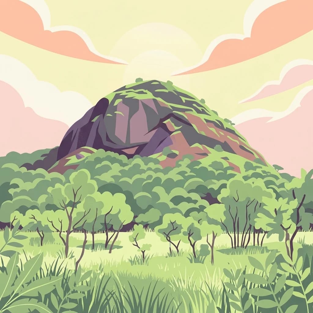
A flat-style digital illustration showing a prominent rocky hill covered in sparse green vegetation, rising above a forest canopy and grassy foreground under a pale pink and yellow sunset sky.
National parkTogo
About 379 km away#18 closest

Southeast

Fazao-Malfakassa National Park: Togo's Expansive Protected Mountainous Terrain and Forest Refuge

Explore a unique West African national park with diverse ecosystems and vital conservation importance.

Fazao-Malfakassa National Park stands as Togo's largest national park, a protected expanse of mountainous terrain in the eastern highlands crucial for regional conservation. This wilderness area shelters significant forest ecosystems and serves as a vital watershed, contributing to the ecological integrity of West Africa. Its diverse landscape, characterized by rugged ridges and valleys, offers a unique insight into Togo's protected natural heritage and its role as a biodiversity corridor.

IUCN
II
Scope
Terrestrial
Distance methodology

Geographic measurements, not driving distances

How nearby park distances are calculated

Distances use park boundaries whenever the available geometry allows it. When one or both boundaries are missing, the mapped park locations provide a clearly labelled estimate. Every value represents straight-line geographic separation and does not use roads or routing.

Boundary distance

Calculated between the nearest points of both park boundaries.

Location-to-boundary estimate

Estimated from one mapped park location to the nearest boundary of the other park.

Mapped-location estimate

Estimated between the mapped locations of both parks.

MoriAtlas Explorer

Continue Exploring Kaboré Tambi National Park's Geographic and Landscape Context

Further explore Kaboré Tambi National Park to understand its role as a protected natural landscape within Burkina Faso's regional geography. Delve into its mapped boundaries and savanna ecosystems to appreciate its ecological significance and its place in the broader atlas of protected areas. Discover the detailed geographic context that makes this national park a vital natural resource.

Global natural geography