Mori Atlas logo
Nearby park discovery

Mapping regional park landscapes and proximity patterns in the Northern Territory

Geographic Discovery of Protected Areas Near Karlu Karlu / Devils Marbles Conservation Reserve

Identify the regional network of protected landscapes and natural sites surrounding Karlu Karlu / Devils Marbles Conservation Reserve. This atlas-focused overview visualizes the spatial distribution of nearby protected areas to clarify the regional geography and landscape context within the arid interior of the Northern Territory.

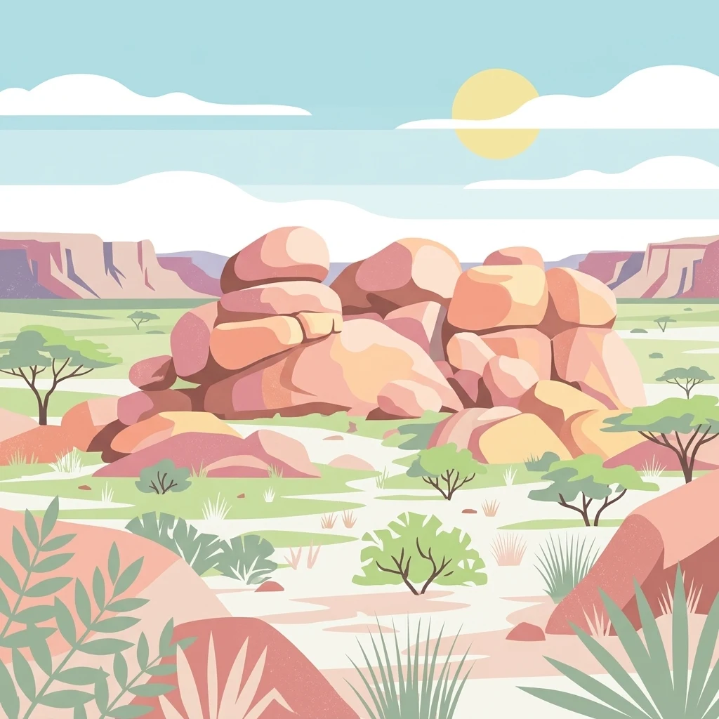
A flat vector illustration of a desert landscape featuring large, rounded pink and orange boulders in the center, sparse green acacia-like trees, and low shrubs under a sunny sky.

A desert valley of balanced granite boulders and one of Australia's most ancient sacred landscapes.

Karlu Karlu / Devils Marbles Conservation Reserve

Karlu Karlu, also known as the Devils Marbles, is a protected area in the Northern Territory of Australia, set in a wide and shallow desert valley about 105 kilometres south of Tennant Creek along the Stuart Highway. The reserve is dominated by scattered clusters of large, rounded granitic boulders, many of them balanced precariously on top of one another or split cleanly in half, forming one of the most widely recognised natural symbols of the Australian outback. Beyond its striking geology, the reserve is one of the oldest continuously significant religious sites in the world for the Aboriginal traditional owners of the region. The name Karlu Karlu is a local Aboriginal term meaning "round boulders" and refers both to the rock formations and the surrounding country. Most of the reserve is a Registered Sacred Site, and the feature is jointly managed by traditional owners and the Parks and Wildlife Commission of the Northern Territory under a long-term lease. The reserve's easy accessibility from the main north-south highway through central Australia, combined with its compact size and dramatic scenery, has made it one of the most visited protected sites in the Northern Territory. It functions simultaneously as a geological landmark, a sacred Aboriginal landscape, and a key outback stop for travellers moving between Alice Springs and Darwin.

Location
Australia
Park type
Nature reserve
Established
1961
Area
18 km²
Karlu Karlu / Devils Marbles Conservation Reserve Map and Atlas
Regional park map

See the ranked park cluster in its geographic setting

Nearby parks around Karlu Karlu / Devils Marbles Conservation Reserve

This regional map shows the same 20 nearby parks ranked below around Karlu Karlu / Devils Marbles Conservation Reserve. Select a ranked marker to highlight that park’s boundary where boundary data is available.
Reference park: Karlu Karlu / Devils Marbles Conservation ReserveRanked nearby park20 nearby parks shown
20 nearby parks

Distance-ranked regional park geography and surrounding protected landscapes across central Australia

Parks and Protected Areas Geographically Near Karlu Karlu / Devils Marbles Conservation Reserve

Geographic distance measurements rank nearby protected areas around Karlu Karlu / Devils Marbles Conservation Reserve to establish clear spatial relationships. Structured environmental characteristics and country context frame broader landscape comparisons across the surrounding region.
National parkNorthern Territory
About 77 km away#1 closest

Southeast

Iytwelepenty / Davenport Range National Park: Protected National Park Landscape Atlas

Explore Northern Territory's mapped protected area and regional geography.

Iytwelepenty / Davenport Range National Park is a designated national park offering crucial insights into Australia's protected landscapes. This resource provides a detailed view of its geographic position within the Northern Territory, emphasizing its mapped boundaries and the surrounding regional context. Users seeking to understand the distribution and geographical characteristics of protected areas will find this park's atlas-style data invaluable for discovery.

Area
1,278.47 km²
Established
1993
IUCN
II
Relief
Mountain
National parkNorthern Territory
About 243 km away#2 closest

Southeast

Dulcie Range National Park National Park: Mapped Protected Landscape in Northern Territory

Explore its geographic boundaries and regional terrain.

Dulcie Range National Park, a protected national park in Australia's Northern Territory, offers a focus for structured geographic discovery. This page details its mapped protected area, contributing to an understanding of the regional landscape and terrain. It serves as a vital entry point for exploring the park's specific natural and geographic identity within the vast context of Northern Australia.

Area
191.12 km²
Established
1991
IUCN
II
Relief
Upland
Nature reserveNorthern Territory
About 259 km away#3 closest

Southwest

Anna's Reservoir Conservation Reserve: Protected Landscapes and Geography in the Northern Territory

Natural rock-hole terrain and arid catchment heritage

Located north of Alice Springs on Aileron Station, Anna's Reservoir Conservation Reserve is a protected area centered on a critical natural water source. The site offers a window into the intersection of Indigenous custodianship and inland exploration, protecting 85 hectares of arid environment characteristic of the central Australian interior.

Area
0.85 km²
Established
1971
Scope
Terrestrial
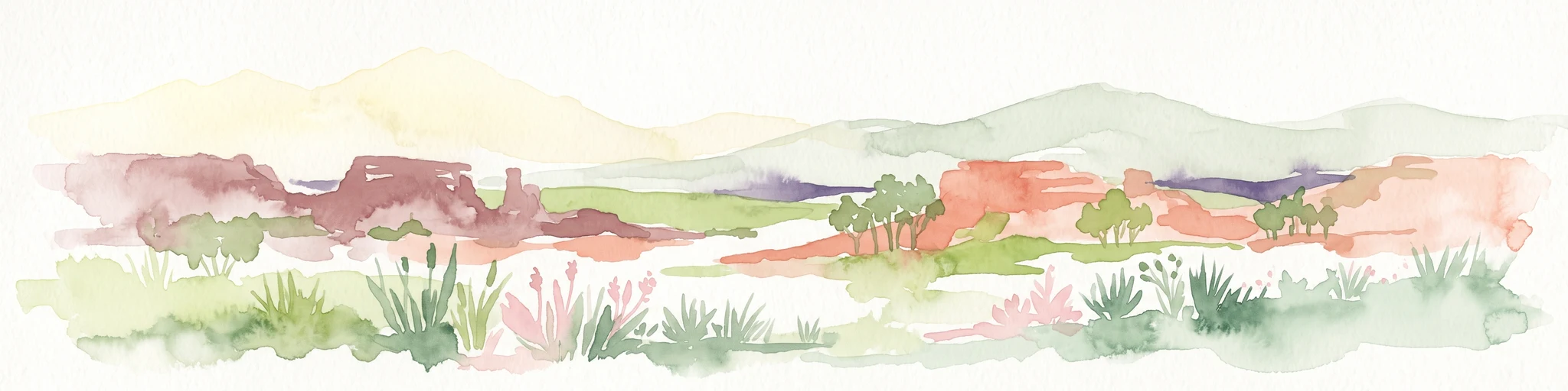
Watercolor painting of an arid landscape featuring red sandstone rock formations, green scrub, and grasses against pale mountains.
Protected landscapeNorthern Territory
About 265 km away#4 closest

South

Native Gap Conservation Reserve: Protected Landscape and Central Australian Geography

Mapped sandstone terrain within the Northern Territory Hann Range

Spanning just 11 hectares, this protected area is defined by its dramatic sandstone ridge and deep historical ties to the Arrente and Anmatyerr peoples. The reserve provides a distinct geographic reference point along the Stuart Highway, where desert flora and historic telegraph routes converge within the unique terrain of central Australia.

Area
0.11 km²
Established
1980
IUCN
V
Relief
Upland
Wildlife reserveNorthern Territory
About 300 km away#5 closest

Northeast

Connells Lagoon Conservation Reserve: Northern Territory Protected Landscape Atlas

Examining the ecological significance of Barkly Tableland grasslands

Connells Lagoon Conservation Reserve, also known as Dalgajini, encompasses a vital protected sample of the Barkly Tableland's Mitchell grassland and black soil plains. This wildlife reserve functions as a sanctuary for native grassland systems, maintaining a rare, cattle-free landscape that allows for the study of regional vegetation, rare avian species, and ancestral Wambaya cultural land patterns within the Northern Territory.

Area
258.9 km²
Established
1994
IUCN
Ia
Relief
Lowland
Protected areaNorthern Territory
About 313 km away#6 closest

North

Lake Woods Protected Area: Northern Territory Wetland Geography and Atlas Data

Ephemeral floodplain and waterbird habitat mapping

Lake Woods is a distinct freshwater system in the Northern Territory, defined by its cycle of flooding and recession. The basin hosts an important mosaic of coolibah woodland, river red gums, and lignum shrubland. As a recognized wetland for migratory and breeding waterbirds, the area offers a significant example of inland Australian floodplain geography and dynamic aquatic ecosystems.

Area
1,240 km²
Water
Water-dominated
Protected areaNorthern Territory
About 324 km away#7 closest

South

Arltunga Historical Reserve: A Heritage Protected Area in Northern Territory Australia

Mapping nineteenth century mining ruins and arid terrain

Arltunga Historical Reserve offers a distinct window into the outback mining era through its well-preserved stone structures and desolate desert setting. This protected area within the Northern Territory highlights the intersection of European settlement history and the traditional cultural heritage of the Eastern Arrernte people.

Area
50 km²
Established
1975
Relief
Upland
Climate
Arid
Protected landscapeNorthern Territory
About 331 km away#8 closest

South

Trephina Gorge Nature Park: Mapped Geography and Protected Landscape Context

East MacDonnell Ranges, Northern Territory Australia

Trephina Gorge Nature Park represents a central feature of the arid MacDonnell Ranges, characterized by its deep gorge, white ghost gums against red rock, and expansive spinifex ridges. This record outlines the park boundaries, its role as a jointly managed conservation area, and its position within the broader geography of central Australia.

Established
1965
Relief
Mountain
Climate
Arid
Access
Access unknown
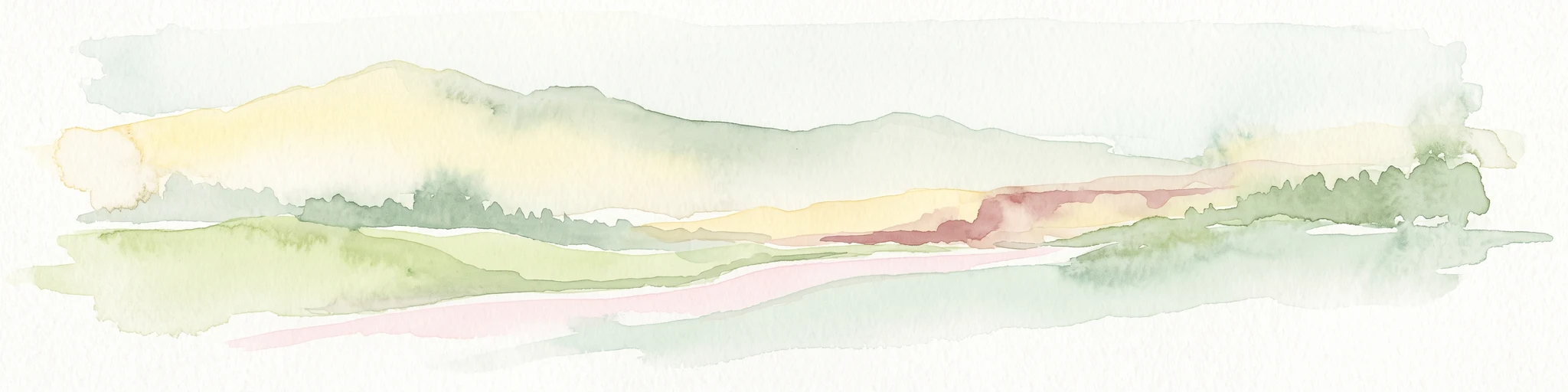
A wide, panoramic watercolor painting showing a soft landscape with rolling hills in the background, green trees and bushes in the midground, and a pinkish path or river in the foreground.
Protected areaNorthern Territory
About 334 km away#9 closest

South

Ruby Gap Nature Park: Geography and Protected Wilderness in the Northern Territory

Gorge-carved arid landscapes and historical mining heritage

Ruby Gap Nature Park stands as a remote protected area in the heart of Australia's Northern Territory. Defined by the Hale River gorge, the terrain showcases dramatic cliff lines, expansive rocky flats, and rich geological sites that reveal a layered story of Indigenous heritage and 19th-century boom-and-bust mining history. Explore the park boundary and the surrounding East MacDonnell Ranges through this focused geographic overview.

Area
92.57 km²
Relief
Upland
Climate
Arid
Access
Remote access
National parkNorthern Territory
About 341 km away#10 closest

South

Tjoritja / West MacDonnell National Park: National Park Atlas and Protected Landscape

Explore the dramatic MacDonnell Ranges terrain and geography.

Delve into the protected geography of Tjoritja / West MacDonnell National Park, a significant national park in Australia's Northern Territory. This landscape features striking mountain formations, deep gorges like Standley Chasm and Glen Helen, and is intrinsically linked to the famous Larapinta Trail and the Arrernte people's cultural heritage. Understanding its mapped boundaries and regional context provides essential insight into this iconic Central Australian protected area.

Area
2,568.61 km²
Established
1992
IUCN
II
Relief
Mountain
A wide watercolor illustration showing a winding river or creek bed flanked by green trees, with pink and red rocky hills in the background under a pale sky.
Nature reserveNorthern Territory
About 342 km away#11 closest

South

N'Dhala Gorge Nature Park: Mapped Geography and Protected Cultural Heritage

Nature reserve located in the eastern MacDonnell Ranges

This nature reserve protects a vital valley corridor in the Northern Territory where sandstone ridges and sandy terrain meet. The park serves as a repository for approximately 6,000 ancient petroglyphs and sustains specialized arid plant species. Use this resource to understand the park's structural boundaries and its place within the broader geography of Central Australia.

Area
5.01 km²
Established
1962
IUCN
V
Relief
Mountain
Protected landscapeNorthern Territory
About 347 km away#12 closest

South

Corroboree Rock Conservation Reserve: Geological and Cultural Protected Area in Central Australia

Mapped protected landscape within the East MacDonnell Ranges

Corroboree Rock Conservation Reserve features a striking dolomite rock formation tied to ancient Precambrian salt lake sediments. Located east of Alice Springs, the reserve provides a protected glimpse into central Australian arid range geography and holds profound cultural importance for the Eastern Arrernte Traditional Owners within the surrounding pastoral landscape.

Area
0.07 km²
Established
1962
IUCN
V
Visitors
15K annual
Wildlife reserveNorthern Territory
About 365 km away#13 closest

South

Kuyunba Conservation Reserve: Wildlife Protected Landscape in Central Australia

Mapped geography and rocky habitat near Alice Springs

Kuyunba Conservation Reserve represents a focused approach to habitat protection in the Northern Territory. The terrain is defined by its rocky hills and boulder-filled escarpments, offering critical shelter for wildlife in an arid, drought-adapted desert region. This site provides a clear view of how targeted land management supports specialized ecological niches in inland Australia.

Area
6.29 km²
Established
1970
IUCN
V
Relief
Upland
National parkAustralia
About 367 km away#14 closest

South

West MacDonnell National Park: Australia's Outback Mountain Landscape and Protected Area

Explore mapped gorges, waterholes, and regional geography in the Red Centre.

West MacDonnell National Park serves as a key protected area within Australia's arid interior, delineating the dramatic western MacDonnell Ranges. This national park offers a unique opportunity to study its mapped landscape, characterized by ancient sandstone ridges, deep gorges, and permanent water sources that support endemic biodiversity. Its profound connection to Aboriginal cultural heritage and its status as a conservation reserve make it essential for understanding the geography and protected lands of central Australia's Red Centre.

Area
2,048 km²
Established
1992
IUCN
II
Relief
Mountain
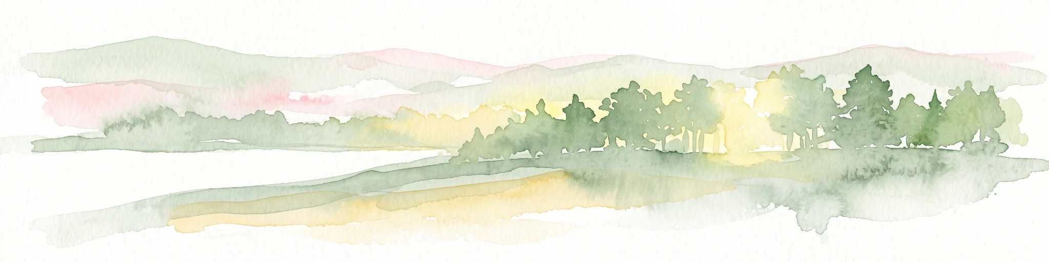
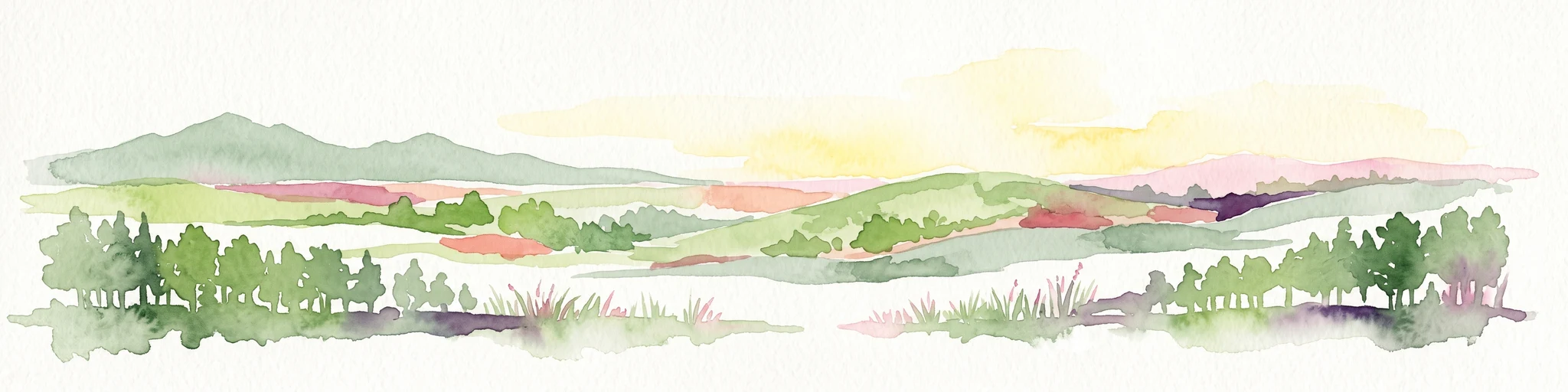
Watercolor painting of a soft, abstract landscape with a line of trees against rolling hills and light, hazy colors.
Nature reserveNorthern Territory
About 385 km away#15 closest

South

Napwerte / Ewaninga Rock Carvings Conservation Reserve: Protected Desert Landscape Map

Cultural heritage and arid basin geography in the Northern Territory

Napwerte / Ewaninga Rock Carvings Conservation Reserve protects a unique desert site defined by its extensive collection of prehistoric Arrernte rock engravings. The landscape encompasses rocky outcrops, red sand dunes, and a seasonal claypan that captures rare rainfall, creating a significant intersection of archaeological history and arid-zone ecology in central Australia.

Area
0.06 km²
Established
1970
IUCN
V
Relief
Lowland
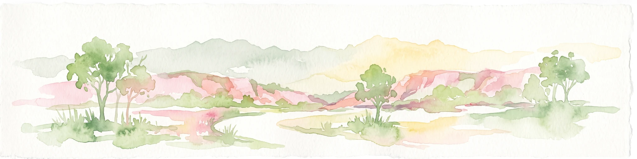
A watercolor illustration of a wide, rolling landscape with distant hills, sparse trees, and soft, warm tones.
Protected areaNorthern Territory
About 390 km away#16 closest

West

Northern Tanami Indigenous Protected Area: A Vast Desert Wilderness and Protected Landscape

Central Australia, Northern Territory mapping and ecological overview

Located in the heart of the Tanami Desert, this 40,050 square kilometer protected area stands as one of the largest Aboriginal-managed conservation sites in Australia. The region is defined by continuous hummock grasslands, wide horizons, and arid drainage systems. It provides critical habitat for threatened desert species while demonstrating the integration of traditional ecological knowledge with contemporary land management practices.

Area
40,050 km²
Established
2007
Relief
Lowland
Climate
Subtropical
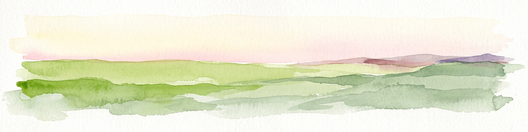
Watercolor painting of a wide, flat desert horizon with layered green plains and distant purple hills under a pale sky.
Protected areaNorthern Territory
About 390 km away#17 closest

West

Southern Tanami Indigenous Protected Area: Geographic Overview of Australia's Largest Conservation Estate

A vast desert wilderness in the Northern Territory

Spanning over 100,000 square kilometres, the Southern Tanami Indigenous Protected Area forms a critical block of arid habitat within the Australian desert. This protected area features a diverse terrain of salt pans, long dune corridors, and rocky ranges that support threatened species. The site demonstrates the intersection of Aboriginal land governance and large-scale ecological management within the Northern Territory.

Area
101,600 km²
Established
2012
Relief
Mixed relief
Climate
Arid
National parkQueensland
About 411 km away#18 closest

East

Camooweal Caves National Park: Protected National Park Geography and Map Context in Queensland

Explore mapped boundaries and regional landscape character.

Camooweal Caves National Park represents a distinct protected landscape within Queensland, Australia. This national park offers users a focused entry into exploring its specific geographic features and mapped boundaries. Delve into the unique regional context and understand the atlas-level significance of this protected natural area, providing a clear view of its natural terrain and conservation identity.

Area
138 km²
Established
1988
IUCN
II
Relief
Upland
Wildlife reserveNorthern Territory
About 414 km away#19 closest

Southwest

Newhaven Wildlife Sanctuary: Exploring Desert Boundaries and Arid Protected Landscapes

Geographic atlas of a major Australian desert wildlife reserve

Newhaven Wildlife Sanctuary preserves a vast expanse of desert terrain across the Northern Territory, transitioning between the Tanami and Great Sandy deserts. This atlas entry provides a detailed view of its unique topography, including rhythmic sand dunes, broad claypans, and saline lake systems, highlighting its role as a monumental protected landscape for arid-zone restoration and habitat security.

Area
2,615.01 km²
Established
2000
IUCN
II
Relief
Upland
Watercolor painting of a landscape with green valleys, pink and yellow mountain peaks, and distant hills
National parkNorthern Territory
About 414 km away#20 closest

Southwest

Finke Gorge National Park: Explore Its Protected Landscape and Geographic Identity

Mapped boundaries and natural terrain within Northern Territory.

Finke Gorge National Park represents a significant protected area within the Northern Territory, Australia. This national park offers valuable insights into the region's geography, mapped landscapes, and natural terrain. Detailed information helps users understand the park's protected boundaries and its role in the broader context of Australian conservation lands, ideal for focused atlas exploration.

Area
452.85 km²
Established
1966
IUCN
V
Visitors
18K annual
Distance methodology

Geographic measurements, not driving distances

How nearby park distances are calculated

Distances use park boundaries whenever the available geometry allows it. When one or both boundaries are missing, the mapped park locations provide a clearly labelled estimate. Every value represents straight-line geographic separation and does not use roads or routing.

Boundary distance

Calculated between the nearest points of both park boundaries.

Location-to-boundary estimate

Estimated from one mapped park location to the nearest boundary of the other park.

Mapped-location estimate

Estimated between the mapped locations of both parks.

MoriAtlas Explorer

Explore the Geography of Karlu Karlu / Devils Marbles Conservation Reserve

Continue your geographic discovery by examining the precise boundaries and landscape context of Karlu Karlu / Devils Marbles Conservation Reserve. MoriAtlas provides detailed insight into how these granite formations define the arid interior of the Northern Territory, supporting a deeper understanding of Australia's protected natural heritage and sacred desert lands.