Connemara National Park
Explore national park geography and protected terrain details.
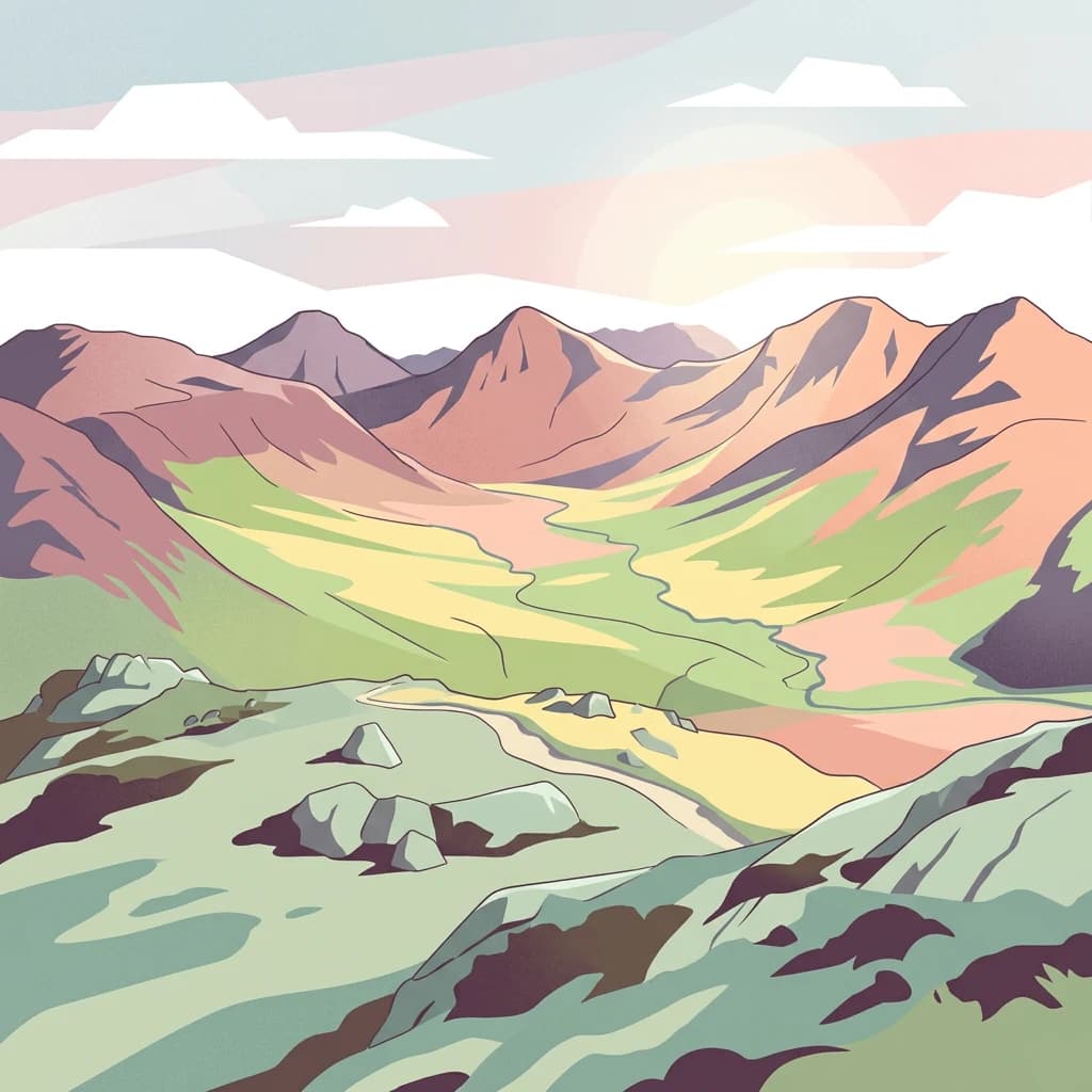
Connemara National Park, in County Galway, Ireland. Landscapes: mountains, wetlands, and grasslands.
- Area
- 20 km²
- Established
- 1980
- IUCN
- II
- Relief
- Mountain
Regional mapped distribution and natural landscapes in County Kerry, Ireland
Identify protected areas and natural landscapes situated in the regional proximity of Páirc Náisiúnta na Mara. This spatial overview provides insight into the distribution of managed conservation sites and mountain-to-sea terrain across the western Irish coast, highlighting the geographic context of the region surrounding the park.

Ireland's largest marine-protected area spanning the wild Atlantic coast of County Kerry
Kerry Seas National Park is a newly established marine-focused national park on the western coast of County Kerry, Ireland. Announced in April 2024, it represents Ireland's most ambitious conservation initiative, protecting approximately 70,000 acres of combined terrestrial and marine territory. The park encompasses the dramatic landscapes of the Dingle Peninsula and Iveragh Peninsula, extending outward into the Atlantic Ocean to include offshore islands and marine ecosystems. This designation brings together a constellation of already-protected areas, including special areas of conservation, nature reserves, and internationally significant cultural sites, unified under a single national park framework for the first time. The park's marine component is central to its identity, making it distinctive among Ireland's protected areas. Its coastal and offshore waters support rich biodiversity, while the terrestrial portions include mountain terrain, river valleys, dune systems, and cliff landscapes. The inclusion of Skellig Michael, a UNESCO World Heritage Site famous for its ancient monastic settlement, anchors the park's cultural significance alongside its natural value. Kerry Seas National Park serves both as a conservation framework for protecting Ireland's Atlantic ecosystems and as a framework for sustainable management of one of the country's most scenic and ecologically important coastal regions.

See the ranked park cluster in its geographic setting
Geographic proximity and environmental comparisons across surrounding protected landscapes

Explore national park geography and protected terrain details.
Connemara National Park, in County Galway, Ireland. Landscapes: mountains, wetlands, and grasslands.

North
National Park with regional geographic context.
Explore Wild Nephin National Park, a significant protected area situated in County Mayo, Ireland. This entry focuses on the park's mapped boundaries and its unique natural terrain, offering a clear geographic perspective. Understand how this national park contributes to the diverse landscapes of western Ireland and serves as a key point for atlas-based discovery of protected lands.

Southeast
Explore its unique limestone pavement and geological formations.
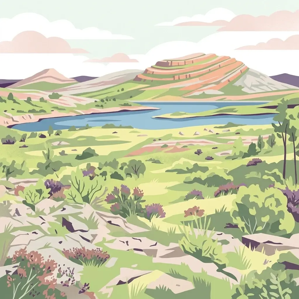
Burren National Park, in Ireland. Landscapes: karst, mountains, and bogs.

South
Explore mapped boundaries and regional atlas context.
Killarney National Park, in Ireland. Landscapes: mountains, valleys, and cliffs.
Northeast
Riparian forest and island geography in County Fermanagh
Deeply connected to the shores of Upper Lough Erne, Crom Estate is a sprawling nature reserve defined by its ancient riparian woodlands and intricate maze of bays and islands. The terrain preserves a distinct mix of old-growth forest, open grassland, and historic castle ruins, providing a valuable case study in the regional geography of County Fermanagh and the conservation of water-influenced ecosystems.
Northeast
Lakeside woodland and historic terrain on Lower Lough Erne
Located on the shores of Lower Lough Erne, Castle Archdale represents a unique protected landscape in County Fermanagh. The area features a complex mosaic of sheltered inlets, mature woodland, and open parkland that characterises the Fermanagh lakelands. Beyond its physical terrain, the site is defined by its historical significance, from seventeenth century estate remnants to its role as a pivotal wartime flying boat base, providing a rich context for geographic and environmental exploration.

Northeast
Mapped geography and natural terrain for Ireland's national park.
Glenveagh National Park, in County Donegal, Ireland. Landscapes: mountains, valleys, and lakes.

East
Explore County Wicklow's mapped natural terrain and park boundaries.
Understand the geographic scope and protected landscape identity of Wicklow Mountains National Park. This page offers detailed information on its mapped boundaries and its context within County Wicklow, providing a foundation for atlas-based discovery of Ireland's natural areas. Explore how this national park contributes to the region's mapped geography and conservation landscapes.

East
Geographic atlas overview for County Meath, Ireland
Boyne Valley National Park encompasses a significant riparian corridor along the River Boyne, serving as a sanctuary for diverse freshwater species and a guardian of major megalithic monuments. This protected area offers insight into the confluence of Irish ecological preservation and prehistoric archaeological heritage within a managed, low-lying floodplain setting.
Northeast
Intact active bog dome and protected wetland landscape
Examine the geography of Ballynahone Bog, one of the largest remaining lowland raised bogs in Northern Ireland. This protected landscape preserves an active peat-forming surface, intricate hummock and pool complexes, and marginal fen habitats, offering insight into the ecological history and hydrological patterns of the Lough Neagh lowland region.
Northeast
Lakeshore habitats and woodland geography at Lough Neagh
Oxford Island is a prominent nature reserve where terrestrial woodland meets the expansive waters of Lough Neagh. The site showcases a transition of reed beds and meadows that serve as vital ecological assets within the regional geography of Northern Ireland, offering a dense, accessible look at lowland wetland environments.

Northeast
Lough Foyle coastal terrain in County Londonderry
Explore the structured geography of Roe Estuary Nature Reserve, a primary coastal protected area in County Londonderry. This atlas entry details the reserve's intertidal mudflats, salt marshes, and riverine channels. Understand its unique position between the Binevenagh escarpment and the waters of Lough Foyle, highlighting its role as a vital corridor for migratory species and aquatic life within the Northern Ireland coastal landscape.

Northeast
An essential protected landscape within the Lough Neagh basin.
Lough Beg provides a distinct geographic study of freshwater ecosystems and alluvial landscapes. As a designated nature reserve, it forms a crucial link in the Lower Bann catchment, characterized by its shallow waters and seasonal pasture flooding. The area serves as a primary hub for migratory bird species, while the historic Church Island offers a unique convergence of early Christian heritage and natural wetland terrain.

East
A historic protected peninsula along the shores of Dundrum Bay.
Located in County Down, Murlough Nature Reserve stands as the largest dune heathland in Ireland. This protected landscape encompasses a complex system of sand dunes and open heath, set against the backdrop of the Mourne Mountains. The reserve provides a unique vantage point for understanding coastal geomorphology, invertebrate-rich habitats, and the long-term interaction between shoreline dunes and upland mountainous geography.
Northeast
Coastal terrain and protected boundaries in County Antrim
Examine the geographic characteristics of Benbane Head, a significant protected area located in County Antrim. This profile highlights the site's physical boundaries and its place within the regional landscape, providing essential mapping context for understanding Northern Ireland's diverse natural terrain and conservation geography.

Northeast
A comprehensive look at the Antrim forest and glacial landscape.
Slieveanorra Forest serves as a prominent protected area within the County Antrim uplands. Featuring expansive conifer woodlands, the site includes rugged terrain, reservoir edges, and scenic summit views. Understand the geological and environmental composition of this working forest landscape through its mapped boundaries and regional context.
North
Extensive North Atlantic deep sea protected zone in Scotland
Spanning a immense area west of the Outer Hebrides, the West of Scotland Marine Protected Area is a critical offshore conservation zone defined by its varied benthic topography. From the steep continental slope to the sediment plains of the Rockall Trough, the area houses complex deep sea fish populations, cold water coral reefs, and sponge aggregations on isolated seamounts.
North
Geological survey of Scottish marine protected areas.
This marine protected area safeguards the Atlantic seabed through the conservation of two primary geological formations. The Barra Fan represents extensive submarine landslide activity, while the Hebrides Terrace Seamount provides a vertical volcanic anchor within the deep waters west of the Outer Hebrides. It serves as a vital study area for cold-water coral habitats and abyssal sediment processes occurring where the continental shelf meets the deep-sea trough.

Southeast
Explore unique seaside terrain and regional geography.
Delve into the Pembrokeshire Coast National Park, a premier protected landscape recognized for its extraordinary coastal formations and diverse natural terrain. This atlas entry details the park's distinct mapped boundaries, from its iconic limestone cliffs and sea stacks to its sheltered estuaries and inland Preseli Hills. Understand how this significant national park contributes to the protected area map of Pembrokeshire and offers unparalleled opportunities for geographic discovery along the Welsh coast.

East
Mountain terrain, glacial lakes, and regional geography.
Snowdonia National Park offers a profound exploration of mountainous protected landscapes in North Wales. This page details the park's mapped boundaries, revealing a terrain shaped by glaciation, featuring dramatic peaks like Snowdon, steep valleys, and pristine glacial lakes. Understand its geographic identity within the United Kingdom and how its protected status contributes to the regional landscape context, providing a unique focus for atlas-based discovery.
Geographic measurements, not driving distances
Calculated between the nearest points of both park boundaries.
Estimated from one mapped park location to the nearest boundary of the other park.
Estimated between the mapped locations of both parks.
Delve deeper into the geographic identity of Páirc Náisiúnta na Mara National Park by exploring its mapped boundaries and regional context within County Kerry. Understanding this protected area contributes to a broader comprehension of Southwest Ireland's natural landscapes. Utilize MoriAtlas to connect this park's geography with surrounding protected areas and terrain, fostering a comprehensive atlas-based discovery experience.