Southeast
Mungo National Park
Explore mapped boundaries and regional terrain within New South Wales.
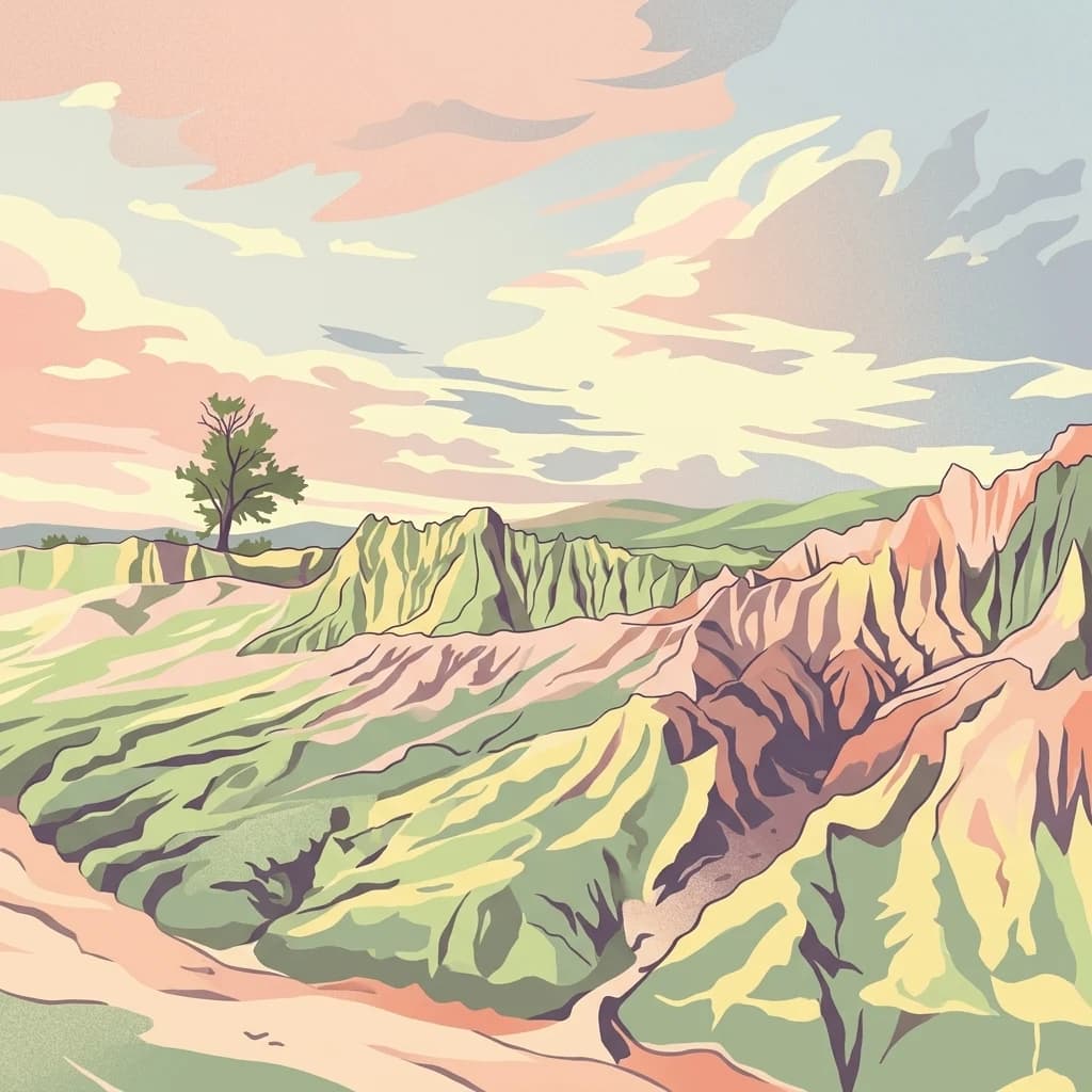
Mungo National Park, in New South Wales, Australia. Landscapes: dunes and lakes.
- Area
- 1,109.67 km²
- Established
- 1979
- IUCN
- II
- Relief
- Lowland
Geographic distribution and regional landscape context for nearby protected environments
Examine the geographic layout of protected lands situated within the vicinity of Kinchega National Park. This regional overview provides mapped context for neighboring natural landscapes across the semi-arid interior of New South Wales to support comparative study of nearby wilderness areas.

Outback riverside heritage park on the Darling River in far-western New South Wales
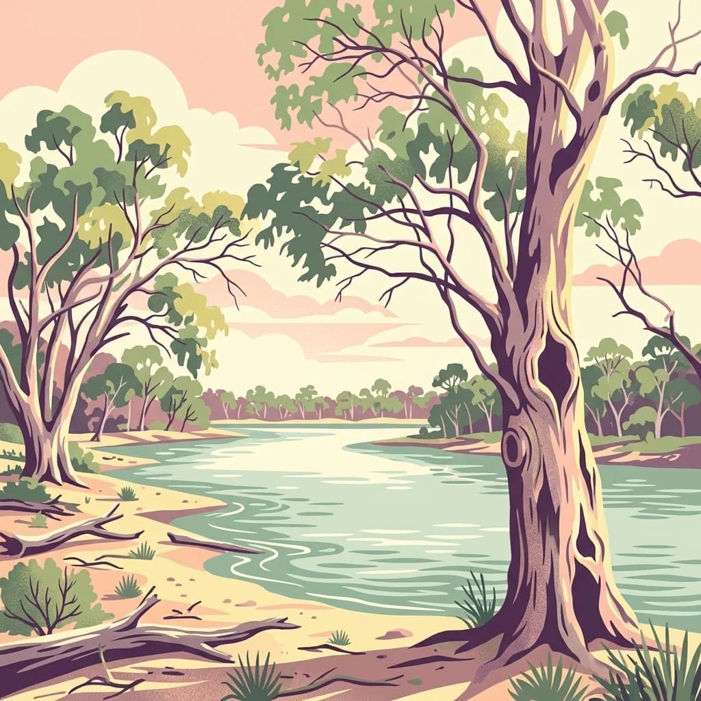
Kinchega National Park is a protected area in the Far West region of New South Wales, Australia, situated along the eastern bank of the Darling River near the township of Menindee. The park covers approximately 44,259 hectares and was established on October 1, 1967, managed by the NSW National Parks and Wildlife Service. This semi-arid outback landscape features the Darling River as its defining geographic feature, with the river's floodplains and channels creating a distinctive environment within the broader arid interior of eastern Australia. The park holds IUCN Category II protected area status, recognizing its national significance for conservation and heritage preservation. Located about 840 kilometres west of Sydney and 111 kilometres southeast of Broken Hill, Kinchega represents one of the significant protected areas in this remote corner of New South Wales.
See the ranked park cluster in its geographic setting
Distance ranked collection and regional park geography for comparative analysis

Southeast
Explore mapped boundaries and regional terrain within New South Wales.
Mungo National Park, in New South Wales, Australia. Landscapes: dunes and lakes.
Southwest
Arid zone conservation and dune-swale mapping.
Scotia Sanctuary serves as a primary example of arid-zone conservation in south-western New South Wales. This reserve protects vast tracts of intact eucalypt mallee shrubland and sheoak woodland, set across a distinctive landscape of parallel sand dunes and calcareous swales. Its geographic position within the Murray-Darling Depression makes it a critical site for understanding the intersection of land management, habitat restoration, and regional ecological patterns.

North
Mapping rugged outback terrain, gorges, and ancient rock art.
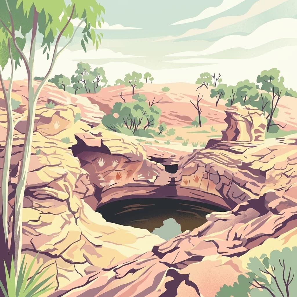
Mutawintji National Park in New South Wales offers a profound exploration of Australia's outback geography, significant Indigenous heritage, and protected landscapes. Discover the park's unique terrain, defined by the Byngnano Range, vibrant gorges, and river red gum-lined creeks, all rich with ancient Aboriginal rock art. This national park is a prime example of mapped protected area discovery, highlighting both natural beauty and critical conservation achievements.
West
Arid outback landscapes and conservation terrain in South Australia.
Boolcoomatta Reserve represents a significant protected area within the arid South Australian interior, featuring a mosaic of rocky ridges, open saltbush plains, and tussock grasslands. Once managed as a sheep station, this nature reserve now serves as a dedicated site for habitat restoration and the protection of native wildlife. This atlas entry provides essential geographic context on its terrain, vegetation zones, and role within the regional outback ecosystem.
Southwest
Nature reserve geography and inland landscape context in South Australia.
Danggali Conservation Park preserves a substantial inland landscape north of the Riverland, characterised by open mallee scrubland, sandy dune systems, and dry eucalypt woodlands. This protected area acts as a crucial ecological bridge, showcasing the distinct shift from river-influenced environments to the arid interior of South Australia.

Northeast
Explore the geographic context of this Australian national park.
Paroo-Darling National Park is a protected national park offering insights into Australia's natural geography. This section provides details on its mapped protected area, highlighting the landscape and regional context. Understand the park's geographic footprint and its importance as a conservation landscape within the Australian continent.

South
Explore its unique landscape, mapped boundaries, and regional geography.
Murray-Sunset National Park offers a compelling glimpse into Australia's semi-arid heart, featuring a dramatic landscape of salt lakes, gypsum plains, extensive sand dunes, and dense mallee woodlands. This vast protected area is renowned for the vibrant pink hue of its salt lakes, a phenomenon created by microscopic algae that flourishes in the hypersaline conditions during warmer months. The park's rich biodiversity and unique ecosystem make it a significant conservation asset, providing crucial habitat for numerous species adapted to this challenging yet beautiful environment.
South
Mapping riverine wetlands and semi-arid dune systems
Barkindji Biosphere Reserve sits within the Murray-Darling Basin, creating a critical conservation area that spans river floodplains, sand plains, and semi-arid forest. This protected entity documents the transition between aquatic river environments and inland dryland terrain, highlighting complex soil and habitat variability across its vast, managed regional footprint.

Southwest
Mapping the convergence of mallee woodland and riverine wetland ecosystems
Riverland Biosphere Reserve represents a significant landscape-scale conservation effort covering 9,000 square kilometres of South Australian terrain. The reserve encompasses an ecological mosaic, where arid, sandy mallee woodlands transition into a complex network of Murray River floodplains and riparian wetlands. This overview maps the protected area structure, highlighting the unique environmental interplay that supports essential bird populations and ecologically sustainable development.
South
Explore its mapped boundaries and regional New South Wales context.
Mallee Cliffs National Park is presented here as a distinct protected landscape, offering specific insights for atlas and geographic discovery. This entry details the park's national park designation and its position within New South Wales, highlighting its mapped boundaries and the surrounding regional geography. It provides the foundational geographic context needed to understand Mallee Cliffs National Park's presence within the broader landscape of protected areas, inviting detailed exploration for those interested in mapped natural terrain.

South
An inland mosaic of river corridors and semi-arid mallee habitats.
Located in northwestern Victoria, this biosphere reserve encompasses a distinct ecological assembly of Hattah lakes, seasonal floodplains, and sand-ridge terrains. Understand the interplay between the Murray River system and the surrounding dryland vegetation through detailed geographic context.
Southwest
Detailed geographic overview of a major Australian nature reserve.
Spanning over 2,300 square kilometers, Calperum Station preserves a vital stretch of mallee woodland and Murray River floodplain. This nature reserve serves as an international site for wetland conservation and provides a crucial stronghold for threatened bird species. The mapped area highlights the intersection of dryland dune-field ecology and riparian corridors, offering insight into large-scale habitat restoration.
Southwest
Explore South Australia's unique river red gum floodplains.
Murray River National Park is a significant protected area in South Australia, renowned for its expansive wetland and floodplain environments situated along the Murray River. This national park preserves crucial habitats within the Murray-Darling Basin, characterized by river red gum woodlands, permanent water bodies, and dynamic seasonal floodplains. Its detailed maps and geographic context offer deep insights into one of Australia's most important riverine conservation landscapes.

South
Explore its mapped protected area and semi-arid regional geography.
Delve into Hattah-Kulkyne National Park, a substantial protected area in northwestern Victoria, Australia, defined by its striking red-earth terrain and sprawling mallee woodlands. This national park is renowned for its dynamic seasonal lake system, a key component of the Murray River basin's wetland geography. The park's status as a Ramsar-designated wetland highlights its ecological importance, providing critical habitat within a distinct semi-arid environment. Discover the unique atlas-scale landscape character and protected land context of this significant Australian natural area.
Southwest
A regional conservation area defined by dune and shale flat topography
Cooltong Conservation Park is a protected state area in South Australia's Riverland. It features 37 square kilometres of mallee shrubland shaped by undulating dunes and shale flats. This conservation landscape is a recognized stronghold for birdlife, particularly the iconic Malleefowl, offering an authentic look at Australia's inland semi-arid terrain and its ecological connectivity.
Southeast
Protected landscape atlas entry for New South Wales.
Examine Yanga National Park, a dedicated national park situated in New South Wales, Australia. This entry provides essential details for atlas-based discovery, focusing on its mapped boundaries, protected area status, and integration into the regional geography. Understanding Yanga National Park contributes to a broader comprehension of protected lands and their distribution, offering a clear geographic perspective on conservation efforts within New South Wales for users seeking structured landscape data.
Southwest
Protected mallee landscapes in the Murray-Mallee, South Australia.
Taylorville Station provides a critical refuge for mallee-dependent species within its 92 square kilometres of semi-arid woodland. As a cornerstone of the Riverland Biosphere Reserve, this protected area in South Australia offers a unique look at the ecological significance of the Murray-Mallee region's persistent eucalypt vegetation and habitat management frameworks.
East
Discover mapped boundaries within this New South Wales protected area.
Willandra National Park is a designated national park in New South Wales, Australia, offering focused opportunities for understanding protected landscapes. This entry provides essential geographic context and highlights the importance of mapped park boundaries for atlas-driven exploration. Users can engage with the park's specific landscape identity and its contribution to the broader regional geography of New South Wales through structured data.
Southwest
A protected sand-bar island in the South Australian Riverland
Located in the Murray River near Loxton, Kapunda Island Conservation Park serves as an important example of a riverine island environment. This protected area provides essential habitat, featuring river red gum woodland and lignum understorey that support local waterbird populations and regional biodiversity patterns.
Southwest
A vital wildlife reserve anchoring riparian and mallee ecosystems
Located near Cadell in South Australia, Hogwash Bend Conservation Park secures a unique cross-section of river red gum forest and dryland mallee. The reserve serves as a targeted breeding refuge for the vulnerable eastern Regent Parrot, illustrating the importance of localized conservation within the broader Murray River corridor.
Geographic measurements, not driving distances
Calculated between the nearest points of both park boundaries.
Estimated from one mapped park location to the nearest boundary of the other park.
Estimated between the mapped locations of both parks.
Delve deeper into the geographic context and mapped features of Kinchega National Park. Understanding its place within New South Wales and the broader Australian outback, through its protected area boundaries and unique terrain, offers a rich atlas-driven discovery experience. This exploration highlights the park's conservation value and its role as a significant protected landscape for understanding regional geography.