Mori Atlas logo
Nearby park discovery

Mapping the geographic context of protected lands near this forest ecosystem

National Parks and Protected Areas Surrounding Mariy Chodra National Park in Russia

Discover the network of protected areas and national parks located within the immediate regional geography of Mariy Chodra National Park. This geographic overview highlights the spatial distribution of conserved landscapes throughout the surrounding territory of Russia, offering a clear map-based context for regional natural sites.

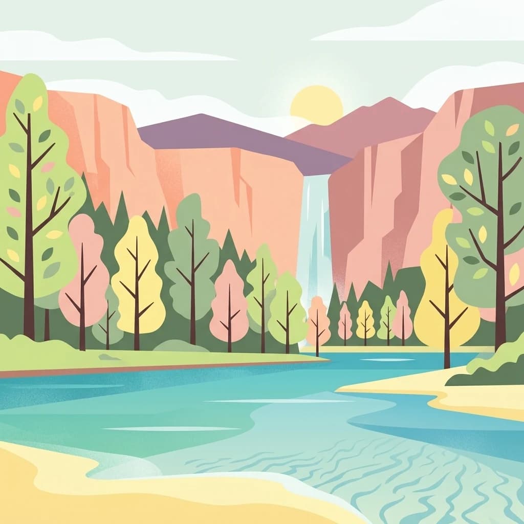
Stylized illustration of a river flowing through a valley with colorful trees, mountains in the background, and a waterfall cascading down a cliff face.

A forested national park in Mari El known for its karst lakes, mixed woodlands, and gently rolling uplands.

Mariy Chodra National Park

Mariy Chodra National Park is a protected natural area located in Russia. The park is known for its forest ecosystems and serves as an important conservation area within the Russian Federation's protected lands network. The park's name derives from the Mari language, reflecting the regional cultural context of its location.

Location
Russia
Park type
National park
Established
1985
Area
366 km²
Explore Mariy Chodra National Park Geography
Regional park map

See the ranked park cluster in its geographic setting

Nearby parks around Mariy Chodra National Park

This regional map shows the same 12 nearby parks ranked below around Mariy Chodra National Park. Select a ranked marker to highlight that park’s boundary where boundary data is available.
Reference park: Mariy Chodra National ParkRanked nearby parkSelected boundary: Mariy Chodra National Park12 nearby parks shown
12 nearby parks

Distance-ranked collection and surrounding regional geography comparisons

Parks and Protected Areas Geographically Near Mariy Chodra National Park

Geographic separation metrics establish a ranked sequence of protected areas surrounding Mariy Chodra National Park for comparative spatial analysis. Recorded environmental characteristics and country context illuminate broader protected landscape patterns across the region.
Protected areaRussia
About 159 km away#1 closest

Southwest

Chuvash Forest Protected Area: Explore Russian Volga Region's Mixed Woodland Ecosystems

Discover mapped boundaries and regional landscape context.

Chuvash Forest stands as a protected area defined by its mixed woodland ecosystems within Russia's Volga region. This entry provides detailed geographic context, highlighting the park's mapped boundaries and its role as a distinct natural landscape. It serves as an essential point for understanding the environmental character and regional significance of protected lands in Eastern Europe, aiding structured atlas exploration of Russia's natural geography.

IUCN
II
Climate
Temperate
Access
Access unknown
Scope
Terrestrial
National parkNizhny Novgorod Oblast
About 186 km away#2 closest

West

Nizhegorodskoe Povolzhie National Park: Geographic Boundaries and Protected Area Identity

Regional Russian park network spanning five distinct ecological clusters.

Spanning across nine districts in Nizhny Novgorod Oblast, this federal national park protects a vast array of natural environments within a single designation. From the dark coniferous stands of the Kilemarsky Taiga to the limestone sinkholes of Ichalkovsky Bor and the Volga river floodplains, the park offers a detailed look at the intersection of boreal and central Russian ecosystems.

Area
658.02 km²
Established
2024
Relief
Mixed relief
Climate
Temperate
Watercolor painting of a river winding through grassy wetlands with distant hills under a pastel sky
National parkRepublic of Mordovia
About 223 km away#3 closest

Southwest

Smolny National Park: National Park Protected Area and Geographic Context in Republic of Mordovia

Explore the mapped landscape and regional geography of Smolny National Park.

Delve into the specifics of Smolny National Park, a designated national park in Russia's Republic of Mordovia. This detailed atlas view focuses on its protected area identity and geographic setting, providing essential context for understanding its landscape. Discover the mapped boundaries and regional placement that define this protected territory, crucial for any structured exploration of Russian natural areas.

Area
365 km²
Established
1995
IUCN
II
Relief
Lowland
Watercolor painting of a meadow with wildflowers and rolling hills under a soft sky
National parkRussia
About 241 km away#4 closest

South

Sengileevskie Mountains National Park: National Park Protected Area and Mapped Landscape Context

Explore protected boundaries and regional geography.

Uncover the geographic specifics of Sengileevskie Mountains National Park, a designated national park. This entry provides detailed insights into its protected area status, mapped landscape features, and regional context, serving as a foundational element for atlas-based exploration and understanding of Russia's conservation areas.

IUCN
II
Watercolor illustration showing a river flowing through a valley with trees and distant mountains
National parkTatarstan
About 252 km away#5 closest

East

Nizhnyaya Kama National Park: An Atlas of Protected Forests and Riverine Geography in Tatarstan

Examining boreal forest ecosystems along the Kama River corridor

Discover the geographic structure of Nizhnyaya Kama National Park, a protected region in Tatarstan featuring significant pine-dominated forests. This assessment details the park's isolated clusters, riverbank topography, and the ecological transition between elevated ravine systems and lowland wetlands within the Volga river basin.

Area
265.87 km²
Established
1991
IUCN
II
Relief
Lowland
Watercolor illustration of a river flowing through a valley with green hills and scattered trees in the background
National parkSamara Oblast
About 309 km away#6 closest

South

Samarskaya Luka National Park: Mapped Geography and Protected Area Landscape Context

An atlas-focused overview of the Zhiguli Mountains and Volga River meander.

Samarskaya Luka National Park covers 134,000 hectares of diverse terrain in Samara Oblast. This overview examines the protected area's karst limestone uplands, dense forests, and river floodplains. Access map-integrated data on the Volga River bend and the unique geological formations defining this regional ecosystem.

Area
1,340 km²
Established
1984
IUCN
II
Relief
Mixed relief
Watercolor illustration of a winding river through a valley with rolling hills and sparse vegetation under a soft sky
National parkUdmurt Republic
About 342 km away#7 closest

East

Nechkinsky National Park: Protected River Valleys and Wetlands in the Udmurt Republic of Russia

Geographic analysis of Kama River floodplains and forest-steppe terrain.

Nechkinsky National Park provides a critical study of river valley geography and protected ecosystems. Its unique terrain includes steep slopes; extensive floodplain terraces; and the coastal zones of the Votkinsk reservoir. This area serves as both a natural biological habitat for rare species and an important archaeological site preserving history from the Ananyino culture.

Area
208 km²
Established
1997
IUCN
II
Relief
Mixed relief
Watercolor illustration of green hills, a body of water, and pink and yellow vegetation
National parkSaratov Oblast
About 407 km away#8 closest

South

Khvalynsky National Park: Protected Landscape and Regional Geography Atlas

Discover mapped park boundaries in Saratov Oblast

Khvalynsky National Park is a significant protected area designated as a national park within the Saratov Oblast. This entry provides detailed atlas-based insights into its geographic scope, protected landscape features, and its context within the wider regional geography of Southeastern European Russia. Explore the mapped terrain and understand how this park contributes to the conservation landscape of the Volga region.

Area
255 km²
Established
1994
IUCN
II
Visitors
35K annual
An illustration featuring a river flowing through a lush, colorful forest at sunset with birch trees in the foreground and pine trees in the distance.
National parkKomi Republic
About 417 km away#9 closest

North

Koygorodsky National Park: Protected Landscape Exploration and Regional Geography

Mapped boundaries and natural landscape context.

Gain a structured understanding of Koygorodsky National Park, a designated national park within the Komi Republic. This entry facilitates exploration of its protected landscape, mapped geographic features, and its role within the broader regional atlas. Focus on the park's identity as a distinct protected area and its contribution to understanding Russian natural geography through detailed, map-centric data.

Area
567 km²
Established
2019
IUCN
II
Relief
Lowland
A horizontal watercolor illustration depicting a line of evergreen trees along a shoreline with rolling hills in the background.
National parkRussia
About 426 km away#10 closest

Southeast

Buzuluksky Bor National Park: Mapping an Isolated Forest in the Russian Steppe

Examining the unique geomorphology and forest-steppe ecological boundaries.

Buzuluksky Bor National Park serves as an extraordinary natural laboratory in Russia, defined by its 106,000 hectares of pine forest set against a backdrop of open grasslands. This protected area features deep sandy substrates of marine origin, undulating dune landscapes, and the deeply incised Borovka River valley, providing a vital study site for forest-steppe dynamics and long-term conservation research.

Area
1,060 km²
Established
2007
IUCN
II
Relief
Lowland
Watercolor painting of a lake surrounded by trees and distant hills
National parkVladimir Oblast
About 510 km away#11 closest

West

Meshchyora National Park: A Premier Wetland Protected Area in Vladimir Oblast

Explore its mapped boundaries and intricate floodplain geography.

Meshchyora National Park is a key protected landscape in central Russia, renowned for its expansive wetland ecosystems across the Meshchera Lowlands of Vladimir Oblast. Covering nearly 119,000 hectares, the park preserves a unique glacial terrain of peatlands, lakes, and meandering rivers, supporting remarkable biodiversity. Its role as a vital component of the Oka River basin and its conservation focus on restoring degraded peatlands make it a significant site for atlas-based geographic discovery and understanding protected area landscapes.

Area
1,189 km²
Established
1992
IUCN
II
Relief
Lowland
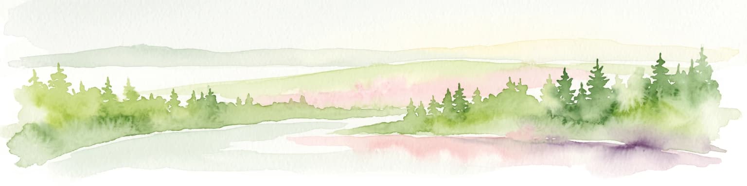
A watercolor painting showing a soft, hazy landscape of pine trees alongside a body of water, rendered in shades of green, light pink, and soft purple.
National parkRyazan Oblast
About 526 km away#12 closest

West

Meshchyorsky National Park: Ryazan Oblast Protected Landscape Exploration

National park geography and mapped terrain.

Investigate Meshchyorsky National Park, a key protected area situated in Ryazan Oblast, Russia. This page provides detailed atlas-level context, focusing on the park's geographic identity, its mapped boundaries, and its role as a national park within the regional landscape. Explore the natural terrain and discover the protected land's place in Central Russia's geography through structured data and mapping.

Area
66 km²
Established
1992
IUCN
II
Visitors
5K annual
Distance methodology

Geographic measurements, not driving distances

How nearby park distances are calculated

Distances use park boundaries whenever the available geometry allows it. When one or both boundaries are missing, the mapped park locations provide a clearly labelled estimate. Every value represents straight-line geographic separation and does not use roads or routing.

Boundary distance

Calculated between the nearest points of both park boundaries.

Location-to-boundary estimate

Estimated from one mapped park location to the nearest boundary of the other park.

Mapped-location estimate

Estimated between the mapped locations of both parks.

MoriAtlas Explorer

Explore the Protected Landscapes of Mariy Chodra National Park

MoriAtlas offers detailed insights into the geographic extent and forest ecosystems found within Mariy Chodra National Park. Gain a deeper understanding of this Russian protected area through accurate mapping and territorial analysis of its natural landscape.