Mori Atlas logo
National parkMavrovo National Park

Mapping the dramatic terrain of Šar, Korab, and Bistra mountain ranges and the Radika gorge.

Mavrovo National Park: Discover North Macedonia's Premier Protected Alpine Landscape

Mavrovo National Park represents North Macedonia's most extensive protected territory, a sanctuary of remarkable geographic diversity and biological significance. Encompassing approximately 73,000 hectares in the country's western highlands, this National Park is defined by three striking Alpine mountain systems: Šar, Korab, and Bistra. These ranges culminate in peaks over 2,700 meters, including Golem Korab, North Macedonia's highest summit. The landscape is further sculpted by the Radika River's spectacular gorge, plunging over 300 meters between sheer cliffs, and dotted with glacial lakes and rare karst formations.

Alpine MountainsNational ParkProtected AreaBalkan Lynx HabitatEndemic SpeciesGlacial Lakes

Mavrovo National Park

National park

Park overview

Structured park overview, official facts, and landscape profile for Mavrovo National Park

Mavrovo National Park park facts, protected area profile, and essential visitor context
Review the core facts for Mavrovo National Park, including designation, size, terrain, visitor scale, habitats, and operating context in one park-focused overview.

About Mavrovo National Park

Mavrovo National Park occupies the western highlands of North Macedonia within the Mavrovo and Rostuse Municipality, representing the country's largest and most ecologically significant protected area. The park was originally established in 1949 through legislation passed by the National Assembly of the Socialist Republic of Macedonia, with later amendments implementing a stricter protection framework that divided the territory into three management zones: strict nature reserves, managed reserves, and a tourist zone. The park's terrain is dominated by three interconnected Alpine mountain systems whose jagged peaks and broad grassy plateaus define the visual character of the landscape. The Radika River has incised a dramatic gorge between these mountains, creating a scenic corridor with vertical cliffs exceeding 300 meters in height. Beyond the major peaks and gorges, the park contains remarkable geological features including the tallest waterfall in the Balkans, alpine peat bogs preserving Ice Age flora, karst landscapes with cave systems in the Bistra mountains, and dozens of glacial lakes distributed throughout the higher elevations. Lake Mavrovo, an artificial reservoir, adds to the park's aquatic environments and has become a notable scenic feature, particularly with its submerged church of St. Nicholas visible beneath the water's surface.

Quick facts and research context for Mavrovo National Park

Mavrovo National Park spans roughly 780 square kilometers in western North Macedonia, making it the country's largest protected area. The park's terrain is defined by three major mountain ranges—Šar, Korab, and Bistra—separated by the deep Radika gorge. The region serves as a critical conservation stronghold, supporting one of the three remaining habitats of the critically endangered Balkan lynx, with a permanent population of approximately 18 individuals. The park contains six distinct life zones supporting 22 forest ecosystems and 16 grassland ecosystems, with over 1,300 species of herbaceous plants and 145 tree species, of which roughly 40 percent are relict or endemic species.

Park context

Deeper park guide and search-rich context for Mavrovo National Park

Mavrovo National Park history, landscape, wildlife, and travel context
Explore Mavrovo National Park through its history, landscape character, ecosystems, wildlife, conservation priorities, cultural context, and seasonal travel timing in a structured park guide built for atlas discovery and search intent.

Why Mavrovo National Park stands out

Mavrovo is best known for its remarkable concentration of endemic and relict species resulting from the region's position as a biological crossroads where multiple climate zones have interacted through geological time. The park harbors rare tertiary relics such as the Macedonian pine and Whitebark pine, endemic conifers found only in this corner of the Balkans, as well as the Macedonian fir, a hybrid species existing only here. Most significantly, Mavrovo maintains one of only three surviving populations of the Balkan lynx, a near-extinct subspecies whose permanent population of roughly 18 specimens inhabits the western and central areas of the park. The dramatic landscape of Alpine peaks, deep canyons, and the Radika gorge adds to the park's ecological and scenic distinction.

Mavrovo National Park history and protected-area timeline

Mavrovo National Park was established on April 19, 1949, when the National Assembly of the Socialist Republic of Macedonia passed legislation creating the protected area. The original designation came during a period when Yugoslavia was developing its network of national parks as part of broader environmental protection policies. Over time, the legal framework governing the park was strengthened to provide more rigorous conservation protections. The current management structure divides the park into distinct zones with varying levels of protection: strict nature reserves where human activity is most restricted, managed reserves permitting controlled sustainable use, and a tourist zone accommodating visitor activities. The park, lake, and surrounding region are all named after the village of Mavrovo, which serves as a cultural center within the protected area.

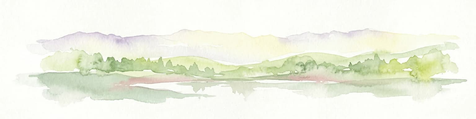
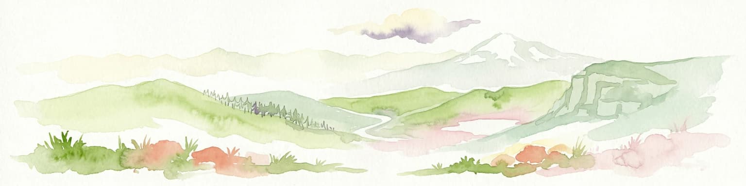
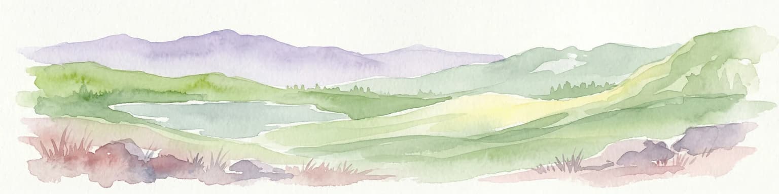
Mavrovo National Park landscape and geographic character

The physical landscape of Mavrovo National Park is defined by three major Alpine mountain systems arranged in a triangular configuration across the western highlands of North Macedonia. The Šar Mountains form the northern and western boundary, while the Korab Mountains occupy the southwestern portion, and the Bistra Mountains extend through the central and eastern sections. These ranges feature chains of snow-capped, jagged peaks rising above broad alpine pastures and grassy plateaus. Between the mountain systems, the Radika River has excavated a spectacular gorge exceeding 25 kilometers in length, where vertical limestone cliffs soar more than 300 meters above the rushing waters below. The lowest point in the park reaches approximately 600 meters where the Mala Reka stream joins the Radika River, while the highest elevation at Golem Korab reaches 2,764 meters, making it not only the park's tallest peak but also the highest point in all of North Macedonia. The landscape also incorporates dramatic karst formations with caves, numerous glacial lakes perched in cirques and basins throughout the Alpine zone, and the prominent waterfall representing the tallest vertical drop in the entire Balkan Peninsula.

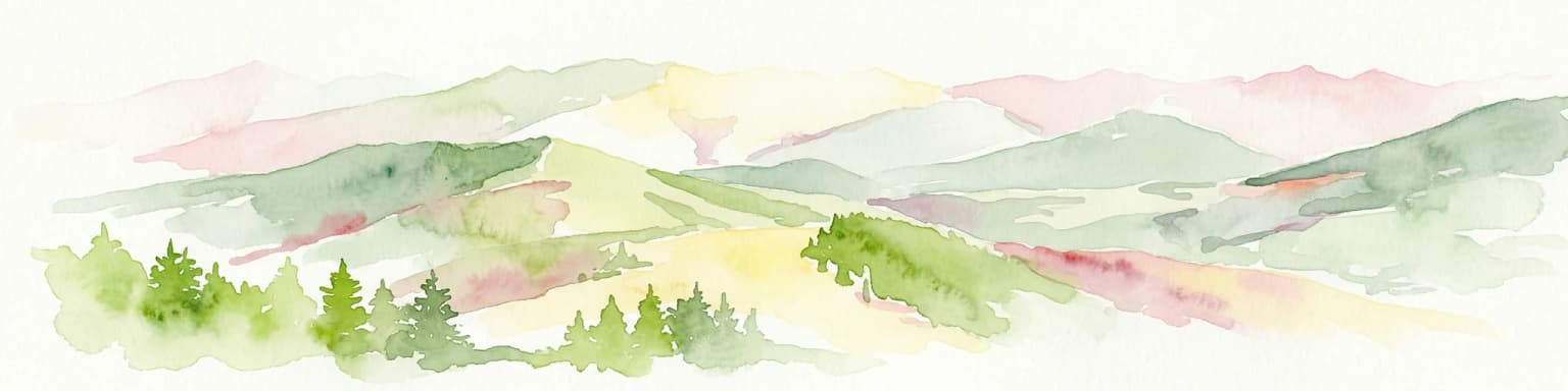
Mavrovo National Park ecosystems, habitats, and plant life

The ecological diversity of Mavrovo National Park stems from the interplay of multiple climatic influences across dramatic elevation gradients, creating a remarkable concentration of habitats within a relatively compact area. The park supports six distinct life zones—a rare phenomenon for such a limited territory—which collectively harbor 22 distinct forest ecosystems and 16 grassland communities. Dense forest vegetation cloaks the mountain slopes below the alpine zone, while open pastures dominate the higher elevations. This habitat diversity supports extraordinary botanical richness: more than 1,300 species of herbaceous plants and 145 tree species thrive within the park's boundaries, with approximately 40 percent representing relict species surviving from earlier geological epochs or endemic taxa found nowhere else on Earth. The region's significance as a biogeographical crossroads where major climatic transitions have occurred through history explains the coexistence of species from the Ice Age and the Tertiary period within the same landscape. Notable botanical treasures include the Macedonian pine and Whitebark pine as surviving tertiary relicts, the endemic Greek maple, the uncommon yew in this latitude, and the distinctive Macedonian fir—a hybrid conifer representing a remnant of late Tertiary vegetation.

Mavrovo National Park wildlife and species highlights

Mavrovo National Park supports remarkable faunal diversity, with more than 140 bird species inhabiting its forests and alpine zones, including rare raptors such as hawks, eagles, and vultures. The park's mammal population encompasses at least 39 species, featuring prominent inhabitants including bears, several deer species, wild goats, otters, and wolves. Most critically, Mavrovo serves as one of only three remaining habitats for the Balkan lynx, a rare and endangered subspecies with a permanent population of approximately 18 individuals concentrated in the western and central areas of the park. This makes the park globally significant for lynx conservation. Beyond mammals and birds, the park supports 11 amphibian species and 12 reptile species, reflecting the diverse ecological niches provided by its varied terrain and habitats. The combination of old-growth forests, Alpine meadows, karst cave systems, and wetland areas creates a mosaic of environments supporting this exceptional wildlife diversity.

Mavrovo National Park conservation status and protection priorities

Mavrovo National Park represents North Macedonia's premier conservation priority as the country's largest protected area and a critical stronghold for globally threatened species. The park's most significant conservation value lies in its role as one of only three remaining habitats for the Balkan lynx, with approximately 18 individuals maintaining a permanent population in the western and central sectors. This makes the park essential for the survival of this critically endangered subspecies. The protection of tertiary relict species—including the Macedonian pine, Whitebark pine, and Macedonian fir—preserves genetic lineages that have survived since ancient geological periods and exist nowhere else in comparable populations. The presence of six life zones supporting 22 forest and 16 grassland ecosystems demonstrates the park's importance for maintaining ecological complexity and biodiversity. Conservation management operates through a zoning system that designates strict nature reserves with maximal protection, managed reserves permitting sustainable use, and tourist zones, providing a framework that balances ecological preservation with controlled visitor access.

Mavrovo National Park cultural meaning and human context

The Mavrovo region contains meaningful cultural heritage connected to the park's landscape. The village of Mavrovo gives its name to the park, lake, and surrounding region, and represents one of the larger settlements within the protected area. Nearby stands the Saint Jovan Bigorski Monastery, a significant religious site featuring a renowned carved wooden iconostasis representing traditional Macedonian woodcarving craftsmanship. The village of Galičnik within the park's boundaries maintains centuries-old folklore traditions, preserving cultural practices that have endured through generations. The submerged church of St. Nicholas in Lake Mavrovo provides a unique visual element linking the park's natural and cultural dimensions, its remains visible beneath the reservoir's surface adding a distinctive historical character to the landscape.

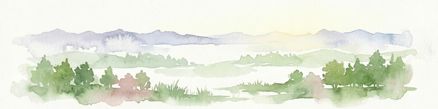
Top sights and standout views in Mavrovo National Park

Mavrovo National Park combines dramatic Alpine scenery with extraordinary biological significance in North Macedonia's largest protected area. The three mountain ranges—Šar, Korab, and Bistra—create a spectacular backdrop of jagged peaks exceeding 2,700 meters, while the Radika gorge cuts dramatically between them. The park harbors one of the world's last surviving populations of the Balkan lynx, making it globally important for conservation. Botanical treasures include endemic tertiary relicts like the Macedonian pine and Macedonian fir that exist only in this corner of the Balkans. The highest waterfall in the Balkans, alpine bogs from the Ice Age, karst cave systems, and glacial lakes complete a landscape of remarkable geological and ecological diversity.

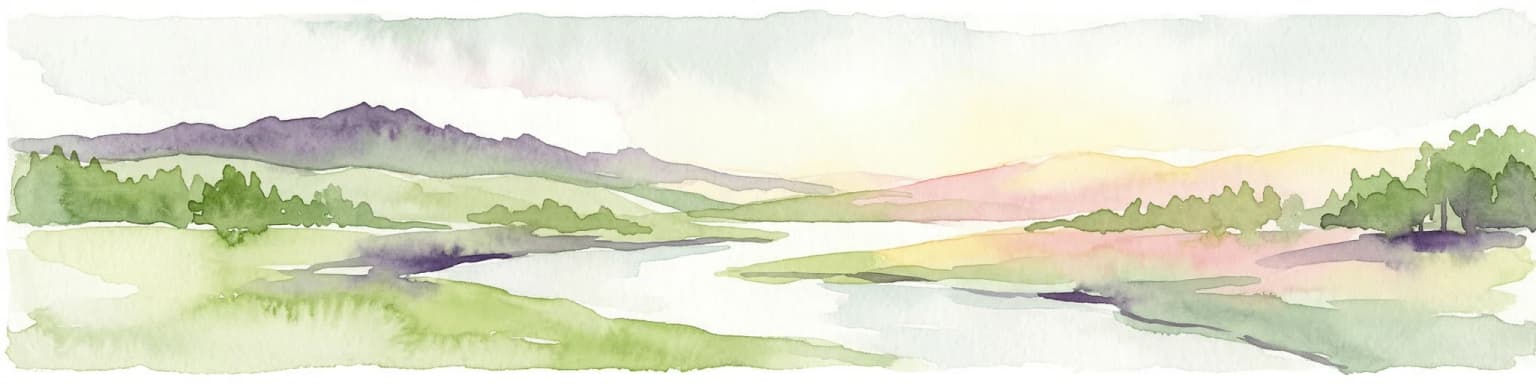
Best time to visit Mavrovo National Park

Mavrovo National Park offers distinct seasonal characteristics shaped by its Alpine setting. Summer months bring warm conditions in the valleys and pleasant temperatures on the higher trails, making this the most popular period for hiking and exploration. The spring and early summer seasons showcase vibrant wildflower displays across the alpine meadows, while autumn transforms the forests with rich color variations. Winter brings snow to the higher elevations and creates a dramatically different character, with the lake often freezing and the mountains wearing snowy caps. Each season reveals different aspects of the park's landscapes and ecosystems, though visitors should be prepared for variable mountain weather regardless of the season chosen.

Park location guide

Geography guide, regional context, and park location map for Mavrovo National Park

Mavrovo National Park park geography, regions, and map view in North Macedonia
Understand where Mavrovo National Park sits in North Macedonia through a broader geographic reading of the surrounding landscape, nearby location context, and its mapped position within the national park landscape.

How Mavrovo National Park fits into North Macedonia

North Macedonia is a landlocked country in Southeast Europe, constituting the northern third of the historical region of Macedonia. It gained independence from Yugoslavia in 1991 and operates as a unitary parliamentary republic. The country is known for its diverse ethnic composition, with Macedonians forming the majority and Albanians as a significant minority, along with Turks, Roma, Serbs, and other groups.

Wider geography shaping Mavrovo National Park in North Macedonia

North Macedonia is located in the central part of the Balkan Peninsula in Southeast Europe. It is landlocked, bordered by Greece to the south, Albania to the west, Bulgaria to the east, Kosovo to the northwest, and Serbia to the north. The terrain varies from mountainous regions to valleys and plains.

Map view of Mavrovo National Park

Use this park location map to pinpoint Mavrovo National Park in North Macedonia, understand its exact geographic position, and read its mapped placement within the surrounding landscape more clearly.

Pigeon | © OpenStreetMap contributors

Location context for Mavrovo National Park

Mavrovo and Rostuse Municipality
Park atlas

Map the surrounding protected landscapes, compare their diverse ecosystems, and trace connected terrain across the Balkan region.

Discover National Parks and Protected Areas Near Mavrovo National Park
After exploring Mavrovo National Park's unique alpine mountains and Balkan lynx habitat, delve into other protected areas in North Macedonia and adjacent countries. Compare diverse landscapes, conservation priorities, and mapped park geography to expand your understanding of the regional protected-area network.
Watercolor illustration of rolling green hills and distant mountains under a soft sky
National parkDibër County

Lurë-Dejë Mountain National Park: Mapped Protected Landscape and Glacial Lake Geography

Dibër County's alpine protected area with unique glacial lakes.

Delve into the detailed geographic context and mapped protected area of Lurë-Dejë Mountain National Park, an essential natural landscape in Albania's Dibër County. This park is renowned for its rare chain of twelve glacial lakes, situated at high elevations amidst dramatic alpine terrain. Its protected status ensures the preservation of significant old-growth forest ecosystems, including the critically endangered Balkan pine, contributing to its recognition as an Important Bird and Plant Area. Explore the park's distinctive terrain, from its soaring mountain peaks to its unique alpine meadows, all within a comprehensive geographic atlas framework.

Area
202.42 km²
Established
1966
IUCN
II
Relief
Mountain
National parkKosovo

Sharr Mountains National Park: Kosovo's Alpine Protected Landscape and Geographic Atlas

Explore its dramatic peaks and glacial terrain.

Sharr Mountains National Park in Kosovo is a prime example of dramatic alpine topography, featuring jagged peaks, steep glacial valleys, and clear evidence of ancient glacial shaping. This protected area safeguards critical ecosystems, including extensive old-growth forests and diverse alpine meadows, supporting notable wildlife conservation efforts. Its scenic ridgelines, glacial lakes, and mountain streams define the park's natural landscape, offering rich context for atlas-based geographic discovery within the Balkans.

Relief
Mountain
Scope
Terrestrial
Watercolor illustration of mountains, a lake, and rolling hills with grassy vegetation.
National parkElbasan County

Shebenik National Park: Mapped Protected Landscape and Glacial Terrain Atlas

Explore Elbasan County's significant mountain wilderness and protected natural features.

Shebenik National Park is a protected national park in Elbasan County, Albania, notable for its dramatic glacial terrain and extensive ancient forests. This park offers a deep dive into Albania's natural landscape, featuring 14 glacial lakes and serving as vital habitat. Its position within the Balkan Peninsula's geography makes it a key point of reference for understanding protected areas and mountain wilderness within a structured atlas.

Area
345.079 km²
Established
2008
IUCN
II
Relief
Mountain
National park

Dajti Mountain National Park: Albania's Accessible Protected Mountain Landscape for Geographic Discovery

Explore the mapped terrain and diverse ecosystems of this significant national park.

Dajti Mountain National Park is a prime example of a protected mountain landscape central to Albania's geography. Situated near Tirana, its rugged karst topography, steep limestone ridges, and varied elevation create distinct ecological zones. This atlas-focused entry details the park's terrain, notable geological features like Pellumbas Cave, and its role as a significant protected area offering rich mapped landscape context.

Area
293.84 km²
Established
1966
IUCN
II
Relief
Mountain
Watercolor painting of a landscape with green trees, rolling hills, and distant mountains under a light sky
National parkMunicipality of Bitola

Pelister National Park: North Macedonia's Oldest National Park and Alpine Protected Landscape

Explore unique glacial features and endemic forests within Municipality of Bitola.

Pelister National Park, a pioneering protected area in North Macedonia, offers a rich tapestry of alpine geography and unique geological formations. This page provides detailed information on the park's landscape, including its dramatic mountain massif within Municipality of Bitola, the rare Macedonian pine forests, the striking 'stone rivers' formed by ancient glacial processes, and the serene Pelister Eyes glacial lakes. Discover the park's mapped boundaries and its significance as a conservation heritage site within the Balkan Peninsula.

Area
171.5 km²
Established
1948
IUCN
II
Visitors
30K annual
Watercolor painting of a river flowing through a valley with mountains and greenery
National parkKorçë County

Prespa National Park: Protected Landscape and High-Altitude Lakes in Korçë County, Albania

Explore the geography and mapped boundaries of this vital national park.

Prespa National Park, located in Korçë County, Albania, is a protected area characterized by its significant high-altitude tectonic lakes, dramatic mountain landscapes, and vital wetland habitats. This entry provides a structured atlas-style overview of the park's geographic identity, its protected landscape features, and its ecological importance, serving as a key point of reference for understanding this unique Balkan region.

Area
276.13 km²
Established
1999
IUCN
II
Watercolor painting showing a mountainous landscape with a lake, green hills, and pink flowers
National park

Alps of Albania National Park: Explore Albania's Largest Protected Alpine Wilderness

Dramatic karst, glacial valleys, and high-altitude ecosystems await.

The Alps of Albania National Park offers an expansive view into one of the Balkans' most significant mountain protected areas. This national park encompasses a spectacular landscape characterized by towering limestone peaks, deep glacial valleys carved over millennia, and intricate karst formations like Grunas Canyon. Its pristine wilderness protects diverse high-altitude ecosystems and unique geological features, serving as a key destination for understanding regional geography and protected landscapes.

Area
828.447 km²
Established
2022
IUCN
II
Relief
Mountain
National parkKosovo

Bjeshkët e Nemuna National Park: Kosovo's Largest Alpine Protected Landscape

Explore dramatic mountains, glacial lakes, and diverse ecosystems.

Delve into the protected geography of Bjeshkët e Nemuna National Park, Kosovo's expansive national park located in the Accursed Mountains. This atlas entry details its significant alpine terrain, from dense forests to high-altitude meadows, and highlights the presence of glacial lakes like Liqenat. Understand its role as a vital conservation corridor and a key component of the Balkan's natural heritage.

Area
630.28 km²
Established
2012
IUCN
II

Common questions about visiting, size, designation, and location context for Mavrovo National Park

Mavrovo National Park FAQs for park facts, access, geography, and protected area context
Find quick answers about Mavrovo National Park, including protected-area facts, park geography, trail and visitor context, and how the park fits into its surrounding country and regional landscape.
MoriAtlas Explorer

Continue Your Protected Areas Search Across the Global Atlas

Deepen your exploration by continuing the structured search for national parks and protected areas worldwide. Utilize the comprehensive filtering capabilities to compare different conservation landscapes and refine your understanding of global park geography. Discover more about the distribution and characteristics of protected natural areas.

Global natural geography