
West
Lastovo Nature Park
Mapped karst terrain, ancient architecture, and natural island geography.
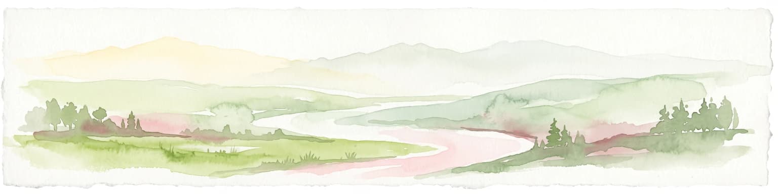
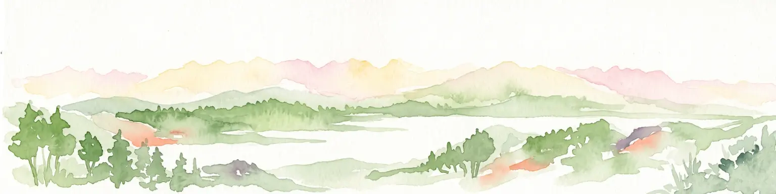
Lastovo Nature Park, in Croatia. Landscapes: hills, islands, and caves.
- Area
- 46.87 km²
- Established
- 2006
- IUCN
- V
- Relief
- Upland

Explore the geographic distribution and landscape context of nearby protected lands
Compare protected areas near Mljet National Park, ordered by geographic distance. They include Lastovo and Biokovo.

Croatia's green island sanctuary of karst lakes and Benedictine heritage
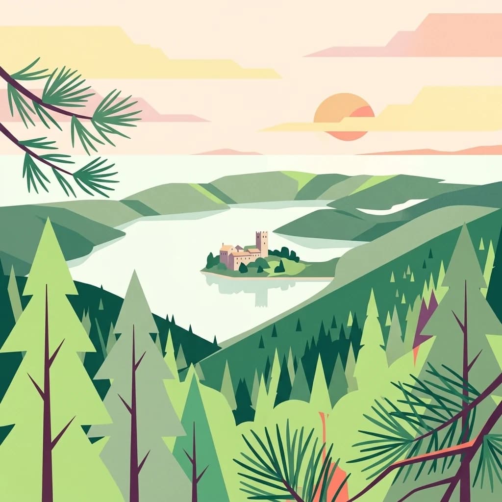
Mljet National Park occupies the western third of the island of Mljet in southern Croatia, protecting an extraordinary landscape of karst terrain, saltwater lakes, and dense Mediterranean forests. Established on November 11, 1960, it represents the first institutionalized attempt to preserve a pristine ecosystem in the Mediterranean region. The park encompasses approximately 5,375 hectares of land and surrounding sea, including the famous Veliko jezero (Great Lake) and Malo jezero (Small Lake)—two unique marine lakes that were once freshwater bodies thousands of years ago. These interconnected lakes, connected to the open sea through narrow channels, create a distinctive geological and oceanographic phenomenon rare in the world's karst landscapes. The park is often called the "Green Island" due to its lush vegetation, which covers over 90% of its surface and represents some of the most well-preserved Mediterranean forest in the Adriatic region.
See the ranked park cluster in its geographic setting
Distance-ranked conservation landscapes and regional geography surrounding Mljet National Park

West
Mapped karst terrain, ancient architecture, and natural island geography.
Lastovo Nature Park, in Croatia. Landscapes: hills, islands, and caves.

Northwest
Explore Dalmatia's premier protected mountain range along the Adriatic.
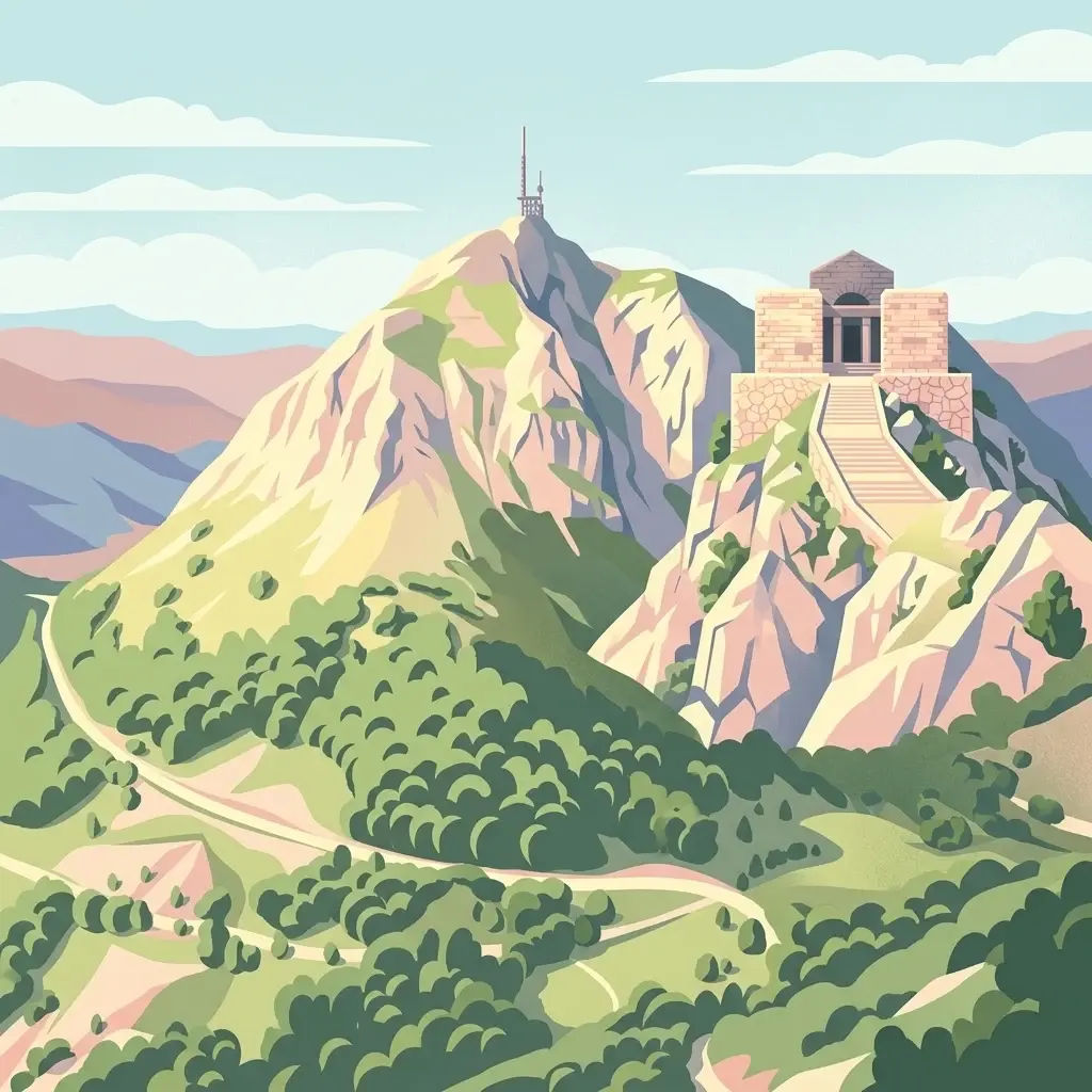
Biokovo Nature Park is a striking protected landscape situated in the Dalmatia region of Croatia, characterized by its immense limestone massifs that create a formidable barrier between the coast and the continental interior. This protected area is defined by its classic karst topography, featuring a complex network of sinkholes and caves, and offers unparalleled views from peaks like Sveti Jure. MoriAtlas provides detailed geographic context for understanding Biokovo Nature Park's unique terrain, mapped boundaries, and its significant role in the regional landscape.

East
High-altitude karst massif and Dinaric coastal mountain.
Orjen rises as a dramatic limestone block above the Adriatic coast of Montenegro, forming a high-altitude sanctuary defined by intensive Pleistocene glaciation and record-breaking annual precipitation. This protected landscape encompasses extensive dolines, roches moutonnées, and specialized cold-air refugia, providing a detailed study of sub-Mediterranean highland vegetation and complex subterranean karst drainage.

Northeast
Explore the mapped geography and protected landscape of this vital Balkan natural area.
Sutjeska National Park, Bosnia and Herzegovina's inaugural national park, protects a dramatic mountainous region defined by primeval forests and its highest peak, Maglić. As a strict nature reserve, Perućica's ancient trees represent a rare ecological treasure within the Balkan landscape. This page offers a detailed look at the park's protected boundaries, its diverse natural terrain, and its significant geographic setting for atlas exploration.

East
Dinaric massif rising above the Adriatic coastal basin.
Lovćen National Park, in Montenegro. Landscapes: mountains, cliffs, and caves.

Southwest
Mapped boundaries and natural terrain of a key Italian national park.
Gargano National Park, in Apulia, Italy. Landscapes: mountains, forests, and wetlands.

East
High-altitude mountain geography and glacial plateau systems
Durmitor National Park, in Žabljak, Montenegro. Landscapes: mountains, plateaus, and canyons.

East
An alpine river system spanning the Montenegro and Albania border
The Cijevna represents a striking natural corridor carved into the Prokletije mountains. This protected landscape is defined by its deep V-shaped valleys, high-altitude gorges, and seasonal discharge patterns that sustain important freshwater biodiversity across the Balkan highlands.

Northwest
Explore the mapped protected landscape and karst geography.
Krka National Park, in Šibenik-Knin County, Croatia. Landscapes: rivers, waterfalls, and wetlands.

East
Karst Terrain and Transboundary Protected Landscapes
Lake Skadar, in Montenegro. Landscapes: cliffs, lakes, and rivers.

Northwest
Explore the mapped geography and unique protected island terrain.
Kornati Islands National Park, in Šibenik-Knin County, Croatia. Landscapes: islands, cliffs, and caves.

East
Dramatic karst, glacial valleys, and high-altitude ecosystems await.
The Alps of Albania National Park offers an expansive view into one of the Balkans' most significant mountain protected areas. This national park encompasses a spectacular landscape characterized by towering limestone peaks, deep glacial valleys carved over millennia, and intricate karst formations like Grunas Canyon. Its pristine wilderness protects diverse high-altitude ecosystems and unique geological features, serving as a key destination for understanding regional geography and protected landscapes.

East
Discover Montenegro's oldest national park with mapped terrain and regional geography.
Biogradska Gora National Park, in Montenegro.

Southeast
A large-scale saline nature park near Ulcinj in southern Montenegro.
Saline Ulcinj represents a significant coastal wetland complex nestled in the Buna delta. This protected landscape is defined by its unusual industrial history and modern transition into a vital nature reserve, characterized by expansive saline pools and shallow mudflats. Its geographic footprint offers a clear look at how coastal water management shapes the surrounding terrain and provides essential stopover habitats for Adriatic migratory birds.

Southeast
A critical Balkan freshwater protected area.
The Lake Shkodër Nature Reserve serves as a foundational protected landscape in northern Albania, encompassing the extensive shoreline and riverine floodplains of Lake Skadar. This geographic entity showcases a transition from fertile lowlands to mountainous ridges, offering a detailed look at how hydrologic processes and alpine proximity define Balkan wetland habitats.

Southeast
Mapped protected landscape in Shkodër County
The Buna River-Velipojë Protected Landscape encompasses the crucial junction of riverine systems and the Adriatic Sea. This protected area features a mosaic of marshes, lagoons, and alluvial forests that form a significant migratory corridor in northwestern Albania.

Northeast
Explore mapped geography and natural landscapes in this Balkan national park.
Drina National Park is a protected area in eastern Bosnia and Herzegovina, celebrated for its striking Drina River canyon landscape. As a national park, it preserves vital habitats for endemic species such as the Serbian spruce and provides a crucial geographic anchor for regional conservation. Its deep gorges and steep slopes offer a rich context for understanding the natural terrain and mapped boundaries within the broader Balkan geography.
Geographic measurements, not driving distances
Calculated between the nearest points of both park boundaries.
Estimated from one mapped park location to the nearest boundary of the other park.
Estimated between the mapped locations of both parks.
Explore the map, landscapes, and protection details for Mljet National Park.