Mori Atlas logo
Nearby park discovery

Mapping regional landscapes and proximity for surrounding protected natural terrain

Parks near Mount Elgon National Park

Compare protected areas near Mount Elgon National Park, ordered by geographic distance. They include Saiwa Swamp and Ruma.

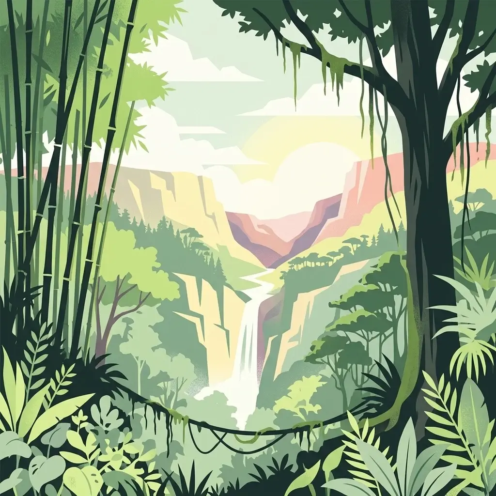
A stylized digital illustration of a lush tropical valley with a waterfall in the center, framed by bamboo stalks on the left and a large tree with hanging vines on the right.

Transboundary mountain park protecting an extinct volcano's unique ecosystems

Mount Elgon National Park

Mount Elgon National Park is a transboundary protected area spanning the border between Uganda and Kenya, centered around Mount Elgon, an extinct shield volcano that rises dramatically from the eastern edge of the East African Rift. The park covers approximately 1,279 square kilometers, with the Ugandan portion accounting for the majority of the protected area at 1,110 square kilometers and the Kenyan section covering 169 square kilometers. This unique geographic position makes it one of the few parks in Africa that is administratively divided between two countries, each managed by its respective wildlife authority. The mountain serves as a critical water catchment for the Nzoia River, which flows into Lake Victoria, and the Turkwel River, which feeds Lake Turkana, making the park ecologically important far beyond its immediate boundaries. The park's elevation gradient from lower slopes to summit moorland creates a remarkable diversity of habitats, supporting species found nowhere else on Earth.

Location
Uganda
Park type
National park
Established
1968
Area
1,279 km²
Mount Elgon National Park Protected Area
Regional park map

See the ranked park cluster in its geographic setting

Nearby parks around Mount Elgon National Park

This regional map shows the same 19 nearby parks ranked below around Mount Elgon National Park. Select a ranked marker to highlight that park’s boundary where boundary data is available.
Reference park: Mount Elgon National ParkRanked nearby park19 nearby parks shown
19 nearby parks

Distance ranked regional park geography and surrounding protected landscapes

Parks and Protected Areas Geographically Near Mount Elgon National Park

Examine the ranked collection of protected areas situated geographically near Mount Elgon National Park by evaluating spatial separation and regional direction metrics. Structured boundary data and recorded environmental characteristics provide reliable comparison signals for analyzing surrounding conservation landscapes.
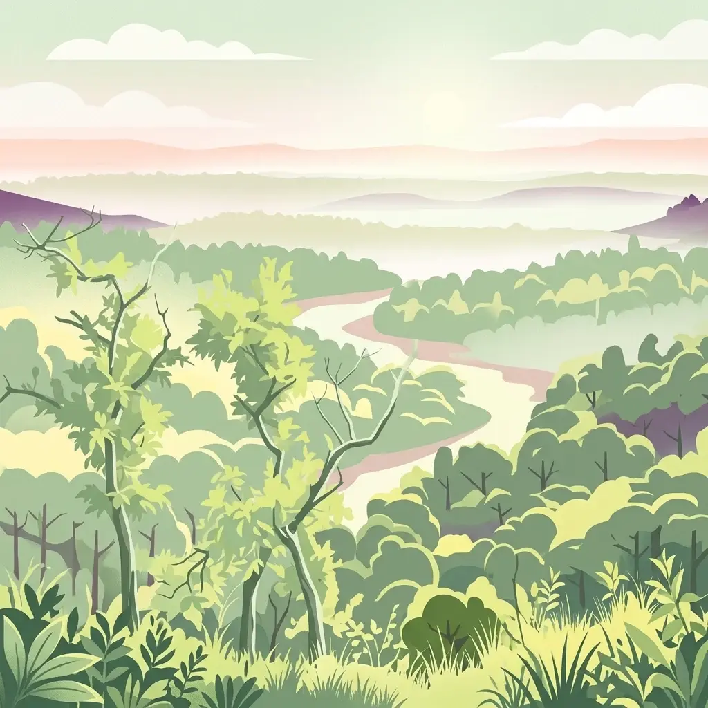
An illustration of a lush green forest with a winding river flowing through the center toward distant rolling hills under a soft pastel sky.
National parkTrans-Nzoia County
About 60 km away#1 closest

East

Saiwa Swamp National Park National Park: Mapped Protected Area in Trans-Nzoia County

Explore the geographic context and protected landscape features.

Saiwa Swamp National Park serves as a vital national park within Trans-Nzoia County, Kenya, offering a unique perspective on protected lands. This page details its mapped geography and landscape characteristics, providing essential context for atlas-based exploration of its protected boundaries and regional setting. Understand the specific features that define this important conservation area.

Area
3 km²
Established
1974
IUCN
II
Relief
Lowland
An illustrative digital artwork of an African savanna landscape featuring flat-topped acacia trees, tall grasses, and a winding dirt road with small antelope silhouettes in the distance.
National parkNyanza Province
About 199 km away#2 closest

South

Ruma National Park: Kenya National Park within Nyanza Province Geographic Atlas

Explore its protected landscape and mapped geographic boundaries.

This MoriAtlas entry details Ruma National Park, a designated national park situated in Kenya's Nyanza Province. The focus is on its identity as a protected landscape, its specific geographic footprint, and its representation within a mapped atlas of natural areas. Users can investigate the park's terrain context, its regional placement, and the precise nature of its protected boundaries, offering structured geographic insight.

Area
120 km²
Established
1983
IUCN
II
Relief
Lowland
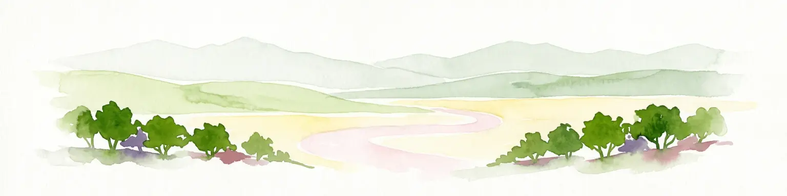
A soft watercolor illustration depicting a pale yellow lake shore with green trees in the foreground and rolling hills in the background.
National parkKenya
About 230 km away#3 closest

Southeast

Lake Nakuru National Park

Geographic boundaries, terrain analysis, and ecosystem context.

Lake Nakuru National Park, in Kenya. Landscapes: lakes, wetlands, and grasslands.

Area
188 km²
Established
1961
IUCN
II
Relief
Lowland
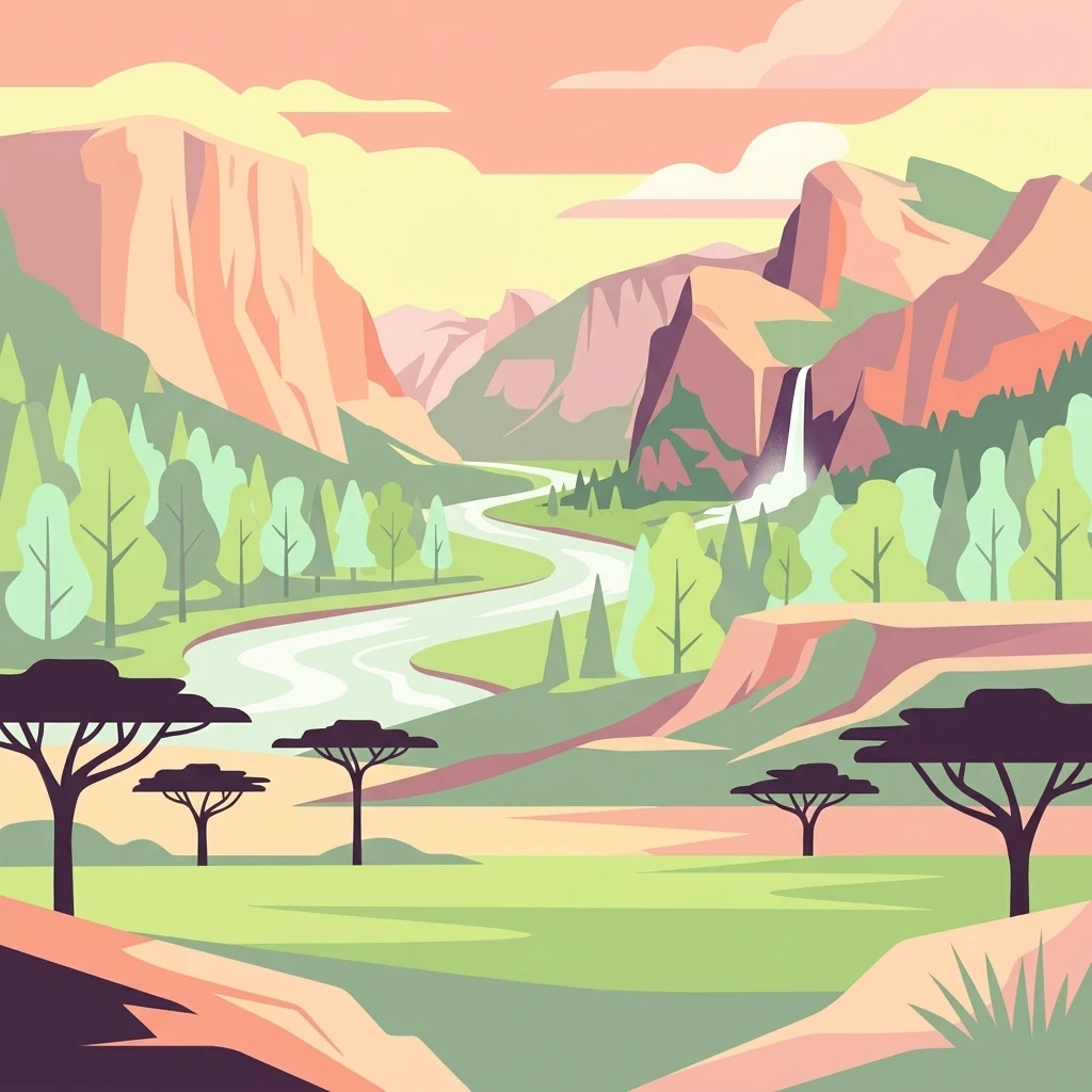
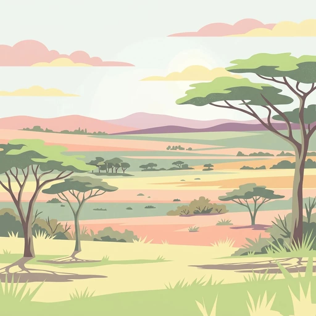
A flat-style digital illustration of an African savanna landscape with a dirt path winding through grassy plains, scattered acacia-like trees, and mesa-style hills under a pink and soft yellow sunrise.
National parkMara Region
About 283 km away#4 closest

South

Serengeti National Park: National Park Atlas and Protected Landscape Discovery

Explore savanna grasslands, regional geography, and mapped park boundaries.

Serengeti National Park, a significant national park within Tanzania's Mara Region, offers an unparalleled view into a vast protected landscape. This page provides access to the park's geographic identity, its defining savanna ecosystem, and its role as a critical component of the regional atlas. Understand the mapped extent of its protected boundaries and the unique natural context that supports its renowned wildlife.

Area
14,763 km²
Established
1940
IUCN
II
Visitors
350K annual
Illustrated landscape with winding river, mountains, acacia trees, and green savannah
National parkKaramoja
About 292 km away#5 closest

North

Kidepo Valley National Park

Explore Uganda's expansive national park mapped geography and wildlife

Kidepo Valley National Park, in Karamoja, Uganda. Landscapes: grasslands and rivers.

Area
1,442 km²
Established
1958
IUCN
II
Visitors
2.3K annual
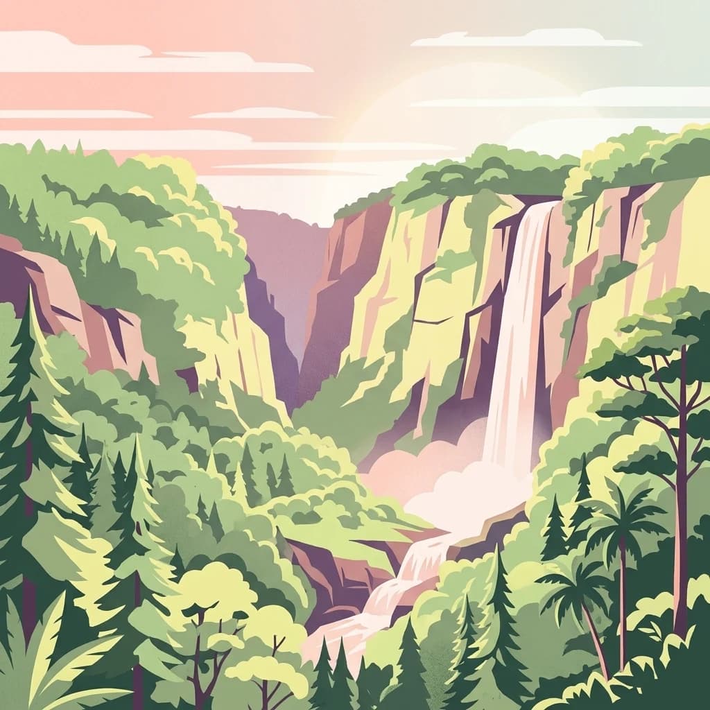
An illustrative style digital painting showing a waterfall plunging from high cliffs into a forested valley during sunrise or sunset.
National parkNyeri County
About 295 km away#6 closest

Southeast

Aberdare National Park: Mapped Protected Landscape in Nyeri County

National Park Geography and Atlas Context

Aberdare National Park is a protected national park located within Nyeri County, Kenya. This entry offers detailed geographic information and map context, highlighting its protected boundaries and landscape characteristics. Users can explore its regional setting, understand its specific terrain features, and discover its significance as a conservation area within the Kenyan geography. Access structured data that clarifies the park's identity as a vital protected landscape.

Area
767 km²
Established
1950
IUCN
II
Relief
Mountain
A digital illustration depicting a narrow canyon with tall, layered rock walls and a prominent tower formation in the center, surrounded by sparse green vegetation.
National parkNakuru County
About 297 km away#7 closest

Southeast

Hell's Gate National Park: National Park Atlas and Mapped Landscape Exploration

Discover Nakuru County's protected terrain and geographic context.

Explore the mapped boundaries and unique geographic identity of Hell's Gate National Park, a protected national park within Kenya's Nakuru County. This detailed atlas view focuses on the park's natural landscape and its place within the regional geography, offering structured discovery of its protected terrain and surrounding context. Understand the visual and geographic essence of this significant conservation area.

Area
68.25 km²
Established
1984
IUCN
II
Relief
Mountain
An illustrative aerial view of an island with multiple volcanic craters and crater lakes surrounded by a large body of water, depicted in a stylized graphic art style.
National parkKenya
About 307 km away#8 closest

Northeast

Central Island National Park: Kenya National Park Atlas and Protected Landscape

Discover the mapped geography and protected area context.

Central Island National Park is a designated national park in Kenya, offering a distinct protected landscape within the country's expansive Rift Valley. This detailed entry focuses on the park's geographic identity and its significance as a protected area, providing users with clear information on its mapped boundaries and regional landscape context. Dive into the specific geography and natural terrain that distinguish Central Island National Park for comprehensive atlas-style exploration.

IUCN
II
Scope
Mixed
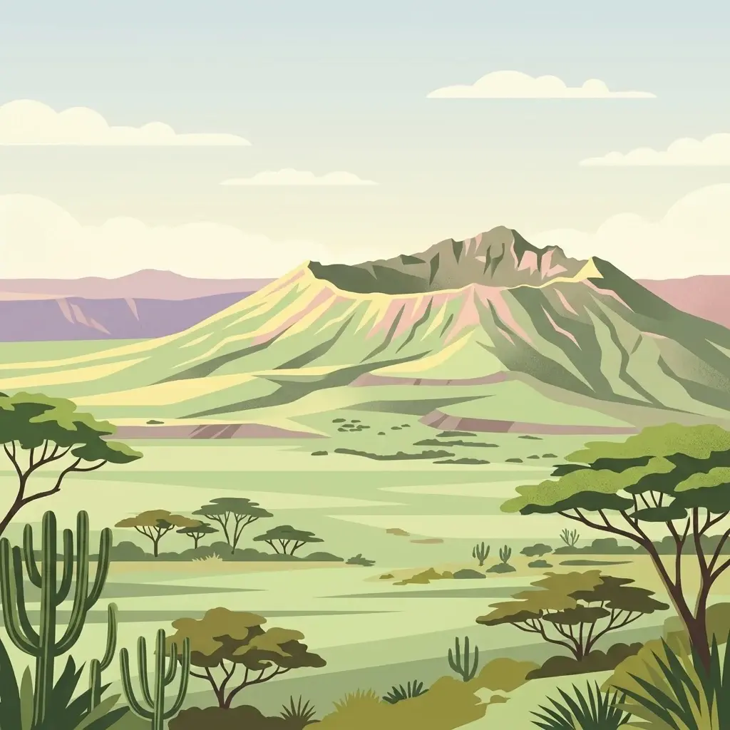
A stylized flat illustration of a dormant volcanic mountain with a large crater at its peak, set in a savanna landscape with acacia trees and cacti in the foreground.
National parkKenya
About 308 km away#9 closest

Southeast

Mount Longonot National Park: Kenya's Mapped Protected Landscape for Atlas Exploration

Discover the natural terrain and park boundaries.

Mount Longonot National Park serves as a vital protected area within Kenya, offering a focused lens for geographical exploration. This national park's defined landscape and mapped boundaries provide essential context for understanding its place in the broader regional geography. Ideal for users seeking detailed information on protected territories, Mount Longonot National Park offers insights into Kenya's natural heritage through an atlas-centric approach.

Scope
Terrestrial
A stylized illustration showing a river surging through a rocky gorge and plunging over a waterfall into a misty pool, surrounded by lush vegetation and cliff sides.
National parkUganda
About 333 km away#10 closest

West

Murchison Falls National Park

Explore mapped boundaries and diverse savanna terrain.

Murchison Falls National Park, in Uganda. Landscapes: rivers, waterfalls, and wetlands.

Area
3,893 km²
Established
1952
IUCN
II
Relief
Lowland
A digital illustration of a mountainous landscape with jagged peaks in the background, a central lake, and foreground vegetation including bamboo stalks and rosette-shaped alpine plants.
National parkKenya
About 337 km away#11 closest

Southeast

Mount Kenya National Park

Kenya's high-altitude Afro-alpine ecosystems and mapped park boundaries.

Mount Kenya National Park, in Kenya. Landscapes: mountains, forests, and rivers.

Area
715 km²
Established
1949
IUCN
II
Relief
Mountain
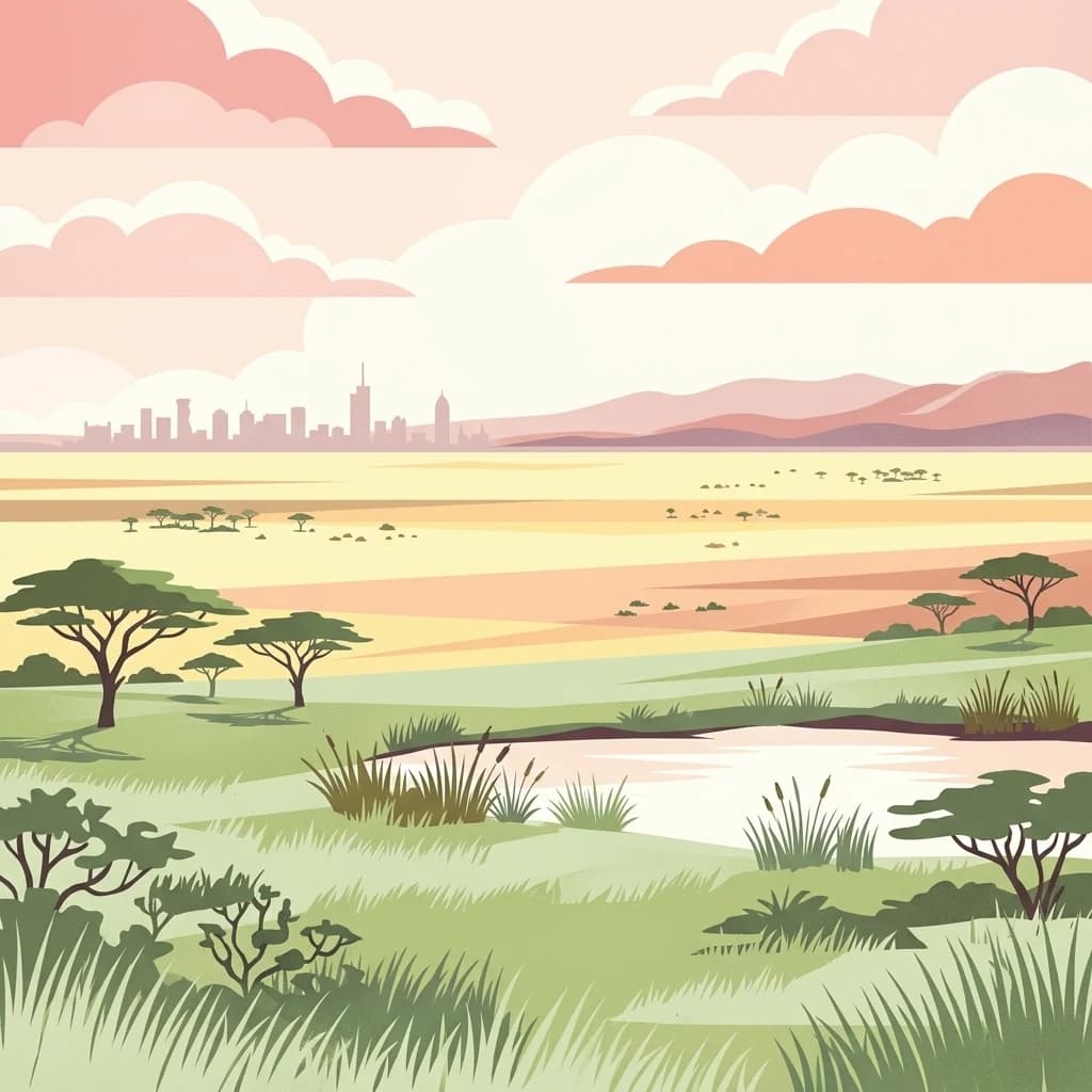
A stylized vector illustration of an African savanna with acacia trees and a small pond in the foreground, with the distant city skyline of Nairobi on the horizon under a pastel sunset sky.
National parkKenya
About 366 km away#12 closest

Southeast

Nairobi National Park

Explore the mapped boundaries and regional context of this Kenyan national park.

Nairobi National Park, in Kenya. Landscapes: grasslands, forests, and woodlands.

Area
117 km²
Established
1946
IUCN
II
Relief
Mixed relief
A flat-style digital illustration depicting a dry, rocky desert landscape with acacia trees in the foreground and a calm lake with distant hills in the background under a soft, pastel-colored sky.
National parkRift Valley Province
About 369 km away#13 closest

Northeast

Sibiloi National Park: National Park with Mapped Geographic Boundaries

Explore the protected landscape of Rift Valley Province.

Sibiloi National Park is a designated national park offering a distinct protected landscape within the broader geographic region of Rift Valley Province, Kenya. This entry focuses on its mapped boundaries and its identity as a key area for conservation, providing a structured view for geographic atlas exploration. Understand the foundational elements of Sibiloi National Park's protected status and its place within regional natural landscapes.

Area
1,570.85 km²
Established
1973
IUCN
II
Relief
Mixed relief
National parkKenya
About 385 km away#14 closest

Southeast

Ol Donyo Sabuk National Park: Kenya's Prominent Highland Volcanic Protected Landscape

Mapped National Park boundaries and montane forest geography.

Ol Donyo Sabuk National Park represents a vital protected natural area situated in Kenya's central highlands. Its landscape is dominated by a striking volcanic peak, offering a unique montane forest environment and significant primate habitat. This entry provides essential details for atlas exploration, focusing on the park's geographic placement, its protected landscape features, and the ecological context it represents within Kenya's protected areas system.

IUCN
II
Relief
Mountain
Scope
Terrestrial
Water
Minor water
A flat-style digital illustration showing a circular crater lake surrounded by forested slopes and rocky terrain under a soft sun, with an expansive arid plain and distant hills in the background.
National parkMarsabit County
About 403 km away#15 closest

East

Marsabit National Park: Protected Area Identity and Geographic Setting in Kenya

Explore mapped landscape and regional park geography.

Marsabit National Park represents a critical protected area within the geographic expanse of Marsabit County, Kenya. This entry provides essential context for understanding the park's specific identity as a national park, its delineated boundaries, and its place within the natural landscape. For those interested in atlas-style exploration, this park detail offers foundational geographic information and insights into its protected status, anchoring its role in a broader discovery of Kenya's natural heritage.

Area
1,554 km²
Established
1949
Relief
Mountain
Climate
Subtropical
Digital illustration of a tranquil river winding through a dry, grassy African savannah with sparse trees and distant rolling hills under a soft light.
National parkSouth Sudan
About 408 km away#16 closest

Northwest

Nimule National Park: South Sudan's National Park Geography and Protected Boundaries

Explore the terrain and mapped context of this protected landscape.

Nimule National Park represents a key protected area in South Sudan, providing essential geographic data for atlas exploration. This detail page focuses on the park's mapped boundaries, its role as a national park, and its contribution to the regional landscape context of East Africa. Understand the specific terrain and protected land identity that defines this important natural area within the country.

Area
410 km²
Established
1954
IUCN
II
Scope
Terrestrial
National parkEastern Province
About 420 km away#17 closest

East

Meru National Park National Park: Mapped Protected Boundaries and Eastern Province Geography

Explore regional landscape context and natural terrain.

Meru National Park represents a vital national park entity within the Eastern Province of Kenya, offering unique opportunities for structured geographic and atlas exploration. This page details its protected landscape identity, emphasizing mapped boundaries and the surrounding regional context. Users interested in conservation lands and natural terrain can find comprehensive details on Meru National Park's geographic significance and its role within the broader atlas of protected areas.

Area
870.44 km²
Established
1966
IUCN
II
Relief
Upland
A flat-style digital illustration of an open savanna with scattered acacia trees, rolling hills in the background, and a soft, warm-toned sunrise sky.
National parkKiruhura District
About 447 km away#18 closest

Southwest

Lake Mburo National Park: Uganda's National Park in Kiruhura District

Explore its mapped boundaries and regional geography.

Delve into the protected landscape of Lake Mburo National Park, situated in Uganda's Kiruhura District. This entry provides essential geographic context, mapping its boundaries and regional setting for users interested in detailed atlas exploration of protected areas and natural landscapes.

Area
260 km²
Established
1983
IUCN
II
Relief
Lowland
National parkMwanza Region
About 448 km away#19 closest

Southwest

Saanane Island National Park: Tanzania National Park with Mapped Protected Landscape Identity

Discover its geographic context within Mwanza Region and atlas exploration value.

Saanane Island National Park represents a key protected area within the Mwanza Region of Tanzania. This detailed entry focuses on its identity as a national park, emphasizing its mapped boundaries and geographic presence. It's designed for users seeking a structured understanding of its landscape context and its place within a broader atlas of protected natural areas, offering factual, geography-focused discovery.

Area
2.8 km²
Established
2013
IUCN
II
Visitors
5.3K annual
Distance methodology

Geographic measurements, not driving distances

How nearby park distances are calculated

Distances use park boundaries whenever the available geometry allows it. When one or both boundaries are missing, the mapped park locations provide a clearly labelled estimate. Every value represents straight-line geographic separation and does not use roads or routing.

Boundary distance

Calculated between the nearest points of both park boundaries.

Location-to-boundary estimate

Estimated from one mapped park location to the nearest boundary of the other park.

Mapped-location estimate

Estimated between the mapped locations of both parks.

MoriAtlas Explorer

Mount Elgon National Park

Explore the map, landscapes, and protection details for Mount Elgon National Park.