Mori Atlas logo
Park earthquake history

A structured examination of documented seismic events mapped by proximity to regional fell landscapes.

Historical Earthquake Records and Recorded Seismic Activity Near Pallas-Yllästunturi National Park

This collection presents a catalogue of recorded earthquakes with epicentres situated in the vicinity of Pallas-Yllästunturi National Park. Each entry tracks specific event data including magnitude, focal depth, and calculated distance from the park boundary to provide a clearer picture of regional seismic history. The records are sourced from established geological datasets to ensure transparency for researchers and those interested in the geographic context of the Northern Lapland fells.

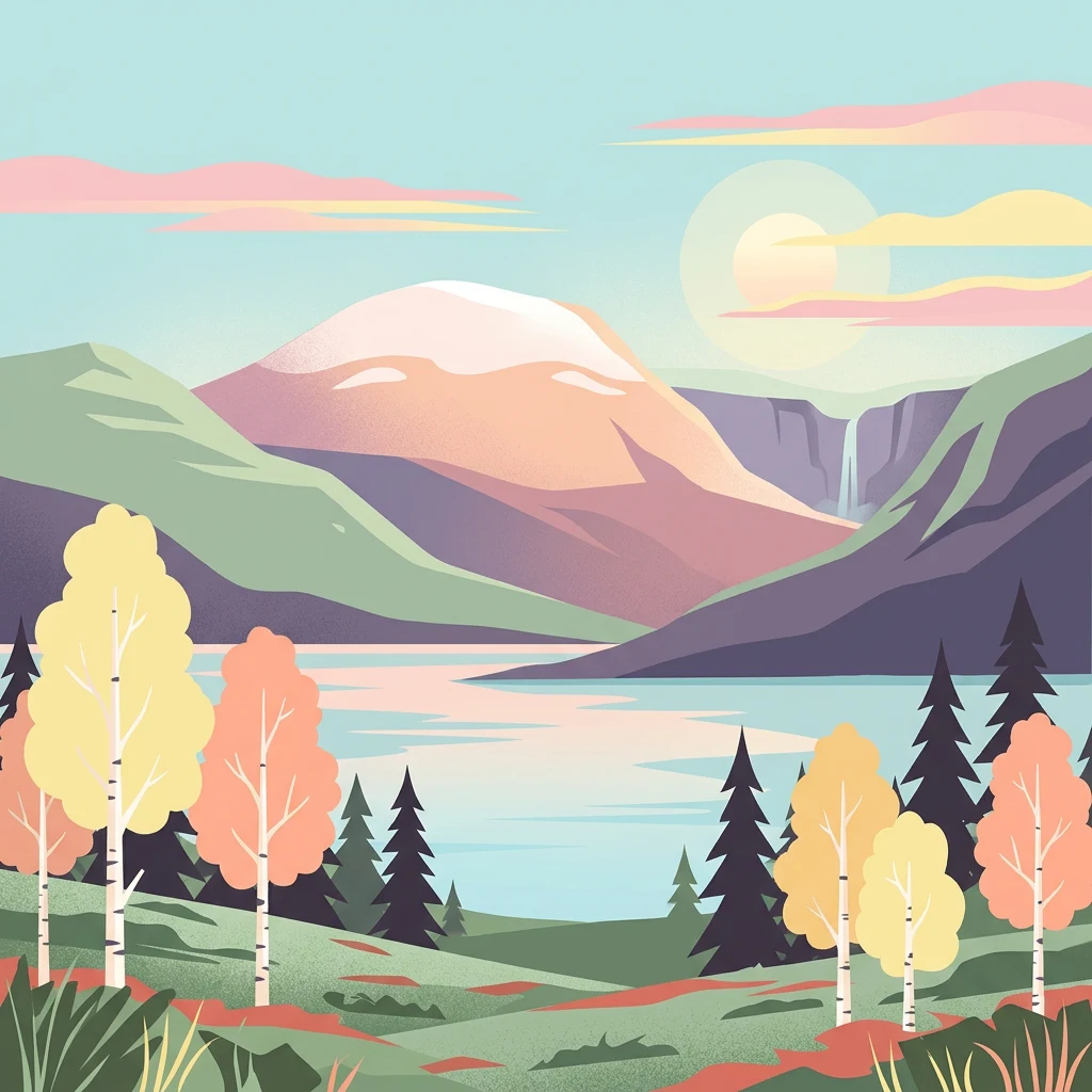
Stylized illustration of a mountain with snow, a lake, autumn-colored trees, and a waterfall in the background

Finland's most visited national park protecting a 100-kilometre chain of ancient fells and boreal taiga forests in Arctic Lapland

Pallas-Yllästunturi National Park

Pallas-Yllästunturi National Park is Finland's third largest national park, spanning approximately 1,020 square kilometres across the municipalities of Enontekiö, Kittilä, Kolari and Muonio in Western Lapland. The park protects a dramatic landscape dominated by a chain of rounded fells stretching for roughly 100 kilometres, which represent the worn-down remains of an ancient folded mountain range dating back about three billion years. The highest peak, Taivaskero in the Pallastunturi Fells, rises 809 metres above sea level. The park lies within the boreal forest zone, featuring extensive taiga forests, mires, and open fell terrain. Established in 1938 and significantly expanded in 2005, Pallas-Yllästunturi has become Finland's most popular national park, with visitor numbers exceeding 590,000 in 2024. The landscape of Pallastunturi Fells has been recognized as one of Finland's national landscapes, reflecting its outstanding scenic and cultural value.

Location
Finland
Park type
National park
Established
2005
Area
1,020 km²
Highest point
809 m
Pallas-Yllästunturi National Park Protected Area

Filter Pallas-Yllästunturi National Park events by distance

Examine earthquakes near Pallas-Yllästunturi National Park

Pallas-Yllästunturi National Park protects 1,020 km² of Finnish subpolar mountains, valleys, forest, woodland, wetlands, lakes, and rivers, reaching 809 metres. Its earthquake catalogue supplies traceable regional evidence and measured proximity without establishing that shaking affected this landscape or forecasting later events.

Sort by
Magnitude
Location

This page describes catalogued earthquakes associated with the park by epicentre location and distance. It does not establish causation, assess current danger, or predict future earthquakes.

No earthquake records match the current filters

Park atlas

Move beyond Pallas-Yllästunturi National Park earthquake records

Find other destinations after Pallas-Yllästunturi National Park

Pallas-Yllästunturi National Park covers 1,020 km² of Finnish subpolar mountains, valleys, forest, wetlands, lakes, and rivers up to 809 metres. Related seismic pages represent other park boundaries and cannot be assumed to have the same setting, consequences, present risk, or future pattern.
Watercolor painting of a landscape with rolling hills, forests, and distant mountains.
National parkFinland
43 km away#1 closest

Northeast

Lemmenjoki National Park: Finland's Protected Landscape Geography

Explore mapped park boundaries and regional natural context.

Lemmenjoki National Park is a vital protected area situated within Finland's vast northern geography. This page details its designation as a national park, offering a clear view of its mapped boundaries and landscape character. Users can explore the park's geographic context within Finland and understand its contribution to the region's network of conservation lands, facilitating structured atlas-style discovery.

Area
2,850 km²
Established
1956
IUCN
Ib
Visitors
21.1K annual
National parkKarasjok Municipality
About 54 km away#2 closest

Northeast

Anárjohka National Park: Mapped Subarctic Wilderness and Protected Landscape

Explore Norway's Finnmarksvidda plateau geography.

Anárjohka National Park, a protected area in Norway's Finnmark region, offers a compelling atlas-level view of subarctic wilderness. The park's landscape is defined by its location on the Finnmarksvidda plateau, featuring rolling birch woodlands, open pine barrens, and extensive wetlands, all mapped within its protected boundaries. This park provides a crucial point of discovery for understanding regional geography, natural terrain, and the interconnectedness of protected lands across northern Europe.

Area
1,409 km²
Established
1976
IUCN
II
Relief
Mixed relief
Watercolor illustration showing a lake, rolling hills, and vegetation.
National parkLapland
104 km away#3 closest

Southeast

Pyhä-Luosto National Park: Ancient Geological Heritage and Fell Landscape

Explore Lapland's southernmost large fell system and deep gorges.

Pyhä-Luosto National Park offers a unique window into Finland's deep geological past and its boreal ecosystems. As a protected area, it encompasses a prominent chain of twelve fells composed of two-billion-year-old quartzite, showcasing the southernmost large fell system in the country. The park's landscape is further defined by features like Isokuru, Finland's deepest gorge, and extensive old-growth forests, providing rich context for map-based discovery and regional geographic understanding within Lapland.

Area
142 km²
Established
2005
IUCN
II
Visitors
198.9K annual
Watercolor painting of a lake surrounded by hills and vegetation
National parkLapland
115 km away#4 closest

East

Urho Kekkonen National Park: Detailed Map and Protected Landscape Exploration in Lapland

Discover Finland's expansive Arctic wilderness and fell terrain.

Urho Kekkonen National Park represents a significant portion of Finland's protected Arctic landscape, offering a rich opportunity for geographic and atlas-based discovery. This national park in Lapland showcases dramatic fell formations, boreal forests, and extensive wetlands, with mapped boundaries that define its wild eastern reaches and more accessible western trails. Users can explore the unique terrain and understand its place within the broader regional geography, appreciating the vastness of this protected natural area.

Area
2,550 km²
Established
1983
IUCN
II
Visitors
435.9K annual
National parkTroms
About 117 km away#5 closest

Northwest

Reisa National Park: Dramatic River Valley and Protected Landscape Atlas

Subarctic terrain and geographic context in Troms, Norway.

MoriAtlas offers detailed geographic context for Reisa National Park, a protected landscape in Norway's Troms county. Explore the park's identity as a significant subarctic river valley, carved by the Reisa River into a dramatic canyon system. This page provides insights into its mapped natural features, regional landscape setting, and its importance within the broader atlas of protected areas. Understand the park's protected boundaries and terrain for structured geographic discovery.

Area
803 km²
Established
1986
IUCN
II
Relief
Mixed relief
National parkTroms
145 km away#6 closest

West

Øvre Dividal National Park: Arctic Alpine Protected Landscape in Troms, Norway

Mapped boundaries and unique ecological terrain of a pristine wilderness.

Øvre Dividal National Park stands as a premier example of Arctic alpine wilderness, meticulously preserved as a national park in Norway's Troms region. This entry facilitates a detailed exploration of its mapped protected boundaries and the distinct elevational ecological zones, from boreal forests to high-altitude tundra. Gain geographic context for this vital landscape, which supports diverse habitats and contributes to Scandinavia's largest contiguous wilderness areas.

Area
750 km²
Established
1971
IUCN
II
Relief
Mountain
Watercolor painting depicting mountain peaks, a lake, and grassy areas in the foreground
National parkTroms
161 km away#7 closest

West

Rohkunborri National Park: Northern Norway's Dramatic Protected Landscape

Explore its mapped terrain, canyon, and alpine ecosystems.

Rohkunborri National Park offers a profound encounter with northern Norway's wild geography. As a designated national park in Troms county, it features the iconic Sørdalen canyon, a dominant geological feature that shapes its diverse terrain. The park's landscape encompasses a rich ecological gradient, from boreal forests to alpine tundra, supporting a variety of wildlife. This protected area is crucial for understanding Scandinavian mountain ecosystems and transboundary conservation efforts, providing rich content for atlas-based exploration of its mapped boundaries and natural context.

Area
571 km²
Established
2011
IUCN
II
Relief
Mountain
National parkNorway
167 km away#8 closest

North

Stabbursdalen National Park: Protected Arctic Landscape and Northernmost Pine Forest Atlas

Explore Finnmark's unique geography and protected terrain.

Stabbursdalen National Park preserves a remarkable ecological boundary, featuring the planet's northernmost Scots pine woodland within a dramatic Arctic landscape. This protected area offers a deep dive into rugged mountain terrain, river valley formations, and vital wetland habitats. As a key component of Norway's protected lands, it provides essential context for understanding regional geography and the limits of forest ecosystems on the mapped landscape.

Area
747 km²
Established
1970
IUCN
II
Relief
Mixed relief
MoriAtlas Explorer

Continue exploring the protected landscape and geography of Pallas-Yllästunturi National Park

Delve deeper into the geographic context and mapped protected area of Pallas-Yllästunturi National Park within the MoriAtlas. Understanding this significant national park's boundaries and landscape features provides essential insight into Lapland's broader regional geography and the distribution of protected lands across Finland. Continue your atlas exploration to uncover more about this iconic fell landscape.