Southeast
Manas National Park
Explore mapped boundaries and regional landscape context.
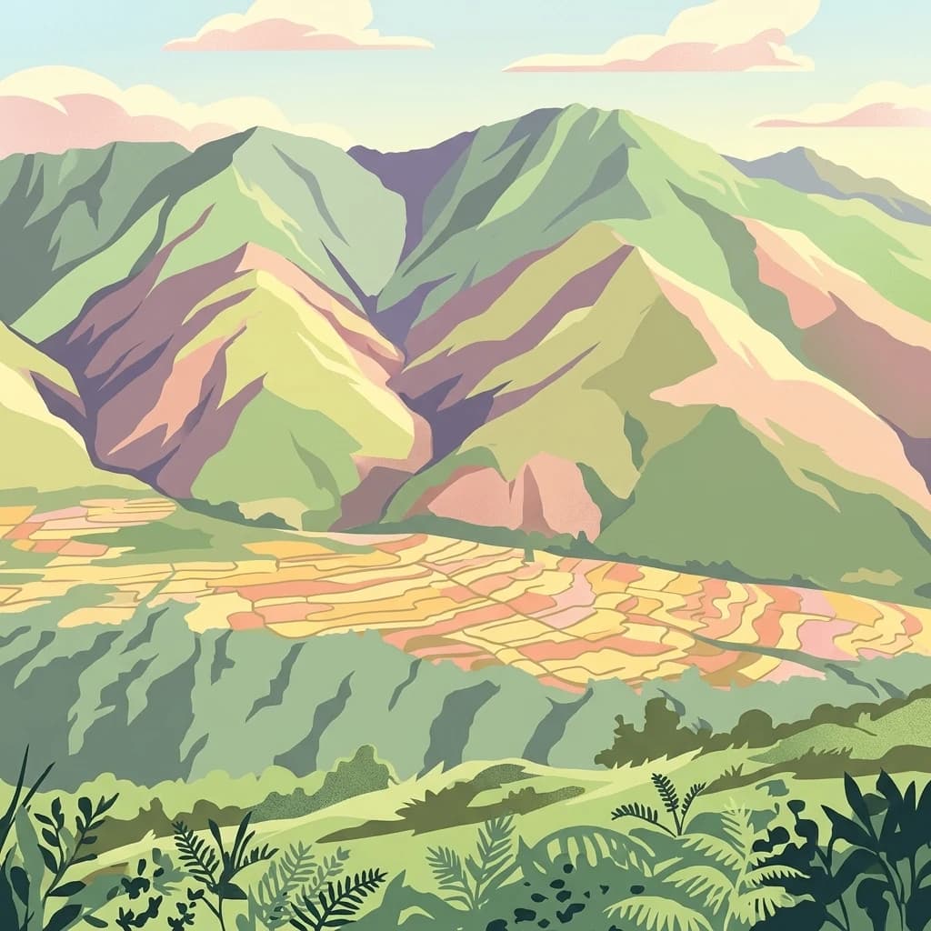
Manas National Park, in Assam, India. Landscapes: mountains, valleys, and forests.
- Area
- 850 km²
- Established
- 1990
- IUCN
- II
- Relief
- Mountain
Geographic context and regional landscape distribution for surrounding protected lands
Identify protected areas and national parks located within the geographic vicinity of Royal Manas National Park. This regional overview provides mapped landscape context, showing how protected lands and biological corridors connect across the southern foothills of the Himalayas in Bhutan.
Related tags
Bhutan's oldest national park and conservation flagship protecting Himalayan biodiversity
Royal Manas National Park is Bhutan's oldest national park, established in 1966 and spanning 1,057 square kilometers across eastern Sarpang District, western Zhemgang District, and western Pemagatshel District in southern Bhutan. The park is considered the conservation showpiece of the Kingdom and serves as a genetic depository for valuable plant species. It forms part of a connected network of protected areas through biological corridors linking it to Phibsoo Wildlife Sanctuary, Jigme Singye Wangchuck National Park, Phrumsengla National Park, and Jomotsangkha Wildlife Sanctuary. The park directly abuts Manas National Park in Assam, India, which is a World Heritage Site, and is itself listed as a tentative site for UNESCO inclusion. Royal Manas protects remarkably diverse habitats ranging from lowland tropical forests to permanent ice fields, making it one of the most ecologically significant protected areas in the Eastern Himalayas.
See the ranked park cluster in its geographic setting
Distance ranked collection and surrounding regional park geography comparison

Southeast
Explore mapped boundaries and regional landscape context.
Manas National Park, in Assam, India. Landscapes: mountains, valleys, and forests.
Northeast
Explore mapped boundaries and diverse Himalayan terrain.
Phrumsengla National Park serves as a vital protected area within Bhutan, characterized by its extensive altitudinal range and varied landscape. Spanning from subtropical valleys to alpine zones, the park showcases a remarkable transition of ecosystems, including significant old-growth fir forests. Its location and unique geographic features make it an important component of any study of the region's protected lands and Himalayan geography, offering rich data for atlas exploration and understanding natural landscapes.
Southwest
Protected corridors and sub-Himalayan forest terrain
Sikhna Jwhwlao National Park provides a vital link between four neighbouring protected areas in the Bodoland region. The park landscape features a complex mosaic of riverine corridors and moist deciduous forests that anchor wildlife movement near the Indo-Bhutan frontier. Beyond its role as a flagship habitat for primates and rhinoceros, the park contains significant cultural heritage sites tied to Bodo history within its distinct sub-Himalayan topography.

Northwest
Mapped protected area within Trongsa District's natural terrain.
Delve into the detailed geographic identity of Jigme Singye Wangchuck National Park, a protected national park situated in Bhutan's Trongsa District. This park provides essential context for understanding Bhutanese geography and conservation landscapes. Examine its mapped boundaries and place within the regional terrain, offering a structured exploration for anyone interested in national park geography and protected natural areas.
West
Mapping the protected landscape and natural terrain of this Bhutanese sanctuary.
Delve into the specifics of Phibsoo Wildlife Sanctuary, a protected wildlife reserve situated within the geographic expanse of Bhutan. This park detail page focuses on its identity as a conservation landscape, offering insights into its mapped terrain and its significance within the broader regional geography of the Eastern Himalayas. Understand the protected boundaries and the unique natural context that Phibsoo Wildlife Sanctuary represents.
Southwest
A vital wildlife reserve within the Brahmaputra foothills
Chakrashila Wildlife Sanctuary represents a key ecological link in western Assam, characterized by its mix of sal-dominated hill forests and two significant freshwater wetlands, Dheer Beel and Diplai Beel. This compact reserve offers a distinct topographical study of the Brahmaputra foothills and remains a central point for understanding primate-focused habitat preservation in the region.

West
Discover mapped terrain and regional geography within Raimona National Park.
Raimona National Park, designated as a national park within India's Kokrajhar District, offers rich opportunities for atlas-based geographic discovery. This page details the park's protected landscape, providing insights into its mapped boundaries and the surrounding natural terrain. Understanding Raimona National Park's placement within the regional geography allows for a deeper appreciation of its role as a significant protected area, perfect for detailed map exploration and landscape context.
East
Mapping Himalayan foothill terrain and Indo-Bhutan border ecosystems.
Spanning the rolling foothills of Assam, Bornadi Wildlife Sanctuary represents a significant protected area focused on Himalayan fringe habitats. This geographic overview highlights the reserve's unique riverine corridors, mixed forest cover, and transitional grasslands that function as essential nodes in the broader conservation geography of northeastern India.
North
Mapped geographic context and park identity in the Eastern Himalayas.
Wangchuck Centennial National Park stands as a protected national park within Bhutan, offering a detailed look at its geographic distribution and landscape characteristics. This page provides essential atlas-level information about its mapped boundaries and its significance as a protected area in the South Asian region.

Northwest
Explore mapped boundaries and diverse ecosystems within this national park.
Jigme Dorji National Park, in Bhutan. Landscapes: mountains, rivers, and glaciers.
Northeast
Explore its regional geography and natural landscape context.
Bumdeling Wildlife Sanctuary is a designated wildlife reserve located in Bhutan's Trashiyangtse District. This page provides detailed atlas-style information on its protected landscape, including its geographic positioning and mapped boundaries. Understand how this reserve contributes to the regional geography and serves as a crucial element of Bhutan's protected areas.

West
Mapped boundaries and diverse ecosystems within India's easternmost tiger reserve.
Buxa Tiger Reserve, a designated national park in India's Alipurduar district, offers a profound look into a protected landscape at the crossroads of major biogeographic zones. Its terrain ascends from the Gangetic Plains to the Himalayan foothills, showcasing a rich tapestry of forest types and supporting significant faunal diversity. This reserve functions as a crucial international elephant corridor, facilitating wildlife movement between India and Bhutan, and stands as a testament to the importance of mapped protected areas in transboundary conservation efforts.
East
Mapping the mountainous terrain and unique temperate ecosystems.
Sakteng Wildlife Sanctuary is a vital protected area in eastern Bhutan, recognized as a wildlife reserve. Spanning approximately 742 square kilometers within Trashigang District, it features a dramatic mountainous terrain characterized by steep valleys and alpine meadows. The sanctuary's landscape transitions from forested slopes to subalpine conifer forests, representing Bhutan's easternmost temperate ecosystems and offering rich geographic context for atlas exploration.
Northwest
Explore the mapped geography and national animal sanctuary.
The Motithang Takin Preserve offers a unique glimpse into Bhutan's dedication to its national animal, the takin. This wildlife reserve, located near the capital city, provides a defined protected area where the distinctive goat-antelope thrives. By examining the preserve's mapped boundaries and its forested terrain, users gain insight into Bhutan's approach to conservation and the cultural significance of this iconic species within the Himalayan landscape.

West
Explore mapped boundaries and savanna terrain in Alipurduar district.
Jaldapara National Park is a protected national park in India's Alipurduar district, celebrated for its expansive rolling grasslands and significant population of Indian one-horned rhinoceros. This protected area showcases a distinctive savanna landscape, an unusual feature among Indian national parks, interspersed with riverine forests. Its elevation of 61 meters above sea level positions it at the edge of the Eastern Himalayas, offering a unique geographic setting for understanding regional biodiversity and conservation efforts.
East
Explore mapped boundaries and terrain context of this national park.
Orang National Park, located in Assam, India, is a significant protected area celebrated for its unique alluvial floodplain terrain and critical role in conservation. This national park provides a focused atlas-style view of grassland and wetland ecosystems, essential habitats for iconic species like the great Indian one-horned rhinoceros and Bengal tiger. Its geographical setting along the Brahmaputra River contributes to a dynamic landscape, offering rich context for understanding protected area distribution and regional natural features. Discover the mapped boundaries and ecological significance of this important protected land.

Southwest
Explore its mapped boundaries and diverse natural terrain.
Nokrek National Park is a vital protected mountain wilderness situated in the West Garo Hills district, Meghalaya, India. Its rugged terrain, characterized by ancient geological formations and dense evergreen forests, supports remarkable biodiversity. As a key component of the Nokrek Biosphere Reserve, it offers a unique glimpse into the region's ecological significance, serving as an important source for major rivers and a sanctuary for diverse flora and fauna.

East
Mapping the Eastern Himalayan foothills in West Kameng
Eaglenest Wildlife Sanctuary stands as a landmark of Indo-Burmese biodiversity conservation, spanning a dramatic altitudinal range that anchors the West Kameng forest complex. This wildlife reserve features dense bamboo stands, temperate ridges, and foothill forest corridors that provide a crucial environment for diverse mammal and bird species. The sanctuary remains a primary site for understanding the interaction between mountain topography and ecological connectivity in the Eastern Himalayas.

South
Explore the geographic contours of a key protected land.
Balphakram National Park serves as a vital protected area, offering a distinct geographic profile and mapped landscape for exploration. As a national park, its boundaries and surrounding natural terrain provide critical context within the broader atlas of protected lands. This detailed entry facilitates a deeper understanding of the park's unique geographic characteristics and its significance as a conserved natural environment for detailed landscape study.

West
Mapped geography and protected boundaries within the Eastern Himalayas.
Torsa Strict Nature Reserve represents a vital component of Bhutan's protected natural areas. This detail page offers a structured exploration of its identity as a nature reserve, focusing on its geographic placement within the country and the surrounding Himalayan terrain. Users can investigate the mapped outlines of this protected landscape, gaining a clearer understanding of its regional context and its significance for atlas-driven geographic discovery.
Geographic measurements, not driving distances
Calculated between the nearest points of both park boundaries.
Estimated from one mapped park location to the nearest boundary of the other park.
Estimated between the mapped locations of both parks.
Deepen your understanding of Royal Manas National Park's unique position within Bhutan's geography. Investigate the mapped terrain and diverse ecosystems that define this historic protected area, furthering your atlas-based discovery of its conservation significance and regional landscape.